Elevation of Georgetown, SC, USA
Location: United States > South Carolina > Georgetown County >
Longitude: -79.294496
Latitude: 33.376834
Elevation: 5m / 16feet
Barometric Pressure: 101KPa
Elevation Map:
Satellite Map:
Related Photos:

Epic view from the bridge
sand trap
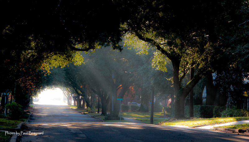
Sunrise on Meeting Street
I've had worse hotel views.
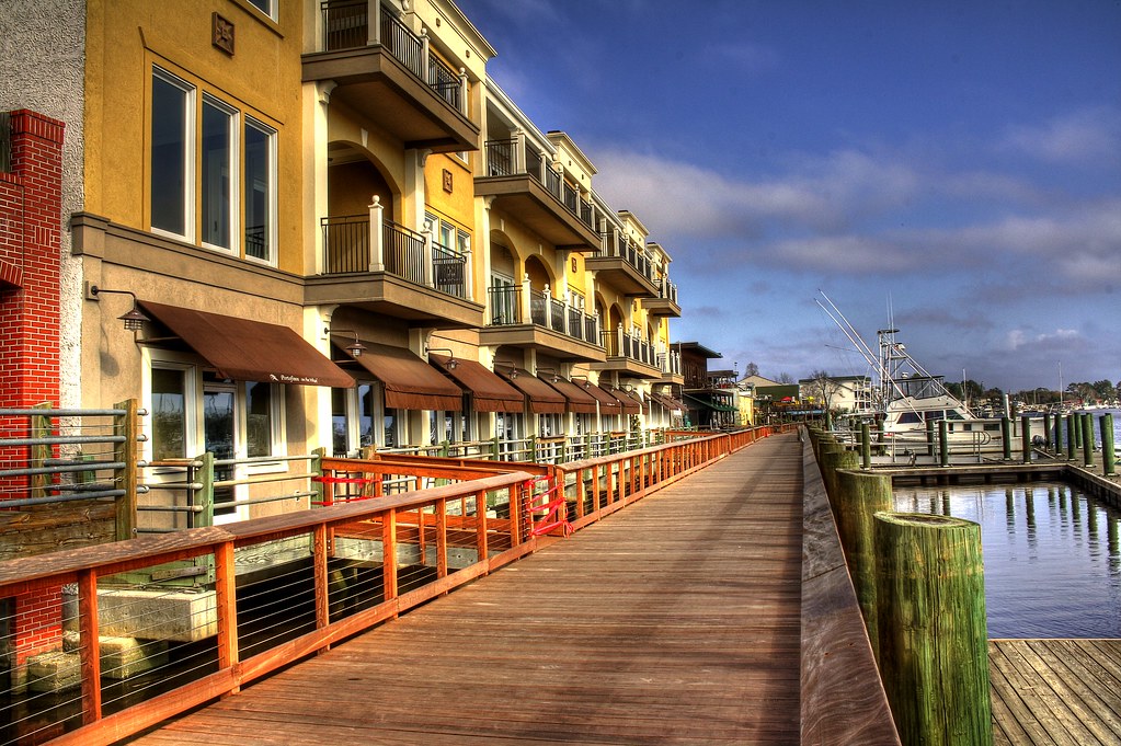
Shop, Dine or Sail?

Sowing is not as Difficult as Reaping

Window view
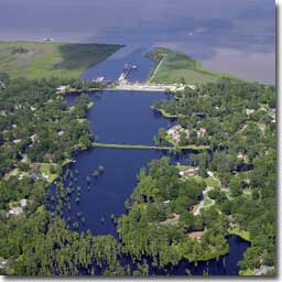
Aerial View of Property - Yacht Club at Belle Isle
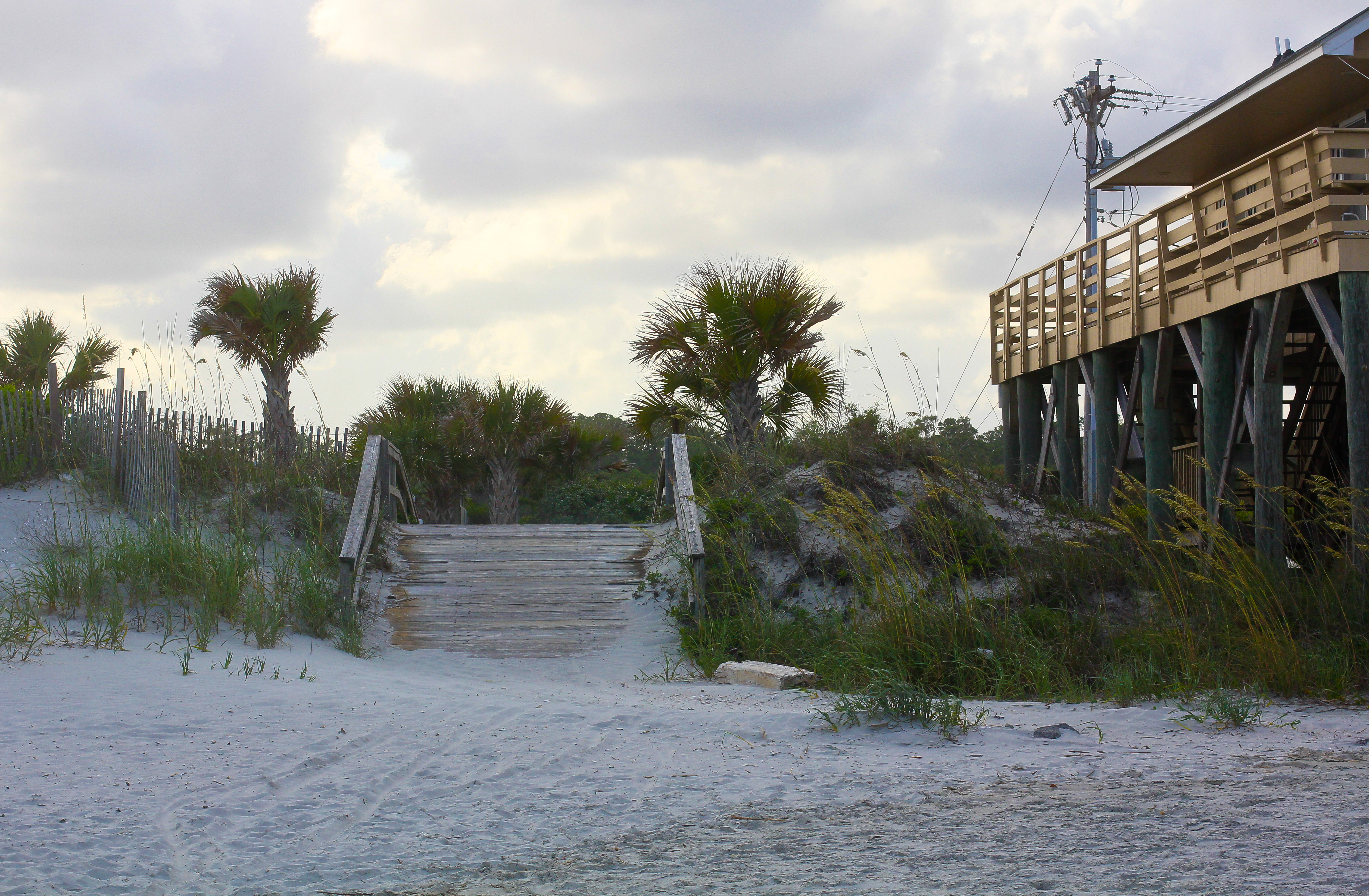
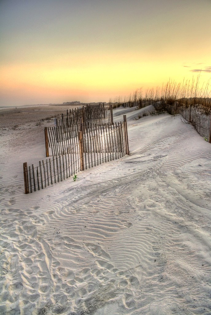
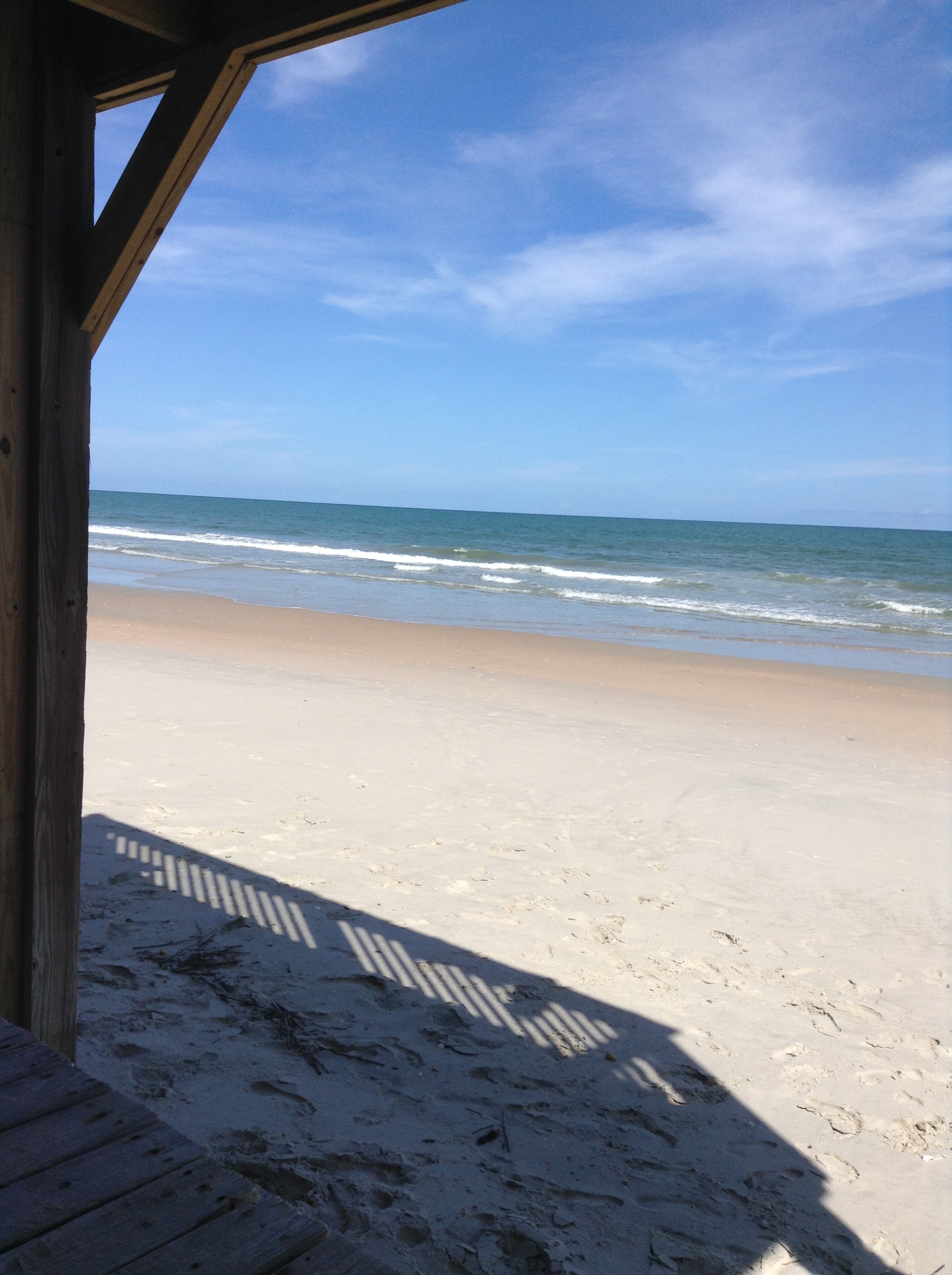
A Beach Paradise
Tower View
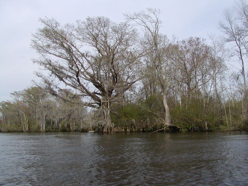
Waccamaw River Cypress Trees
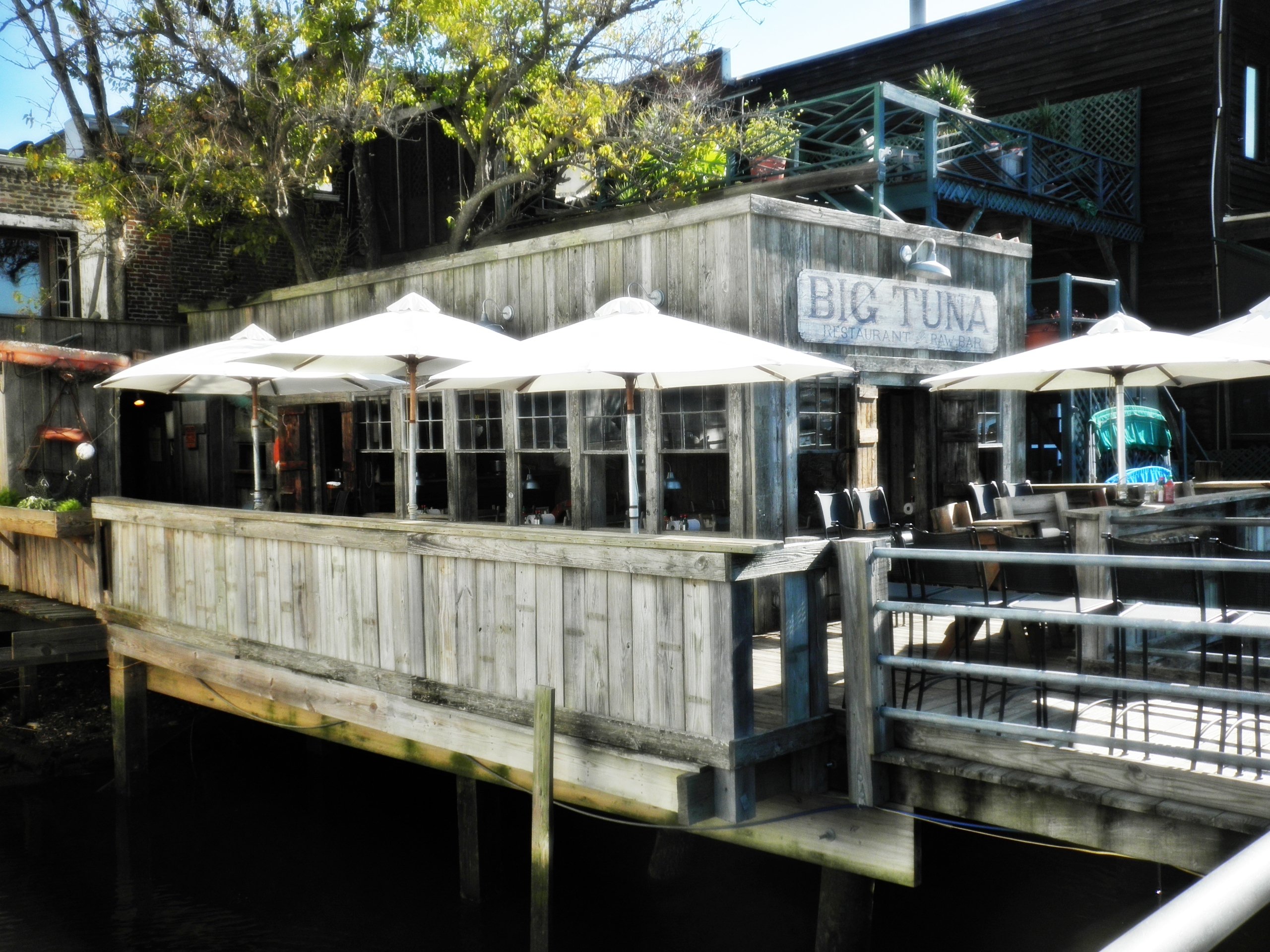
View of the Big Tuna from the boardwalk
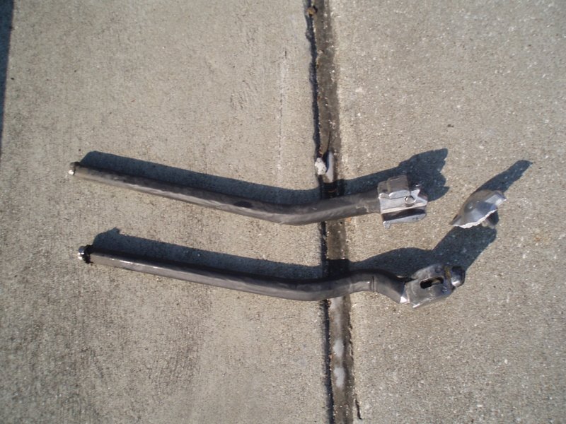
My kickstand broke--SHUCKS!
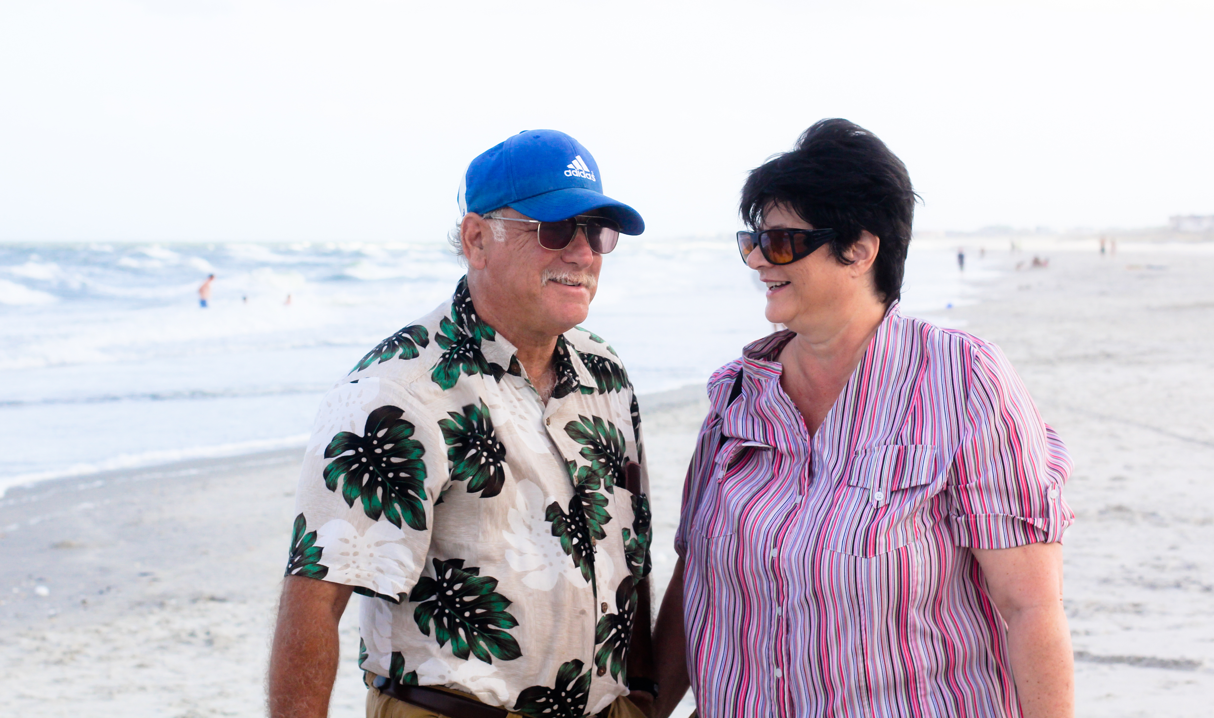
Mom & Dad

Who put these here?

Another kickstand shot
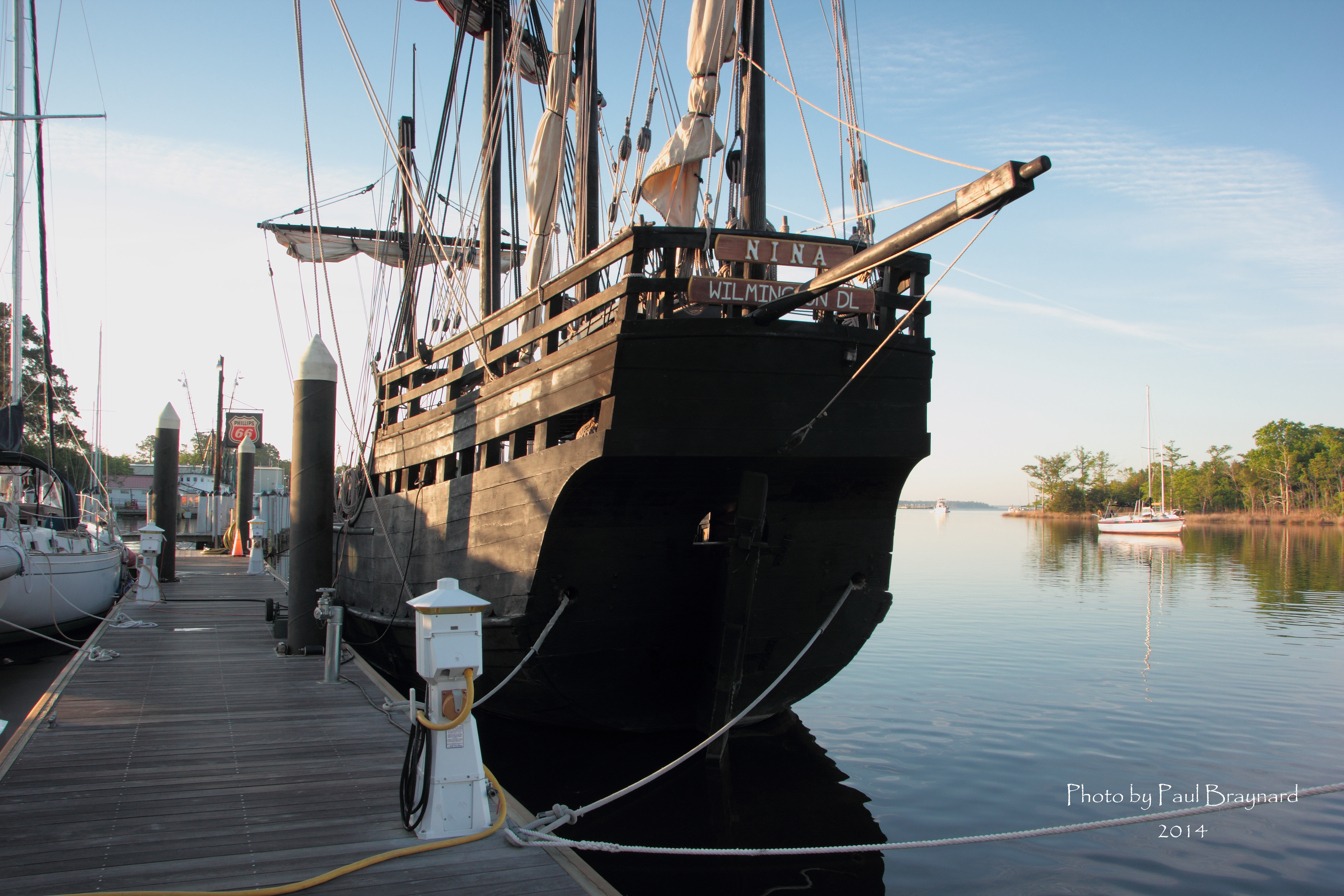
Nina Reproduction - Stern View
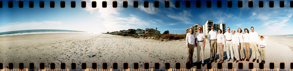
The Hunts, Polks and McLaurins Panorama

View from the front

View from the back
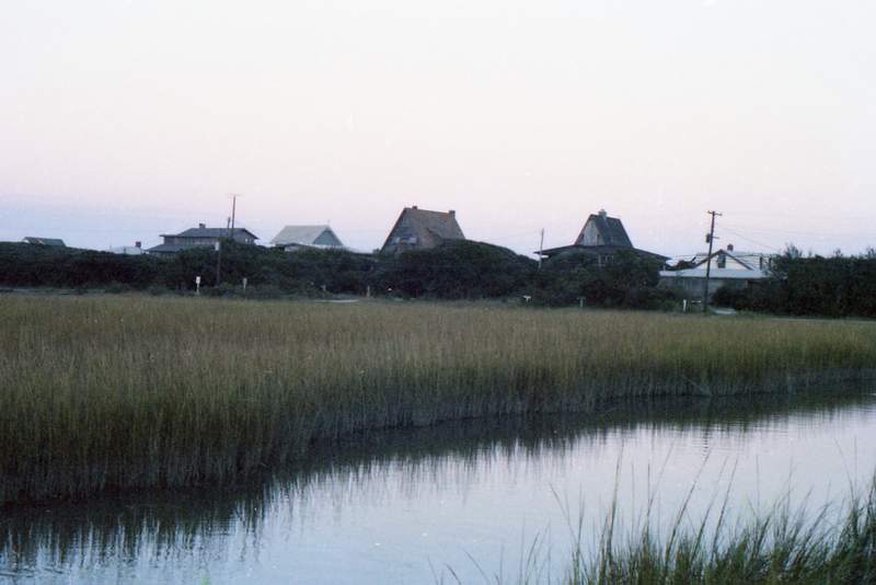
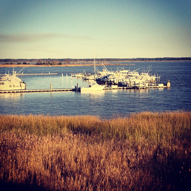
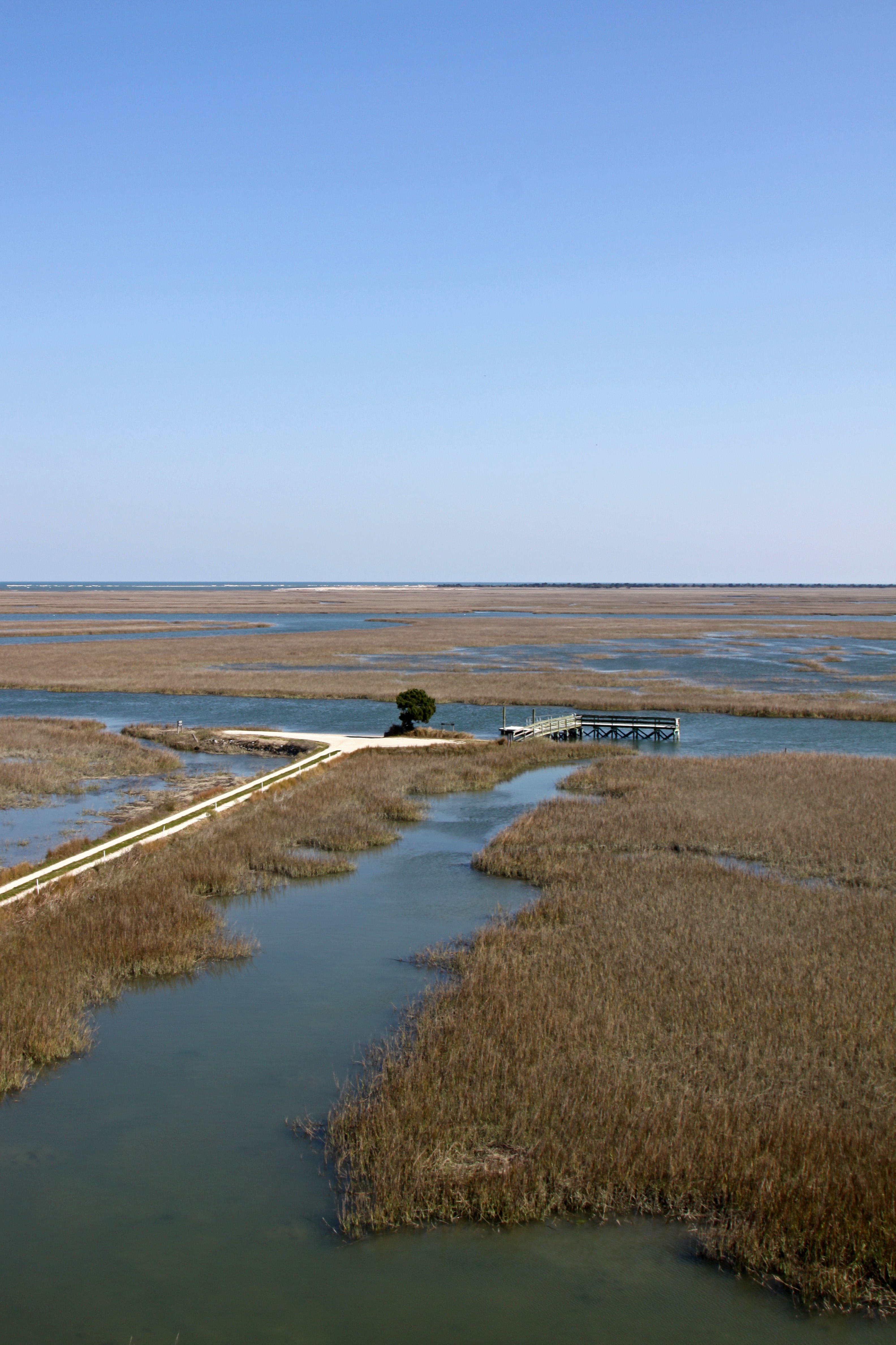
View from the Marsh, ca. 1980

Pawleys Island Sunrise
2014-09-02 13.40.59
Pawleys Sunrise

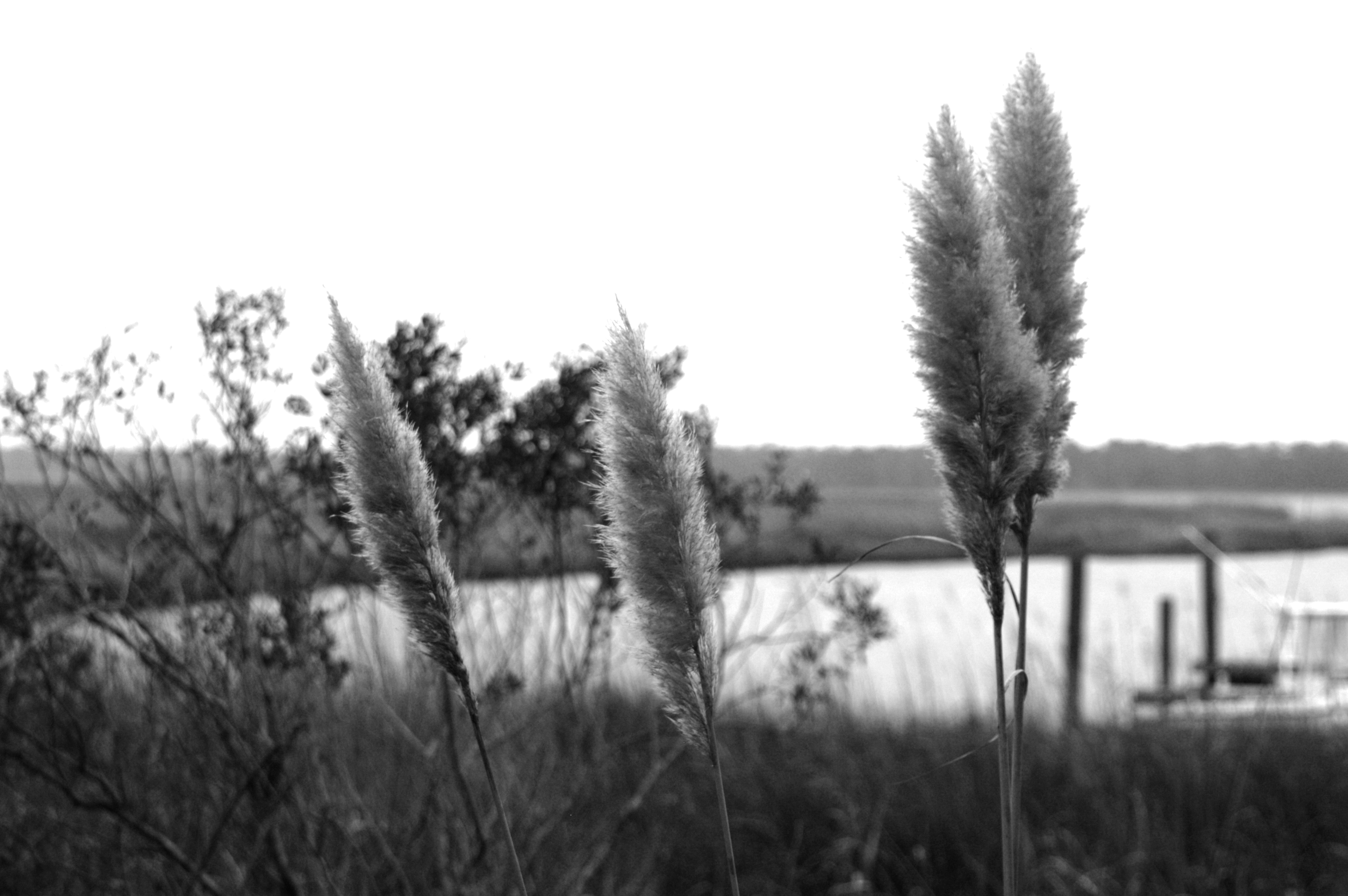
Georgetown Sea Oats
2014-08-31 15.37.36

Dawn at the Jetty - 2

2014-09-05 17.02.05
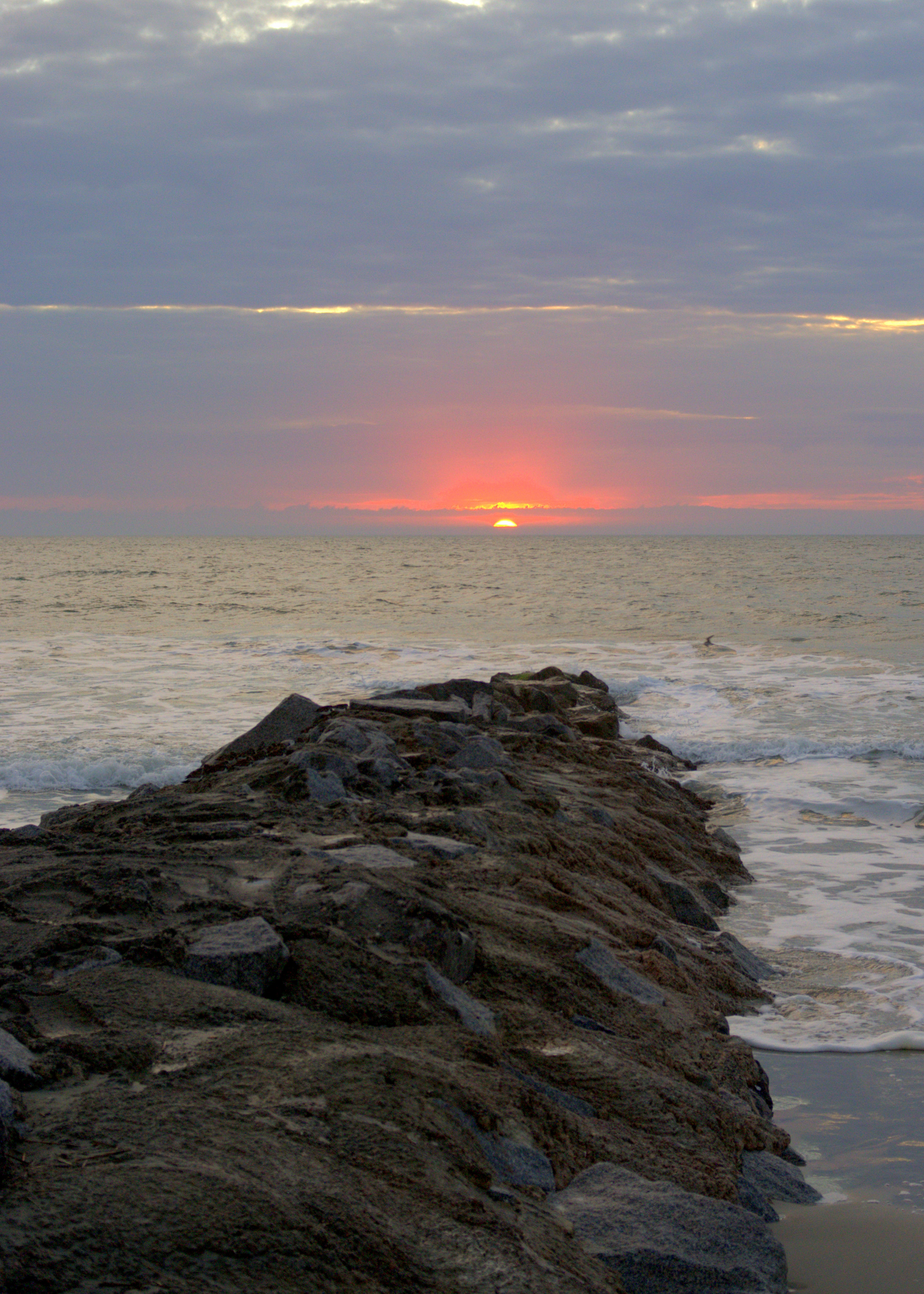
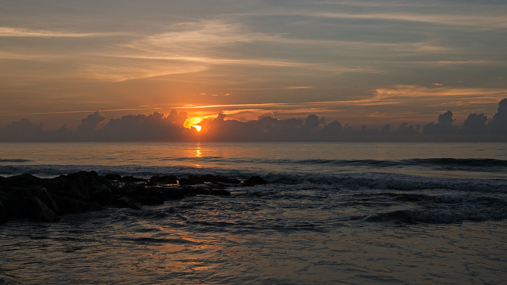
Dawn at the Jetty - 1
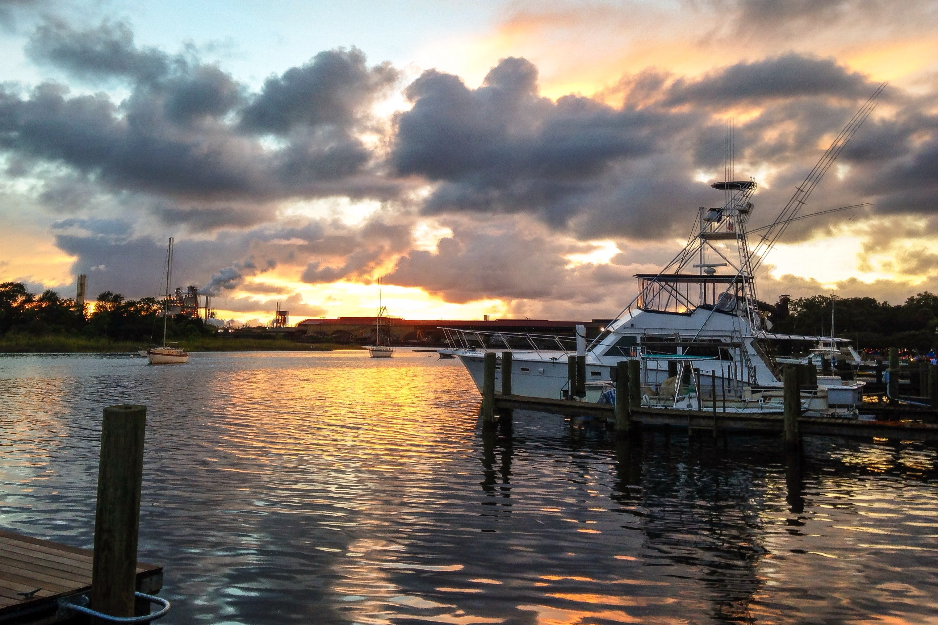
iPhone - Georgetown Waterfront Sunset HDR
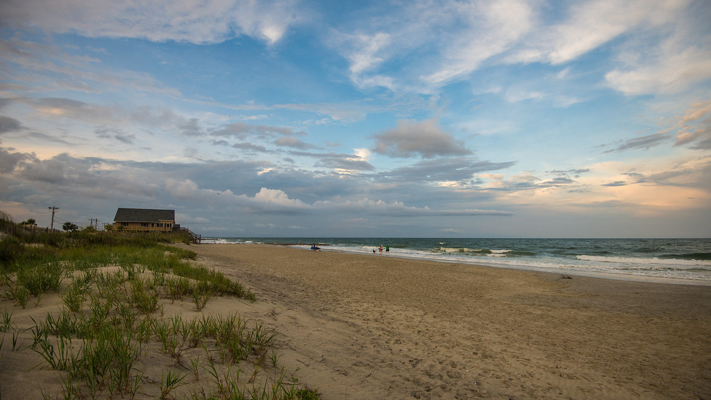
Pawleys Island South
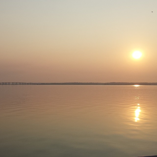
Sunrise on the Waccamaw.

Hissing Goodby
Sea Oats against sea passage

Winter Potomac

"Infrared capture" #ir #infrared #infraredphotography
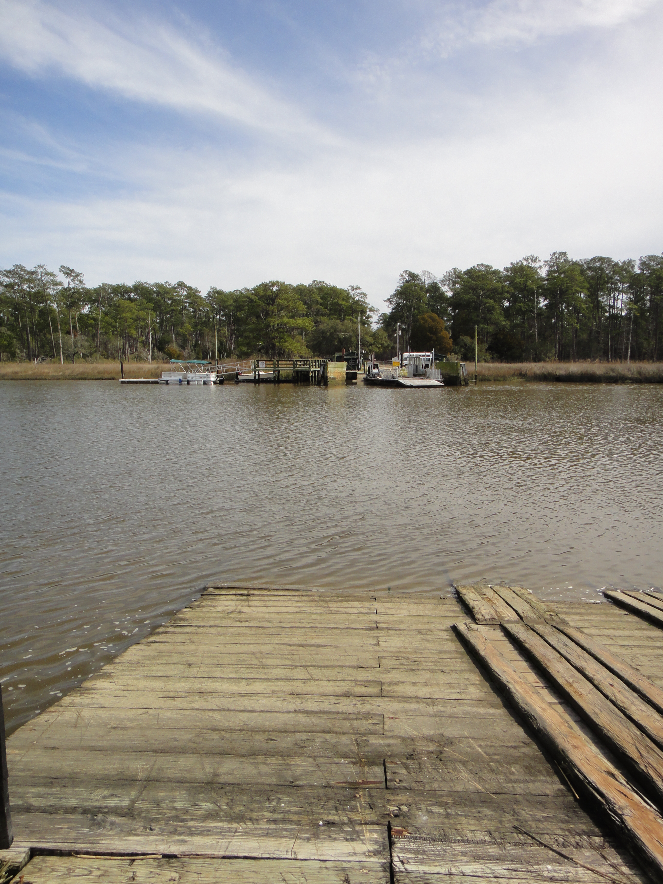
South Island Ferry

International Paper

thru the rails
Georgetown SC - 11
Topographic Map of Georgetown, SC, USA
Find elevation by address:

Places in Georgetown, SC, USA:
S Island Rd, Georgetown, SC, USA
Exodus Dr, Georgetown, SC, USA
Topsaw Rd, Georgetown, SC, USA
22 Seawind Ct, Georgetown, SC, USA
Belladonna Ct, Georgetown, SC, USA
N Fraser St, Georgetown, SC, USA
N Fraser St, Georgetown, SC, USA
County Rd S-22-, Georgetown, SC, USA
County Rd S-22-6, Georgetown, SC, USA
County Rd S-22-, Georgetown, SC, USA
2nd Avenue, Georgetown, SC, USA
One
Ramsey Grove Rd, Georgetown, SC, USA
Jackson Village Rd, Georgetown, SC, USA
Annie Village Rd, Georgetown, SC, USA
Mayrant Bluff Road
Little Carr Creek
Sampit River
Black Mingo Creek
Colony Club Drive
Lantana Circle
U.s. 17
Saints Delight Road
Oak Bay Drive
Sandpiper Lane
East Bay Street
Front Street
Landgrave Street
Lucas Street
Faber Avenue
Greenwich Drive
Loblolly Street
Jericho Court
Samworth Loop
Ocean Green Drive
Debidue Island
Sandy Island
Daniel Morrall Lane
Colony Club Drive
Colony Club Drive
Rose Avenue
Places near Georgetown, SC, USA:
416 Palm St
123 S Hazard St
1303 Heyward St
1230 Highmarket St
Front Street
123 Cleland St
539 Black River Rd
1045 N Fraser St
123 Wood St
Landgrave Street
1173 Palmetto St
1102 Landgrave St
1020 Pyatt St
Lucas Street
800 Front St
700 S Kaminski St
732 Front St
210 Broad St
732 Prince St
724 Front St
Recent Searches:
- Elevation of Corso Fratelli Cairoli, 35, Macerata MC, Italy
- Elevation of Tallevast Rd, Sarasota, FL, USA
- Elevation of 4th St E, Sonoma, CA, USA
- Elevation of Black Hollow Rd, Pennsdale, PA, USA
- Elevation of Oakland Ave, Williamsport, PA, USA
- Elevation of Pedrógão Grande, Portugal
- Elevation of Klee Dr, Martinsburg, WV, USA
- Elevation of Via Roma, Pieranica CR, Italy
- Elevation of Tavkvetili Mountain, Georgia
- Elevation of Hartfords Bluff Cir, Mt Pleasant, SC, USA