Elevation of S Hazard St, Georgetown, SC, USA
Location: United States > South Carolina > Georgetown County > Georgetown >
Longitude: -79.292266
Latitude: 33.3709866
Elevation: 6m / 20feet
Barometric Pressure: 101KPa
Elevation Map:
Satellite Map:
Related Photos:

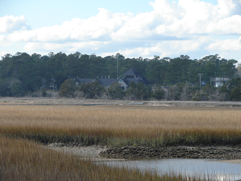
View-A-20_Sarver_NIWBNERR

Epic view from the bridge
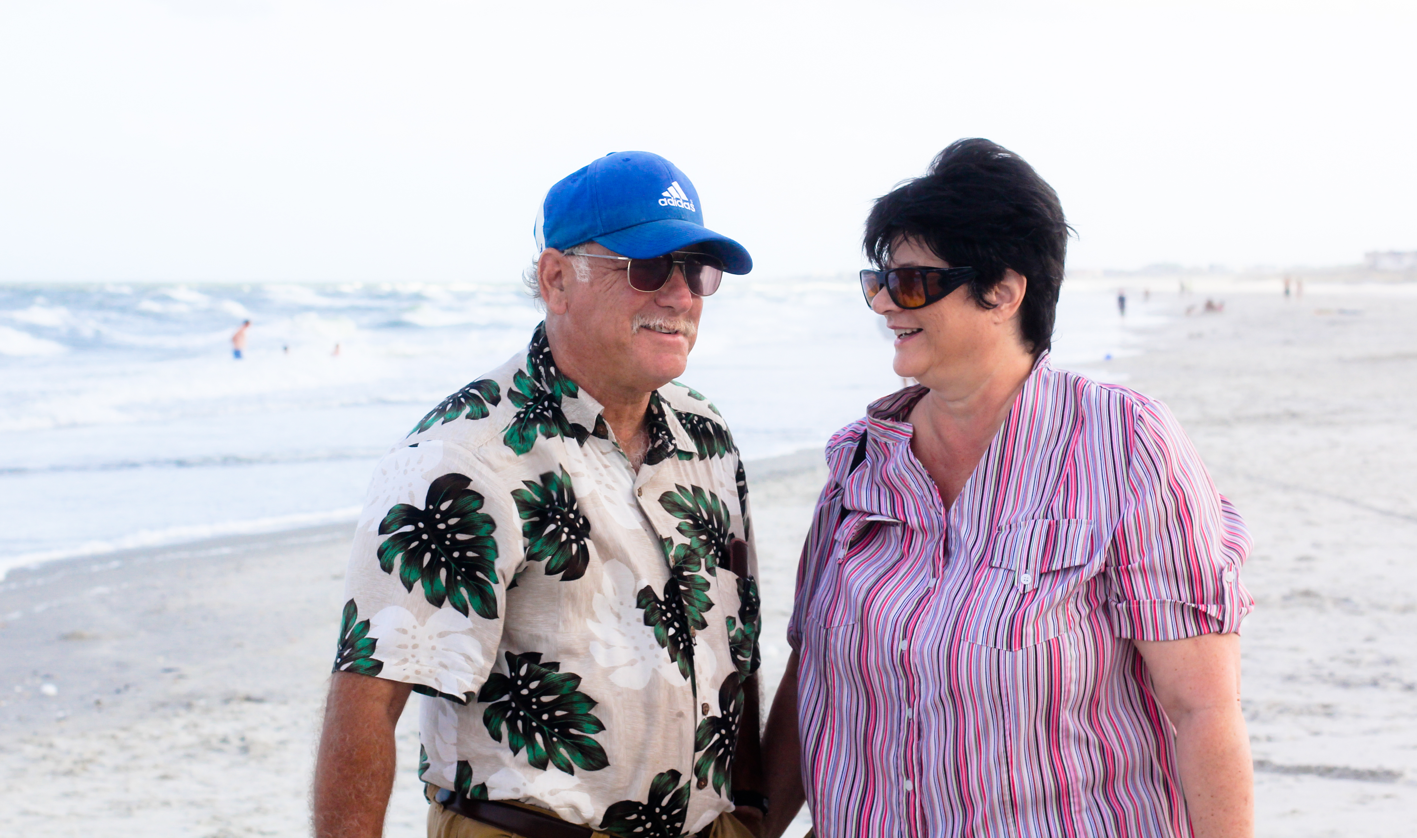
Mom & Dad

Who put these here?
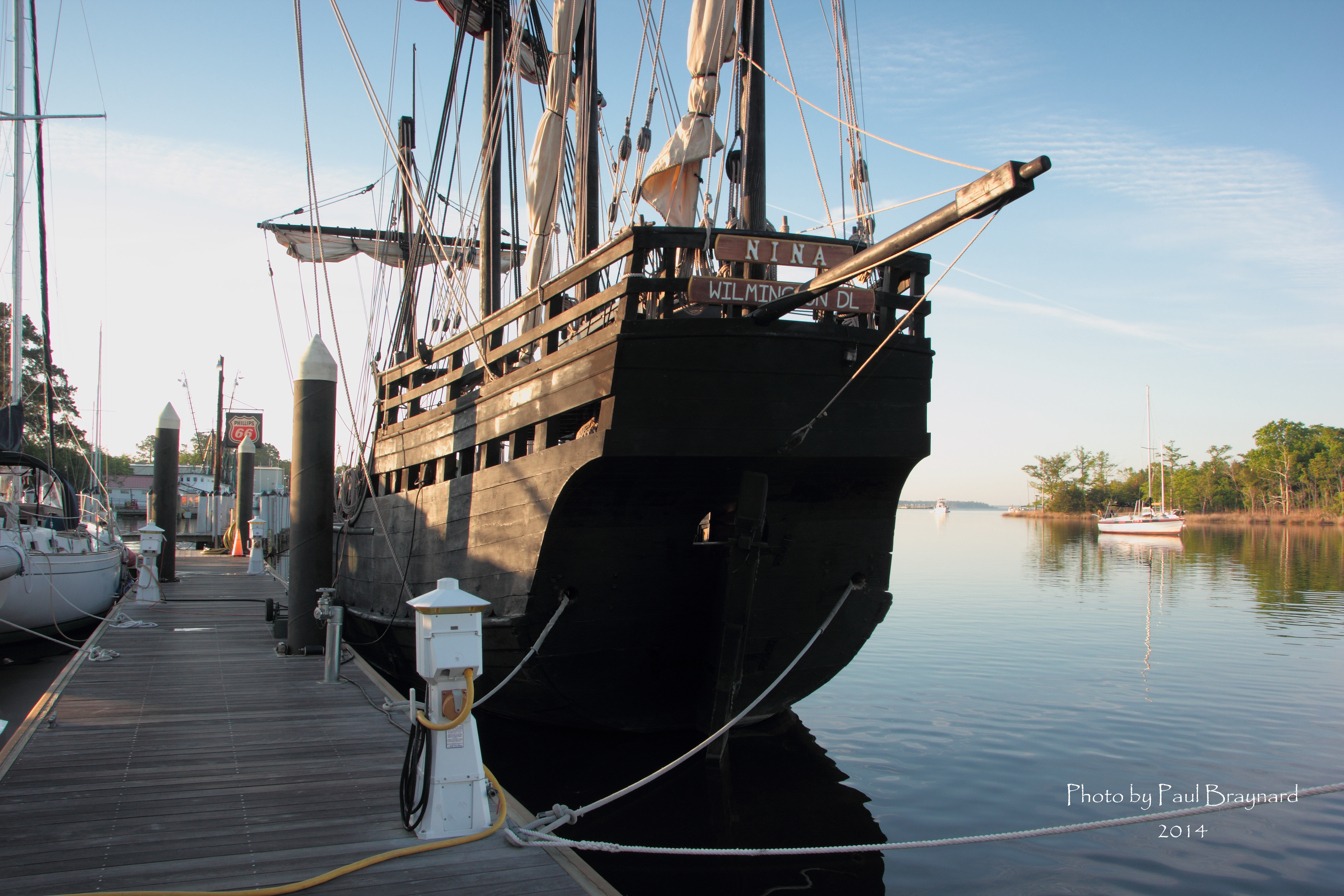
Nina Reproduction - Stern View
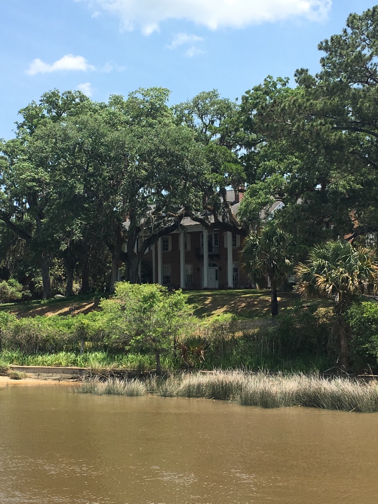
View of House from dock
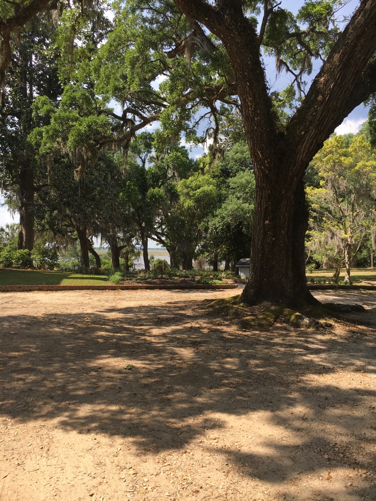
View at the rear down to the bay

Sowing is not as Difficult as Reaping
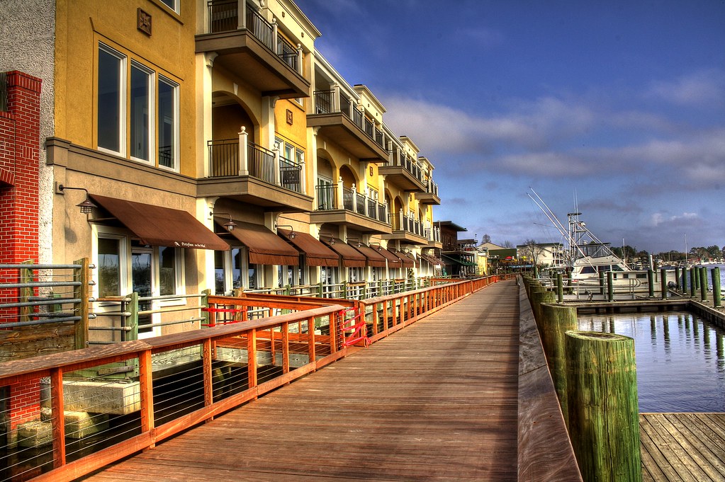
Shop, Dine or Sail?
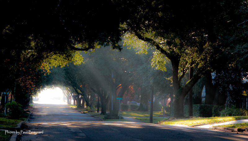
Sunrise on Meeting Street
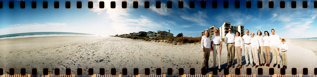
The Hunts, Polks and McLaurins Panorama

Window view

View from the front

View from the back
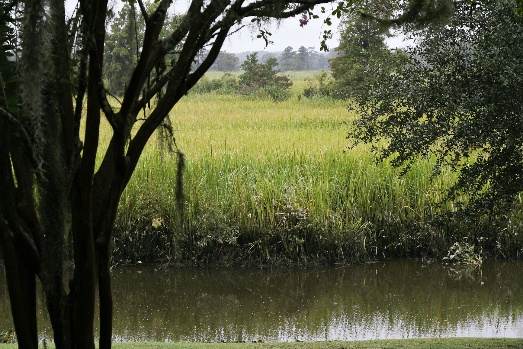
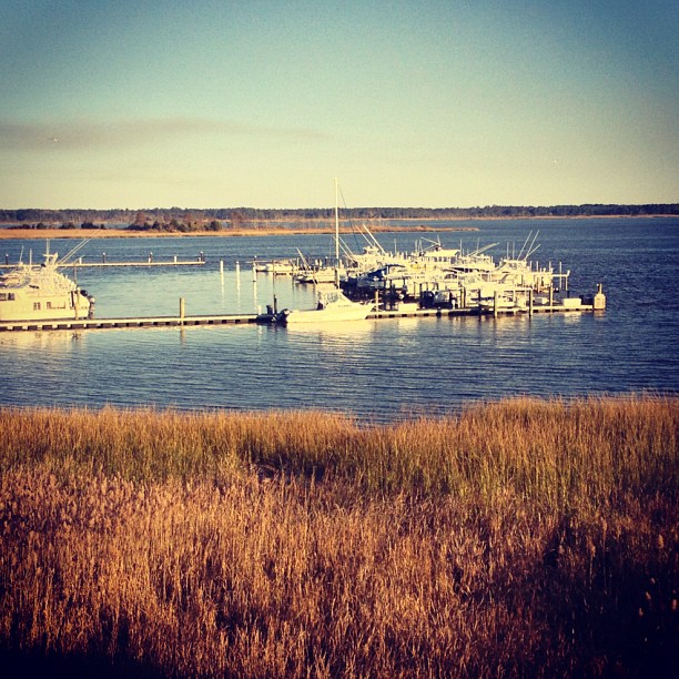
21SEP11: Caledonia marsh
Aerial View of Property - Yacht Club at Belle Isle
Houses at Pawleys
Fort Reynolds side view
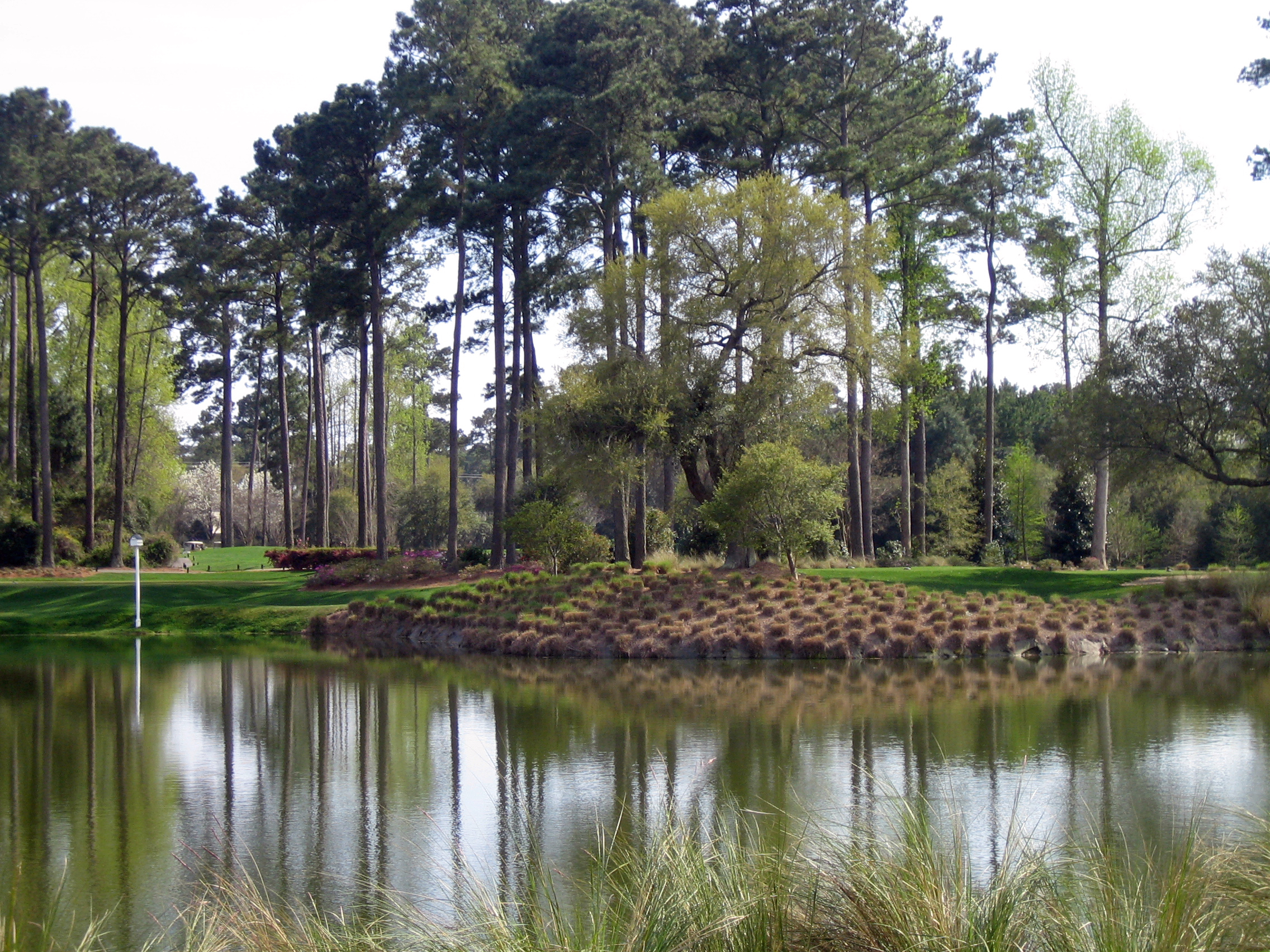
18th at True Blue as Viewed from Clubhouse
My kickstand broke--SHUCKS!
where life slows down

"Infrared capture" #ir #infrared #infraredphotography

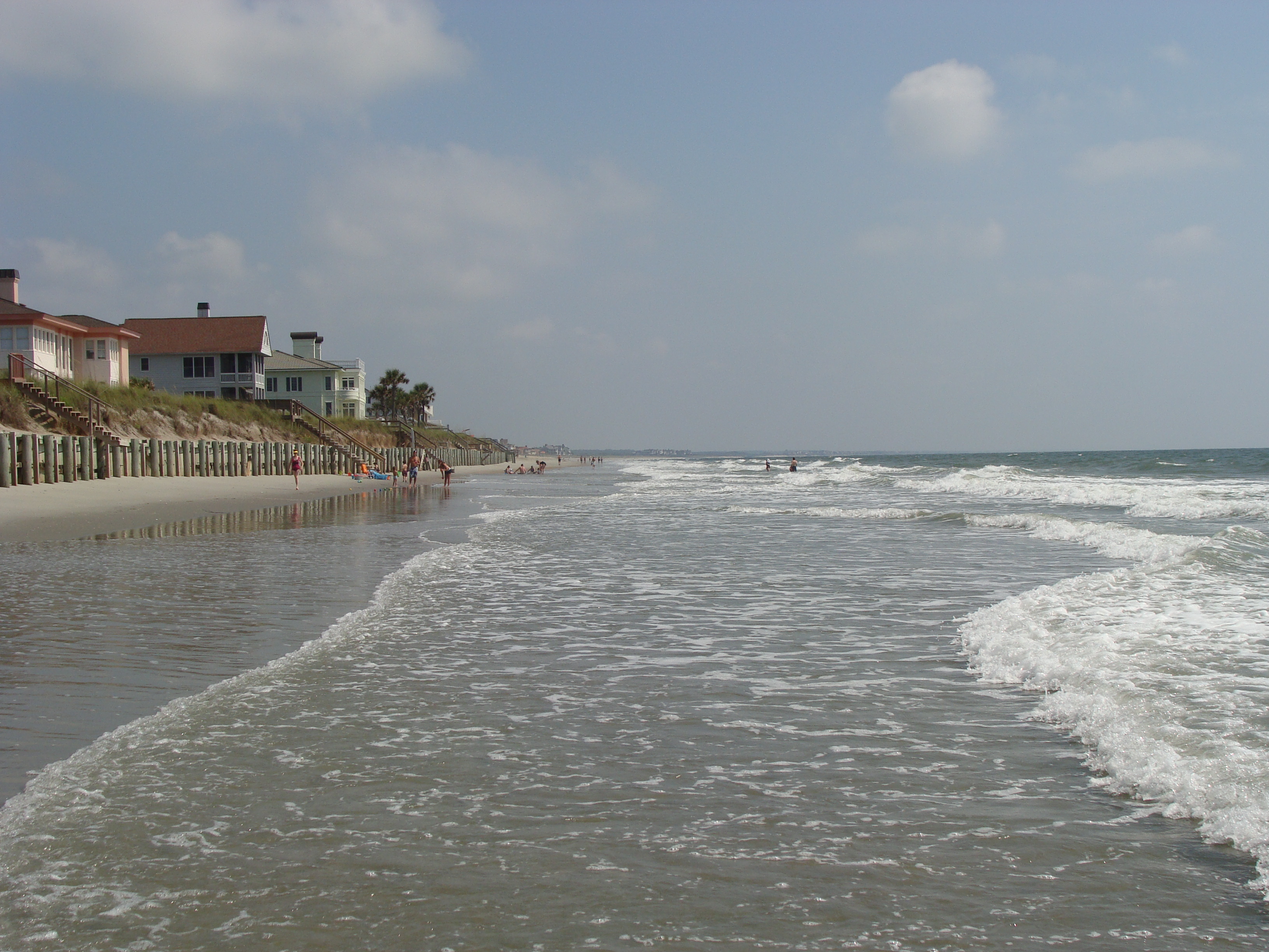
Pawleys Beach Looking South
Day 651 - Sunset
thru the rails
iPhone - Georgetown Waterfront Sunset HDR
Pawleys Sunrise
Pawleys Island Marsh, ca. 1980

Dawn at the Jetty - 2
Dawn at the Jetty - 1

Along the Inlet
2007 Myrtle Beach 033
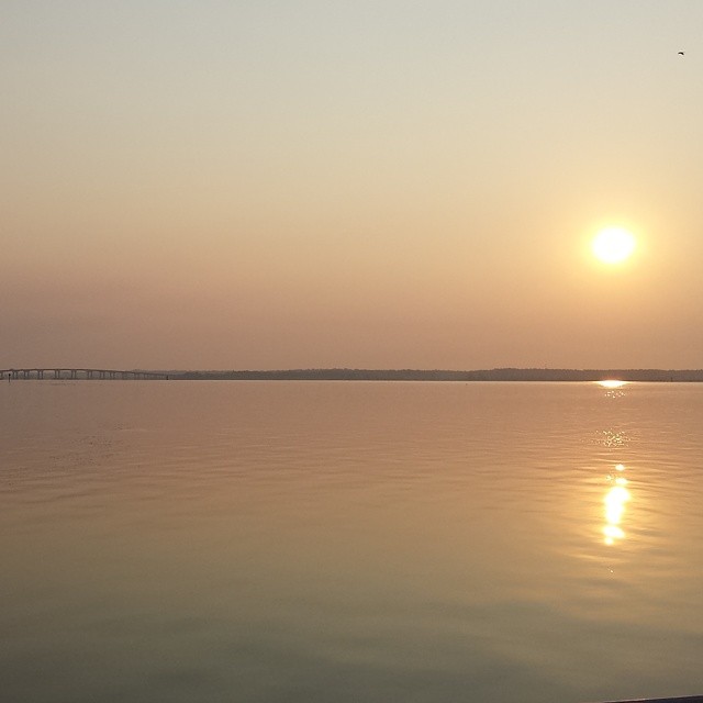
Sunrise on the Waccamaw.
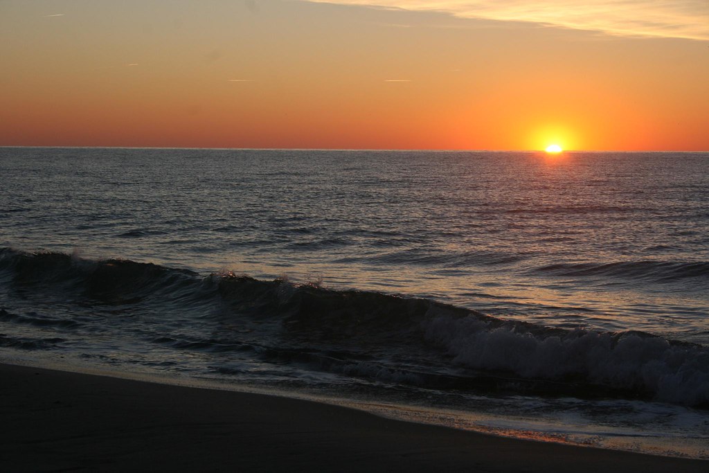
sunrise on the Atlantic
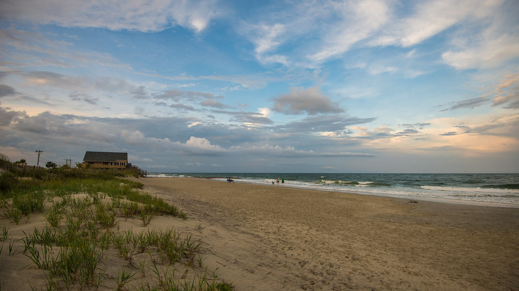
Pawleys Island South
USC Marine Lab

Pawley's Plantation

2014-09-05 17.02.05
beach2009 040

sunrise on the Atlantic

Hissing Goodby
I've had worse hotel views.
Topographic Map of S Hazard St, Georgetown, SC, USA
Find elevation by address:

Places near S Hazard St, Georgetown, SC, USA:
Front Street
123 Cleland St
123 Wood St
1230 Highmarket St
Georgetown
416 Palm St
539 Black River Rd
800 Front St
1173 Palmetto St
732 Front St
724 Front St
1303 Heyward St
700 S Kaminski St
732 Prince St
210 Broad St
700 Front St
723 Highmarket St
600 Front St
19 Queen St
617 Highmarket St
Recent Searches:
- Elevation of Holloway Ave, San Francisco, CA, USA
- Elevation of Norfolk, NY, USA
- Elevation of - San Marcos Pass Rd, Santa Barbara, CA, USA
- Elevation of th Pl SE, Issaquah, WA, USA
- Elevation of 82- D Rd, Captain Cook, HI, USA
- Elevation of Harlow CM20 2PR, UK
- Elevation of Shenyang Agricultural University, Dong Ling Lu, Shen He Qu, Shen Yang Shi, Liao Ning Sheng, China
- Elevation of Alpha Dr, Melbourne, FL, USA
- Elevation of Hiroshima University, 1-chōme-3-2 Kagamiyama, Higashihiroshima, Hiroshima -, Japan
- Elevation of Bernina Dr, Lake Arrowhead, CA, USA