Elevation of Front St, Georgetown, SC, USA
Location: United States > South Carolina > Georgetown County > Georgetown >
Longitude: -79.281091
Latitude: 33.365239
Elevation: 4m / 13feet
Barometric Pressure: 101KPa
Elevation Map:
Satellite Map:
Related Photos:

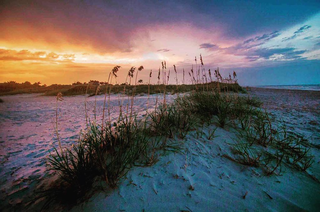
Pawleys Island Sunrise
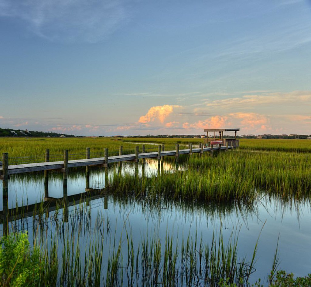
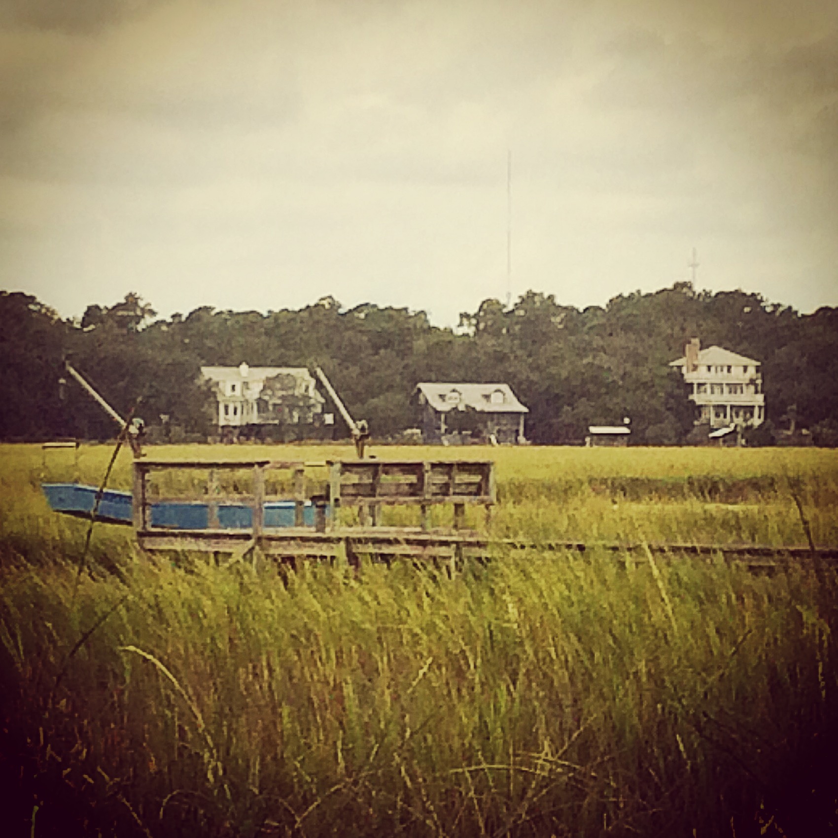
Pawleys Marsh

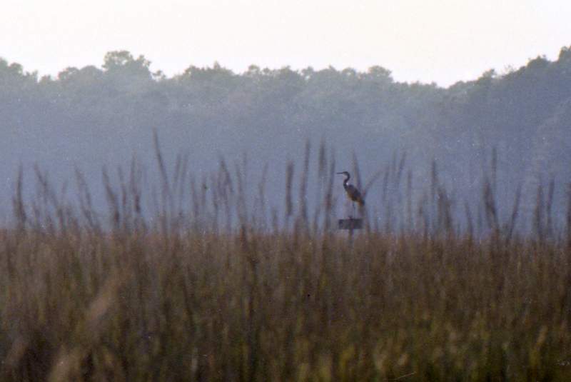
morning marsh

"Infrared capture" #ir #infrared #infraredphotography
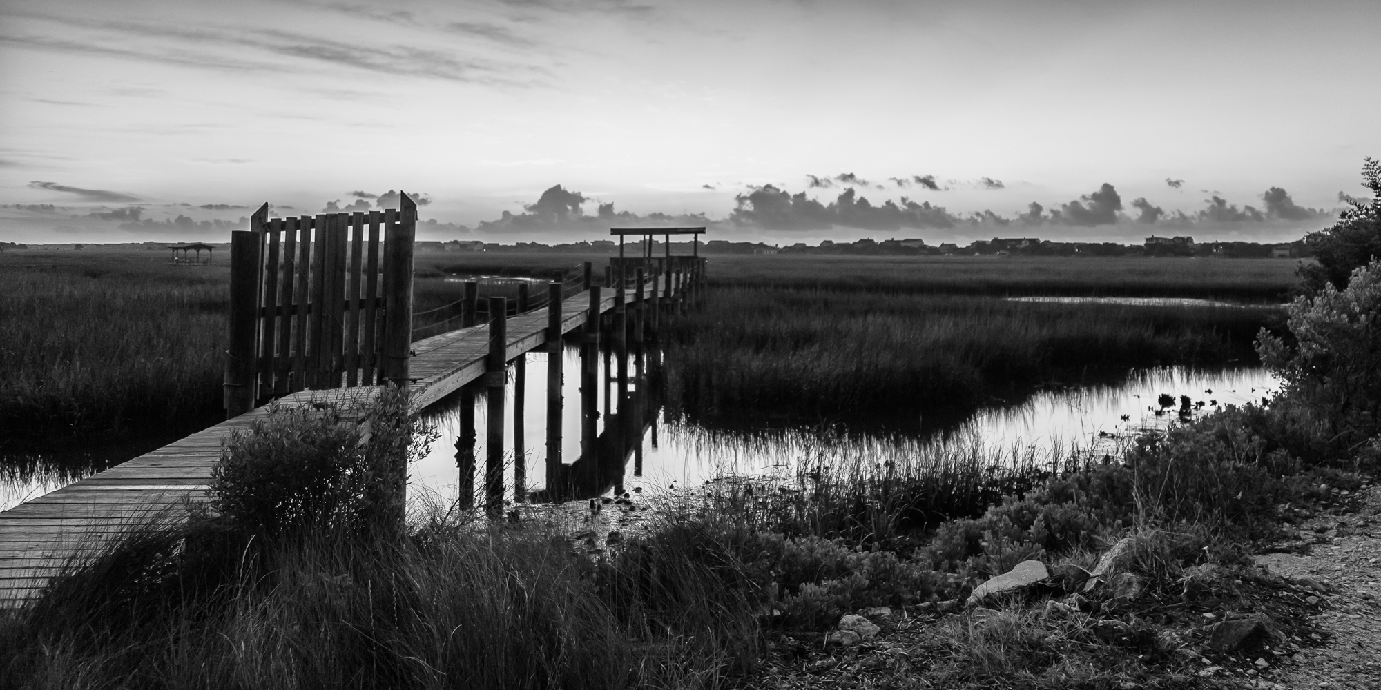
marsh bw
God's painting again! ????@Cjpix . @sunset_stream @sunset_madness @sunset_stream @ig_shotz_sunset @bestshotz_sunset @tgif_sunset @sunsets_oftheworld #tbt #follow #follow4follow #picoft
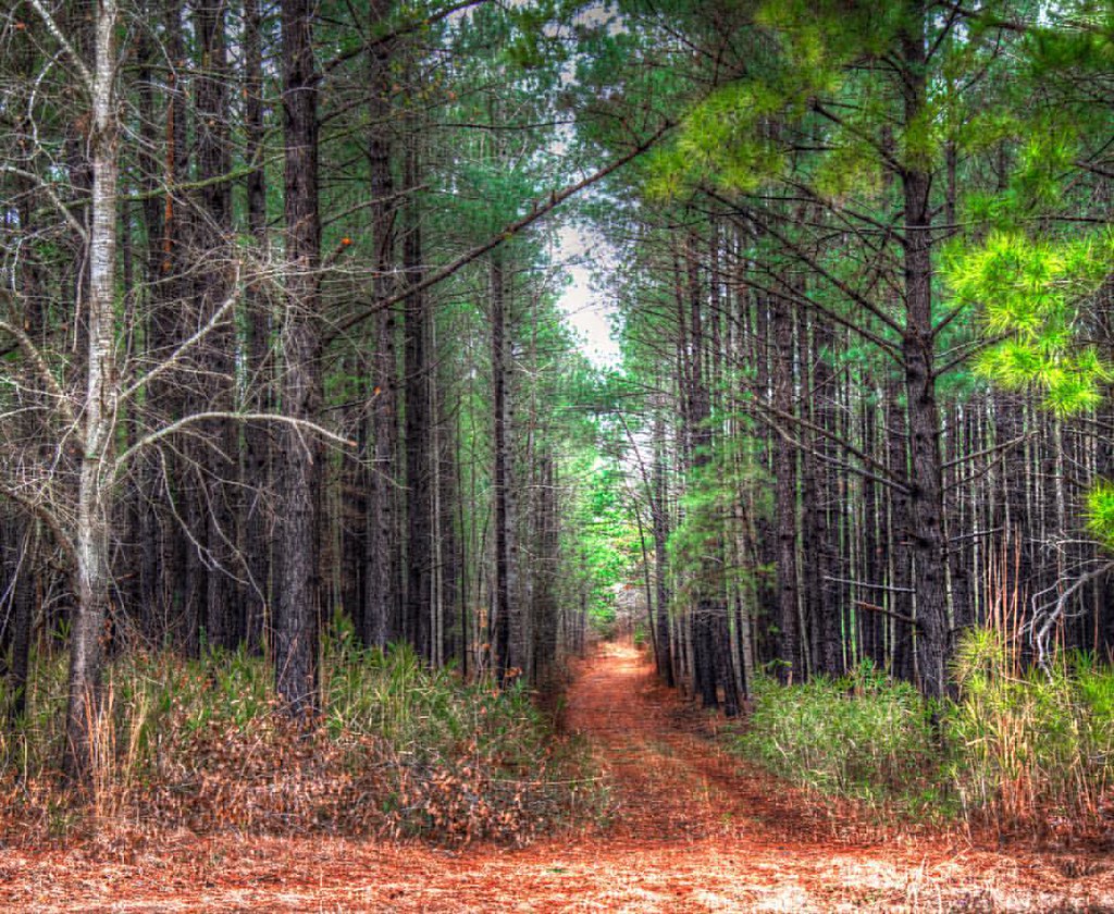
In to the woods
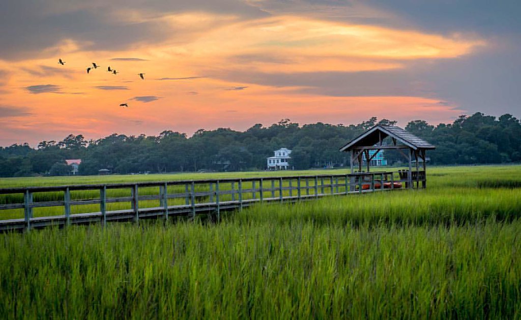
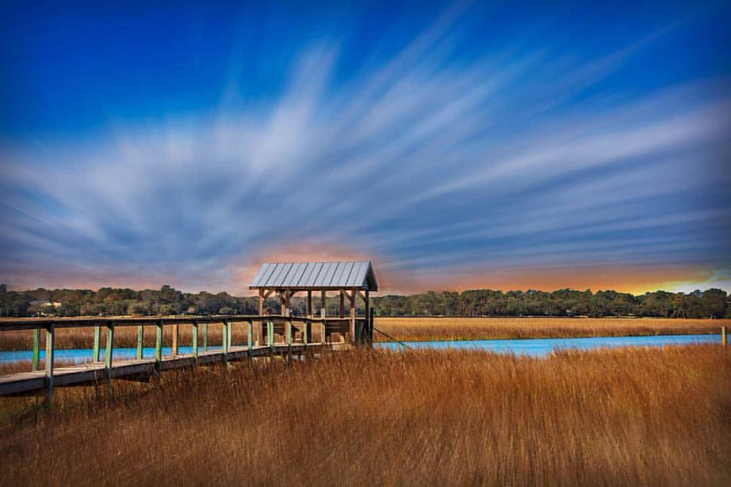
The Marsh at high tide, Pawleys Island

thru the rails
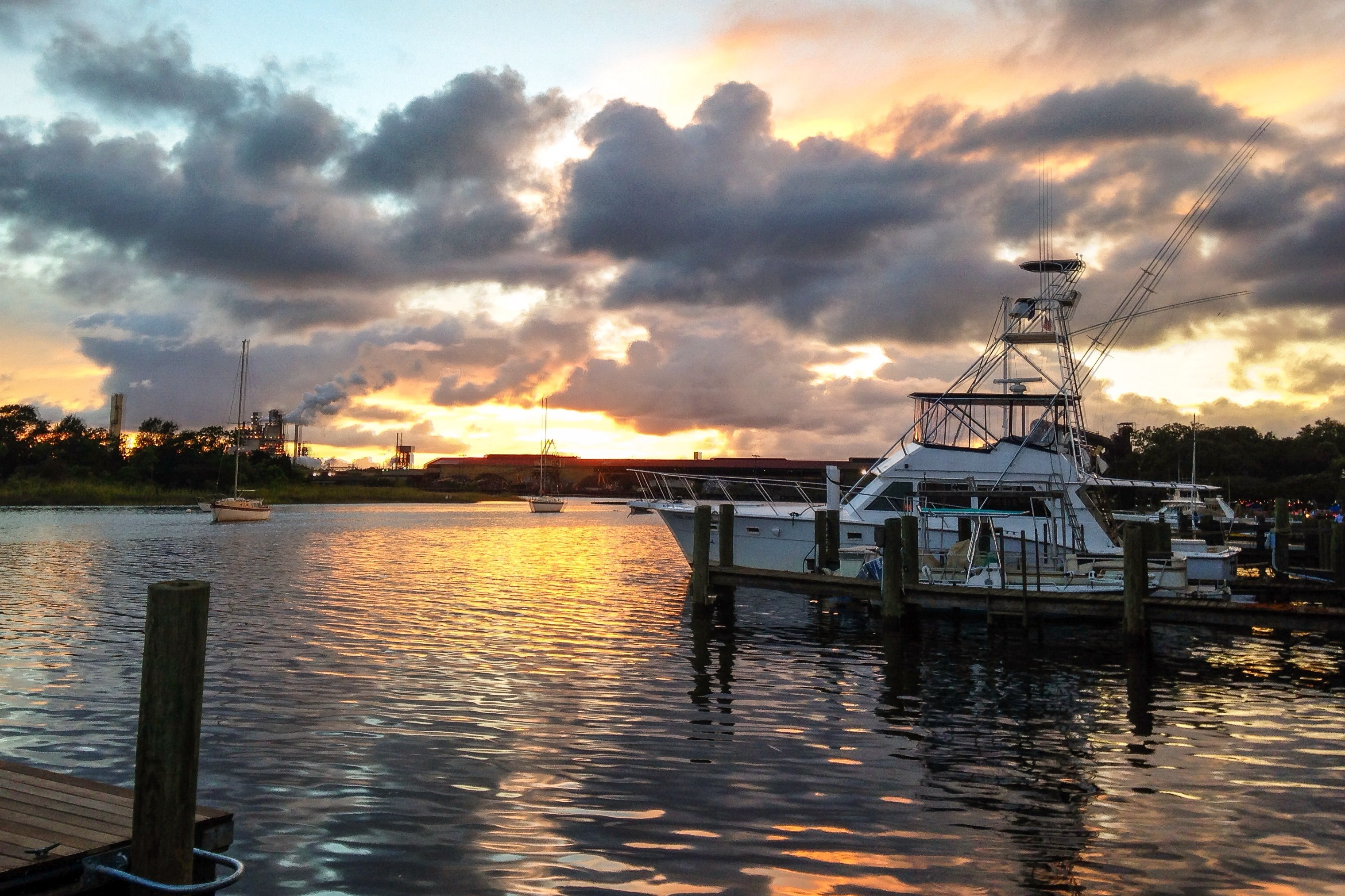
iPhone - Georgetown Waterfront Sunset HDR
Pawleys Island perfect
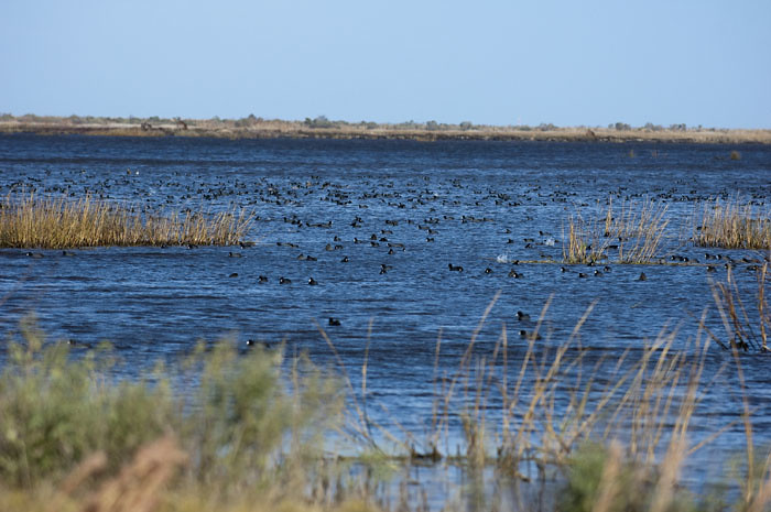
Coot Corner
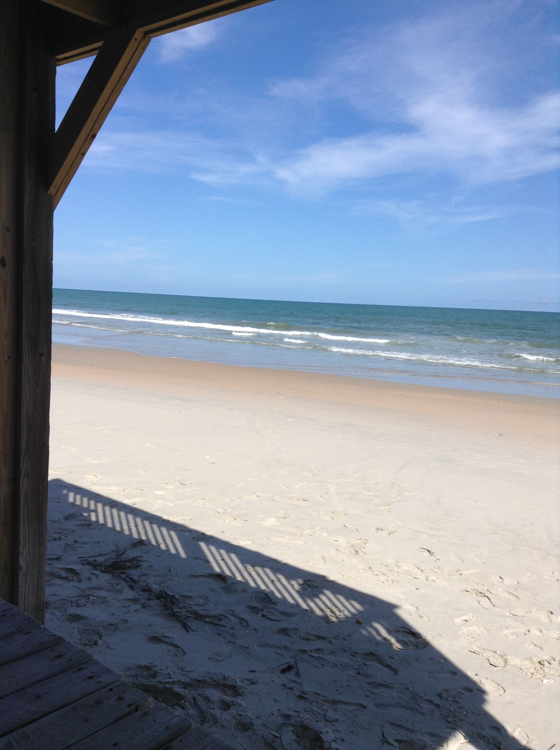
Pawley's Island
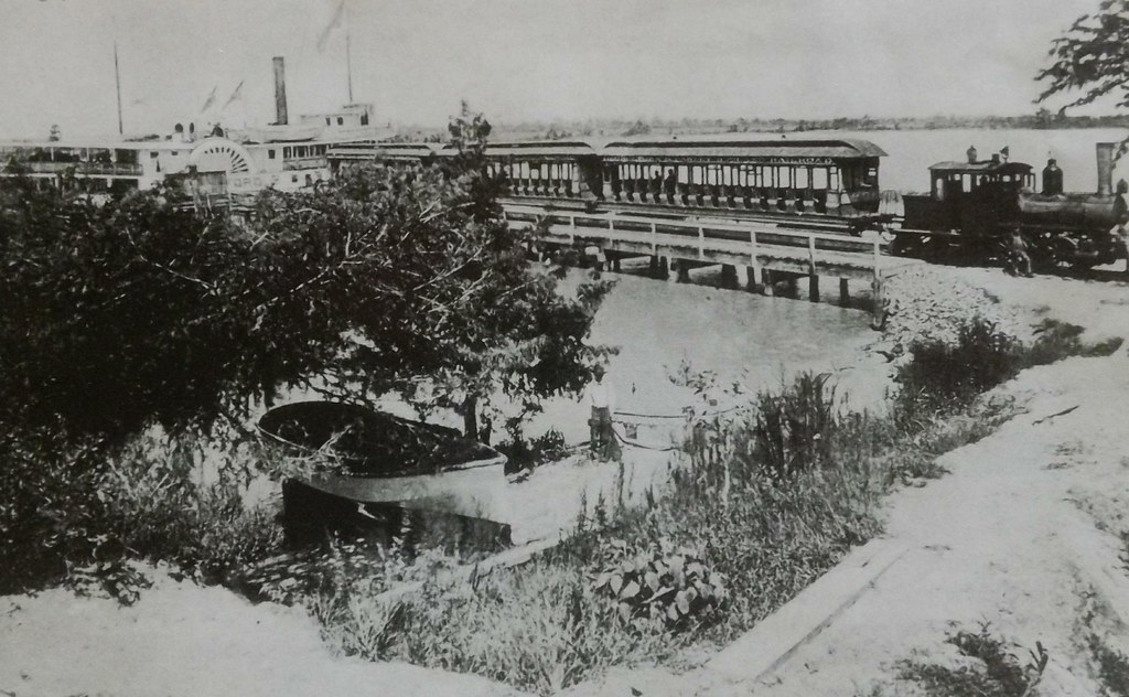
Georgetown and Pawleys Island RR
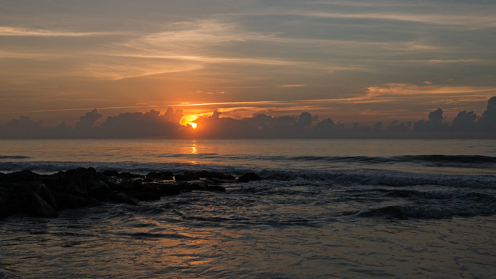
Pawleys Sunrise

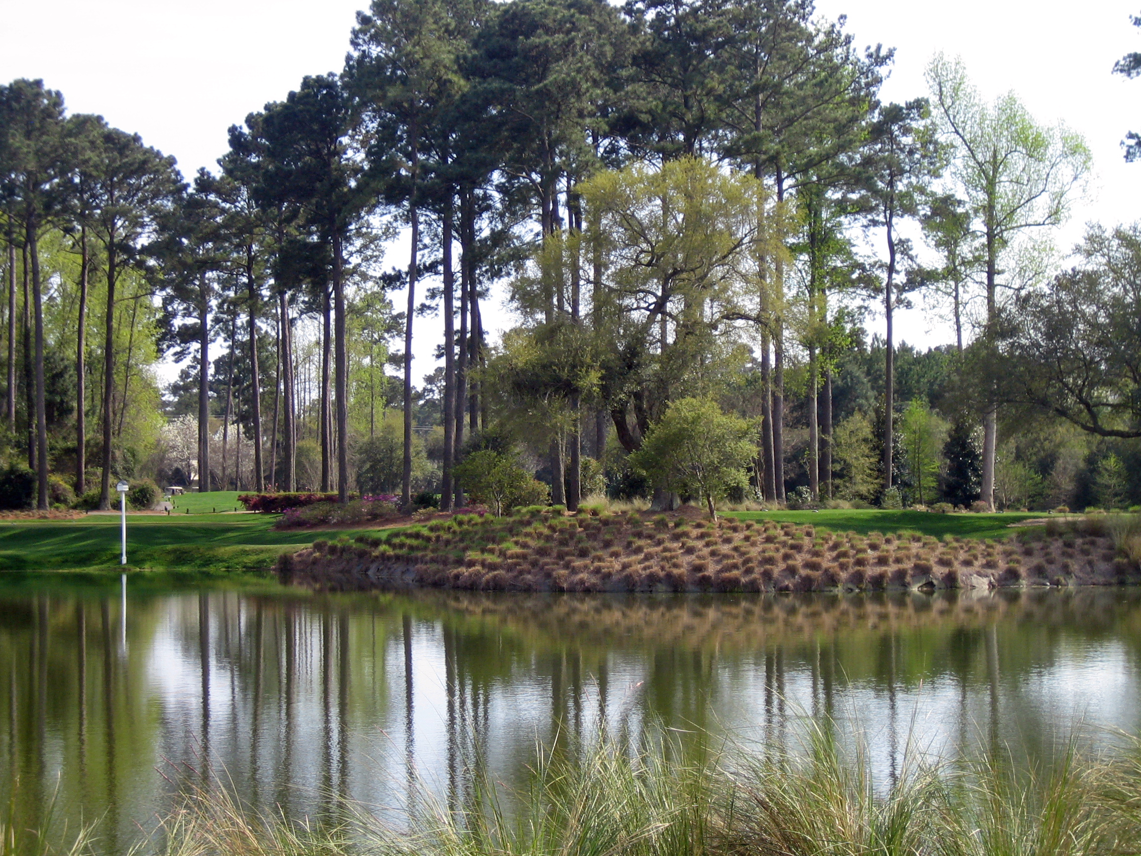
Pawley's Plantation
Pawleys Island Marsh, ca. 1980

Dawn at the Jetty - 2
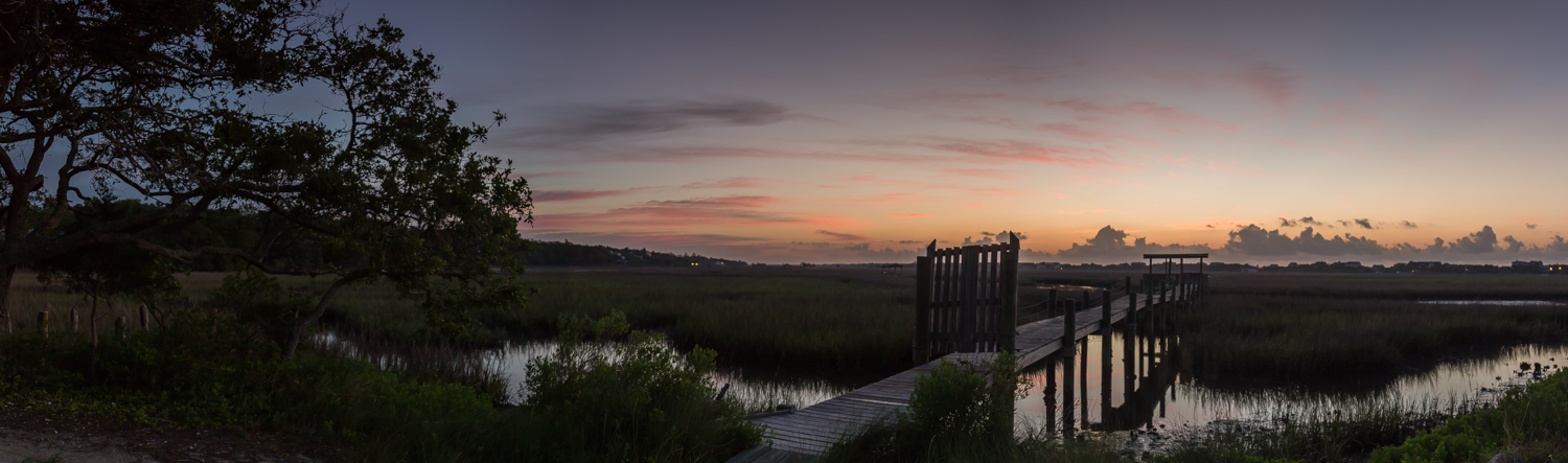
marsh pano
2014-08-31 15.37.36
2007 Myrtle Beach 033
Topographic Map of Front St, Georgetown, SC, USA
Find elevation by address:

Places near Front St, Georgetown, SC, USA:
19 Queen St
700 Front St
500 Front St
724 Front St
422 Front St
617 Highmarket St
732 Front St
732 Prince St
210 Broad St
800 Front St
411 Prince St
214 Cannon St
723 Highmarket St
401 Prince St
419 Queen St
210 E Bay St
123 Wood St
123 Cleland St
Front Street
309 Park St
Recent Searches:
- Elevation of Fern Rd, Whitmore, CA, USA
- Elevation of 62 Abbey St, Marshfield, MA, USA
- Elevation of Fernwood, Bradenton, FL, USA
- Elevation of Felindre, Swansea SA5 7LU, UK
- Elevation of Leyte Industrial Development Estate, Isabel, Leyte, Philippines
- Elevation of W Granada St, Tampa, FL, USA
- Elevation of Pykes Down, Ivybridge PL21 0BY, UK
- Elevation of Jalan Senandin, Lutong, Miri, Sarawak, Malaysia
- Elevation of Bilohirs'k
- Elevation of 30 Oak Lawn Dr, Barkhamsted, CT, USA