Elevation of Friendsville, MD, USA
Location: United States > Maryland > Garrett County > 2, Friendsville >
Longitude: -79.405316
Latitude: 39.6636933
Elevation: 457m / 1499feet
Barometric Pressure: 96KPa
Elevation Map:
Satellite Map:
Related Photos:
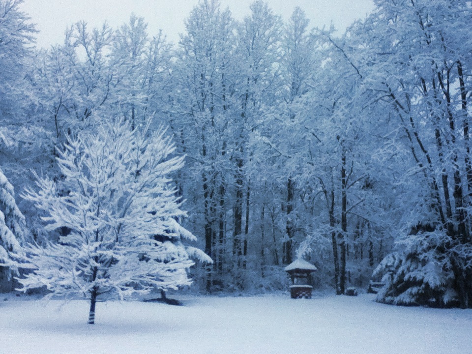
Front Yard View

Snowy Owl
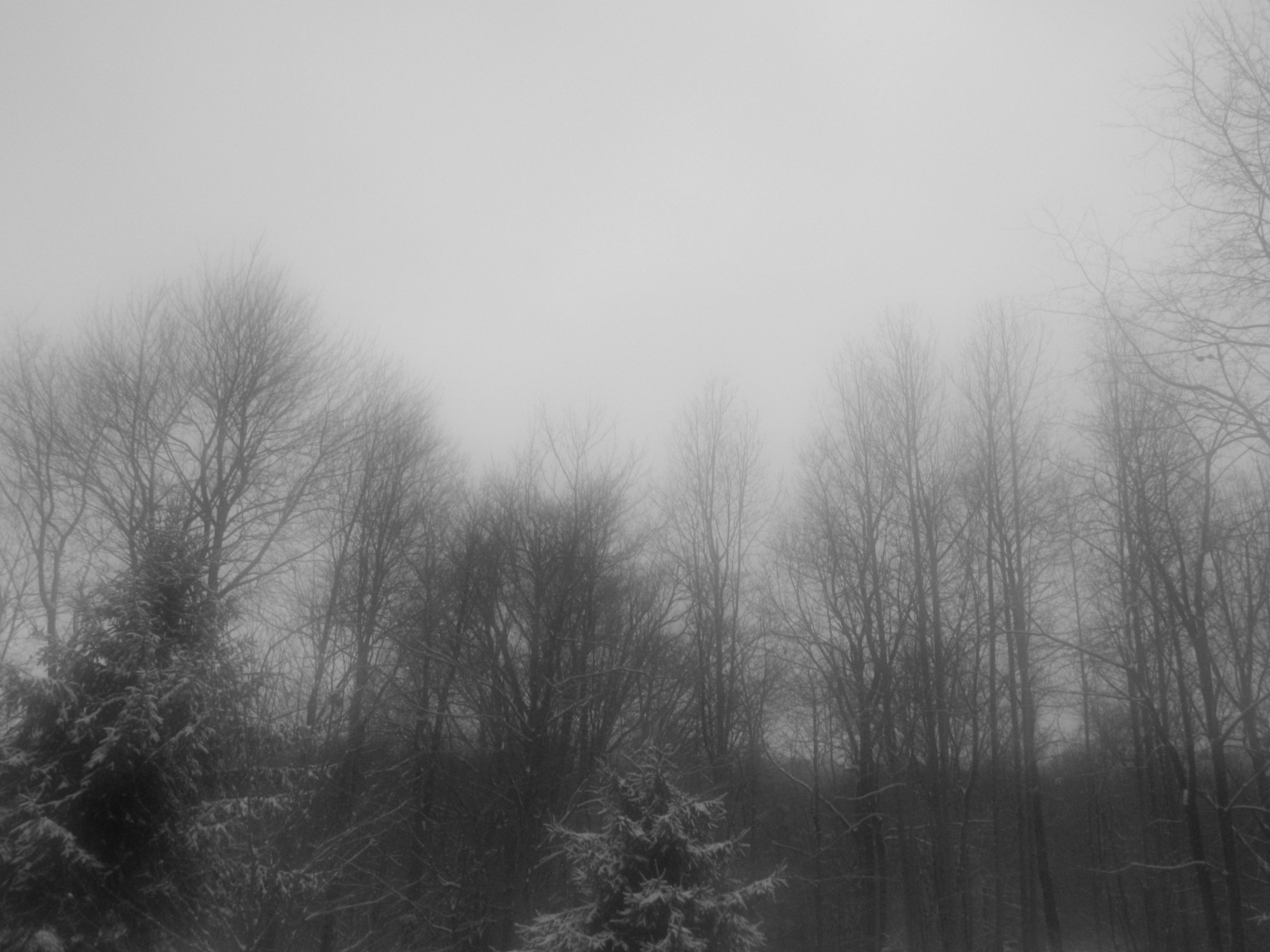
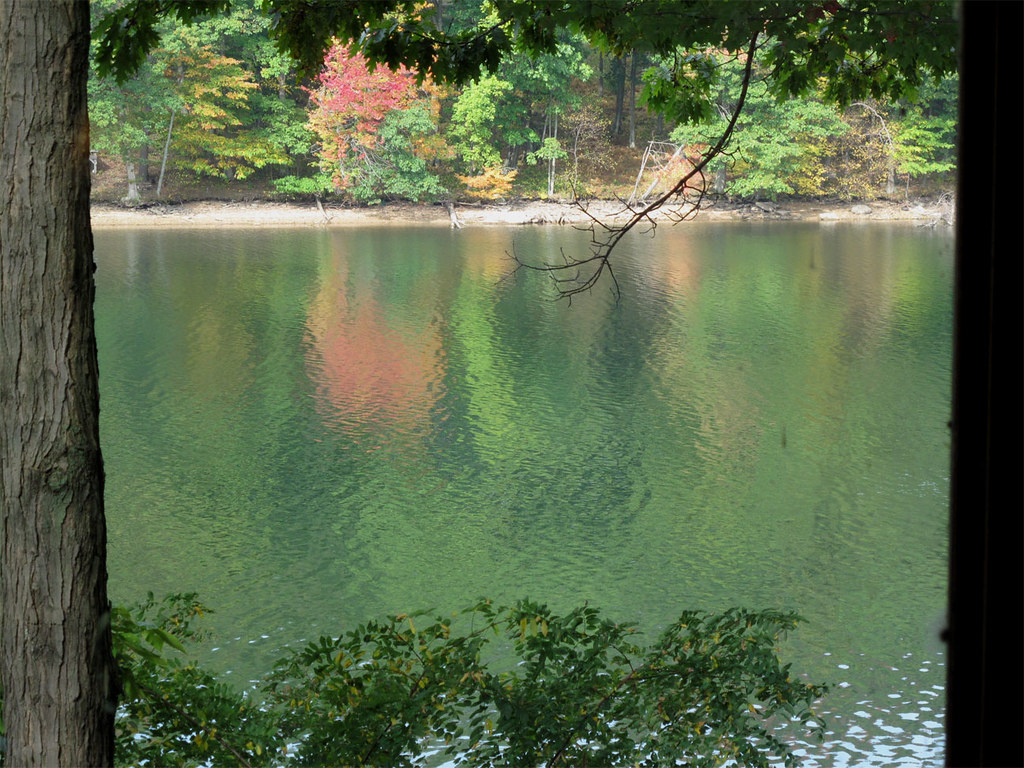
A View Through a Foggy Window
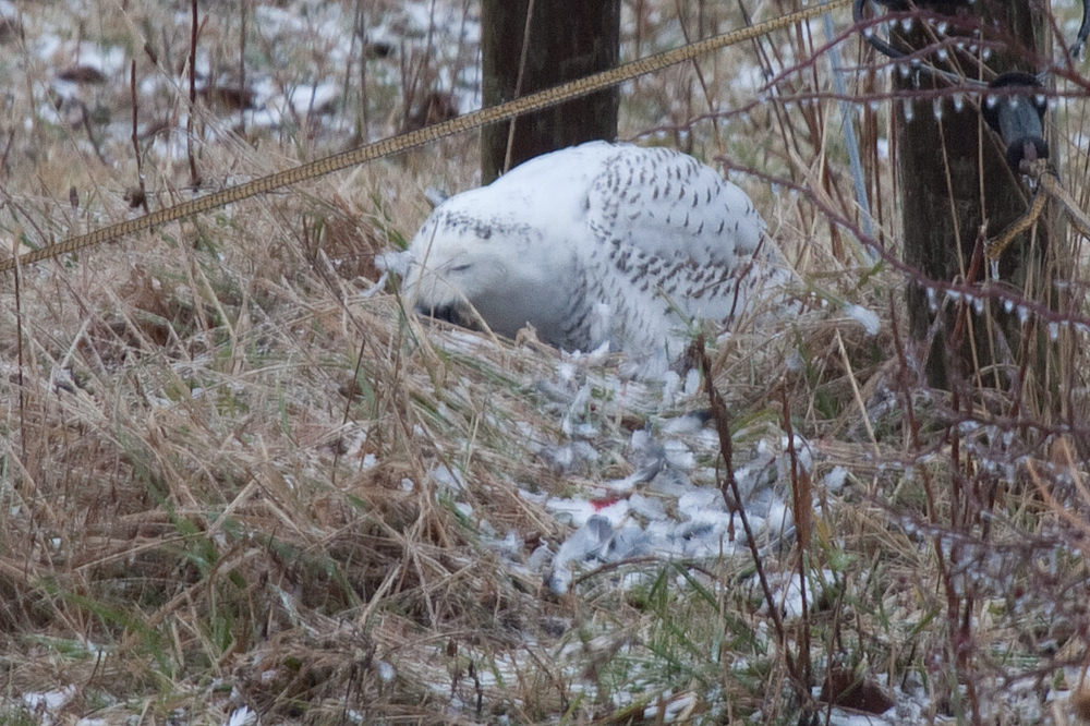
Snowy Owl feeding
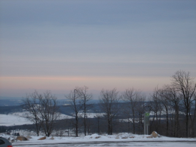
View from Wisp Mountain, WV
Deep Creek Lake
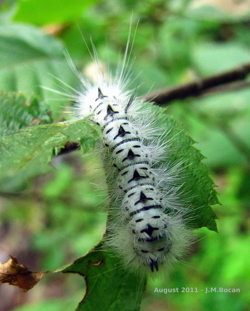
"Totem Caterpilliar"
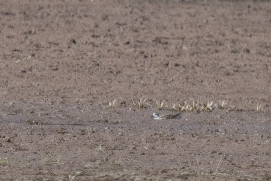
Red-necked Phalarope
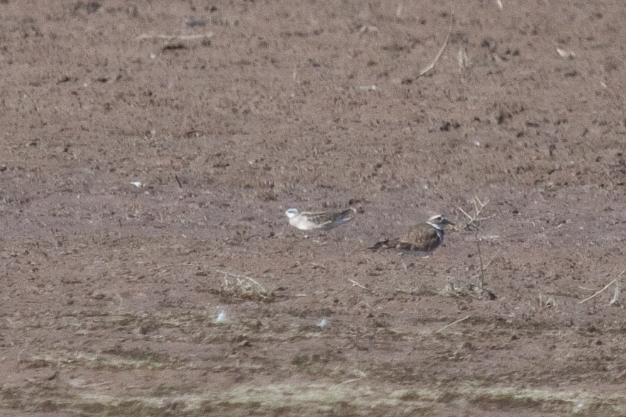
Red-necked Phalarope
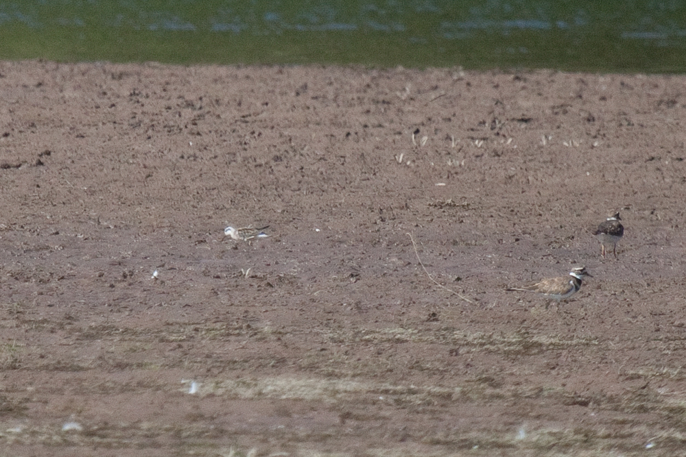
Red-necked Phalarope

Grand View Tavern, Maryland
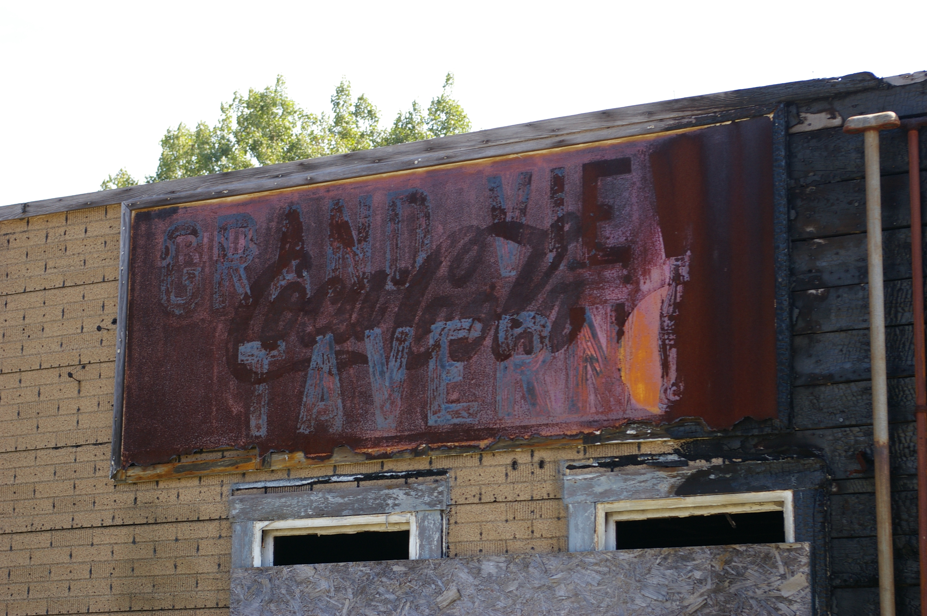
Grand View Tavern, Maryland
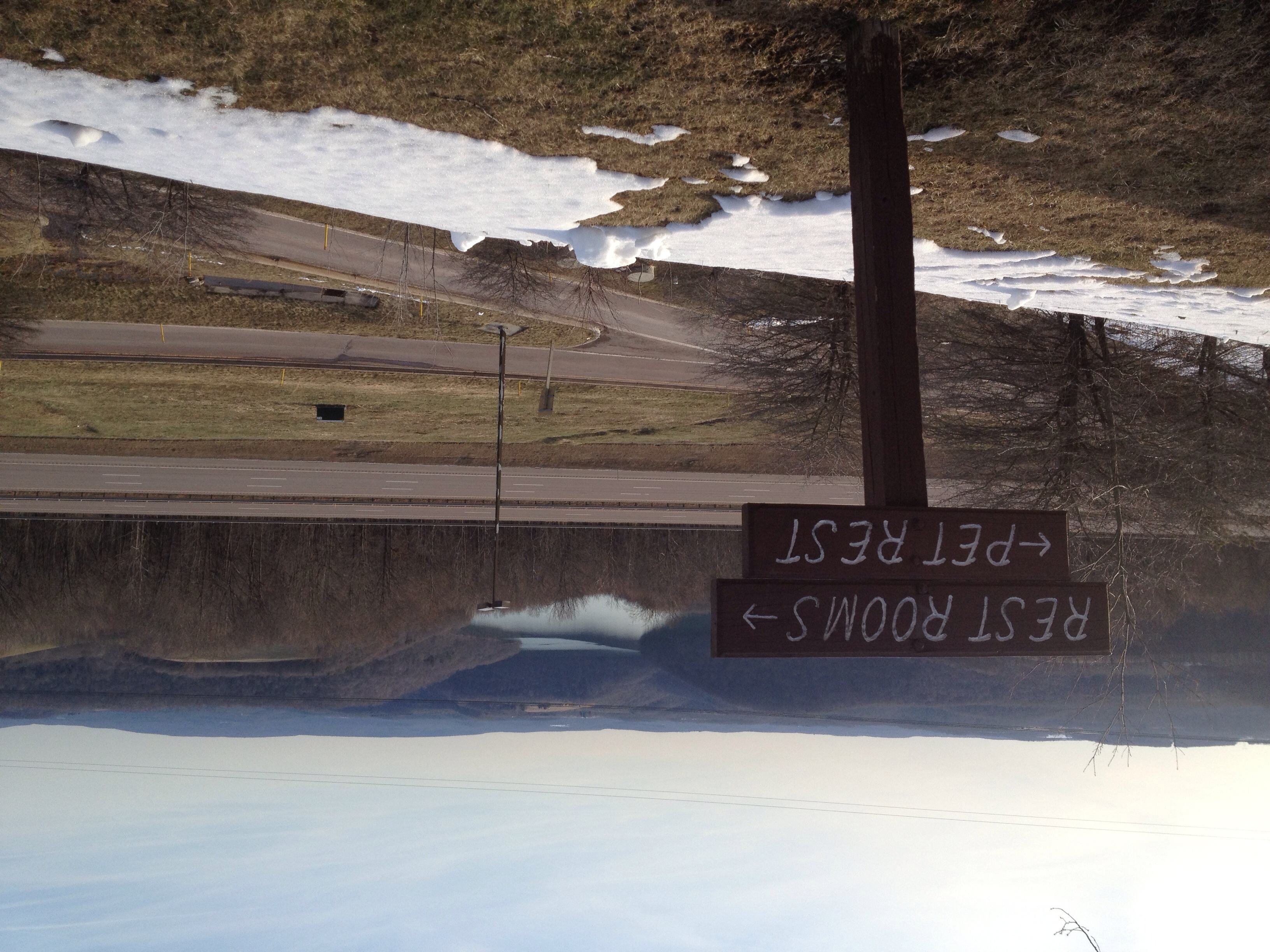
View from the Youghiogheny Overlook Welcome Center in Maryland
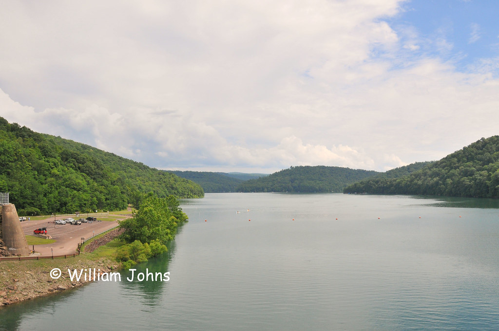
Youghiogheny River Lake

...and disapproving.
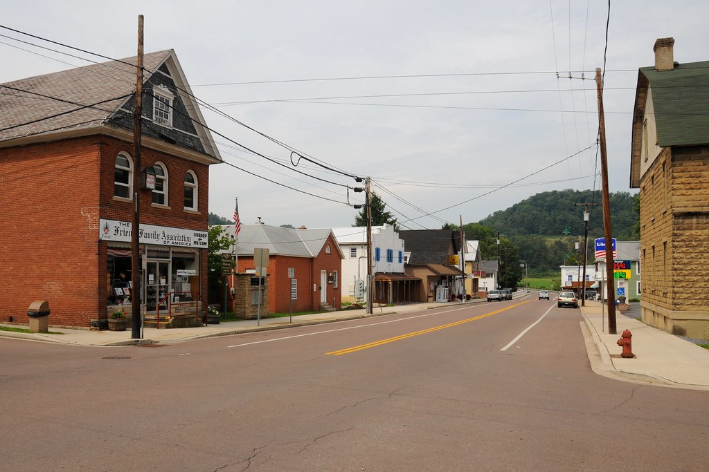
View of Maple Street from 1st Avenue
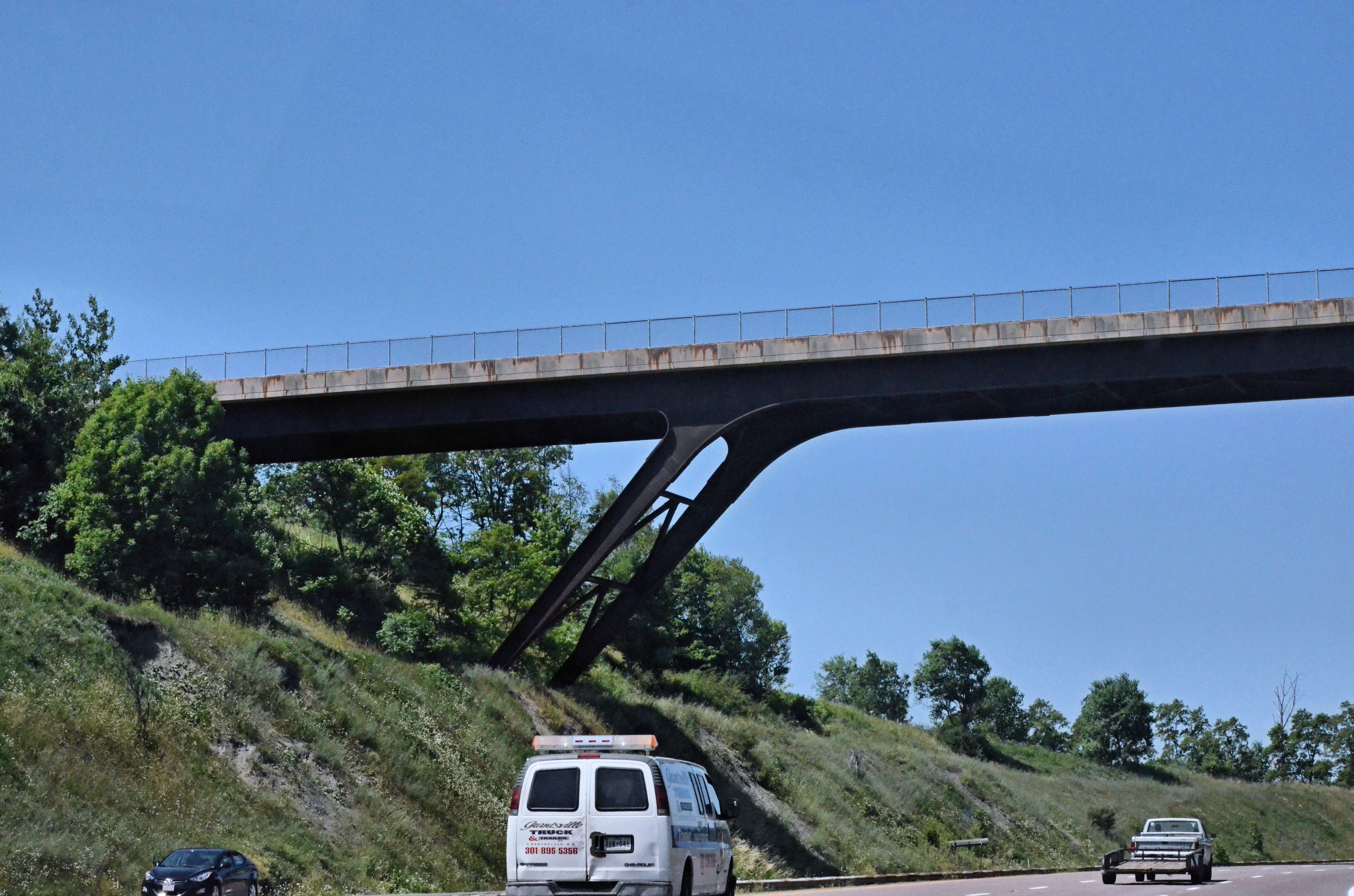
2012-06-27 (23) Maryland I-68
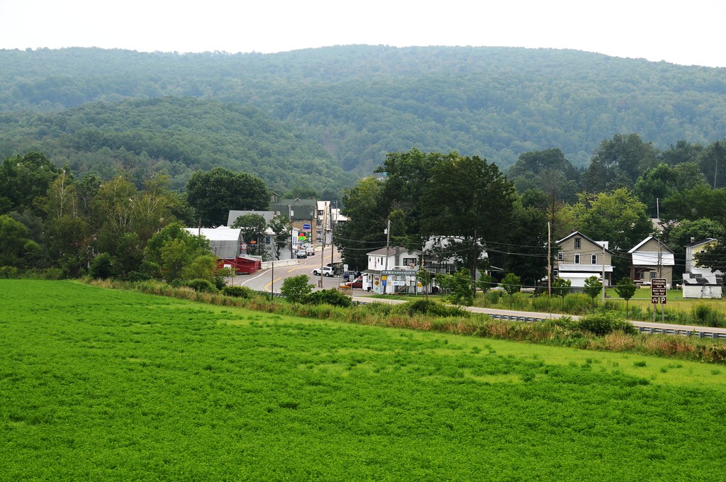
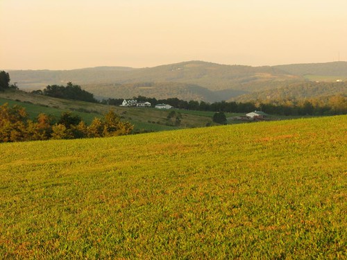
View from just outside of town

2012-06-27 (26) West Virginia I-68
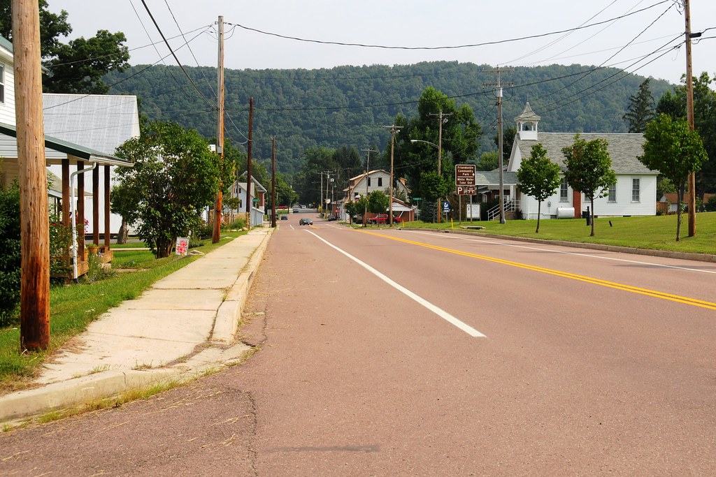
Viewing 1st Avenue from Oak Street

2012-06-27 (22) Maryland I-68

Route 219 leading in and out of Deep Creek, Maryland Recreational area in the final moments of light. #awesomeview #landscapephotography #landscape #nature #lake #deepcreeklake #sunset #longexposure #bluehour #fog #nikon #d800
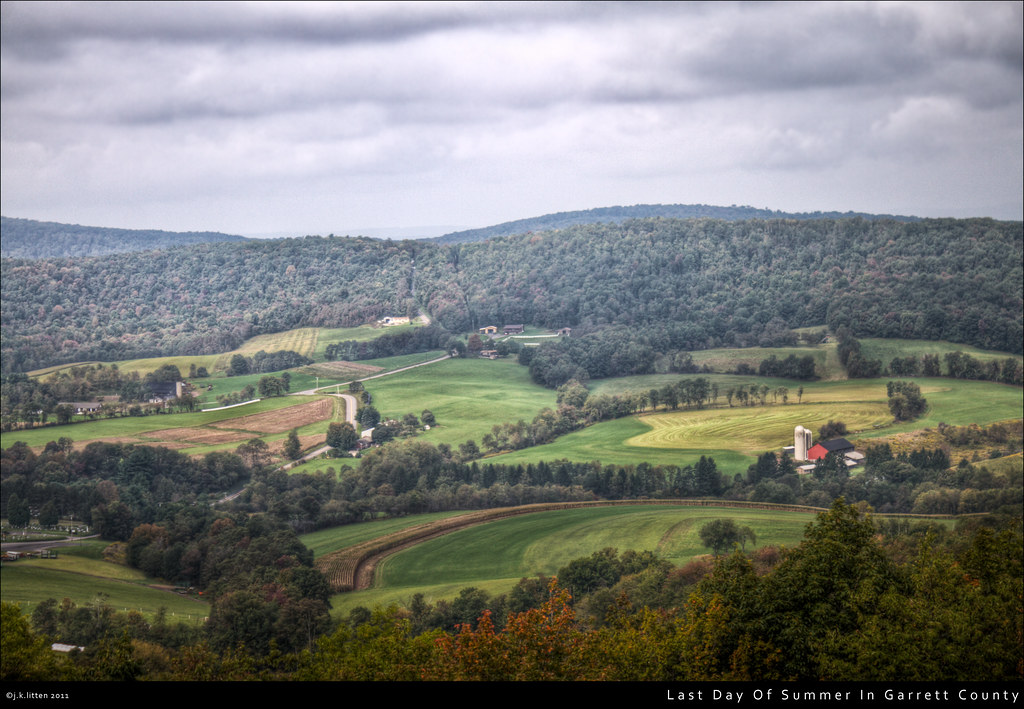
Last Day Of Summer In Garrett County

Long exposure at blue hour as the fog comes rolling in over Deep Creek Lake. #awesomeview #landscapephotography #landscape #nature #longexposure #lake #deepcreeklake #bluehour #nature #sunset #explore

Bear Creek -- Garrett County, Maryland
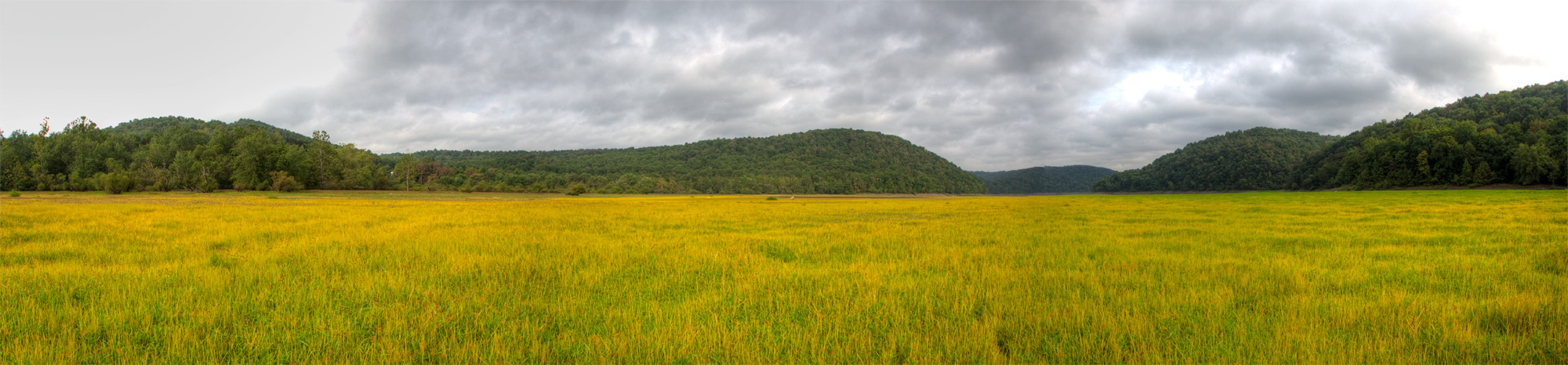
Youghiougheny Reservoir

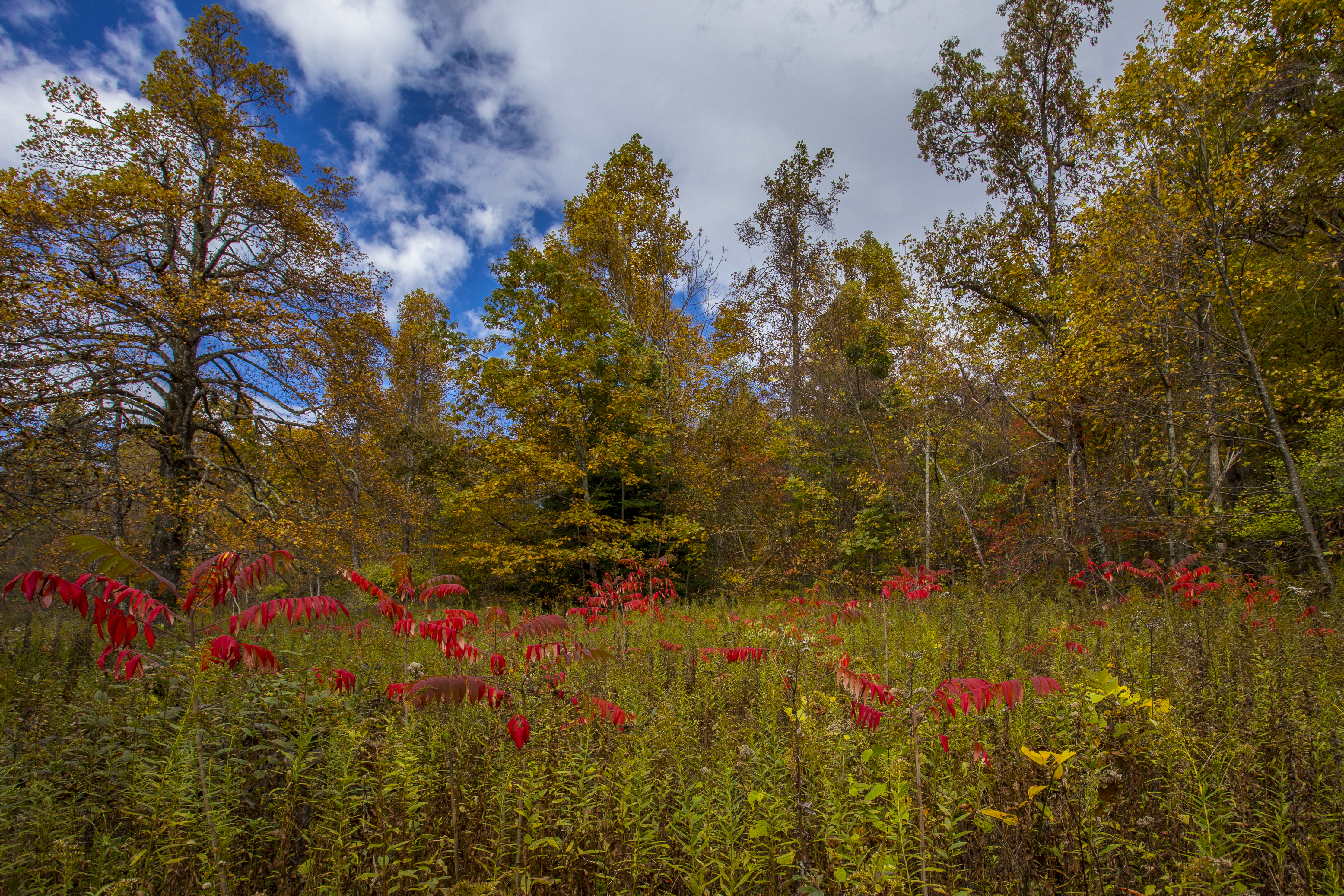
Forgot how beautiful fall was.

House on the hill

New Years 2009

Talk about an explosive sunset. I was jumping out of my boots, totally unexpected but greatly appreciated. #deepcreeklake #landscapephotography #awesomeview #landscape #nature #sunset #amazinglight #amazing #longexposure #lake #getoutside #nikon #d800
MD sunset

Youghiogheny River Lake PA - 2013-09-09 (20)
Morning on the lake
CJoy-8860

Solar System Seeds
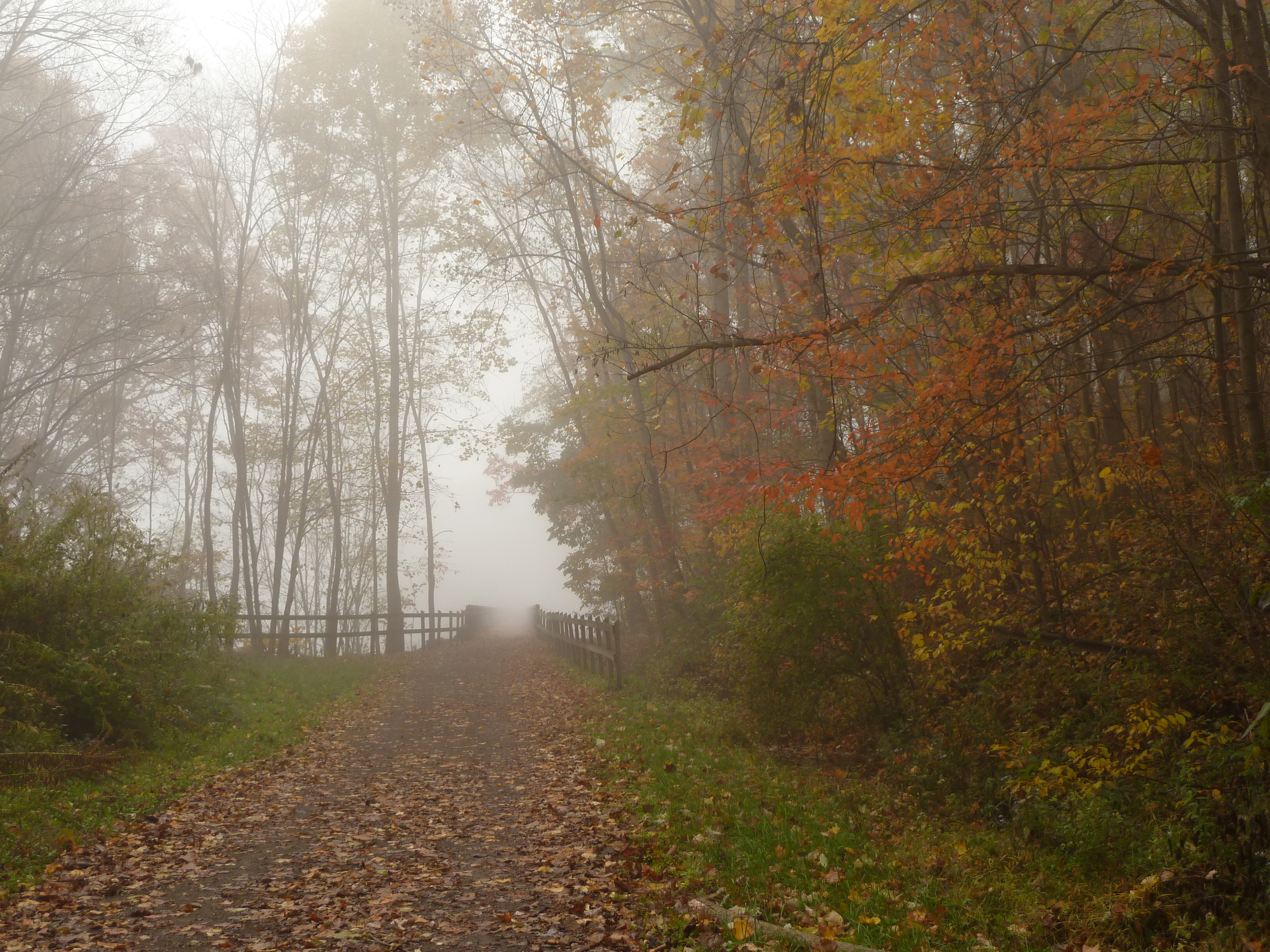
Fog shrouding the trail at Confluence, PA

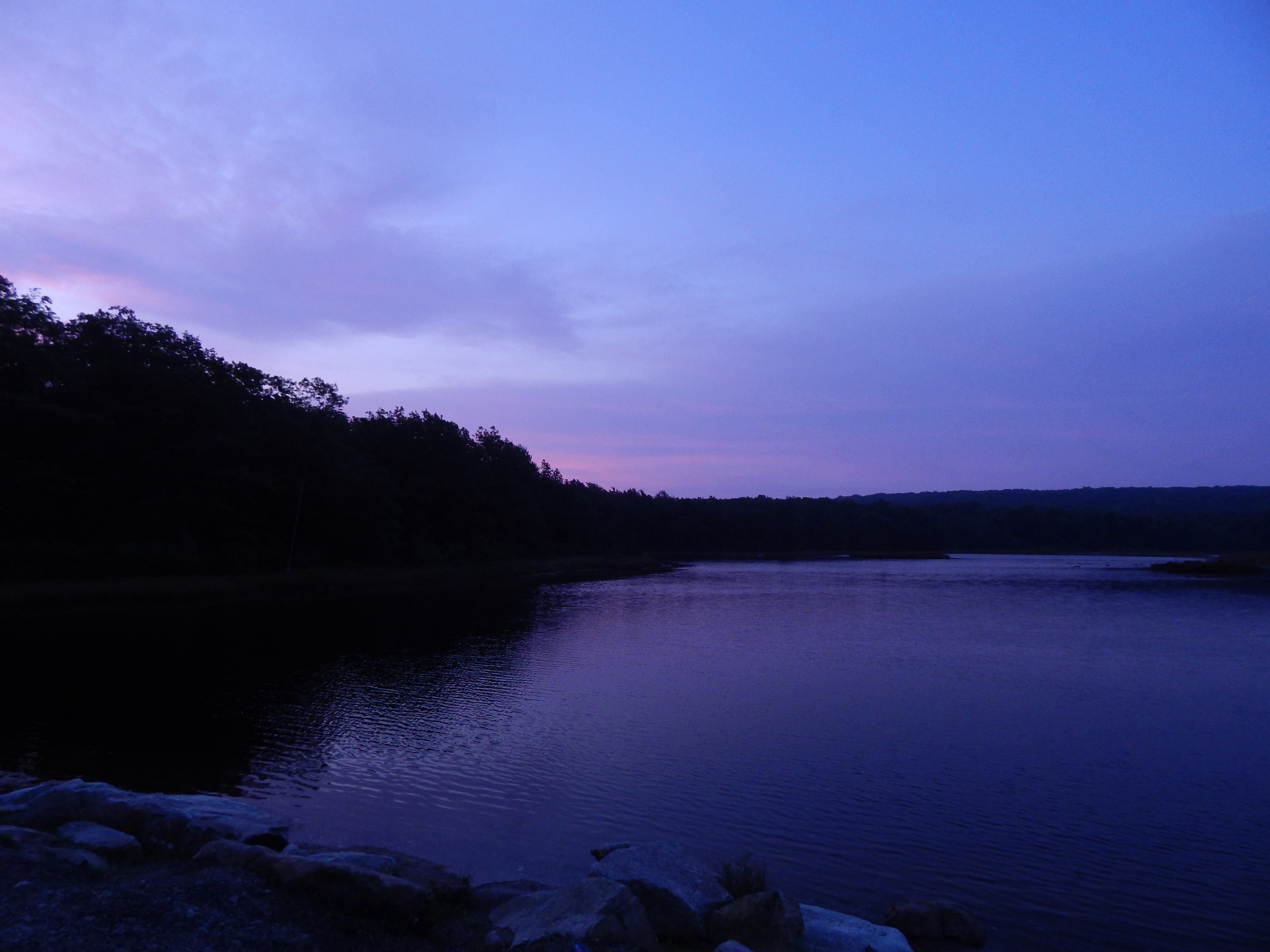
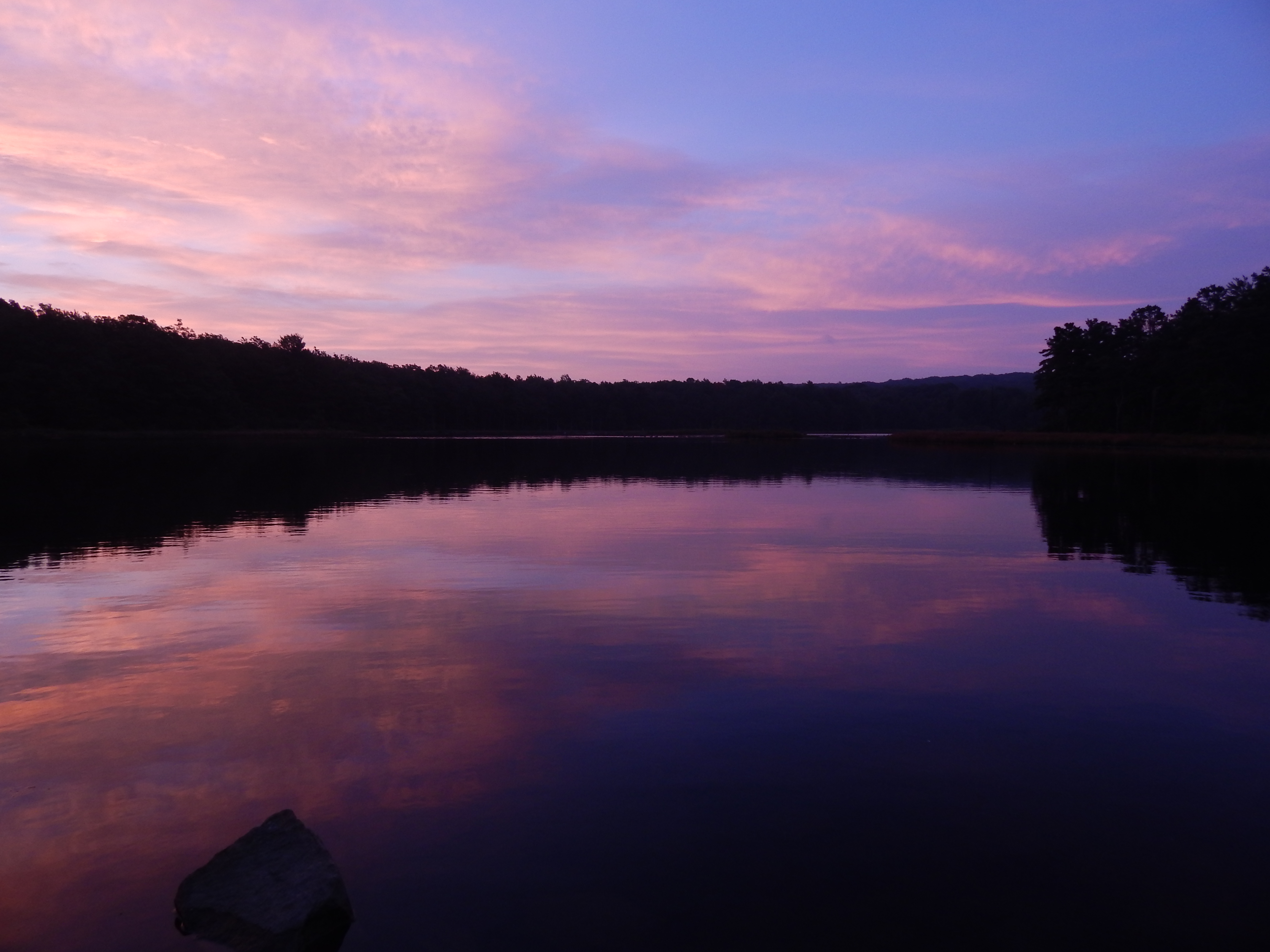
Deep Creek Twilight
Mirrored Morn

Mountain & Clouds
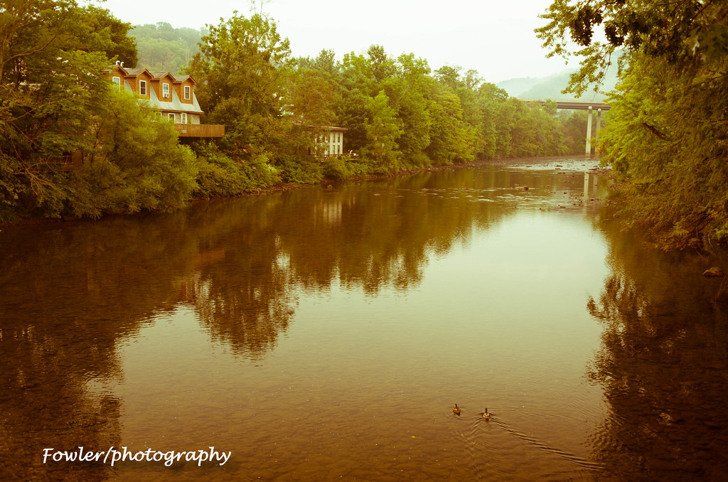
youghiogheny river
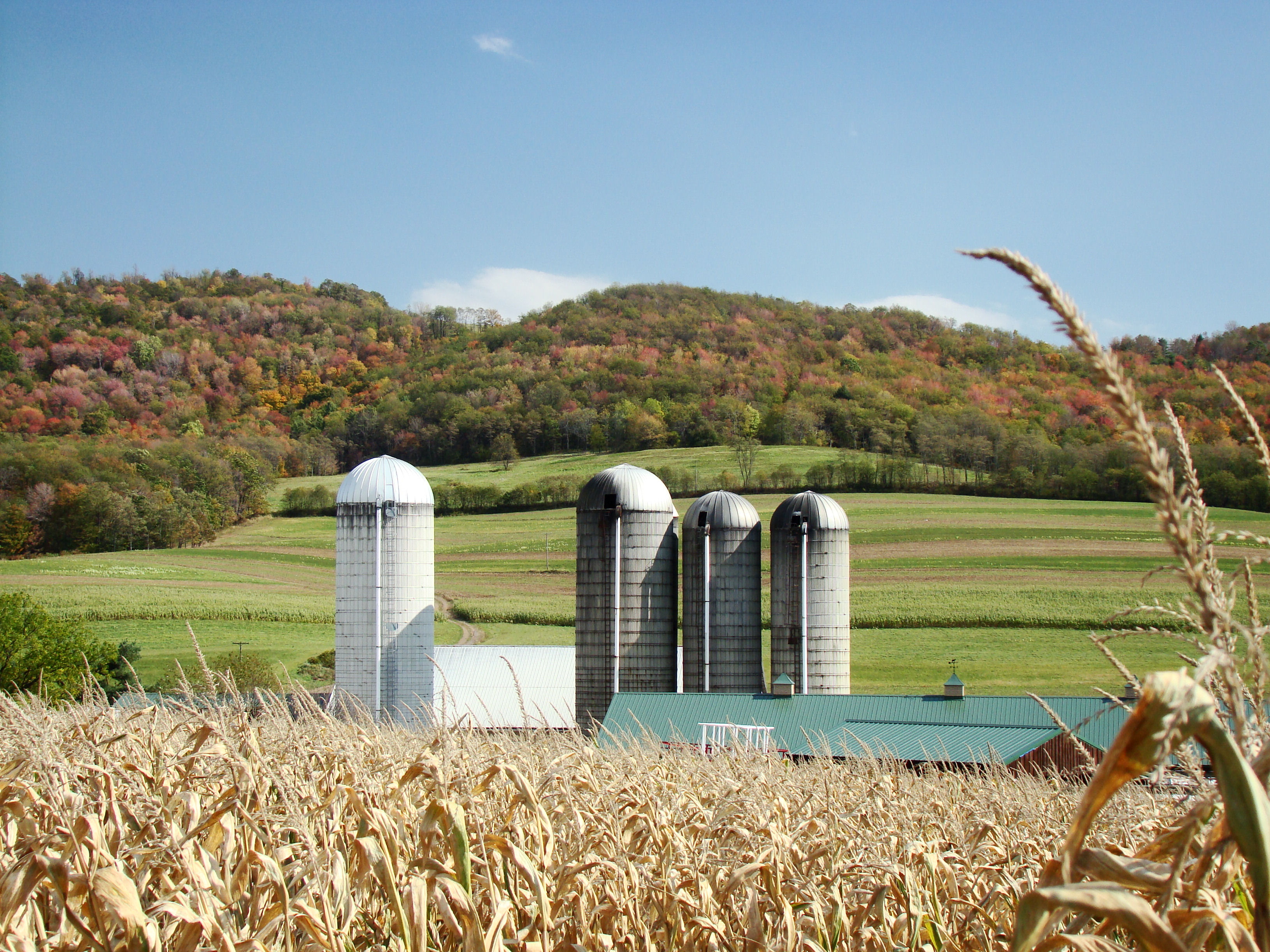
Farm at Corn Maze
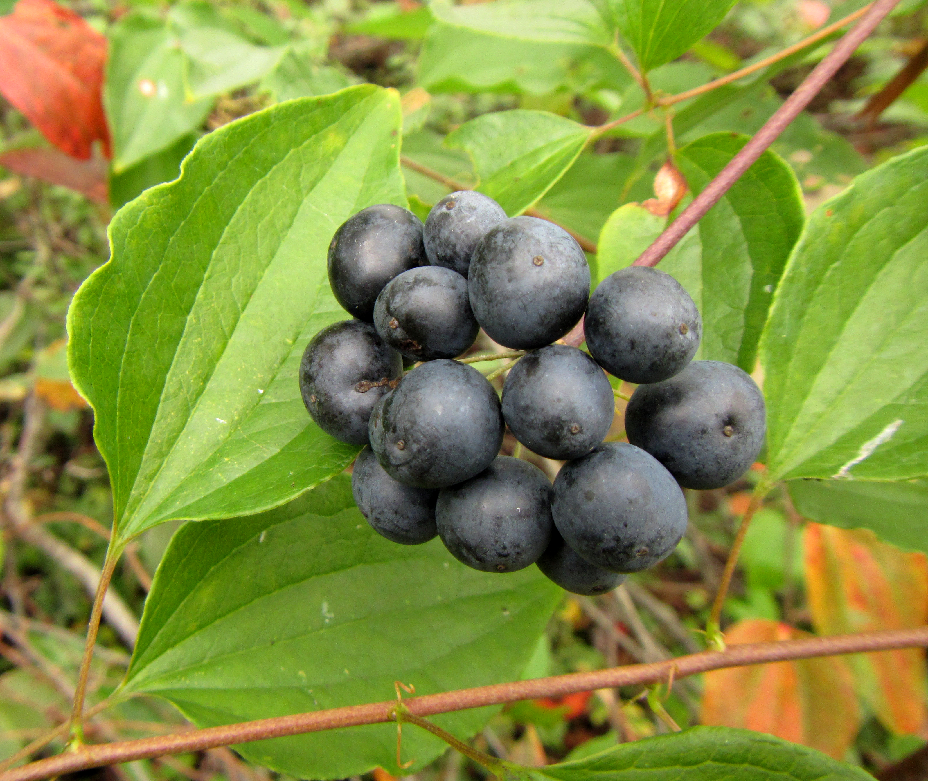
Smooth Carrionflower
Topographic Map of Friendsville, MD, USA
Find elevation by address:

Places in Friendsville, MD, USA:
Places near Friendsville, MD, USA:
Bear Creek Court
2, Friendsville
Asher Glade
3761 Friendsville Addison Rd
335 Stiff Rd
4838 Bear Creek Rd
18 Grove Rd, Friendsville, MD, USA
Accident
Main Street
5, Accident
44 Bobs Ln
6, Sang Run
Negro Mountain Road
Mchenry
254 Klotz Farm Dr
2294 National Pike
Bowman Hill Road
761 Limpopo Ln
Garrett County
Keysers Ridge
Recent Searches:
- Elevation of Congressional Dr, Stevensville, MD, USA
- Elevation of Bellview Rd, McLean, VA, USA
- Elevation of Stage Island Rd, Chatham, MA, USA
- Elevation of Shibuya Scramble Crossing, 21 Udagawacho, Shibuya City, Tokyo -, Japan
- Elevation of Jadagoniai, Kaunas District Municipality, Lithuania
- Elevation of Pagonija rock, Kranto 7-oji g. 8"N, Kaunas, Lithuania
- Elevation of Co Rd 87, Jamestown, CO, USA
- Elevation of Tenjo, Cundinamarca, Colombia
- Elevation of Côte-des-Neiges, Montreal, QC H4A 3J6, Canada
- Elevation of Bobcat Dr, Helena, MT, USA