Elevation map of Fremont County, WY, USA
Location: United States > Wyoming >
Longitude: -108.61756
Latitude: 43.0119968
Elevation: 1618m / 5308feet
Barometric Pressure: 83KPa
Elevation Map:
Satellite Map:
Related Photos:
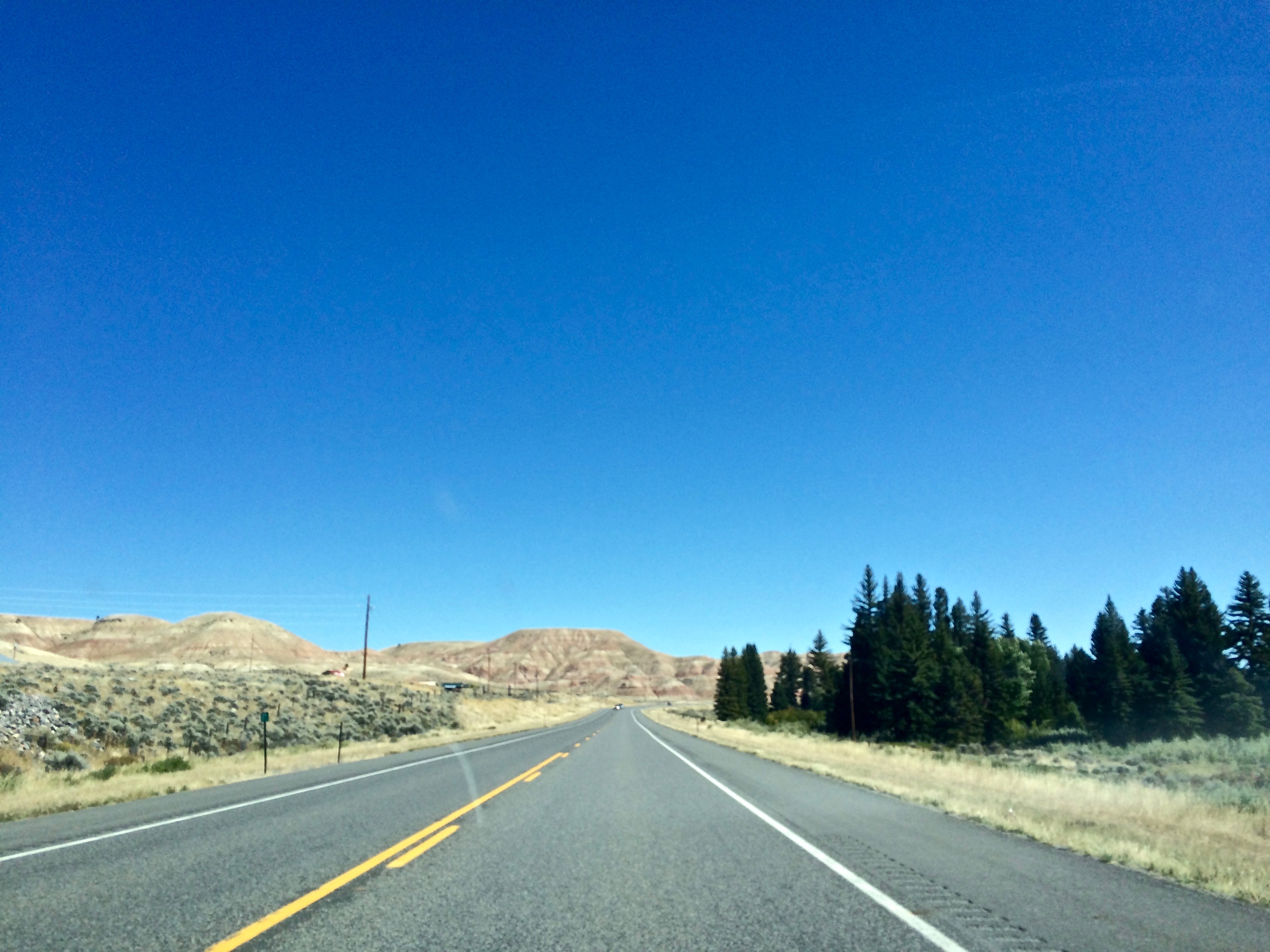
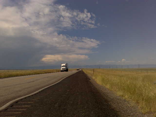
USA September 2015
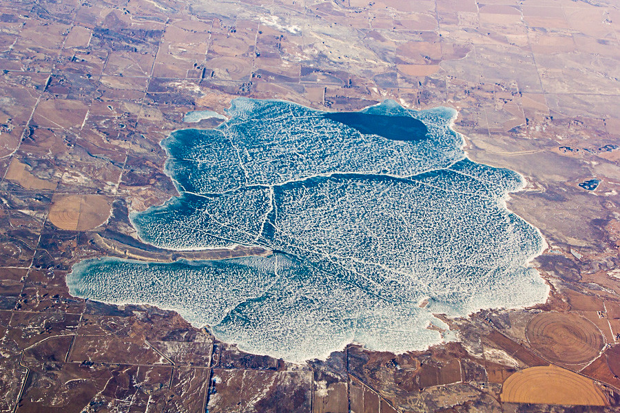
Aerial View of Ocean Lake, Wyoming
A point of view

Black Folding Truck Bed Cover on Ford Super Duty Platinum Pickup Truck
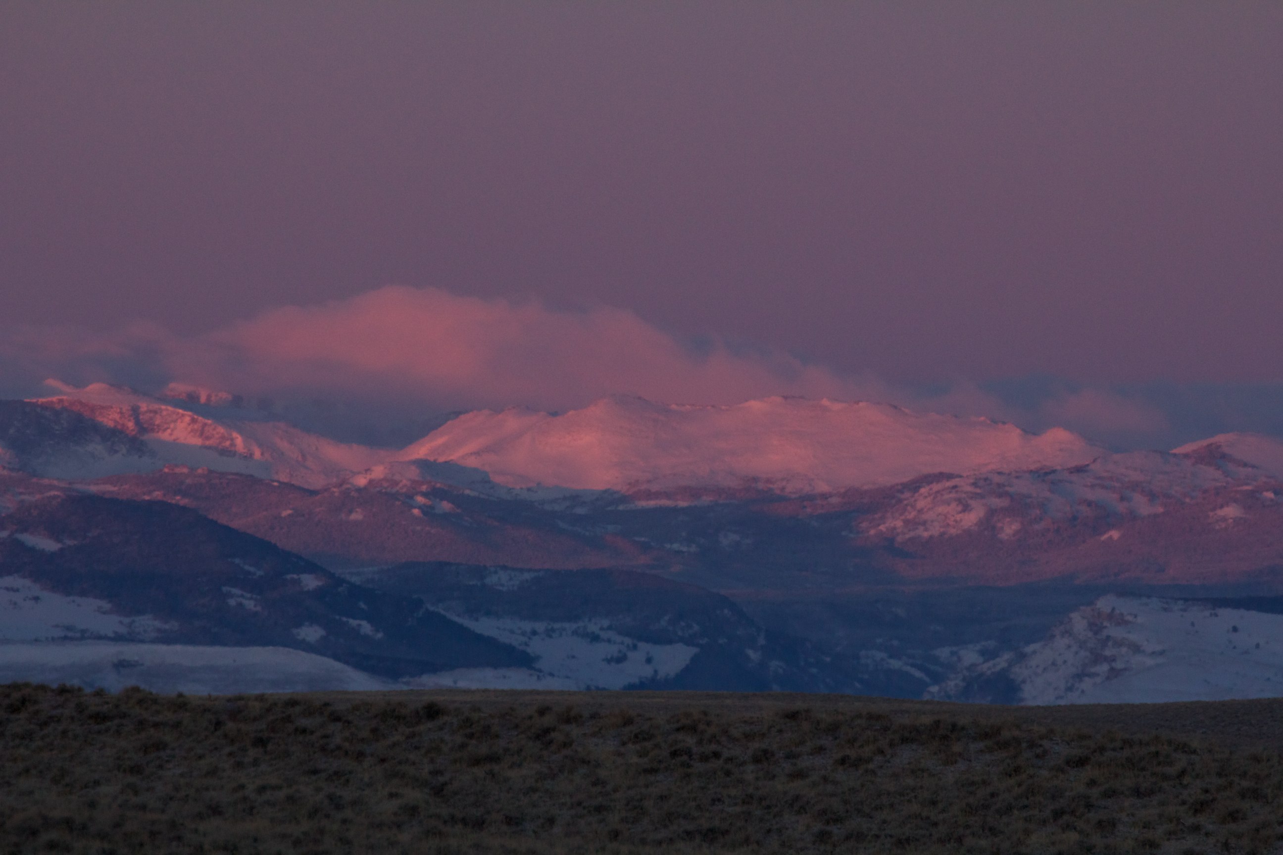
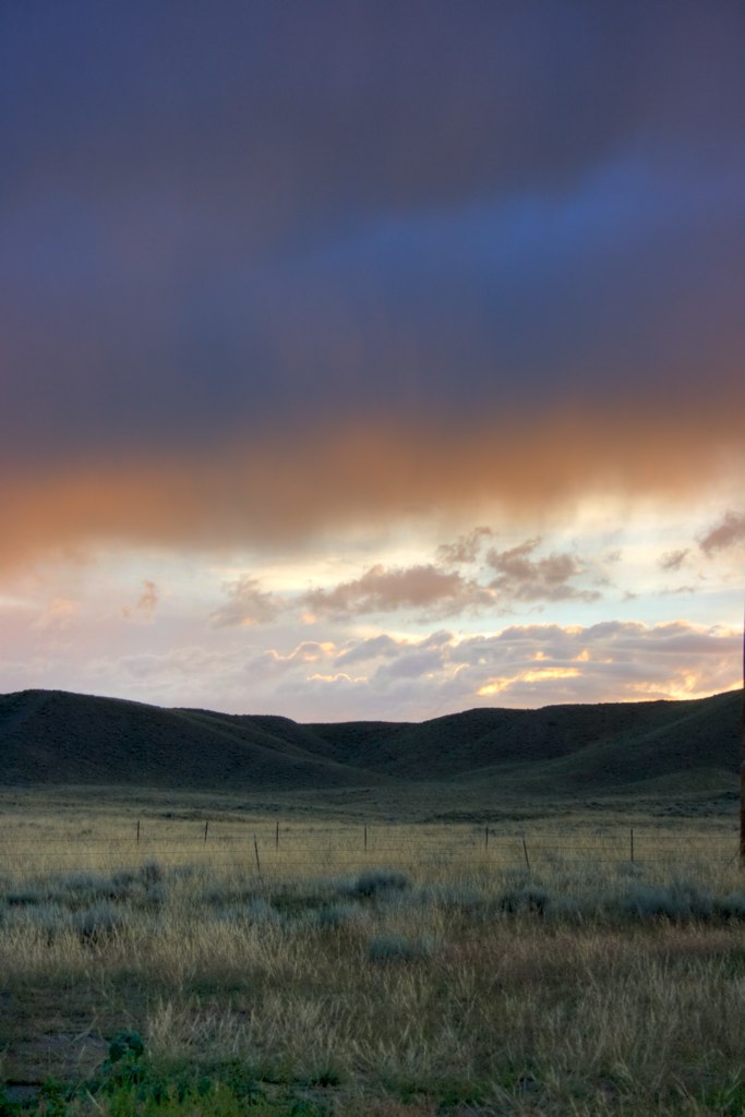
Sunrise, Wind River Range

View from Ninemile Hill
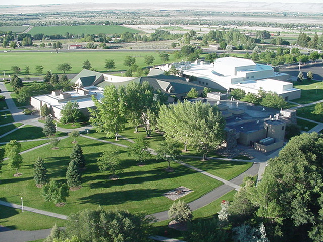
Central Wyoming College from a balloon
Sept 26 2011 - Life prospers where it can
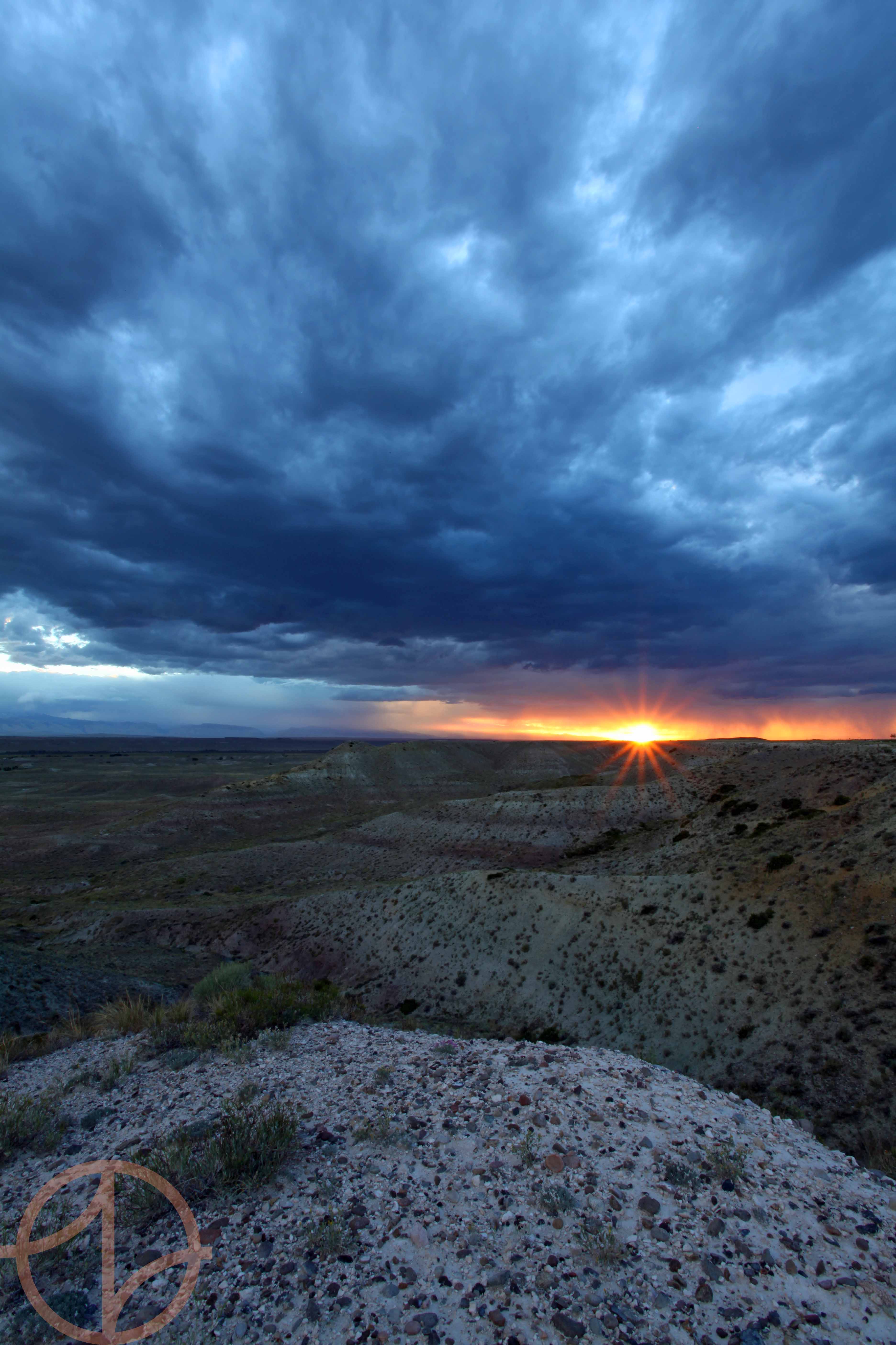
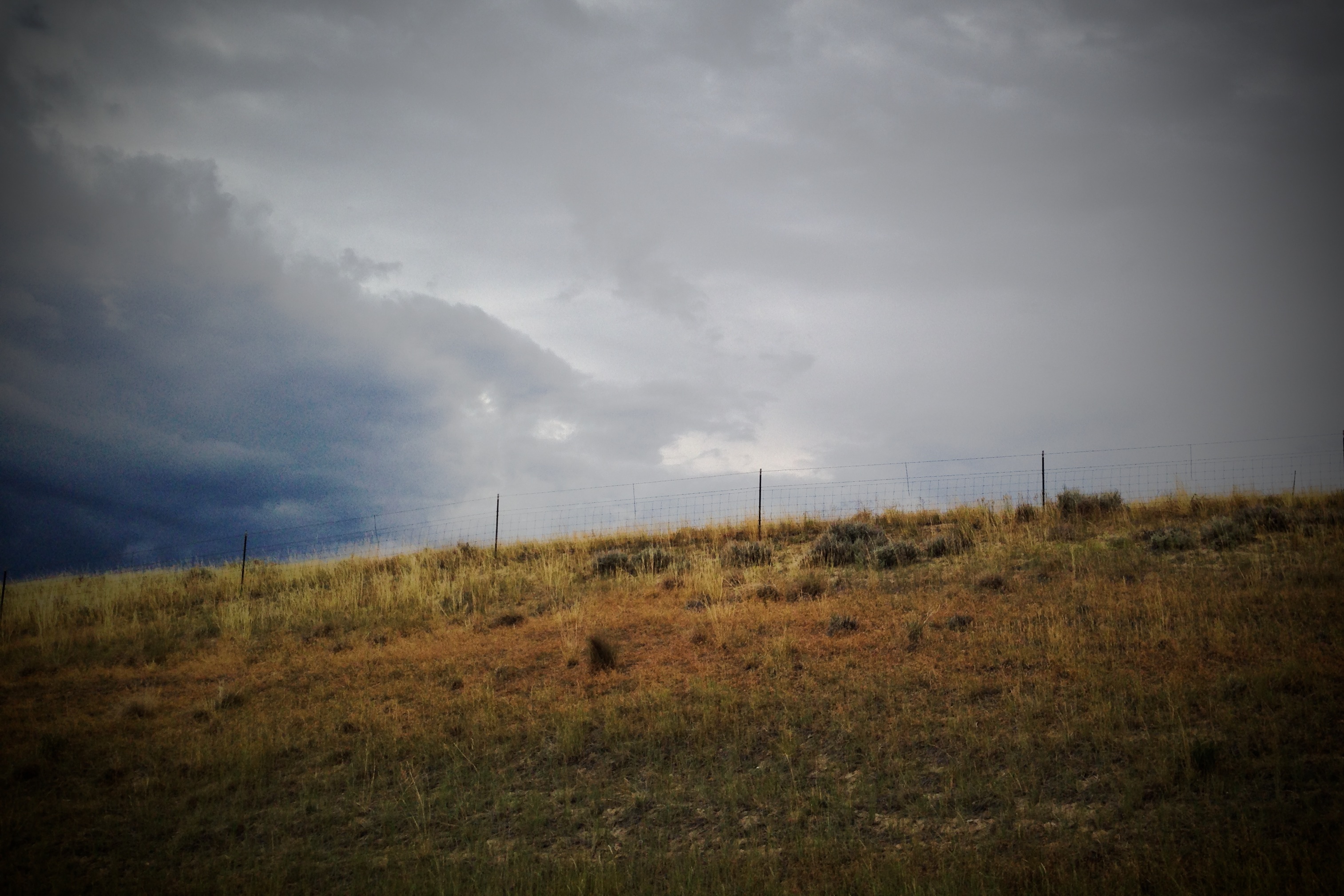
July storm over the Winds
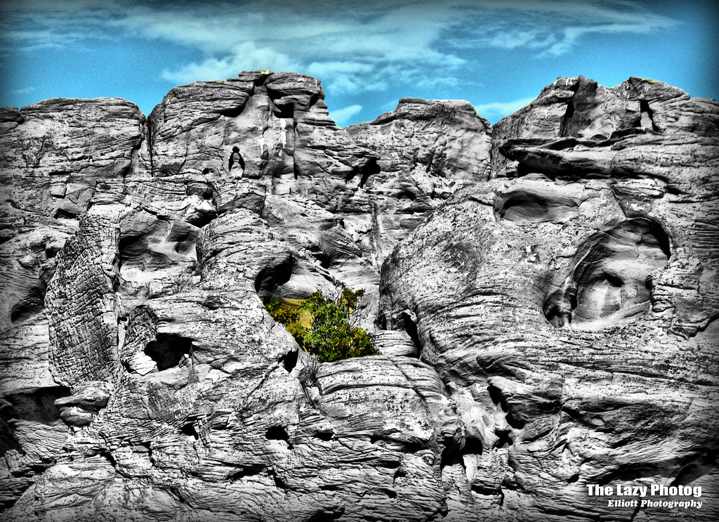
Hill Range @ Norine's
Blue Steel took a picture!
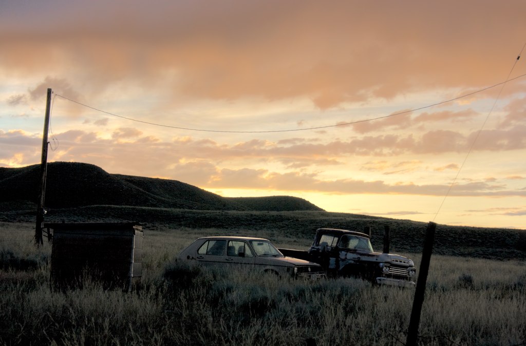
Abandoned Vehicles @ Norine's #2.tif
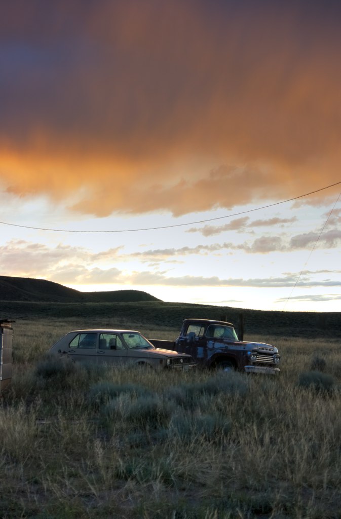
Abandoned Vehicles @ Norine's

Assembling the Track

Male Greater Sage-grouse
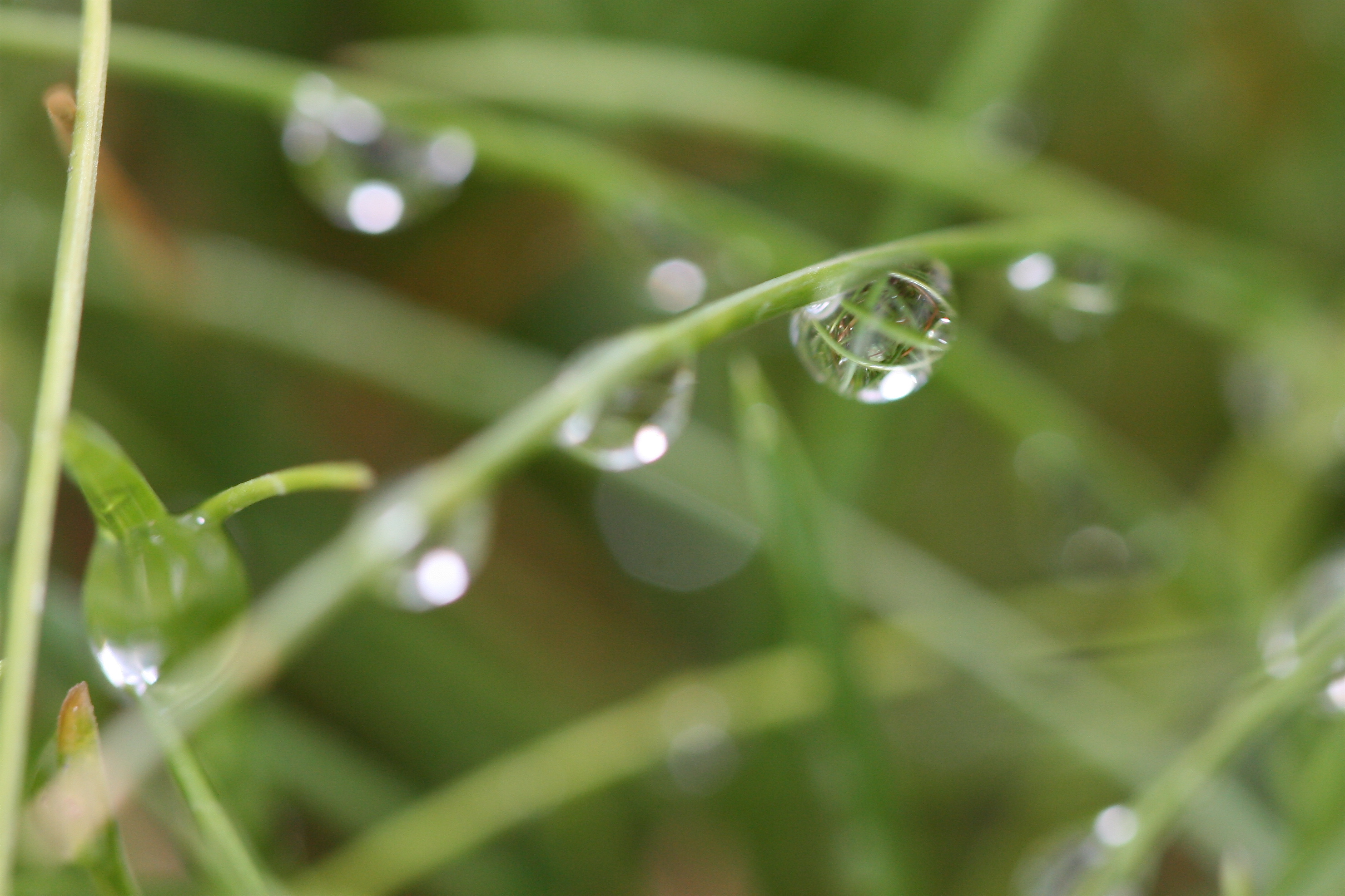
Cross Hatch Reflections
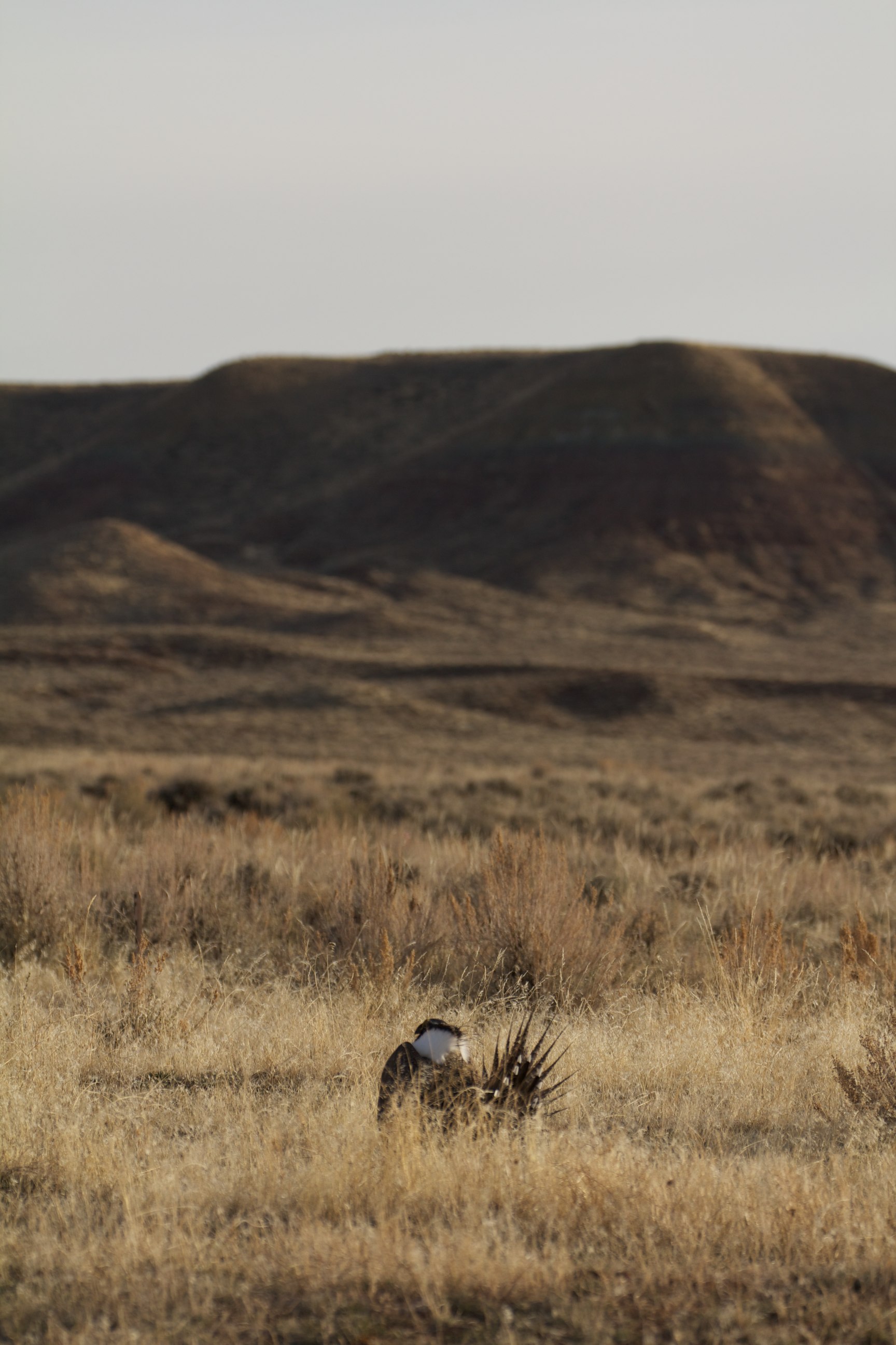
Grouse in the Grass

...and it was very good.
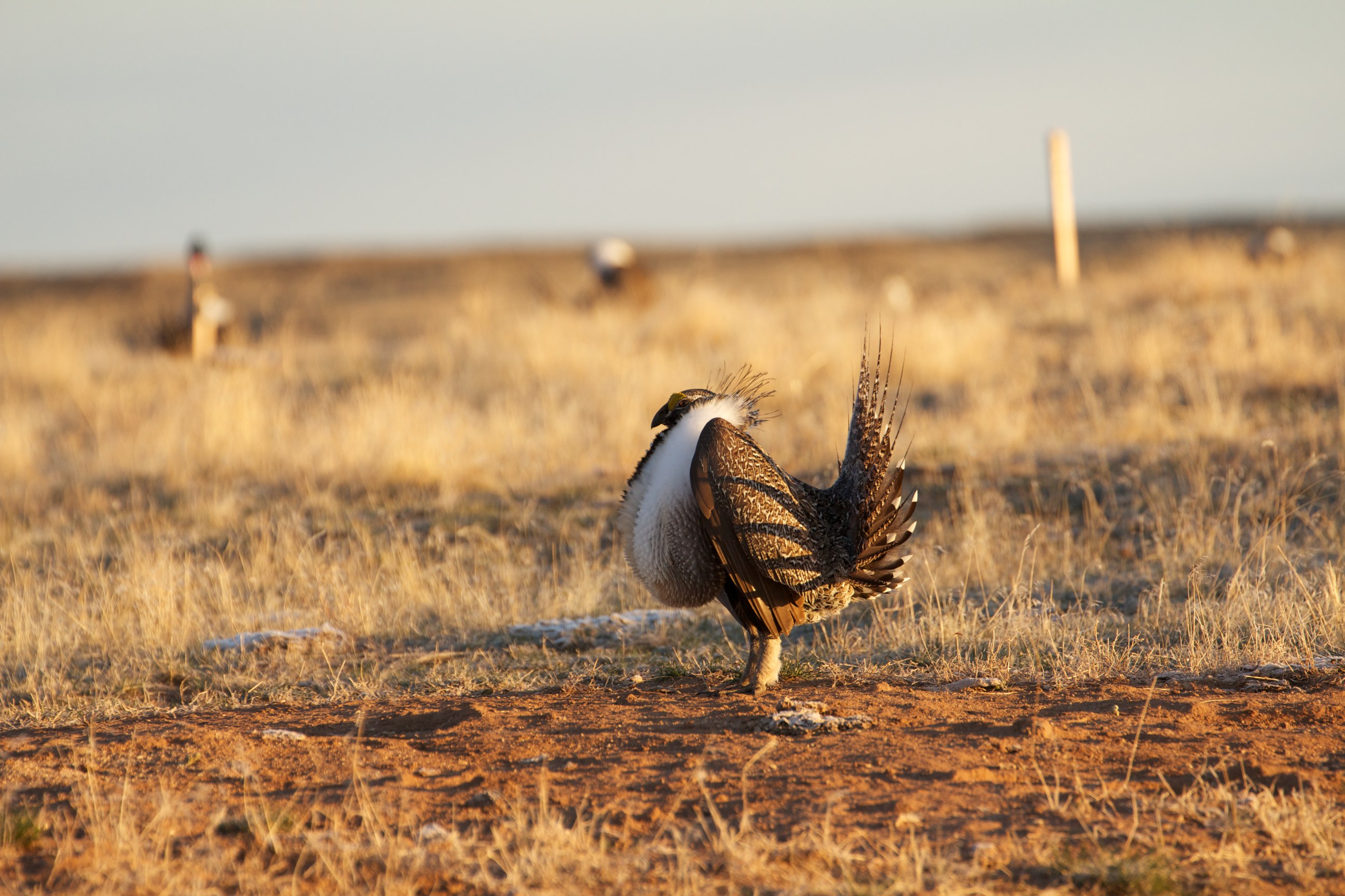
Male Greater Sage-grouse
Topographic Map of Fremont County, WY, USA
Find elevation by address:

Places in Fremont County, WY, USA:
Riverton
Lander
South Pass City
Shoshoni
Boulder Flats
Boulder Flats
Boulder Flats
Boulder Flats
Boulder Flats
Boulder Flats
Boulder Flats
Boulder Flats
Riverton
15 N Granier Ave, Atlantic City, WY, USA
US-26, Crowheart, WY, USA
65 Wyoming St, Lysite, WY, USA
N Cherry St, Pavillion, WY, USA
Moneta
Stewart Road
Wind River Reservation
Places near Fremont County, WY, USA:
Riverton
7 Vista Ct
48 Johnstown Spur, Riverton, WY, USA
15 Blue Heron Ln
US-26, Riverton, WY, USA
261 8 Mile Rd
WY-, Lander, WY, USA
Central Wyoming College
Boulder Flats
Boulder Flats
Boulder Flats
Boulder Flats
Boulder Flats
Boulder Flats
Boulder Flats
Boulder Flats
US-, Lander, WY, USA
Main St, Lander, WY, USA
1080 Pioneer Ave
Lander
Recent Searches:
- Elevation of Corso Fratelli Cairoli, 35, Macerata MC, Italy
- Elevation of Tallevast Rd, Sarasota, FL, USA
- Elevation of 4th St E, Sonoma, CA, USA
- Elevation of Black Hollow Rd, Pennsdale, PA, USA
- Elevation of Oakland Ave, Williamsport, PA, USA
- Elevation of Pedrógão Grande, Portugal
- Elevation of Klee Dr, Martinsburg, WV, USA
- Elevation of Via Roma, Pieranica CR, Italy
- Elevation of Tavkvetili Mountain, Georgia
- Elevation of Hartfords Bluff Cir, Mt Pleasant, SC, USA