Elevation of US-26, Crowheart, WY, USA
Location: United States > Wyoming > Fremont County >
Longitude: -109.19392
Latitude: 43.3096001
Elevation: 1855m / 6086feet
Barometric Pressure: 81KPa
Elevation Map:
Satellite Map:
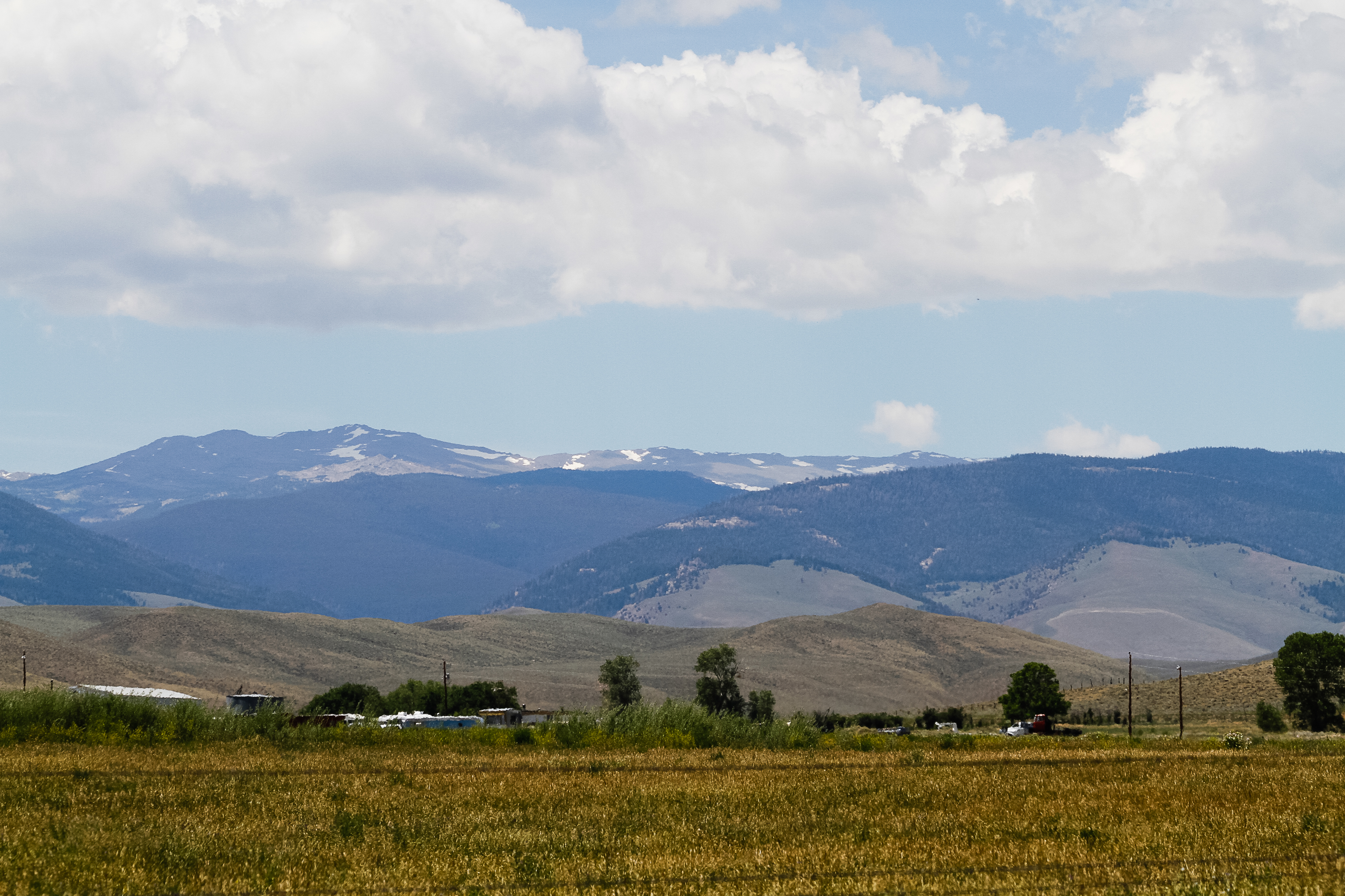
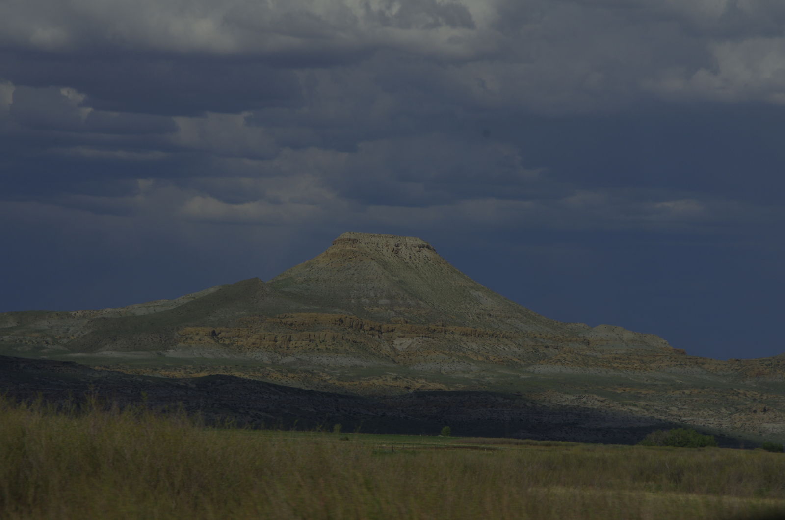
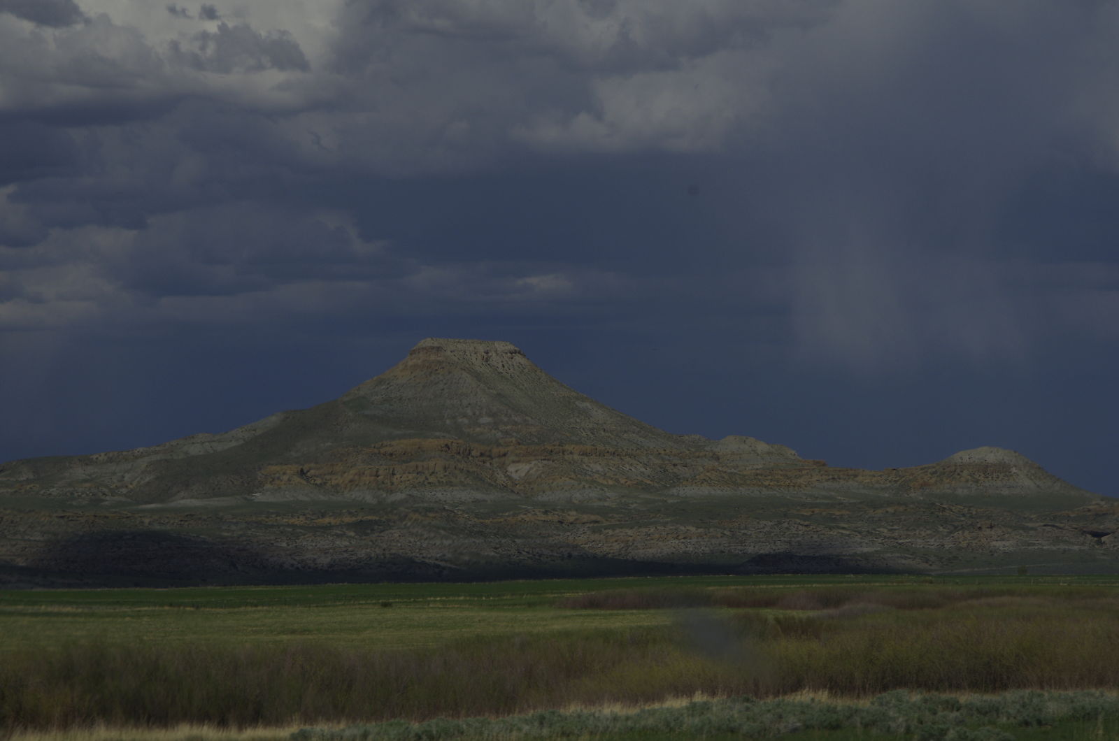
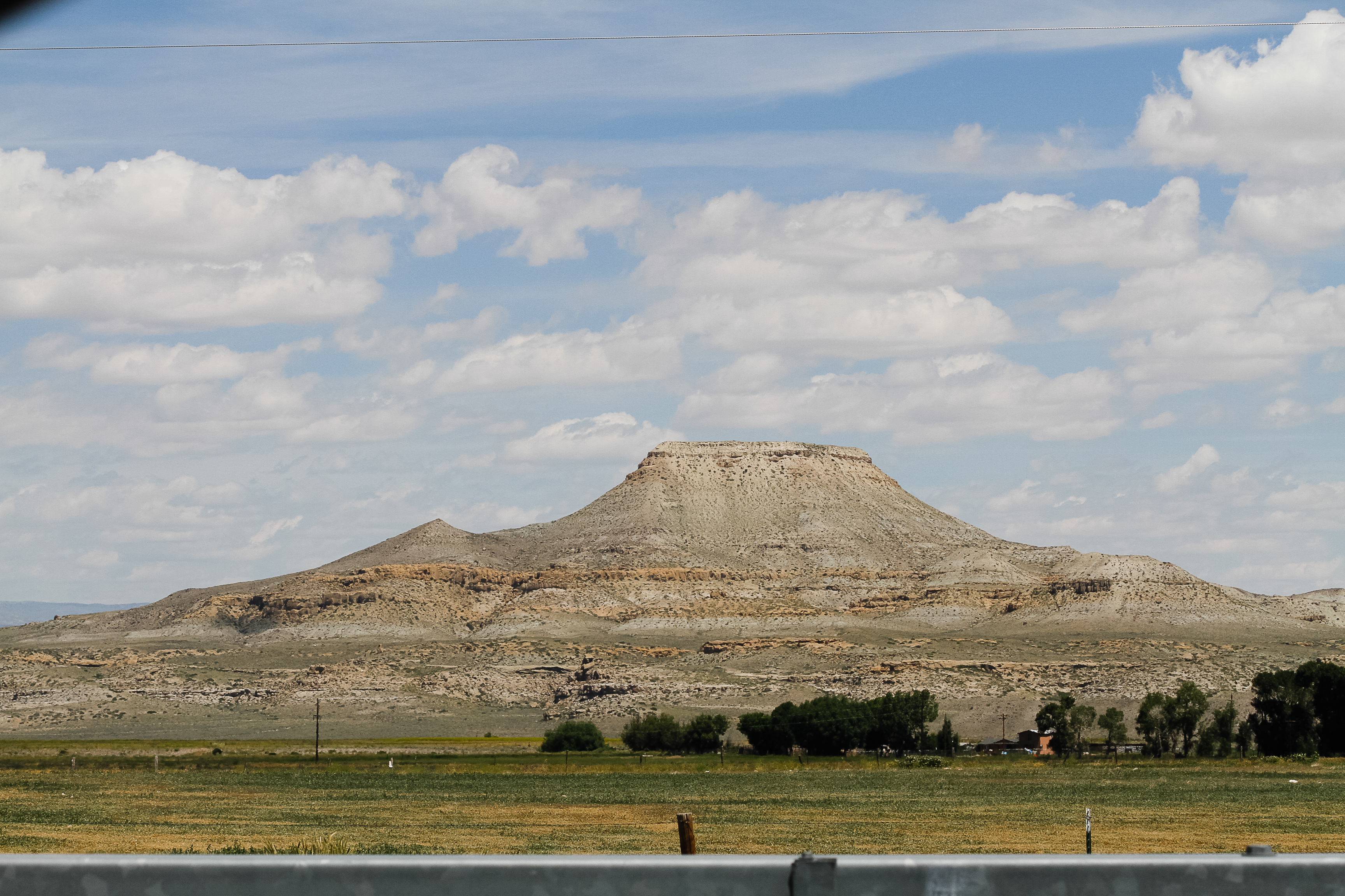
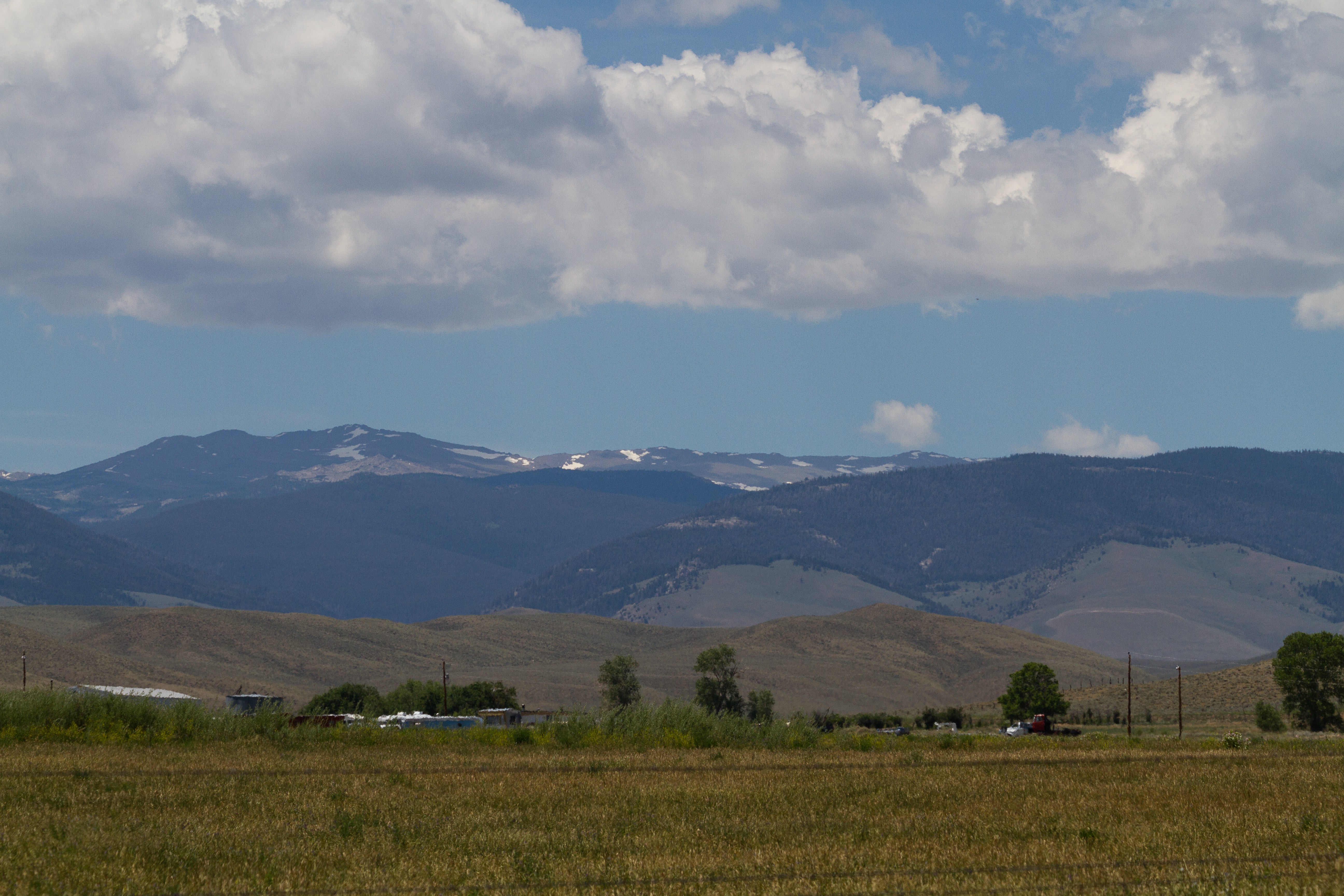
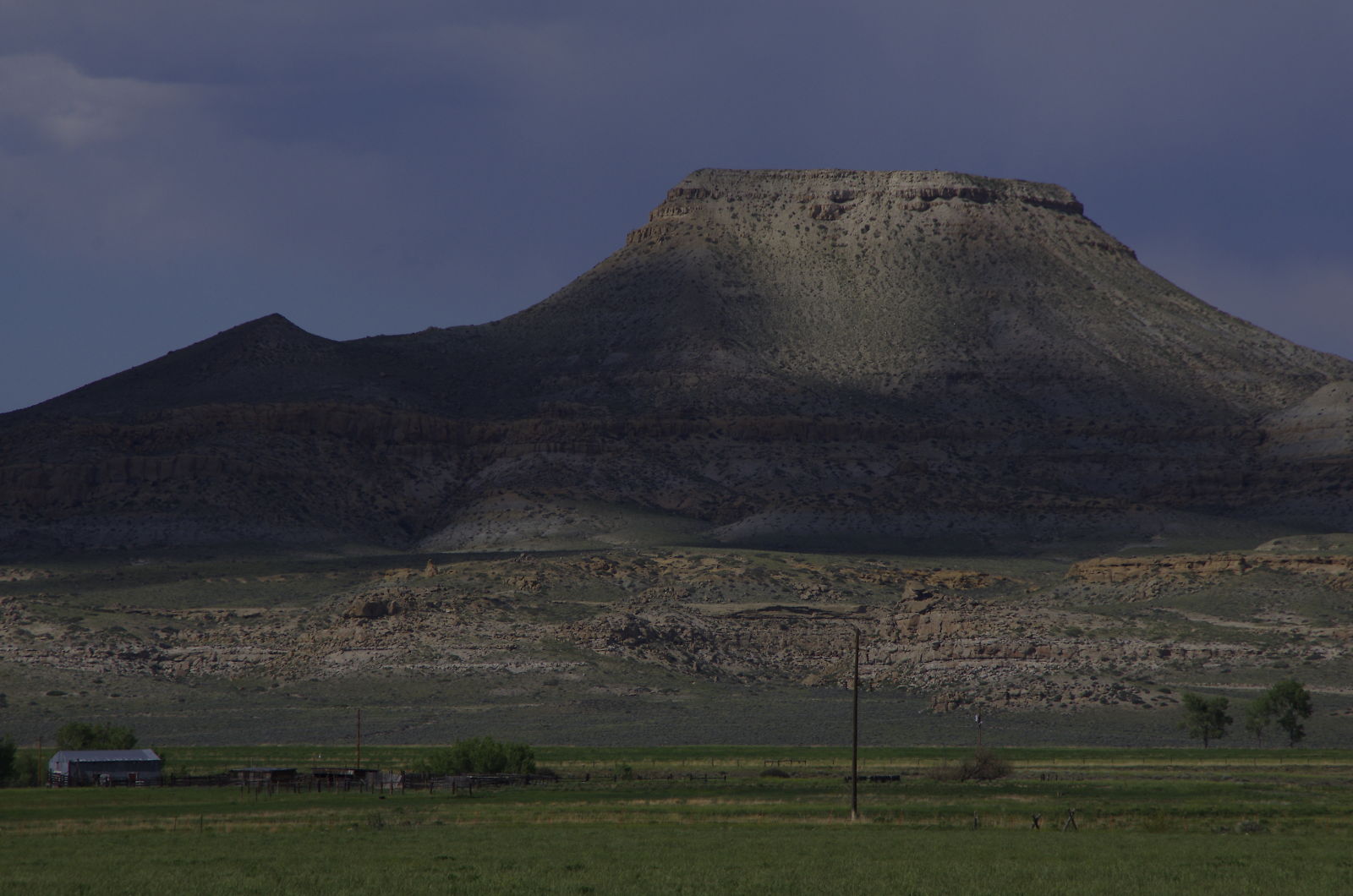
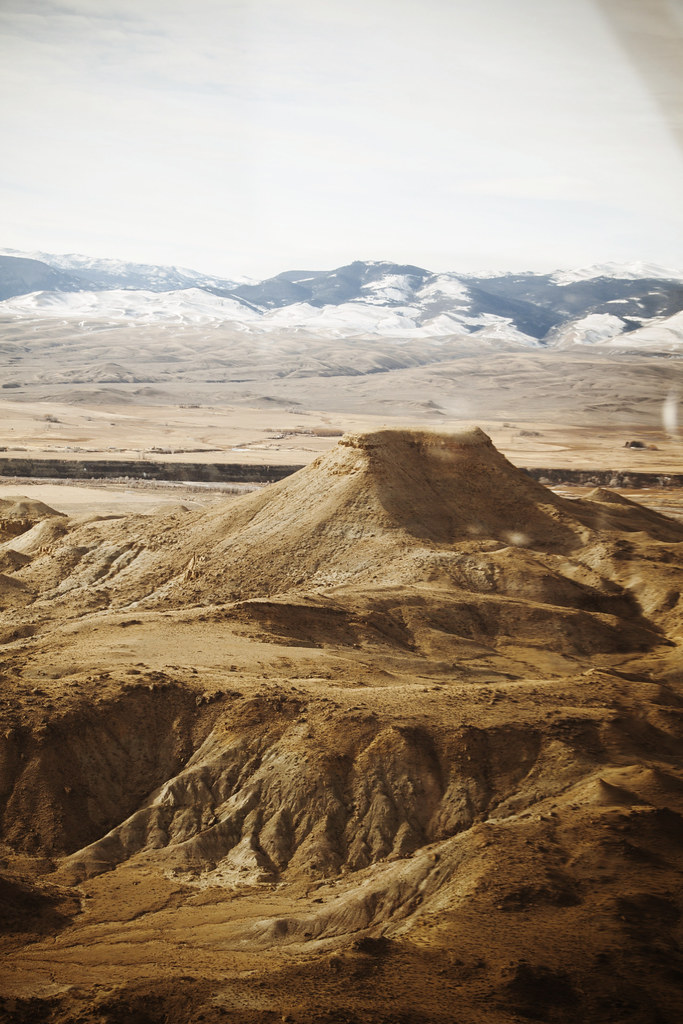
Related Photos:
untitled201307010159.jpg
_K5P7698.JPG
_K5P7697.JPG
untitled201307010158.jpg
untitled201307010038.jpg

untitled201307010037.jpg

Wind River, Crowheart Wyoming
_K5P7701.JPG
Crowheart Butte

USA September 2015
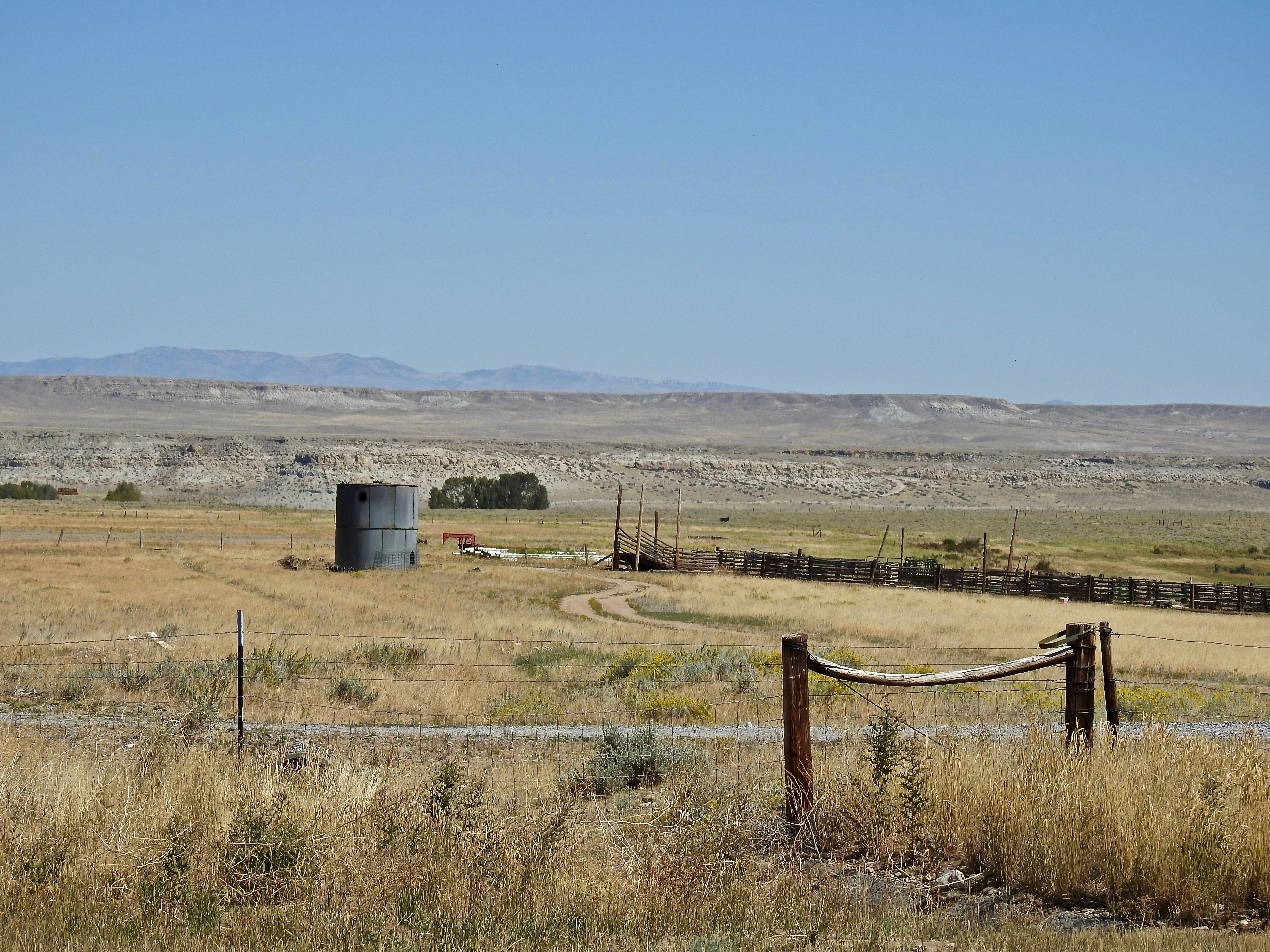
USA September 2015
Topographic Map of US-26, Crowheart, WY, USA
Find elevation by address:

Places near US-26, Crowheart, WY, USA:
27 Red Creek Ln, Dubois, WY, USA
Wind River Reservation
Torrey Lake
Stewart Road
Gannett Peak
Dubois
Gannett Realty
218 W Rams Horn St
N Cherry St, Pavillion, WY, USA
48 Johnstown Spur, Riverton, WY, USA
US-26, Riverton, WY, USA
Boulder Flats
Boulder Flats
Boulder Flats
Boulder Flats
Boulder Flats
Boulder Flats
Boulder Flats
Boulder Flats
US-, Lander, WY, USA
Recent Searches:
- Elevation of 6 Rue Jules Ferry, Beausoleil, France
- Elevation of Sattva Horizon, 4JC6+G9P, Vinayak Nagar, Kattigenahalli, Bengaluru, Karnataka, India
- Elevation of Great Brook Sports, Gold Star Hwy, Groton, CT, USA
- Elevation of 10 Mountain Laurels Dr, Nashua, NH, USA
- Elevation of 16 Gilboa Ln, Nashua, NH, USA
- Elevation of Laurel Rd, Townsend, TN, USA
- Elevation of 3 Nestling Wood Dr, Long Valley, NJ, USA
- Elevation of Ilungu, Tanzania
- Elevation of Yellow Springs Road, Yellow Springs Rd, Chester Springs, PA, USA
- Elevation of Rēzekne Municipality, Latvia