Elevation map of Riverton, WY, USA
Location: United States > Wyoming > Fremont County >
Longitude: -108.61756
Latitude: 43.0119968
Elevation: 1618m / 5308feet
Barometric Pressure: 83KPa
Elevation Map:
Satellite Map:
Related Photos:
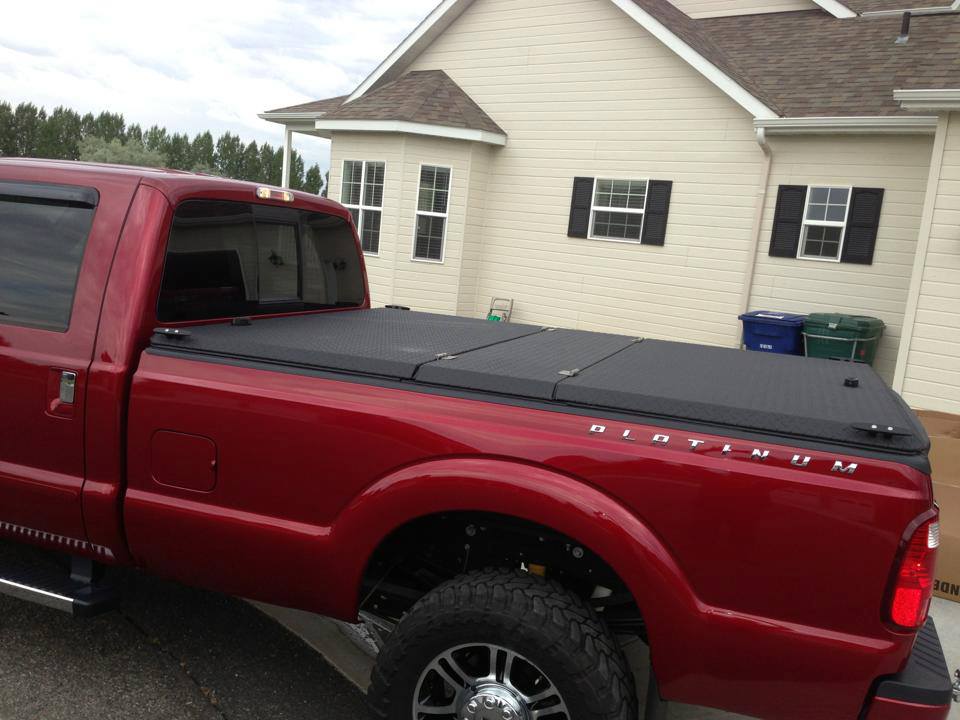
Black Folding Truck Bed Cover on Ford Super Duty Platinum Pickup Truck
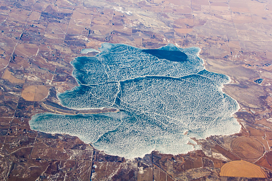
Aerial View of Ocean Lake, Wyoming

A point of view
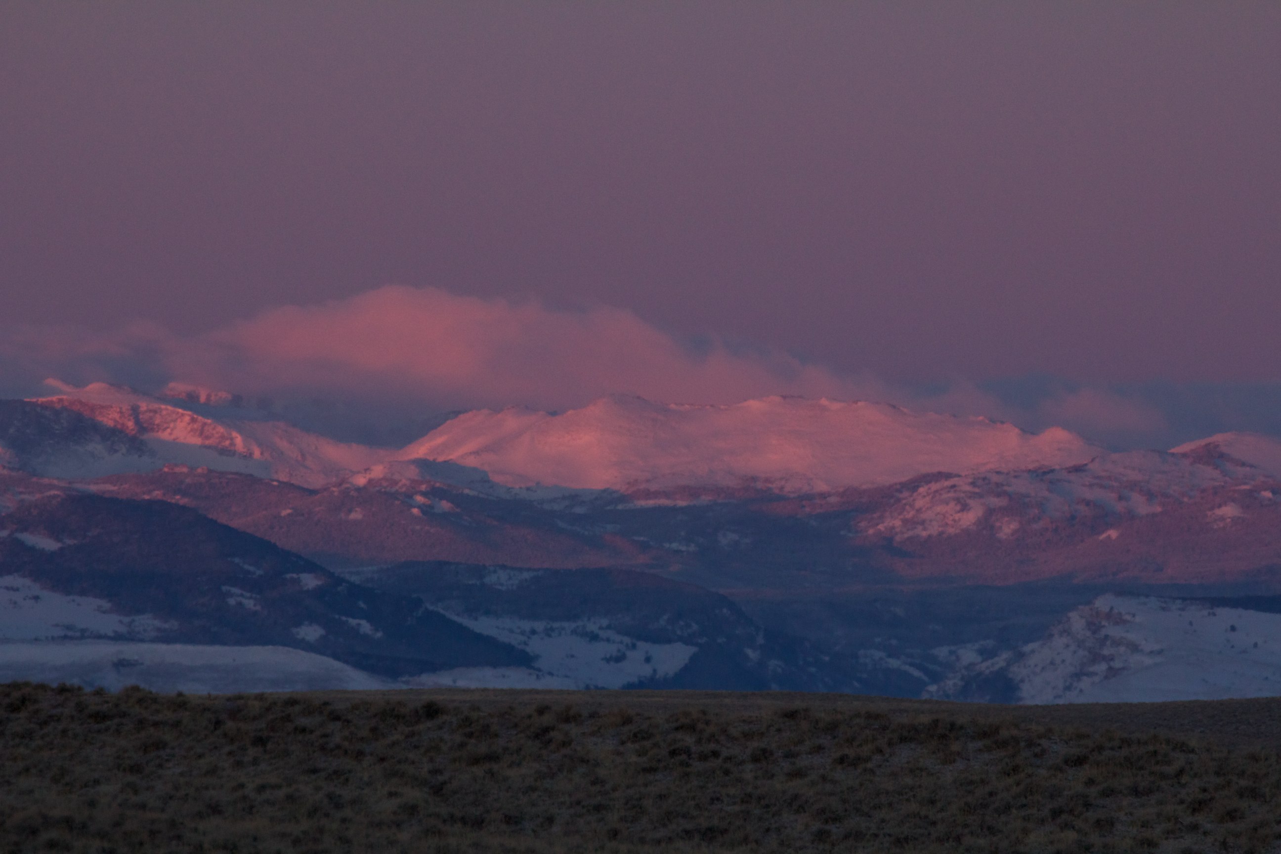
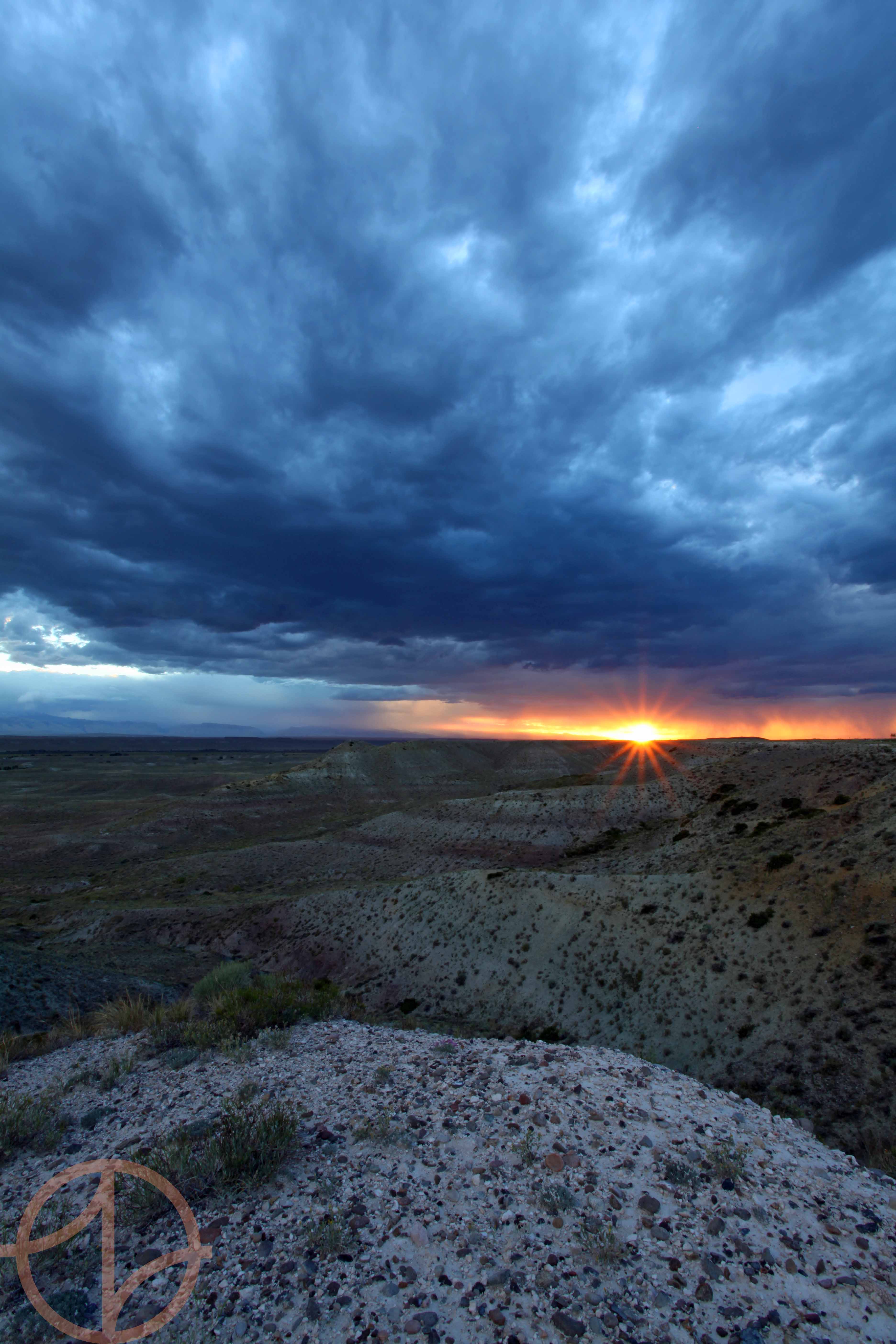
Sunrise, Wind River Range

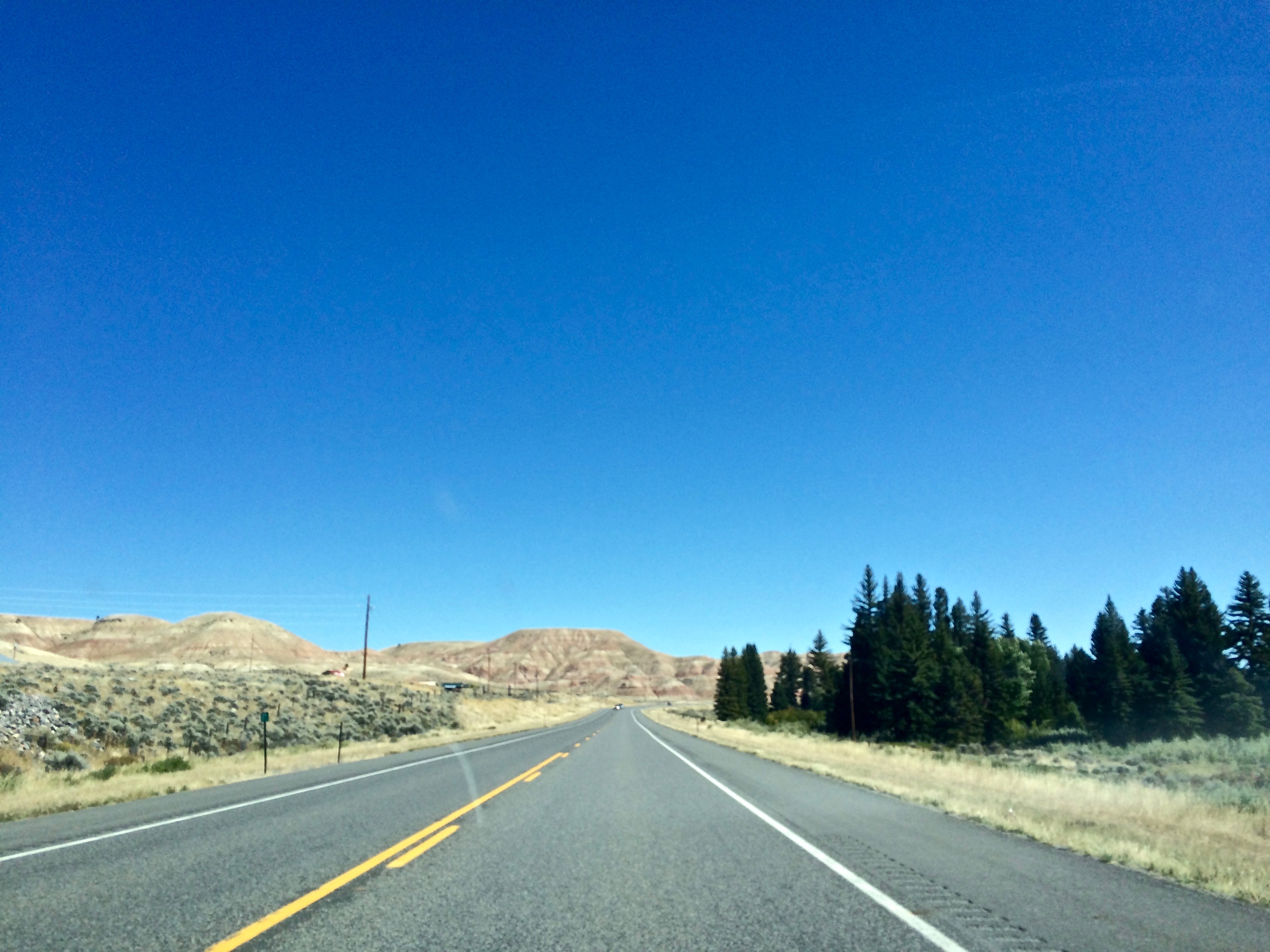
View from Ninemile Hill
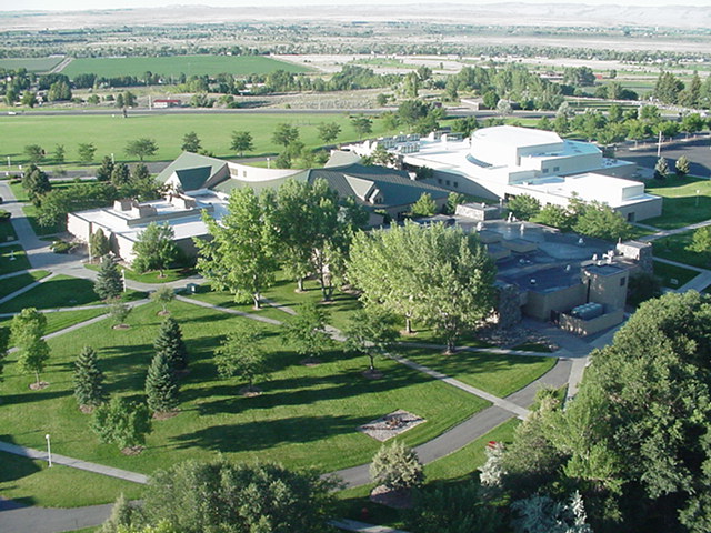
Central Wyoming College from a balloon
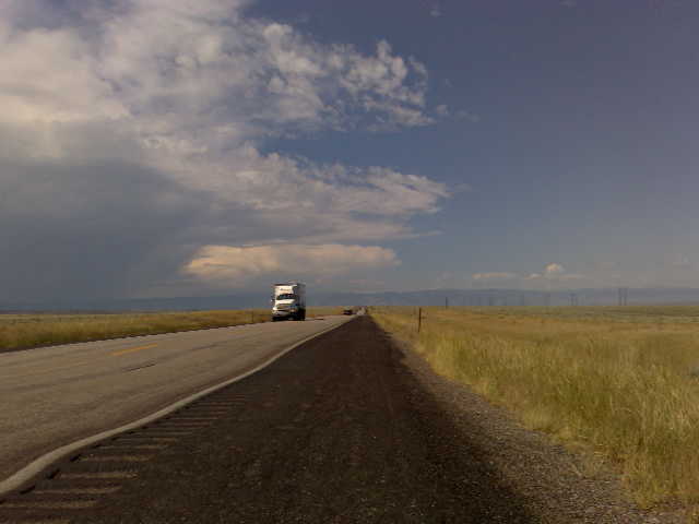
USA September 2015
July storm over the Winds

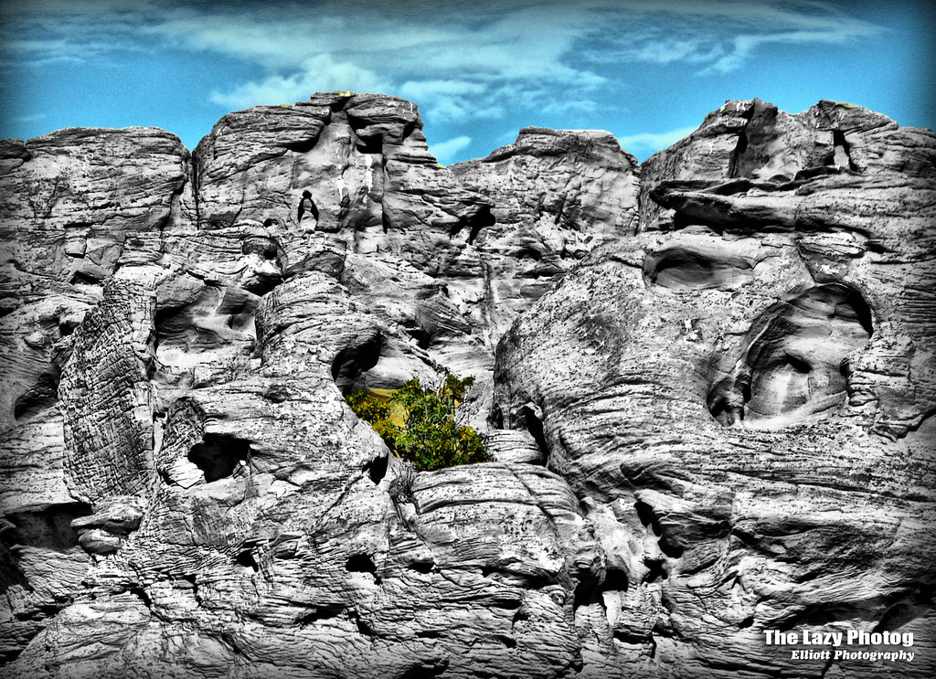
Hill Range @ Norine's
Blue Steel took a picture!

Abandoned Vehicles @ Norine's #2.tif

Assembling the Track

Abandoned Vehicles @ Norine's

Male Greater Sage-grouse

Grouse in the Grass

Cross Hatch Reflections

...and it was very good.
Sept 26 2011 - Life prospers where it can

Male Greater Sage-grouse
Topographic Map of Riverton, WY, USA
Find elevation by address:

Places near Riverton, WY, USA:
Fremont County
7 Vista Ct
48 Johnstown Spur, Riverton, WY, USA
15 Blue Heron Ln
US-26, Riverton, WY, USA
261 8 Mile Rd
WY-, Lander, WY, USA
Central Wyoming College
Boulder Flats
Boulder Flats
Boulder Flats
Boulder Flats
Boulder Flats
Boulder Flats
Boulder Flats
Boulder Flats
US-, Lander, WY, USA
Main St, Lander, WY, USA
1080 Pioneer Ave
Lander
Recent Searches:
- Elevation of 6 Rue Jules Ferry, Beausoleil, France
- Elevation of Sattva Horizon, 4JC6+G9P, Vinayak Nagar, Kattigenahalli, Bengaluru, Karnataka, India
- Elevation of Great Brook Sports, Gold Star Hwy, Groton, CT, USA
- Elevation of 10 Mountain Laurels Dr, Nashua, NH, USA
- Elevation of 16 Gilboa Ln, Nashua, NH, USA
- Elevation of Laurel Rd, Townsend, TN, USA
- Elevation of 3 Nestling Wood Dr, Long Valley, NJ, USA
- Elevation of Ilungu, Tanzania
- Elevation of Yellow Springs Road, Yellow Springs Rd, Chester Springs, PA, USA
- Elevation of Rēzekne Municipality, Latvia