Elevation of Freeman, MO, USA
Location: United States > Missouri > Cass County > Dolan Township >
Longitude: -94.505230
Latitude: 38.6183445
Elevation: 268m / 879feet
Barometric Pressure: 98KPa
Elevation Map:
Satellite Map:
Related Photos:

Suits and Boots

Feb. 2nd

A Drop of Dye

Clear Skies
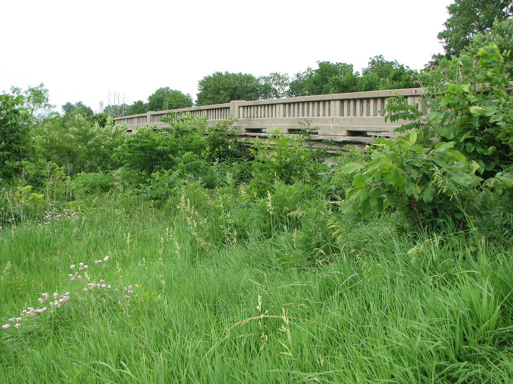
Tennessee Creek-Side View

Feb. 8th

Flight Line
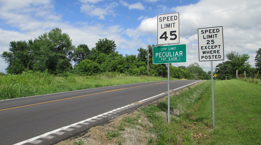
Entering Peculiar, Missouri

Autumn reflections

Cloud on the Water
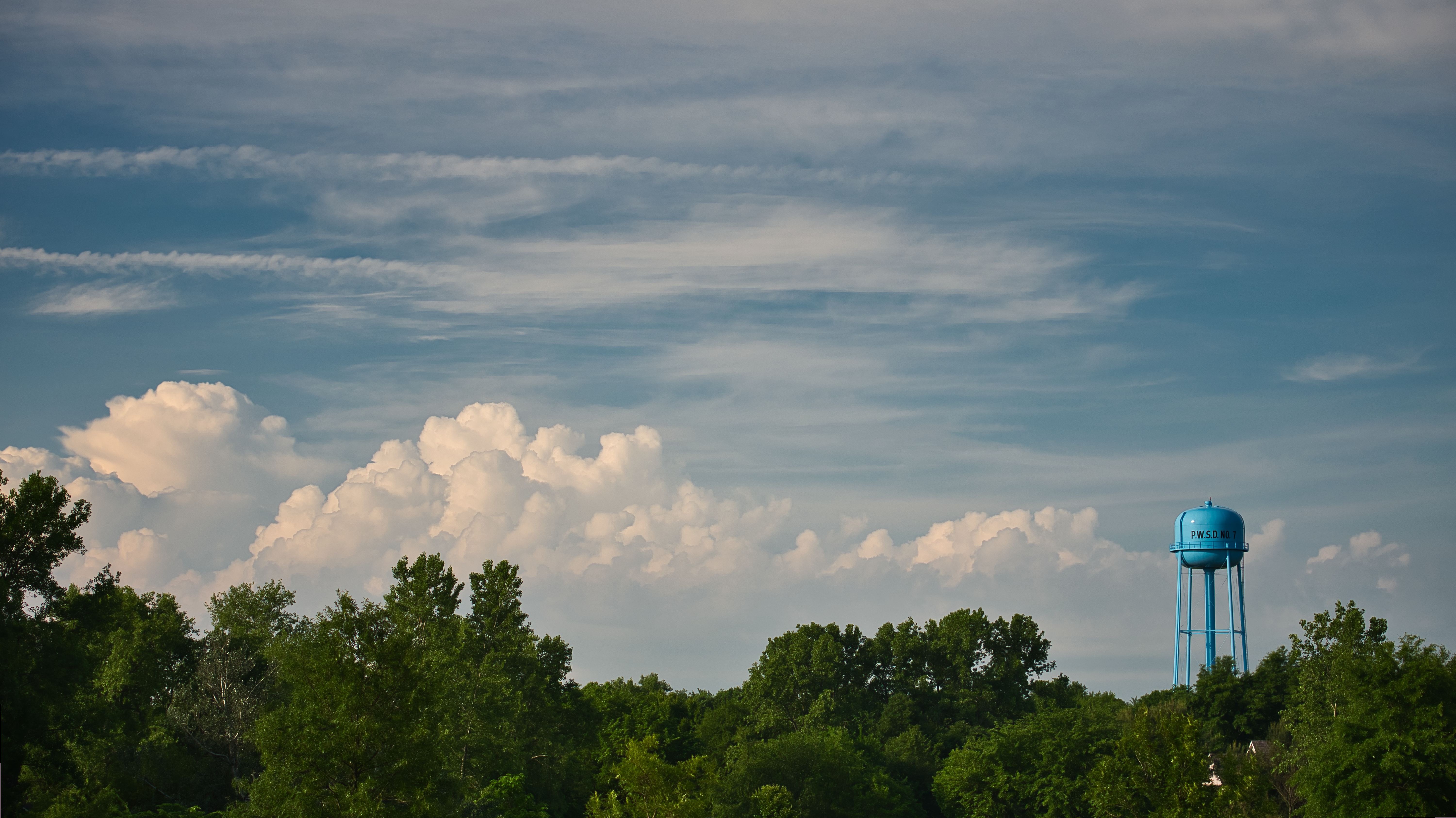
Morning Storm

Autumn Field

#snow
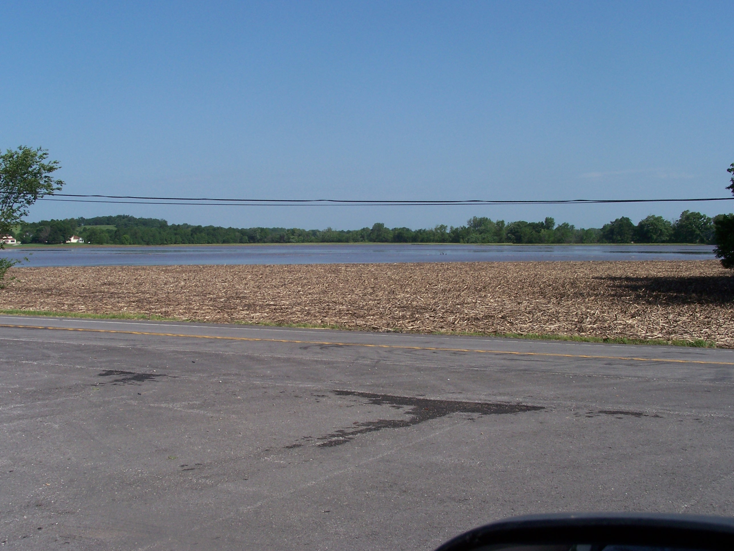
2highway flooding
Topographic Map of Freeman, MO, USA
Find elevation by address:

Places near Freeman, MO, USA:
Dolan Township
West Dolan Township
West Line
Cass St, Cleveland, MO, USA
West Peculiar Township
Peculiar
Coldwater Township
State Hwy A, Drexel, MO, USA
16950 S Jog Rd
21400 Sw Cloverhills Rd
24660 Mission Belleview Rd
2245 E 347th St
26611 Rockville Rd
Wea
1303 Southwind Dr
Louisburg
Mount Pleasant Township
Neil Drive
E th Ter, Pleasant Hill, MO, USA
Raymore Township
Recent Searches:
- Elevation of 24 Oakland Rd #, Scotland, ON N0E 1R0, Canada
- Elevation of Deep Gap Farm Rd E, Mill Spring, NC, USA
- Elevation of Dog Leg Dr, Minden, NV, USA
- Elevation of Dog Leg Dr, Minden, NV, USA
- Elevation of Kambingan Sa Pansol Atbp., Purok 7 Pansol, Candaba, Pampanga, Philippines
- Elevation of Pinewood Dr, New Bern, NC, USA
- Elevation of Mountain View, CA, USA
- Elevation of Foligno, Province of Perugia, Italy
- Elevation of Blauwestad, Netherlands
- Elevation of Bella Terra Blvd, Estero, FL, USA