Elevation of Southwind Dr, Raymore, MO, USA
Location: United States > Missouri > Cass County > Raymore Township > Raymore >
Longitude: -94.445767
Latitude: 38.775949
Elevation: 334m / 1096feet
Barometric Pressure: 97KPa
Elevation Map:
Satellite Map:
Related Photos:
Feb. 2nd
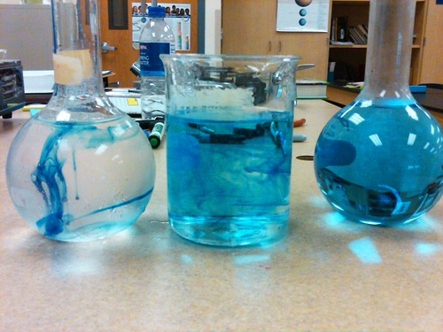
A Drop of Dye
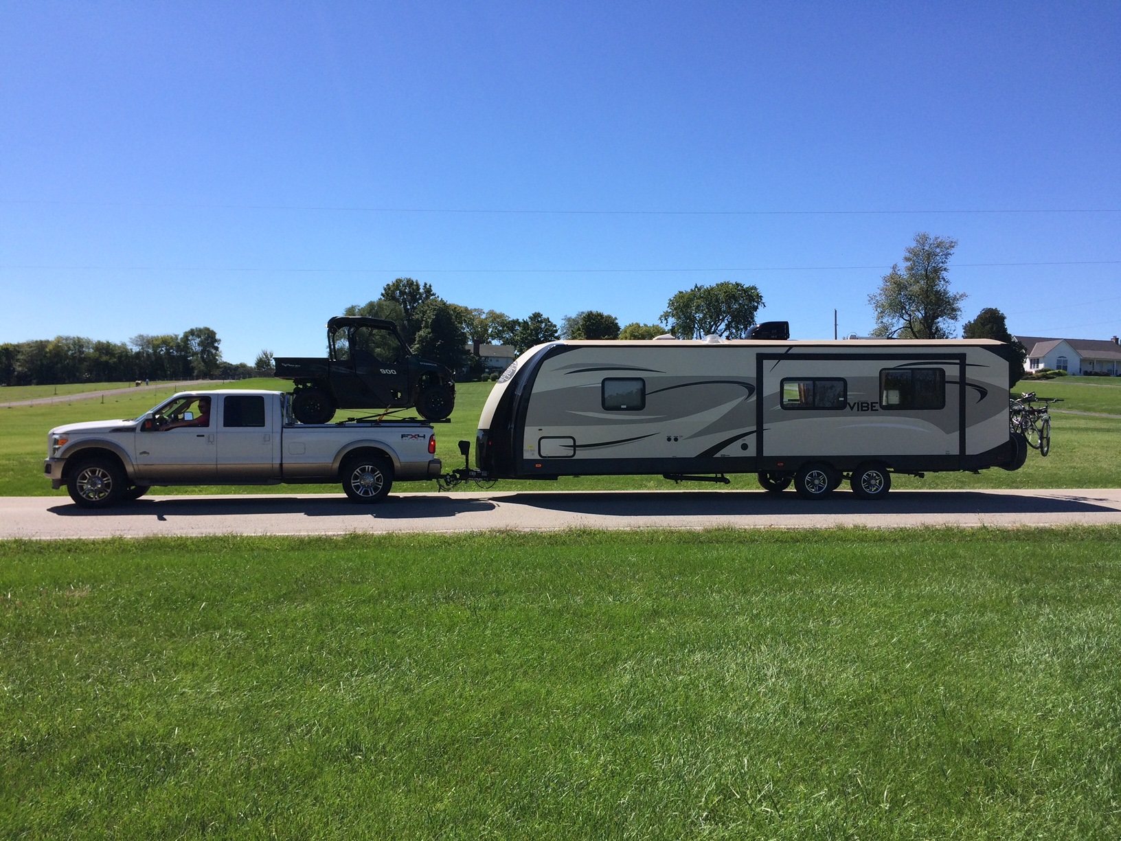
Ford Super Duty Hauls A UTV And Tows A Camper
April 19th
The Embrace
Stilwell Home-04

Feb. 4th
Stilwell Home-13
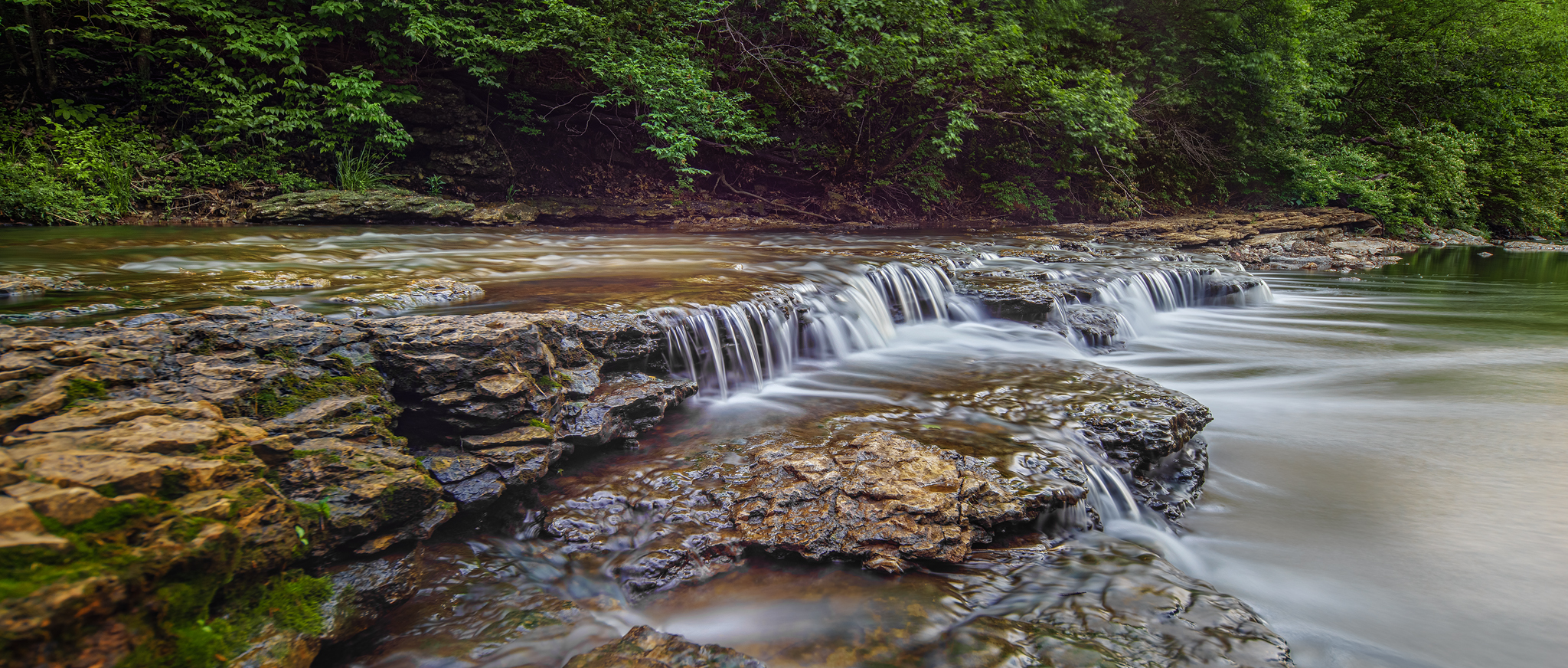
Oblique View Big Creek Bridge
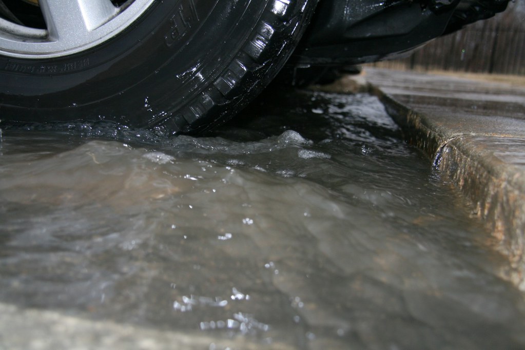
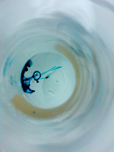
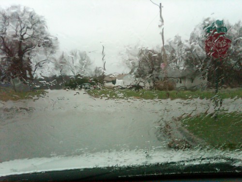
A Rain Drop's View
March 27th
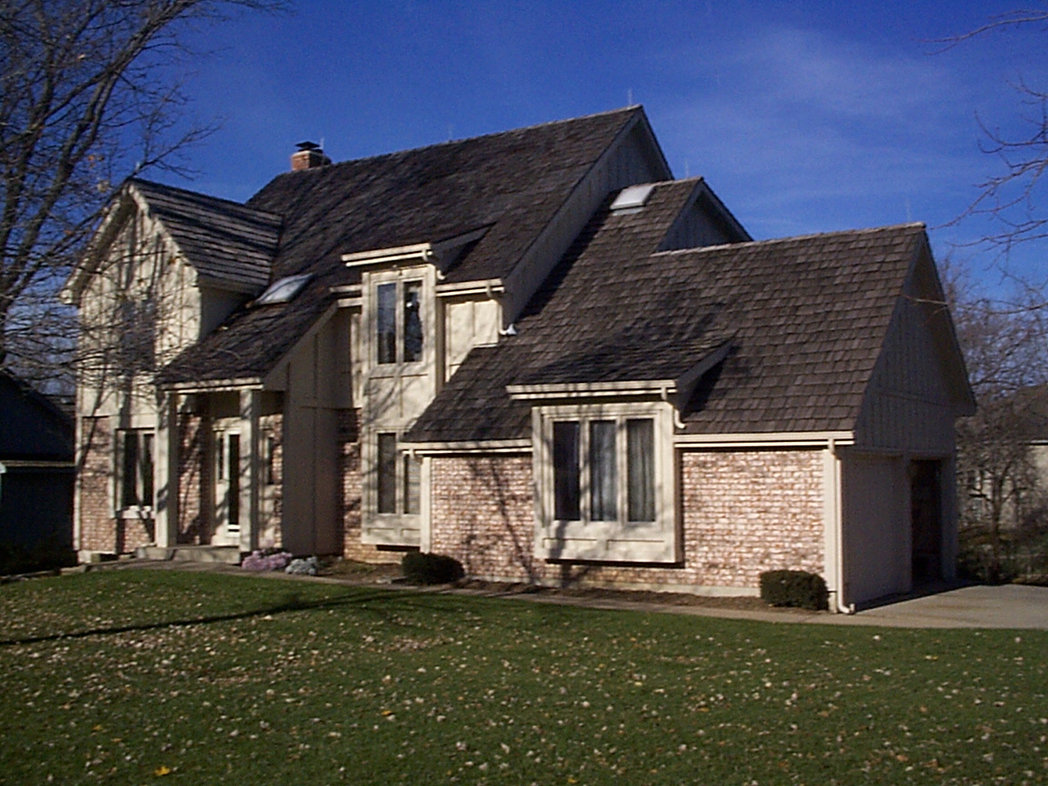
Stilwell Home-01
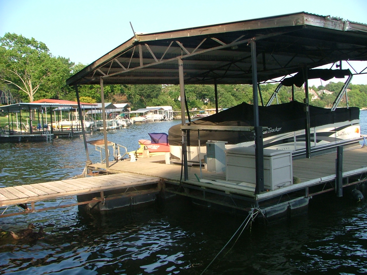
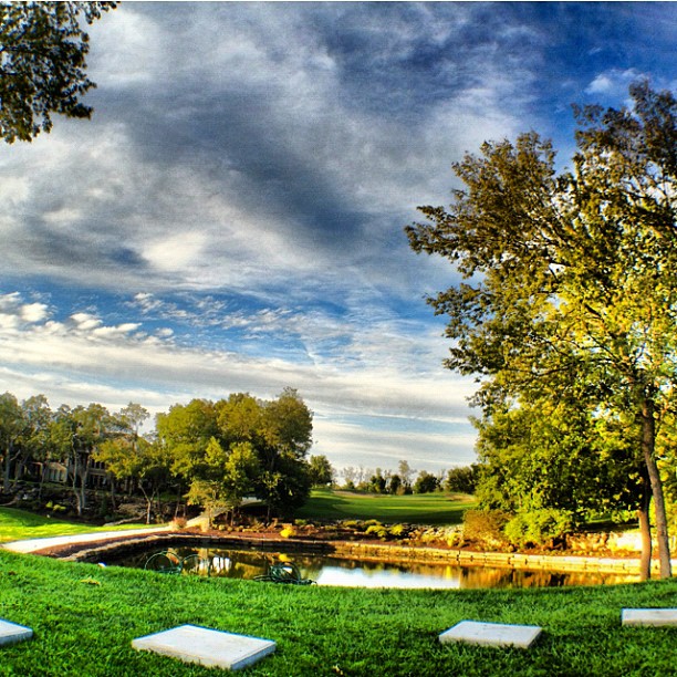
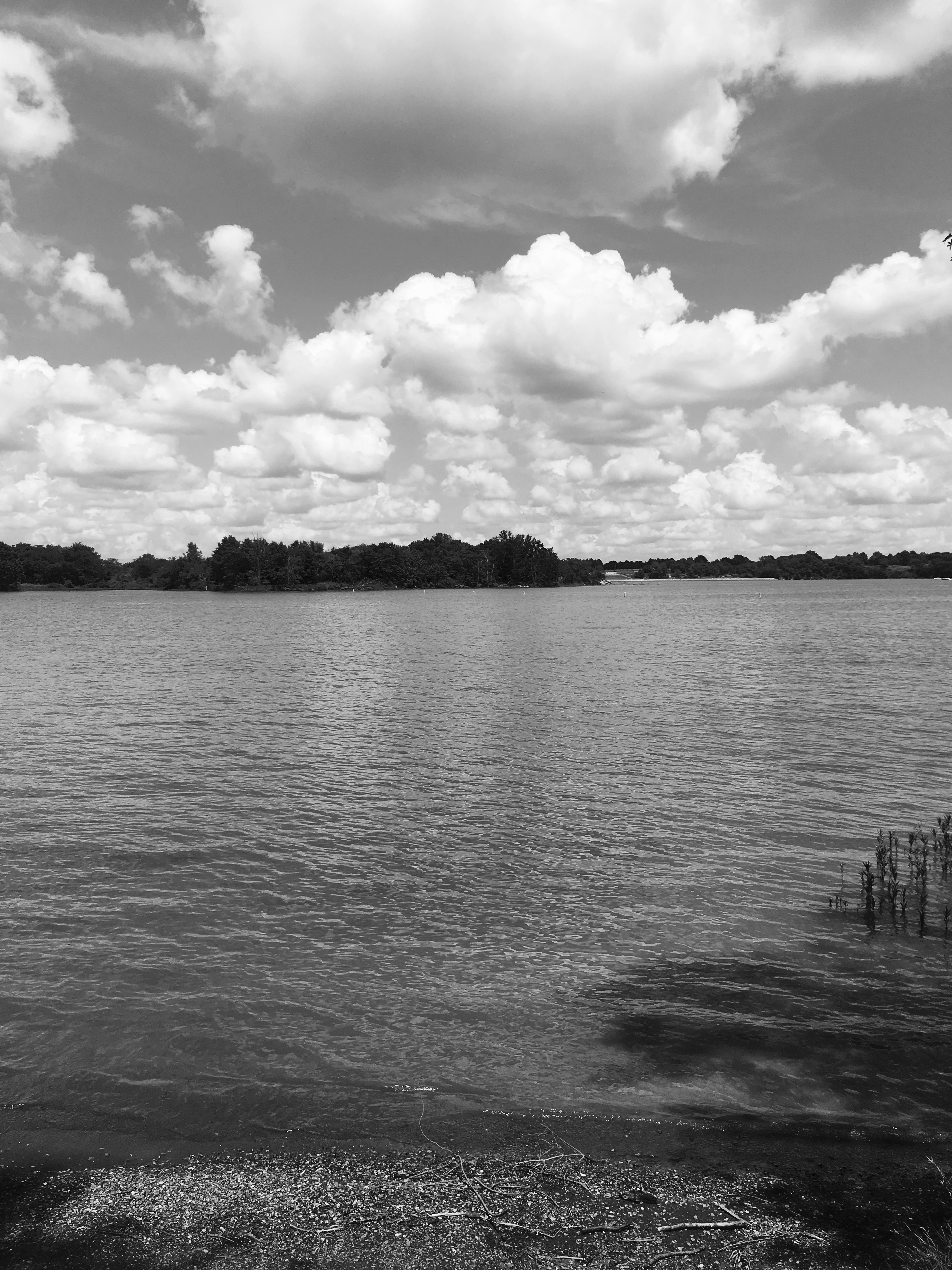
Views from Farr's dock 2
I will miss this view when we move.
Feb. 24th
Feb. 8th
KCS Grandview MO
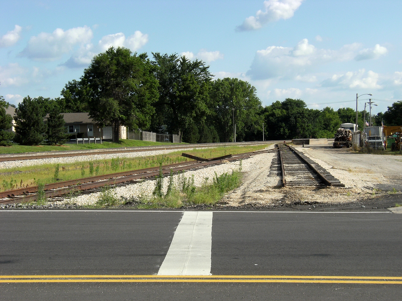
KCS Grandview MO
April 24th
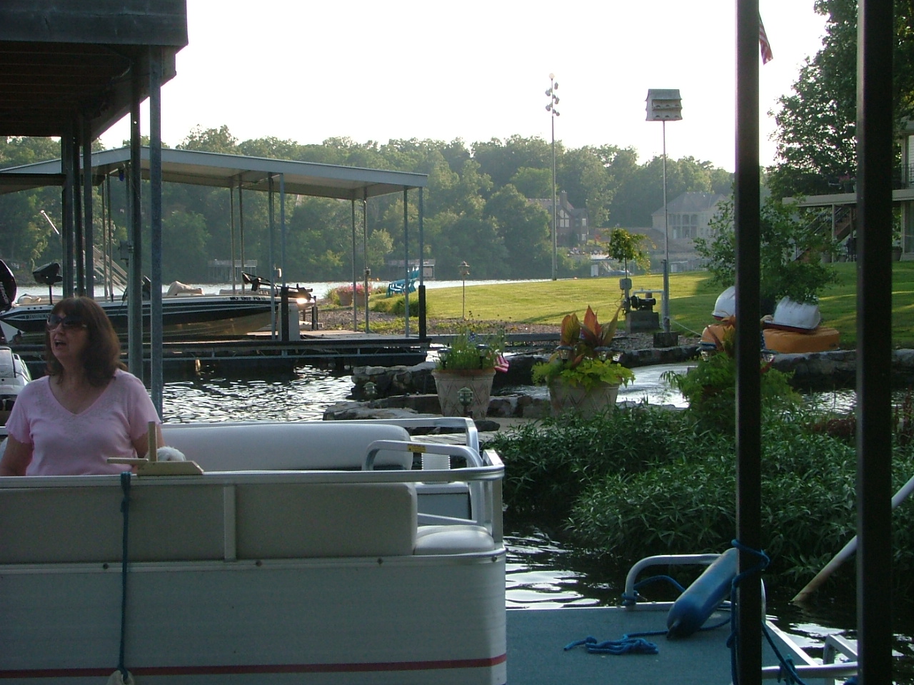
Views from Farr's dock
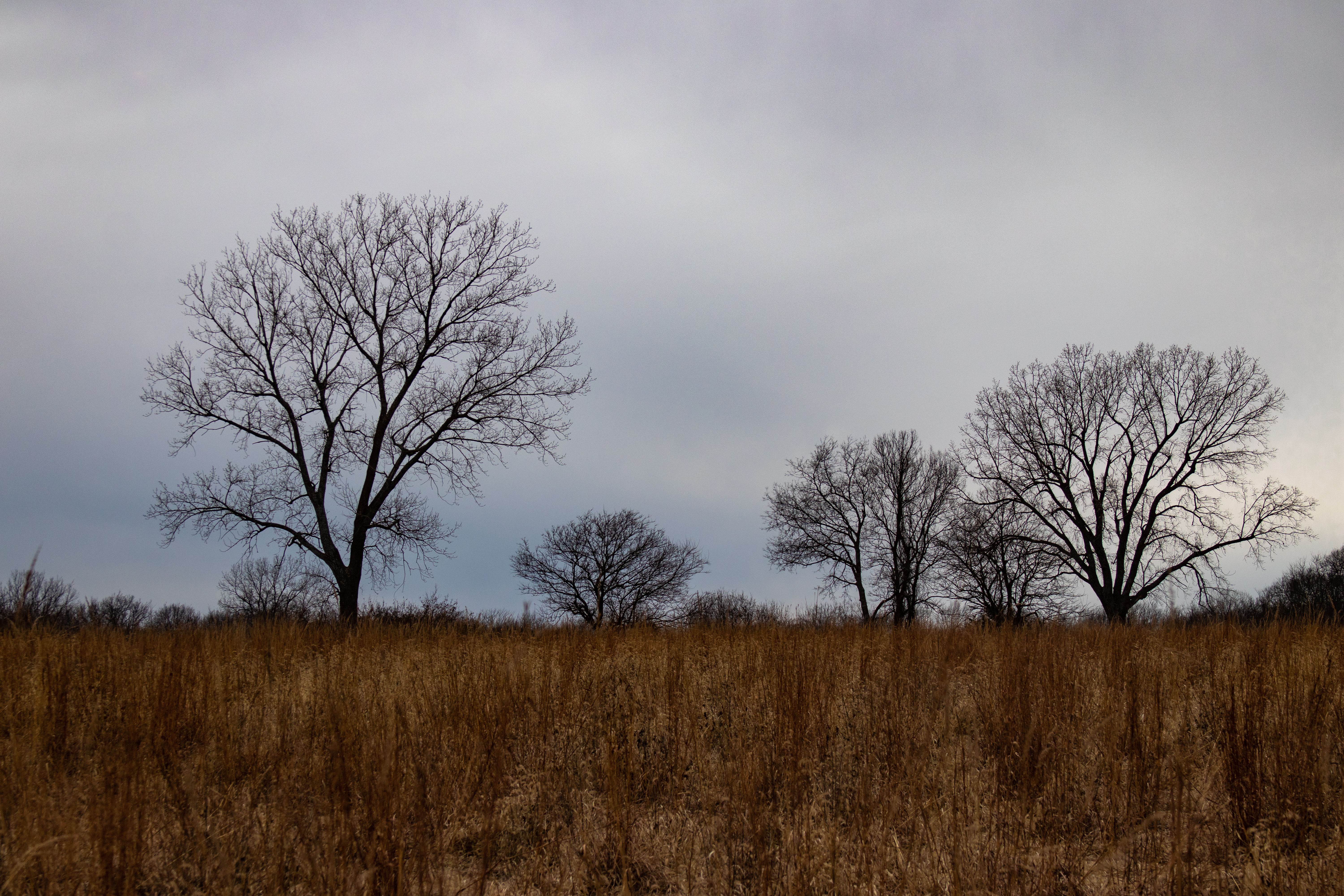
Winter Silhouettes

Morning At The Marina.....
Not Niagara

A Lee's Summit Sunset

Missouri Sunset
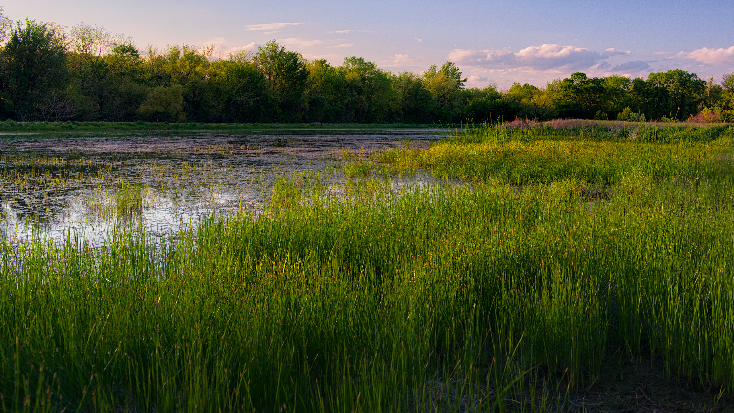
James A Reed Memorial Wildlife Area
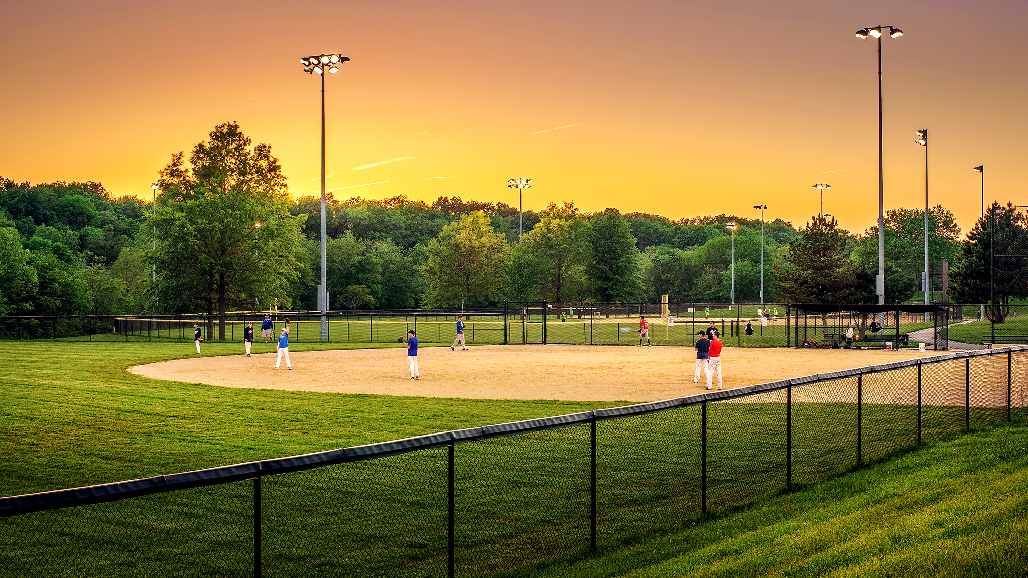
Baseball!
Lake trip 4
gorgeous.

James_A_Reed-4770
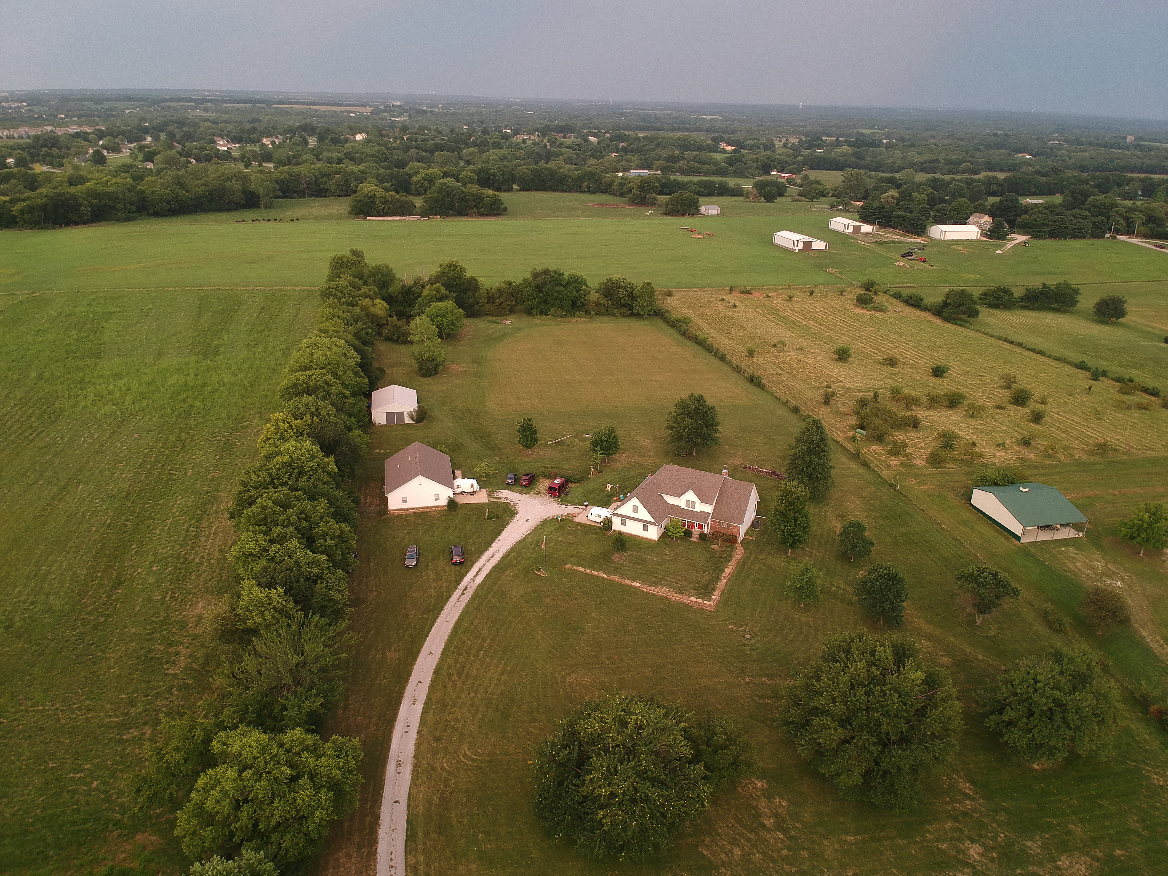
Rick and Cheryls from the end of their drive
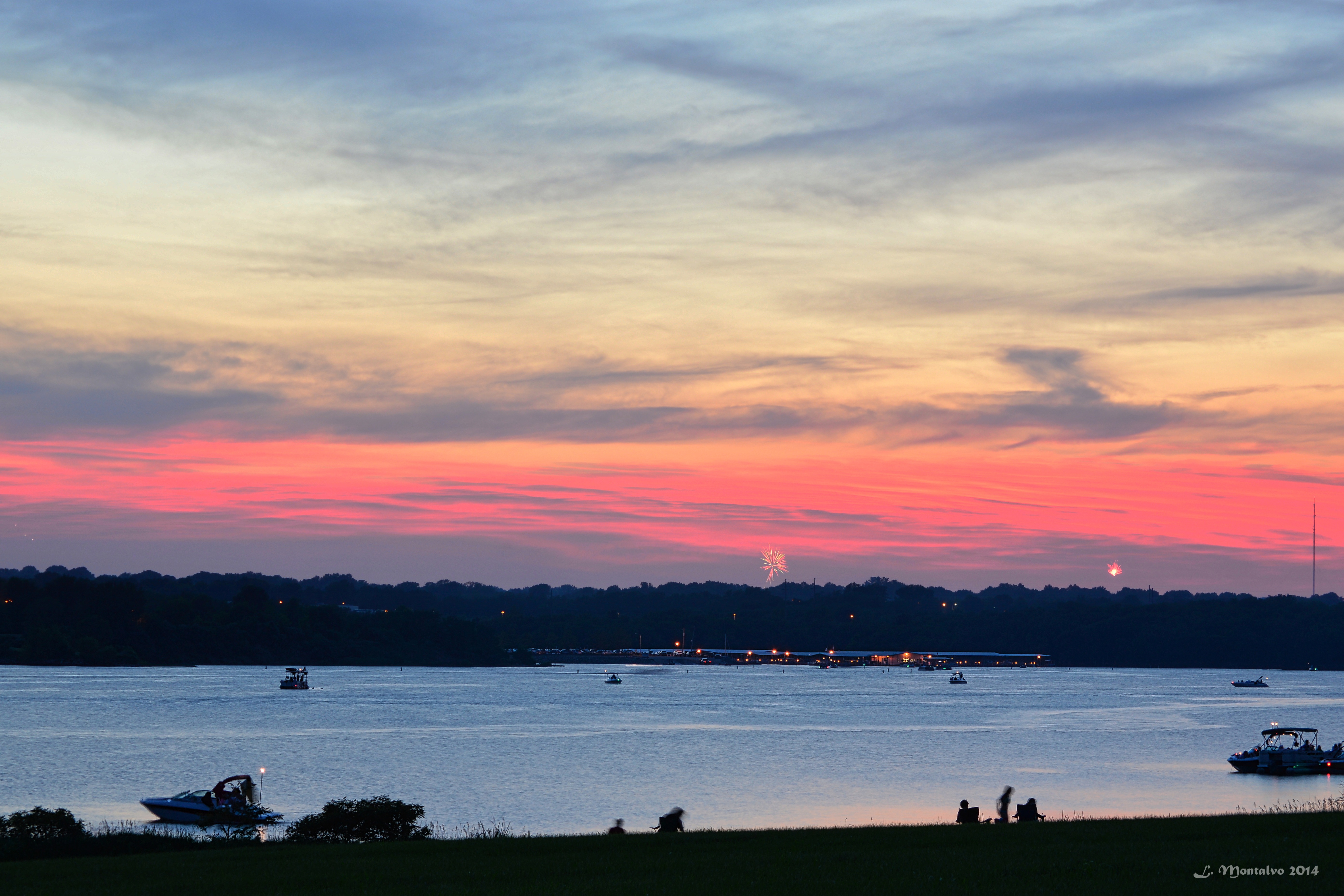
4th of July Fireworks @Longview Lake, Lee Summit, MO
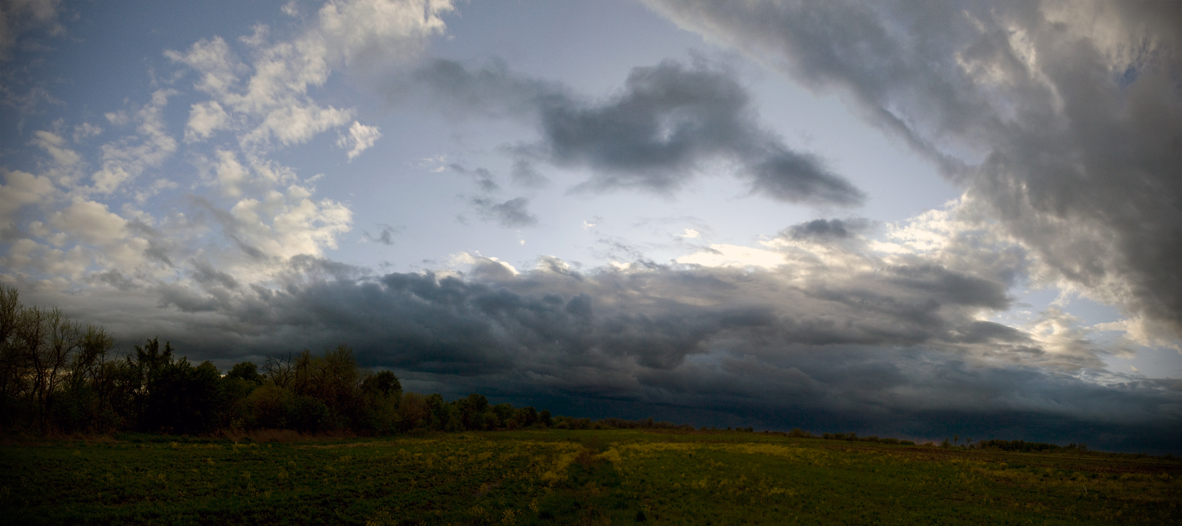
Storm Clouds Approaching

Storm Clouds Passing
Storm Clouds Mounting
June 17th
4th of July Fireworks @Longview Lake, Lee Summit, MO
defunct windmill

Richards Gebaur, Oct 17, 2008
Lake trip 4
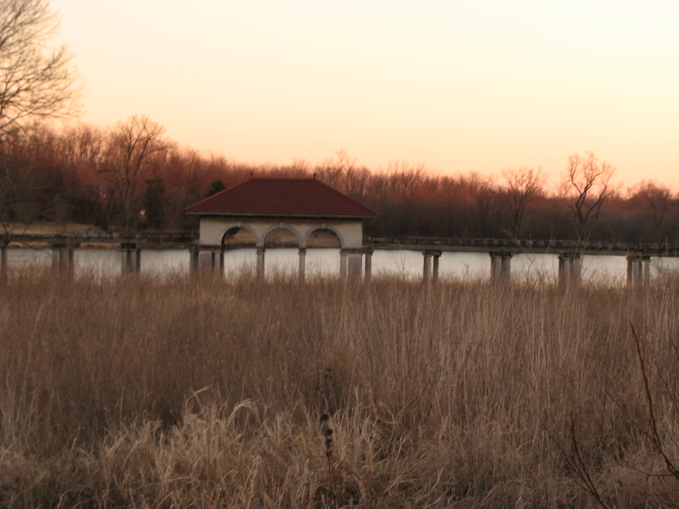
Longview Farms
Topographic Map of Southwind Dr, Raymore, MO, USA
Find elevation by address:

Places near Southwind Dr, Raymore, MO, USA:
Raymore Township
Raymore
E th Ter, Pleasant Hill, MO, USA
16950 S Jog Rd
Peculiar
West Peculiar Township
Belton
Shalimar Park
Mount Pleasant Township
202 Myron Ave
E th St, Grandview, MO, USA
Spruce Drive
13308 Overhill Rd
2916 Sw 13 St
Peculiar Township
W Main St, Greenwood, MO, USA
1499 Sw Ward Rd
Greenwood
Ore Rd, Pleasant Hill, MO, USA
Baler Service Company
Recent Searches:
- Elevation of Côte-des-Neiges, Montreal, QC H4A 3J6, Canada
- Elevation of Bobcat Dr, Helena, MT, USA
- Elevation of Zu den Ihlowbergen, Althüttendorf, Germany
- Elevation of Badaber, Peshawar, Khyber Pakhtunkhwa, Pakistan
- Elevation of SE Heron Loop, Lincoln City, OR, USA
- Elevation of Slanický ostrov, 01 Námestovo, Slovakia
- Elevation of Spaceport America, Co Rd A, Truth or Consequences, NM, USA
- Elevation of Warwick, RI, USA
- Elevation of Fern Rd, Whitmore, CA, USA
- Elevation of 62 Abbey St, Marshfield, MA, USA