Elevation of Fort Ogden, FL, USA
Location: United States > Florida > Desoto County > Arcadia >
Longitude: -81.952307
Latitude: 27.0872769
Elevation: -10000m / -32808feet
Barometric Pressure: 295KPa
Elevation Map:
Satellite Map:
Related Photos:

Caladium Leaf 2

Baby-Yellow Crown Night Herons 5

Post workout. 7/22/2010

Eagle in flight

Monk Parakeet 2

Fort Ogden School in the Ghost Town of Fort Ogden

Room with a view. 6/18/2010
Harbor Heights Park - Shore alternate view

Spoonbill 4, River Rookeries

Baby-Wood-Stork-3
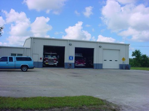
Charlotte County Fire & EMS Station 6 - front view

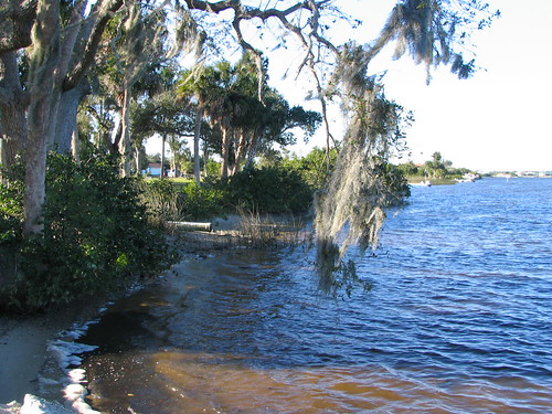
Harbor Heights Park - Shoreline

Charlotte County Fire & EMS Station 6 - alternate view

Cyperus polystachyos (Coast Flatsedge)
Wish you were here. 7/27/2010

Tampa, Florida

hh 118

Punta Gorda

Morning Glory

Drive & sunset. 6/19/2010

We'll miss you #florida #travel #instatravel #instagood
Sunset. Florida.
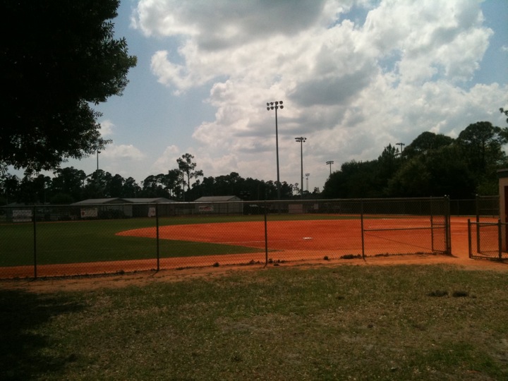
4 baseball fields, 2 tennis courts... no on here. #ghosttown

Burrowing Owl
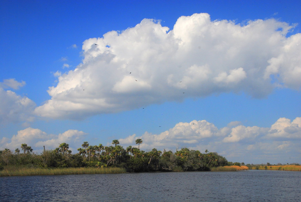
Peace River landscape with clouds, Peace River, Florida

#photo #tagged to Team #airboataddicts by and go #follow @boggy_creek_airboat_rides What a #sunset via the #airboat #blowboat in #kissimmee #kissimmeechainoflakes to get #outdoors to #ridetoslide to go #aiboatin #nature #wildlife to live this #airboatlife

Peace River Landscape, Florida

Burrowing Owl
Harbor Heights Park - River water

Burrowing Owl

Sunset in Florida

Babcock Wildlife Florida

Christmas in Florida
Topographic Map of Fort Ogden, FL, USA
Find elevation by address:

Places near Fort Ogden, FL, USA:
US-17, Arcadia, FL, USA
8874 Sw Hampshire Ave
SW Hull Ave, Arcadia, FL, USA
7713 Sw Vineyard Ter
9099 Southwest Start Center Street
County Rd, Arcadia, FL, USA
9099 County Rd 769
6765 County Rd 769
6765 County Rd 769
6765 County Rd 769
6765 County Rd 769
9300 Sw Fort Winder St
6816 County Rd 769
6982 County Rd 769
6865 County Rd 769
7107 County Rd 769
6917 County Rd 769
6961 County Rd 769
6971 County Rd 769
9770 County Rd 769
Recent Searches:
- Elevation of 6 Rue Jules Ferry, Beausoleil, France
- Elevation of Sattva Horizon, 4JC6+G9P, Vinayak Nagar, Kattigenahalli, Bengaluru, Karnataka, India
- Elevation of Great Brook Sports, Gold Star Hwy, Groton, CT, USA
- Elevation of 10 Mountain Laurels Dr, Nashua, NH, USA
- Elevation of 16 Gilboa Ln, Nashua, NH, USA
- Elevation of Laurel Rd, Townsend, TN, USA
- Elevation of 3 Nestling Wood Dr, Long Valley, NJ, USA
- Elevation of Ilungu, Tanzania
- Elevation of Yellow Springs Road, Yellow Springs Rd, Chester Springs, PA, USA
- Elevation of Rēzekne Municipality, Latvia