Elevation of SW Hull Ave, Arcadia, FL, USA
Location: United States > Florida > Desoto County > Arcadia >
Longitude: -81.942004
Latitude: 27.118593
Elevation: 10m / 33feet
Barometric Pressure: 101KPa
Elevation Map:
Satellite Map:
Related Photos:
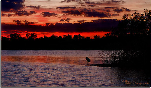
Hunter Creek Rookery Sunset 2

Baby-Yellow Crown Night Herons 5

Christmas Card 2010
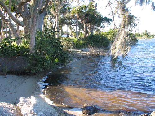
Harbor Heights Park - Shore alternate view
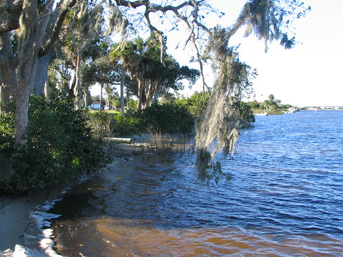
Harbor Heights Park - Shore alternate view

Home Sweet Home 2

Immature-Black-Crown-Night

Home Sweet Home
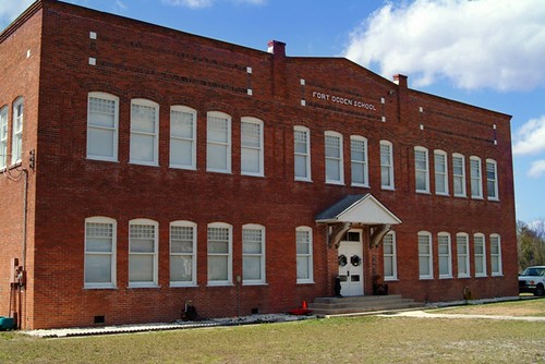
Fort Ogden School in the Ghost Town of Fort Ogden
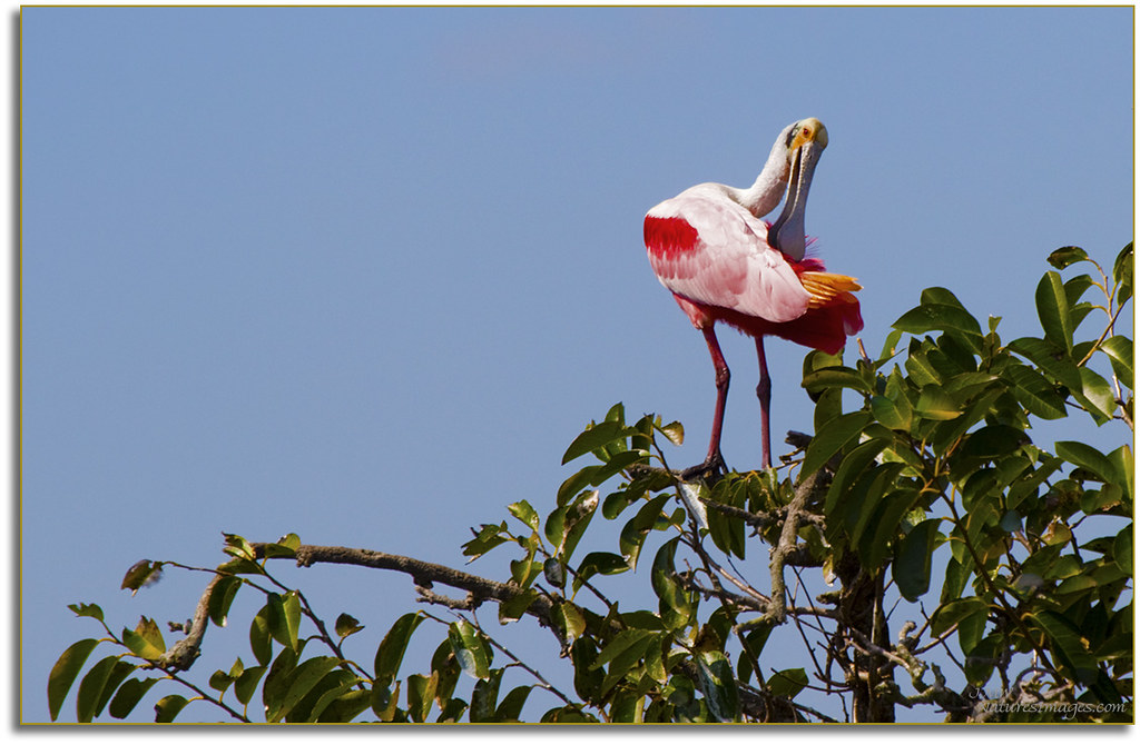
Spoonbill 4, River Rookeries
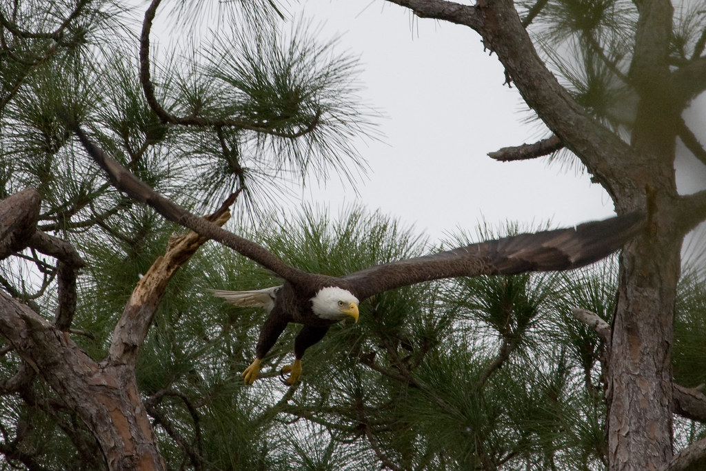
Eagle in flight

Baby-Wood-Stork-3

Cowboy Bart

_D2_3068.jpg
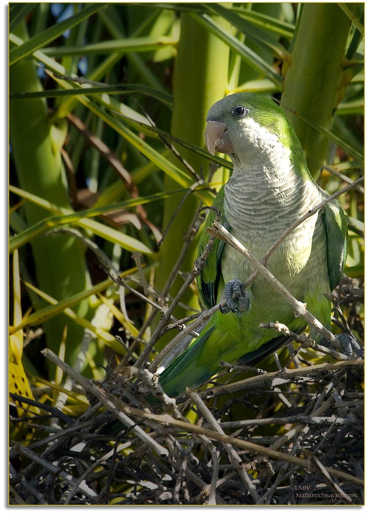
Monk Parakeet 2

Caladium Leaf 2
Post workout. 7/22/2010
Room with a view. 6/18/2010
Harbor Heights Park - Shoreline

Peace River
Peace River in March
Wish you were here. 7/27/2010
Time to get up #oggl #hipstamatic

hh 118

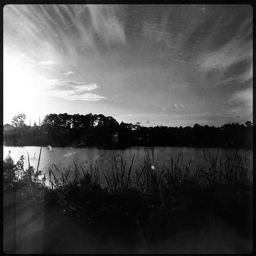
Sunset. Florida.
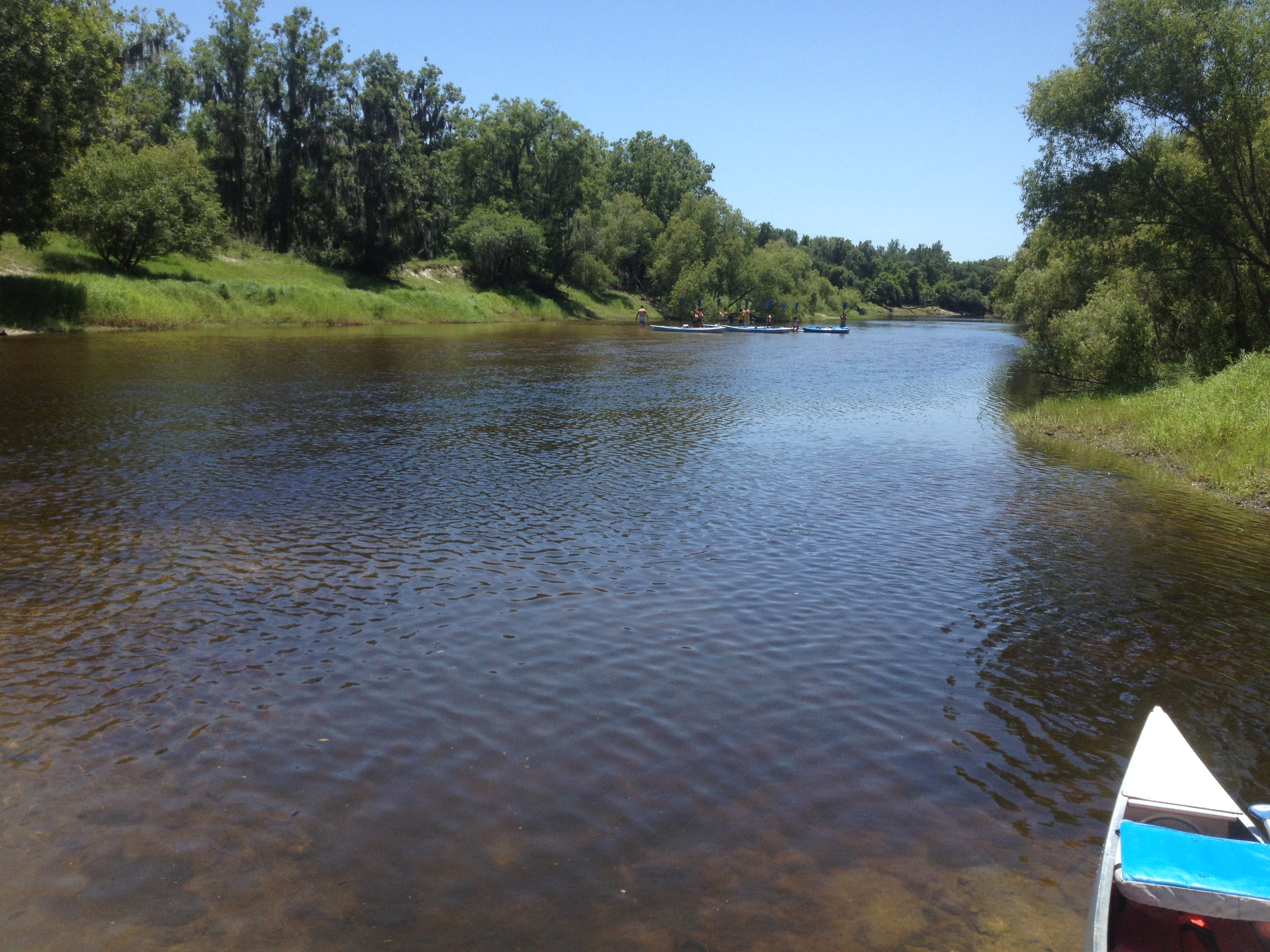
peace river 2

#photo #tagged to Team #airboataddicts by and go #follow @boggy_creek_airboat_rides What a #sunset via the #airboat #blowboat in #kissimmee #kissimmeechainoflakes to get #outdoors to #ridetoslide to go #aiboatin #nature #wildlife to live this #airboatlife
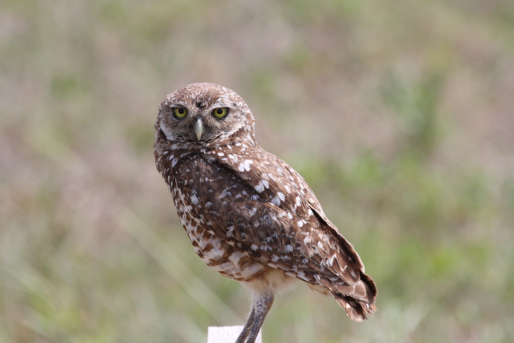
Burrowing Owl

Peace River landscape with clouds, Peace River, Florida
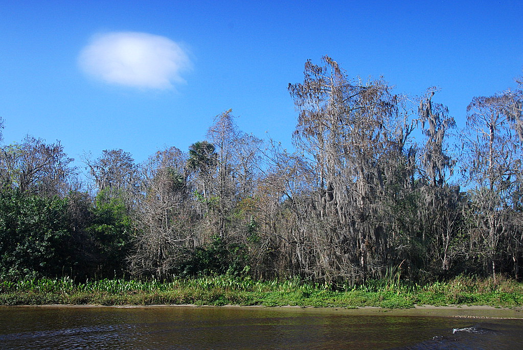
Peace River Landscape, Florida
Harbor Heights Park - River water
Peace River Landscape, Florida
Burrowing Owl
Sunset in Florida
Babcock Wildlife Florida
Harbor Heights Park - Thomas taking pictures

Burrowing Owl
GPS-Test 2
DeSoto Co Ranchland
Topographic Map of SW Hull Ave, Arcadia, FL, USA
Find elevation by address:

Places near SW Hull Ave, Arcadia, FL, USA:
8874 Sw Hampshire Ave
US-17, Arcadia, FL, USA
Fort Ogden
6765 County Rd 769
6765 County Rd 769
6765 County Rd 769
6765 County Rd 769
9099 Southwest Start Center Street
7713 Sw Vineyard Ter
6816 County Rd 769
6865 County Rd 769
9300 Sw Fort Winder St
6917 County Rd 769
6982 County Rd 769
6971 County Rd 769
7107 County Rd 769
6961 County Rd 769
7153 38th St
3288 Wildcat Run Rd
9099 County Rd 769
Recent Searches:
- Elevation of 6 Rue Jules Ferry, Beausoleil, France
- Elevation of Sattva Horizon, 4JC6+G9P, Vinayak Nagar, Kattigenahalli, Bengaluru, Karnataka, India
- Elevation of Great Brook Sports, Gold Star Hwy, Groton, CT, USA
- Elevation of 10 Mountain Laurels Dr, Nashua, NH, USA
- Elevation of 16 Gilboa Ln, Nashua, NH, USA
- Elevation of Laurel Rd, Townsend, TN, USA
- Elevation of 3 Nestling Wood Dr, Long Valley, NJ, USA
- Elevation of Ilungu, Tanzania
- Elevation of Yellow Springs Road, Yellow Springs Rd, Chester Springs, PA, USA
- Elevation of Rēzekne Municipality, Latvia