Elevation of County Rd, Arcadia, FL, USA
Location: United States > Florida > Desoto County > Arcadia >
Longitude: -82.00156
Latitude: 27.091271
Elevation: 7m / 23feet
Barometric Pressure: 101KPa
Elevation Map:
Satellite Map:
Related Photos:

Hunter Creek Rookery Sunset 2

Caladium Leaf 2

Baby-Yellow Crown Night Herons 5

Christmas Card 2010
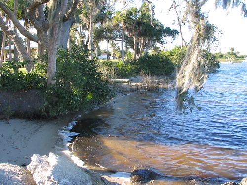
Harbor Heights Park - Shore alternate view
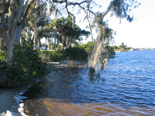
Harbor Heights Park - Shore alternate view

Monk Parakeet 2

Home Sweet Home 2

Immature-Black-Crown-Night

Home Sweet Home
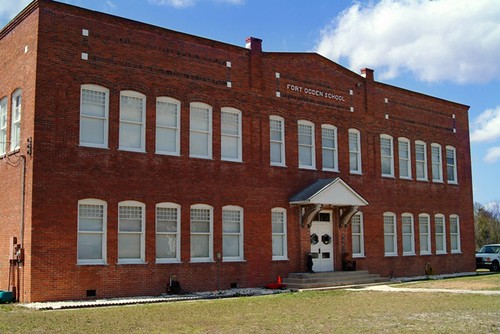
Fort Ogden School in the Ghost Town of Fort Ogden
Polarising Bird

Post workout. 7/22/2010

Spoonbill 4, River Rookeries
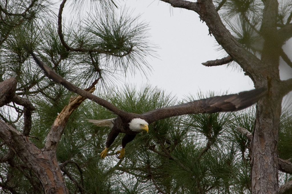
Eagle in flight

Room with a view. 6/18/2010

Charlotte County Fire/EMS Station 1 - alternate view
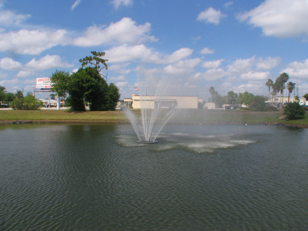
Schoolhouse Square Fountain
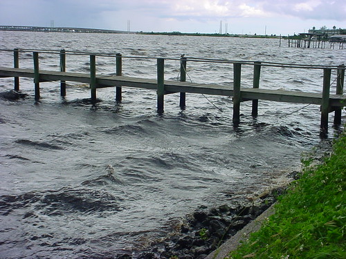
Dock in the storm

Baby-Wood-Stork-3
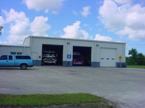
Charlotte County Fire & EMS Station 6 - front view

Time to get up #oggl #hipstamatic

Peace River
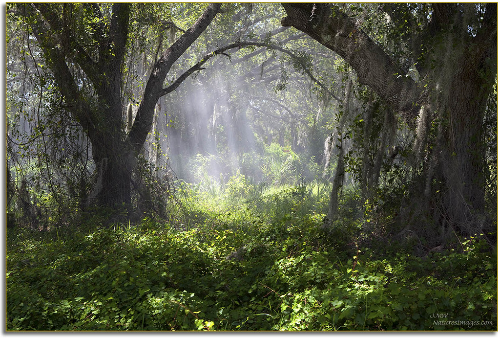
Sun Rays
Wish you were here. 7/27/2010

hh 118

Punta Gorda

Morning Glory

Elks 2-15-2013 Looking west back toward Charlotte Harbor
Sunset over lake

Sunset. Florida.

Evening cruise

#photo #tagged to Team #airboataddicts by and go #follow @boggy_creek_airboat_rides What a #sunset via the #airboat #blowboat in #kissimmee #kissimmeechainoflakes to get #outdoors to #ridetoslide to go #aiboatin #nature #wildlife to live this #airboatlife

4 baseball fields, 2 tennis courts... no on here. #ghosttown

Burrowing Owl

Peace River landscape with clouds, Peace River, Florida
Peace River Landscape, Florida
Harbor Heights Park - River water

Burrowing Owl

Sunset in Florida
Topographic Map of County Rd, Arcadia, FL, USA
Find elevation by address:

Places near County Rd, Arcadia, FL, USA:
9099 County Rd 769
9770 County Rd 769
7713 Sw Vineyard Ter
9990 County Rd 769
9099 Southwest Start Center Street
7107 County Rd 769
6961 County Rd 769
6982 County Rd 769
9300 Sw Fort Winder St
6971 County Rd 769
6917 County Rd 769
6865 County Rd 769
6816 County Rd 769
6765 County Rd 769
6765 County Rd 769
6765 County Rd 769
6765 County Rd 769
8874 Sw Hampshire Ave
Southwest B R Ranch Road
Fort Ogden
Recent Searches:
- Elevation of Corso Fratelli Cairoli, 35, Macerata MC, Italy
- Elevation of Tallevast Rd, Sarasota, FL, USA
- Elevation of 4th St E, Sonoma, CA, USA
- Elevation of Black Hollow Rd, Pennsdale, PA, USA
- Elevation of Oakland Ave, Williamsport, PA, USA
- Elevation of Pedrógão Grande, Portugal
- Elevation of Klee Dr, Martinsburg, WV, USA
- Elevation of Via Roma, Pieranica CR, Italy
- Elevation of Tavkvetili Mountain, Georgia
- Elevation of Hartfords Bluff Cir, Mt Pleasant, SC, USA