Elevation of Fort McCoy, FL, USA
Location: United States > Florida > Marion County >
Longitude: -81.967032
Latitude: 29.3649734
Elevation: 24m / 79feet
Barometric Pressure: 101KPa
Elevation Map:
Satellite Map:
Related Photos:

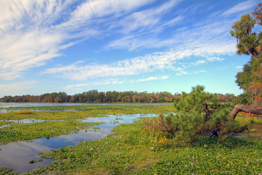
Grassy Pond

Eureka East Boat launch 23 Dec 2014 4
Eaton Lake

Eureka East Boat launch 23 Dec 2014 3
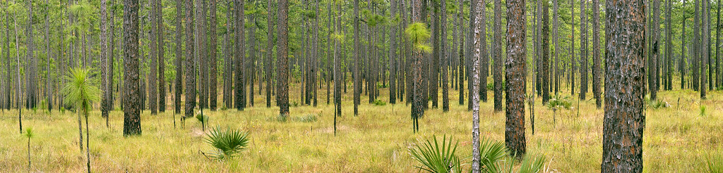
0178_PinePanCrop_15x60.jpg

Lake Eaton Loop Trail 16 Feb 2015 3
Grassy Pond
Grassy Pond

Eureka East Boat launch 23 Dec 2014 2

Grassy Pond

Street Scene, Citra, Florida
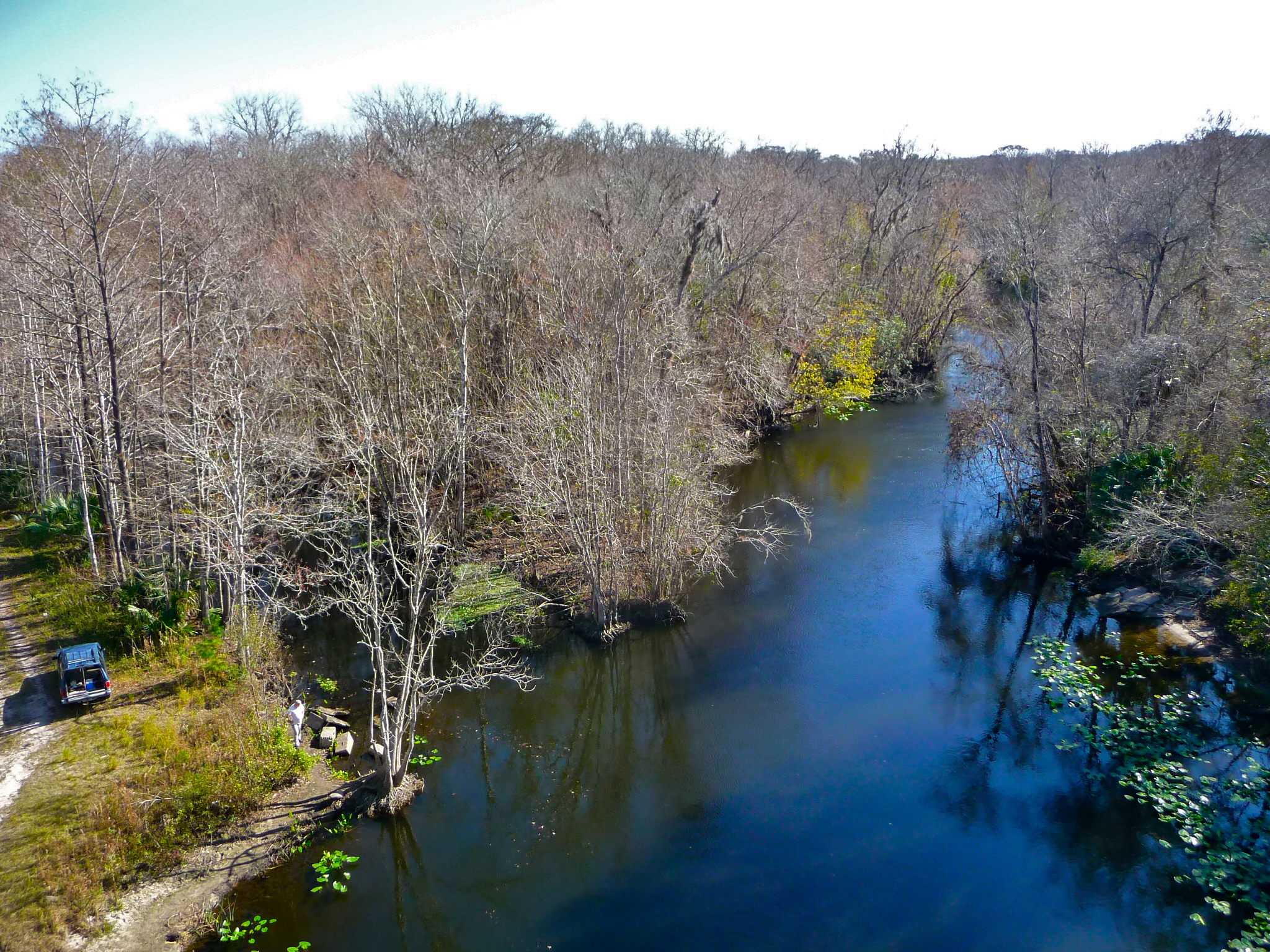
The Ocklawaha River
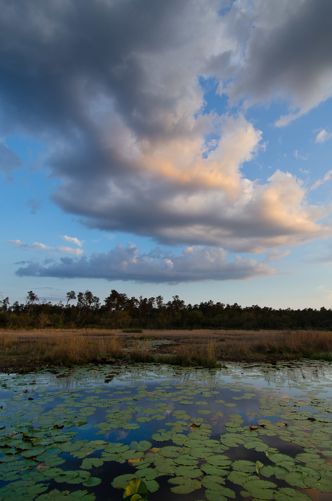
Grassy Pond
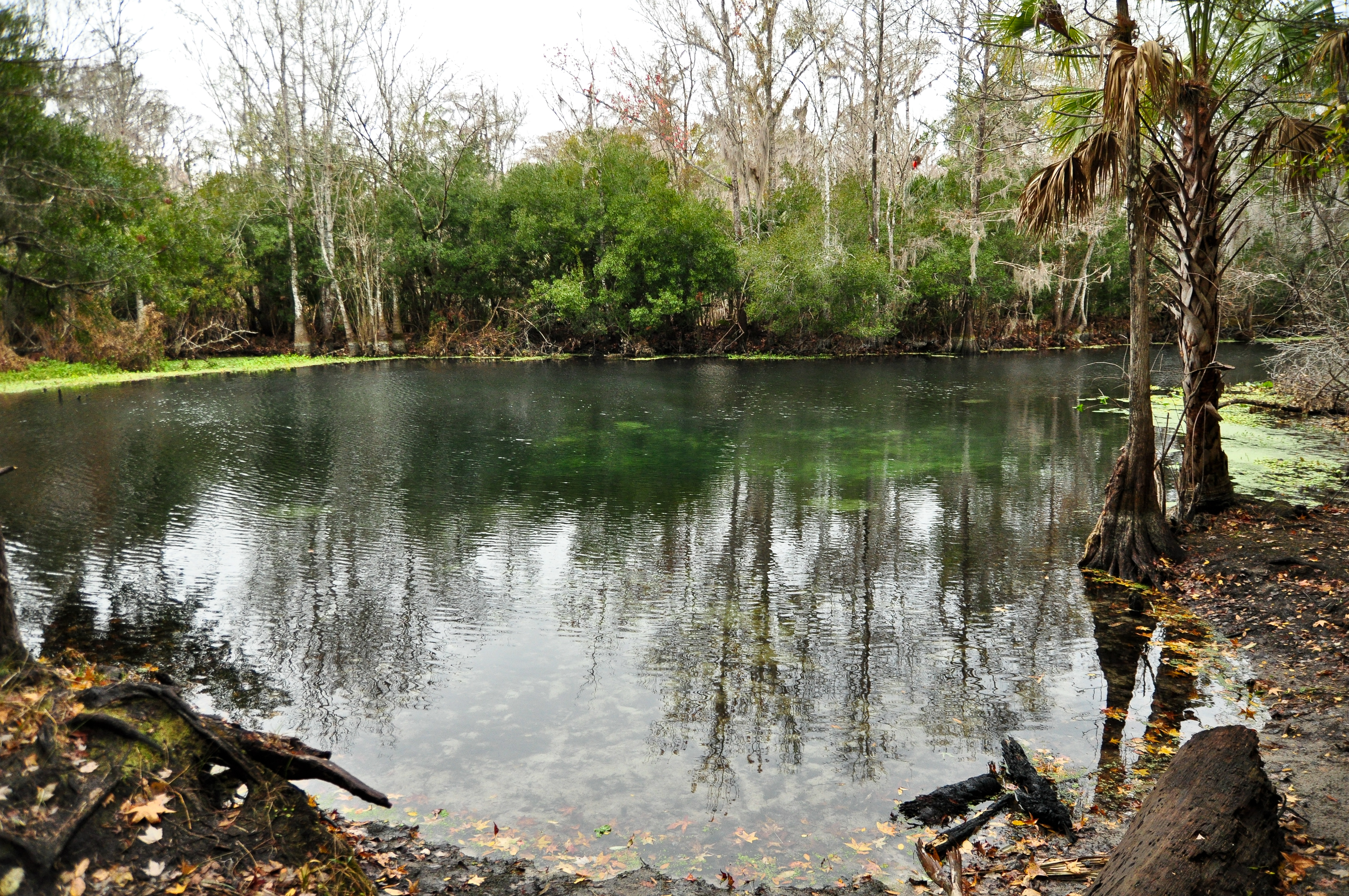
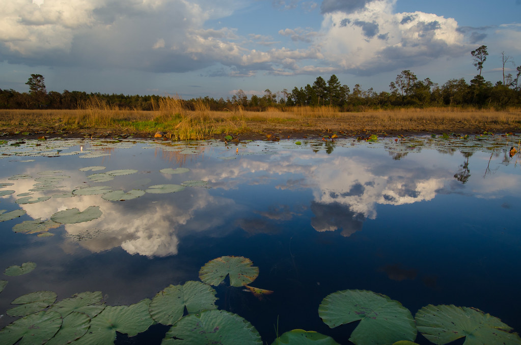
Wells Landing Spring

Orange Creek Restoration Area

Lake Eaton Loop Trail 16 Feb 2015 7

Shack on the Trail

Eureka East Boat launch 23 Dec 2014 1

The Path to the Spring
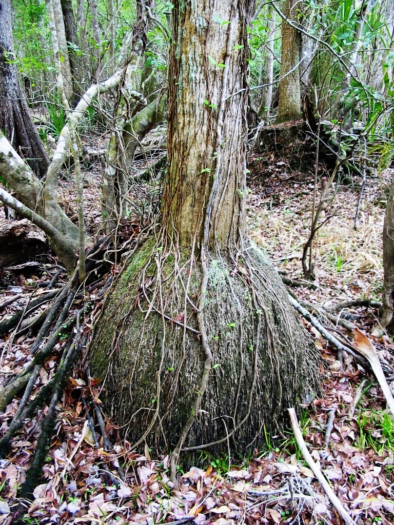
Swollen palm base in river swamp
Topographic Map of Fort McCoy, FL, USA
Find elevation by address:

Places in Fort McCoy, FL, USA:
NE Hwy, Fort McCoy, FL, USA
NE RD Avenue Rd, Fort McCoy, FL, USA
NE th St, Fort McCoy, FL, USA
Northeast 157th Place
NE 91st Terrace, Fort McCoy, FL, USA
E Hwy, Fort McCoy, FL, USA
NE st Ln, Fort McCoy, FL, USA
State Hwy 21, Fort McCoy, FL, USA
NE th Ave, Fort McCoy, FL, USA
NE th Avenue Rd, Fort McCoy, FL, USA
Orange Springs
Rodman Reservoir
248th Avenue
Hopkins Prairie
Northeast Highway 315
Places near Fort McCoy, FL, USA:
NE Hwy, Fort McCoy, FL, USA
Northeast Highway 315
14285 Ne 114th Avenue Rd
Northeast 157th Place
15318 Ne 137th Ct
NE th Avenue Rd, Fort McCoy, FL, USA
12550 Ne 212th Street Rd
19545 Ne 74th Ct
16249 Ne 35th Avenue Rd
4888 Ne 175th Street Rd
22336 Ne 112th Terrace
4335 E Hwy 316
4473 Ne 167th Pl
23054 Ne Hwy 315
3290 Ne 163rd Pl
State Hwy 21, Fort McCoy, FL, USA
Orange Springs
13680 Ne 247th Ln
Citra
US-, Citra, FL, USA
Recent Searches:
- Elevation of Corso Fratelli Cairoli, 35, Macerata MC, Italy
- Elevation of Tallevast Rd, Sarasota, FL, USA
- Elevation of 4th St E, Sonoma, CA, USA
- Elevation of Black Hollow Rd, Pennsdale, PA, USA
- Elevation of Oakland Ave, Williamsport, PA, USA
- Elevation of Pedrógão Grande, Portugal
- Elevation of Klee Dr, Martinsburg, WV, USA
- Elevation of Via Roma, Pieranica CR, Italy
- Elevation of Tavkvetili Mountain, Georgia
- Elevation of Hartfords Bluff Cir, Mt Pleasant, SC, USA