Elevation of Northeast Highway, NE Hwy, Florida, USA
Location: United States > Florida > Marion County > Fort Mccoy >
Longitude: -81.967413
Latitude: 29.3660591
Elevation: 23m / 75feet
Barometric Pressure: 101KPa
Elevation Map:
Satellite Map:
Related Photos:

Street Scene, Citra, Florida
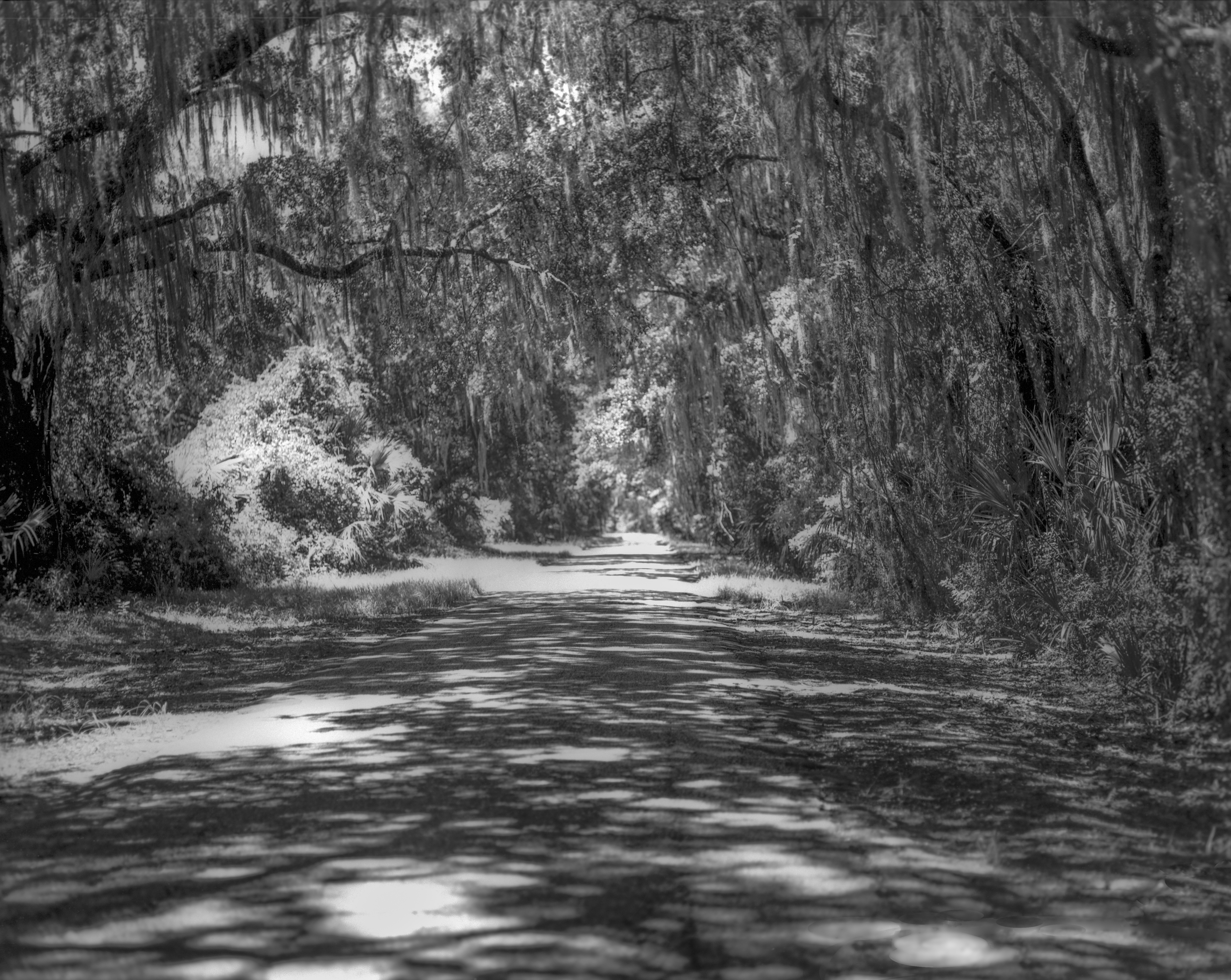
Canopy Road

0178_PinePanCrop_15x60.jpg

Grassy Pond

Grassy Pond

Grassy Pond

Morning Mist
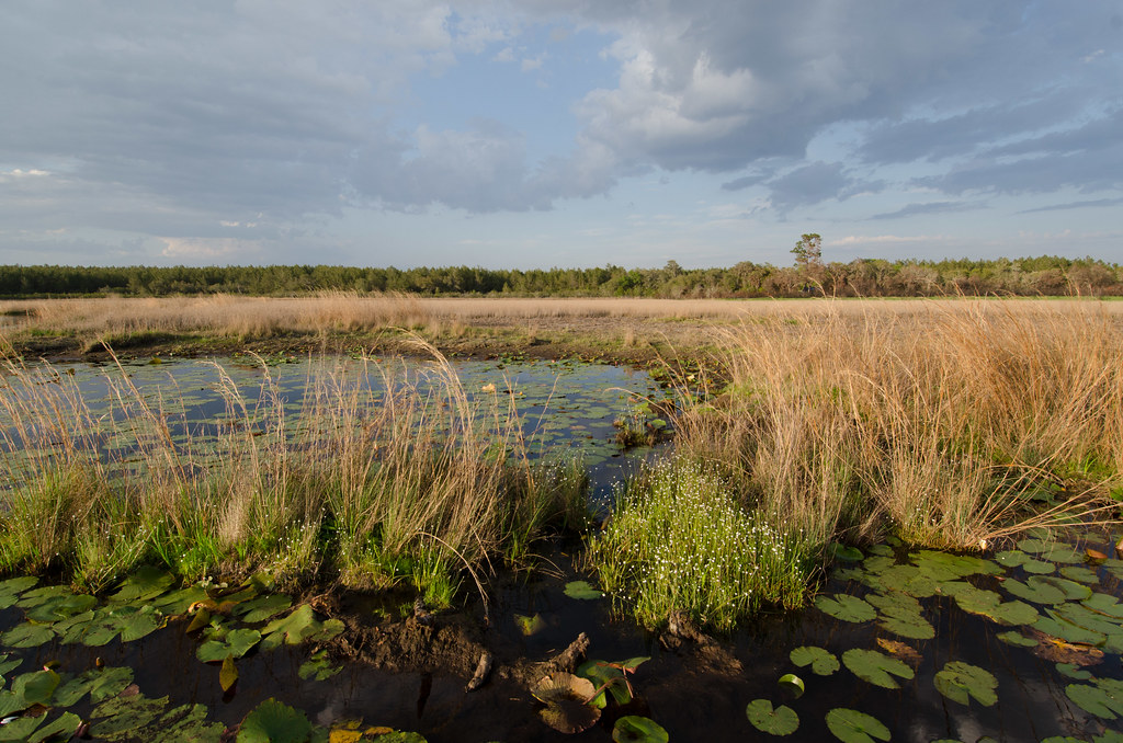
Grassy Pond

Grassy Pond

The Ocklawaha River

Wells Landing Spring

Swollen palm base in river swamp

Eaton Lake
Topographic Map of Northeast Highway, NE Hwy, Florida, USA
Find elevation by address:

Places near Northeast Highway, NE Hwy, Florida, USA:
NE Hwy, Fort McCoy, FL, USA
Fort Mccoy
14285 Ne 114th Avenue Rd
Northeast 157th Place
15318 Ne 137th Ct
NE th Avenue Rd, Fort McCoy, FL, USA
12550 Ne 212th Street Rd
19545 Ne 74th Ct
16249 Ne 35th Avenue Rd
4888 Ne 175th Street Rd
22336 Ne 112th Terrace
4335 E Hwy 316
4473 Ne 167th Pl
23054 Ne Hwy 315
3290 Ne 163rd Pl
State Hwy 21, Fort McCoy, FL, USA
Orange Springs
13680 Ne 247th Ln
Citra
US-, Citra, FL, USA
Recent Searches:
- Elevation of Elwyn Dr, Roanoke Rapids, NC, USA
- Elevation of Congressional Dr, Stevensville, MD, USA
- Elevation of Bellview Rd, McLean, VA, USA
- Elevation of Stage Island Rd, Chatham, MA, USA
- Elevation of Shibuya Scramble Crossing, 21 Udagawacho, Shibuya City, Tokyo -, Japan
- Elevation of Jadagoniai, Kaunas District Municipality, Lithuania
- Elevation of Pagonija rock, Kranto 7-oji g. 8"N, Kaunas, Lithuania
- Elevation of Co Rd 87, Jamestown, CO, USA
- Elevation of Tenjo, Cundinamarca, Colombia
- Elevation of Côte-des-Neiges, Montreal, QC H4A 3J6, Canada