Elevation of E Hwy, Fort McCoy, FL, USA
Location: United States > Florida > Marion County > Fort Mccoy >
Longitude: -81.904585
Latitude: 29.3715491
Elevation: 17m / 56feet
Barometric Pressure: 101KPa
Elevation Map:
Satellite Map:
Related Photos:
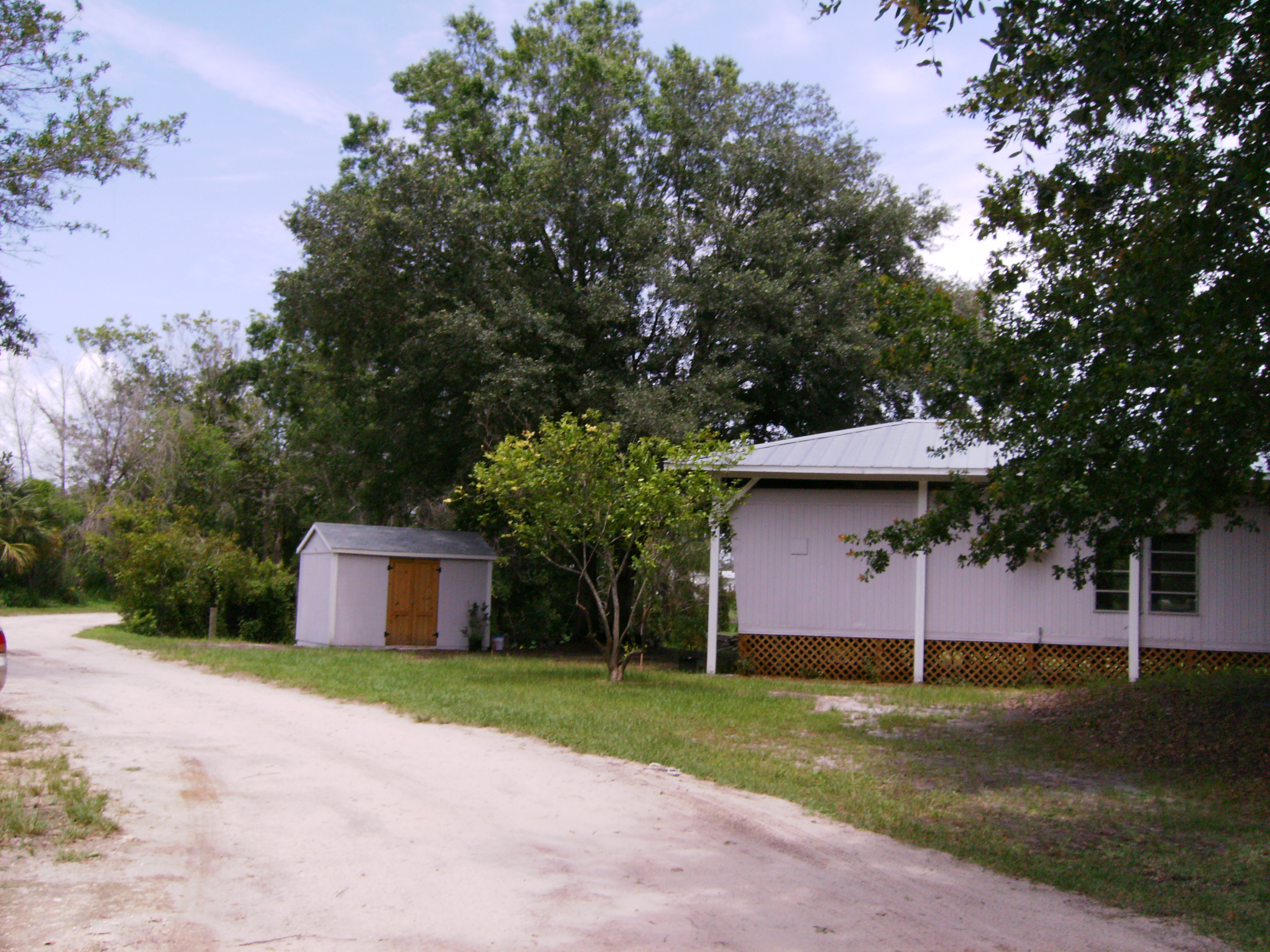
Lake Kerr Key Trailer

Lake Oklawaha RV Park 3 Dec 2014 4

Eureka East Boat launch 23 Dec 2014 4

Project 365- 351-365
Eaton Lake

Lake Oklawaha RV Park 4 Dec 2014 31

Eureka East Boat launch 23 Dec 2014 3

Lake Oklawaha RV Park 4 Dec 2014 16

Eureka East Boat launch 23 Dec 2014 2

Lake Oklawaha RV Park 3 Dec 2014 1
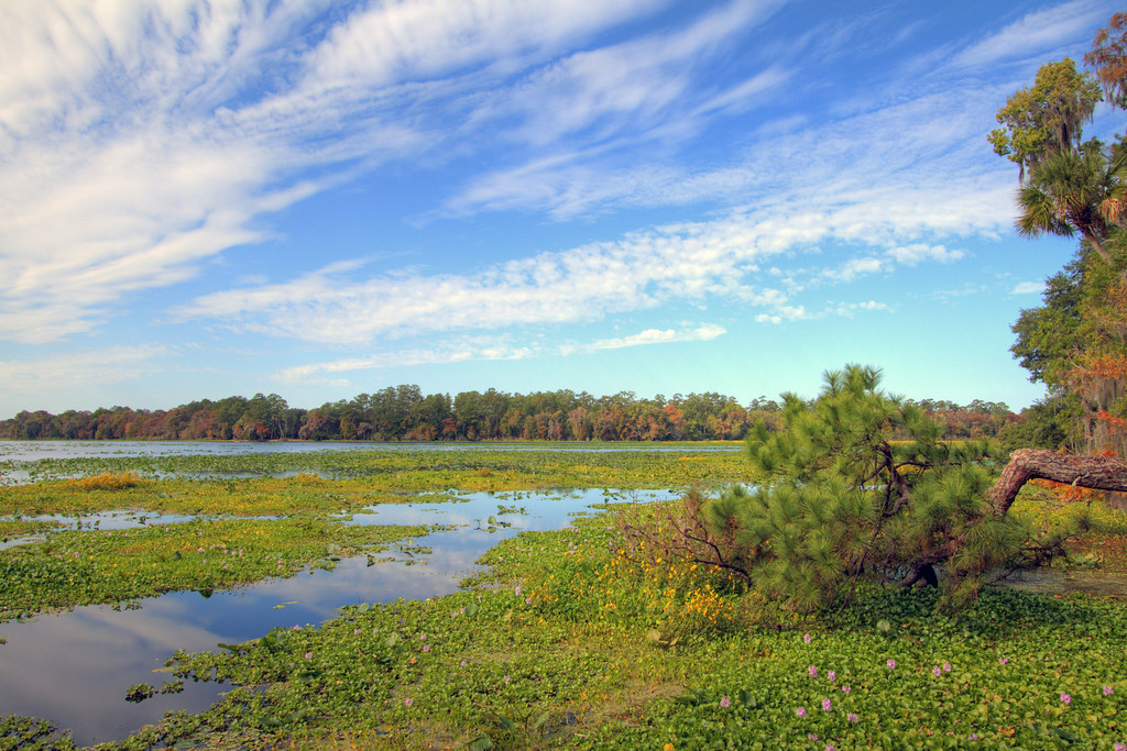
Lake Ocklawaha or Rodman Reservoir
0178_PinePanCrop_15x60.jpg

Grassy Pond

Florida Trail Ocala NF
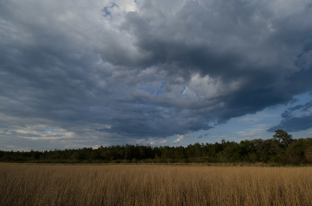
Grassy Pond
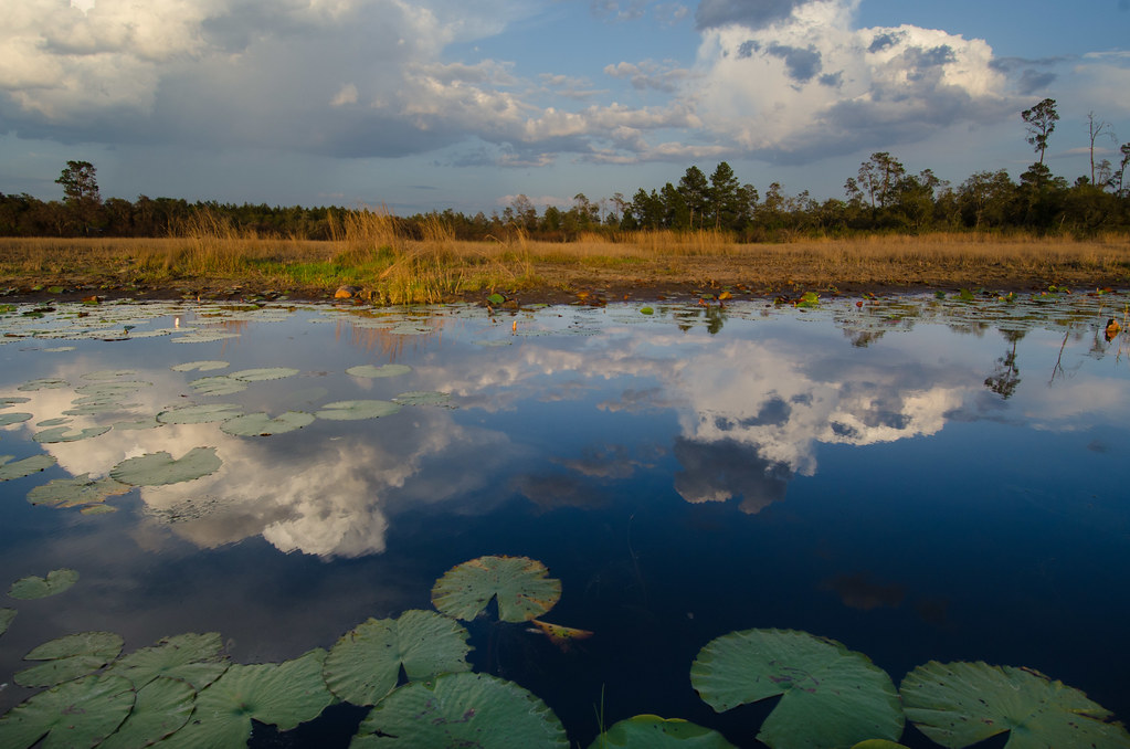
Grassy Pond

Grassy Pond
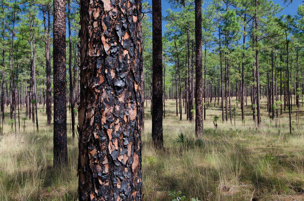
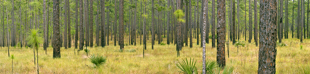
Ocala NF
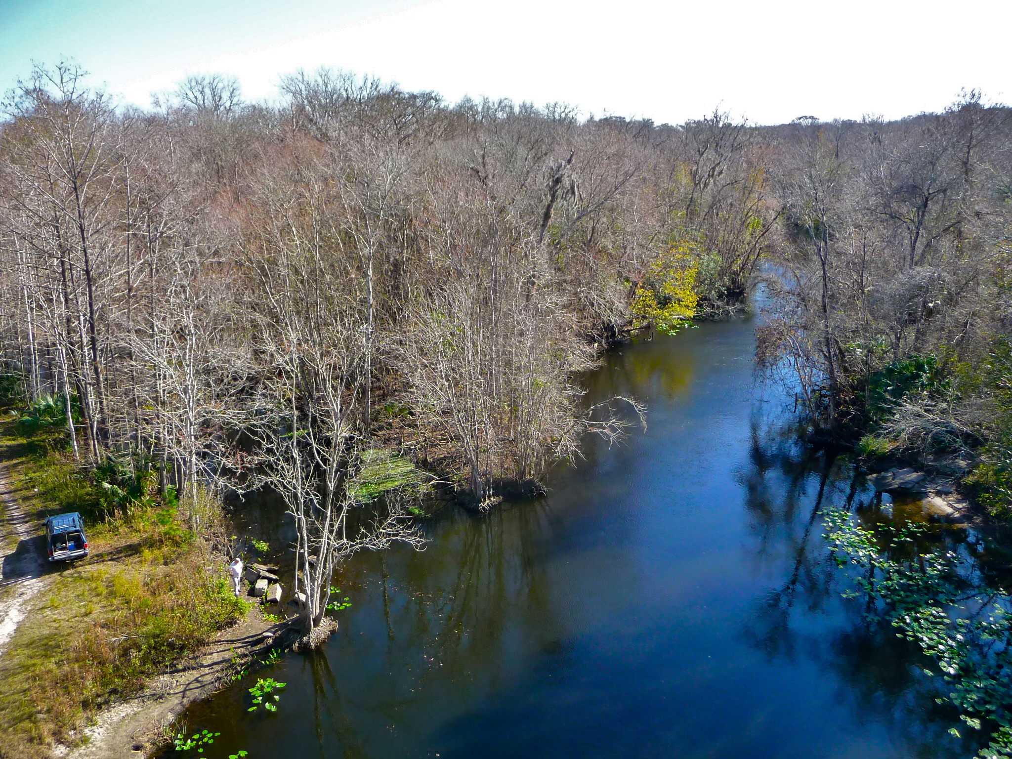
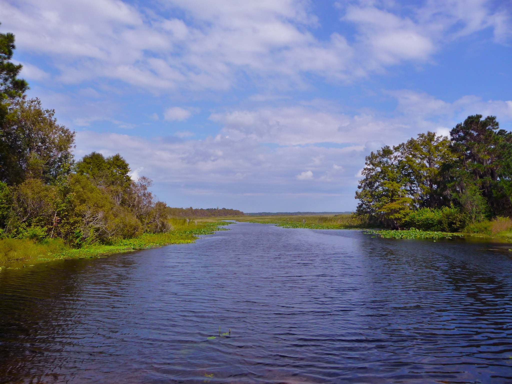
The Ocklawaha River
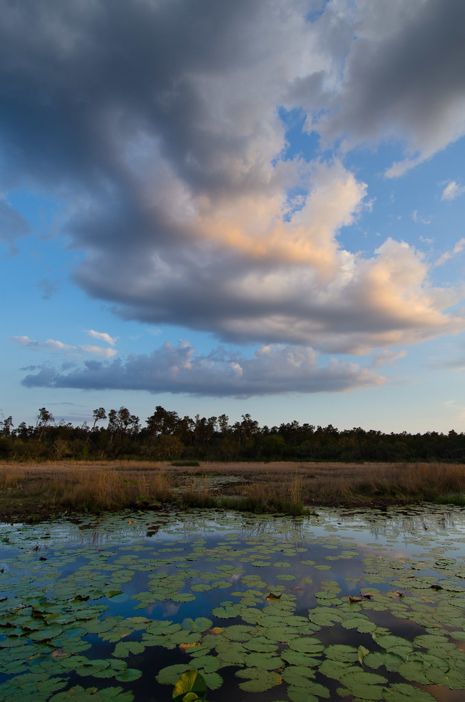
Grassy Pond
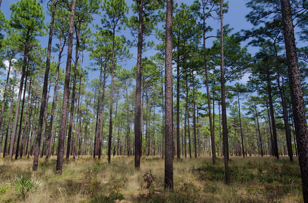
Florida Trail Ocala NF
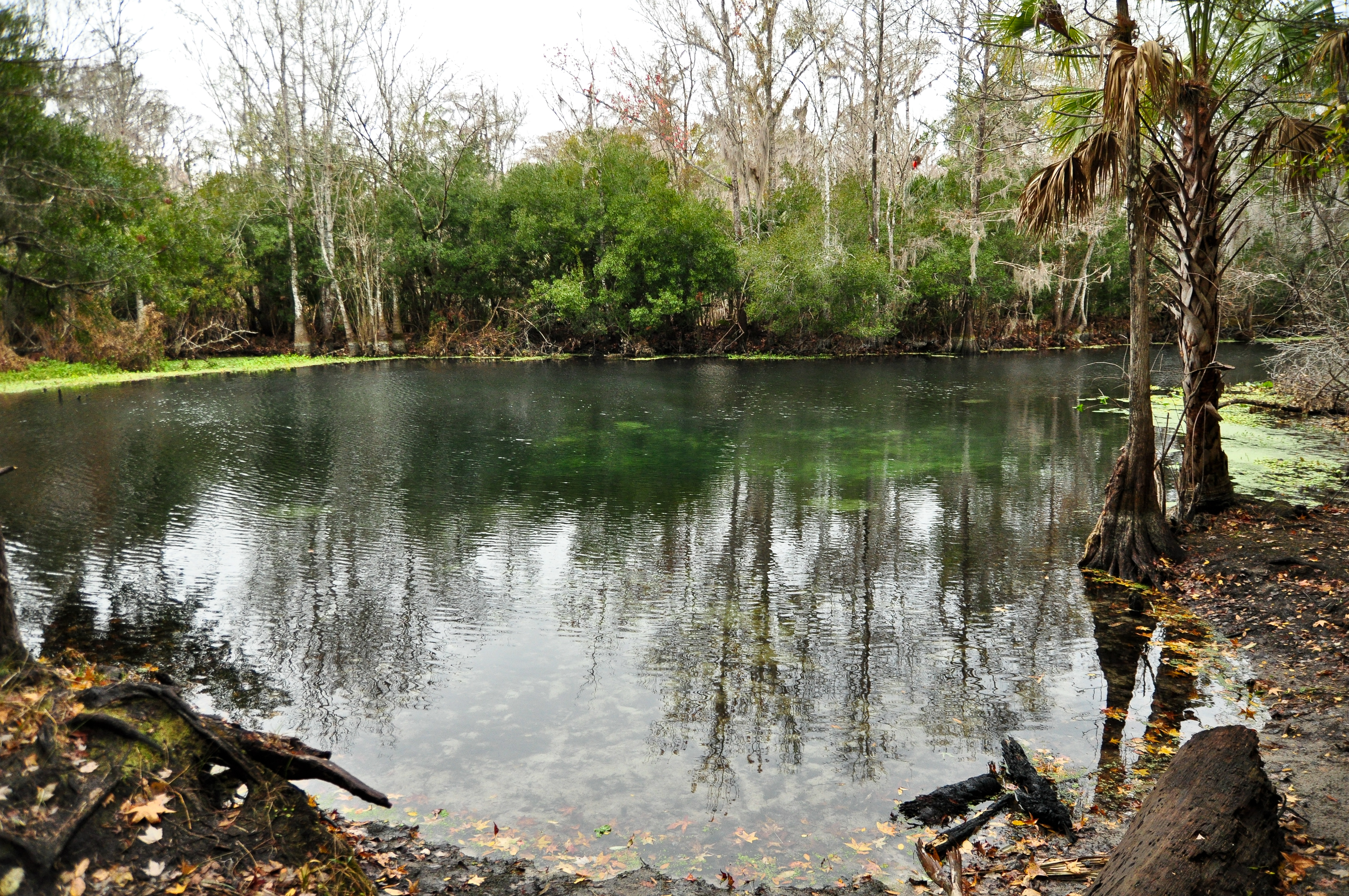
Wells Landing Spring
Topographic Map of E Hwy, Fort McCoy, FL, USA
Find elevation by address:

Places near E Hwy, Fort McCoy, FL, USA:
Ocklawaha Canoe Outpost & Resort
15060 Ne 144th St
NE th Ave, Fort McCoy, FL, USA
14580 Ne 210th Court Rd
NE st Ln, Fort McCoy, FL, USA
NE RD Avenue Rd, Fort McCoy, FL, USA
NE th St, Fort McCoy, FL, USA
22850 E Hwy 316
Lariat Dr, Interlachen, FL, USA
15275 Ne 244th Ave
23900 Ne 190th St
Northeast 248th Avenue Road
248th Avenue
21260 Ne 146th Ln
24880 Ne 187th Ln
Black Hawk Trail, Fort McCoy, FL, USA
Ramona Rd, Crescent City, FL, USA
1027 Front St
85 Sportsman Dr
Elm St, Welaka, FL, USA
Recent Searches:
- Elevation of Corso Fratelli Cairoli, 35, Macerata MC, Italy
- Elevation of Tallevast Rd, Sarasota, FL, USA
- Elevation of 4th St E, Sonoma, CA, USA
- Elevation of Black Hollow Rd, Pennsdale, PA, USA
- Elevation of Oakland Ave, Williamsport, PA, USA
- Elevation of Pedrógão Grande, Portugal
- Elevation of Klee Dr, Martinsburg, WV, USA
- Elevation of Via Roma, Pieranica CR, Italy
- Elevation of Tavkvetili Mountain, Georgia
- Elevation of Hartfords Bluff Cir, Mt Pleasant, SC, USA