Elevation of Fords Colony Drive, Fords Colony Dr, Powhatan, VA, USA

Location: United States > Virginia > Williamsburg >

Longitude: -76.779666

Latitude: 37.3061317

Elevation: 17m / 56feet

Barometric Pressure: 101KPa

Elevation Map:

elevation map of Fords Colony Drive, Fords Colony Dr, Powhatan, VA, USA

Satellite Map:

Satellite map of Fords Colony Drive, Fords Colony Dr, Powhatan, VA, USA

Related Photos:

canon rebel virginia tunnel canonrebel rebelxt 1001nights canonrebelxt eosrebel colonialparkway thirdday kamote rebelxti eos400d eosrebelxti kamoteus2003 kamoteus kaantabe91 ronmiguelrn kamote71
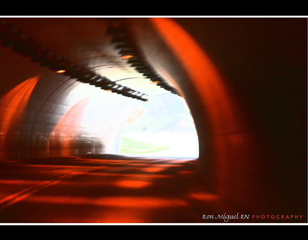
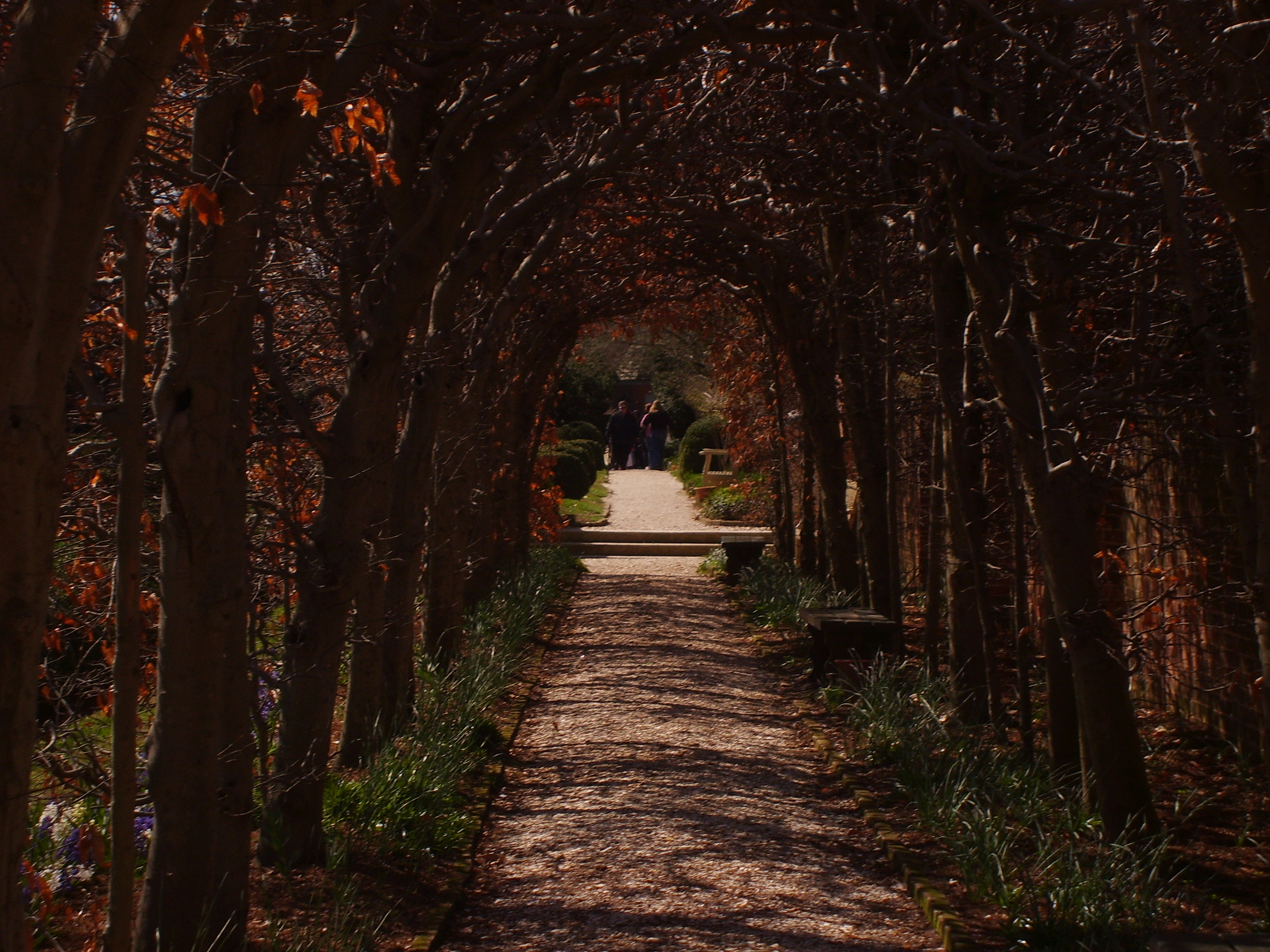
there's a light at the end of this tunnel... for you!
virginia williamsburg colonialwilliamsburg cwbuildings courthouses cwcourthouse cworiginal88 nrhp cwinterpreters majestictrees courthousemaple warmsunlight fallcolor fall november2010 november 2010 canon241054l
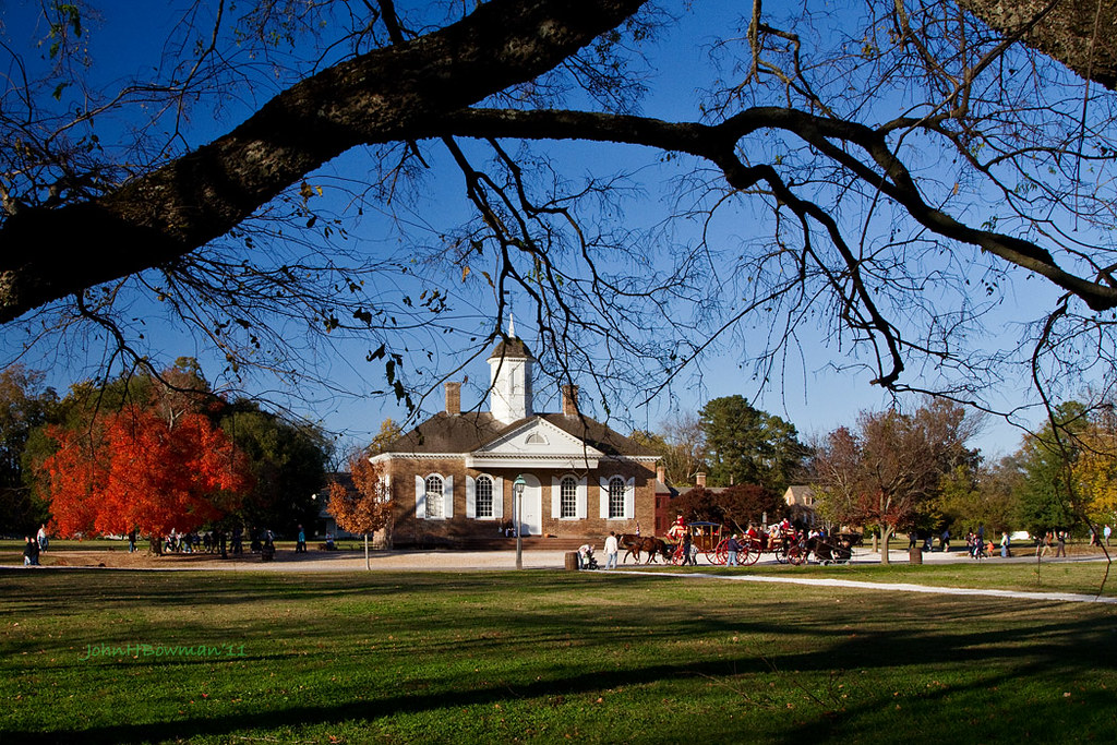
Williamsburg Courthouse - Fall
virginia williamsburg colonialwilliamsburg cwbuildings courthouses cwcourthouse cworiginal88 nrhp fallcolor courthousemaple latelight blueskies november2011 november 2011 canon241054l
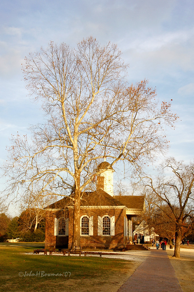
November Afternoon, Williamsburg
winter virginia december churches williamsburg colonialwilliamsburg 2009 latelight nationalhistoriclandmark greatskies nrhp brutonparishchurch colonialchurches episcopalchurches december2009 canon241054l cworiginal88 cwbuildings
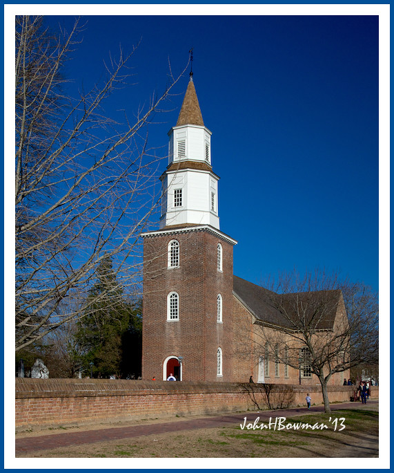
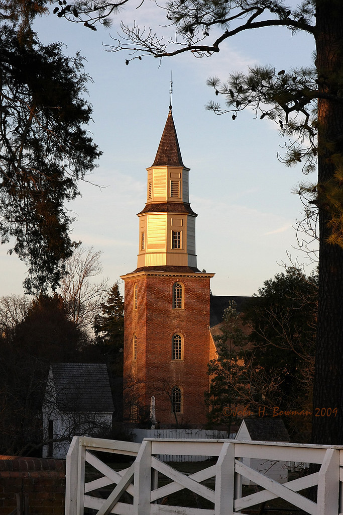
Bruton Parish Church - Late Afternoon Light
virginia williamsburg colonialwilliamsburg cwbuildings courthouses cwcourthouse cworiginal88 nrhp majestictrees warmsunlight december2007 december 2007 explore
Courthouse and Sycamore - Williamsburg
monster gardens virginia europe loops roller williamsburg arrow loch coaster ness busch interlocking
Loch Ness Monster's Interlocking Loops
virginia churches williamsburg colonialwilliamsburg blueskies february nationalhistoriclandmark nrhp 2013 brutonparishchurch colonialchurches canon241054l cworiginal88 cwbuildings february2013
Bruton Parish Church - Transition
sunset architecture williamsburg colonialwilliamsburg p hdr 18thcentury lightroom historicdistrict palacegreen nationalregisterofhistoricplaces cwf photomatix explored nrhp wythehouse brutonparishchurch cinnamonspresetsbrown elkanahdeanehouse district66000925 williamsburghistoricdistrict
Palace Green, Colonial Williamsburg - HDR
kingsmillresort water clouds crepuscular rays sunset
Kingsmill View
virginia churches williamsburg colonialwilliamsburg february 2009 nationalhistoriclandmark warmsunlight nrhp brutonparishchurch colonialchurches episcopalchurches february2009 canon241054l myphotographicmemory cworiginal88 cwbuildings
Williamsburg over the fences 1
animal cat geotagged virginia feline kitty tortoiseshell williamsburg colonialwilliamsburg vicenç xviiicentury dukeofgloucesterstreet nikond80 feliú seaall tamron18270 sabreur76 vicençfeliú seaall2010 williamdukeofgloucester geo:lat=37271468 geo:lon=76697427
Ms. Kitty
york travel creek river landscape virginia nikon sigma va 1020 hdr taskinas bybilldickinsonskynoircom
Low tide
colonialwilliamsburg virginia gardenmaze garden governorspalace green puzzle history williamsburgvirginia historicwilliamsburg springtime springinvirginia
Historic puzzle
ringexcellence
Looking For Dad
morning autumn fall leaves fog architecture virginia foggy colonialwilliamsburg cw dogstreet dukeofgloucesterstreet explored yip2009
Another Foggy Morning - YIP - Nov. 9, 2009
real estate waterfront views plantation williamsburg riverfront mansion jamesriver chickahominy
dock view
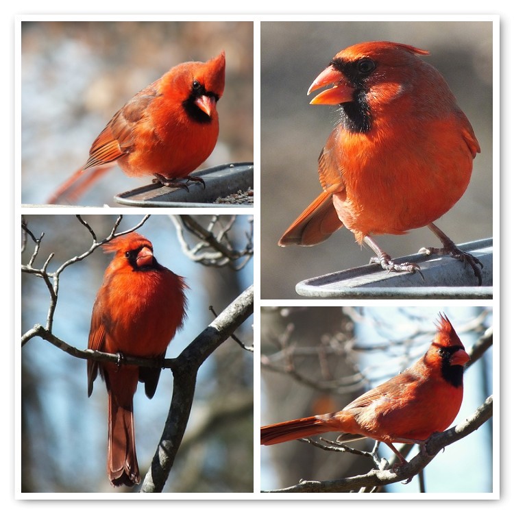
Male Northern Cardinal Portraits
bridge night virginia nikon gimp tunnel williamsburg hdr luminance qtpfsgui d7100 nikkor18105mmvr
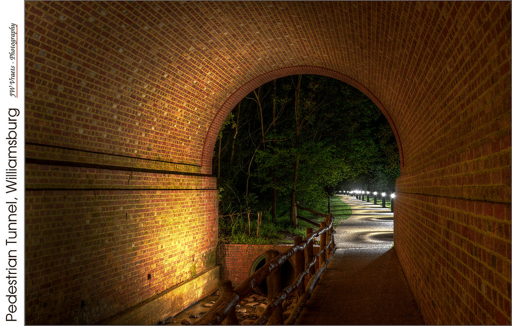
Pedestrian Tunnel, Williamsburg – (HDR – Blended)
uploaded:by=flickrmobile flickriosapp:filter=nofilter
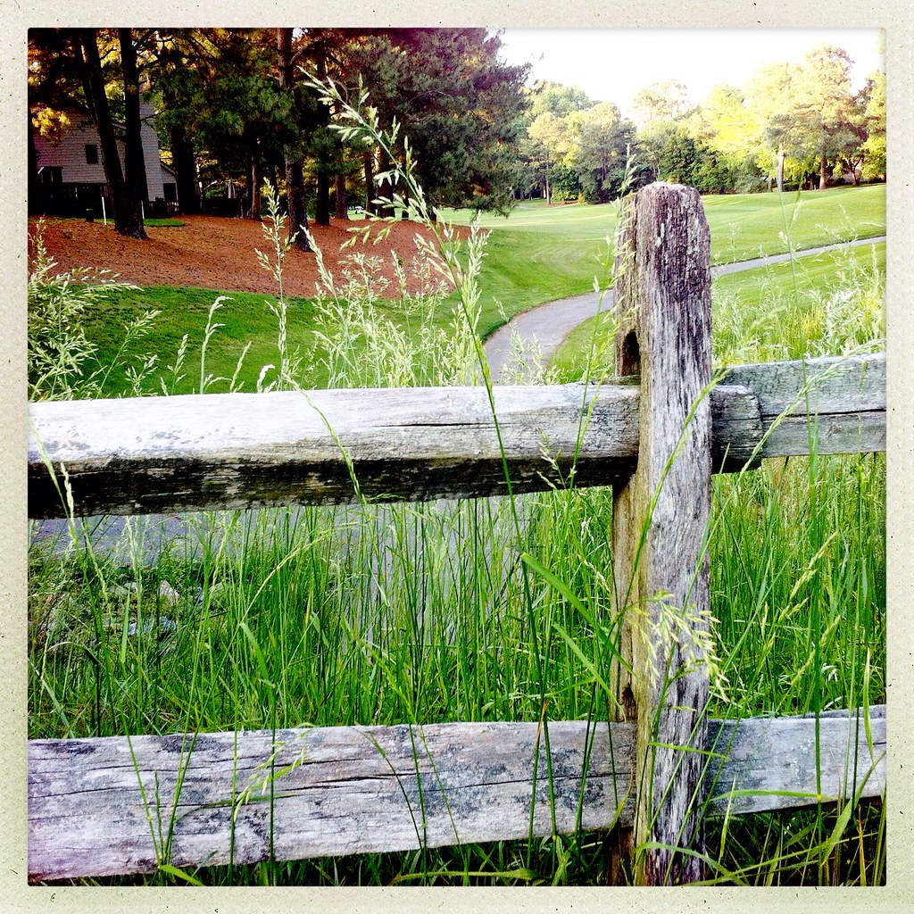
Another View of the Golf Course
square squareformat iphoneography instagramapp uploaded:by=instagram foursquare:venue=4d94d05eca3f6ea8f68fd234
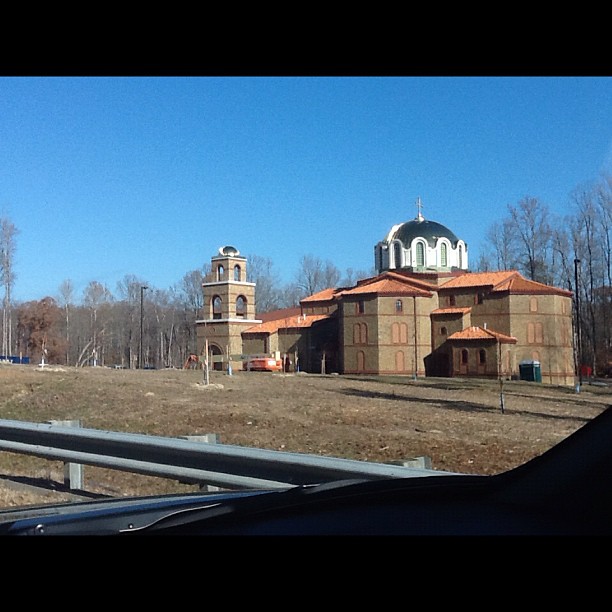
another view of the shiny new dome on the Williamsburg Hellenic Center
virginia december sunsets williamsburg 2009 december2009 canon241054l
. . . and the sun sets on 2009
road winter bw snow tree landscape day snowstorm january colonialwilliamsburg cw p top100 canopy lightroom historicarea explored yip2010
31 | 2010
virginia palace historic governor williamsburg maze
Maze / Colonial Williamsburg
colonialnationalhistoricalpark jamestownisland jamestown virginia photo digital autumn fall estuary marsh creek stream forest wetland blackandwhite
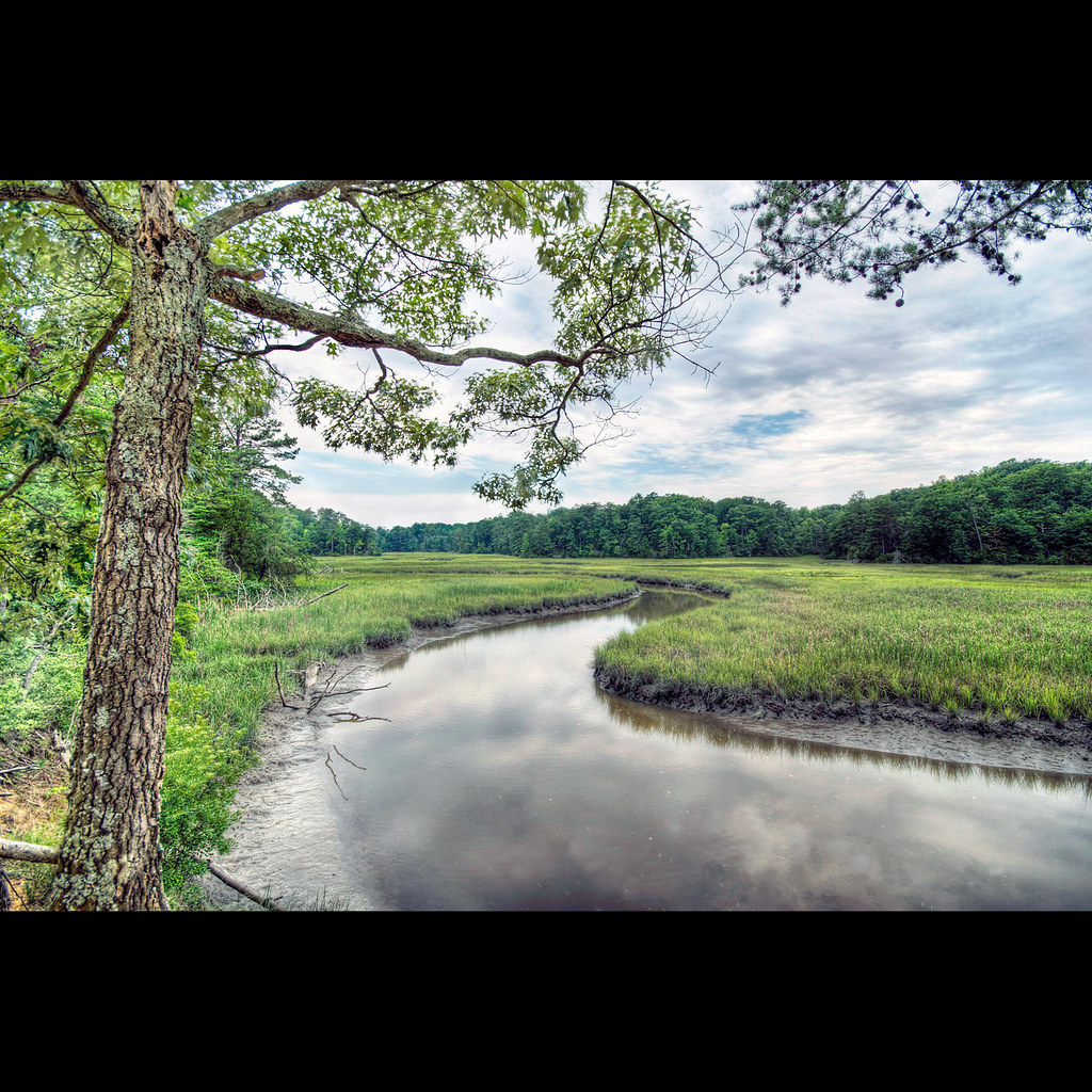
Marsh at Forest's Edge
virginia wetlands creeks jamesriver tidewater theolddominion
Saturday at Mill Creek
20170521_132547-2
bird ferry flying dock landing piling jamestown jamesriver tamron150600mm
Landing -- Double-crested Cormorants
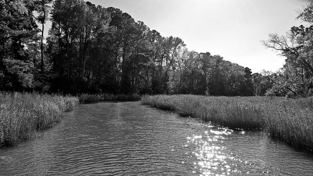
york sky creek river landscape virginia nikon noir sigma 1020 hdr waterscape taskinas bybilldickinsonskynoircom
Taskinas Creek
trees tree virginia williamsburg iphone pictureshow 365pix iphone4 iphoneography
i'm a loner dottie, a rebel
Revolutionary city, Williamsburg, VA
square squareformat iphoneography instagramapp xproii uploaded:by=instagram foursquare:venue=4bc9d12bfb84c9b6a1a41b3e
Great day for HDR
Neighborhood 028
square squareformat iphoneography instagramapp uploaded:by=instagram
Image created with #Snapseed
Sunsets 028
instagramapp square squareformat iphoneography uploaded:by=instagram skyline
⭐️????
IMG00175-20081230-1647
virginia williamsburg jamesriver
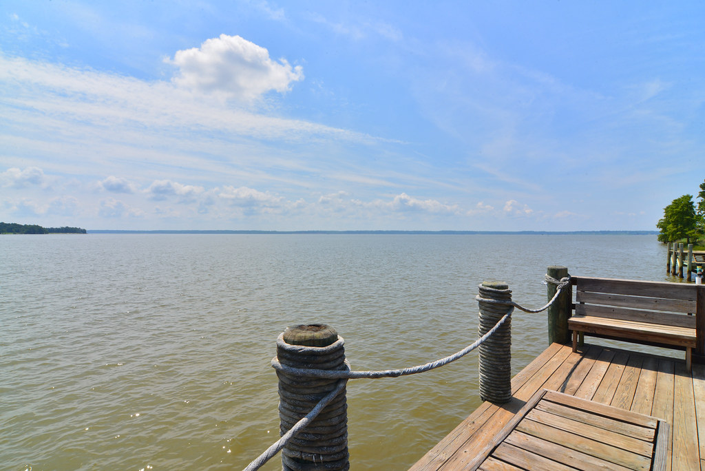
Kingsmill marina on the James River
park 120 film zeiss mediumformat virginia state kodak hasselblad filter nd williamsburg epson 60mm cb portra graduated gossen 160 distagon 501cm v700 yorkriver croaker digisix neutraldensity 3stop
croaker, va
myosonec newkentcounty virginia unitedstates diacundcreek explorerjohnsmith 1600s landscape johnsmith captainjohnsmith
Myosonec, New Kent County, VA
Queens Lake.
old flowers summer brick beautiful garden virginia spring bush historic williamsburg iphotorating0
S6000213.JPG