Elevation of Centerville Rd, Williamsburg, VA, USA
Location: United States > Virginia > Williamsburg >
Longitude: -76.789665
Latitude: 37.3259134
Elevation: -10000m / -32808feet
Barometric Pressure: 295KPa
Elevation Map:
Satellite Map:
Related Photos:

@45 mph into a tunnel... colonial parkway virginia

Low tide

Momentary Color
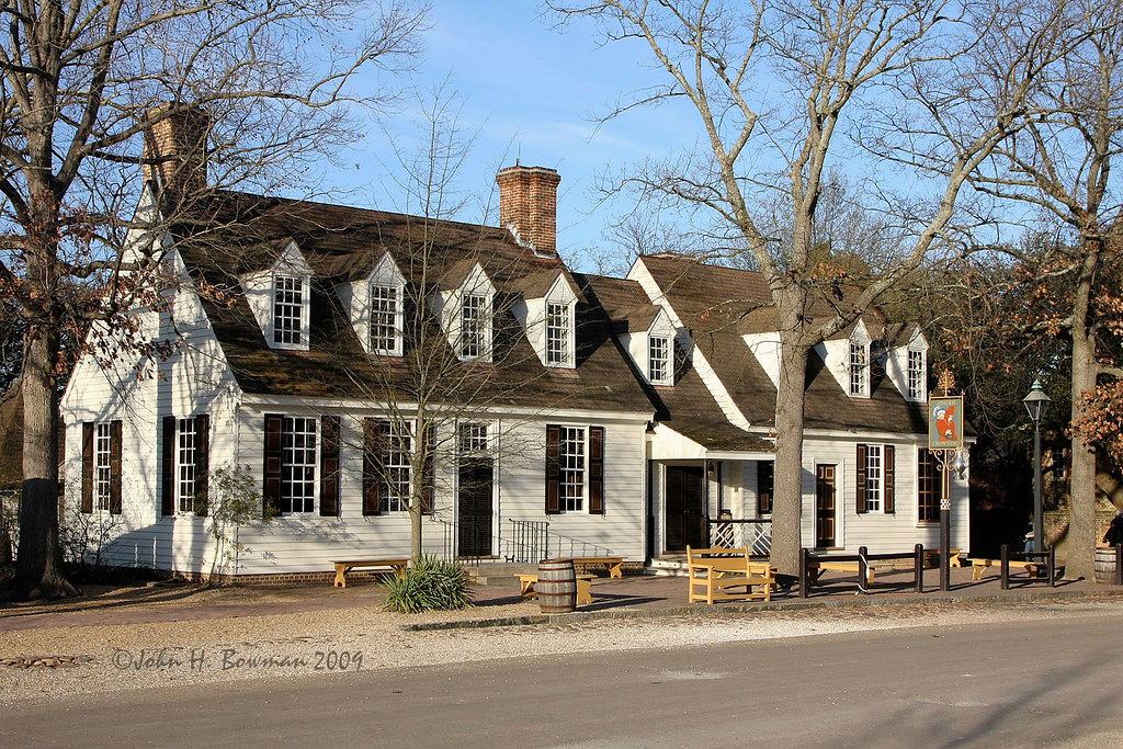
Chowning's Tavern 2

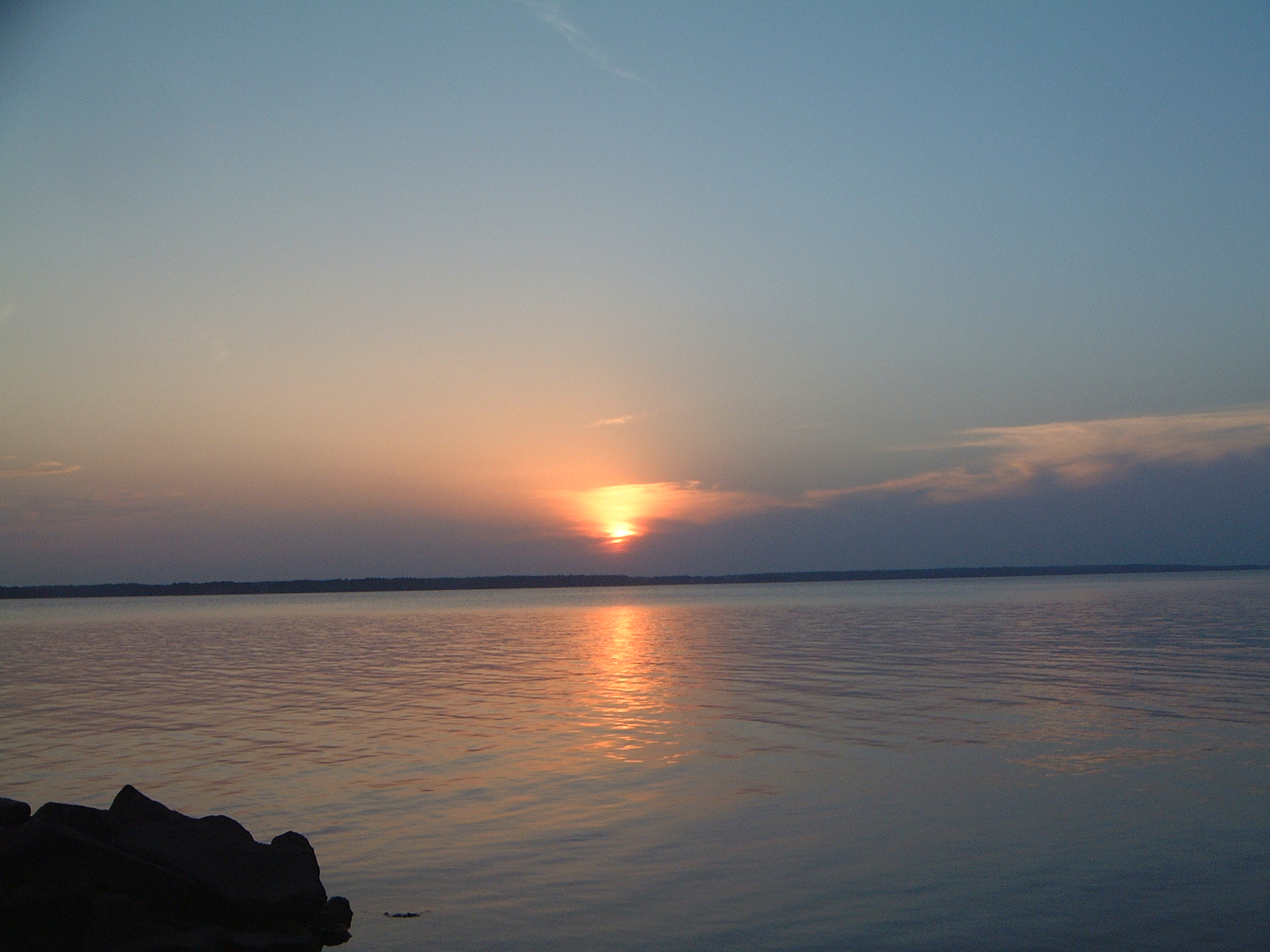
Sunsetting on History

In the trees

Great Blue Skimmer front view

M Dubois Grocer

Box Pews, Bruton Parish Episcopal – (HDR - Hybrid)

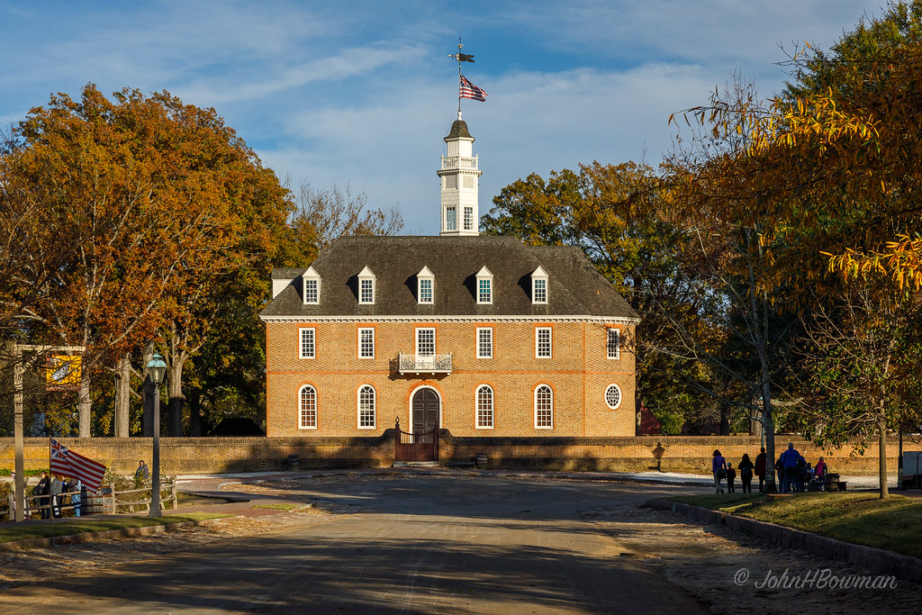
Court House, Colonial Williamsburg
Warm Sunlight on Historic Capitol (HFF)

Courthouse and Sycamore - Williamsburg

IMG_4333 8X10 11-27-15 (Custom)

Duke of Gloucester Street

Williamsburg over the fences 1

there's a light at the end of this tunnel... for you!

Historic puzzle

Looking For Dad

dock view

Another Foggy Morning - YIP - Nov. 9, 2009

Male Northern Cardinal Portraits

31 | 2010

20170521_132547-2

Taskinas Creek

Maze / Colonial Williamsburg
Marsh at Forest's Edge

Image created with #Snapseed

Diascund Resevoir 3
Diascund Creek

croaker, va

Myosonec, New Kent County, VA

croaker, va
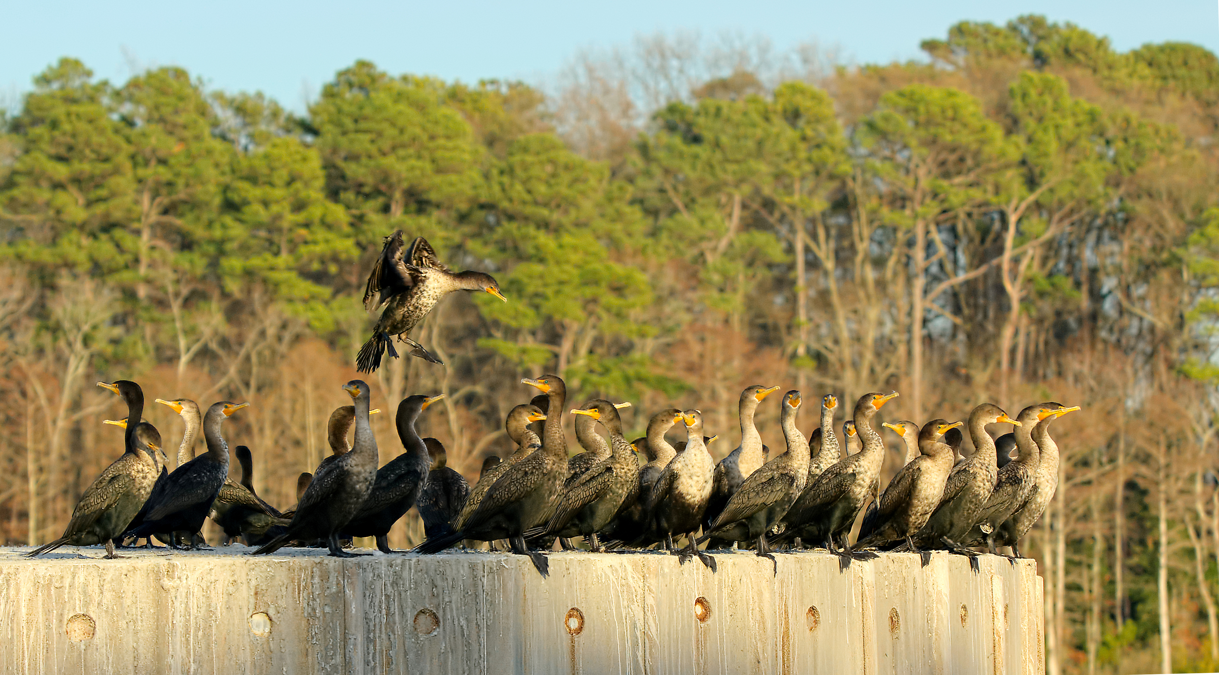
Landing -- Double-crested Cormorants

i'm a loner dottie, a rebel

Revolutionary city, Williamsburg, VA

Great day for HDR
Neighborhood 028

Sunsets 028

IMG00175-20081230-1647

⭐️????
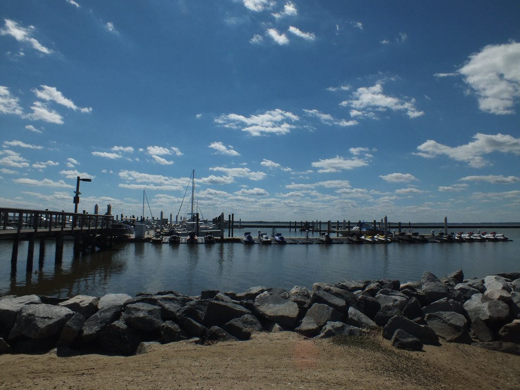
Kingsmill marina on the James River
Topographic Map of Centerville Rd, Williamsburg, VA, USA
Find elevation by address:

Places near Centerville Rd, Williamsburg, VA, USA:
5882 Centerville Rd
Centerville Rd, Williamsburg, VA, USA
6084 Centerville Rd
126 Burton Woods Dr
6431 Zachariah Drive
3894 Isaac Circle
4234 Wedgewood Dr
129 Mahogany Run
108 Carmel Valley
4108 Windmill Rd
4105 Windmill Rd
Fords Colony Drive
132 Killarney
6 Peale Ct, Williamsburg, VA, USA
2201 Eaglescliffe
101 St Andrews Dr
4251 Old Lock Rd
4215 Old Lock Rd
6935 Vernon Hall
6620 Chapel Xing
Recent Searches:
- Elevation of Steadfast Ct, Daphne, AL, USA
- Elevation of Lagasgasan, X+CQH, Tiaong, Quezon, Philippines
- Elevation of Rojo Ct, Atascadero, CA, USA
- Elevation of Flagstaff Drive, Flagstaff Dr, North Carolina, USA
- Elevation of Avery Ln, Lakeland, FL, USA
- Elevation of Woolwine, VA, USA
- Elevation of Lumagwas Diversified Farmers Multi-Purpose Cooperative, Lumagwas, Adtuyon, RV32+MH7, Pangantucan, Bukidnon, Philippines
- Elevation of Homestead Ridge, New Braunfels, TX, USA
- Elevation of Orchard Road, Orchard Rd, Marlborough, NY, USA
- Elevation of 12 Hutchinson Woods Dr, Fletcher, NC, USA