Elevation of Fm W, Celeste, TX, USA
Location: United States > Texas > Hunt County > Celeste >
Longitude: -96.161357
Latitude: 33.298972
Elevation: 204m / 669feet
Barometric Pressure: 99KPa
Elevation Map:
Satellite Map:
Related Photos:
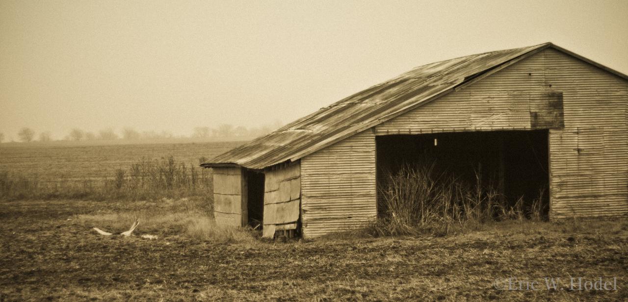
Winter's Rest

Window views
Project Flickr- Showcase Week 52

Pictures of You
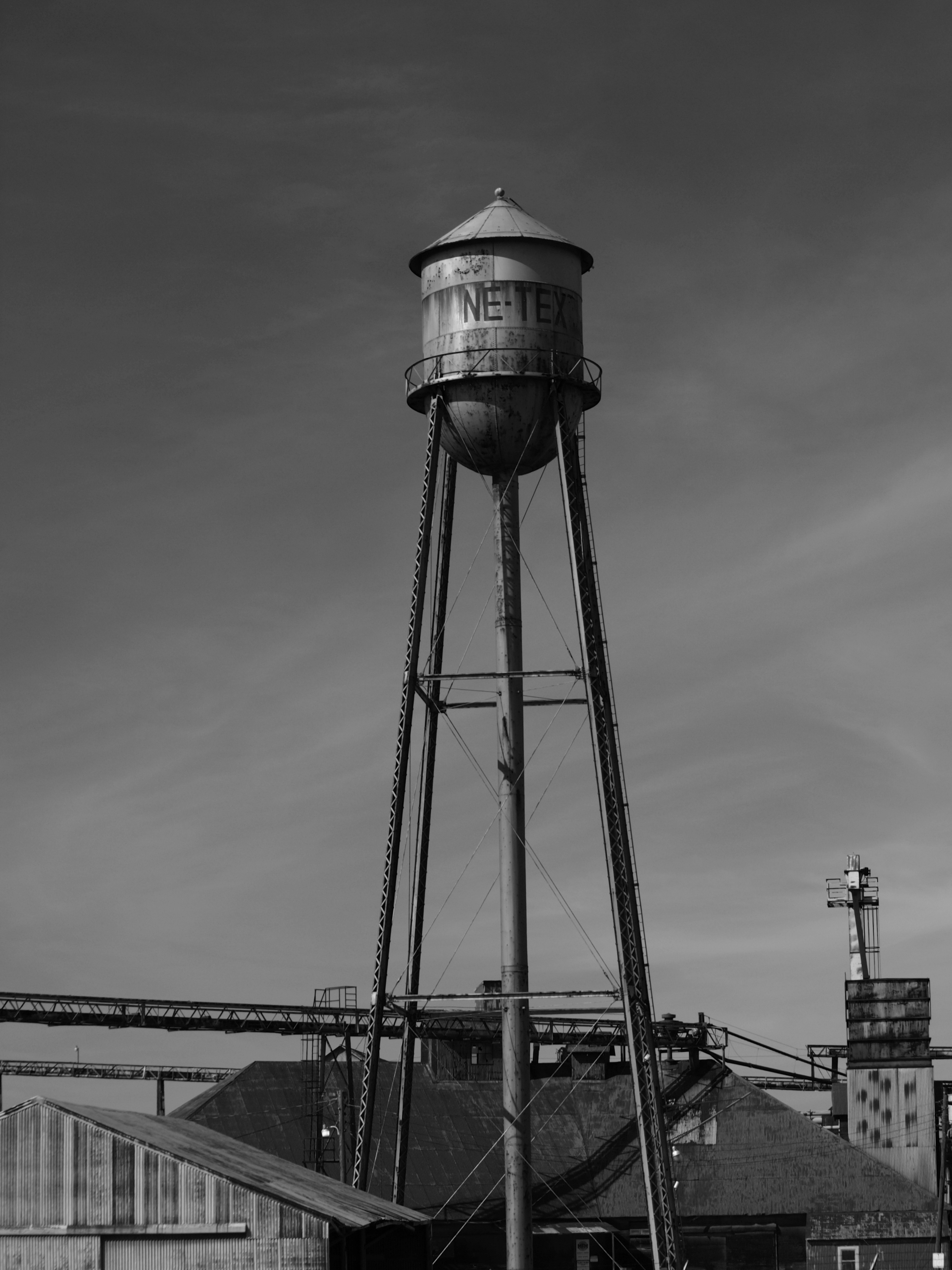
NE TEX tower
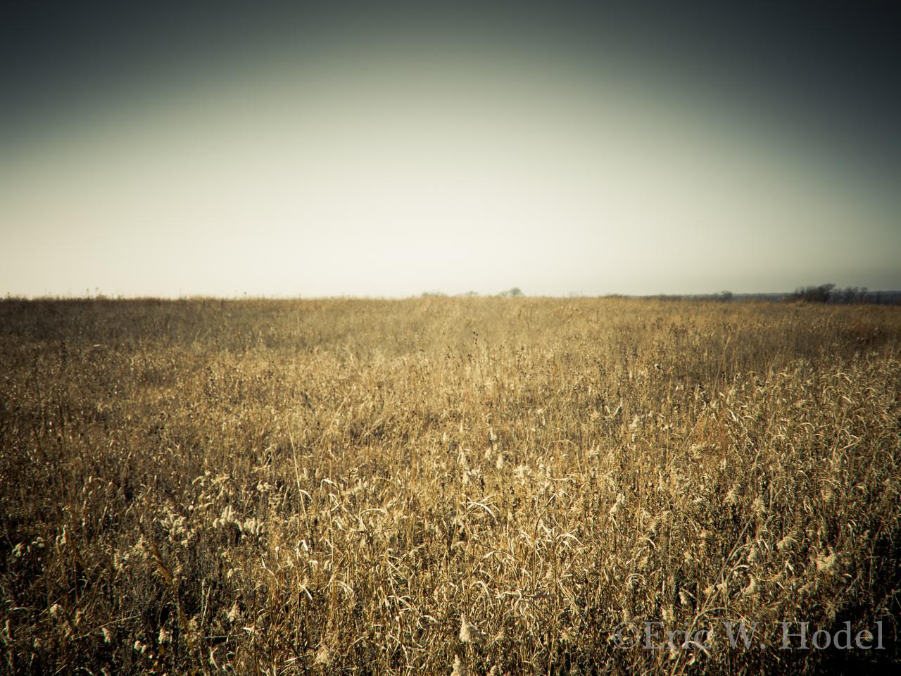
Parkhill Prairie

Can we fly away....

Painted sky
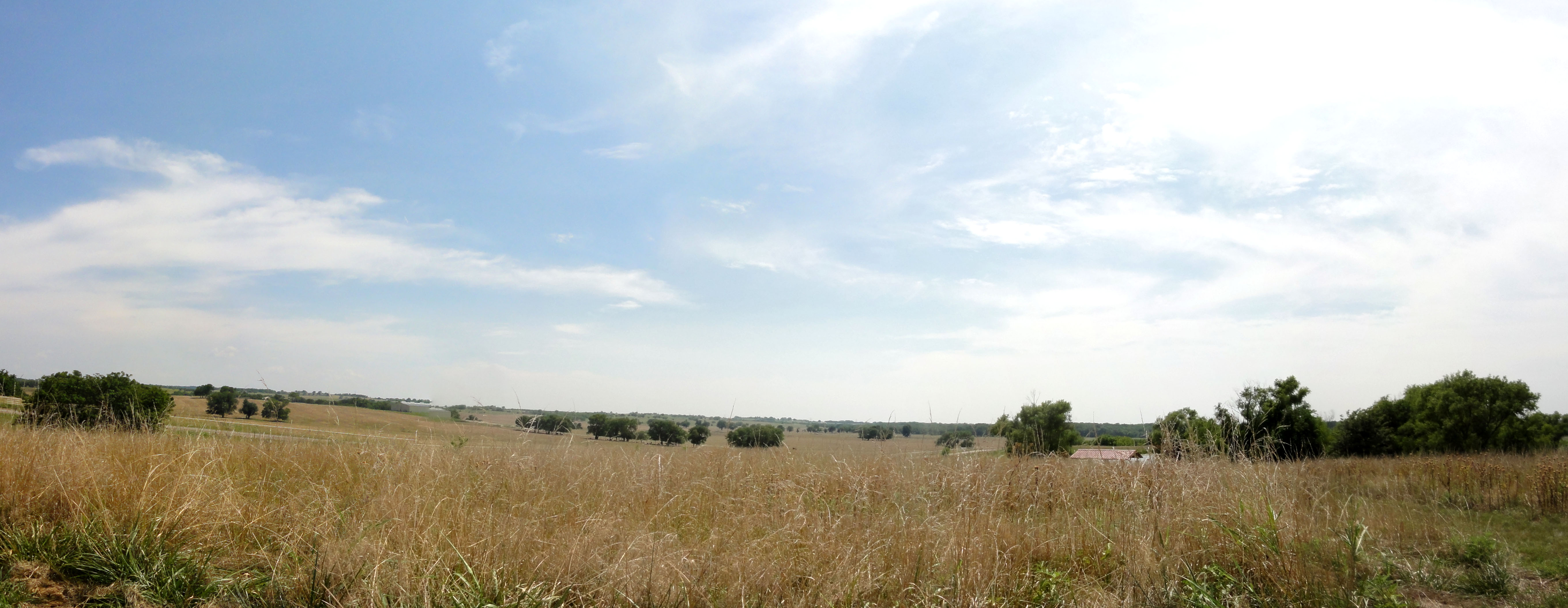
Parkhill Prarie
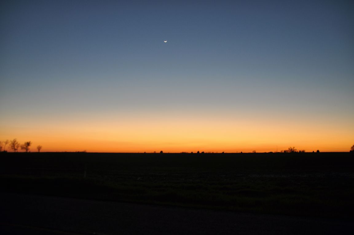
Waxing Crescent Moon
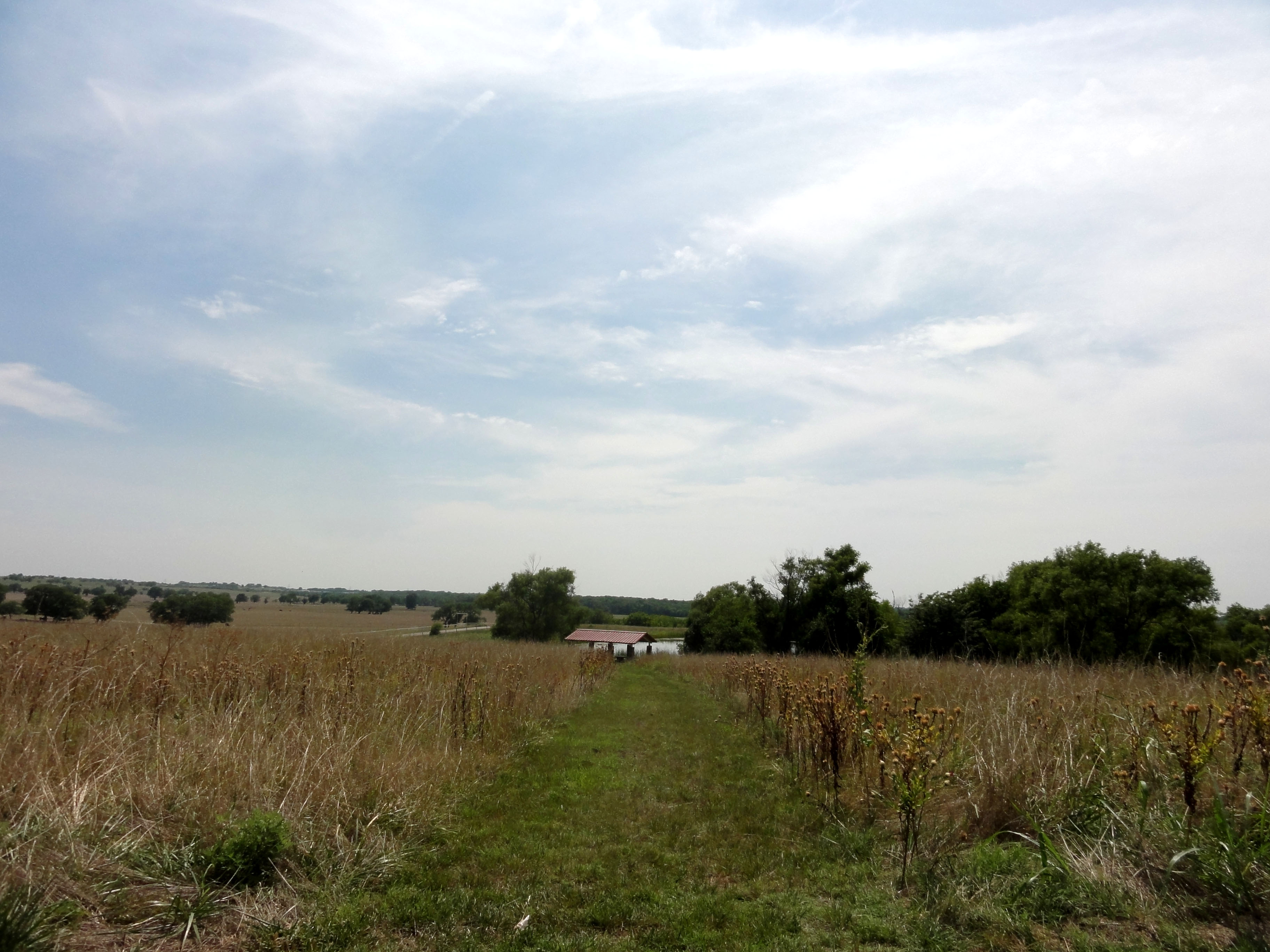
Parkhill Prarie
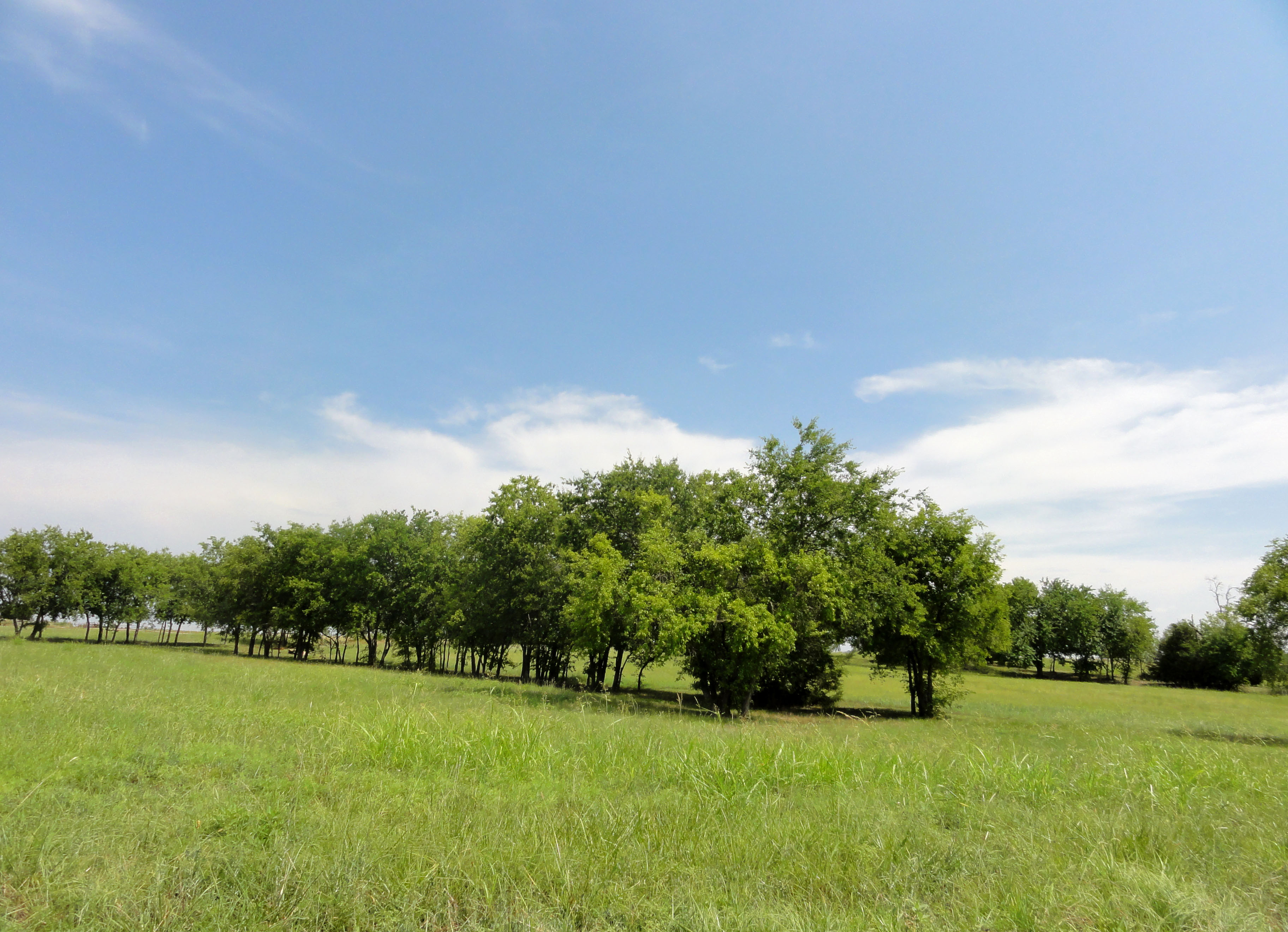
Parkhill Prarie
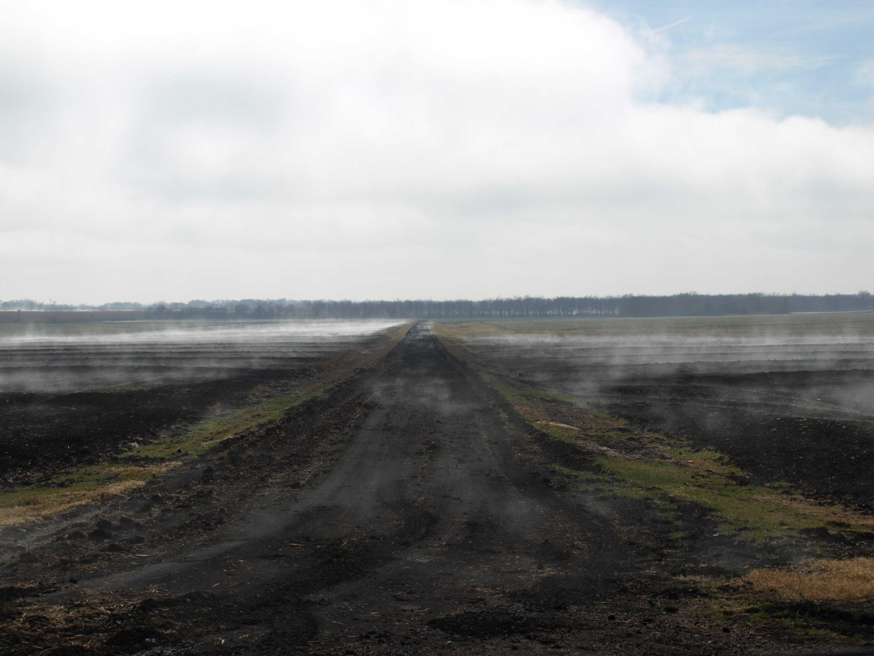
Foggy Road
Topographic Map of Fm W, Celeste, TX, USA
Find elevation by address:

Places near Fm W, Celeste, TX, USA:
Celeste
US-69, Celeste, TX, USA
FM, Wolfe City, TX, USA
3608 Co Rd 1033
US-69, Greenville, TX, USA
1530 Co Rd 4816
Wolfe City High School
FM, Leonard, TX, USA
Hunt County
605 Manson St
105 Hanna St
Wolfe City
Leonard
1001 N Parmele St
Co Rd, Greenville, TX, USA
Bailey
County Road 4617
Morrison St, Greenville, TX, USA
FM, Blue Ridge, TX, USA
Merit
Recent Searches:
- Elevation of Congressional Dr, Stevensville, MD, USA
- Elevation of Bellview Rd, McLean, VA, USA
- Elevation of Stage Island Rd, Chatham, MA, USA
- Elevation of Shibuya Scramble Crossing, 21 Udagawacho, Shibuya City, Tokyo -, Japan
- Elevation of Jadagoniai, Kaunas District Municipality, Lithuania
- Elevation of Pagonija rock, Kranto 7-oji g. 8"N, Kaunas, Lithuania
- Elevation of Co Rd 87, Jamestown, CO, USA
- Elevation of Tenjo, Cundinamarca, Colombia
- Elevation of Côte-des-Neiges, Montreal, QC H4A 3J6, Canada
- Elevation of Bobcat Dr, Helena, MT, USA