Elevation of FM, Blue Ridge, TX, USA
Location: United States > Texas > Collin County >
Longitude: -96.302711
Latitude: 33.32246
Elevation: 191m / 627feet
Barometric Pressure: 99KPa
Elevation Map:
Satellite Map:
Related Photos:
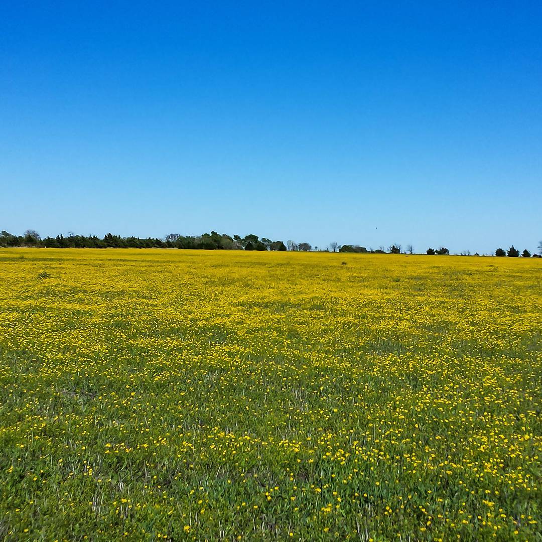
My neighbor's 20 acres grass pasture that is normally use for hay is full of yellow wildflowers. #snaptexas #instagramtexas #texasinstagram #Texas #igtexas #vanishingtexas #jj_lonestartx #rsa_rural #rsa_outdoors #ruralexploration #rural #BlueRidgeTexa
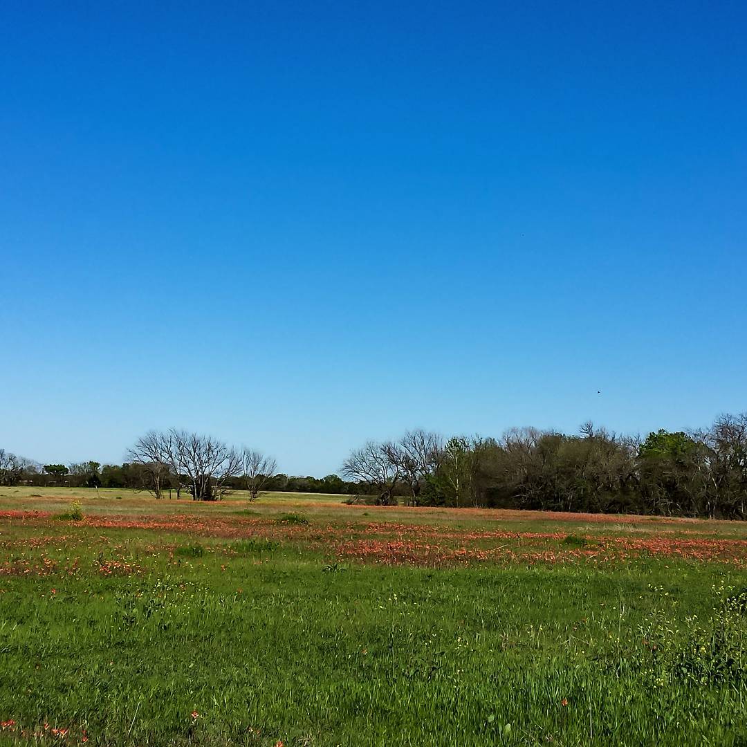
The Texas Indian Paintbrush is starting to pop up in Blue Ridge, Texas. #snaptexas #instagramtexas #texasinstagram #Texas #igtexas #vanishingtexas #jj_lonestartx #rsa_rural #rsa_outdoors #roadtrip #ruralexploration #rural #sunset #BlueRidgeTexas #texas
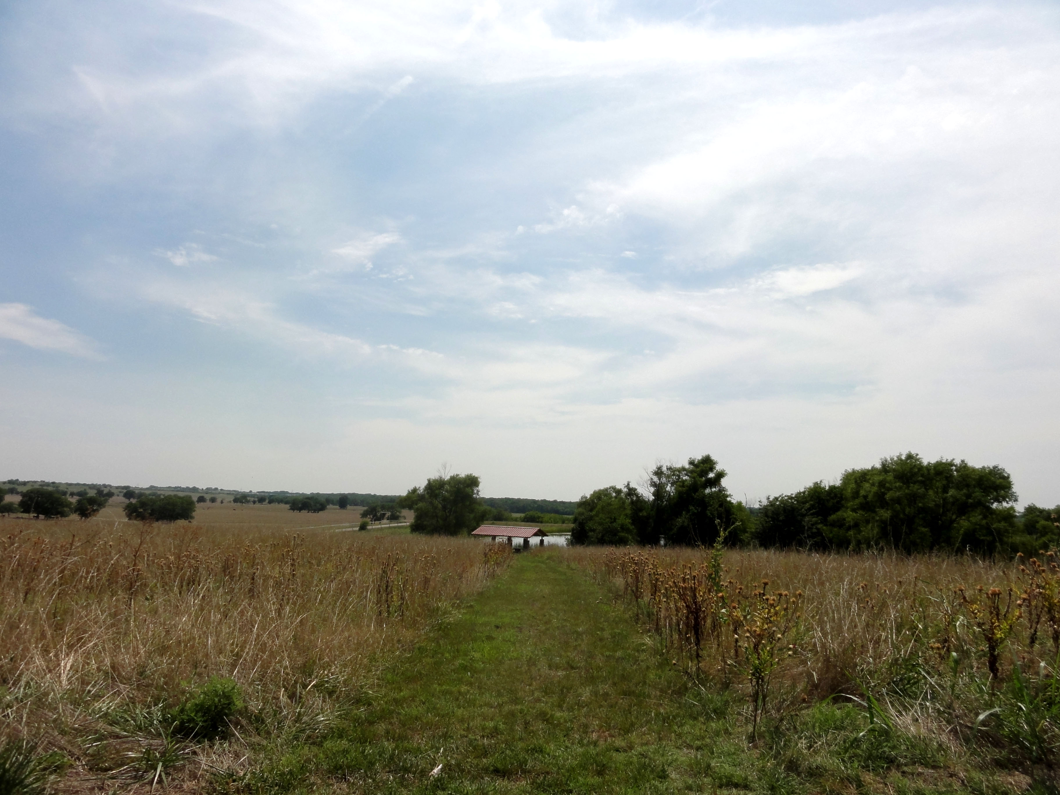
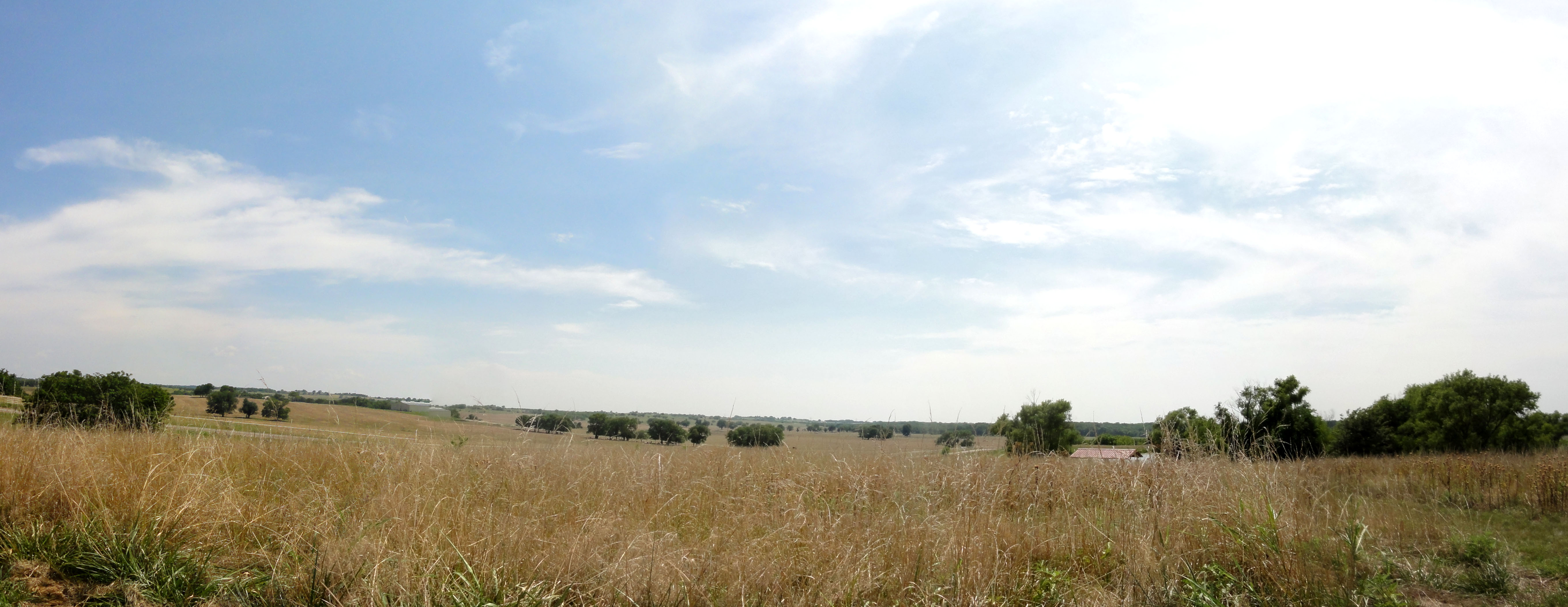
Parkhill Prarie
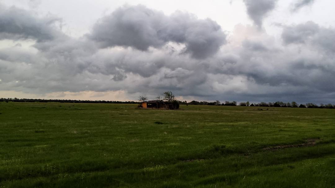
Second set of storms passing us by. Shot taken in our back yard looking out at the grass pastures. #snaptexas #instagramtexas #texasinstagram #Texas #igtexas #vanishingtexas #ig_countryside #texas_ig #rural #rsa_rural #blueridgetexas texas #jj_lonestart
Parkhill Prairie
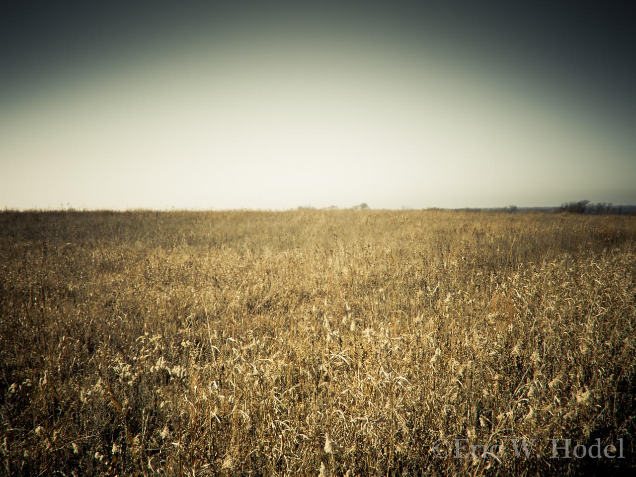
Parkhill Prarie

Field of Violet
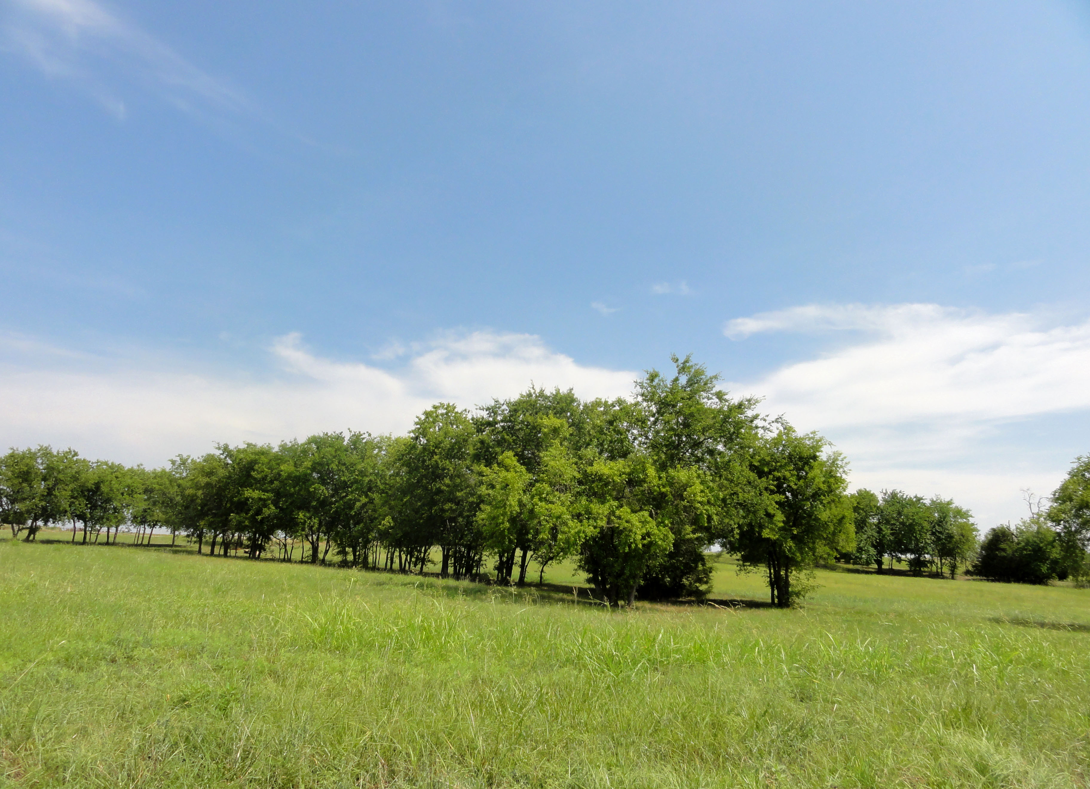
Parkhill Prarie

Grounds Cemetery - Blue Ridge, TX
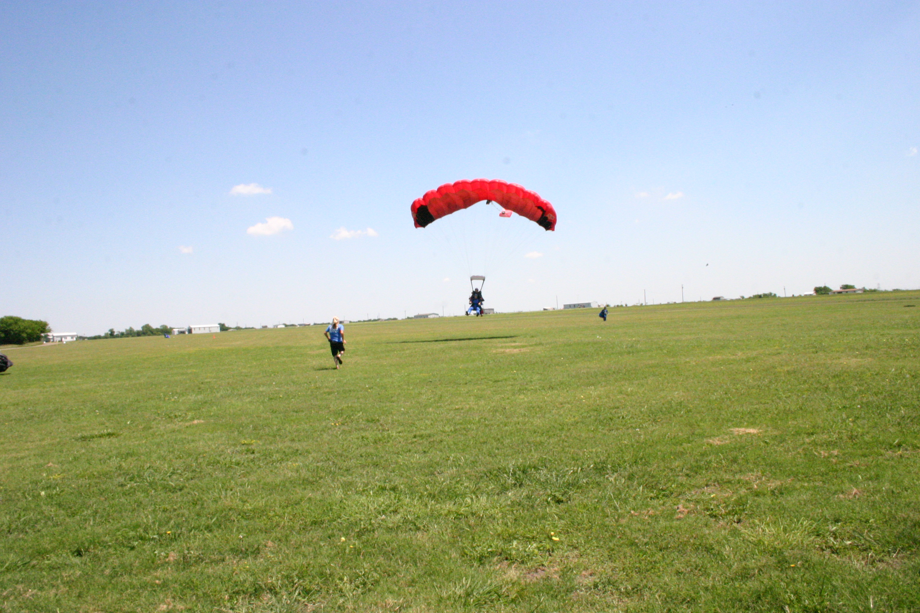
Jared_Skydive (25)

Grounds Cemetery - Blue Ridge, TX
Topographic Map of FM, Blue Ridge, TX, USA
Find elevation by address:

Places near FM, Blue Ridge, TX, USA:
15505 Co Rd 834
FM, Leonard, TX, USA
8350 County Rd 1216
Leonard
1001 N Parmele St
County Road 662
5819 Co Rd 660
945 Co Rd 4620
Blue Ridge
11800 Co Rd 624
Merit
Celeste
Trenton
18830 Johnson Ln
Fm W, Celeste, TX, USA
US-69, Celeste, TX, USA
1105 Red Moore Rd
2201 Durham Rd
FM, Wolfe City, TX, USA
2937 Fm151
Recent Searches:
- Elevation of Corso Fratelli Cairoli, 35, Macerata MC, Italy
- Elevation of Tallevast Rd, Sarasota, FL, USA
- Elevation of 4th St E, Sonoma, CA, USA
- Elevation of Black Hollow Rd, Pennsdale, PA, USA
- Elevation of Oakland Ave, Williamsport, PA, USA
- Elevation of Pedrógão Grande, Portugal
- Elevation of Klee Dr, Martinsburg, WV, USA
- Elevation of Via Roma, Pieranica CR, Italy
- Elevation of Tavkvetili Mountain, Georgia
- Elevation of Hartfords Bluff Cir, Mt Pleasant, SC, USA