Elevation of FM, Leonard, TX, USA
Location: United States > Texas > Fannin County > Leonard >
Longitude: -96.26308
Latitude: 33.302832
Elevation: 189m / 620feet
Barometric Pressure: 99KPa
Elevation Map:
Satellite Map:
Related Photos:
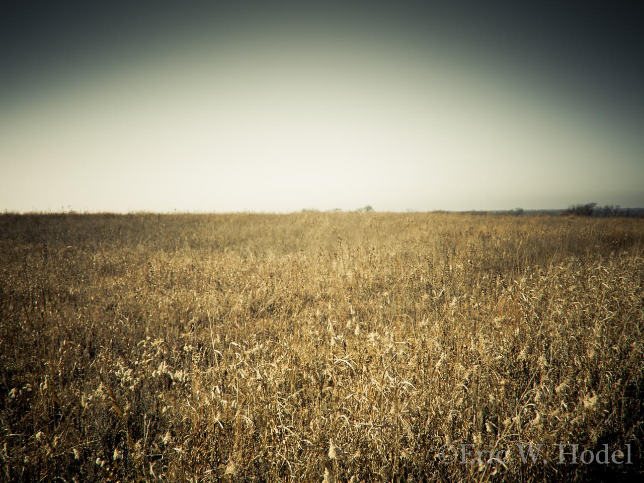
Parkhill Prairie
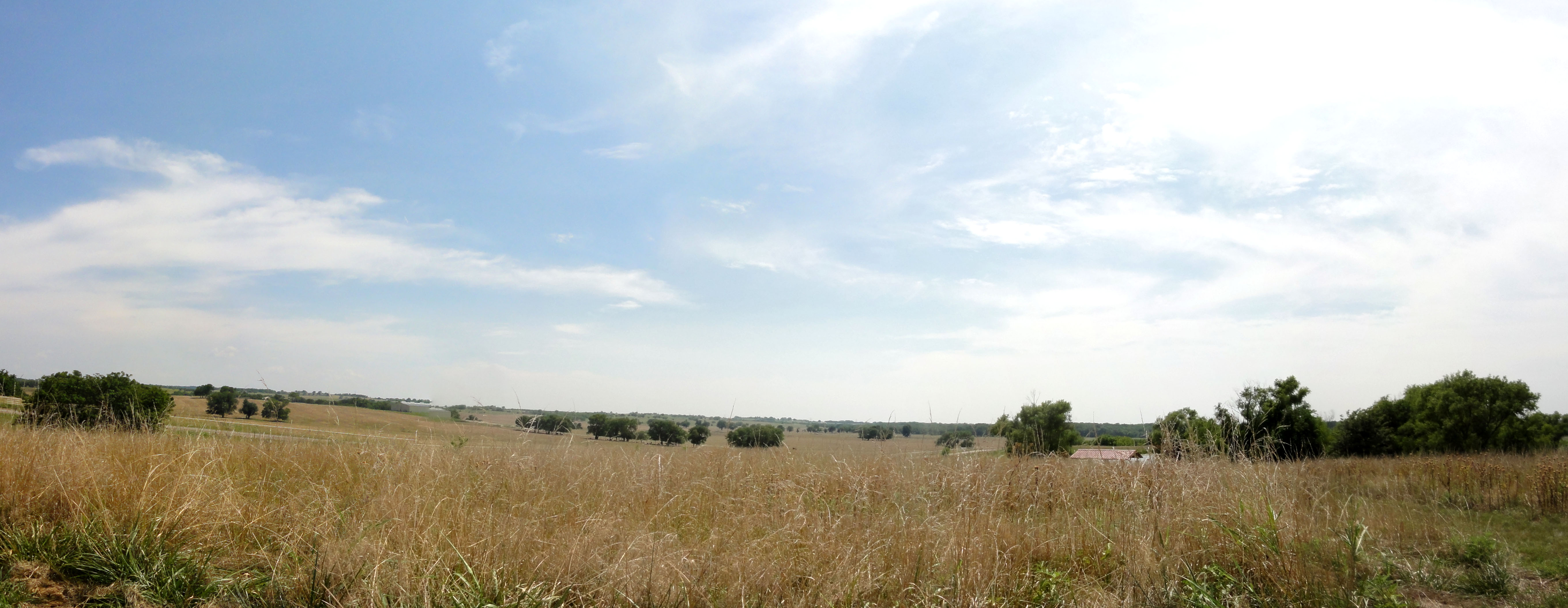
Parkhill Prarie
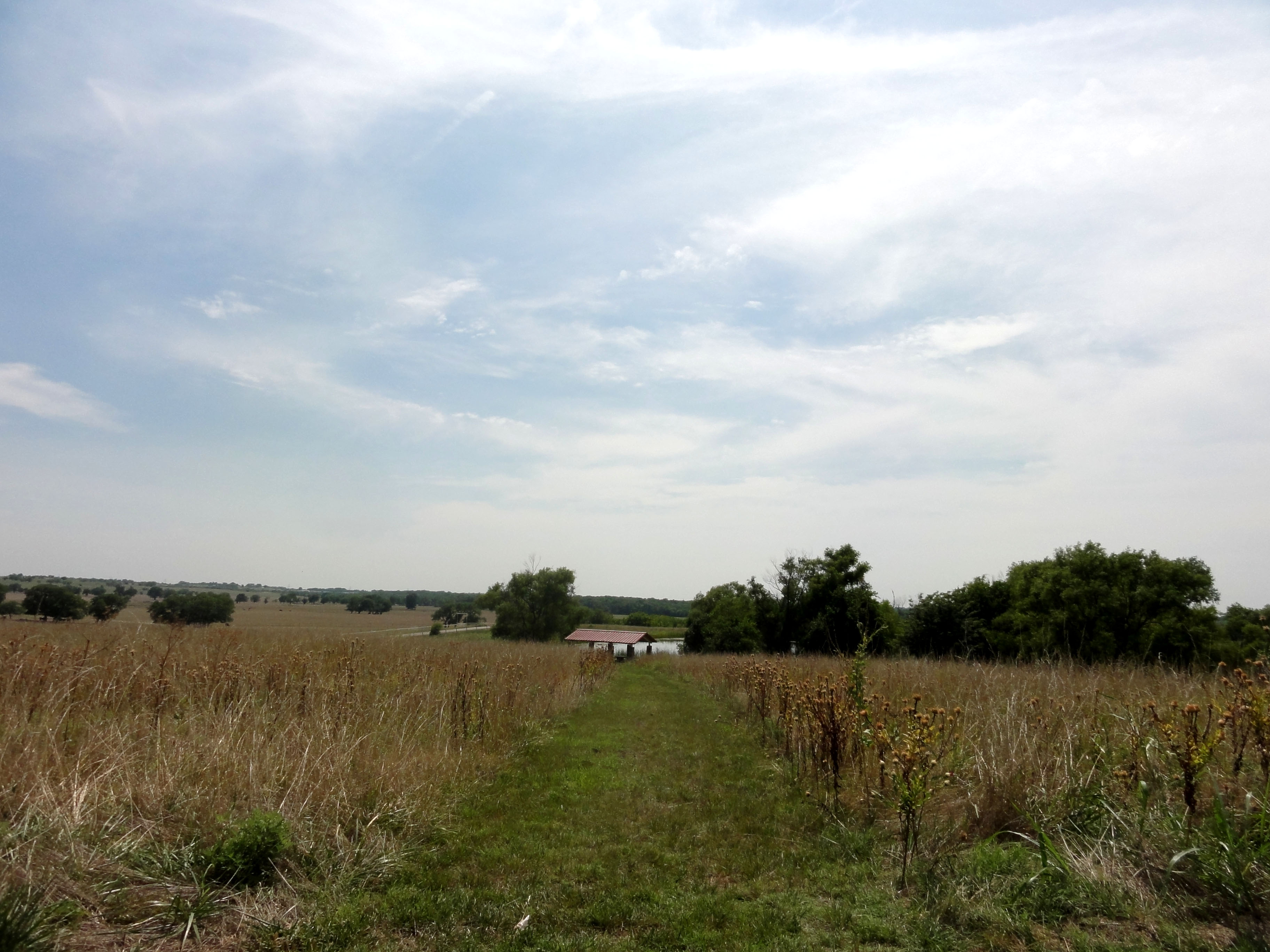
Parkhill Prarie
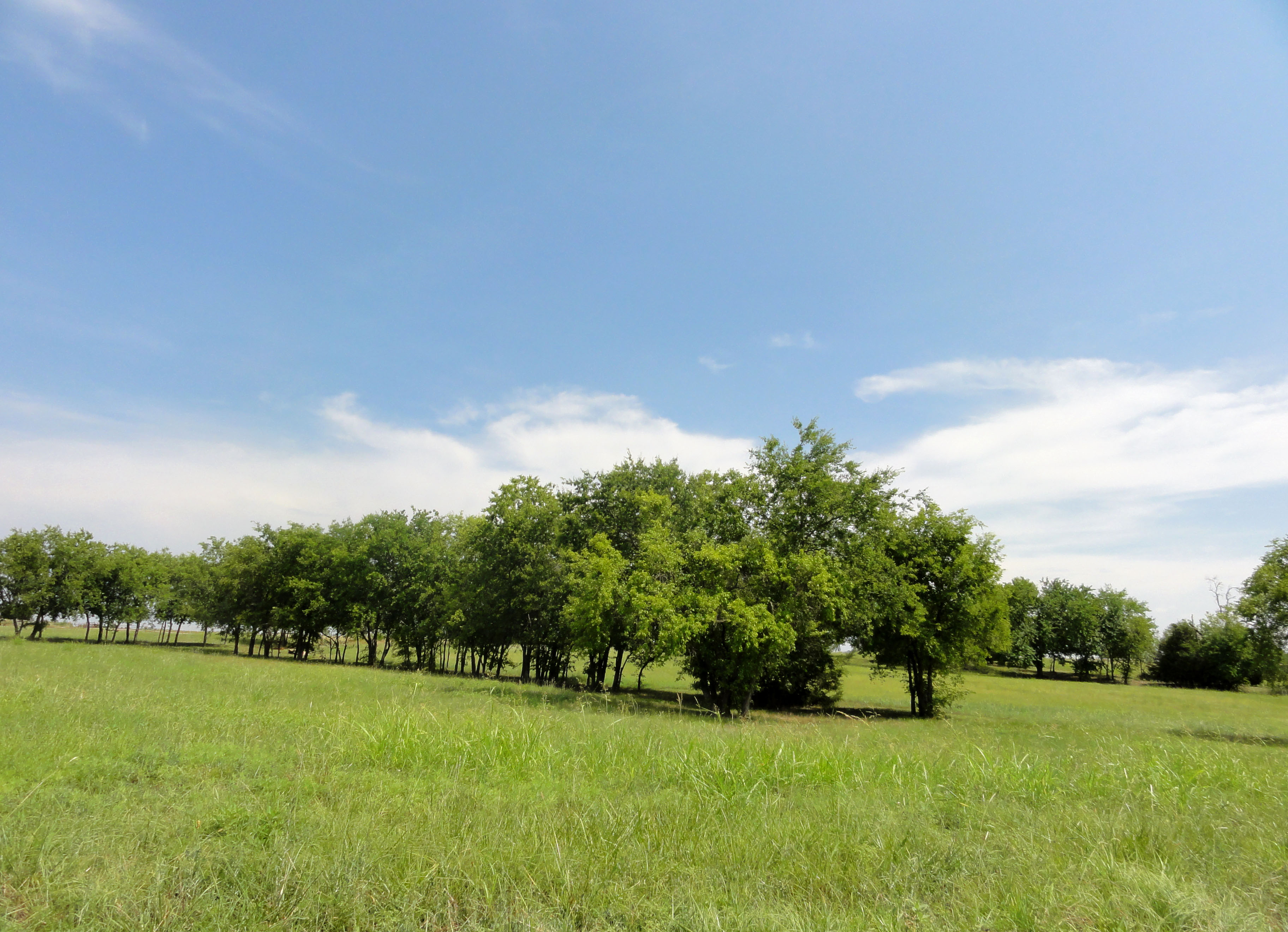
Parkhill Prarie
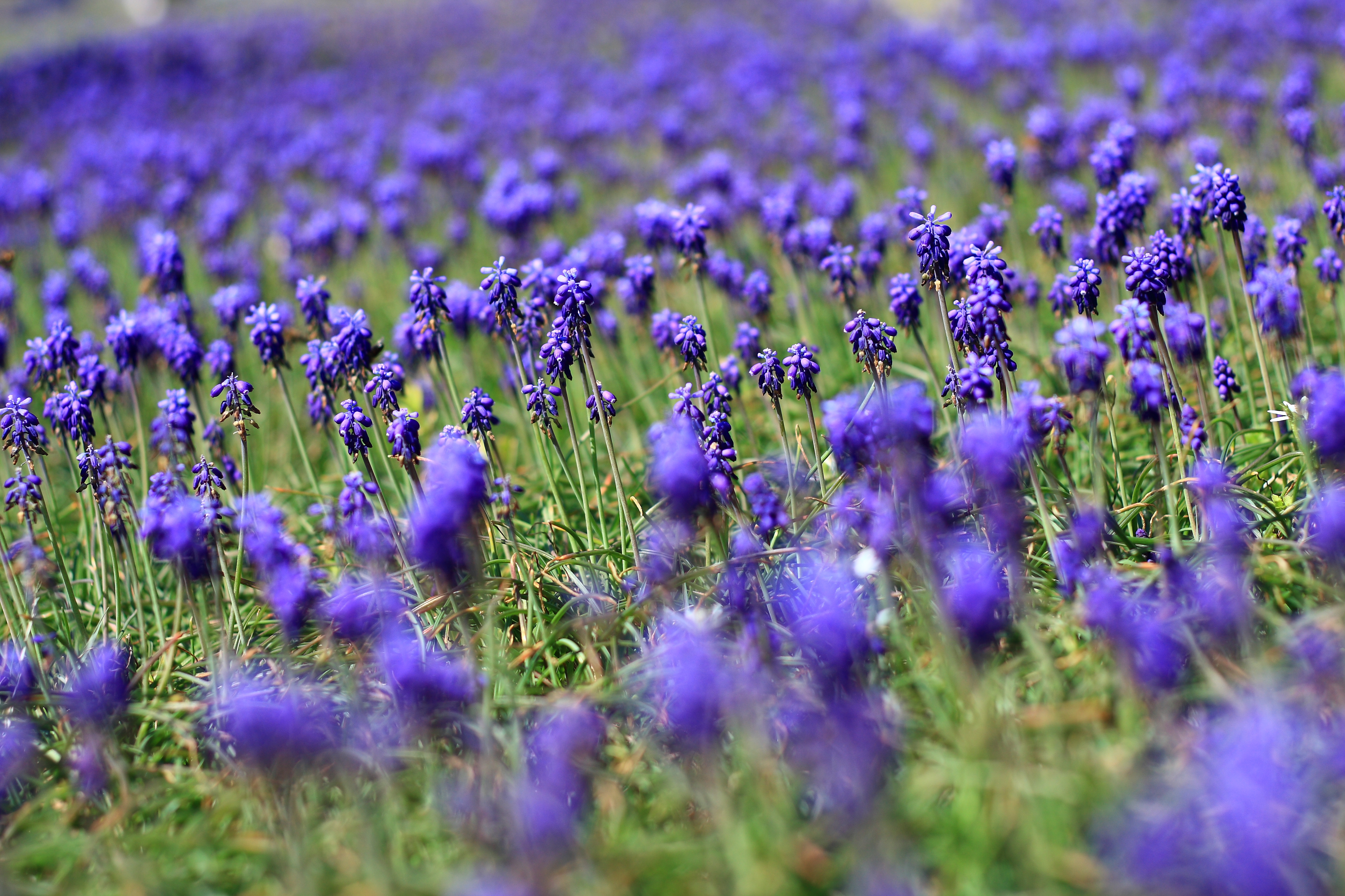
Field of Violet
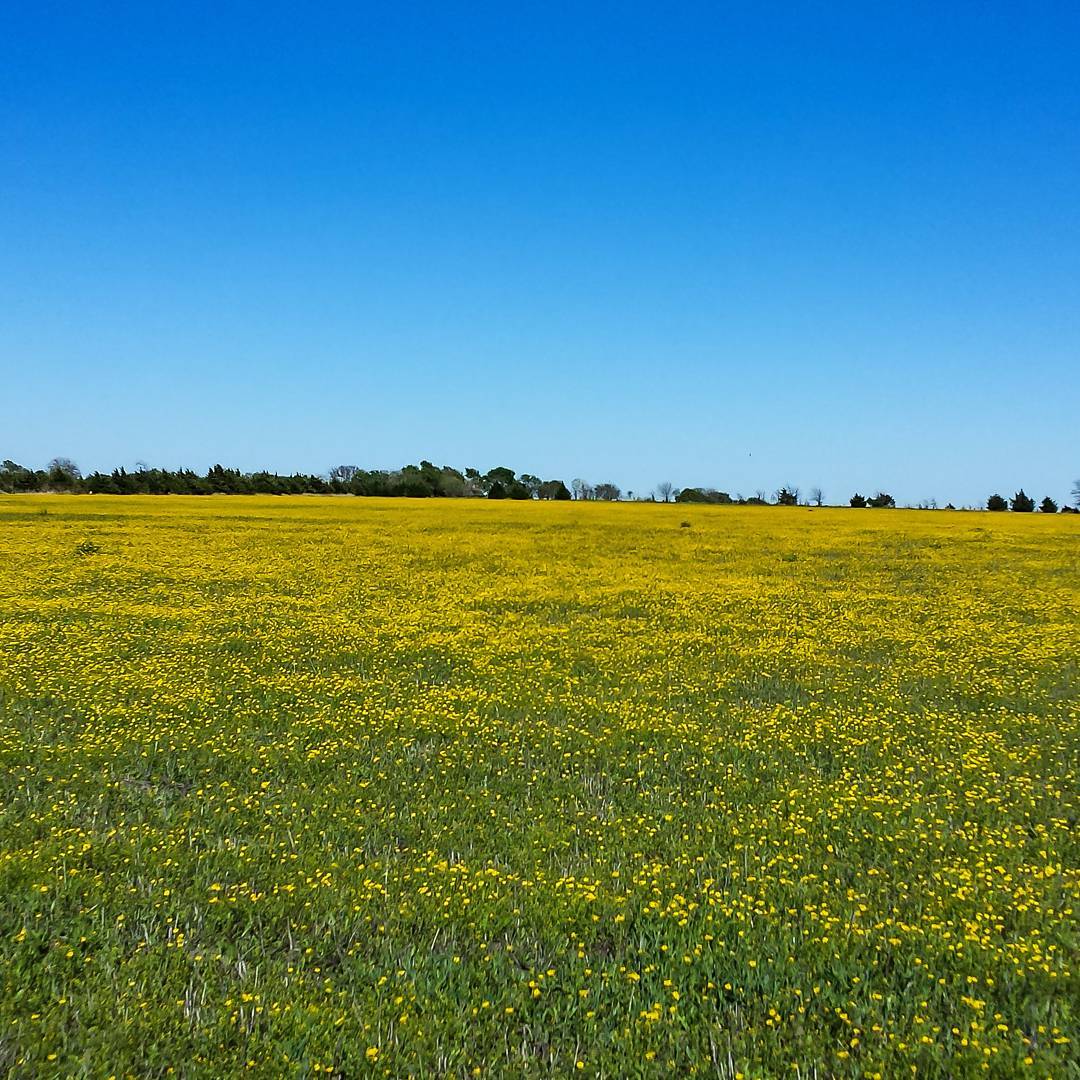
My neighbor's 20 acres grass pasture that is normally use for hay is full of yellow wildflowers. #snaptexas #instagramtexas #texasinstagram #Texas #igtexas #vanishingtexas #jj_lonestartx #rsa_rural #rsa_outdoors #ruralexploration #rural #BlueRidgeTexa
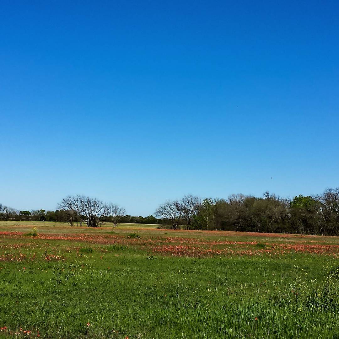
The Texas Indian Paintbrush is starting to pop up in Blue Ridge, Texas. #snaptexas #instagramtexas #texasinstagram #Texas #igtexas #vanishingtexas #jj_lonestartx #rsa_rural #rsa_outdoors #roadtrip #ruralexploration #rural #sunset #BlueRidgeTexas #texas
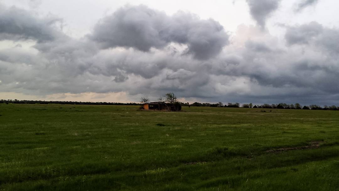
Second set of storms passing us by. Shot taken in our back yard looking out at the grass pastures. #snaptexas #instagramtexas #texasinstagram #Texas #igtexas #vanishingtexas #ig_countryside #texas_ig #rural #rsa_rural #blueridgetexas texas #jj_lonestart

Grounds Cemetery - Blue Ridge, TX

Grounds Cemetery - Blue Ridge, TX
Topographic Map of FM, Leonard, TX, USA
Find elevation by address:

Places near FM, Leonard, TX, USA:
FM, Blue Ridge, TX, USA
15505 Co Rd 834
Celeste
Leonard
8350 County Rd 1216
1001 N Parmele St
Merit
5819 Co Rd 660
County Road 662
US-69, Celeste, TX, USA
Fm W, Celeste, TX, USA
18830 Johnson Ln
FM, Wolfe City, TX, USA
945 Co Rd 4620
11800 Co Rd 624
Blue Ridge
US-69, Greenville, TX, USA
Trenton
Hunt County
3608 Co Rd 1033
Recent Searches:
- Elevation of Leguwa, Nepal
- Elevation of County Rd, Enterprise, AL, USA
- Elevation of Kolchuginsky District, Vladimir Oblast, Russia
- Elevation of Shustino, Vladimir Oblast, Russia
- Elevation of Lampiasi St, Sarasota, FL, USA
- Elevation of Elwyn Dr, Roanoke Rapids, NC, USA
- Elevation of Congressional Dr, Stevensville, MD, USA
- Elevation of Bellview Rd, McLean, VA, USA
- Elevation of Stage Island Rd, Chatham, MA, USA
- Elevation of Shibuya Scramble Crossing, 21 Udagawacho, Shibuya City, Tokyo -, Japan