Elevation of FM, Port Lavaca, TX, USA
Location: United States > Texas > Calhoun County > Port Lavaca >
Longitude: -96.714191
Latitude: 28.614566
Elevation: 7m / 23feet
Barometric Pressure: 101KPa
Elevation Map:
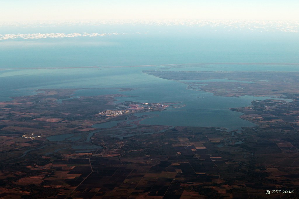
Satellite Map:
Related Photos:
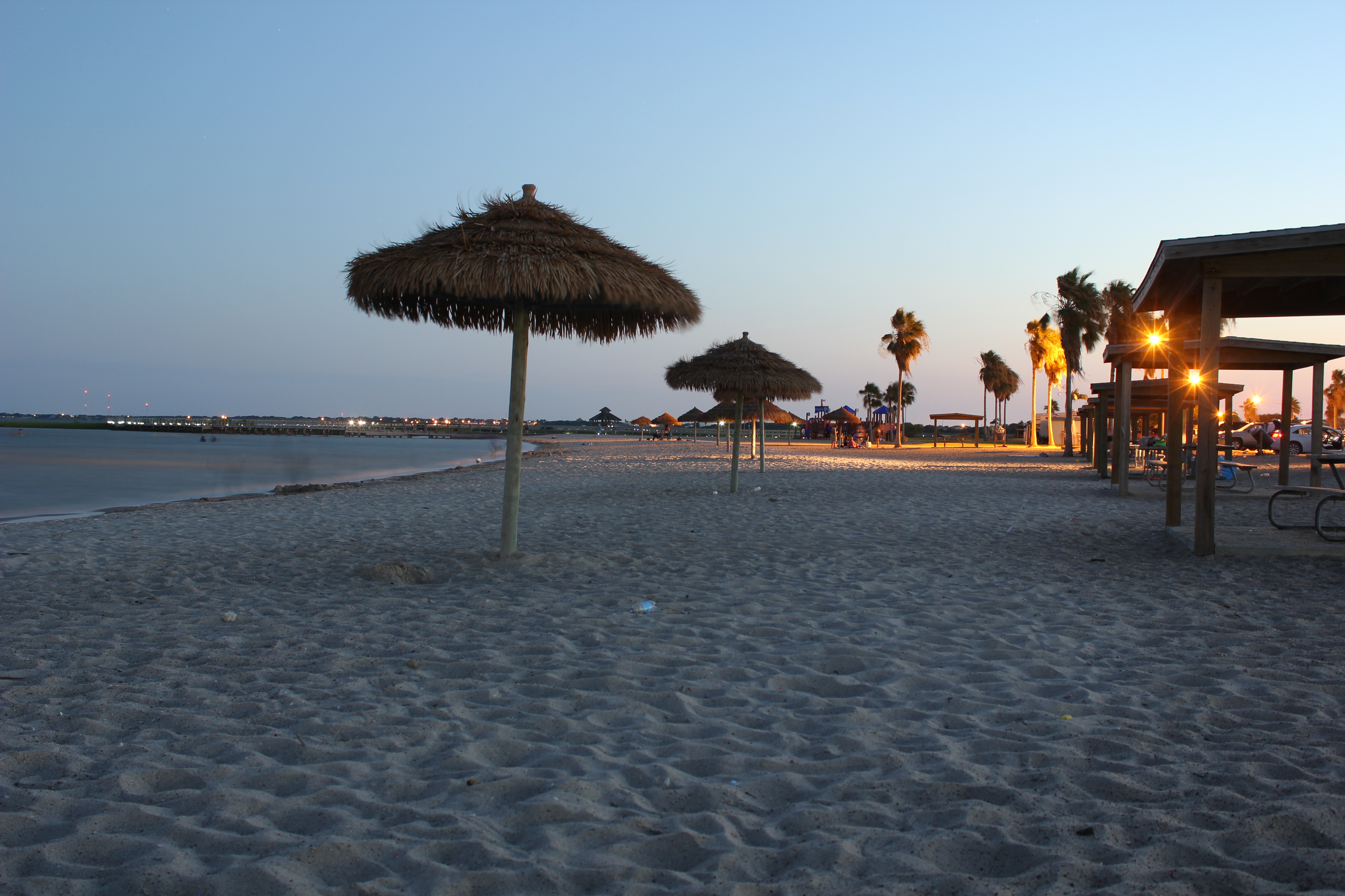
The Sunset at the Beachouse
Beautiful Colors
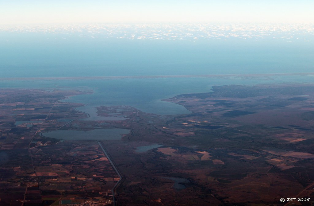
Hynes Bay & Green Lake
The View from the Beachhouse
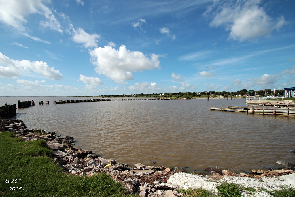
Lavaca Bay
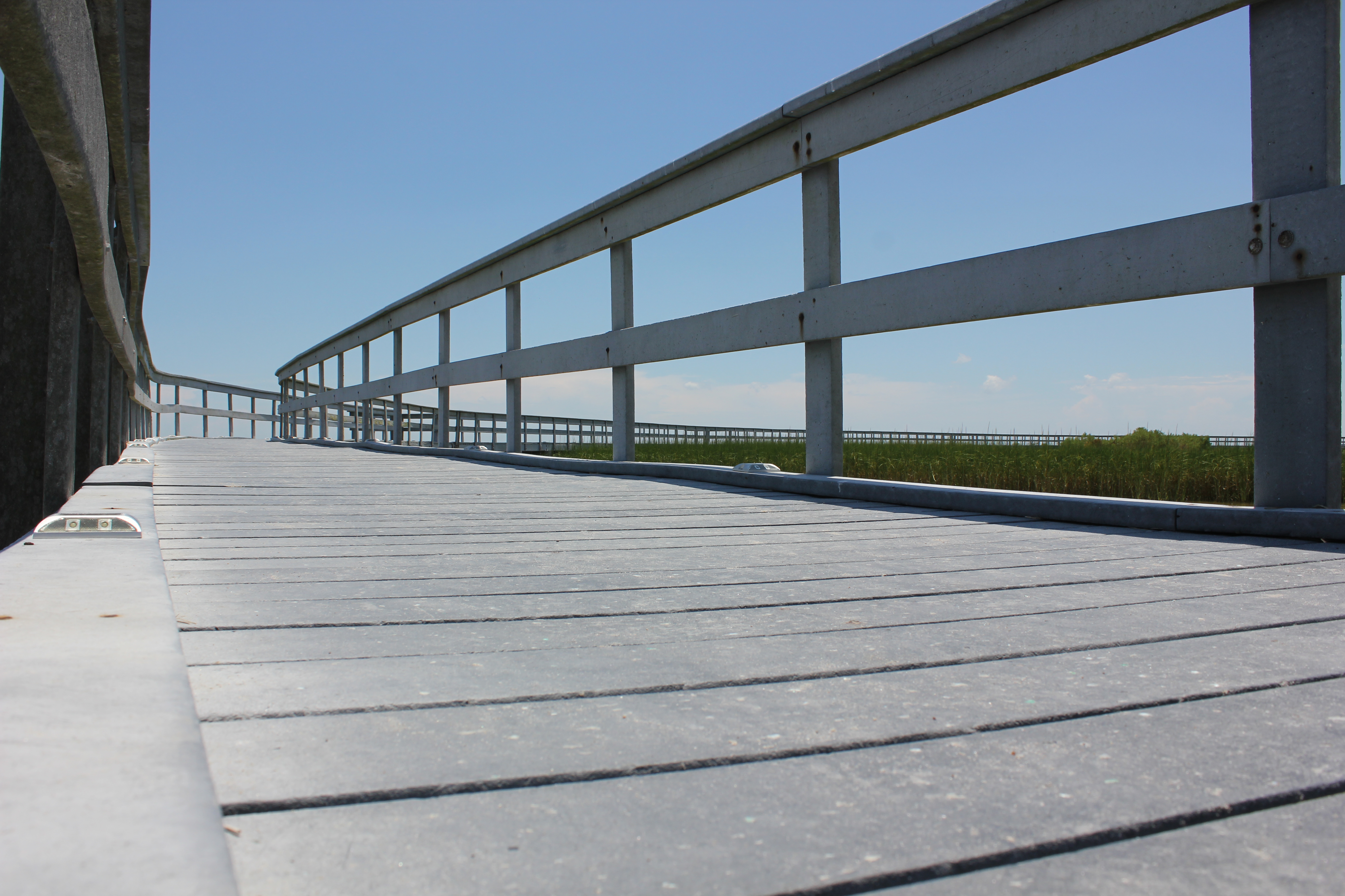
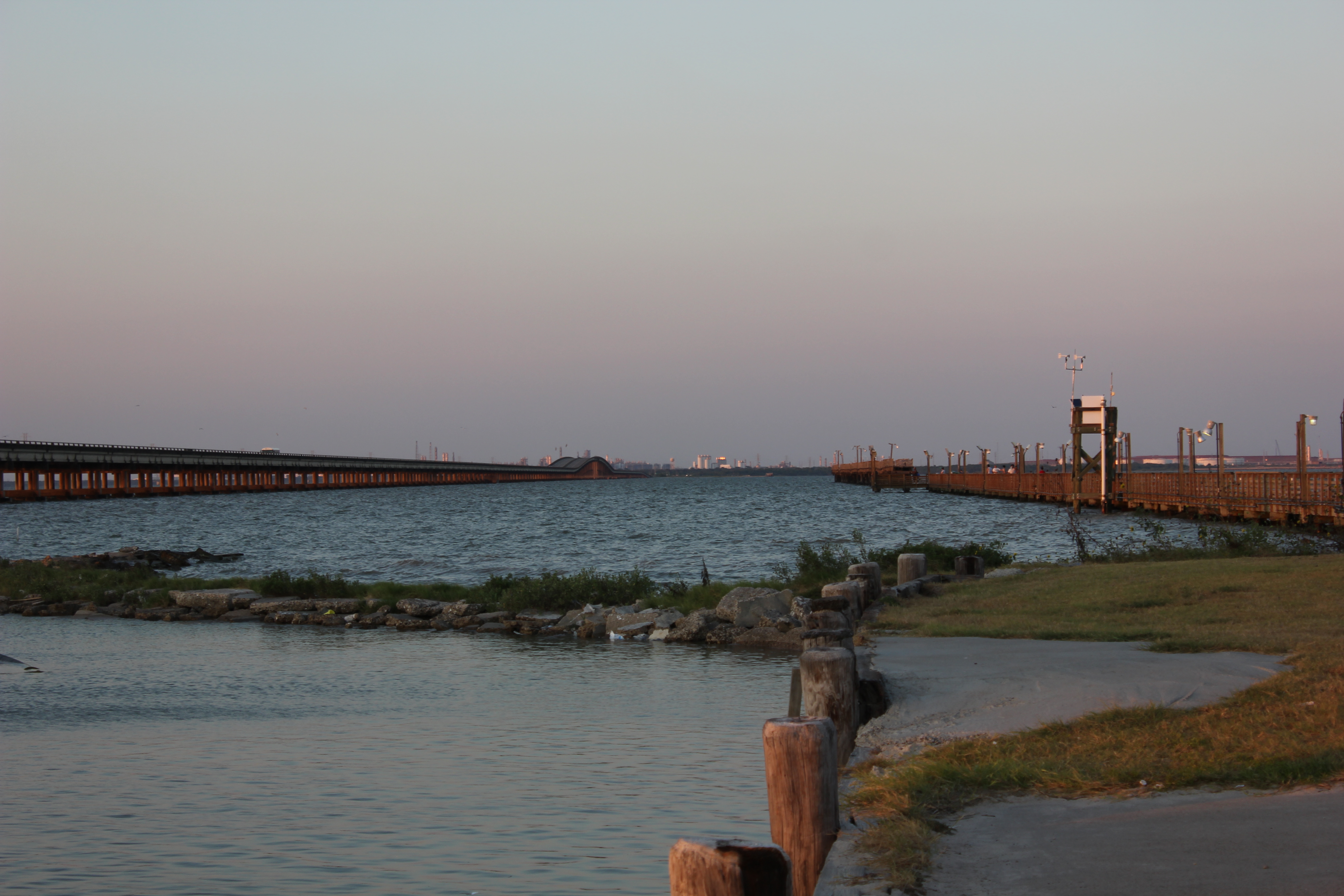
Boardwalk View

Port Lavaca, Texas
Port Lavaca, Texas
Port La Vaca

Clapper Rail Response
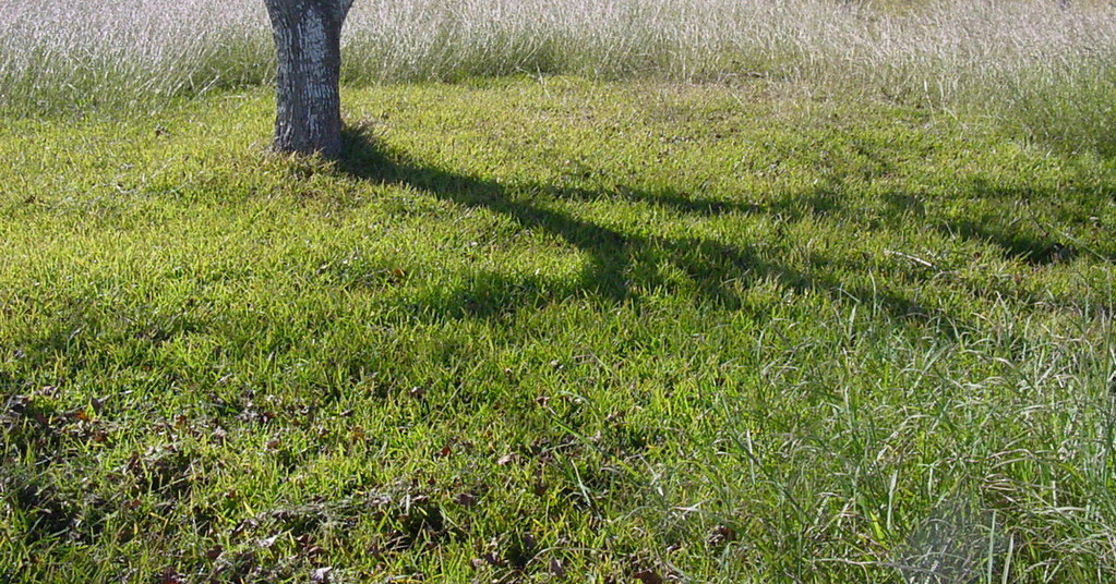
tree shadow

Port Lavaca, Texas
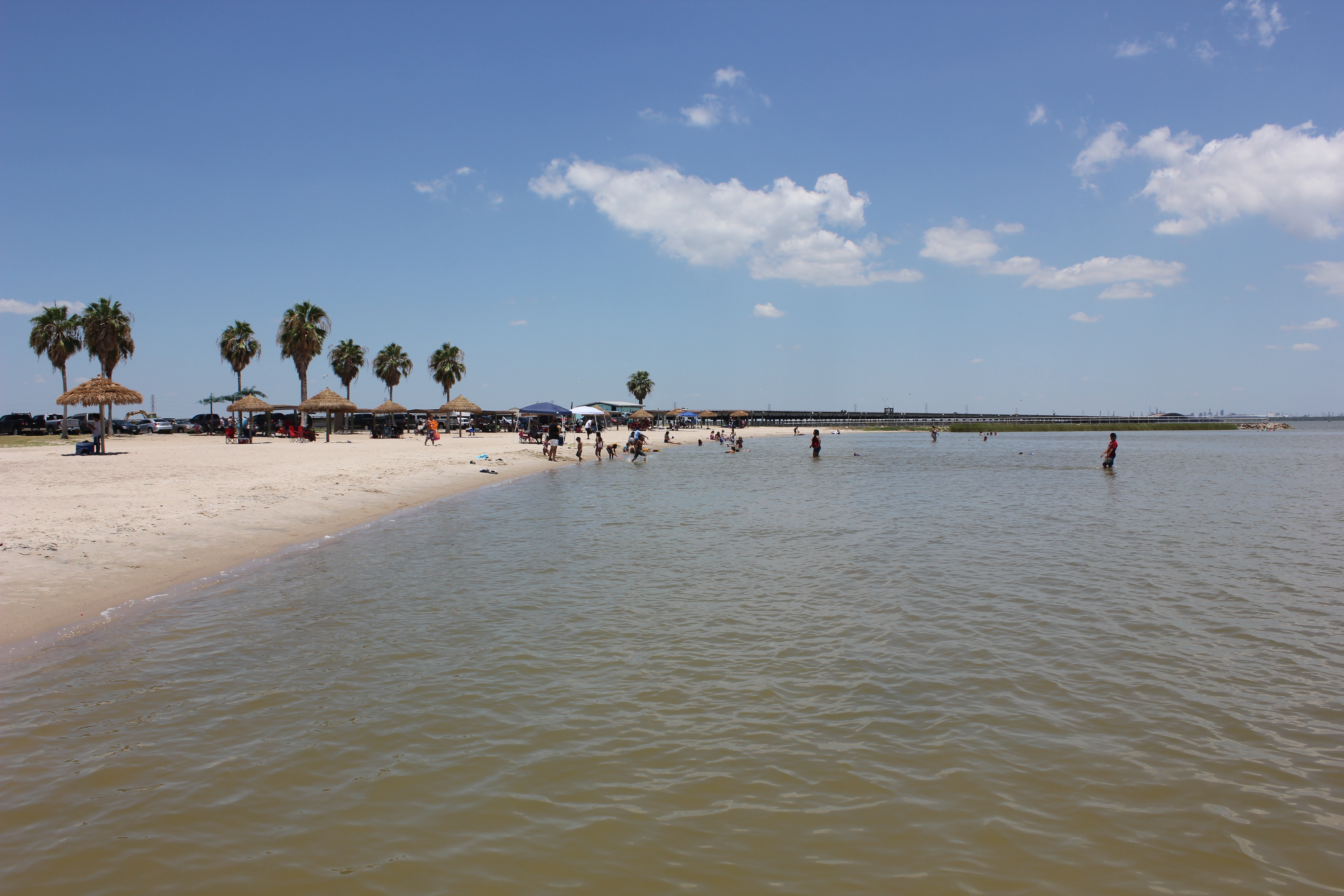
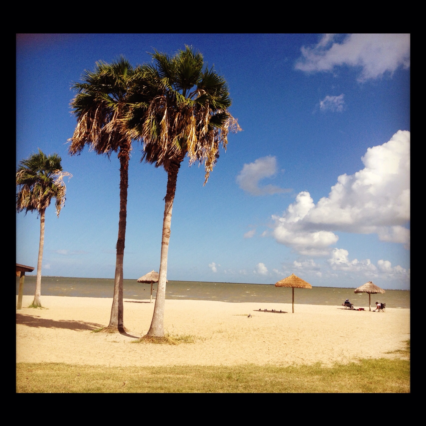
Port Lavaca Beach
Port Lavaca, Texas
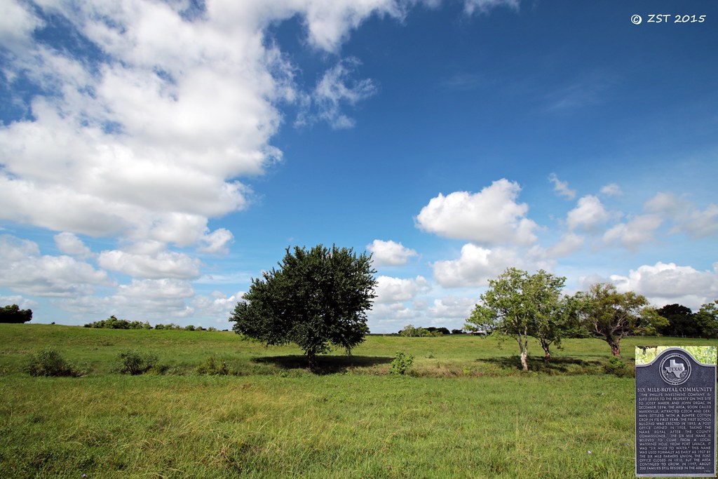
Historical Marker
Harbor @ Lavaca
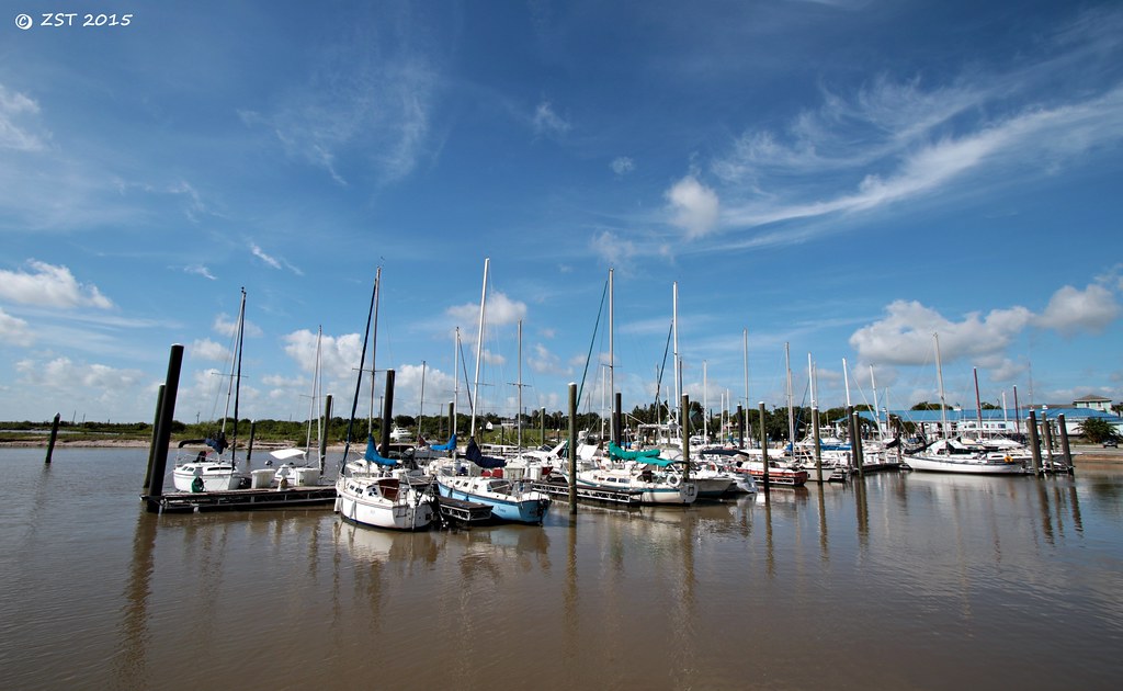
Marina @ Lavaca
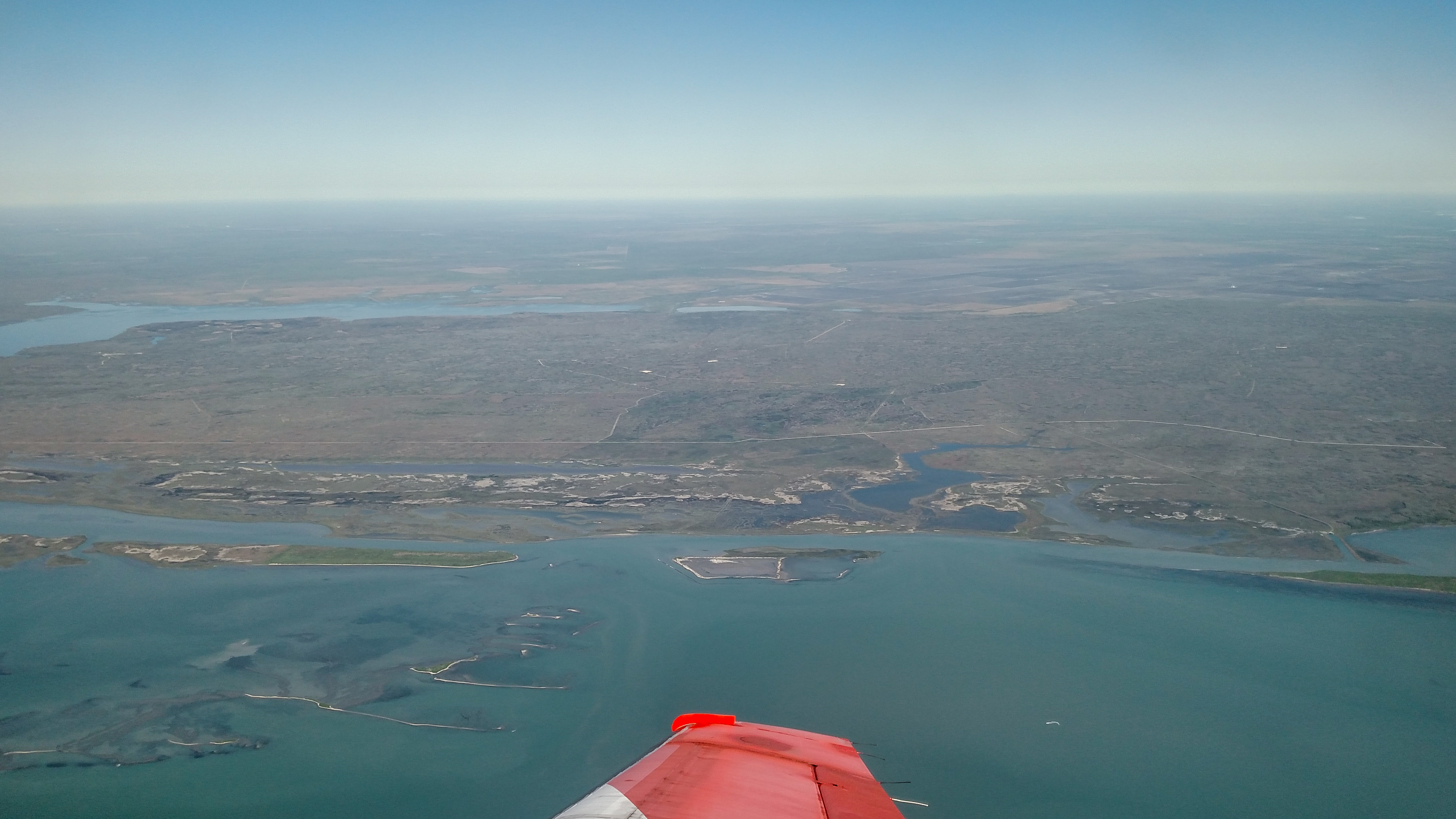
Advanced Flight Training (109 of 126)
Topographic Map of FM, Port Lavaca, TX, USA
Find elevation by address:

Places near FM, Port Lavaca, TX, USA:
Bayou Drive
120 Hengst Rd
120 Hengst Rd
Calhoun High School
254 Buren Rd
618 Border St
Randle Road
2499 W Austin St
West Austin Street
1701 N Virginia St
105 Brentwood Pl
123 Dan Ave
2235 Leon Dr
217 Suncrest Dr
1409 W Austin St
Westwood Drive
2102 Jackson St
1409 Holloman Dr
413 Candlelight Ln
Second Street
Recent Searches:
- Elevation of Corso Fratelli Cairoli, 35, Macerata MC, Italy
- Elevation of Tallevast Rd, Sarasota, FL, USA
- Elevation of 4th St E, Sonoma, CA, USA
- Elevation of Black Hollow Rd, Pennsdale, PA, USA
- Elevation of Oakland Ave, Williamsport, PA, USA
- Elevation of Pedrógão Grande, Portugal
- Elevation of Klee Dr, Martinsburg, WV, USA
- Elevation of Via Roma, Pieranica CR, Italy
- Elevation of Tavkvetili Mountain, Georgia
- Elevation of Hartfords Bluff Cir, Mt Pleasant, SC, USA