Elevation of Buren Rd, Port Lavaca, TX, USA
Location: United States > Texas > Calhoun County > Port Lavaca >
Longitude: -96.650829
Latitude: 28.5806429
Elevation: 5m / 16feet
Barometric Pressure: 101KPa
Elevation Map:
Satellite Map:
Related Photos:
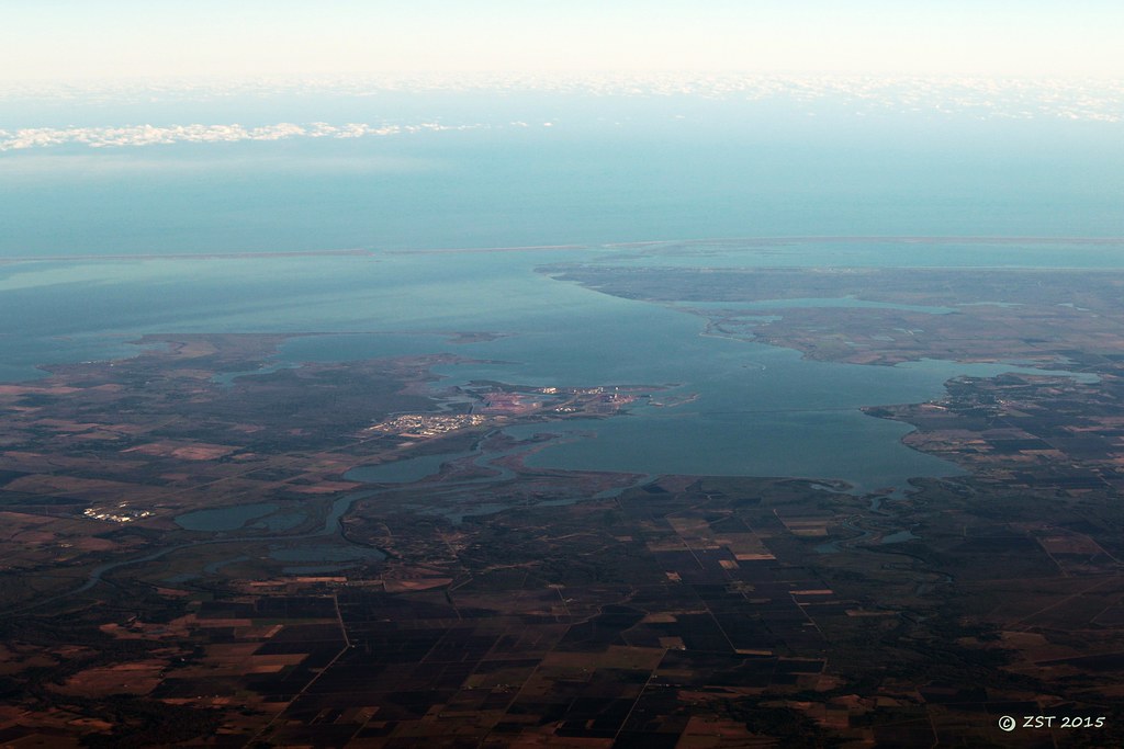
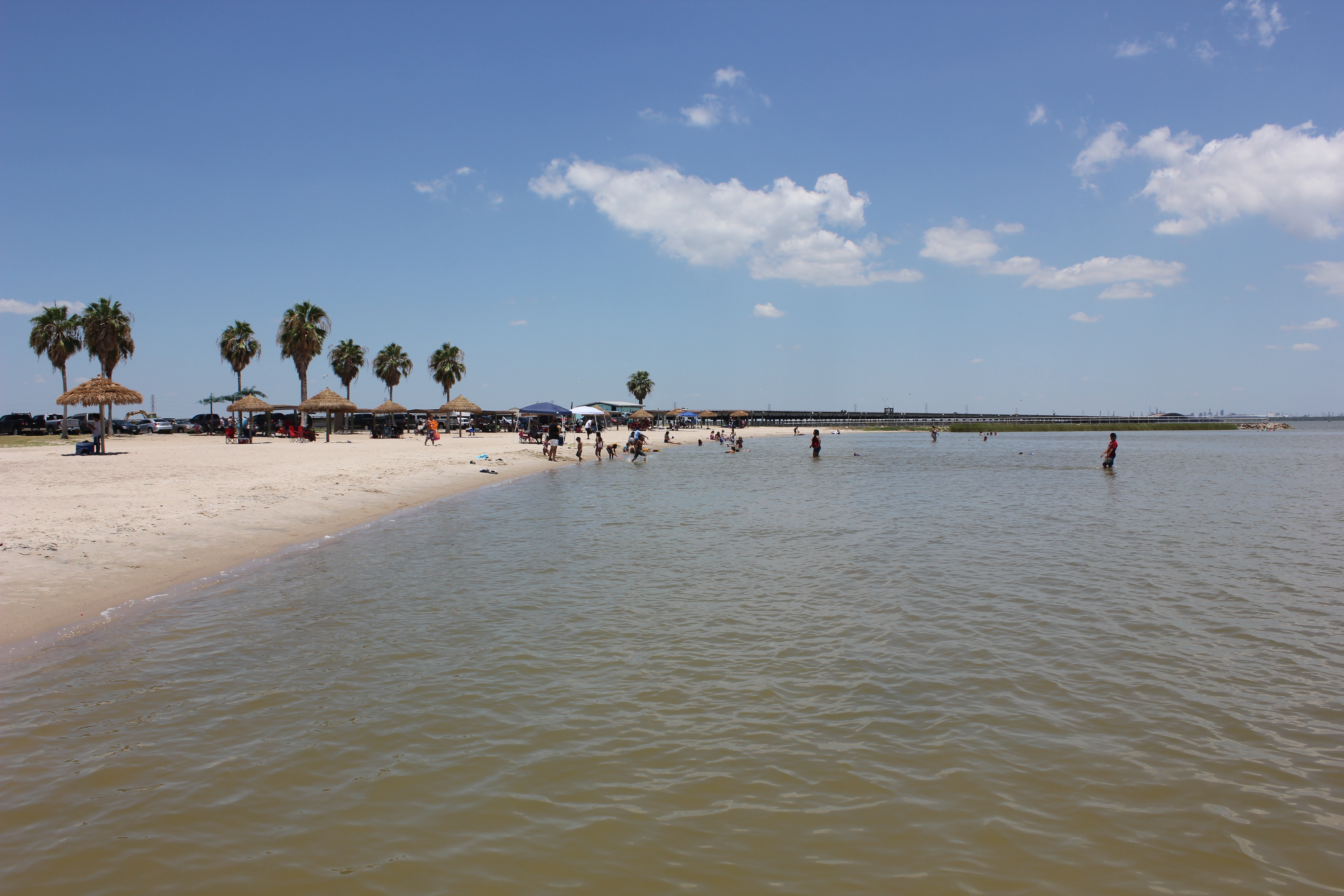
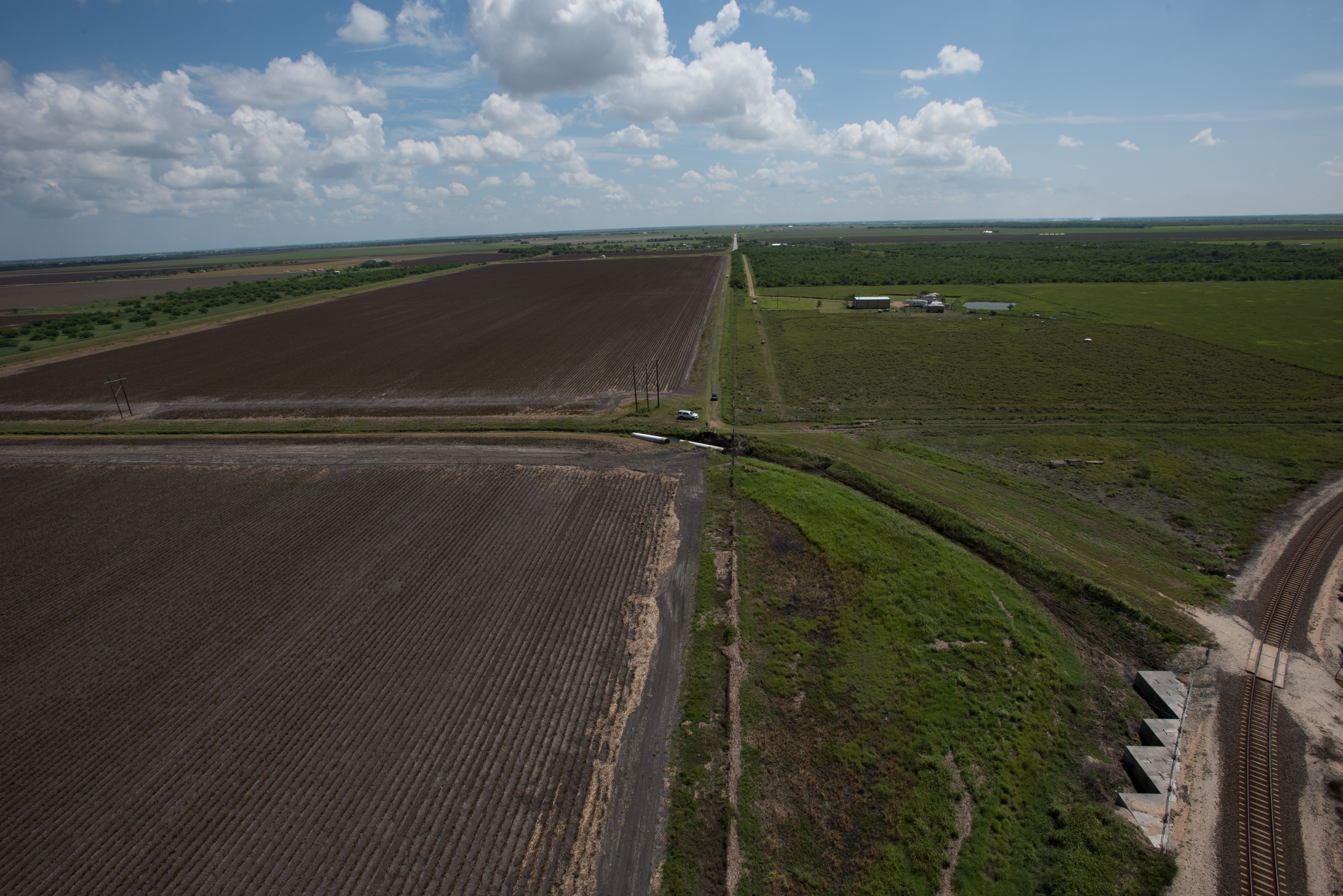
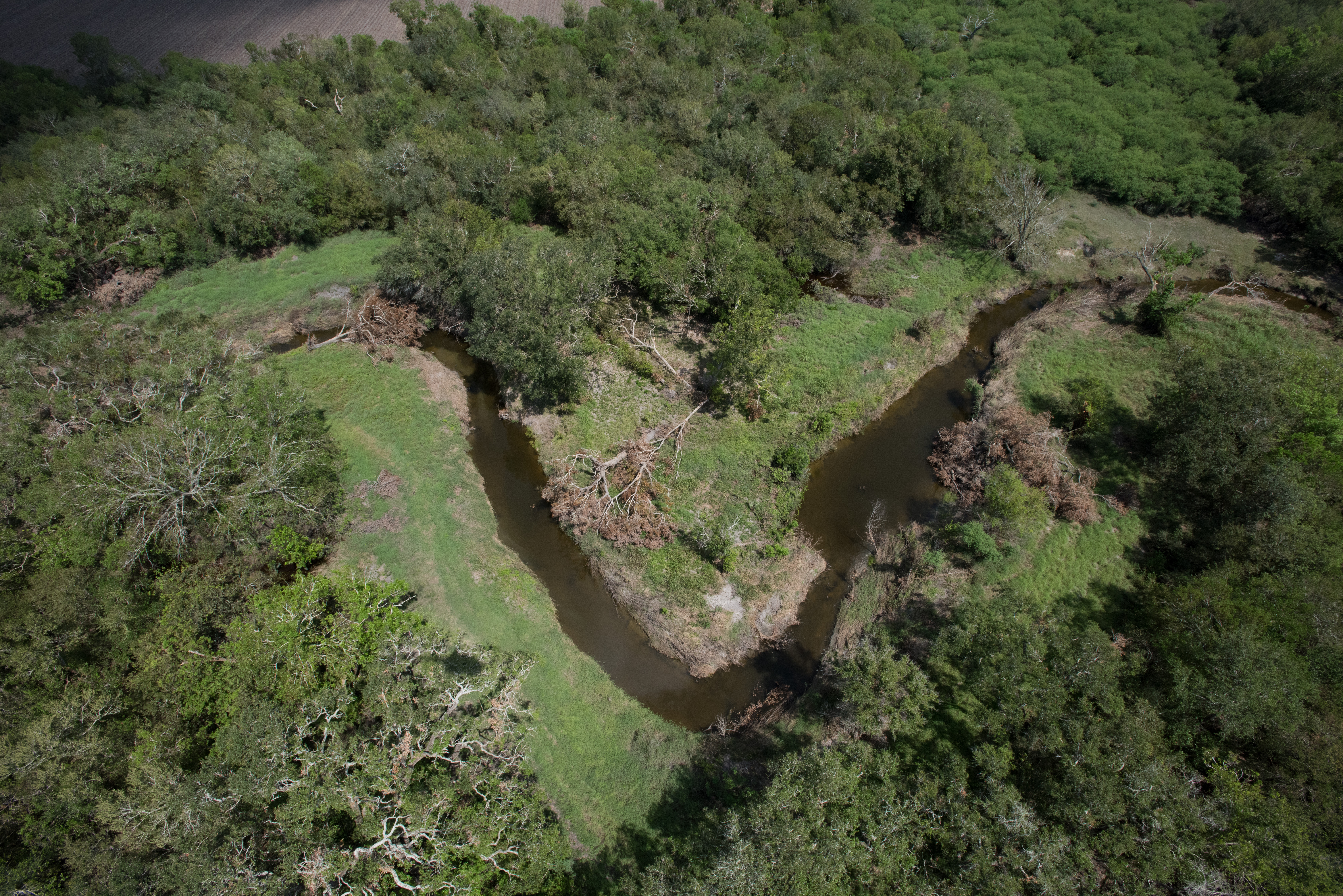
Lavaca Bay
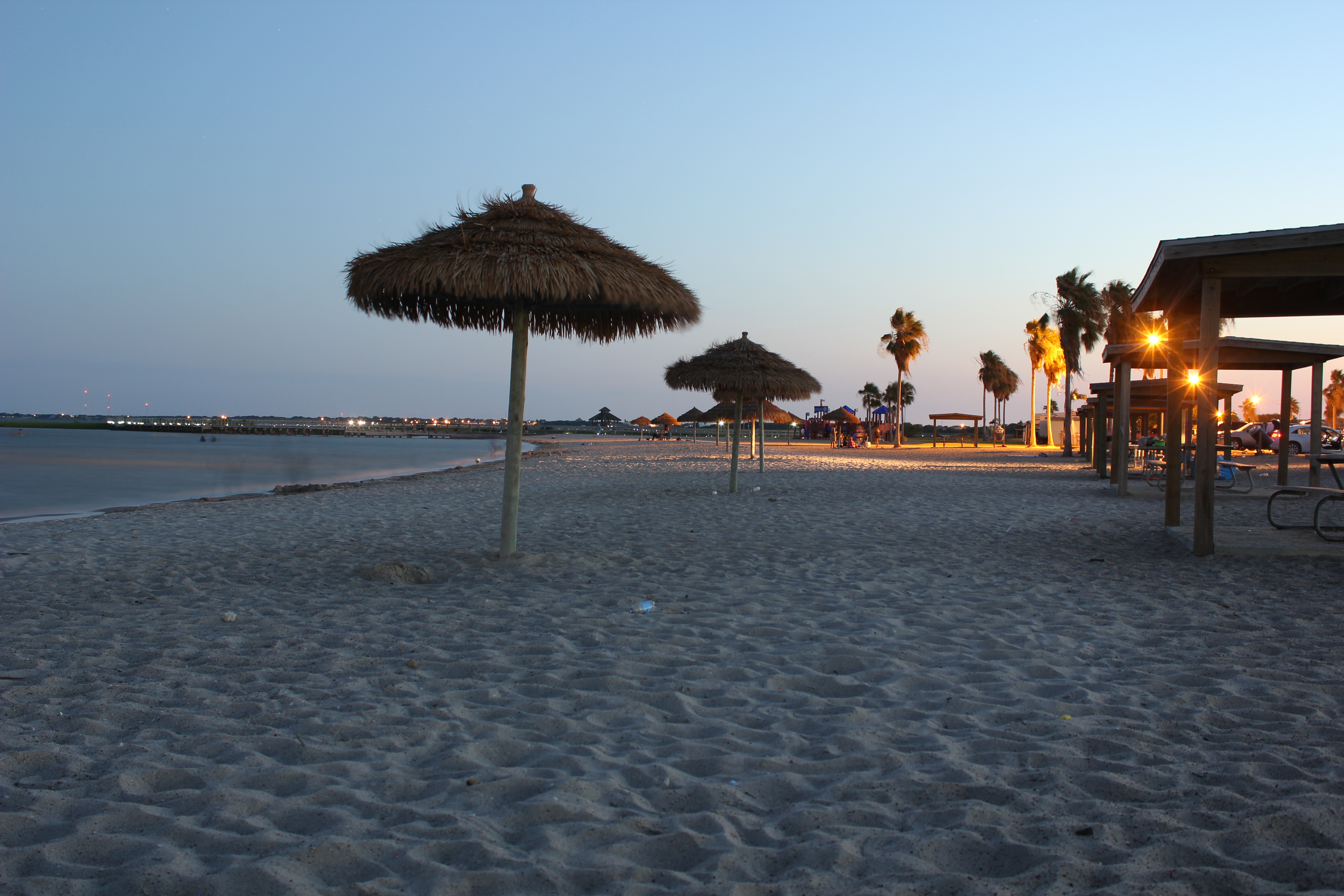
The Sunset at the Beachouse
Beautiful Colors

16 Sun Set
Port Lavaca, Texas
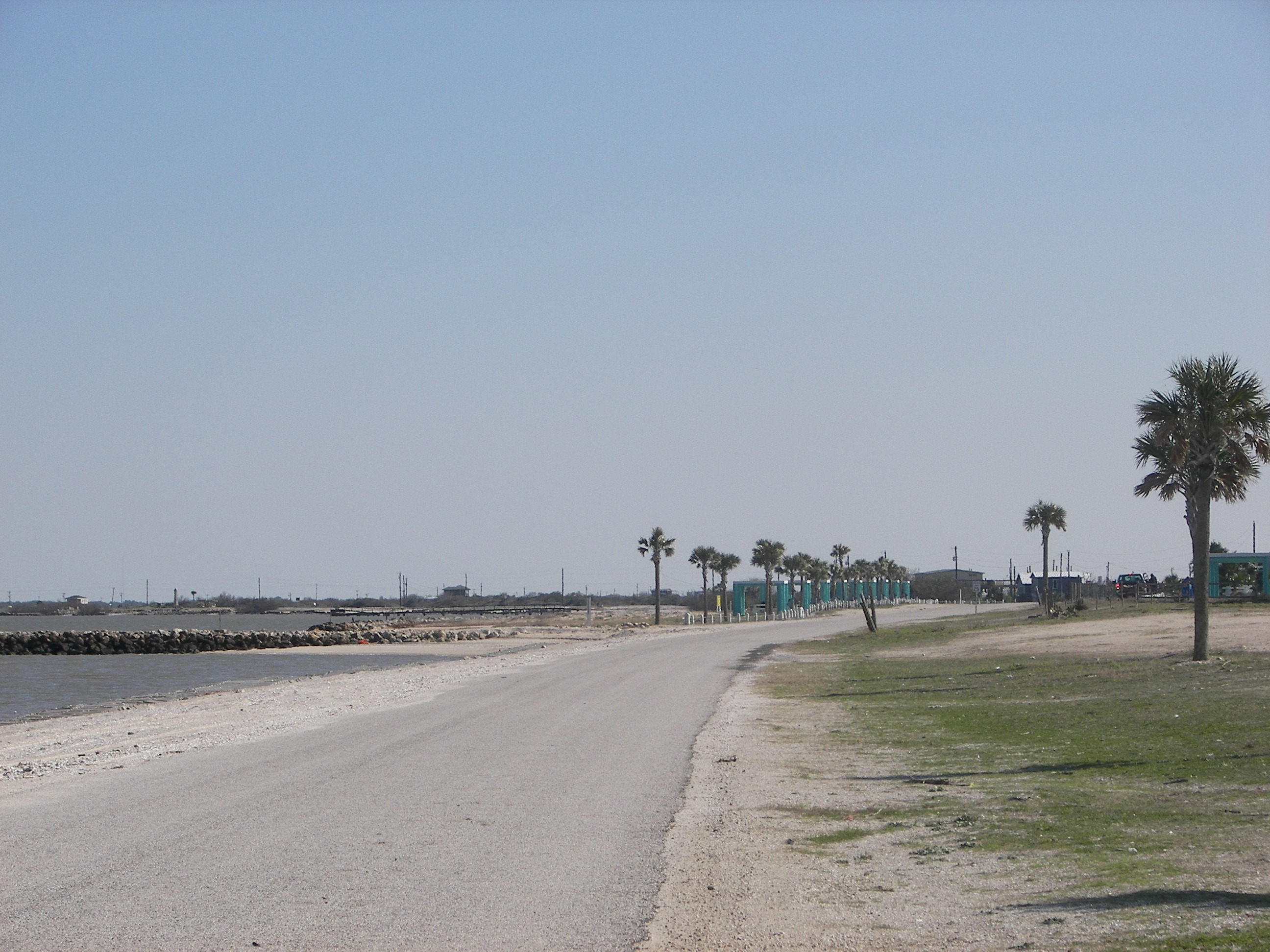
Port Lavaca Beach

Port Lavaca, Texas

Port Lavaca, Texas
20170919-OC-LSC-2033

20170919-OC-LSC-1427
20170919-OC-LSC-1823

20170919-OC-LSC-1681
20170919-OC-LSC-1410
20170919-OC-LSC-1287

Clapper Rail Response
20170919-OC-LSC-1582
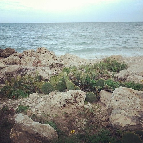
Magnolia Beach cacti...
FF10-68
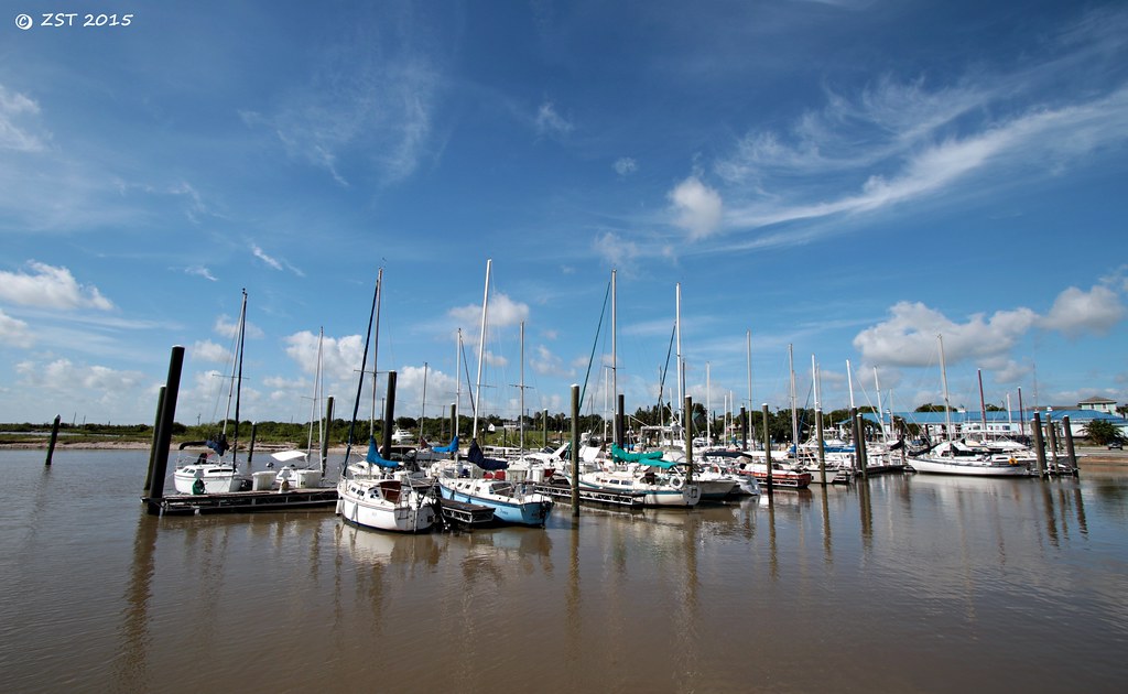
Marina @ Lavaca
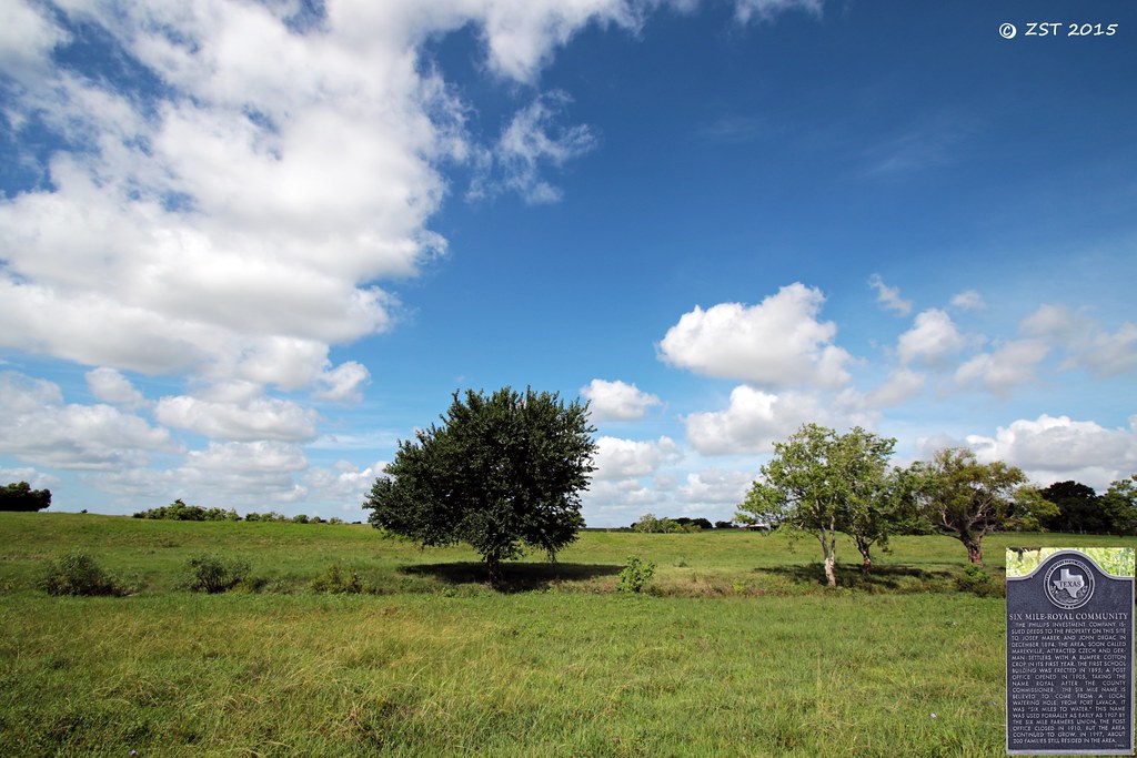
Historical Marker
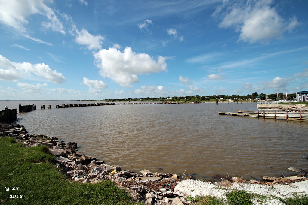
Harbor @ Lavaca
Topographic Map of Buren Rd, Port Lavaca, TX, USA
Find elevation by address:

Places near Buren Rd, Port Lavaca, TX, USA:
Randle Road
2499 W Austin St
2235 Leon Dr
West Austin Street
2102 Jackson St
Redfish Retreat
433 Jack And Jill Rd
1503 Justice Dr
217 Suncrest Dr
1409 W Austin St
Jackson Roosevelt Elementary
1409 Holloman Dr
Second Street
618 Border St
832 Hackberry St
412 S Nueces St
412 N Nueces St
412 N Nueces St
412 N Nueces St
412 N Nueces St
Recent Searches:
- Elevation of 30 Oak Lawn Dr, Barkhamsted, CT, USA
- Elevation of Luther Road, Luther Rd, Auburn, CA, USA
- Elevation of Unnamed Road, Respublika Severnaya Osetiya — Alaniya, Russia
- Elevation of Verkhny Fiagdon, North Ossetia–Alania Republic, Russia
- Elevation of F. Viola Hiway, San Rafael, Bulacan, Philippines
- Elevation of Herbage Dr, Gulfport, MS, USA
- Elevation of Lilac Cir, Haldimand, ON N3W 2G9, Canada
- Elevation of Harrod Branch Road, Harrod Branch Rd, Kentucky, USA
- Elevation of Wyndham Grand Barbados Sam Lords Castle All Inclusive Resort, End of Belair Road, Long Bay, Bridgetown Barbados
- Elevation of Iga Trl, Maggie Valley, NC, USA