Elevation of FM 68, Wolfe City, TX, USA
Location: United States > Texas > Hunt County > Wolfe City >
Longitude: -96.088281
Latitude: 33.46897
Elevation: 199m / 653feet
Barometric Pressure: 99KPa
Elevation Map:
Satellite Map:
Related Photos:

Window views

Bonham TX George Barber Queen Anne cottage
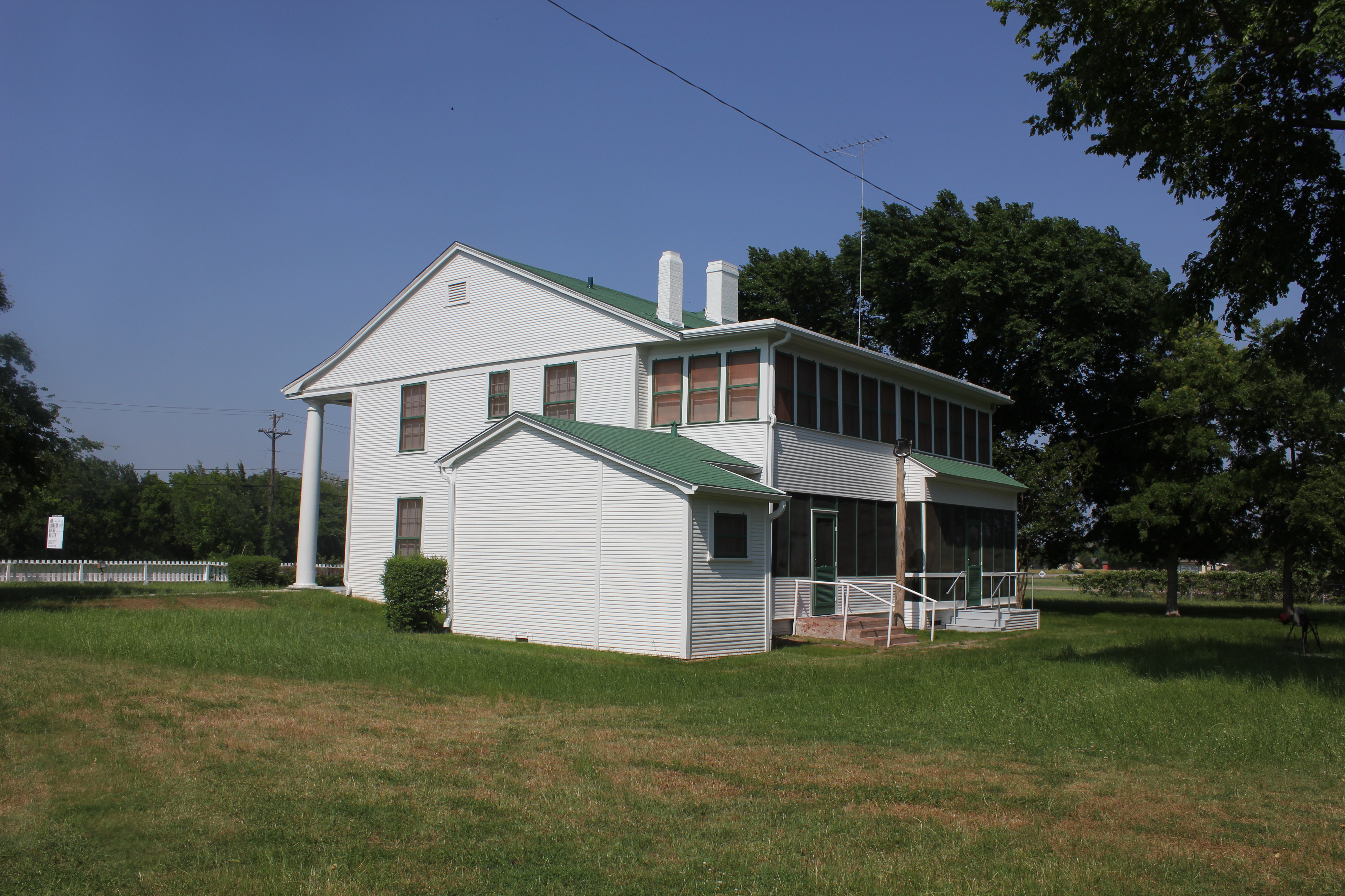
Sam Rayburn House Back, Bonham, Texas
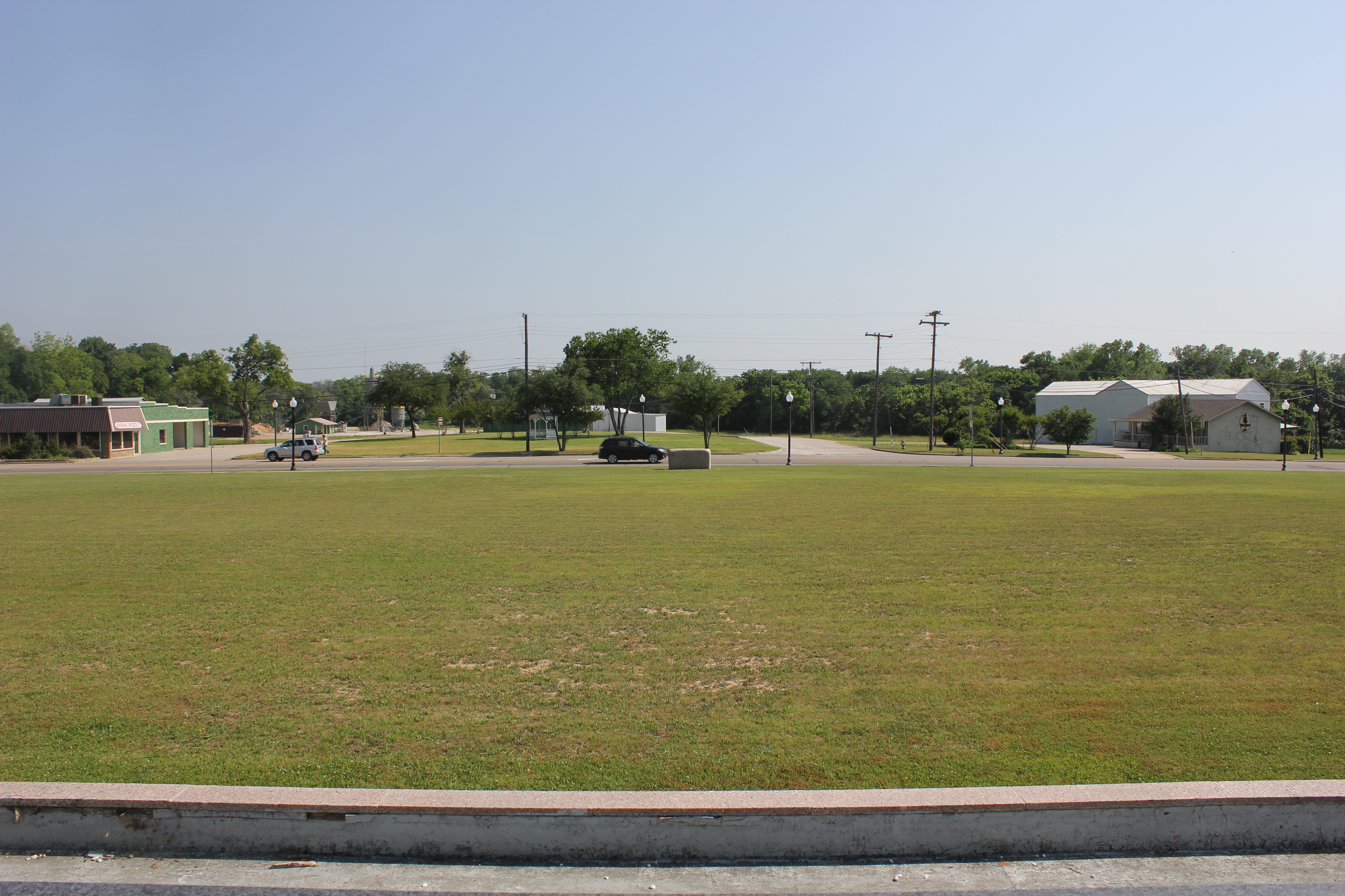
View from the highest point in Bonham!
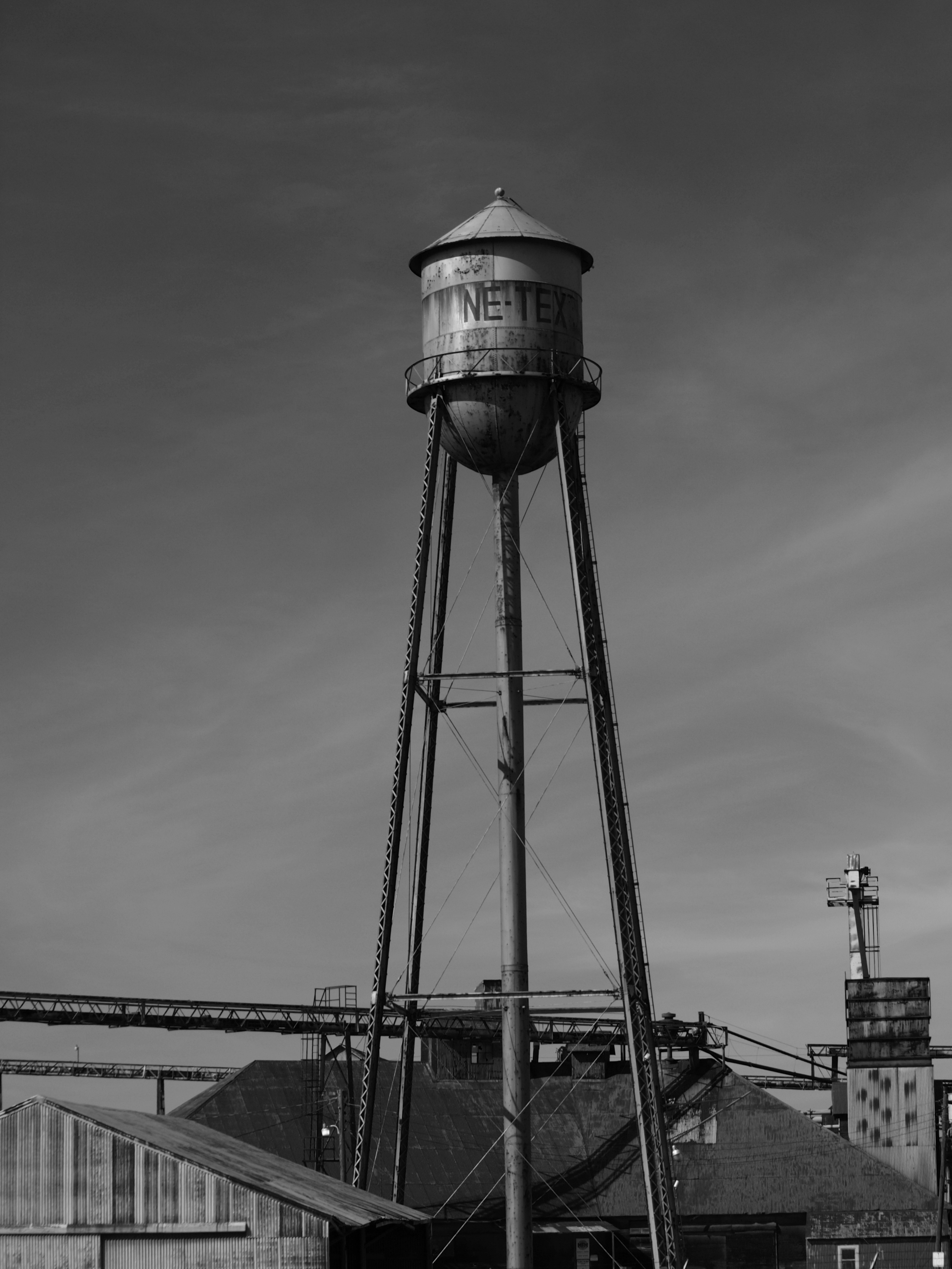
NE TEX tower
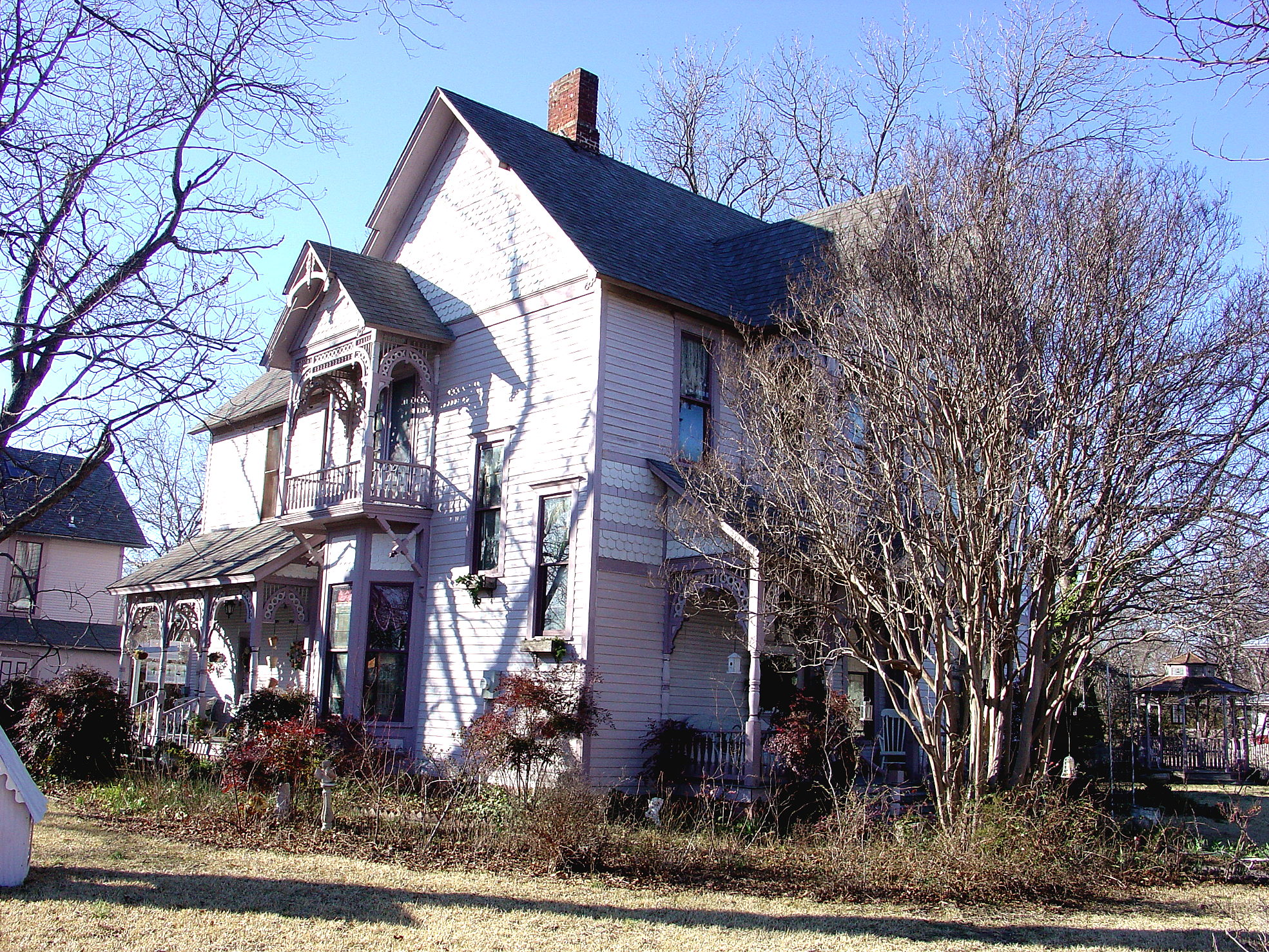
Bonham TX side view 1888-89 Clendenen House

Around Ranch

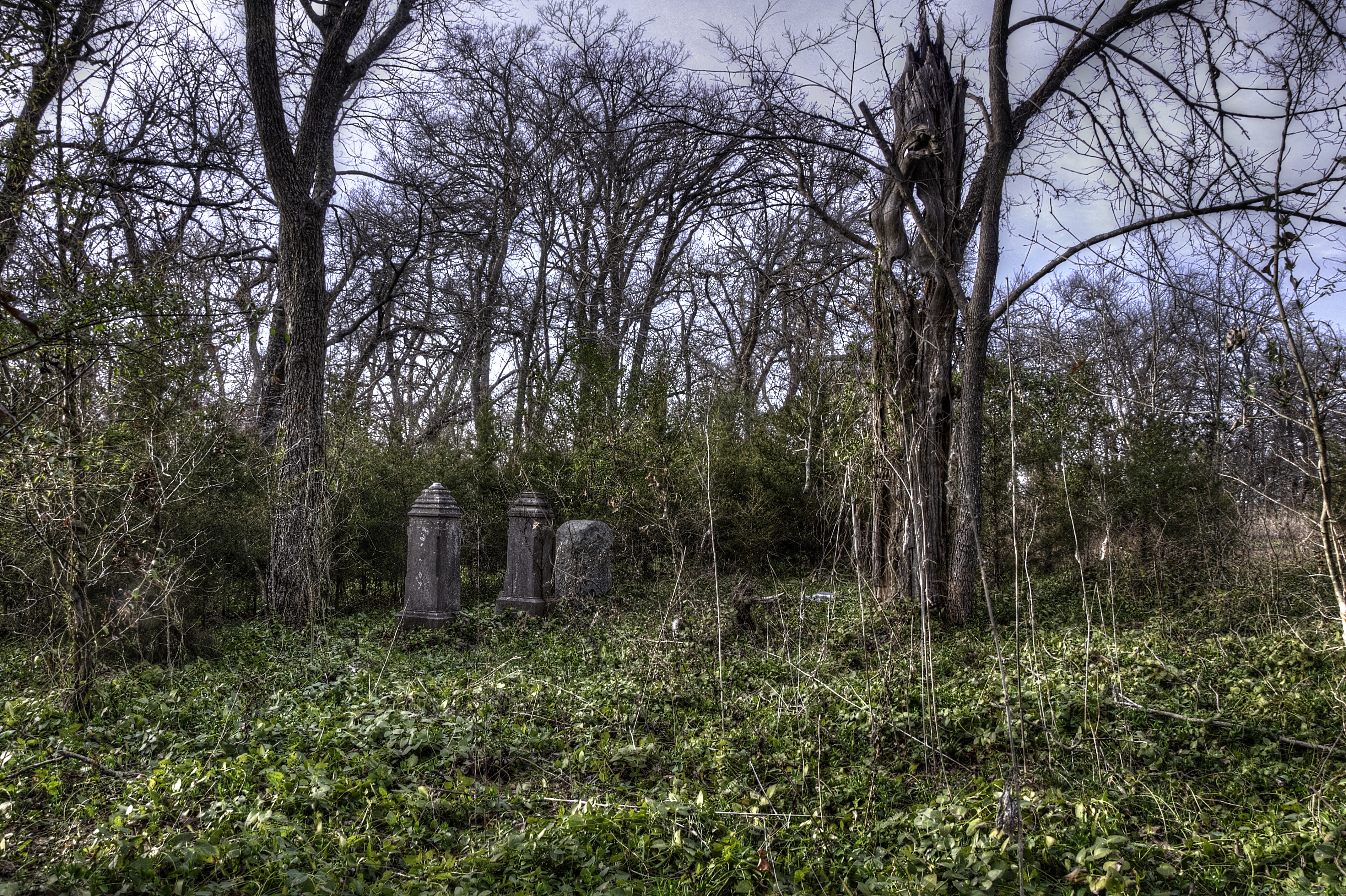
Forgotten Grave

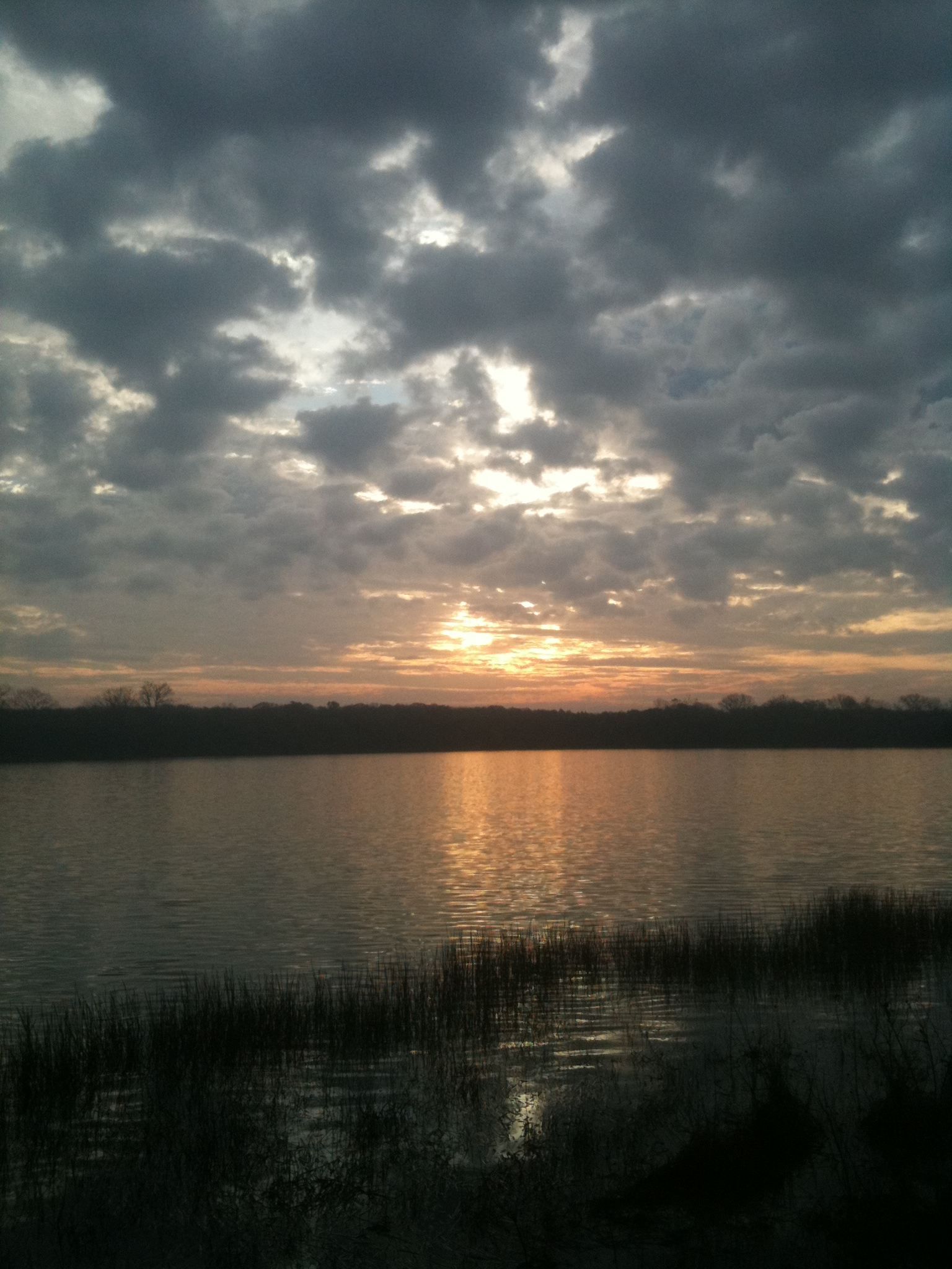
Sunset over Bonham SP Lake - Explore
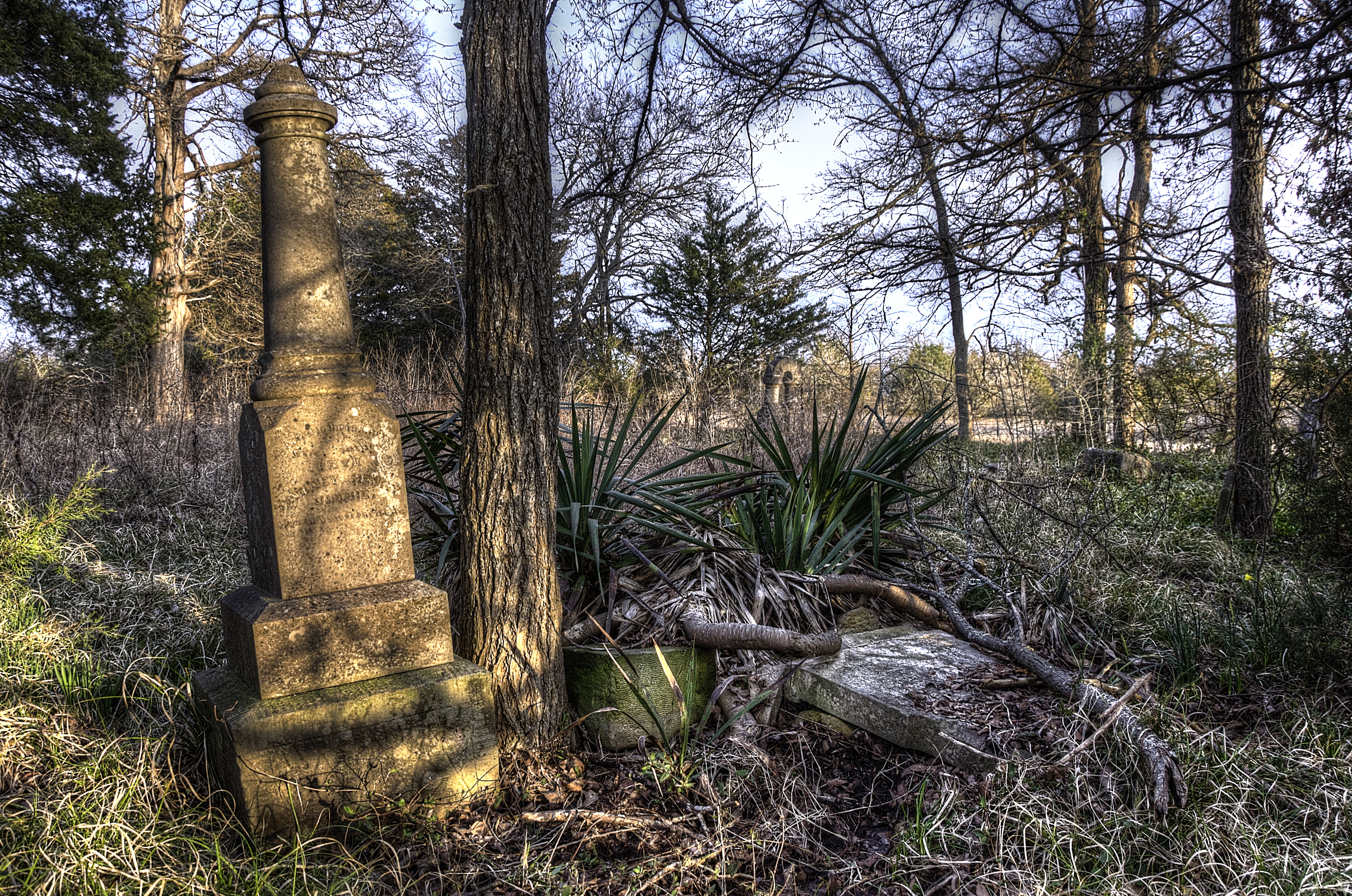
Forgotten Graves
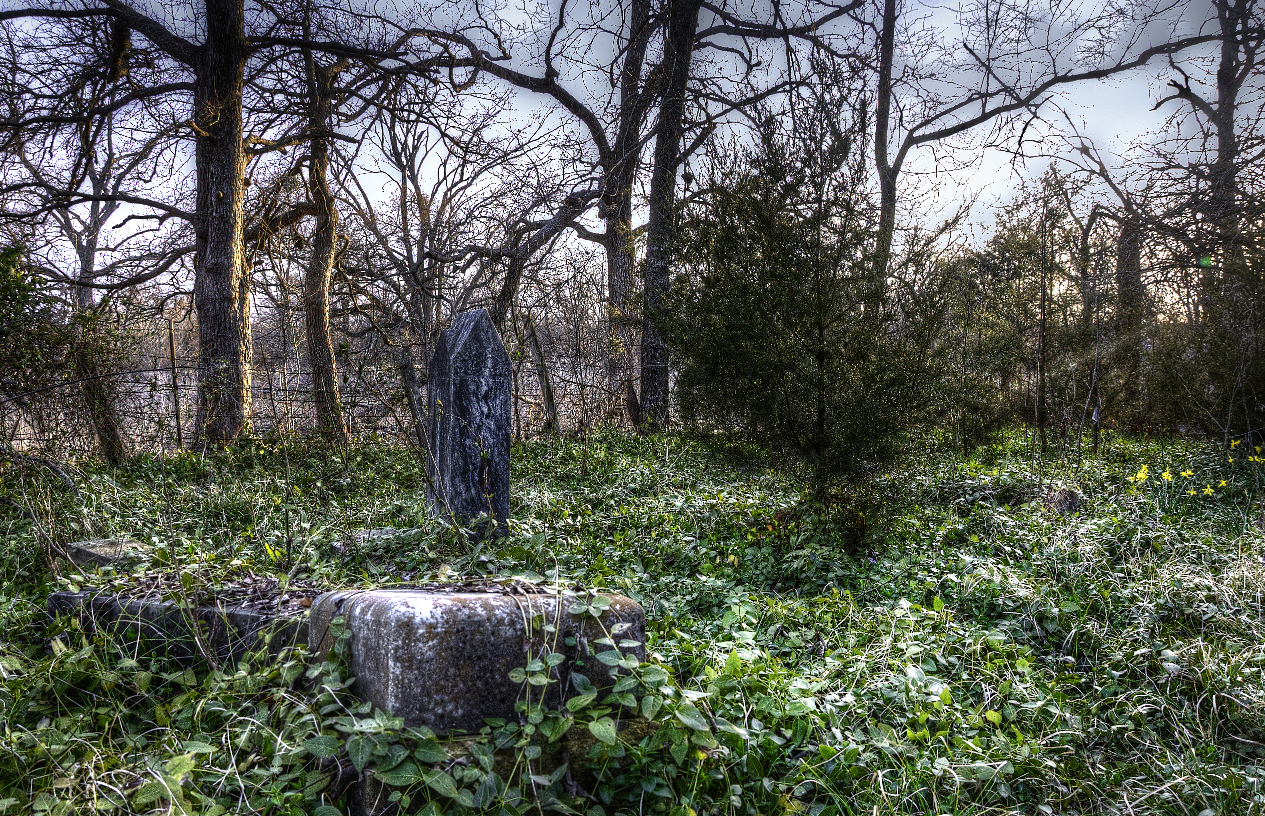
Forgotten Graves
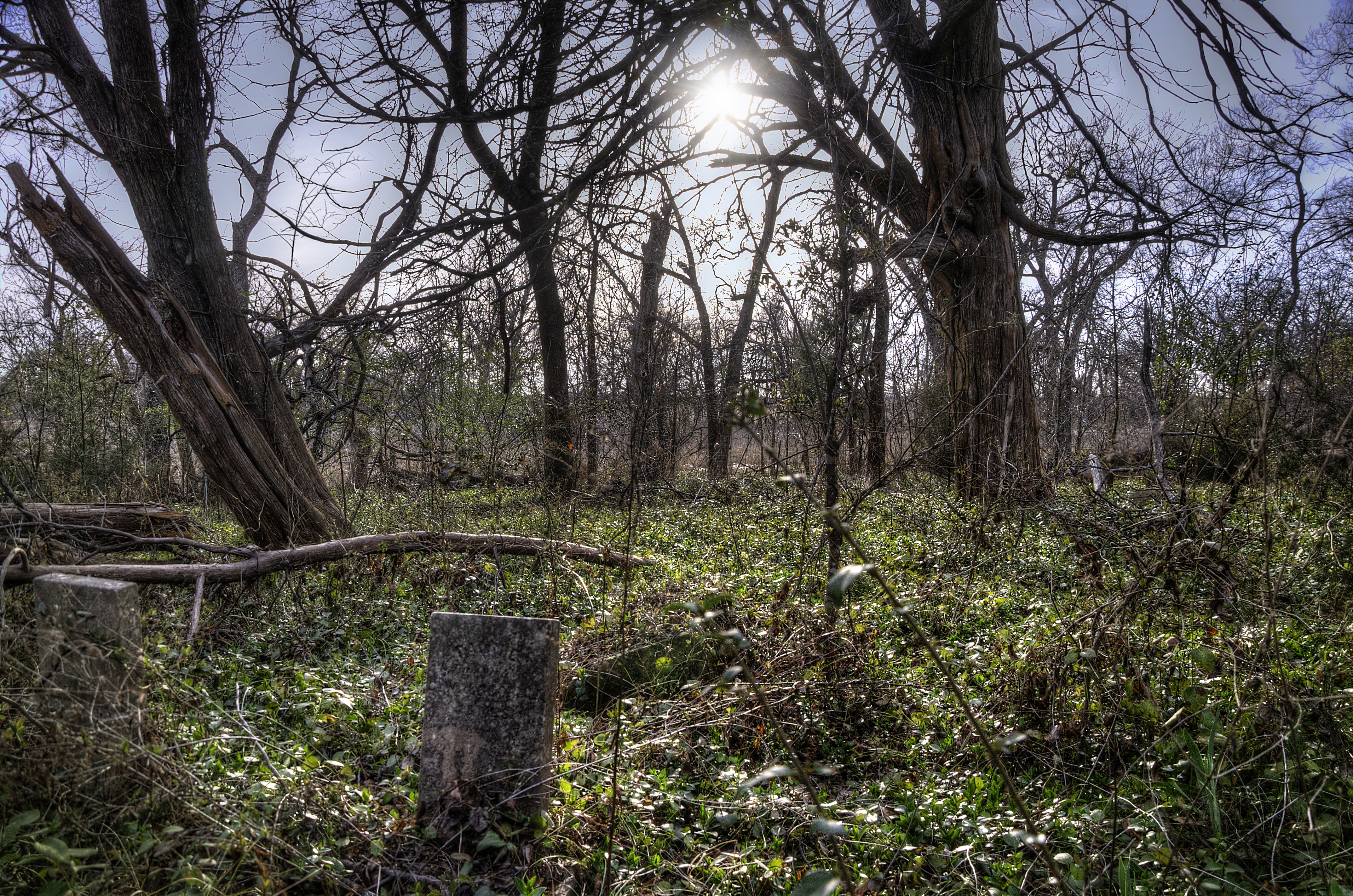
Forgotten Graves
Forgotten Grave

Forgotten Graves
Forgotten Graves
The L&N Don't Stop Here Anymore
Around Ranch
Around Ranch

Around Ranch

From Island Bayou Road
Bonham State Park

Sunflowers blooming!!

Sunflowers at sunrise.

Sunflowers blooming!!
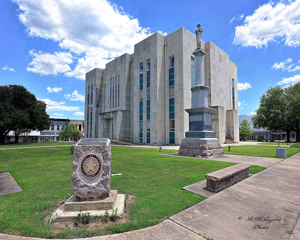
Fannin County Courthouse
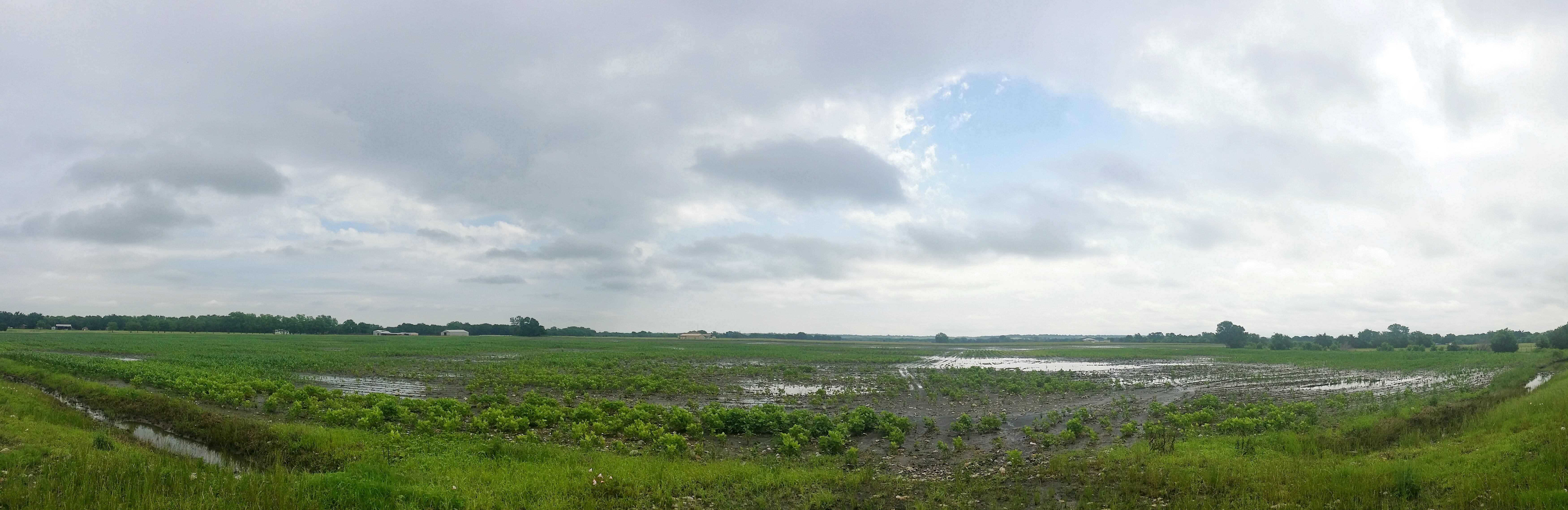
A flooded field near Leonard, TX
Topographic Map of FM 68, Wolfe City, TX, USA
Find elevation by address:

Places near FM 68, Wolfe City, TX, USA:
Co Rd, Windom, TX, USA
S Fm, Bonham, TX, USA
E Fm, Ladonia, TX, USA
Bailey
FM, Ladonia, TX, USA
Wolfe City
105 Hanna St
605 Manson St
Fannin County
Wolfe City High School
FM, Ladonia, TX, USA
Pr, Ladonia, TX, USA
FM, Wolfe City, TX, USA
130 Carpenter Loop
Bonham
Fm S, Bonham, TX, USA
1530 Co Rd 4816
1206 Park Ave
833 W Sam Rayburn Dr
Ladonia
Recent Searches:
- Elevation of Lampiasi St, Sarasota, FL, USA
- Elevation of Elwyn Dr, Roanoke Rapids, NC, USA
- Elevation of Congressional Dr, Stevensville, MD, USA
- Elevation of Bellview Rd, McLean, VA, USA
- Elevation of Stage Island Rd, Chatham, MA, USA
- Elevation of Shibuya Scramble Crossing, 21 Udagawacho, Shibuya City, Tokyo -, Japan
- Elevation of Jadagoniai, Kaunas District Municipality, Lithuania
- Elevation of Pagonija rock, Kranto 7-oji g. 8"N, Kaunas, Lithuania
- Elevation of Co Rd 87, Jamestown, CO, USA
- Elevation of Tenjo, Cundinamarca, Colombia