Elevation of Park Ave, Bonham, TX, USA
Location: United States > Texas > Fannin County > Bonham >
Longitude: -96.174897
Latitude: 33.58535
Elevation: 184m / 604feet
Barometric Pressure: 99KPa
Elevation Map:
Satellite Map:
Related Photos:

Bonham TX George Barber Queen Anne cottage
Sam Rayburn House Back, Bonham, Texas
View from the highest point in Bonham!
Bonham TX side view 1888-89 Clendenen House
The L&N Don't Stop Here Anymore
Lil' bit o' this, good for the constitution. #sunset #bonham #texas #bigsky
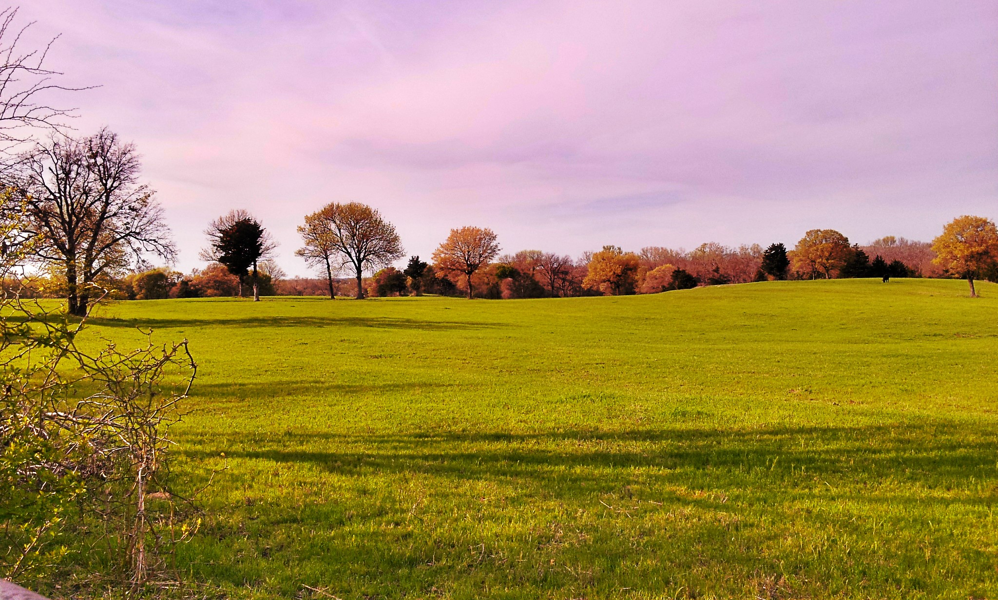
Around Ranch
Around Ranch

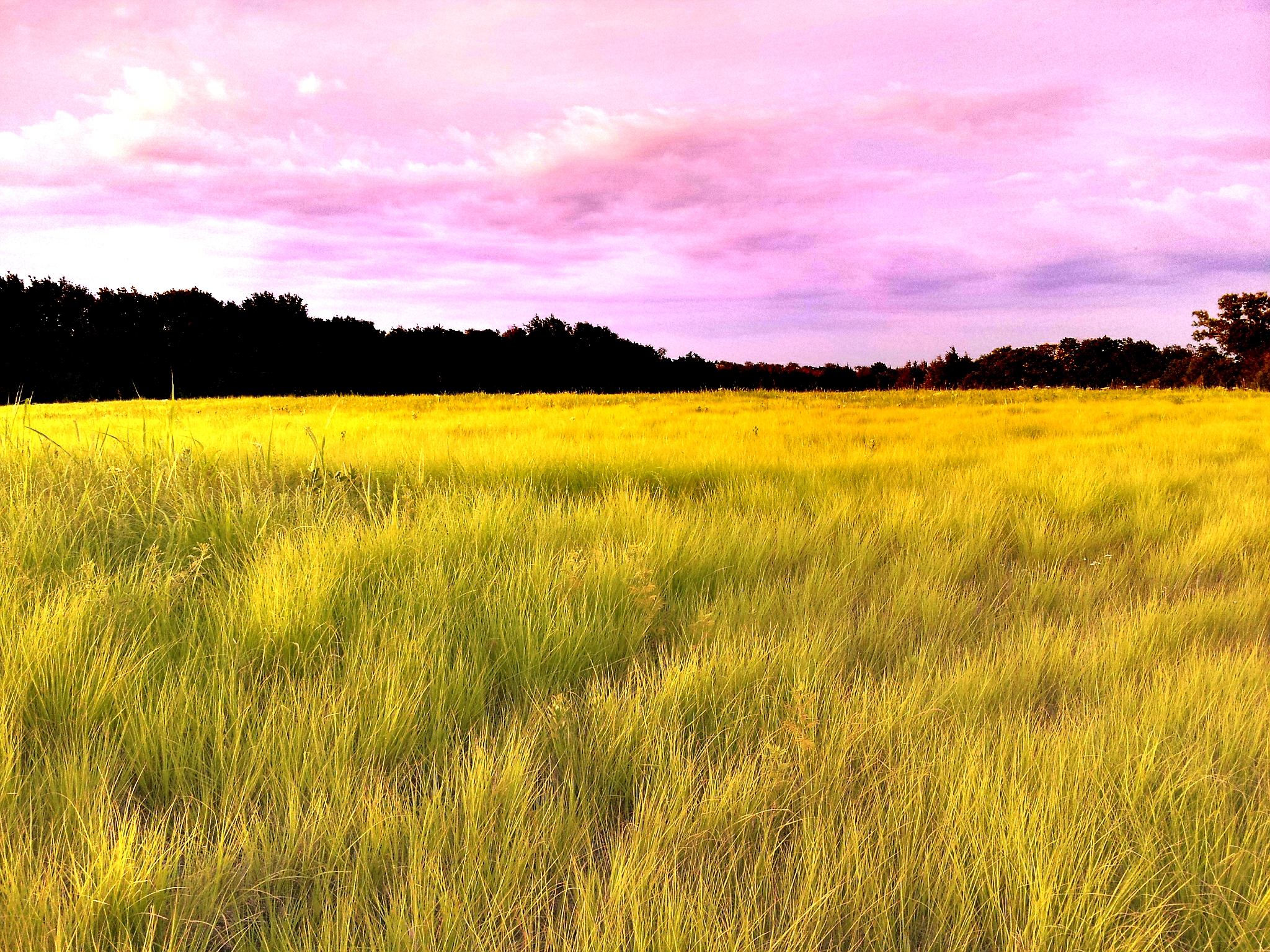
From Island Bayou Road

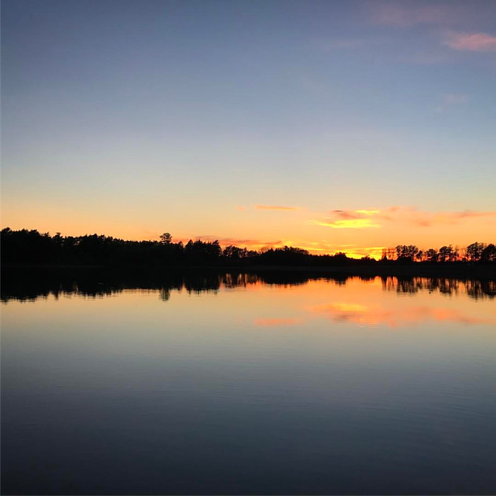
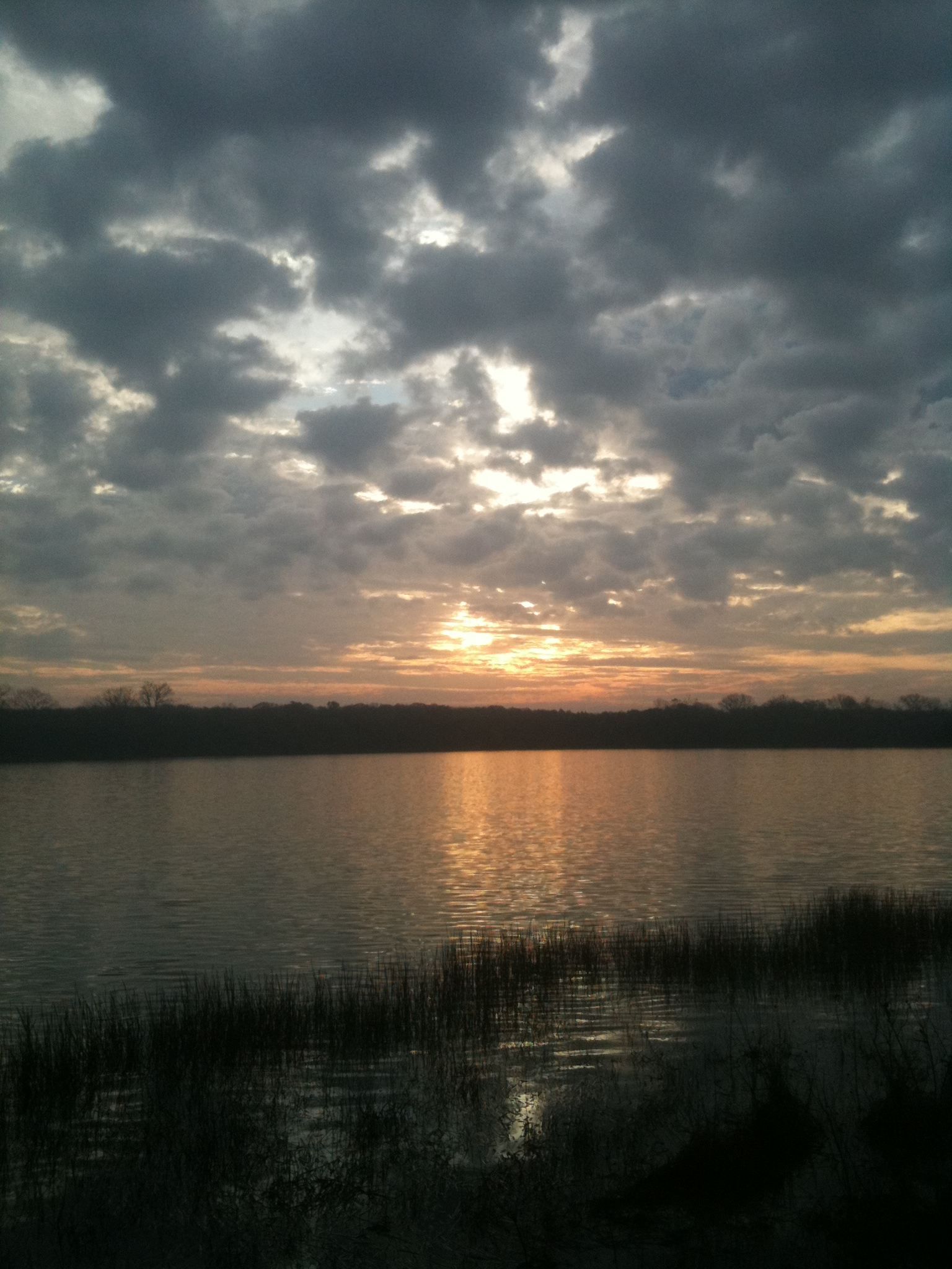
Sunset over Bonham SP Lake - Explore
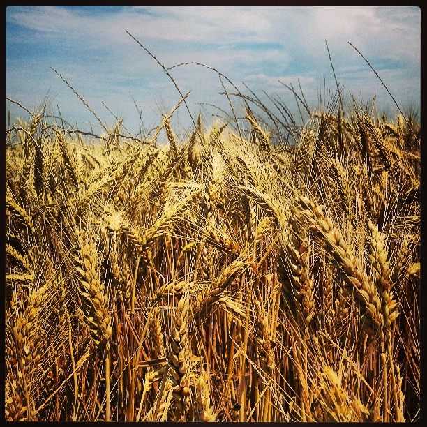
Winter wheat is ready to harvest! Beautiful golden field!
Bonham State Park

Sunflowers blooming!!

Sunflowers at sunrise.

Sunflowers blooming!!
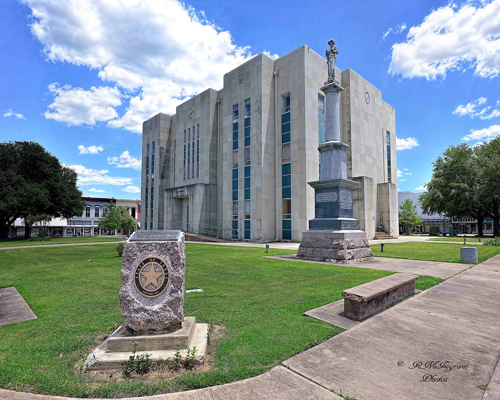
Fannin County Courthouse
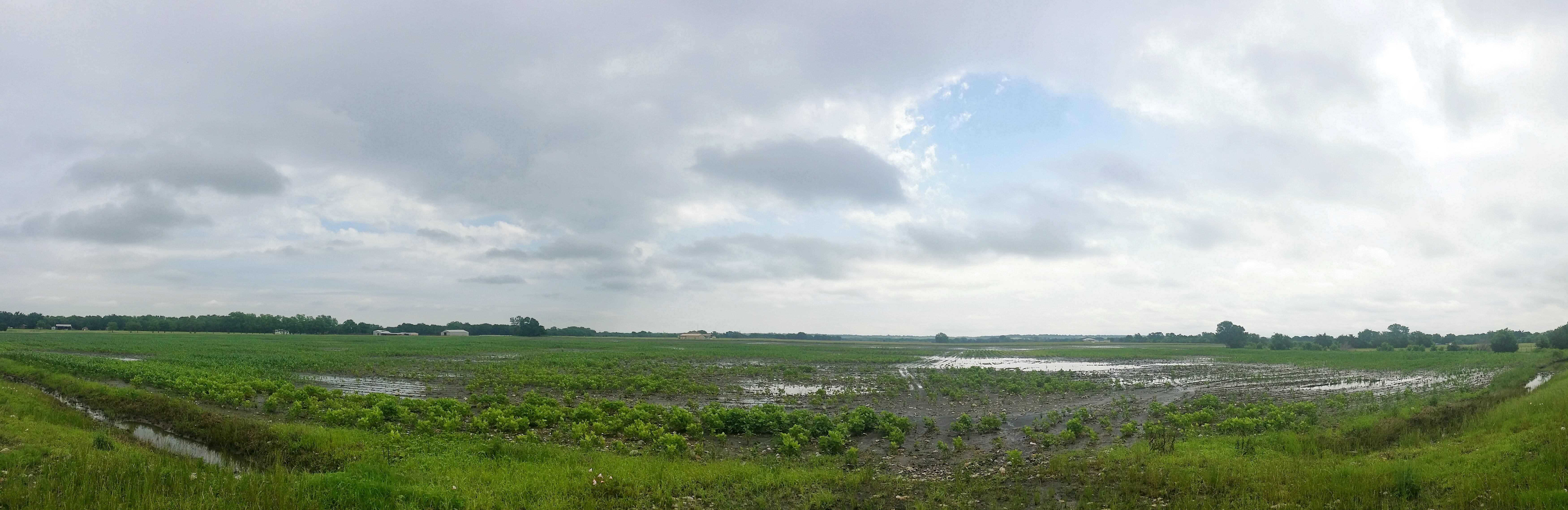
A flooded field near Leonard, TX
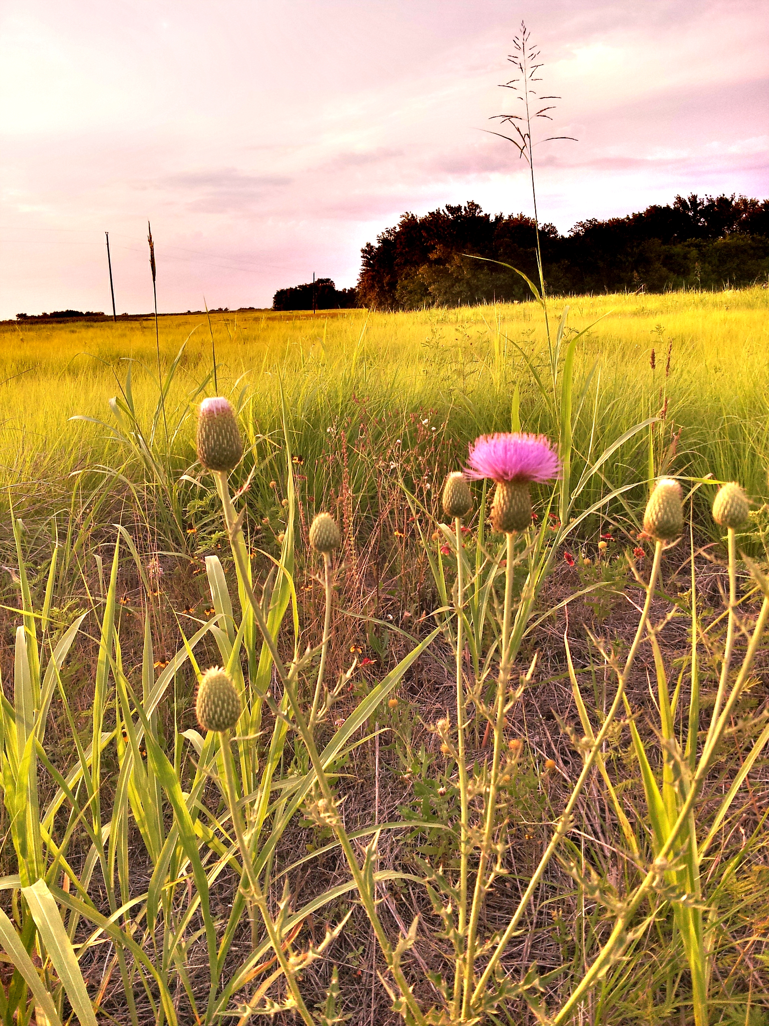
Around Ranch
Topographic Map of Park Ave, Bonham, TX, USA
Find elevation by address:

Places near Park Ave, Bonham, TX, USA:
Bonham
130 Carpenter Loop
833 W Sam Rayburn Dr
702 Lusk St
2228 Island Bayou Rd
Fannin County
418 Co Rd 1535
Co Rd, Bonham, TX, USA
Fm S, Bonham, TX, USA
Cr, Randolph, TX, USA
Co Rd, Dodd City, TX, USA
1408 Co Rd 1400
Ector
964 Fm898
S Fm, Bonham, TX, USA
Randolph
959 Co Rd 2620
Ivanhoe
Co Rd, Windom, TX, USA
FM 68, Wolfe City, TX, USA
Recent Searches:
- Elevation of Unnamed Road, Respublika Severnaya Osetiya — Alaniya, Russia
- Elevation of Verkhny Fiagdon, North Ossetia–Alania Republic, Russia
- Elevation of F. Viola Hiway, San Rafael, Bulacan, Philippines
- Elevation of Herbage Dr, Gulfport, MS, USA
- Elevation of Lilac Cir, Haldimand, ON N3W 2G9, Canada
- Elevation of Harrod Branch Road, Harrod Branch Rd, Kentucky, USA
- Elevation of Wyndham Grand Barbados Sam Lords Castle All Inclusive Resort, End of Belair Road, Long Bay, Bridgetown Barbados
- Elevation of Iga Trl, Maggie Valley, NC, USA
- Elevation of N Co Rd 31D, Loveland, CO, USA
- Elevation of Lindever Ln, Palmetto, FL, USA