Elevation of FM, Ladonia, TX, USA
Location: United States > Texas > Fannin County > Ladonia >
Longitude: -95.999839
Latitude: 33.482594
Elevation: 186m / 610feet
Barometric Pressure: 99KPa
Elevation Map:
Satellite Map:
Related Photos:

Window views
Honey Grove TX George Barber Queen Anne side view
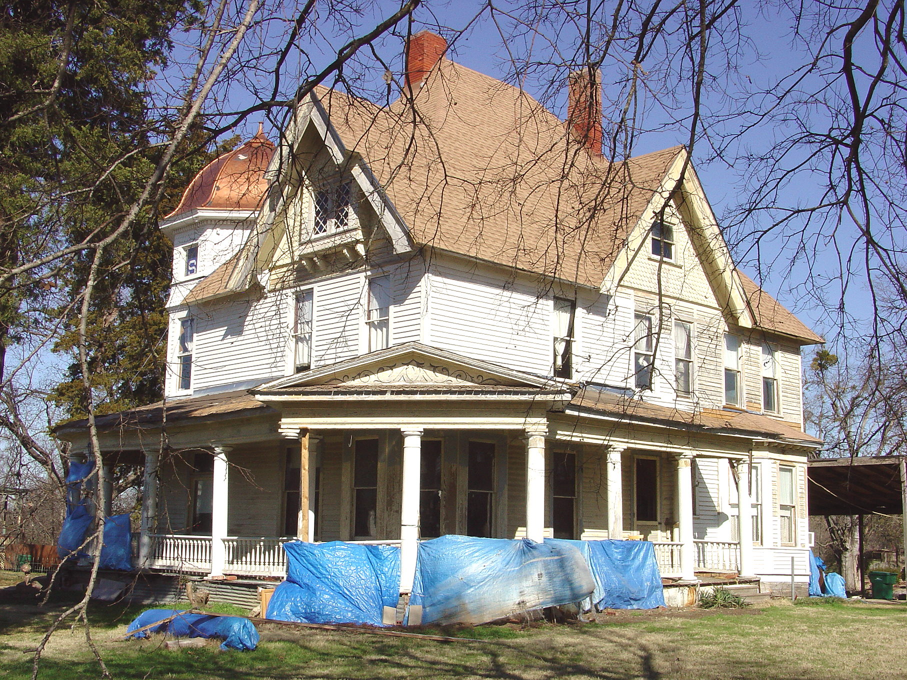
Honey Grove TX c.1890 Gross-Dial Queen Anne

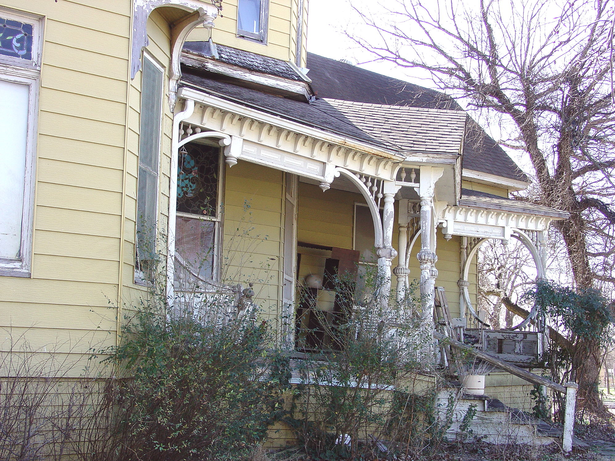
Honey Grove TX Gross-Dial House side view
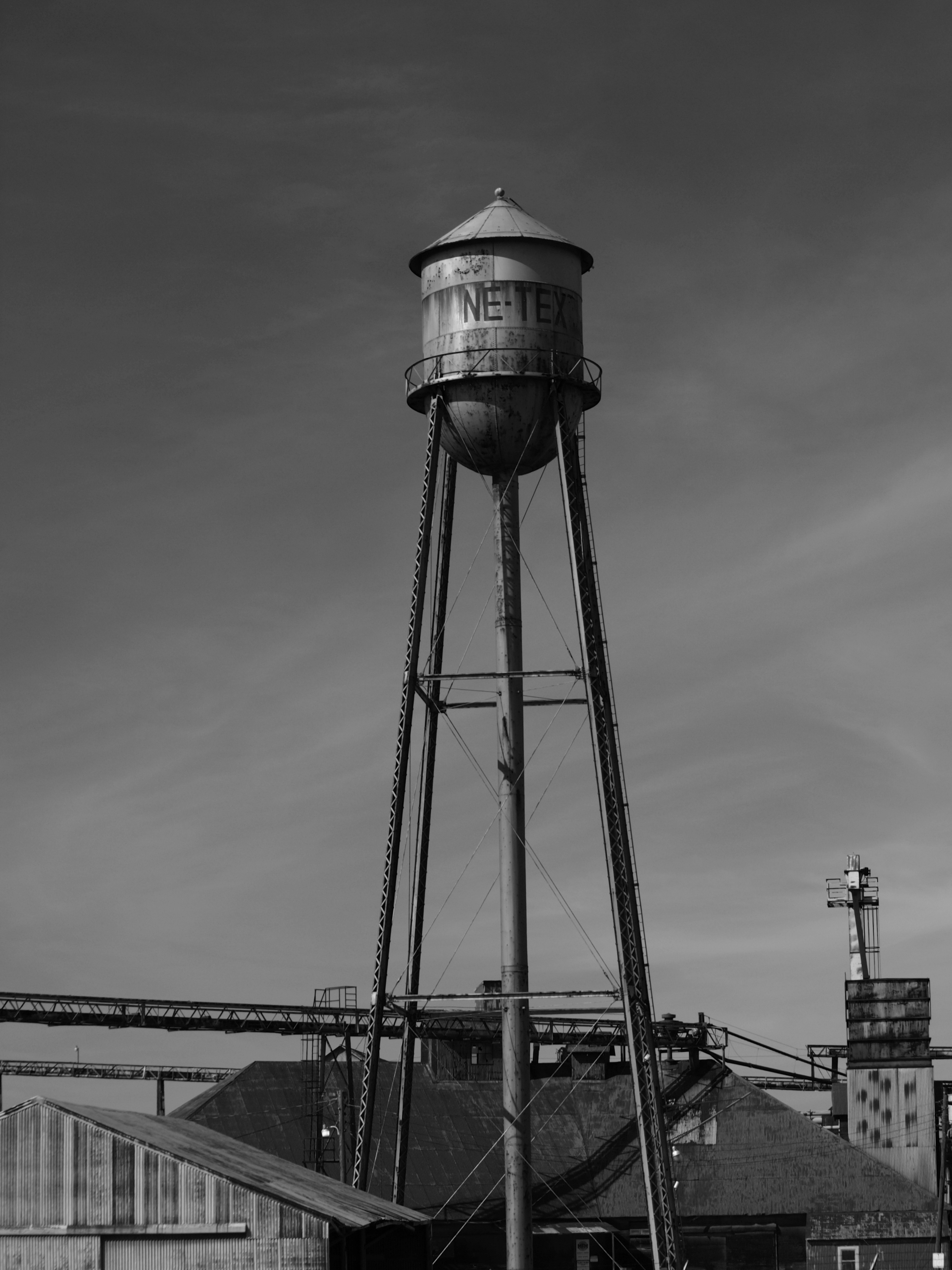
NE TEX tower
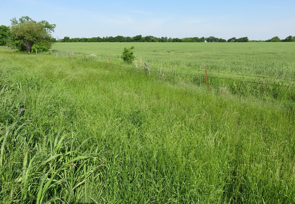
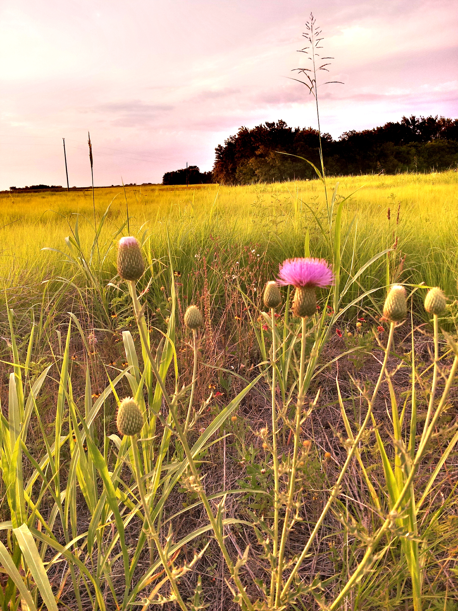
North Texas Landscape (Fannin County, Texas)
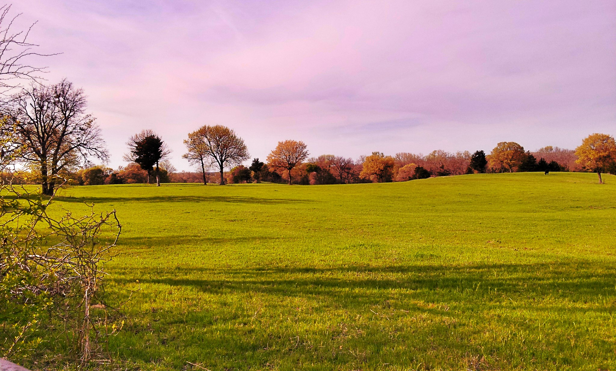
Around Ranch
Around Ranch

Around Ranch
Around Ranch

Sunset over Bonham SP Lake - Explore

Can we fly away....

Bonham State Park

Painted sky

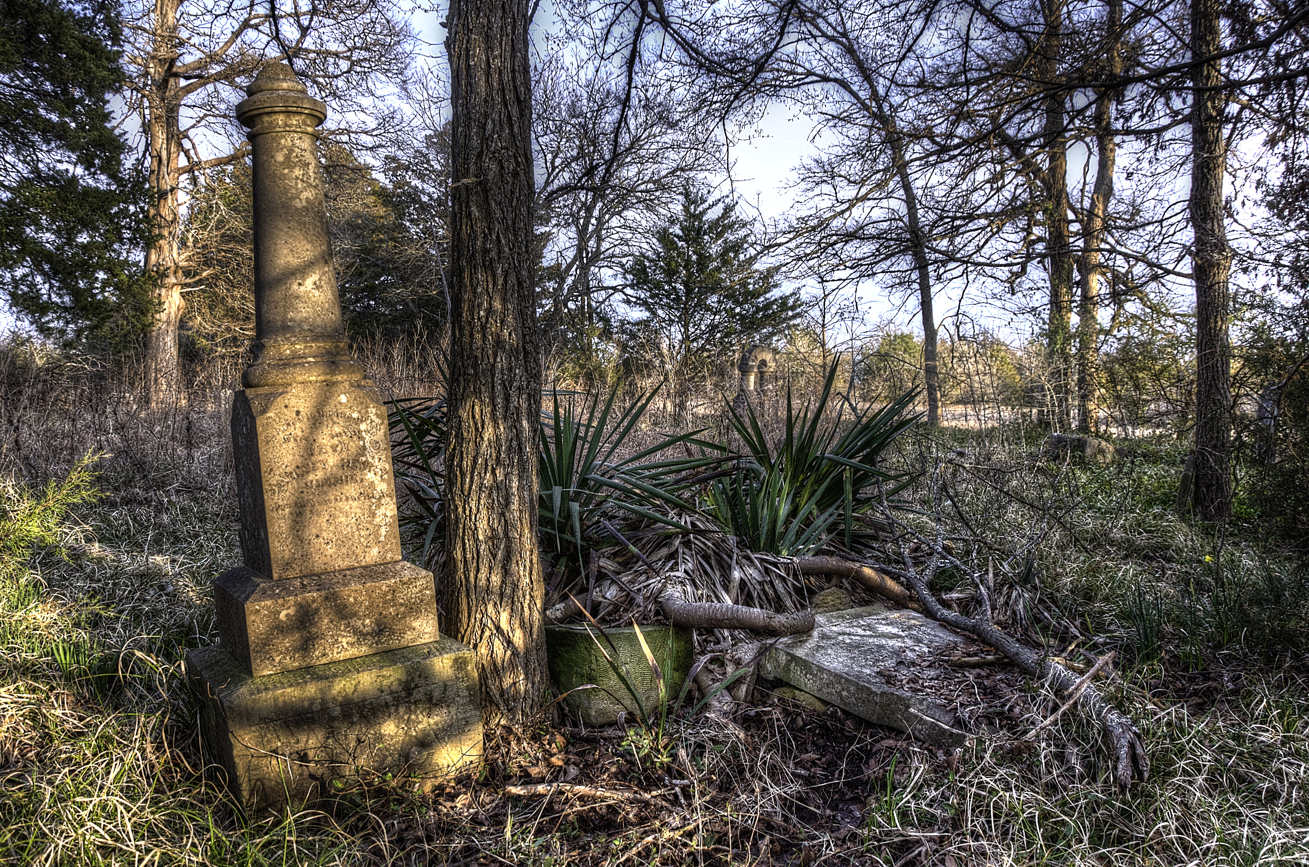
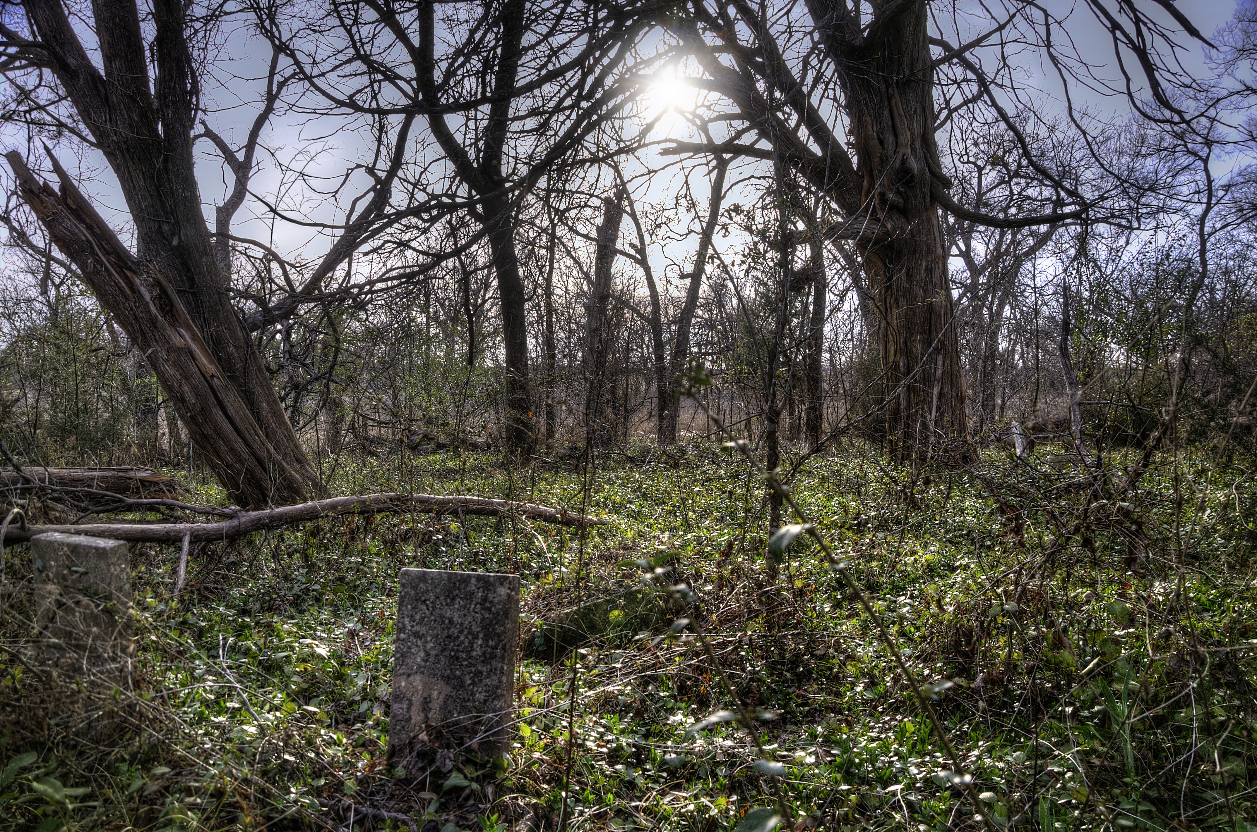
Forgotten Grave

Forgotten Graves
Forgotten Grave
Forgotten Graves
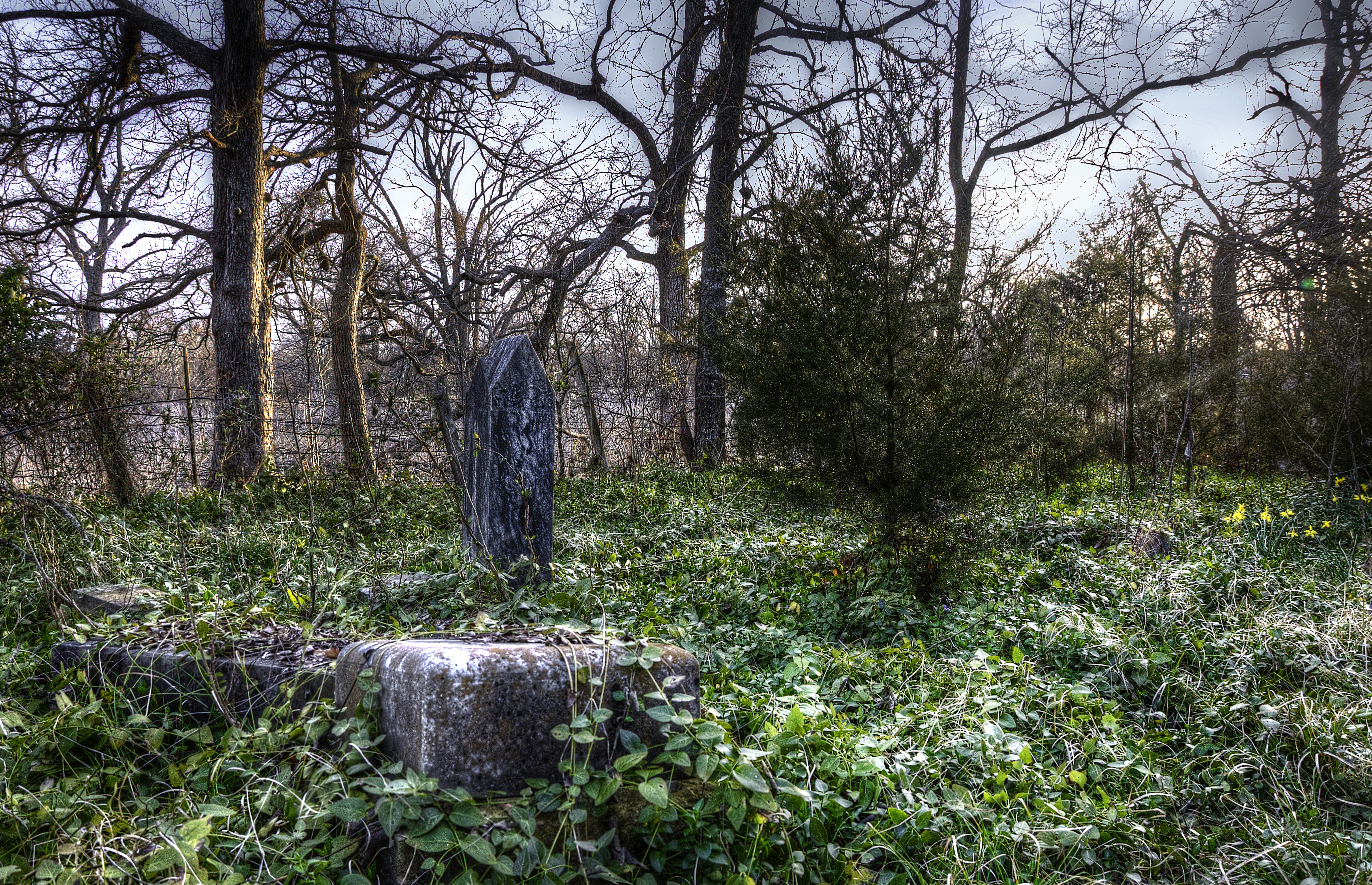
Forgotten Graves
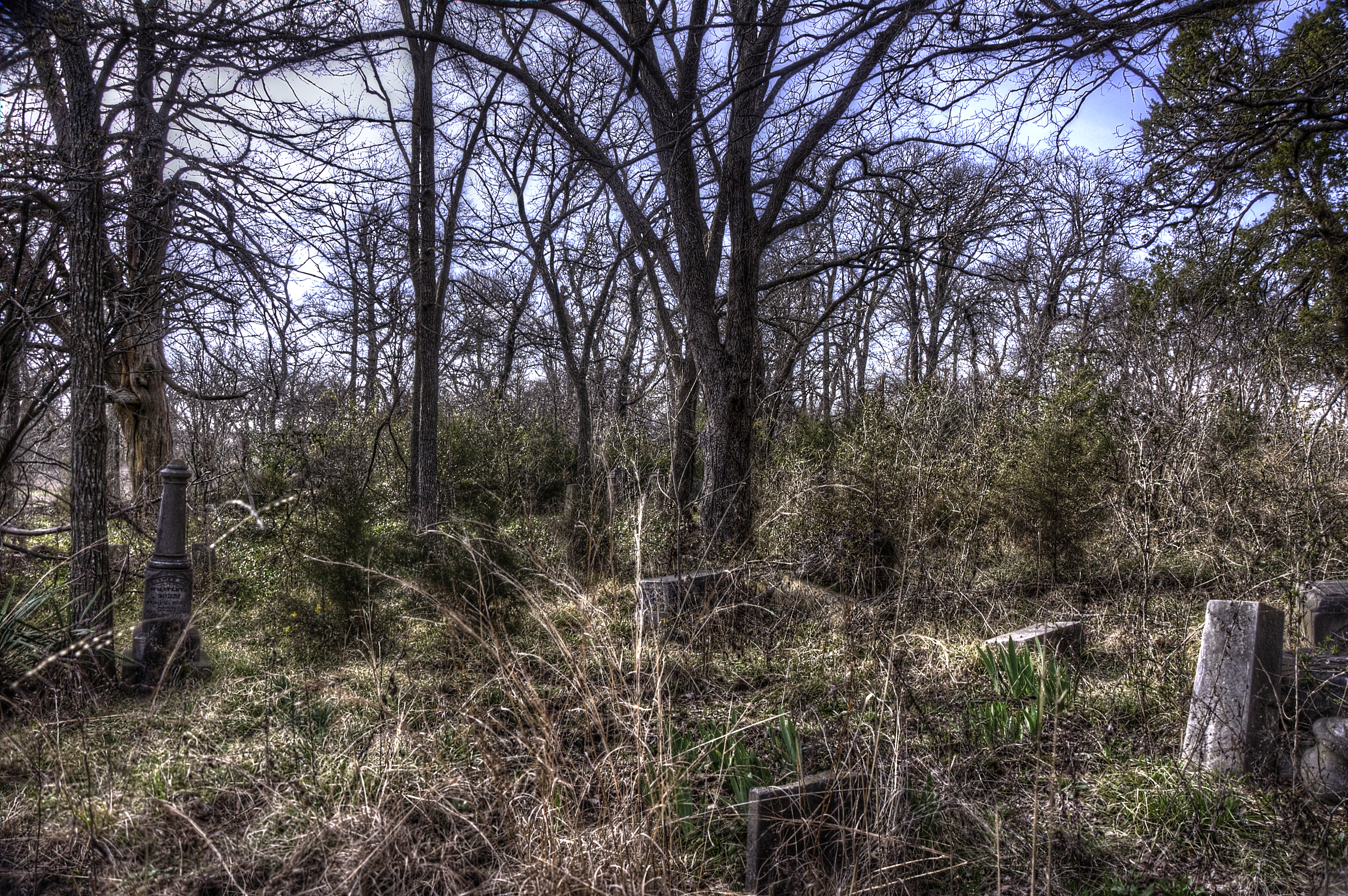
Forgotten Graves
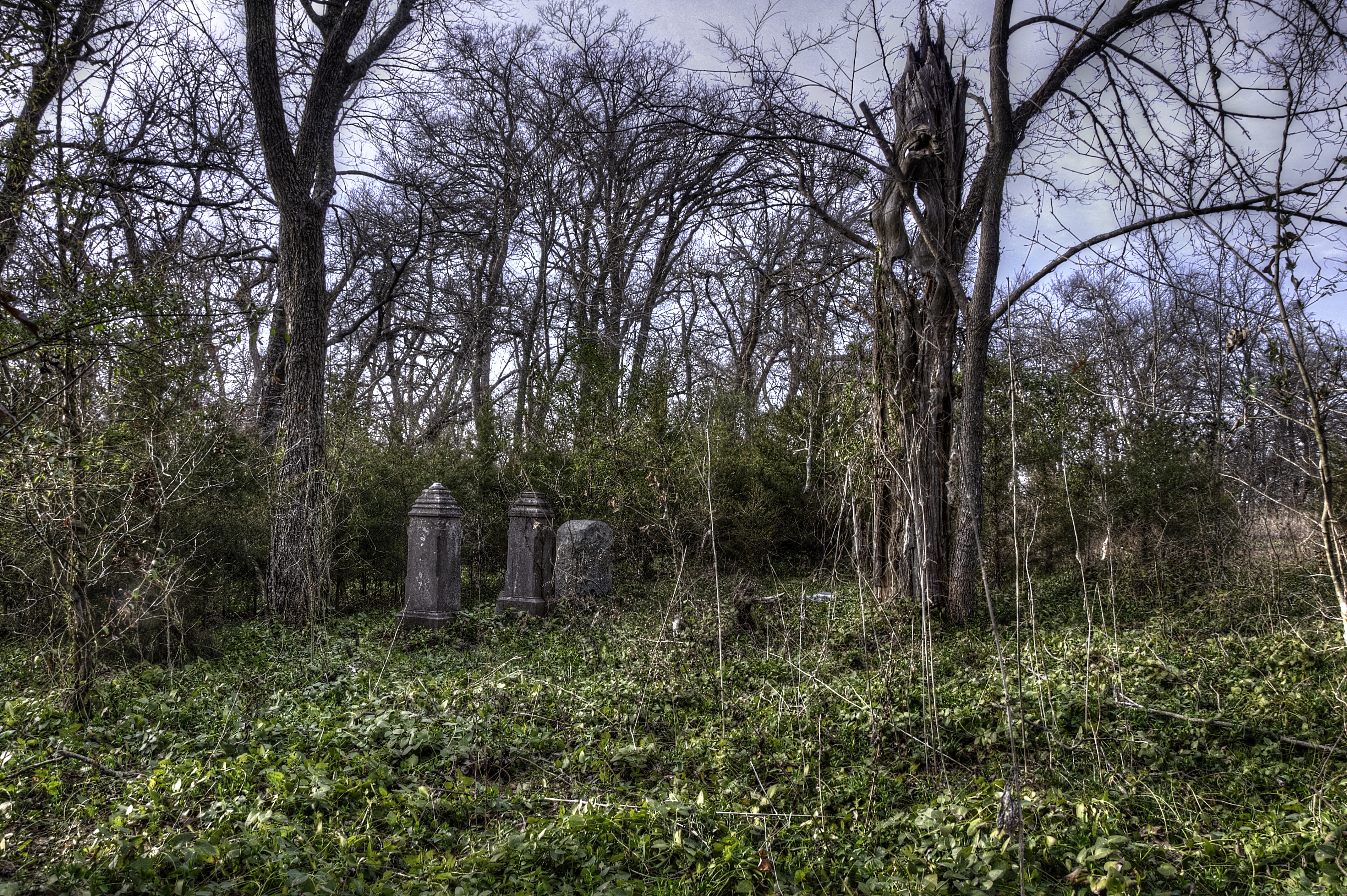
Forgotten Graves
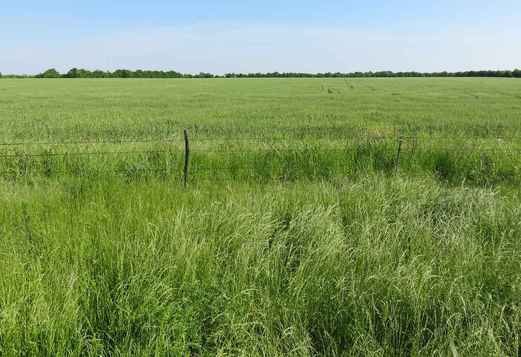
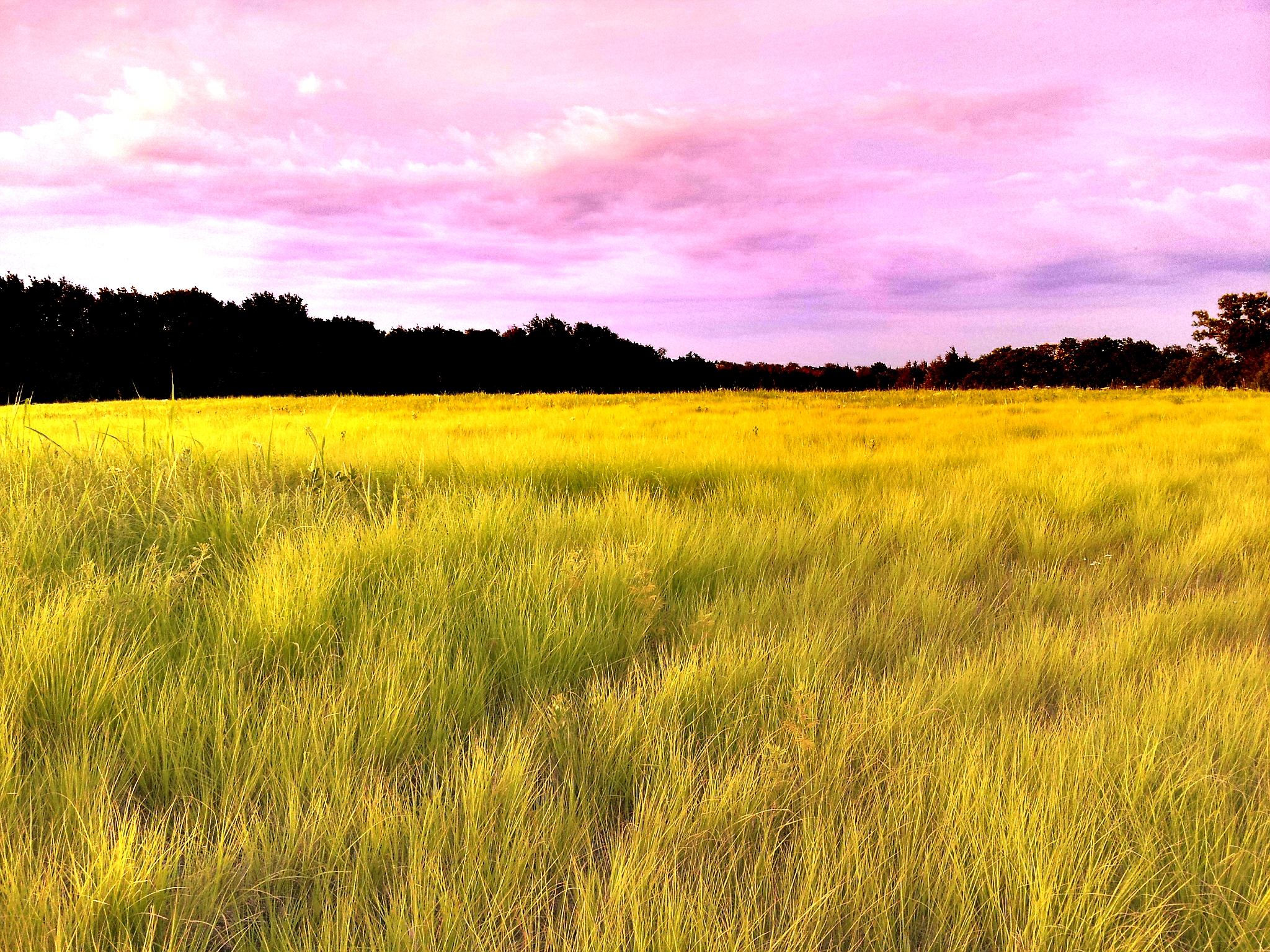
North Texas Landscape (Fannin County, Texas)
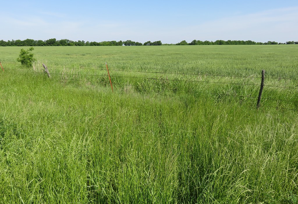
North Texas Landscape (Fannin County, Texas)
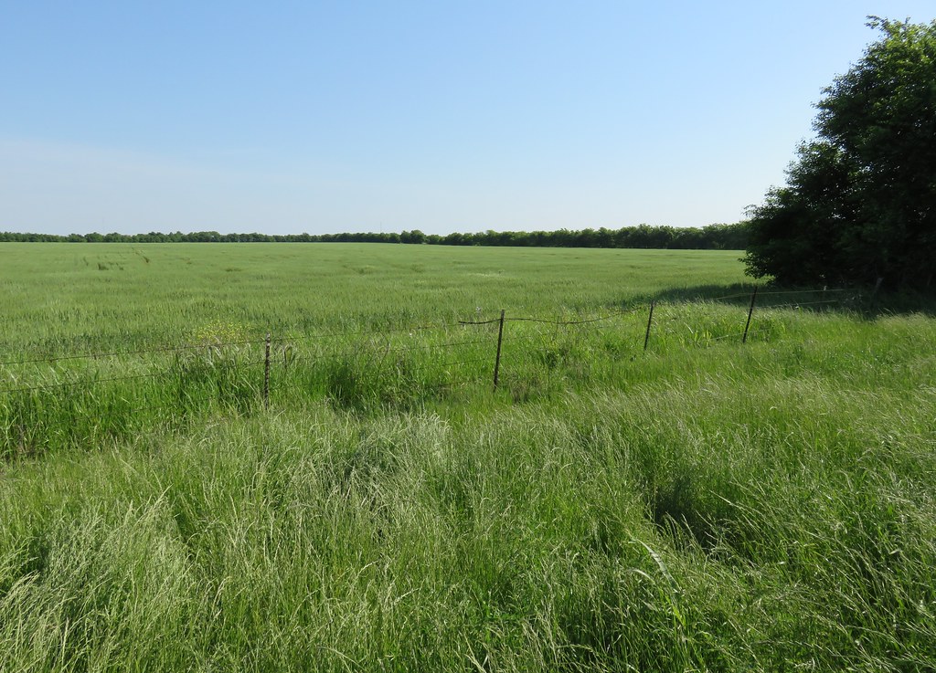
North Texas Landscape (Fannin County, Texas)

North Texas Landscape (Fannin County, Texas)
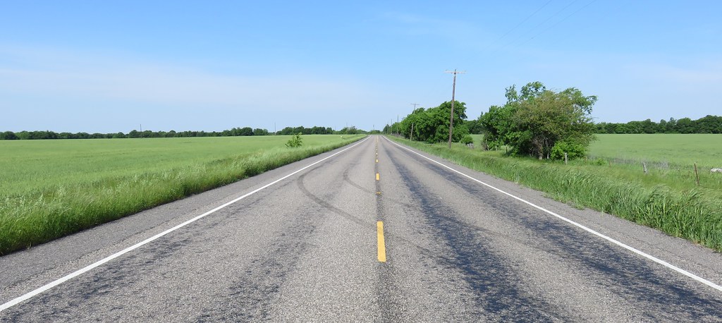
North Texas Landscape (Fannin County, Texas)
Topographic Map of FM, Ladonia, TX, USA
Find elevation by address:

Places near FM, Ladonia, TX, USA:
Pr, Ladonia, TX, USA
E Fm, Ladonia, TX, USA
FM, Ladonia, TX, USA
Co Rd, Windom, TX, USA
Ladonia
FM 68, Wolfe City, TX, USA
S Fm, Bonham, TX, USA
FM, Ladonia, TX, USA
FM, Ladonia, TX, USA
FM, Honey Grove, TX, USA
Wolfe City
Honey Grove
105 Hanna St
605 Manson St
Wolfe City High School
County Road 4617
Pecan Gap
Fannin County
Co Rd, Dodd City, TX, USA
424 Co Rd 2750
Recent Searches:
- Elevation of Corso Fratelli Cairoli, 35, Macerata MC, Italy
- Elevation of Tallevast Rd, Sarasota, FL, USA
- Elevation of 4th St E, Sonoma, CA, USA
- Elevation of Black Hollow Rd, Pennsdale, PA, USA
- Elevation of Oakland Ave, Williamsport, PA, USA
- Elevation of Pedrógão Grande, Portugal
- Elevation of Klee Dr, Martinsburg, WV, USA
- Elevation of Via Roma, Pieranica CR, Italy
- Elevation of Tavkvetili Mountain, Georgia
- Elevation of Hartfords Bluff Cir, Mt Pleasant, SC, USA