Elevation of Flatridge Road, Flatridge Rd, Rye Valley, VA, USA
Location: United States > Virginia > Smyth County > Rye Valley > Sugar Grove >
Longitude: -81.388737
Latitude: 36.7562404
Elevation: 860m / 2822feet
Barometric Pressure: 91KPa
Elevation Map:
Satellite Map:
Related Photos:
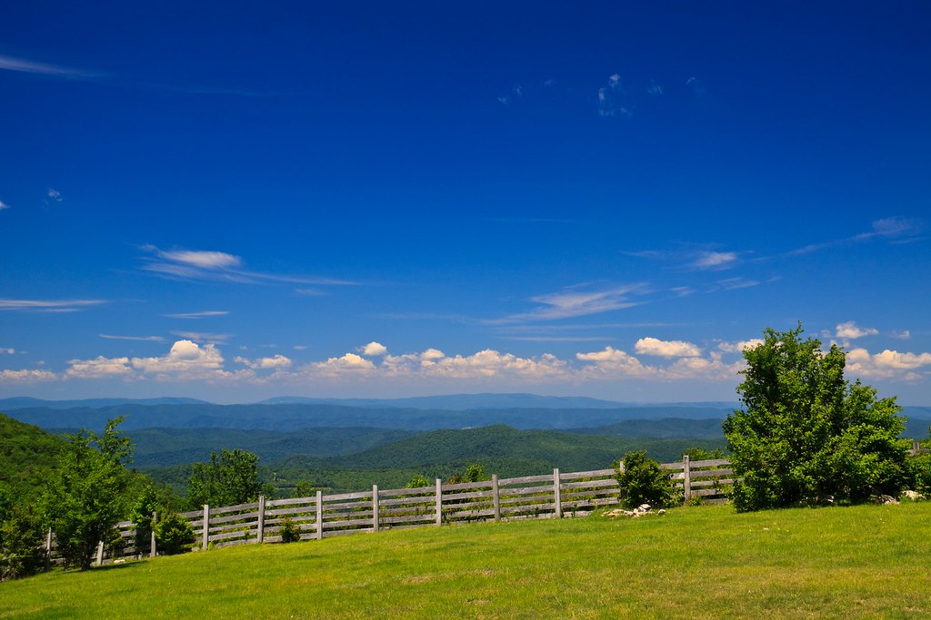
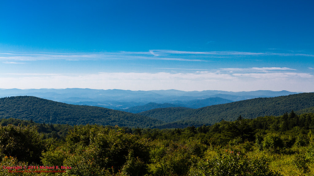
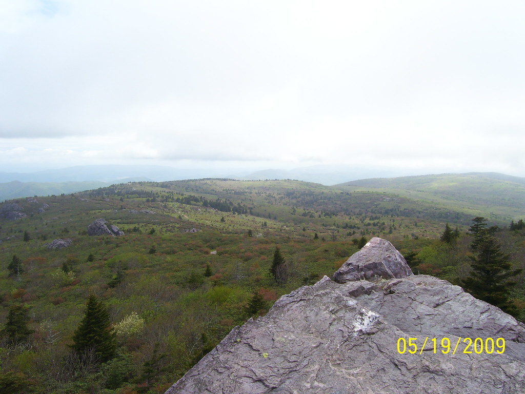
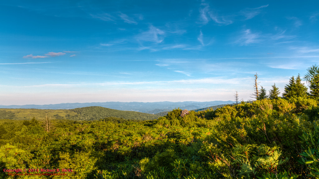
View from The Scales
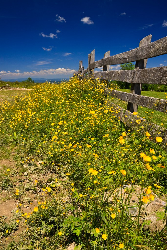
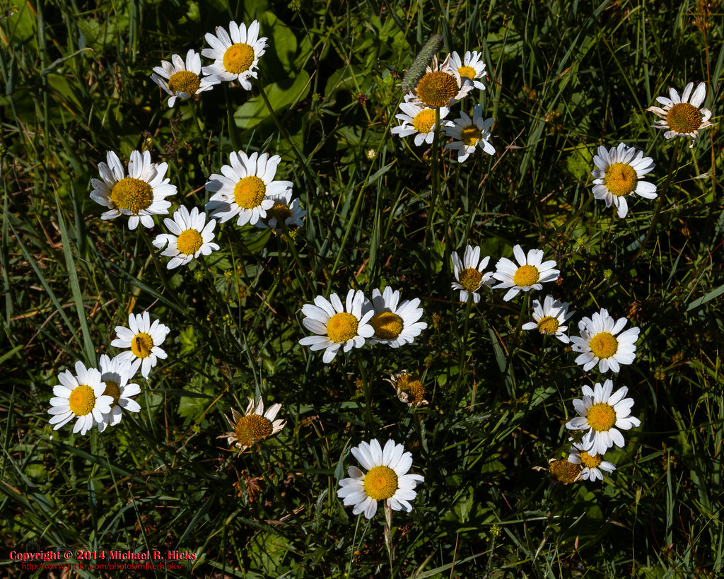
Buttercups along the Fence
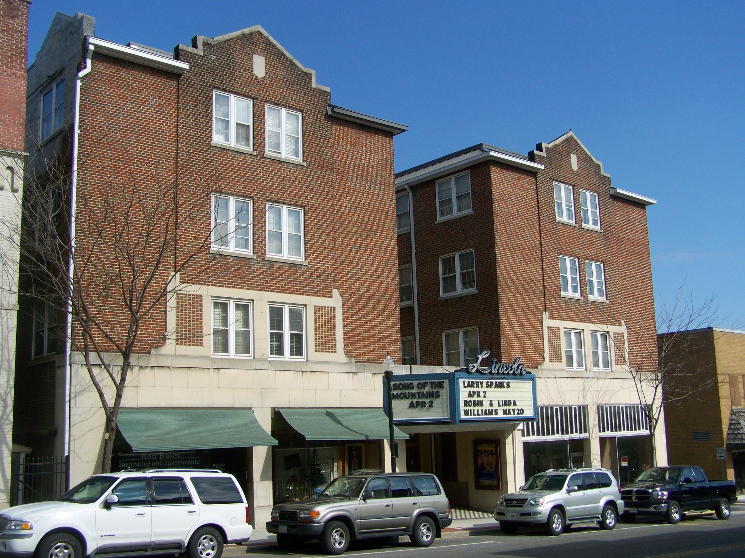
Lincoln Theater- Marion VA

SO LONG MARION VA! (Our old trailer cleaned out and ready for the next tenant!)

SO LONG MARION VA! (Our old trailer cleaned out and ready for the next tenant!)

SO LONG MARION VA! (Our old trailer cleaned out and ready for the next tenant!)

SO LONG MARION VA! (Our old trailer cleaned out and ready for the next tenant!)

SO LONG MARION VA! (Our old trailer cleaned out and ready for the next tenant!)

SO LONG MARION VA! (Our old trailer cleaned out and ready for the next tenant!)

SO LONG MARION VA! (Our old trailer cleaned out and ready for the next tenant!)

SO LONG MARION VA! (Our old trailer cleaned out and ready for the next tenant!)

SO LONG MARION VA! (Our old trailer cleaned out and ready for the next tenant!)

SO LONG MARION VA! (Our old trailer cleaned out and ready for the next tenant!)

SO LONG MARION VA! (Our old trailer cleaned out and ready for the next tenant!)
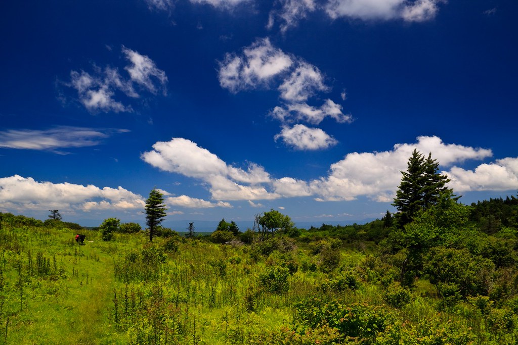
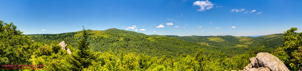
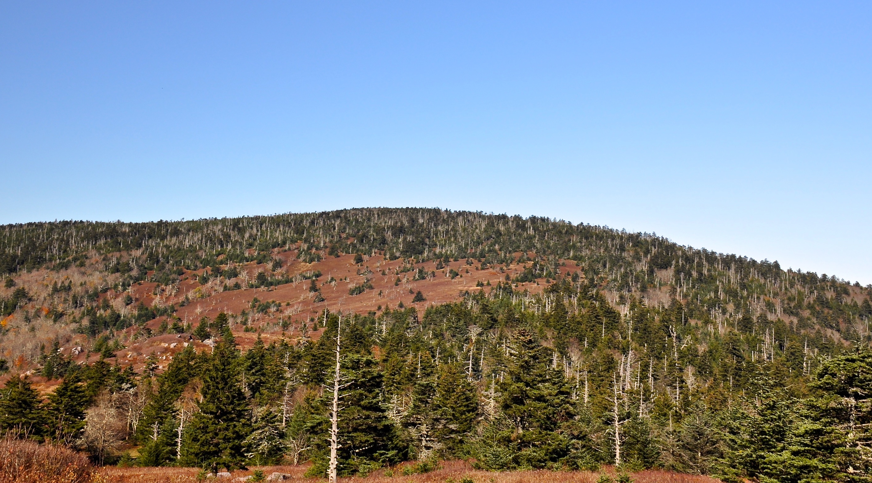
Pine Mountain
Mt Rogers Backpack - Another view on the AT - July 5, 2014
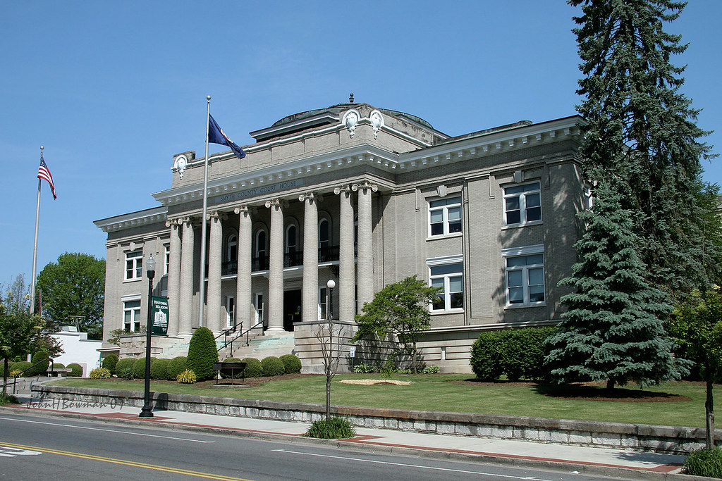
Smyth County Courthouse - Marion, Virginia

View from our Marion Virginia home
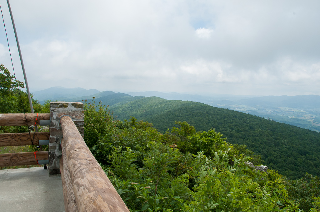
View from W4V/WV-013 - Comers Rock
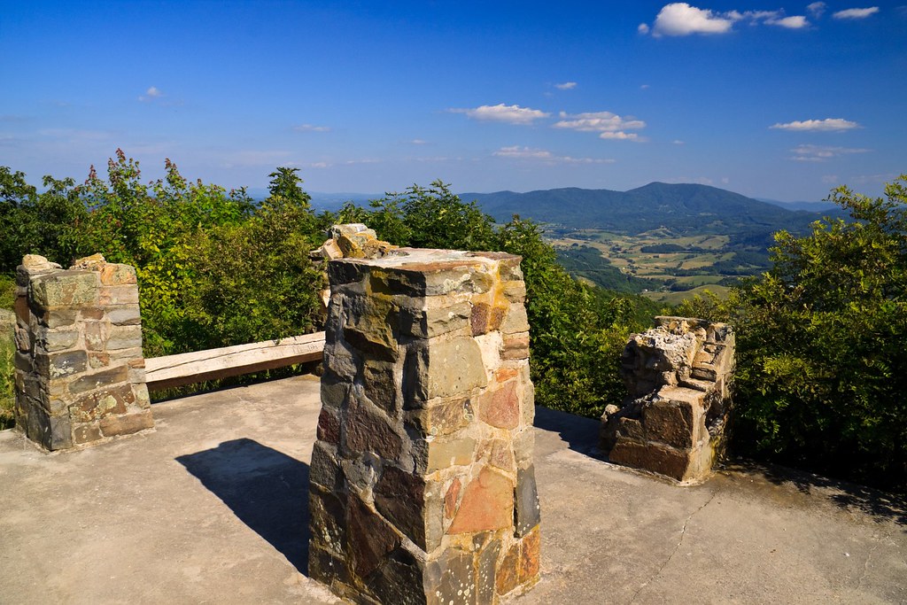
Comers Rock Overlook
Mt Rogers Backpack - Morning view from Pine Mountain, July 5, 2014
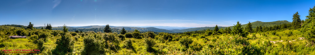
Pine Mountain - Early Morning Panorama

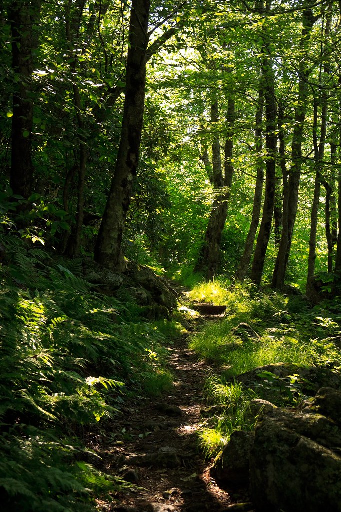
Fox Creek
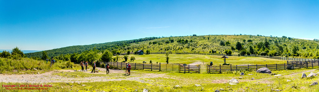
Mt Rogers Backpack - Scales Panorama July 5, 2014
Mt Rogers Backpack - Scales July 5, 2014
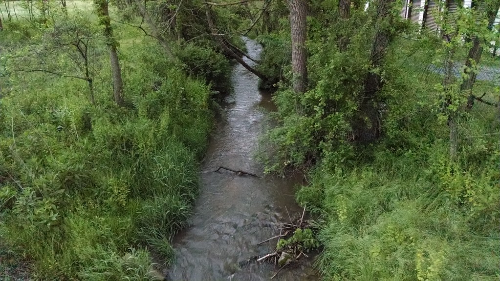
Creek in Marion
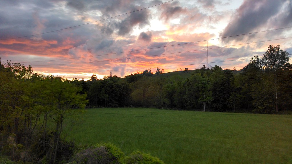
Beautiful sunset near marion va
Mt Rogers Backpack - Scales July 5, 2014
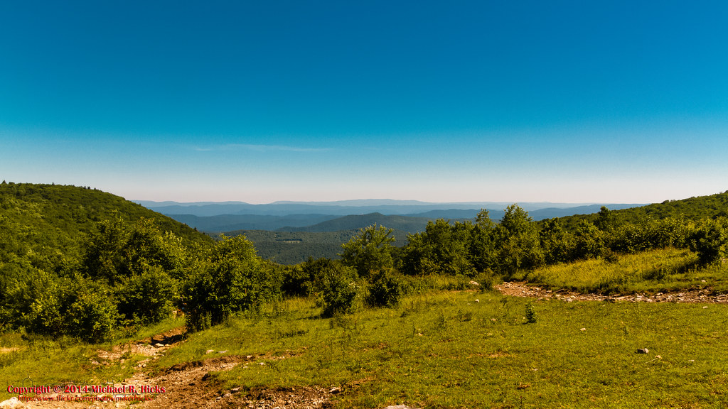
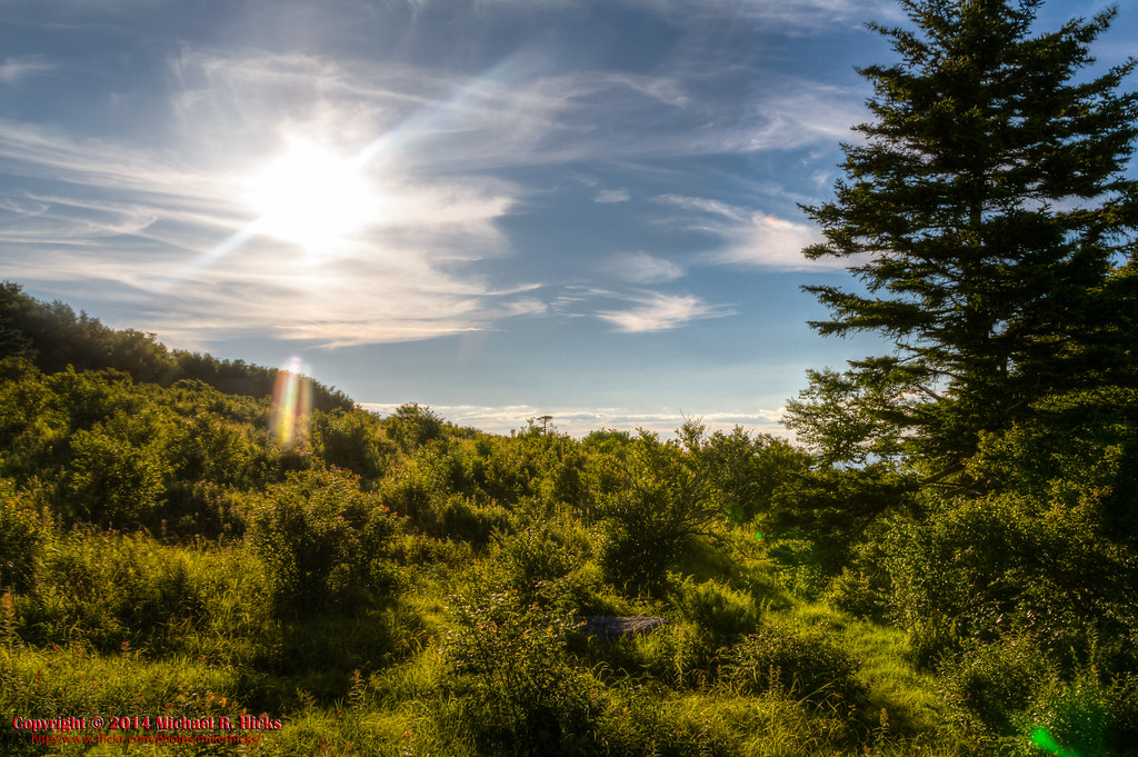
View from Pine Mountain

Sunset from Pine Mountain
Trail to Comers Rock
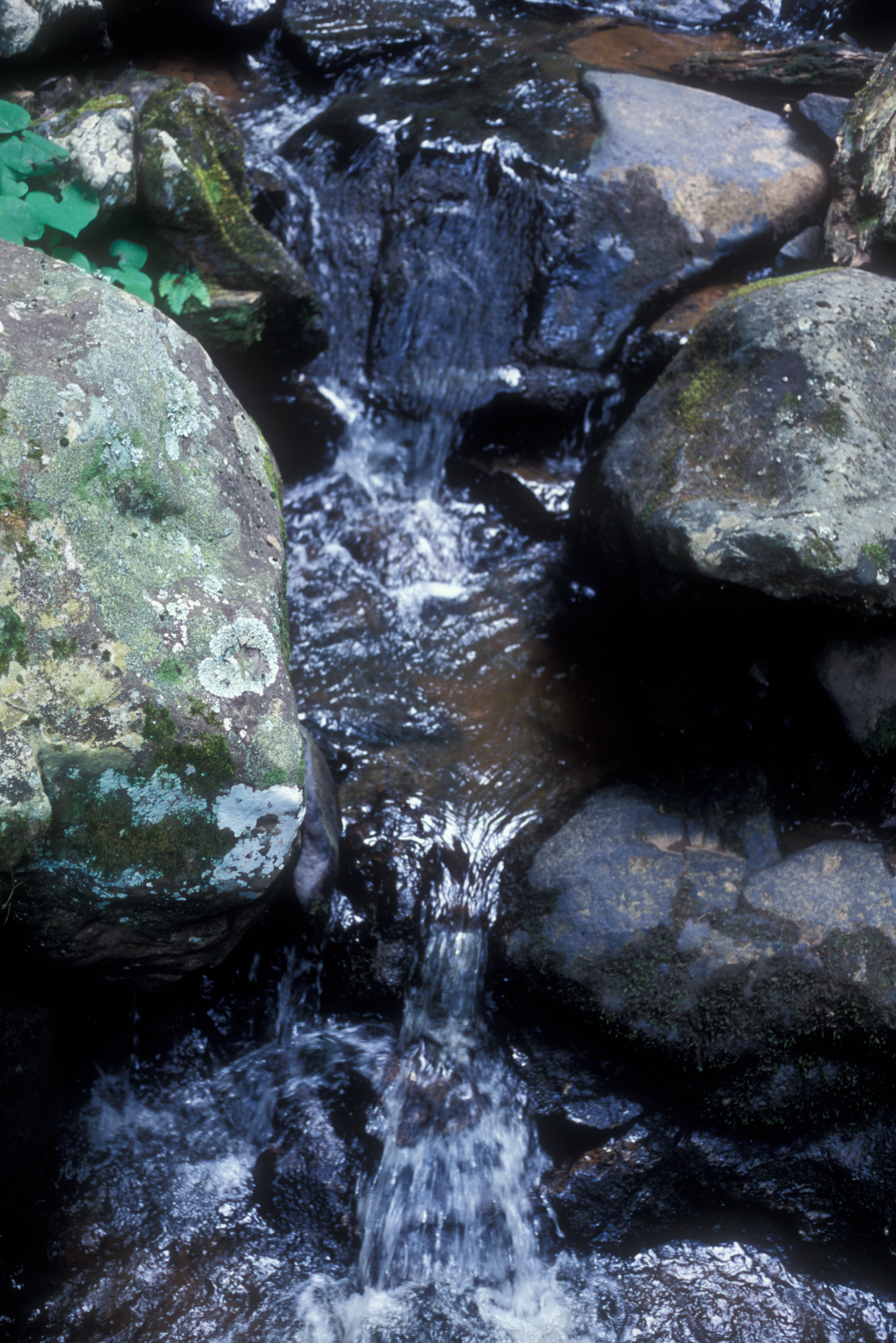
Yet more river
At the Pine Mountain Watering Hole
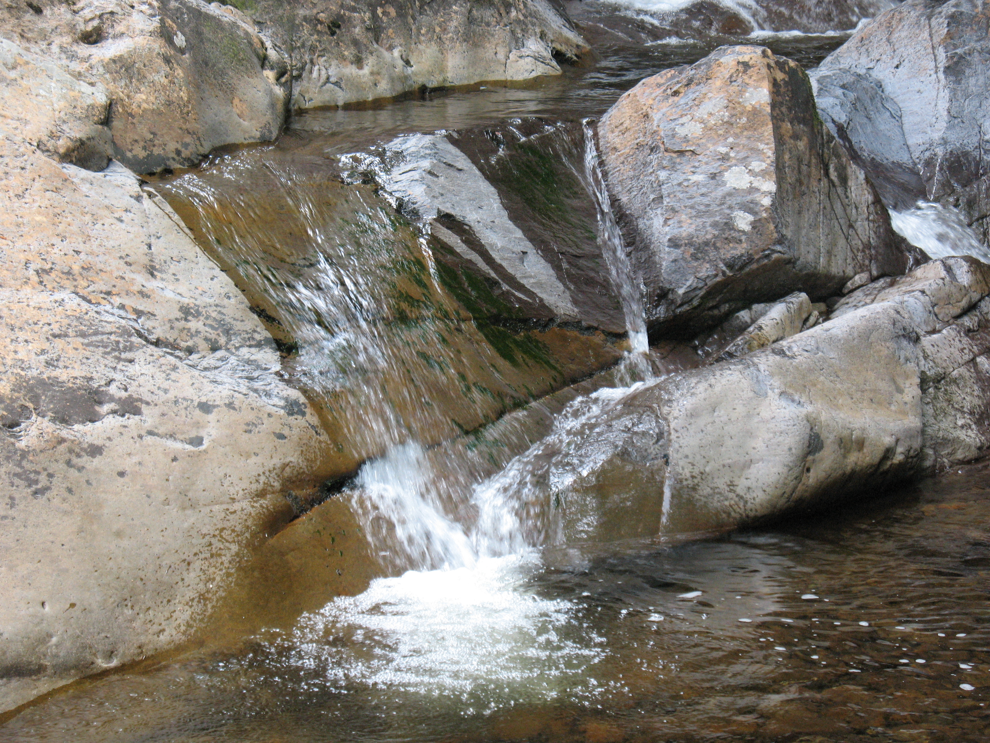
Comers Creek
On Pine Mountain
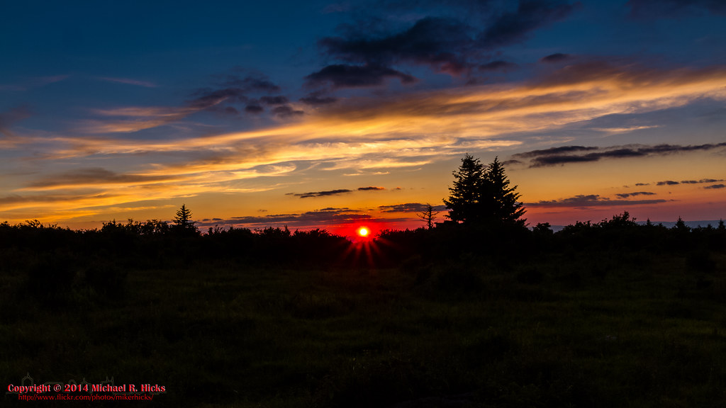
Pine Mountain Sunset

Mt Rogers Backpack - Scales July 5, 2014
Mount Rogers, Virginia
Topographic Map of Flatridge Road, Flatridge Rd, Rye Valley, VA, USA
Find elevation by address:

Places near Flatridge Road, Flatridge Rd, Rye Valley, VA, USA:
460 Flat Ridge Rd
223 Flat Ridge Rd
179 Flat Ridge Rd
Sugar Grove
Raccoon Branch Campground
425 Sand Mines Rd
V A Highlander Rd, Sugar Grove, VA, USA
Windy Ridge Trail
Windy Ridge Trail
Rye Valley
298 Camp Rd
5727 State Rte 675
1973 Teas Rd
430 Currin Valley Rd
430 Currin Valley Rd
Nicks Creek Road
369 Dry Run
5030 State Rte 672
Slab Town Rd, Sugar Grove, VA, USA
124 Mountain Empire Rd
Recent Searches:
- Elevation of Kambingan Sa Pansol Atbp., Purok 7 Pansol, Candaba, Pampanga, Philippines
- Elevation of Pinewood Dr, New Bern, NC, USA
- Elevation of Mountain View, CA, USA
- Elevation of Foligno, Province of Perugia, Italy
- Elevation of Blauwestad, Netherlands
- Elevation of Bella Terra Blvd, Estero, FL, USA
- Elevation of Estates Loop, Priest River, ID, USA
- Elevation of Woodland Oak Pl, Thousand Oaks, CA, USA
- Elevation of Brownsdale Rd, Renfrew, PA, USA
- Elevation of Corcoran Ln, Suffolk, VA, USA