Elevation of Slab Town Rd, Sugar Grove, VA, USA
Location: United States > Virginia > Smyth County > Rye Valley > Sugar Grove >
Longitude: -81.502112
Latitude: 36.759267
Elevation: 751m / 2464feet
Barometric Pressure: 93KPa
Elevation Map:
Satellite Map:
Related Photos:
Morning on Wilburn Ridge

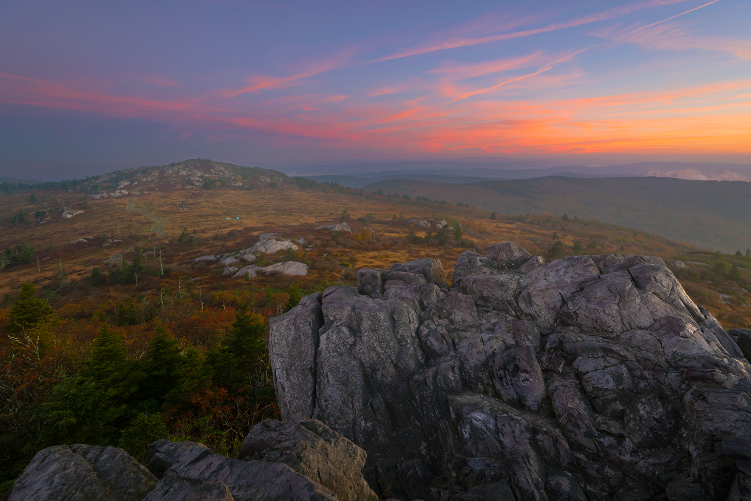
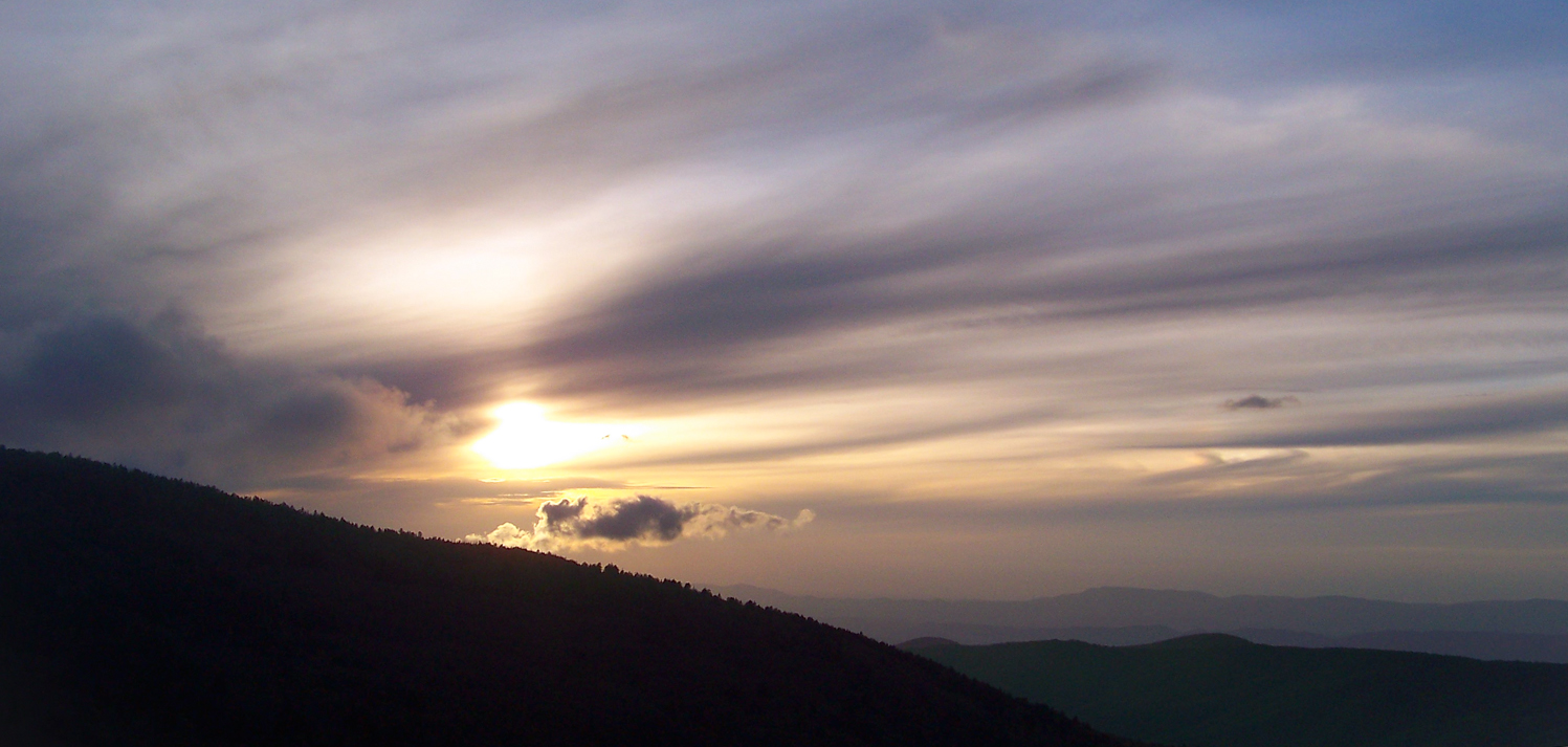
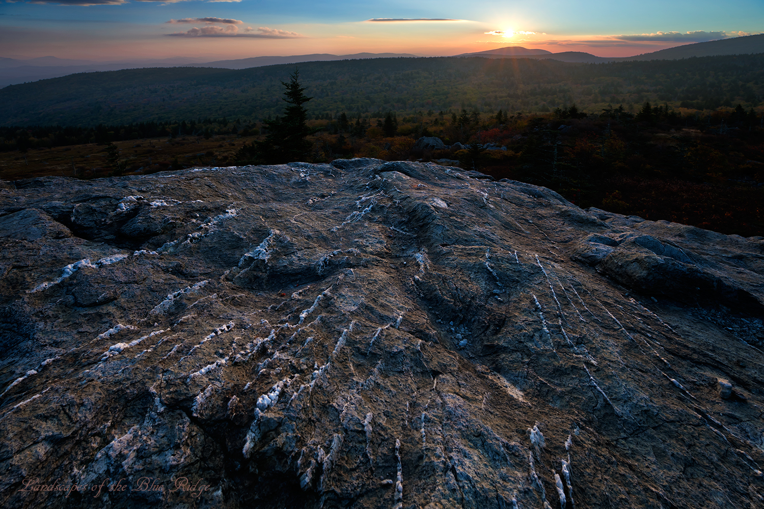
Grayson Highlands Sunset

Appalachian Yorkie
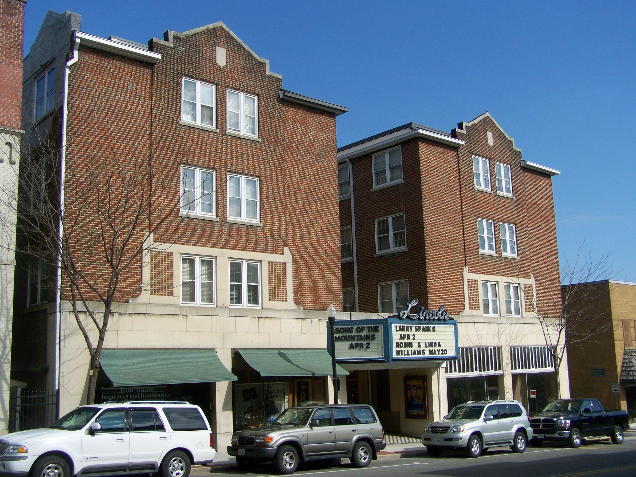
Lincoln Theater- Marion VA

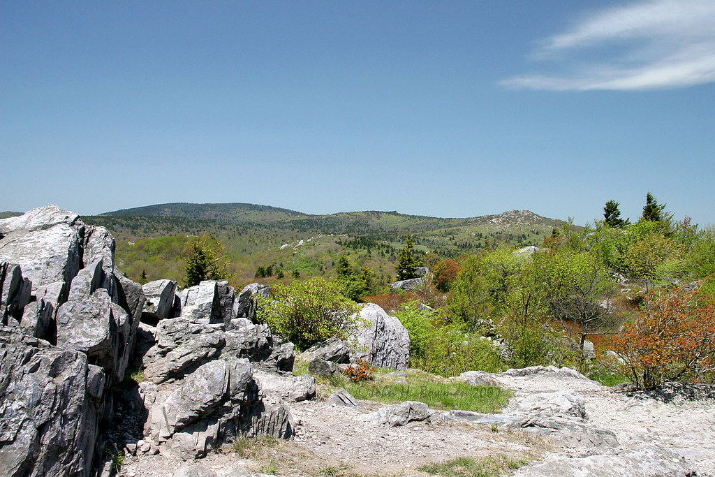
The View from Little Pinnacle in Grayson Highlands State Park

Wilburn Ridge Trail
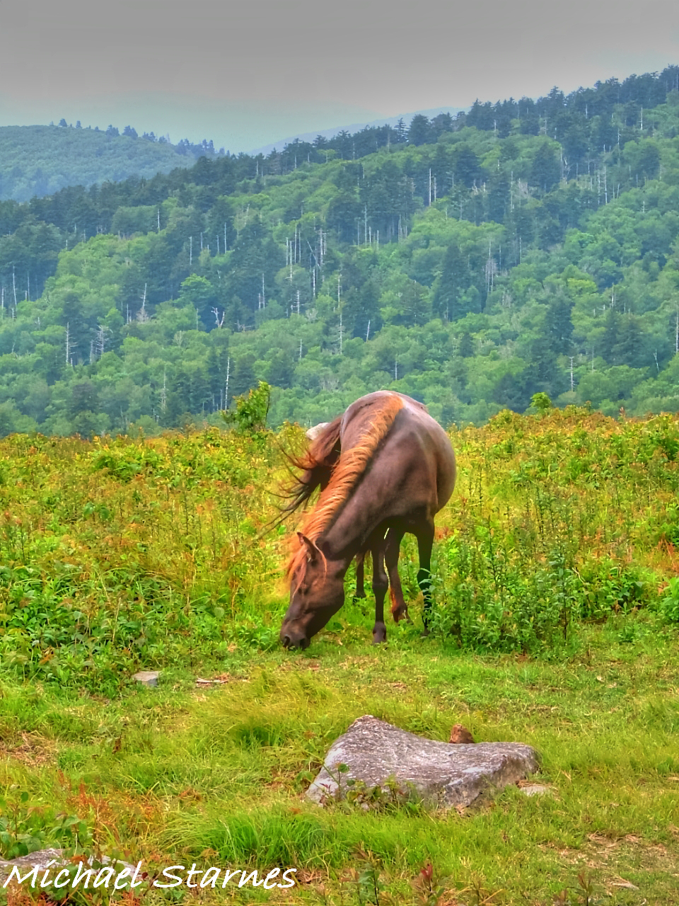
Grayson Highlands
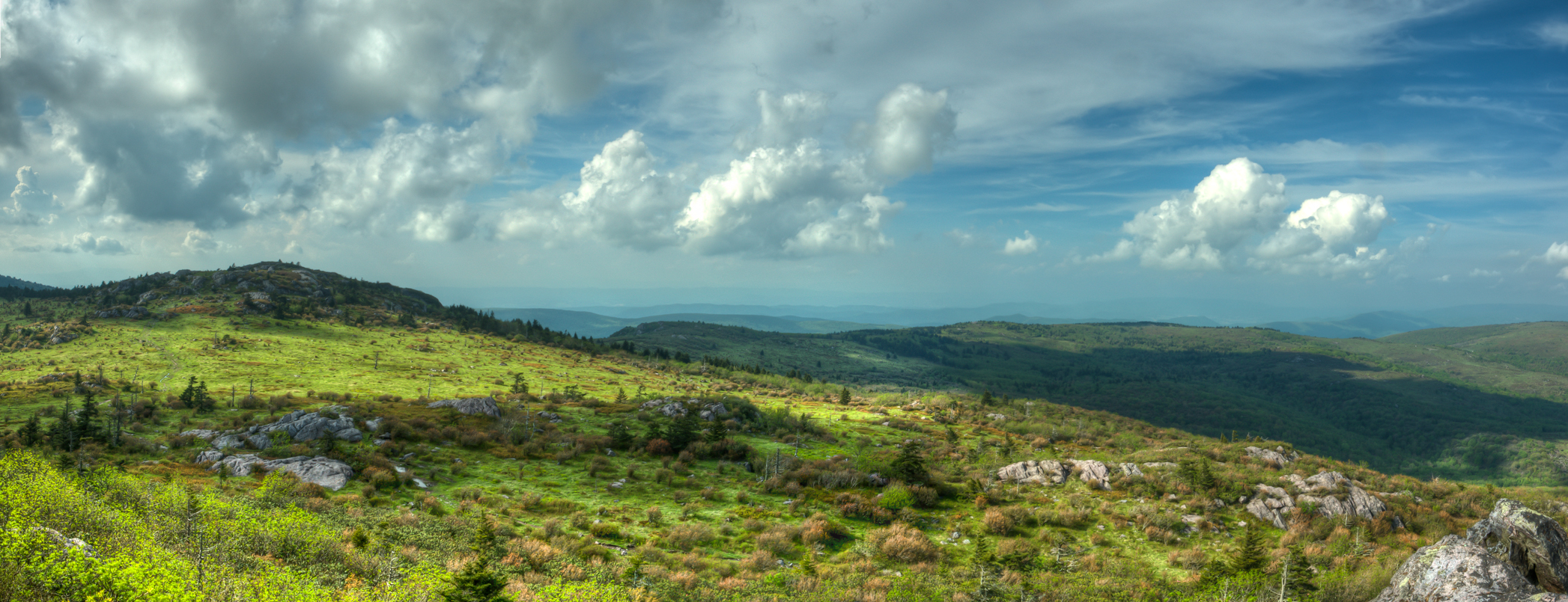
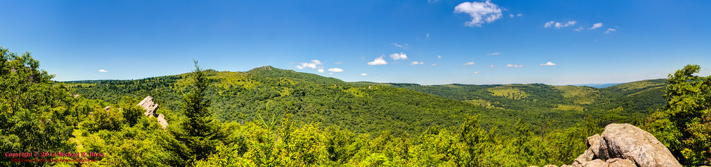
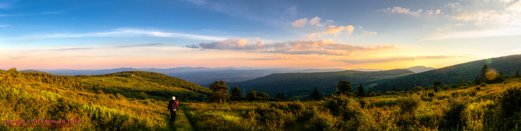
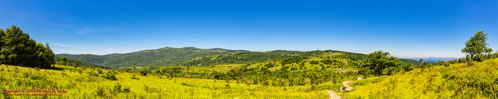
Wilburn Ridge Pano

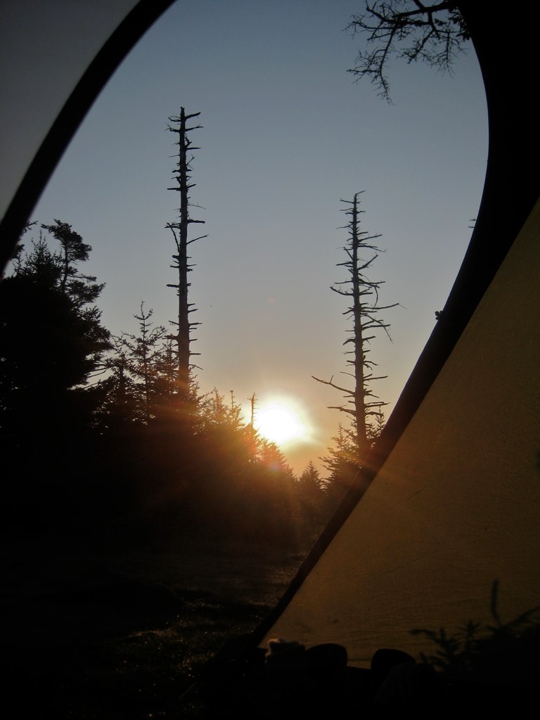
Wilburn Ridge Sunrise

Nuclear Blast
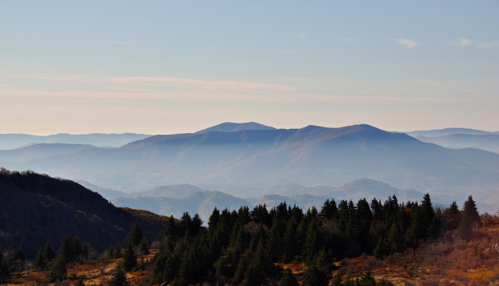
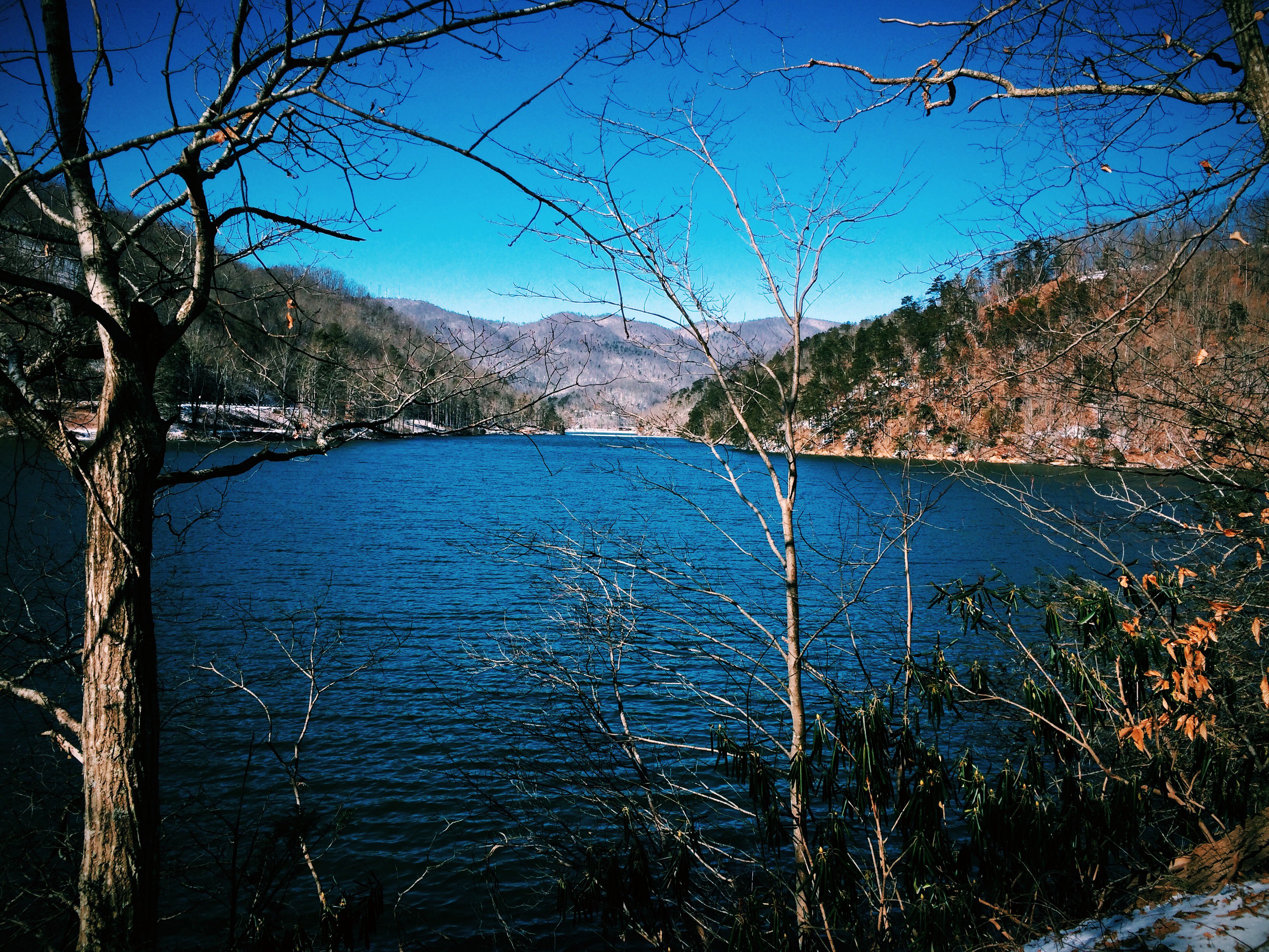
Morning in the Grayson Highlands
Mt Rogers Backpack - Another view on the AT - July 5, 2014
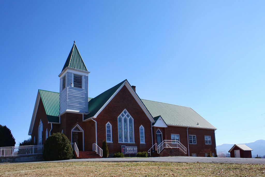
Mountain View United Methodist Church

Mobile Home

3D Grayson Highlands Park

IMG_5371.jpg
Room With A View

Valley view from Grayson Highlands State Park
Winter is alive at Hungry Mother
Mt View Grayson Highlands SP VA 4431
Mt Rogers Sunset

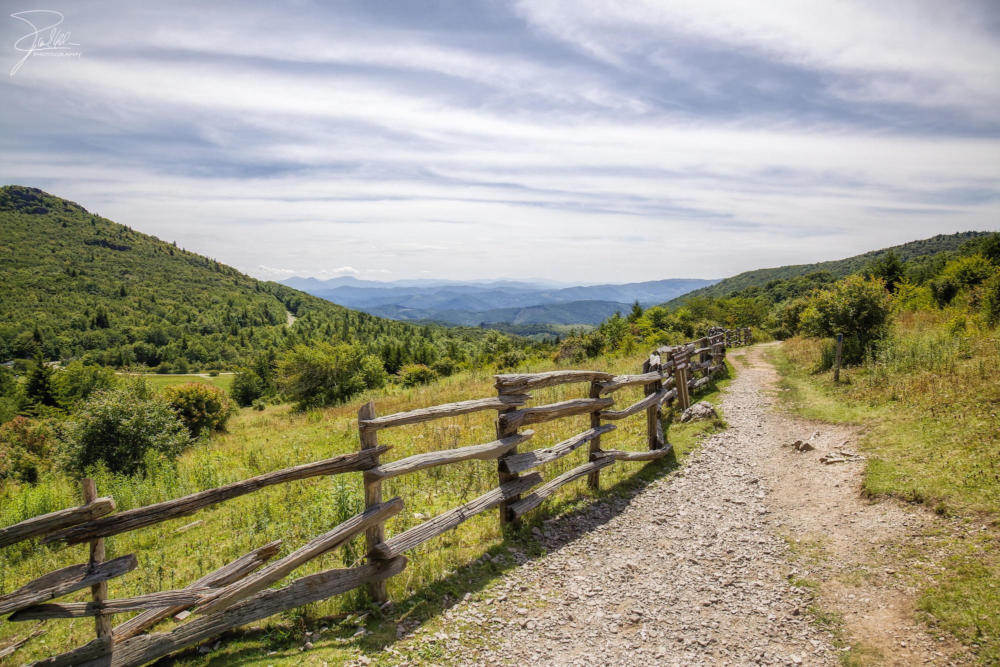
Sugarland Overlook - Grayson Highlands State Park
Grayson Highlands

Grayson Highlands
Right This Way

Wilburn Ridge Sunset
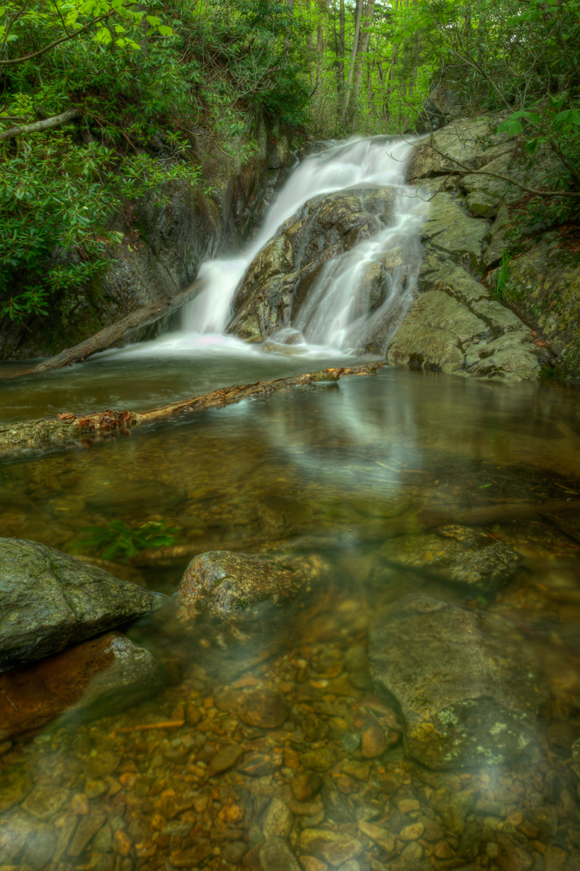
Upper Cabin Creek Falls
Mt Rogers Backpack - On the AT - Golden Hour at Thomas Knob - July 5, 2014

Wilburn Ridge Sunset

Hungry Mother State Park, Marion, Virginia
Mount Rogers
Mt Rogers Backpack - Panorama from the hills above Scales - July 5, 2014
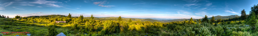
Pine Mountain Panorama
Topographic Map of Slab Town Rd, Sugar Grove, VA, USA
Find elevation by address:

Places near Slab Town Rd, Sugar Grove, VA, USA:
2490 S Fork Rd
1973 Teas Rd
Pleasant Valley Road
South Fork Road
264 Reed Hollow Rd
Royal Oak
Rye Valley
430 Currin Valley Rd
430 Currin Valley Rd
335 Spring Hollow Rd
Solar Ln, Marion, VA, USA
V A Highlander Rd, Sugar Grove, VA, USA
229 Henderson St
Spruce Street
425 Sand Mines Rd
326 E Main St
Marion
222 North St
369 Dry Run
Raccoon Branch Campground
Recent Searches:
- Elevation of Corso Fratelli Cairoli, 35, Macerata MC, Italy
- Elevation of Tallevast Rd, Sarasota, FL, USA
- Elevation of 4th St E, Sonoma, CA, USA
- Elevation of Black Hollow Rd, Pennsdale, PA, USA
- Elevation of Oakland Ave, Williamsport, PA, USA
- Elevation of Pedrógão Grande, Portugal
- Elevation of Klee Dr, Martinsburg, WV, USA
- Elevation of Via Roma, Pieranica CR, Italy
- Elevation of Tavkvetili Mountain, Georgia
- Elevation of Hartfords Bluff Cir, Mt Pleasant, SC, USA