Elevation of Fircrest Dr, Ukiah, CA, USA
Location: United States > California > Ukiah >
Longitude: -123.20970
Latitude: 39.1181895
Elevation: -10000m / -32808feet
Barometric Pressure: 295KPa
Elevation Map:
Satellite Map:
Related Photos:

Fall Colors, Ukiah (Explore)

Palace Hotel in Ukiah (Explore)

Palace Hotel in Ukiah

Palace Hotel in Ukiah

Racks of Wheels at Ceja Quality Tires, Ukiah

Palace Hotel in Ukiah

Palace Hotel in Ukiah

101 Motel - Ukiah, California

Lu-Ann Motel - Ukiah, California

Caddi Hood Ornament 1

Outside Ukiah

Pomo Basket

Waking Up

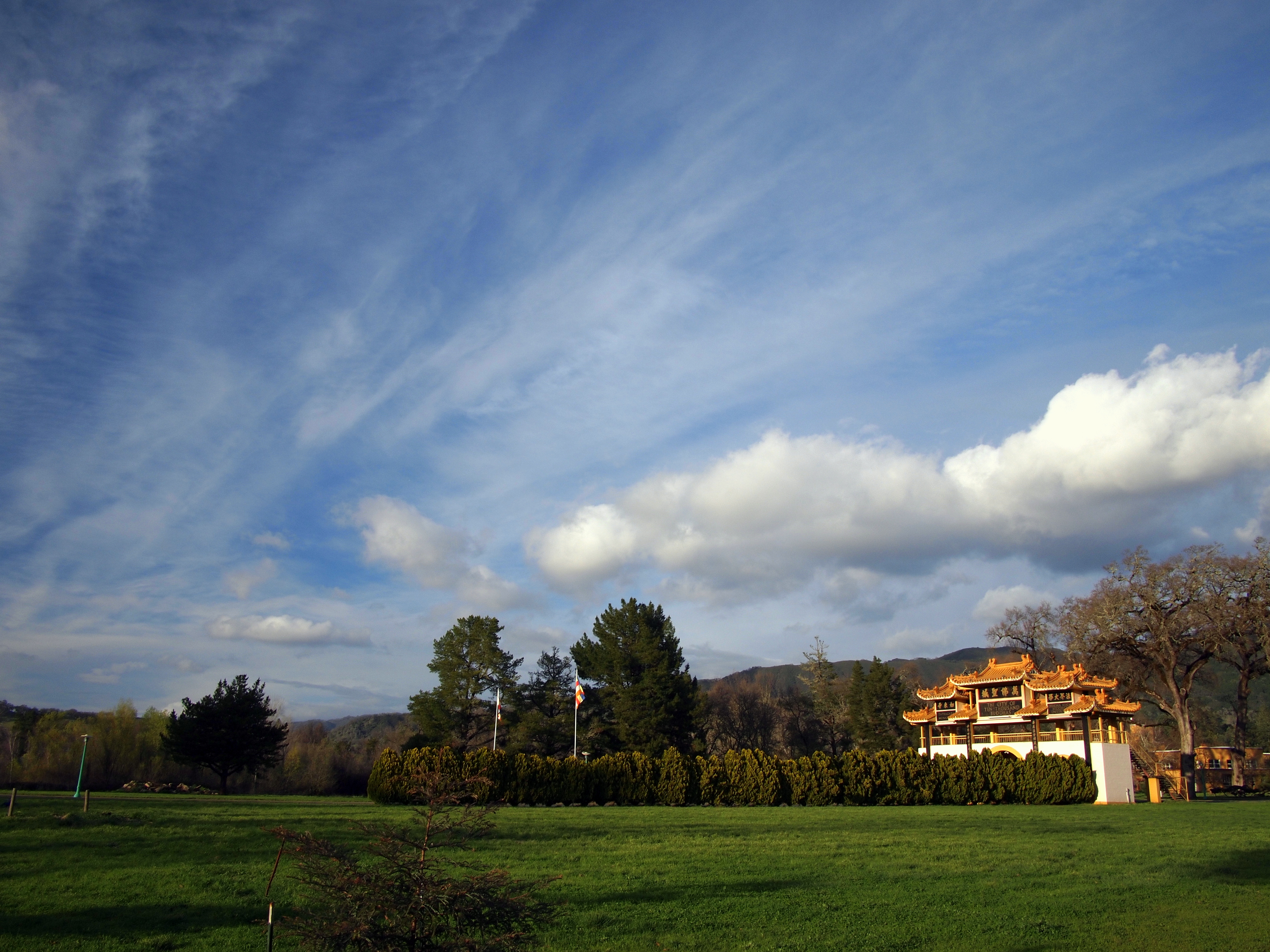
Toward Ukiah Valley

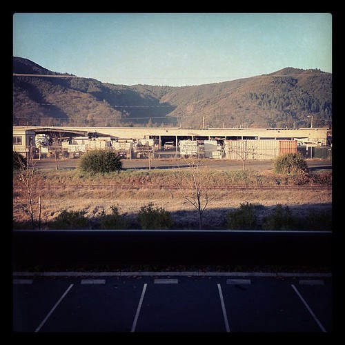
A view from my work..
Rear View Window

View from my tent

Valley View Trail, Cow Mountain BLM, Ukiah, CA - 20 February 2015

Hammock View

View from summit

Specialized Sequoia getting ready to go
Blue Sky and Streaky Cloud

Riding to the Lake
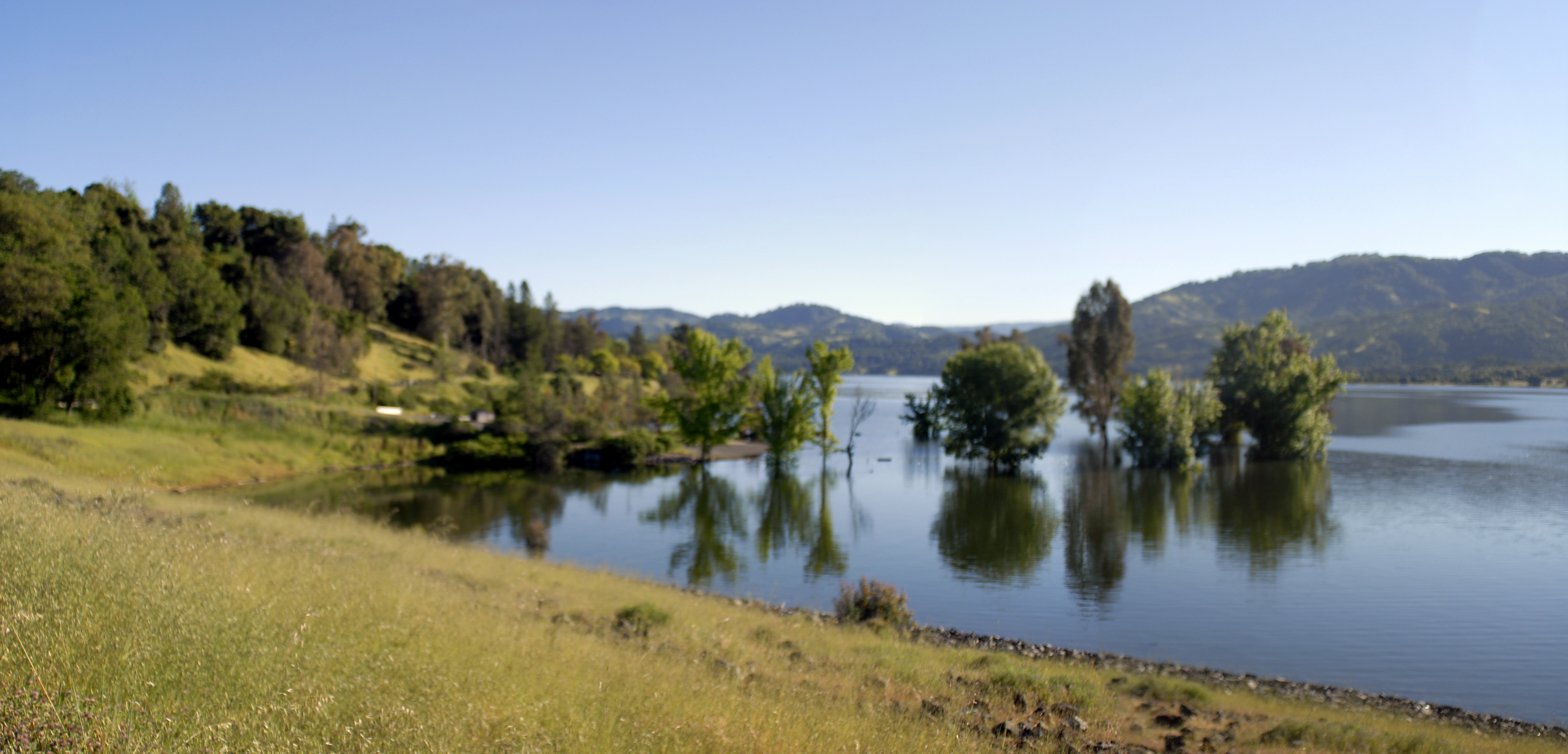
Lake Mendocino

Lake Mendocino

Streaky Cloud

The night before NorCal lit on fire

Mountain Gate and cool cloud

Good morning, Hopland

#igwd #instagramwhiledriving

Lake County - Gold hills and dark stormy sky off Hwy 20

#HipstaConnect #PureHipstamatic #HipstaNerds

fruit of the vine

Firestorm broke out hours later

Lake Mendocino

Low Gap Road Park, Ukiah CA

No wine before its time

The HIlls

The Barn on the left. Barn Cove at Lake Mendocino ...

South of Burke Hill
Topographic Map of Fircrest Dr, Ukiah, CA, USA
Find elevation by address:

Places near Fircrest Dr, Ukiah, CA, USA:
736 Canyon Ct
450 Crestview Dr
2463 Pomo Ln
528 Doolan Canyon Dr
1268 S State St
1244 S State St
Airport Park Boulevard
Airport Park Blvd, Ukiah, CA, USA
1090 S State St
Luce Avenue
850 Helen Ave
103 S State St
Ukiah
101 S State St
105 N Main St
308 E Perkins St
544 N Spring St
600 Park Blvd
El Roble Rd, Ukiah, CA, USA
Orr Street
Recent Searches:
- Elevation of Beall Road, Beall Rd, Florida, USA
- Elevation of Leguwa, Nepal
- Elevation of County Rd, Enterprise, AL, USA
- Elevation of Kolchuginsky District, Vladimir Oblast, Russia
- Elevation of Shustino, Vladimir Oblast, Russia
- Elevation of Lampiasi St, Sarasota, FL, USA
- Elevation of Elwyn Dr, Roanoke Rapids, NC, USA
- Elevation of Congressional Dr, Stevensville, MD, USA
- Elevation of Bellview Rd, McLean, VA, USA
- Elevation of Stage Island Rd, Chatham, MA, USA