Elevation of S State St, Ukiah, CA, USA
Location: United States > California > Ukiah >
Longitude: -123.20538
Latitude: 39.1328717
Elevation: 193m / 633feet
Barometric Pressure: 99KPa
Elevation Map:
Satellite Map:
Related Photos:

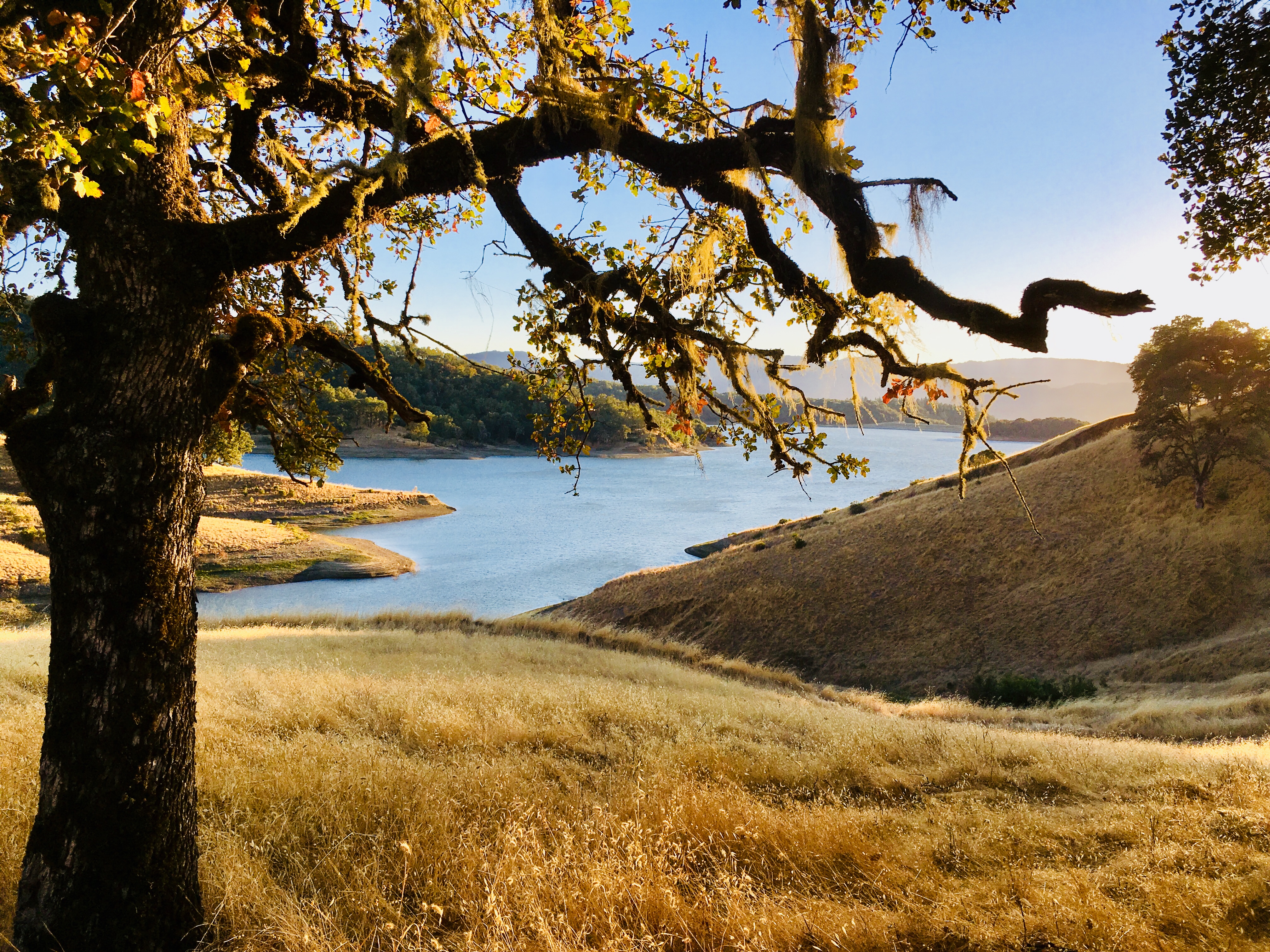
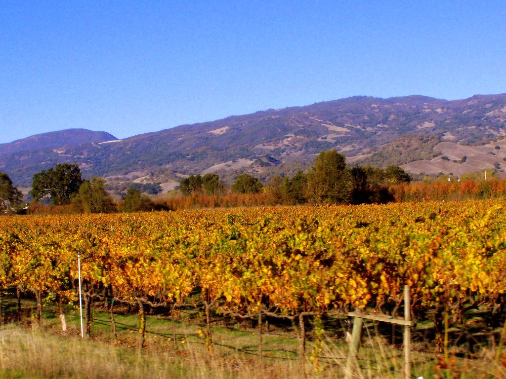
Fall Colors, Ukiah (Explore)
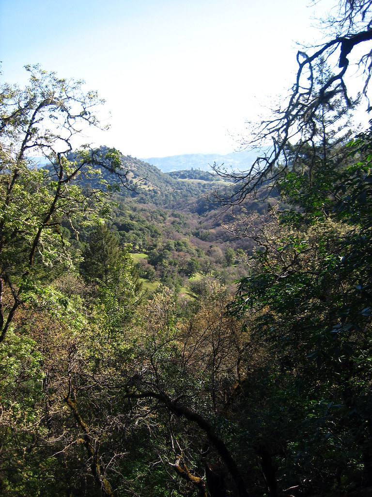
Outside Ukiah

Palace Hotel in Ukiah
Pomo Basket

Lu-Ann Motel - Ukiah, California

Waking Up
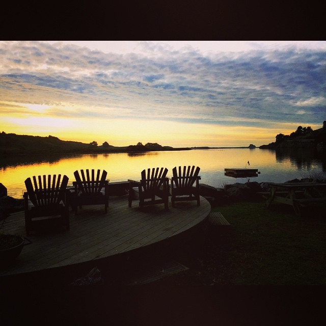
A view from my work..

Rear View Window
View from my tent
Valley View Trail, Cow Mountain BLM, Ukiah, CA - 20 February 2015
Hammock View
View from the outlook

First view of California
I See You
The View

Back window view
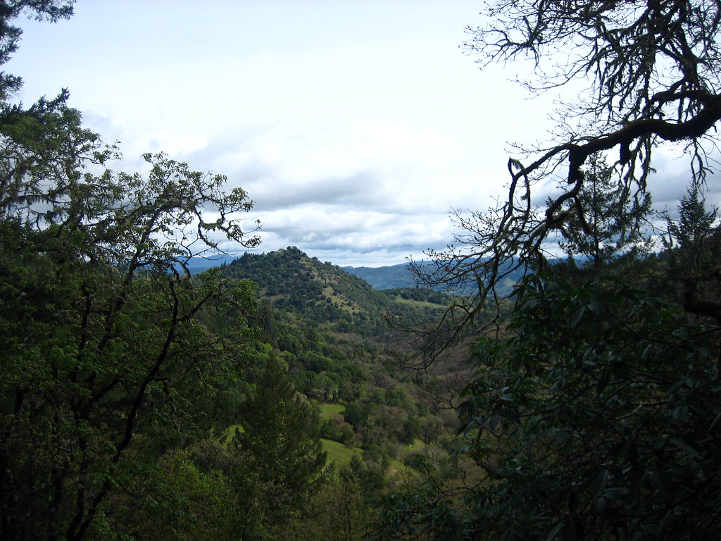
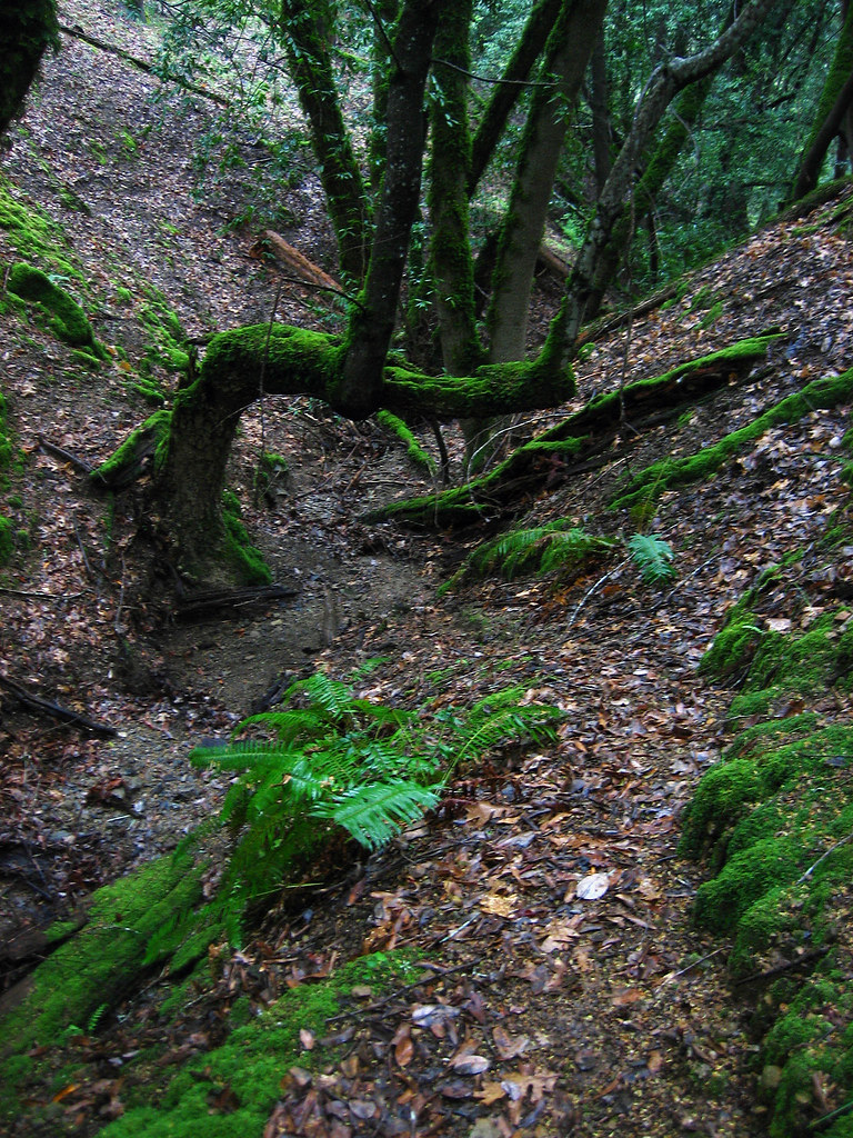
View from Buds Rock
Another view from my work..
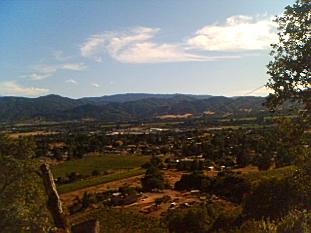
View of ukiah
View from Buds rock
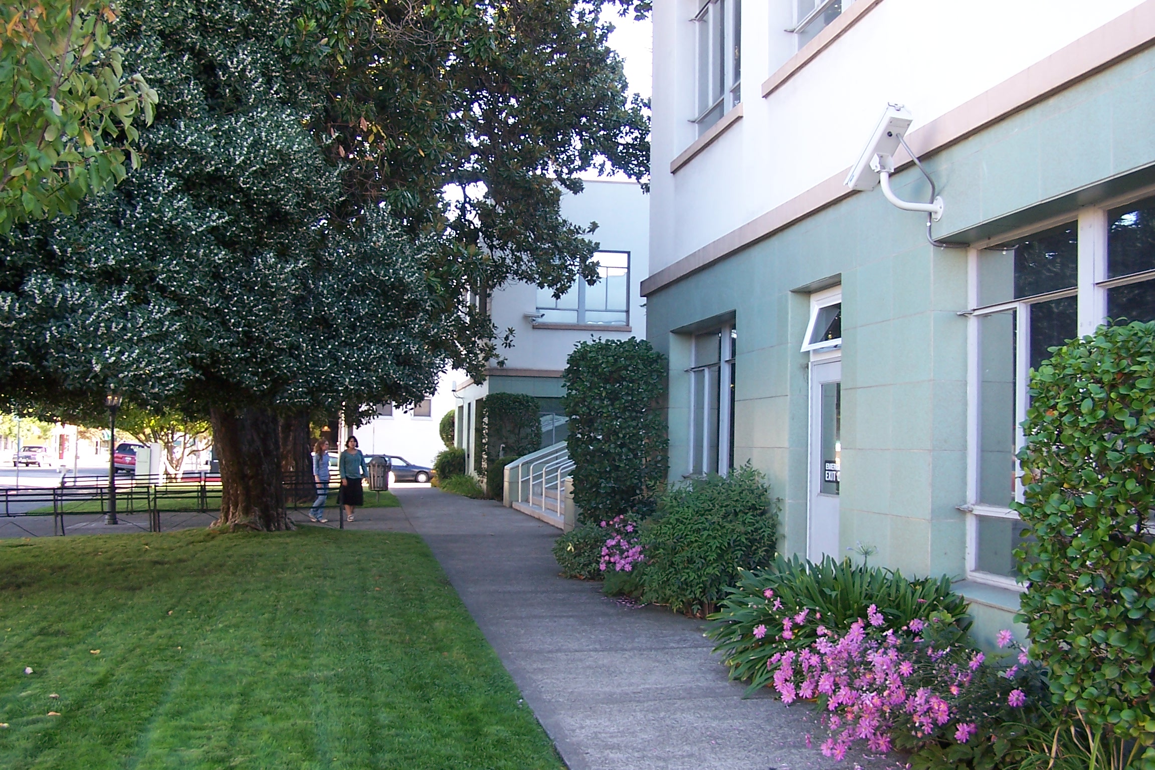
Mendocino County Courthouse, Side View
#HipstaConnect #PureHipstamatic #HipstaNerds
Camping with the fams.

fruit of the vine
Firestorm broke out hours later
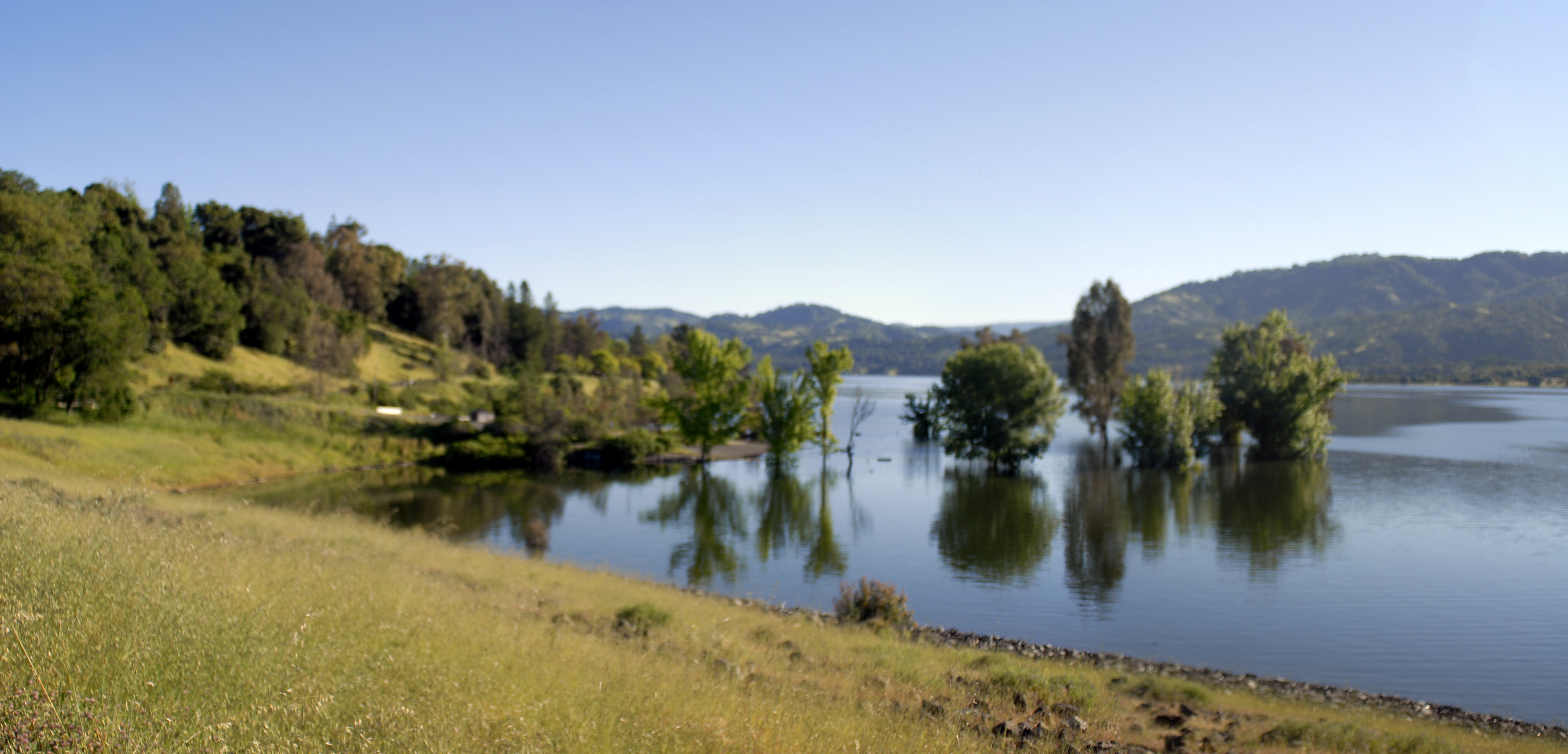
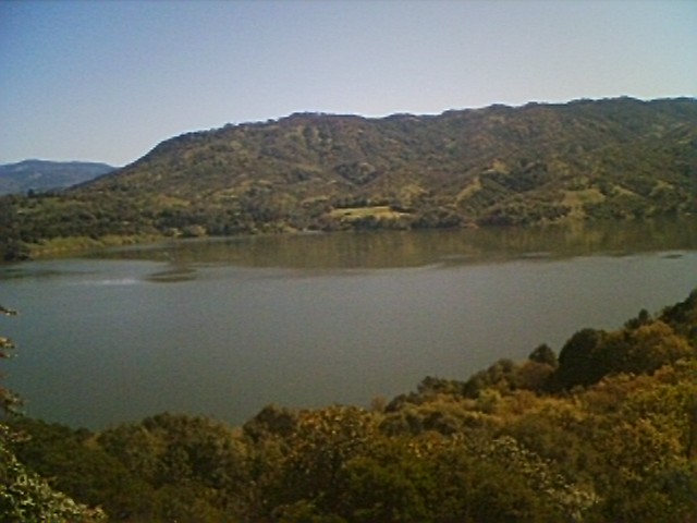
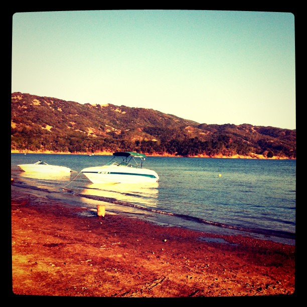
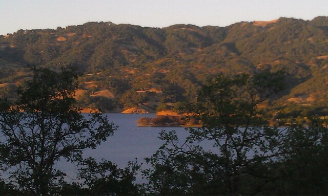
Lake Mendocino

Lake Mendocino
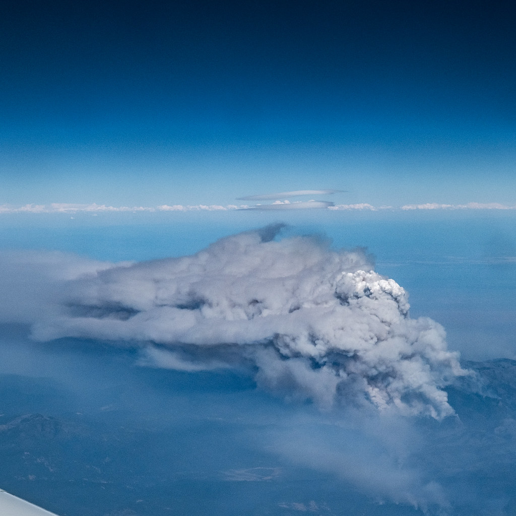
Mendocino Complex Fire Pyrocumulus cloud facing North-East
Alien Landing?
More trees
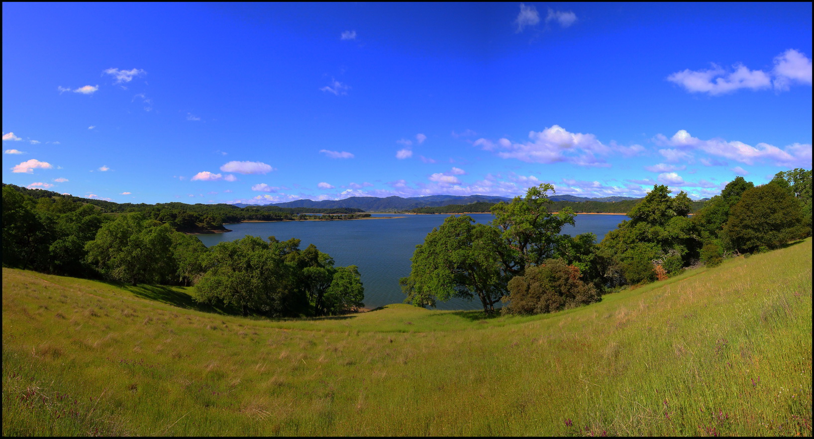
Lake Mendocino
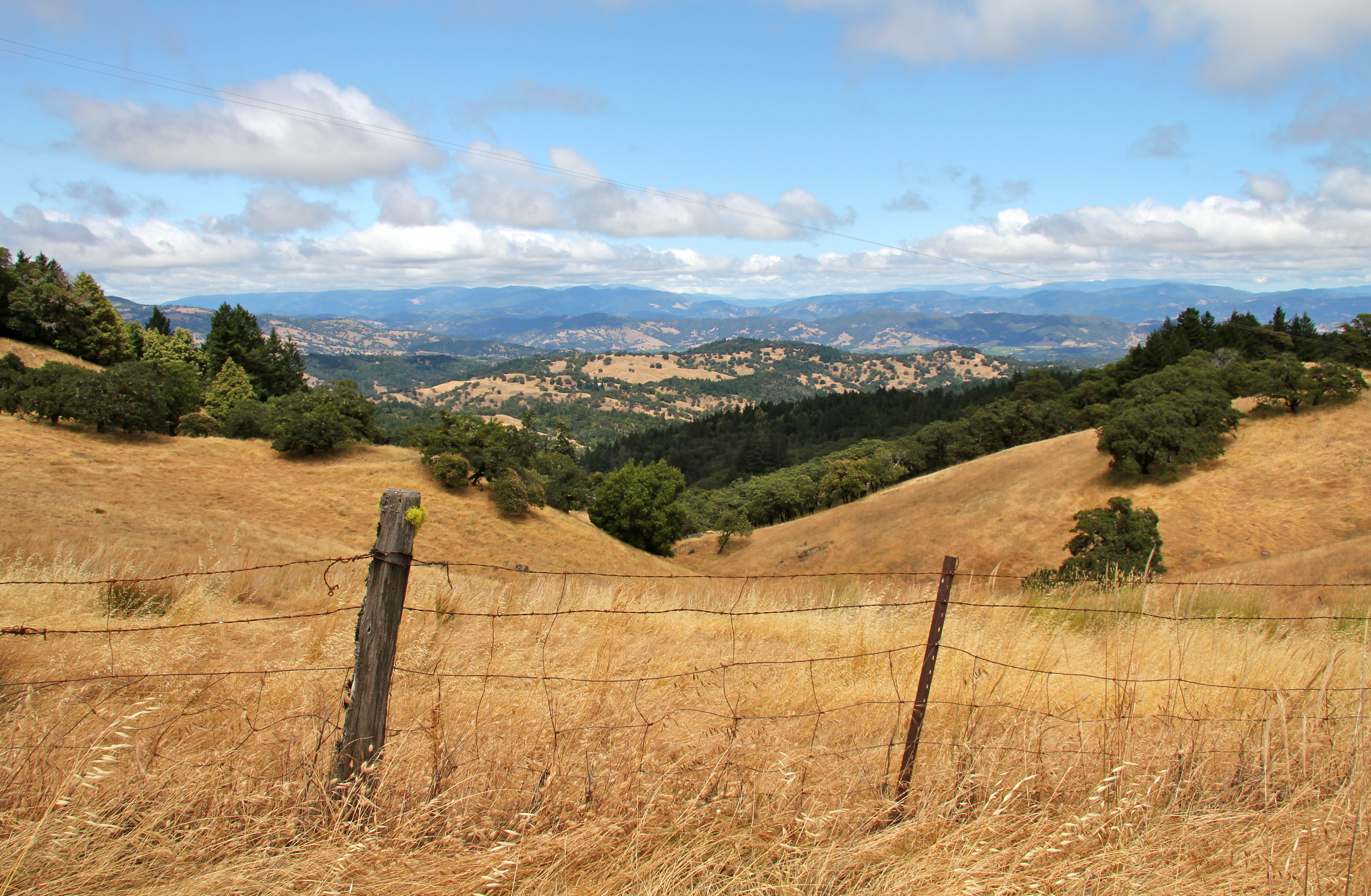
Toward Ukiah Valley

DSC_3311.jpg
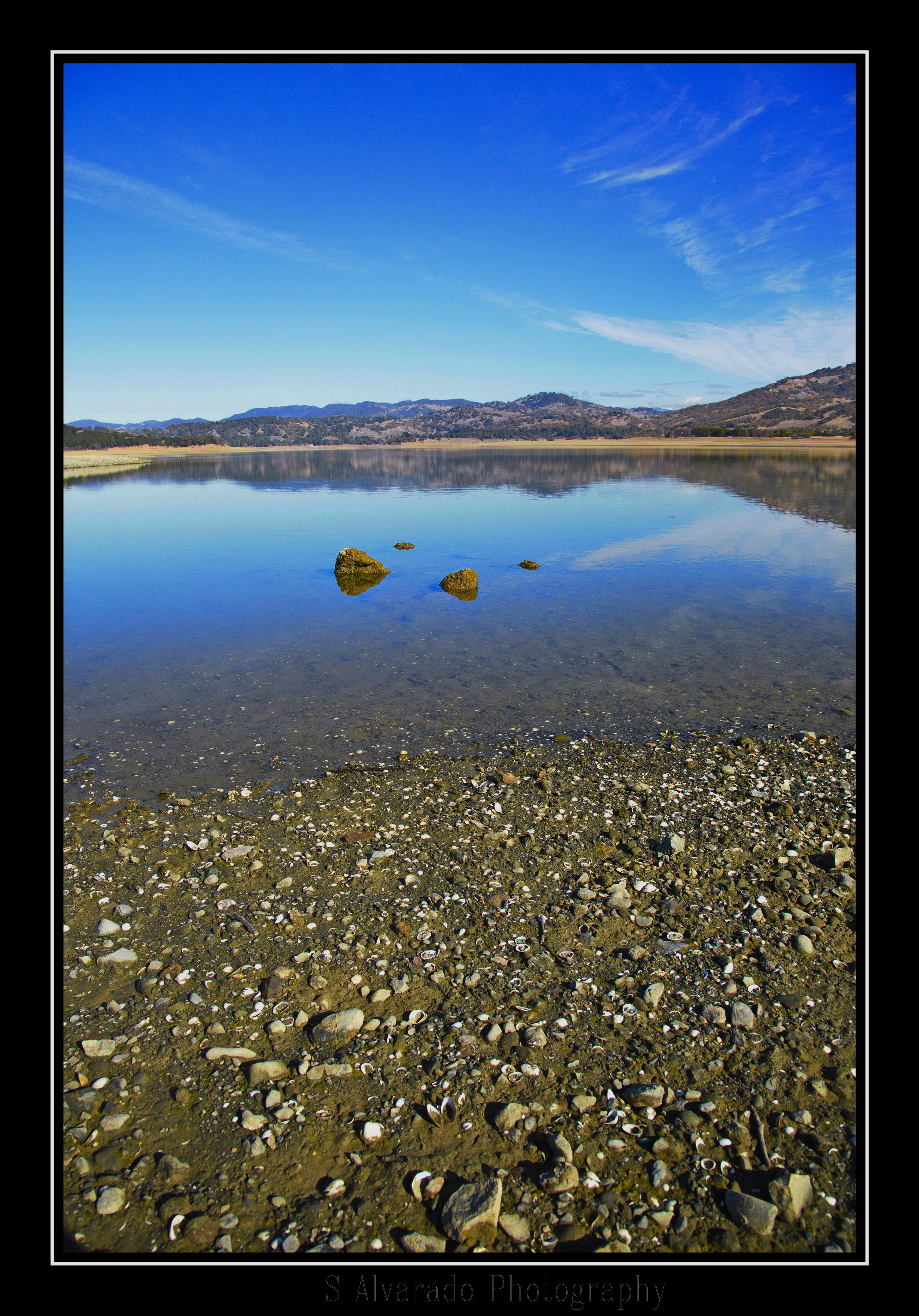
The Bottom of the Lake

My own private skyline.
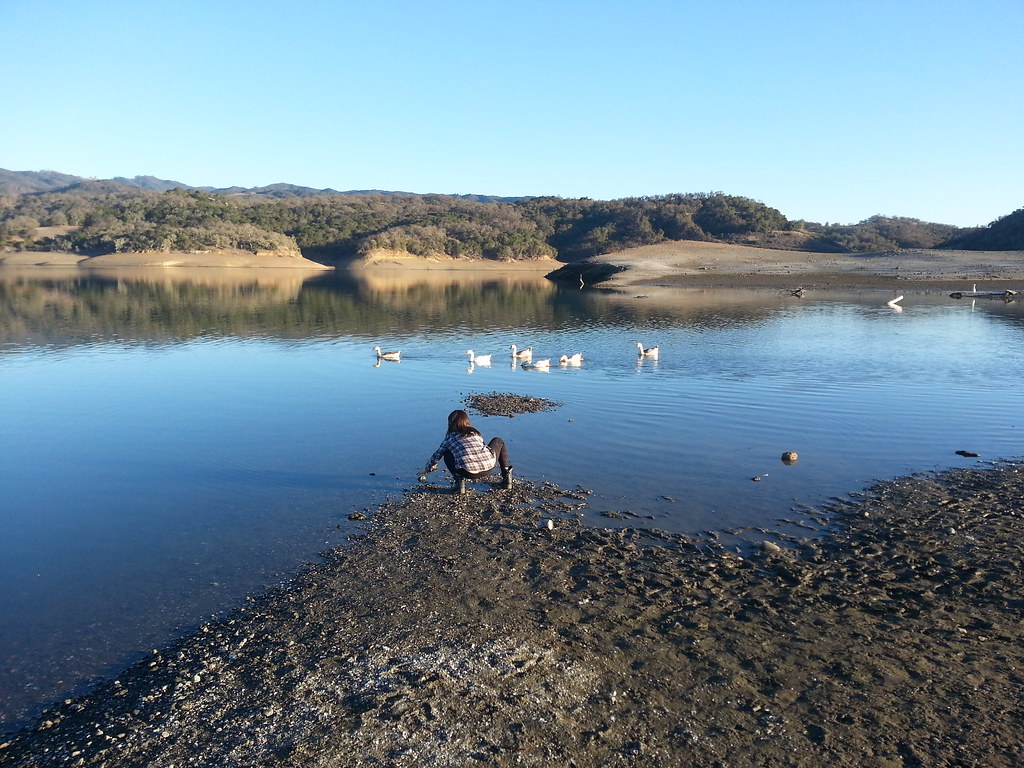
Lake Mendocino
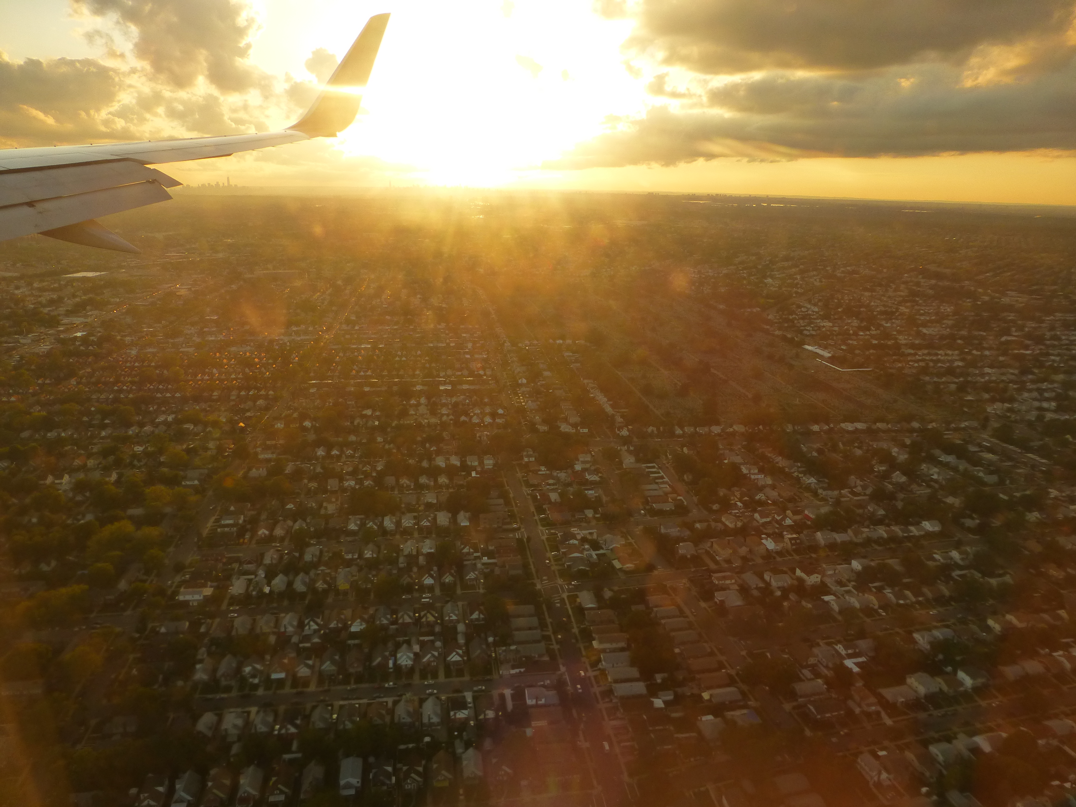
New York
Quiet Sunset
Lake mendocino, beautiful frolf course.
Jenner, CA, on our way to Point Arena
On the road again, Seein' things that I may never see again

Camera Roll-32
Topographic Map of S State St, Ukiah, CA, USA
Find elevation by address:

Places near S State St, Ukiah, CA, USA:
1268 S State St
1090 S State St
Airport Park Blvd, Ukiah, CA, USA
Luce Avenue
Airport Park Boulevard
528 Doolan Canyon Dr
850 Helen Ave
450 Crestview Dr
380 Fircrest Dr
2463 Pomo Ln
103 S State St
101 S State St
Ukiah
105 N Main St
308 E Perkins St
736 Canyon Ct
544 N Spring St
Orr Street
600 Park Blvd
821 Valley View Dr
Recent Searches:
- Elevation of Luther Road, Luther Rd, Auburn, CA, USA
- Elevation of Unnamed Road, Respublika Severnaya Osetiya — Alaniya, Russia
- Elevation of Verkhny Fiagdon, North Ossetia–Alania Republic, Russia
- Elevation of F. Viola Hiway, San Rafael, Bulacan, Philippines
- Elevation of Herbage Dr, Gulfport, MS, USA
- Elevation of Lilac Cir, Haldimand, ON N3W 2G9, Canada
- Elevation of Harrod Branch Road, Harrod Branch Rd, Kentucky, USA
- Elevation of Wyndham Grand Barbados Sam Lords Castle All Inclusive Resort, End of Belair Road, Long Bay, Bridgetown Barbados
- Elevation of Iga Trl, Maggie Valley, NC, USA
- Elevation of N Co Rd 31D, Loveland, CO, USA