Elevation of Airport Park Blvd, Ukiah, CA, USA
Location: United States > California > Ukiah >
Longitude: -123.19942
Latitude: 39.1335071
Elevation: 184m / 604feet
Barometric Pressure: 99KPa
Elevation Map:
Satellite Map:
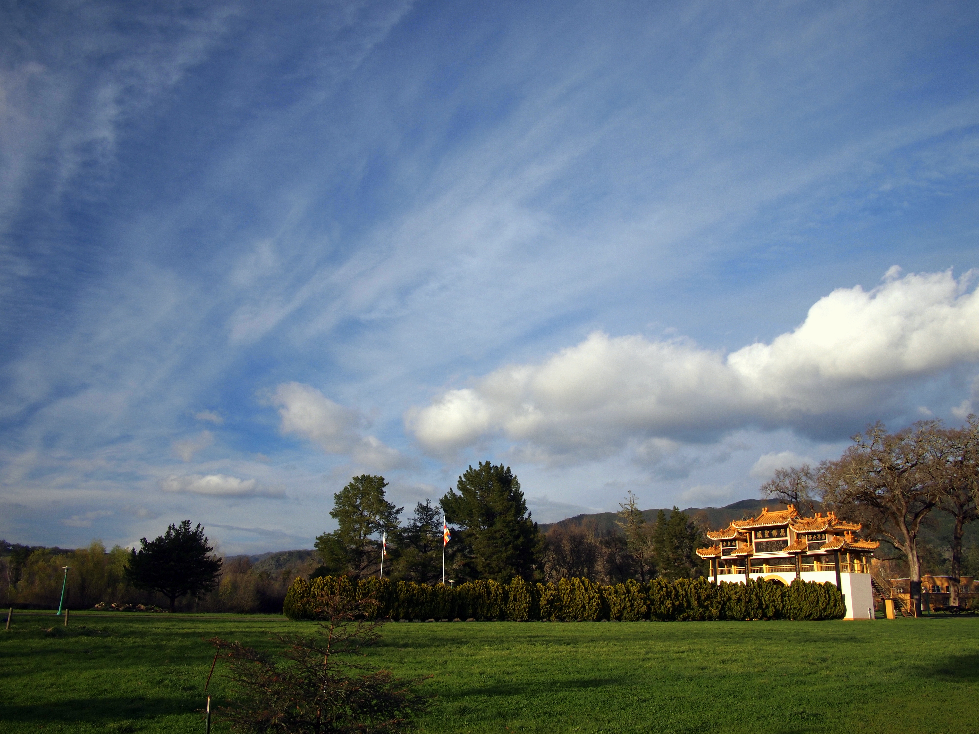
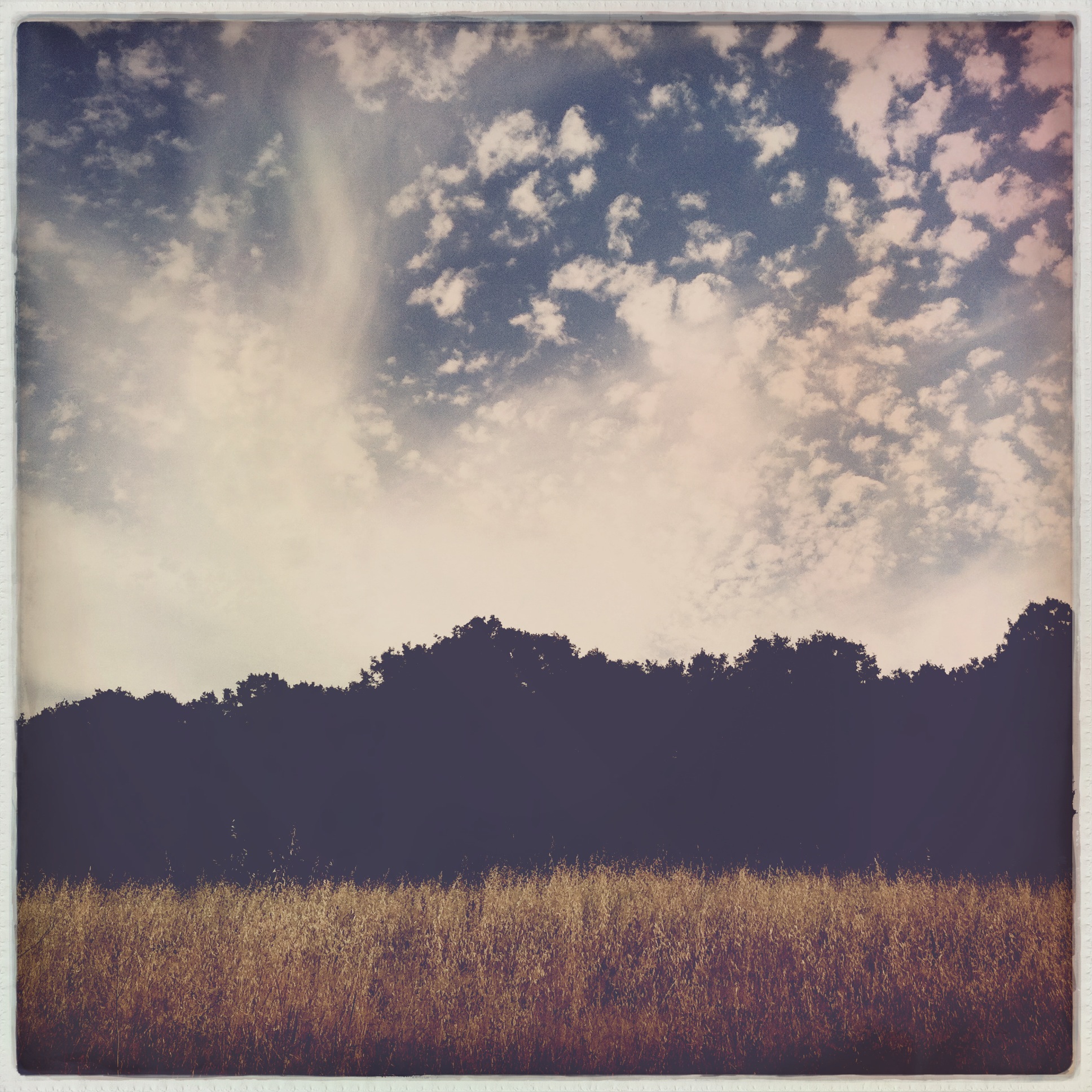
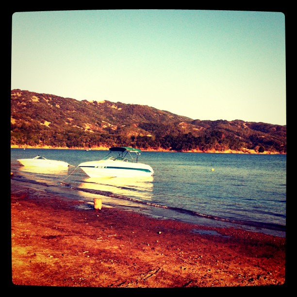
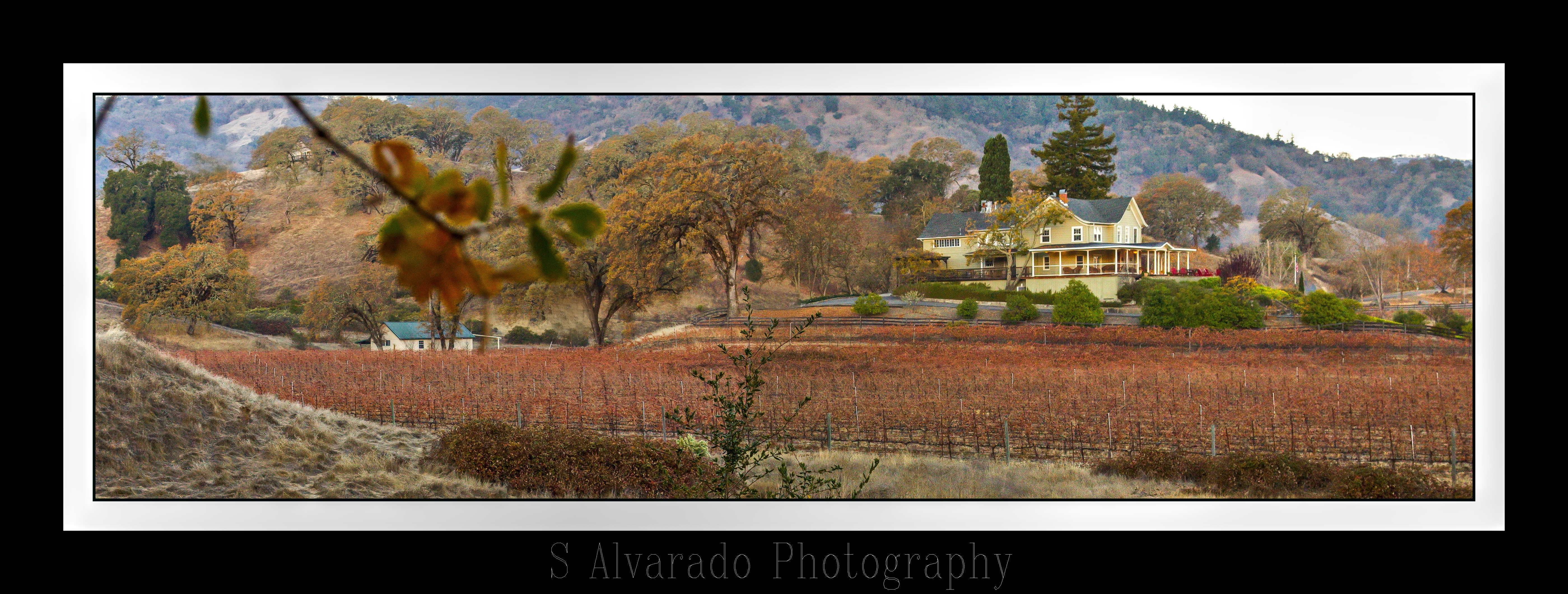
Related Photos:

Fall Colors, Ukiah (Explore)
Palace Hotel in Ukiah (Explore)
Palace Hotel in Ukiah
101 Motel - Ukiah, California

City View
View from my tent

Another View
Palace Hotel in Ukiah
Outside Ukiah

Racks of Wheels at Ceja Quality Tires, Ukiah

Palace Hotel in Ukiah
Pomo Basket

Lu-Ann Motel - Ukiah, California
Caddi Hood Ornament 1
Toward Ukiah Valley
A view from my work..
Valley View Trail, Cow Mountain BLM, Ukiah, CA - 20 February 2015

Rear View Window
Caddi One 1
M. approaches slowly
The View
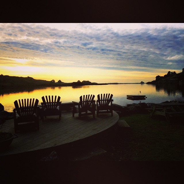
Lake Mendocino

The Barn on the left. Barn Cove at Lake Mendocino ...
More trees
Blue Sky and Streaky Cloud
#HipstaConnect #PureHipstamatic #HipstaNerds
Camping with the fams.

fruit of the vine

Ferns with rocks
Jaxon Keys Vineyard
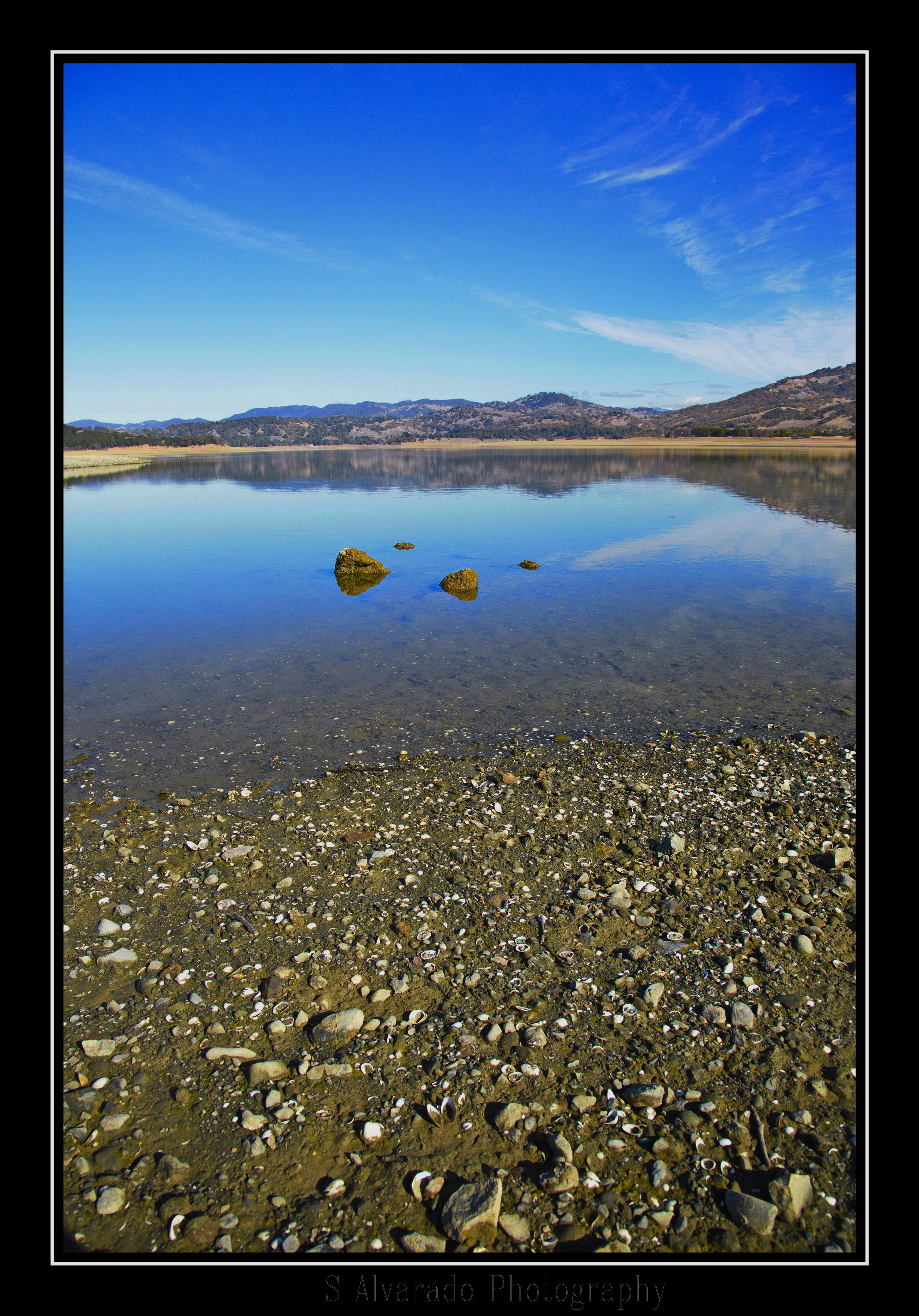
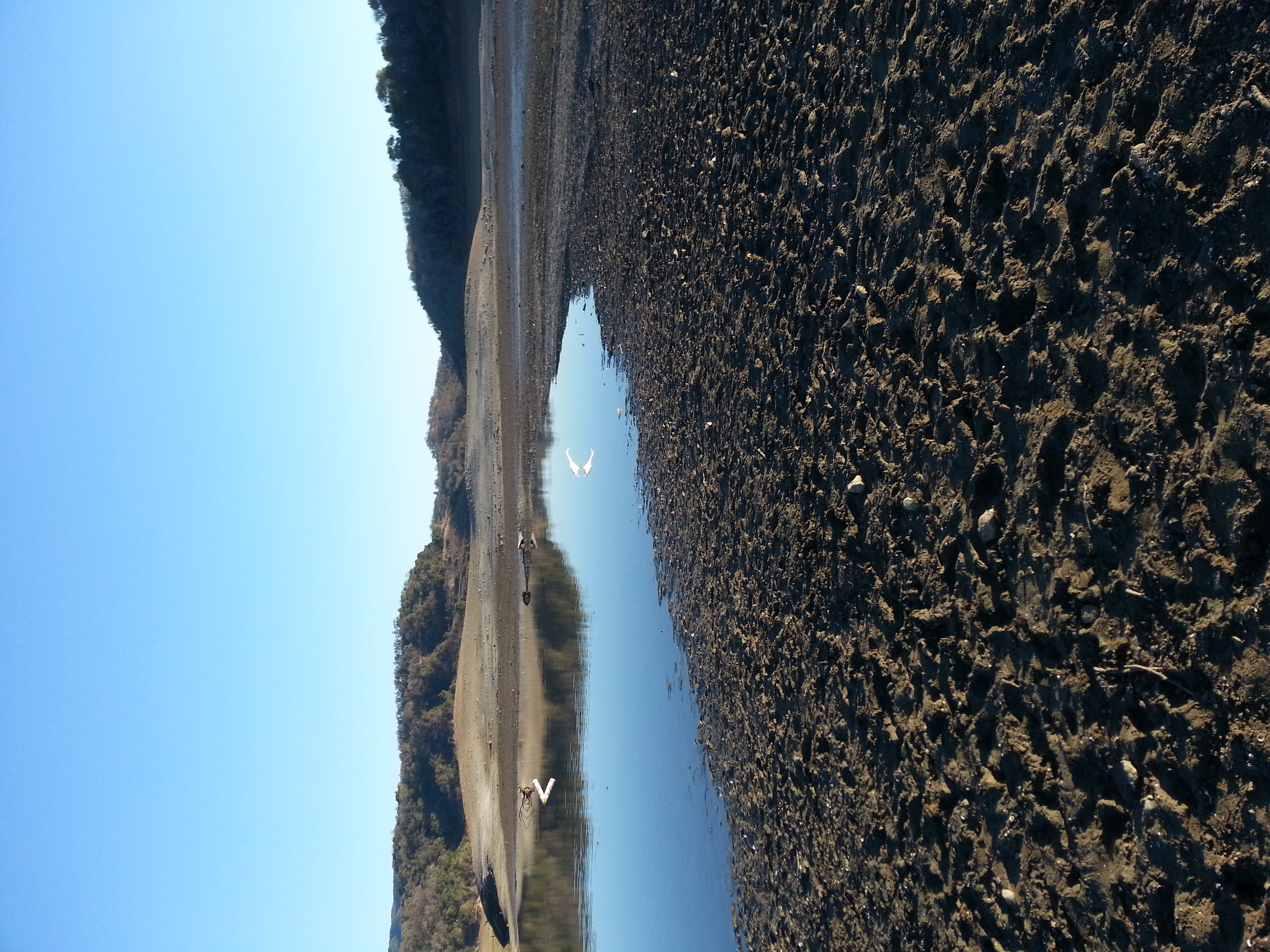
The Bottom of the Lake
Jenner, CA, on our way to Point Arena

Camping Lake
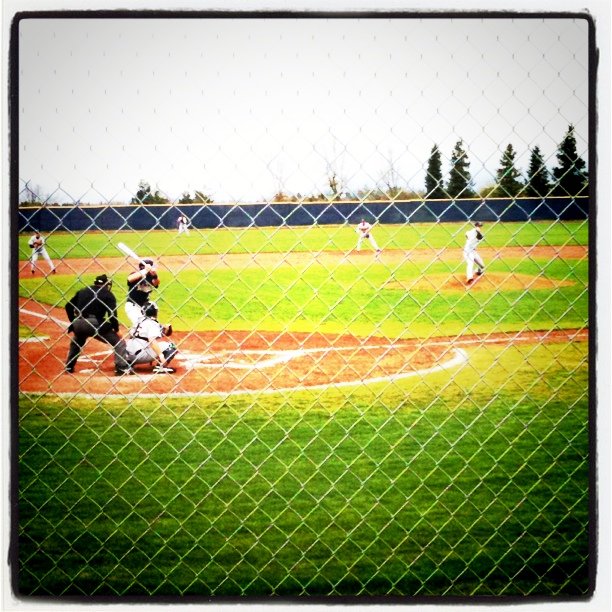
Mendocino College beats Yuba City 8-2
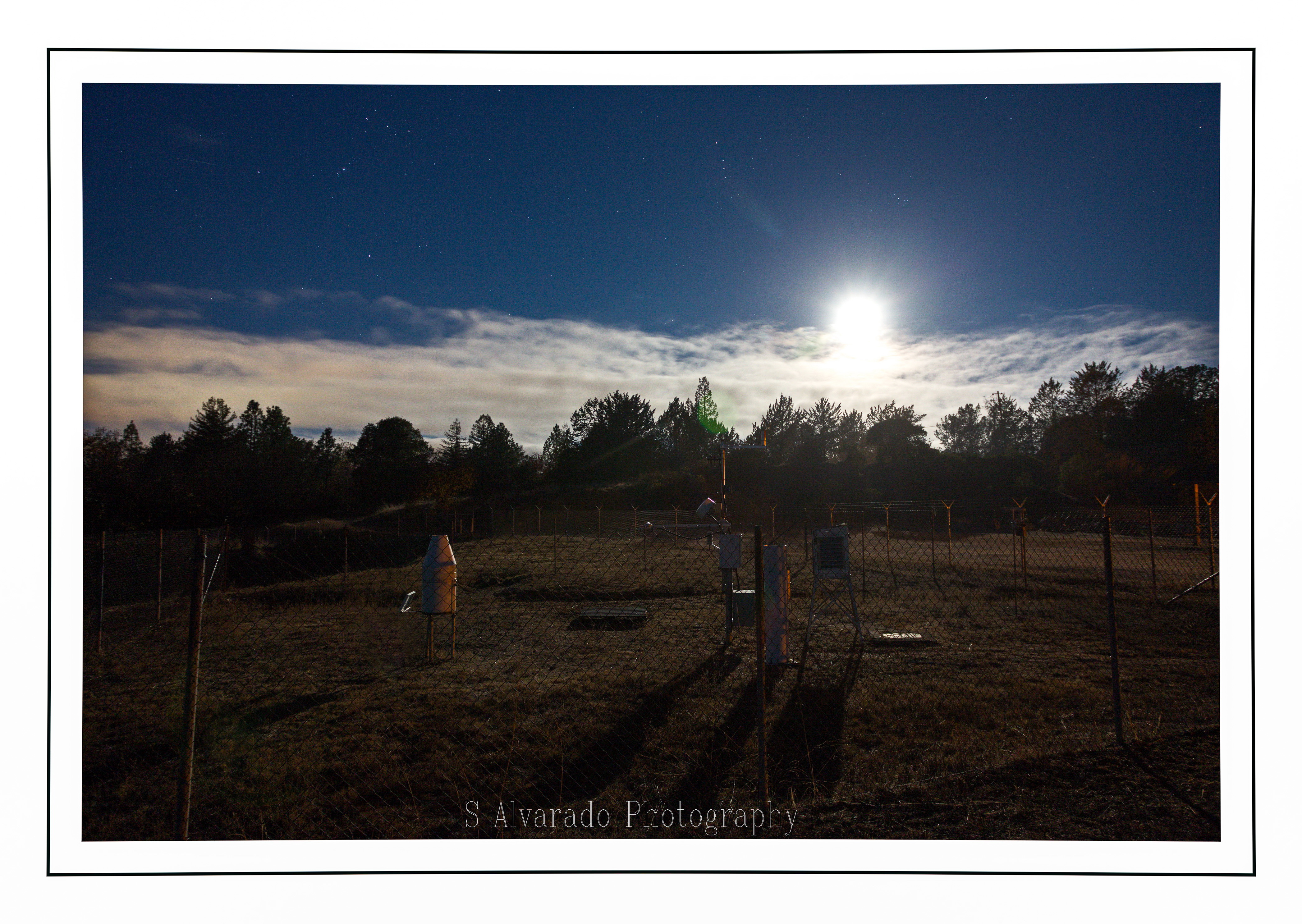
Alien Landing?
Lake Mendocino

My own private skyline.

DSC_3311.jpg
Topographic Map of Airport Park Blvd, Ukiah, CA, USA
Find elevation by address:

Places near Airport Park Blvd, Ukiah, CA, USA:
Airport Park Boulevard
1244 S State St
1268 S State St
1090 S State St
Luce Avenue
2463 Pomo Ln
528 Doolan Canyon Dr
850 Helen Ave
308 E Perkins St
103 S State St
380 Fircrest Dr
105 N Main St
101 S State St
Ukiah
450 Crestview Dr
736 Canyon Ct
544 N Spring St
Orr Street
1737 E Madrone Ave
Ridge Rd, Ukiah, CA, USA
Recent Searches:
- Elevation of Côte-des-Neiges, Montreal, QC H4A 3J6, Canada
- Elevation of Bobcat Dr, Helena, MT, USA
- Elevation of Zu den Ihlowbergen, Althüttendorf, Germany
- Elevation of Badaber, Peshawar, Khyber Pakhtunkhwa, Pakistan
- Elevation of SE Heron Loop, Lincoln City, OR, USA
- Elevation of Slanický ostrov, 01 Námestovo, Slovakia
- Elevation of Spaceport America, Co Rd A, Truth or Consequences, NM, USA
- Elevation of Warwick, RI, USA
- Elevation of Fern Rd, Whitmore, CA, USA
- Elevation of 62 Abbey St, Marshfield, MA, USA