Elevation of Farm to Market, Bertram, TX, USA
Location: United States > Texas > Burnet County > Bertram >
Longitude: -98.078766
Latitude: 30.8148896
Elevation: 366m / 1201feet
Barometric Pressure: 97KPa
Elevation Map:
Satellite Map:
Related Photos:
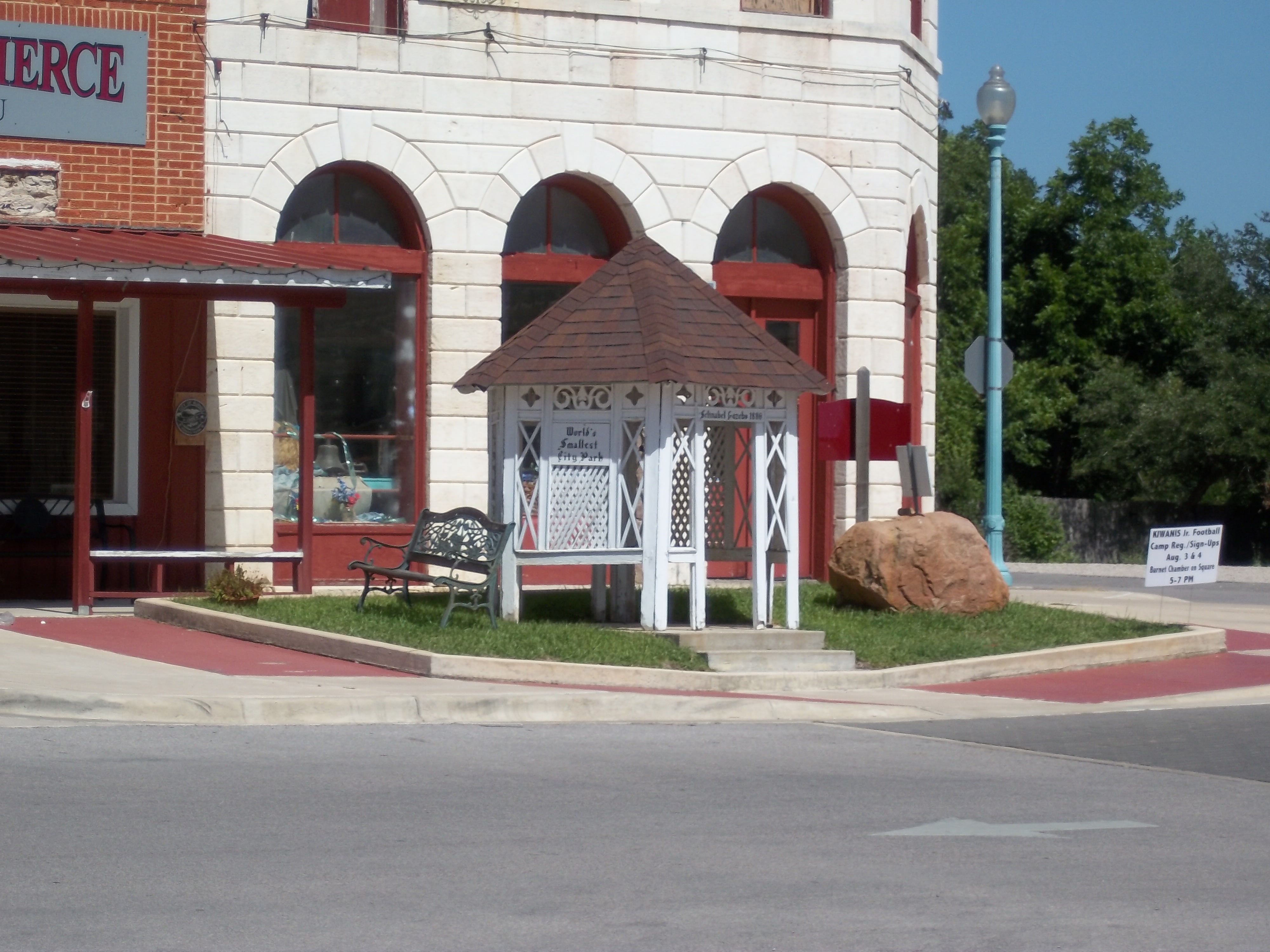
World's Smallest City Park, Burnet, Texas

bethlehem in burnet - street
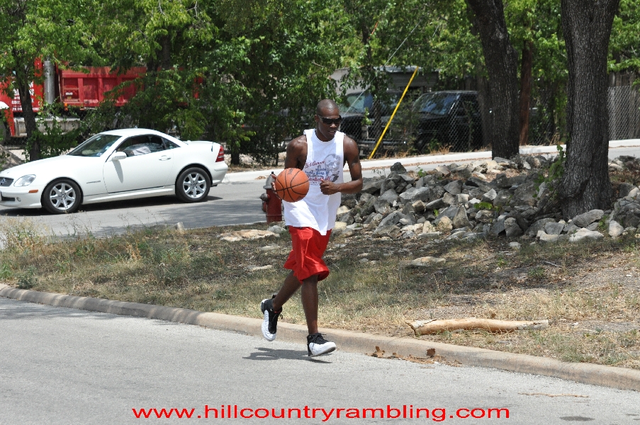
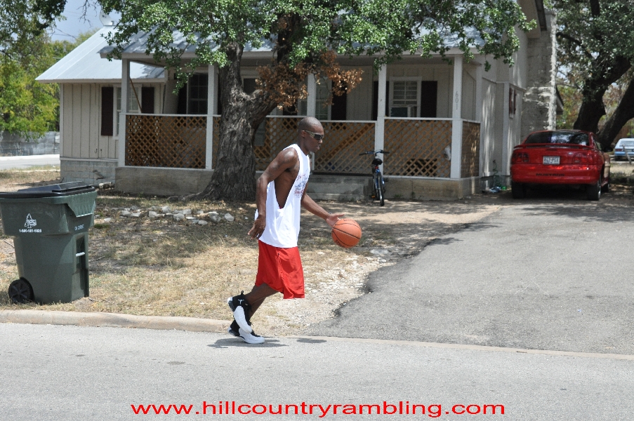
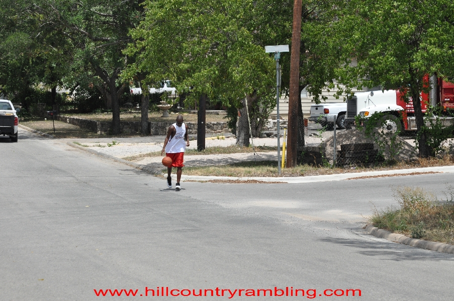
Guy Walking and Bouncing Basketball - 07
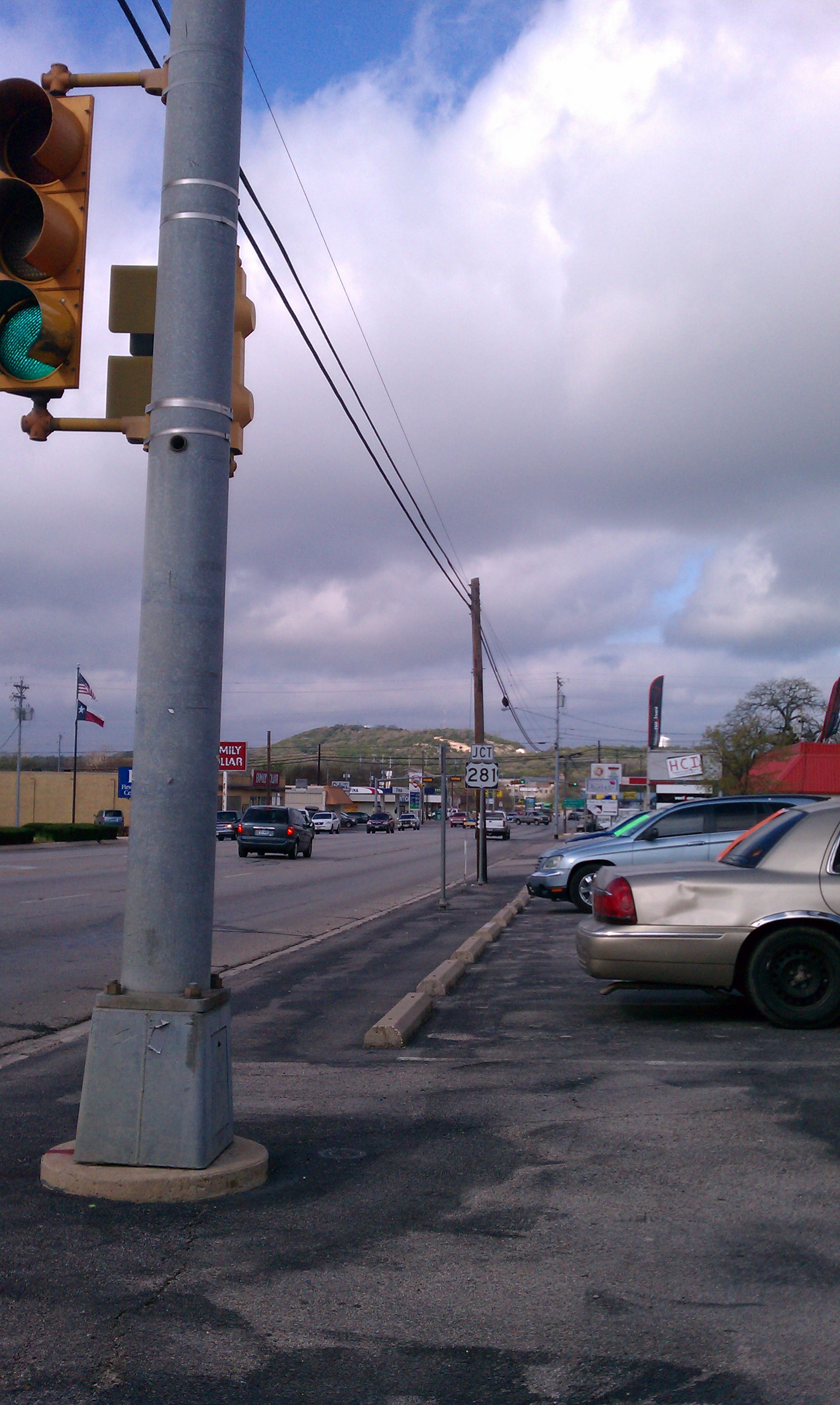
Burnet, Texas

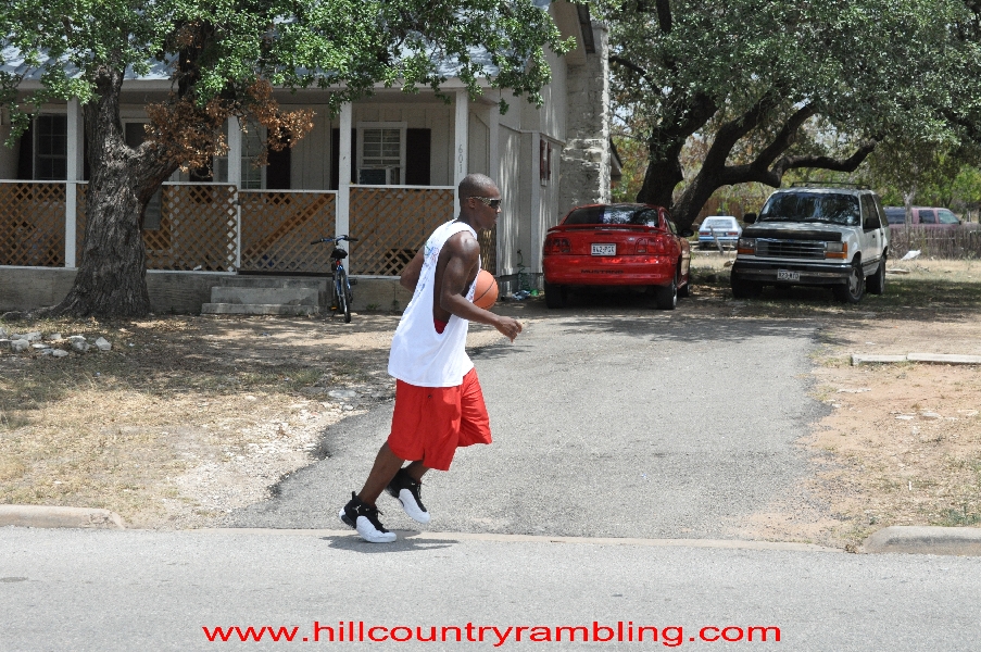
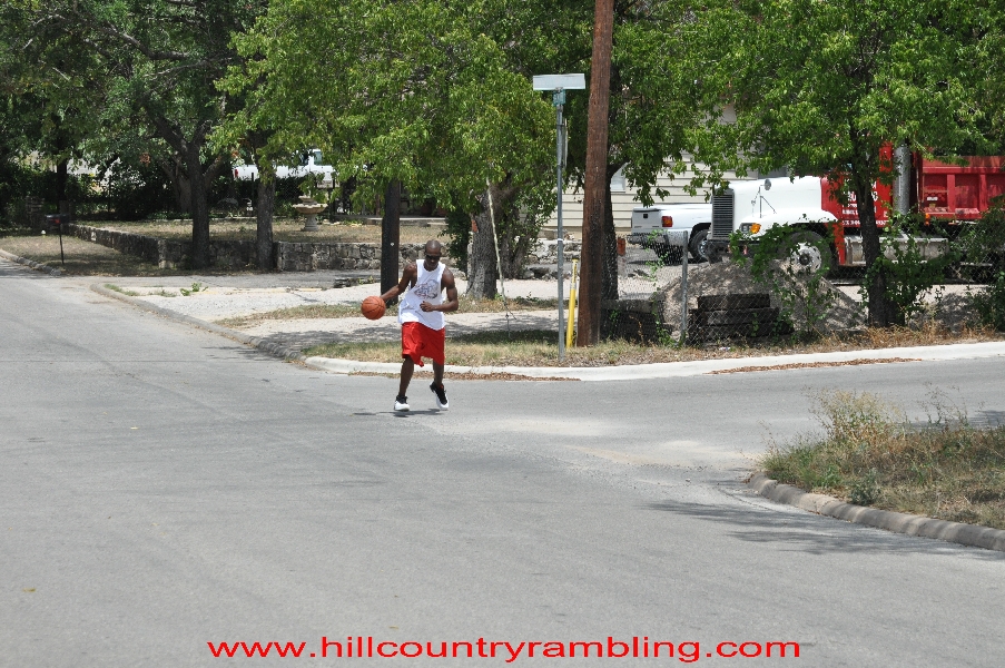
Guy Walking and Bouncing Basketball - 08
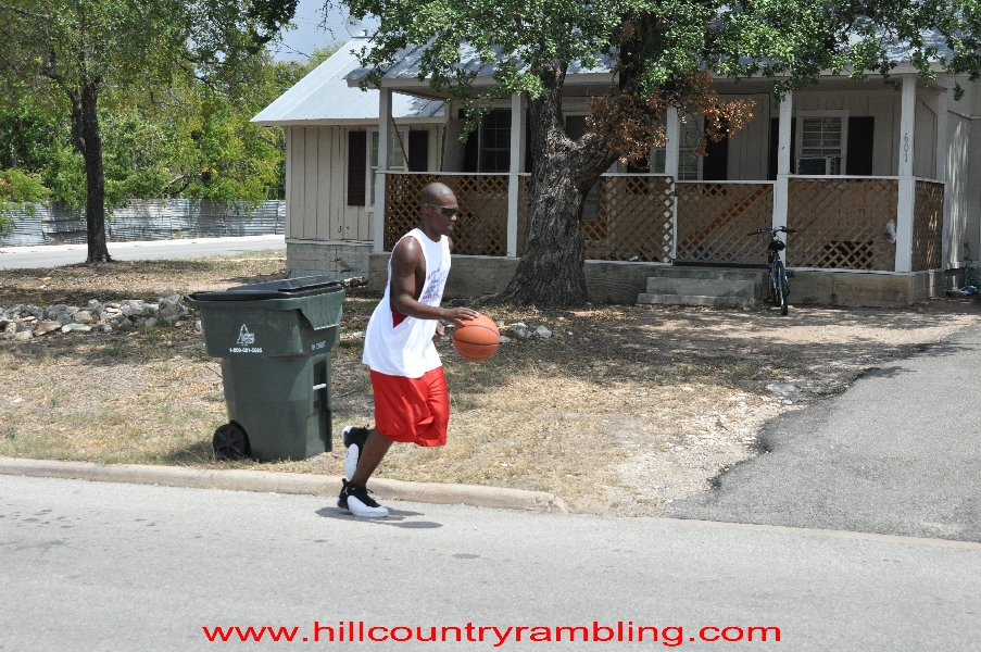
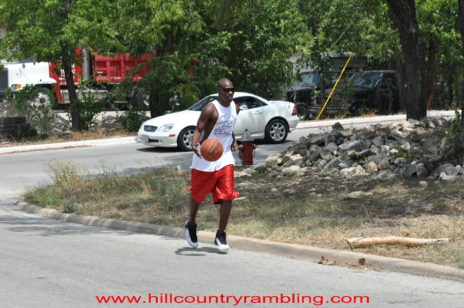
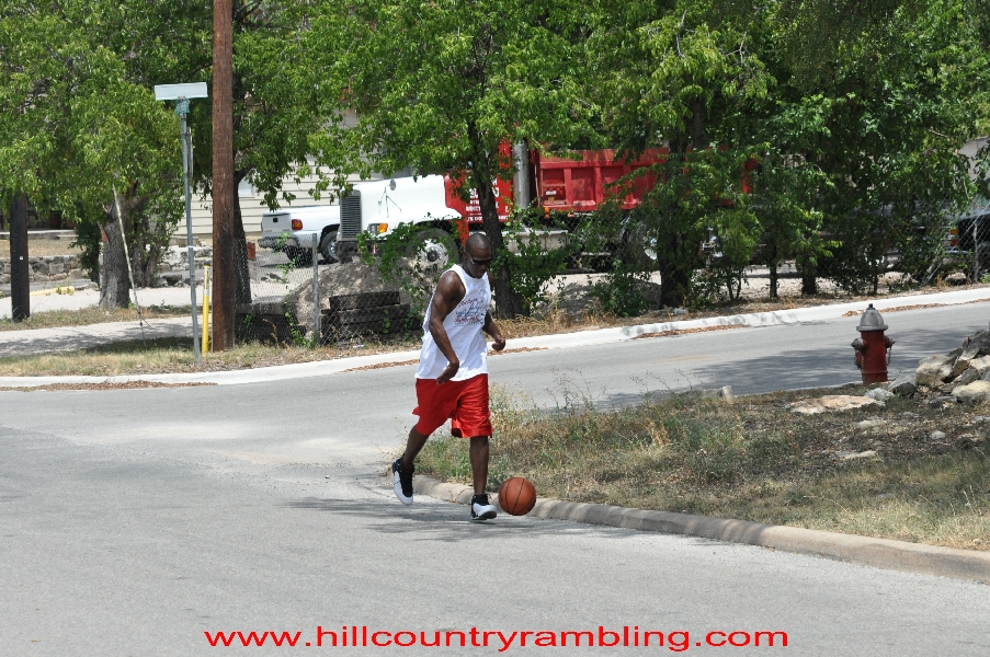
Guy Walking and Bouncing Basketball - 10
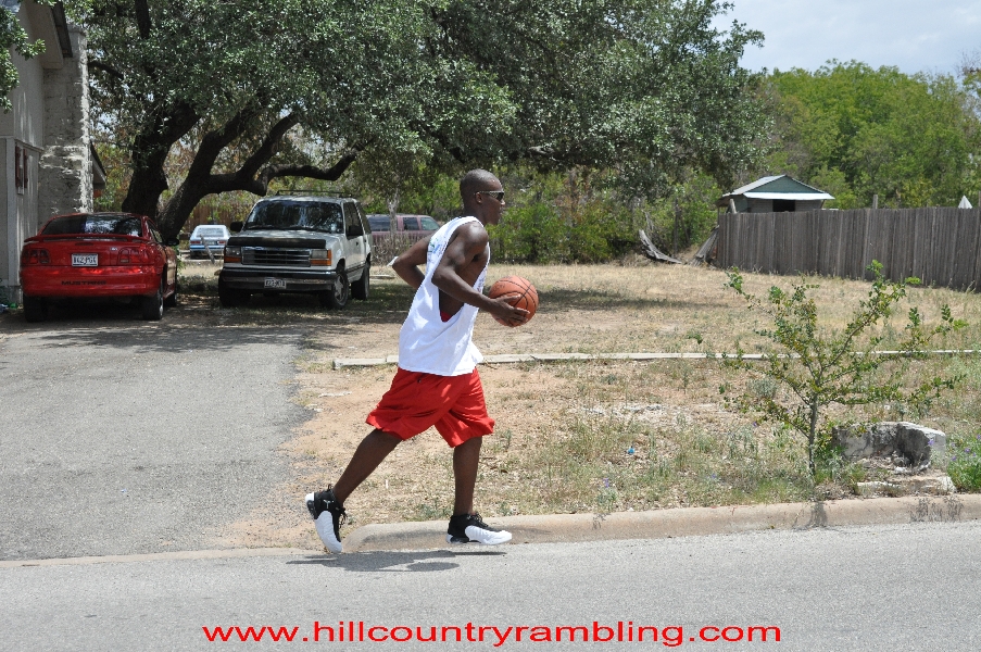
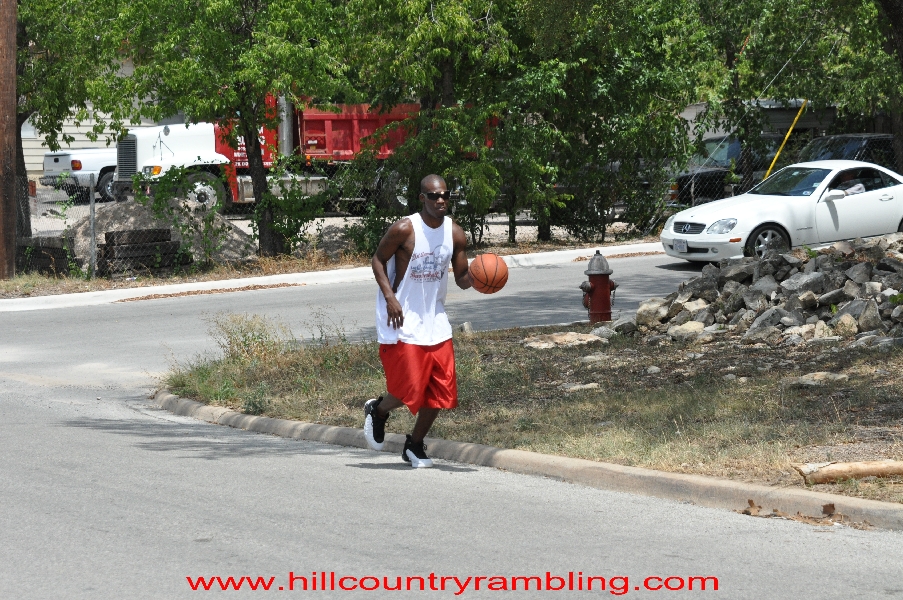
Guy Walking and Bouncing Basketball - 11
Guy Walking and Bouncing Basketball - 12

Guy Walking and Bouncing Basketball - 09
Guy Walking and Bouncing Basketball - 06
Guy Walking and Bouncing Basketball - 14

Guy Walking and Bouncing Basketball - 13
Guy Walking and Bouncing Basketball - 02
Guy Walking and Bouncing Basketball - 03
Guy Walking and Bouncing Basketball - 04
Guy Walking and Bouncing Basketball - 05
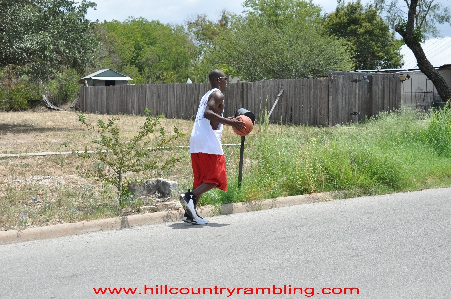
Guy Walking and Bouncing Basketball - 16
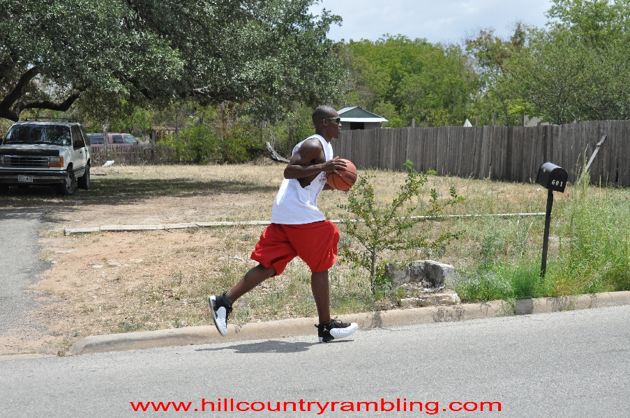
Guy Walking and Bouncing Basketball - 15

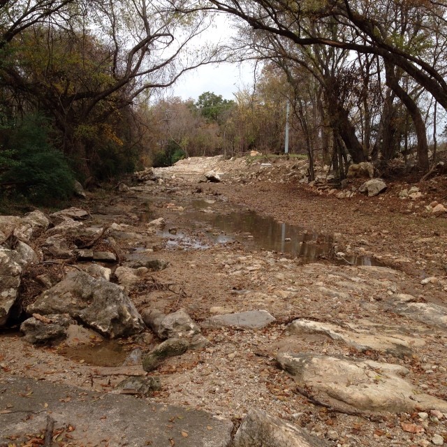
North Rocky Creek
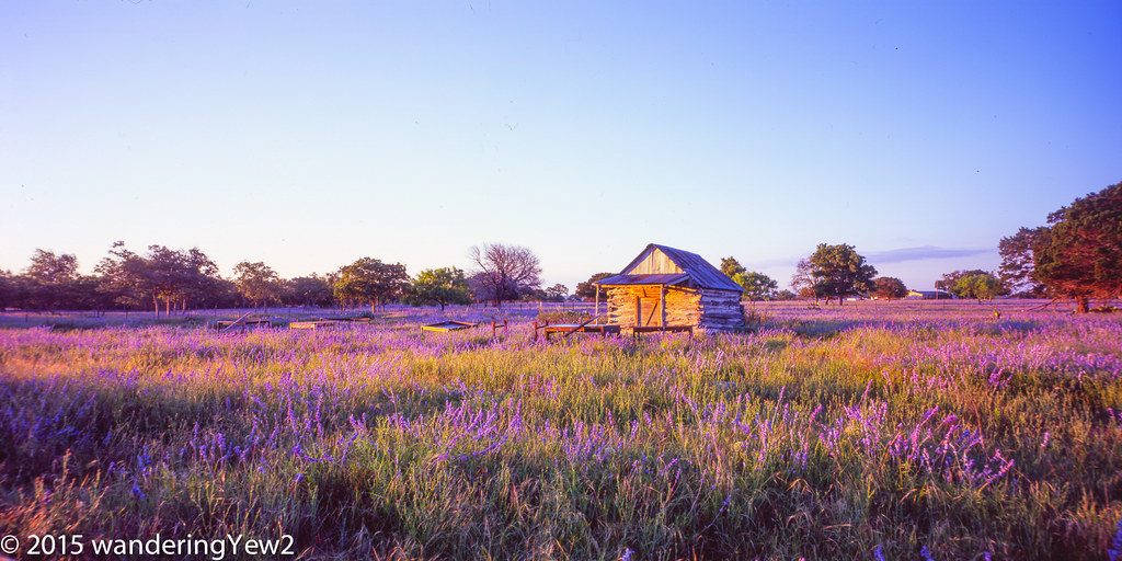
BurnetCountyWildflowers_panoramic-742
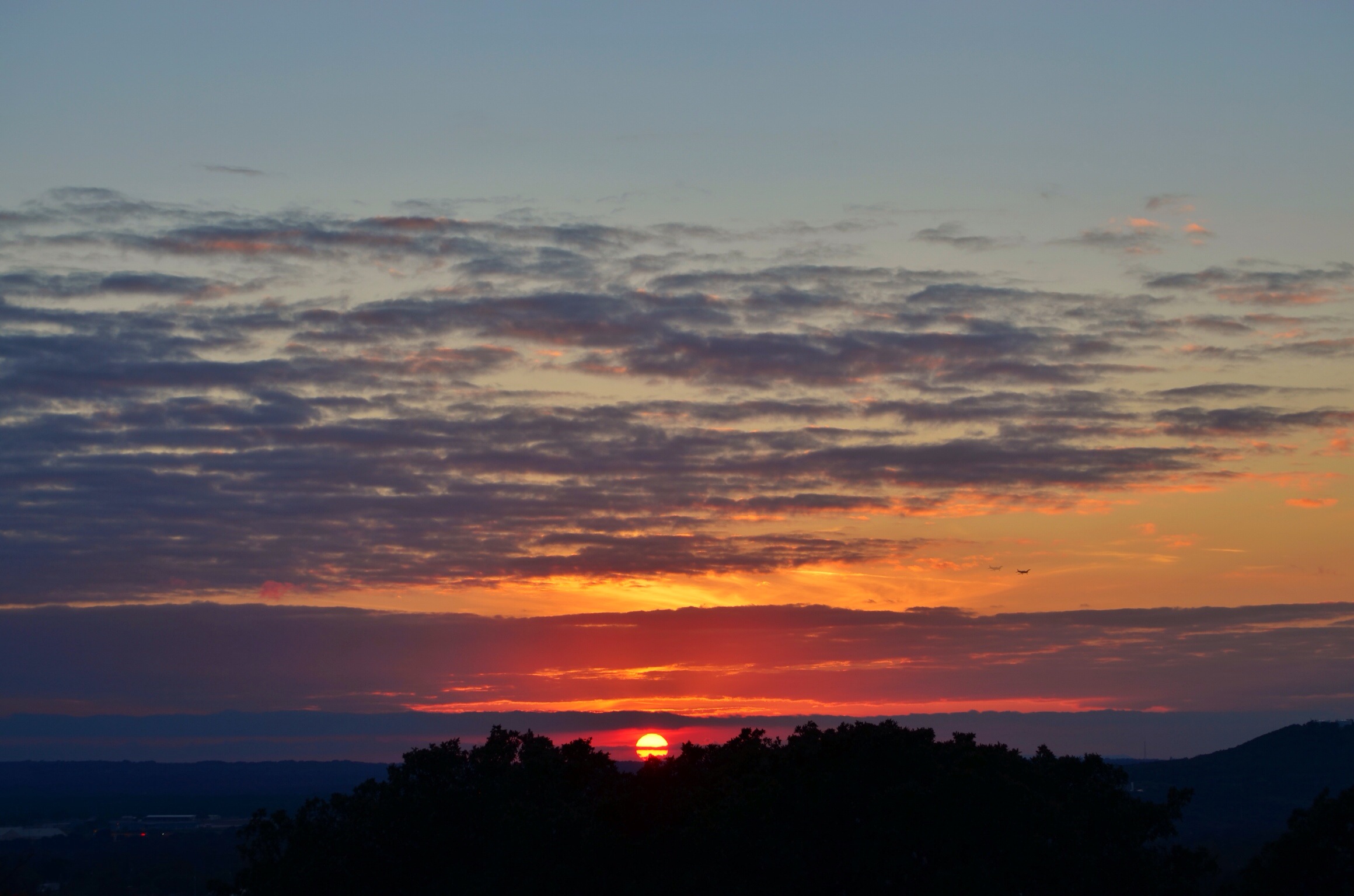
Texas sky's
Sunset-38.jpg

Sunset-28.jpg

Hill country sunset
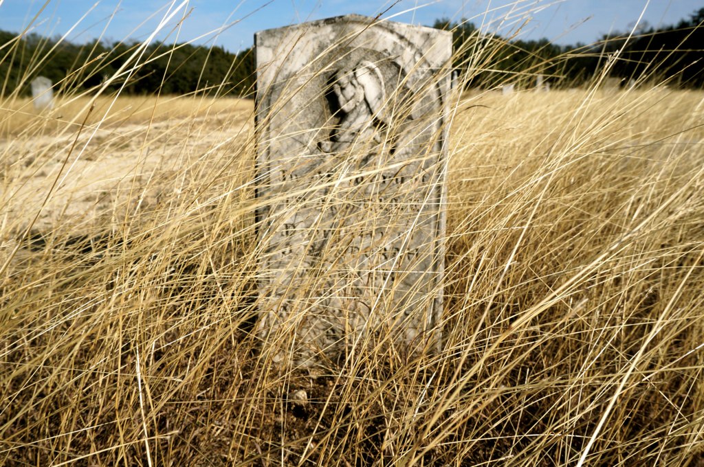
San Gabriel Cemetery

Texas sky's
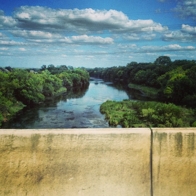
#downstreamfromdowntown #backhand #imdrivinghere #texasrivers #coloradoriver
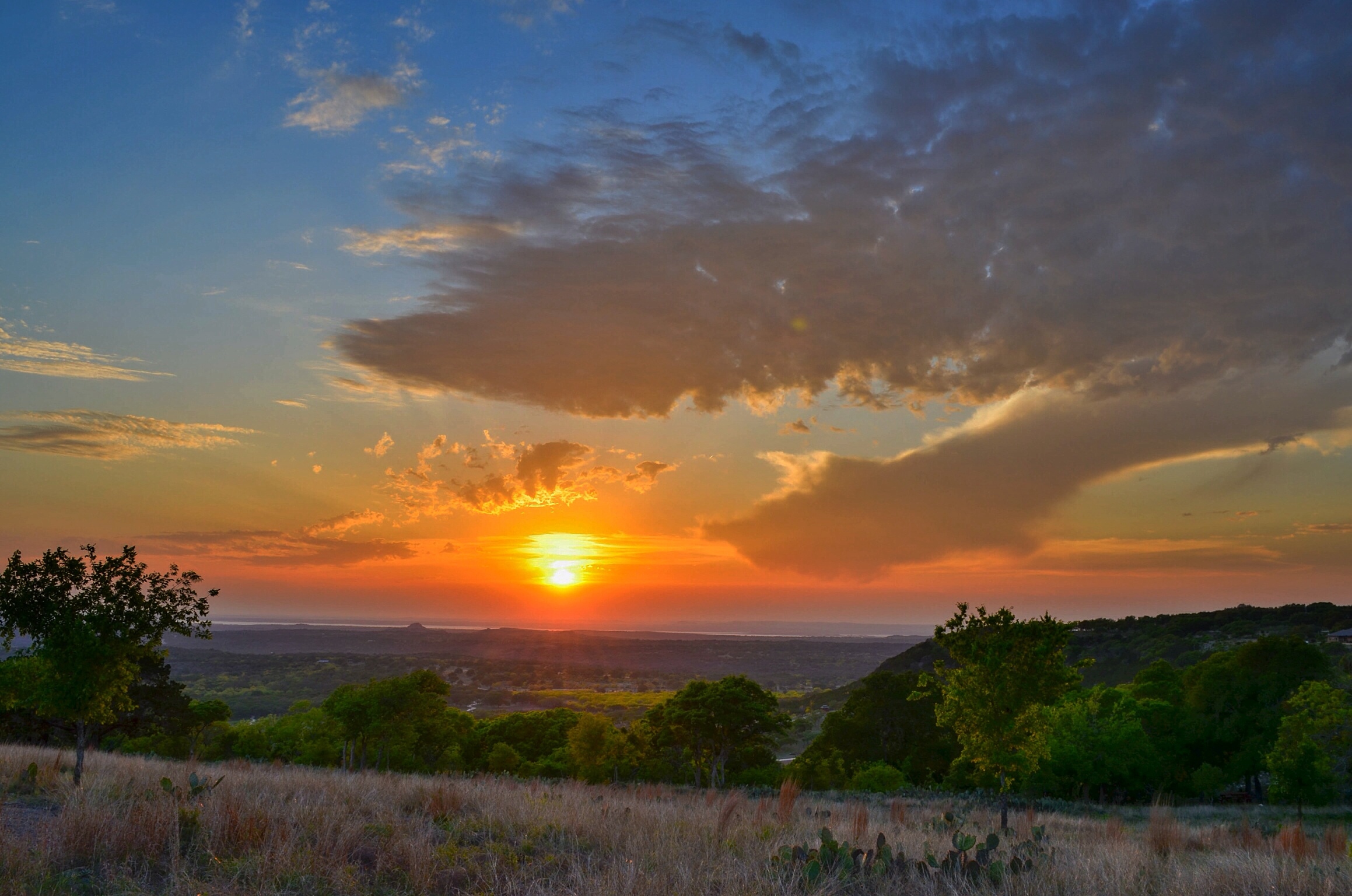
Beautiful sunset

Pilot Knob Sunset

Among the TX bluebonnets
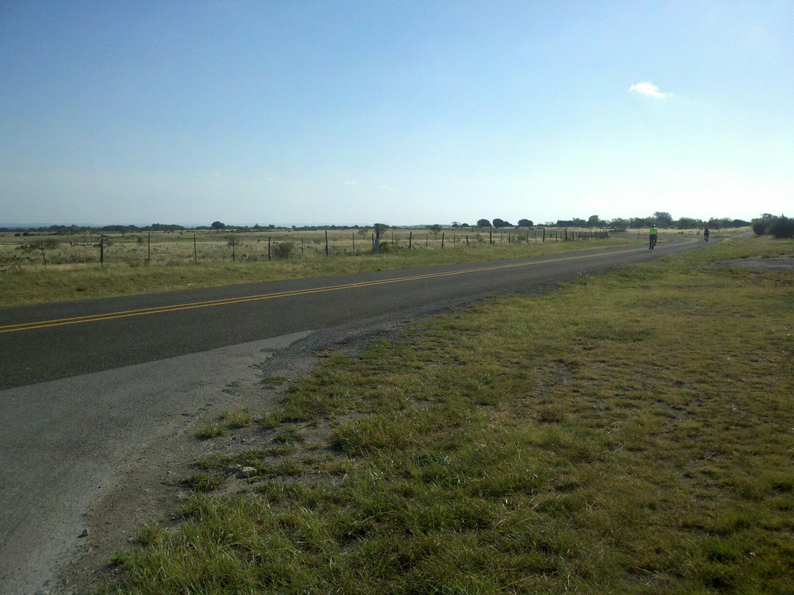
(2011-10-15) Best of the West with Slow Motion!
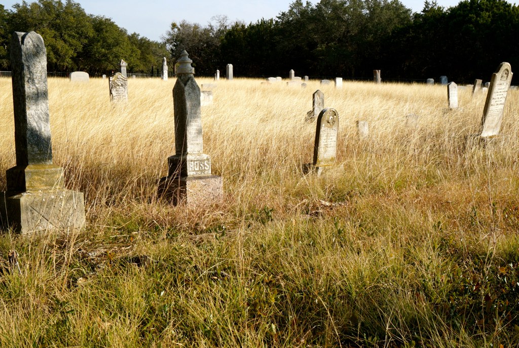
San Gabriel Cemetery
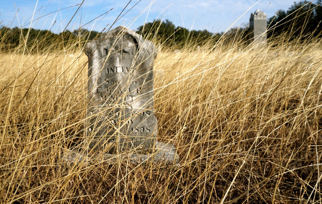
Infant Son
(2011-10-01) Best of the West!
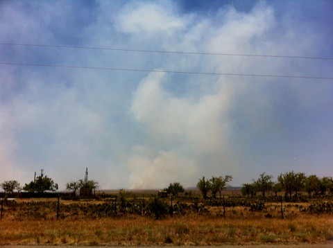
Fire in the Hill Country!

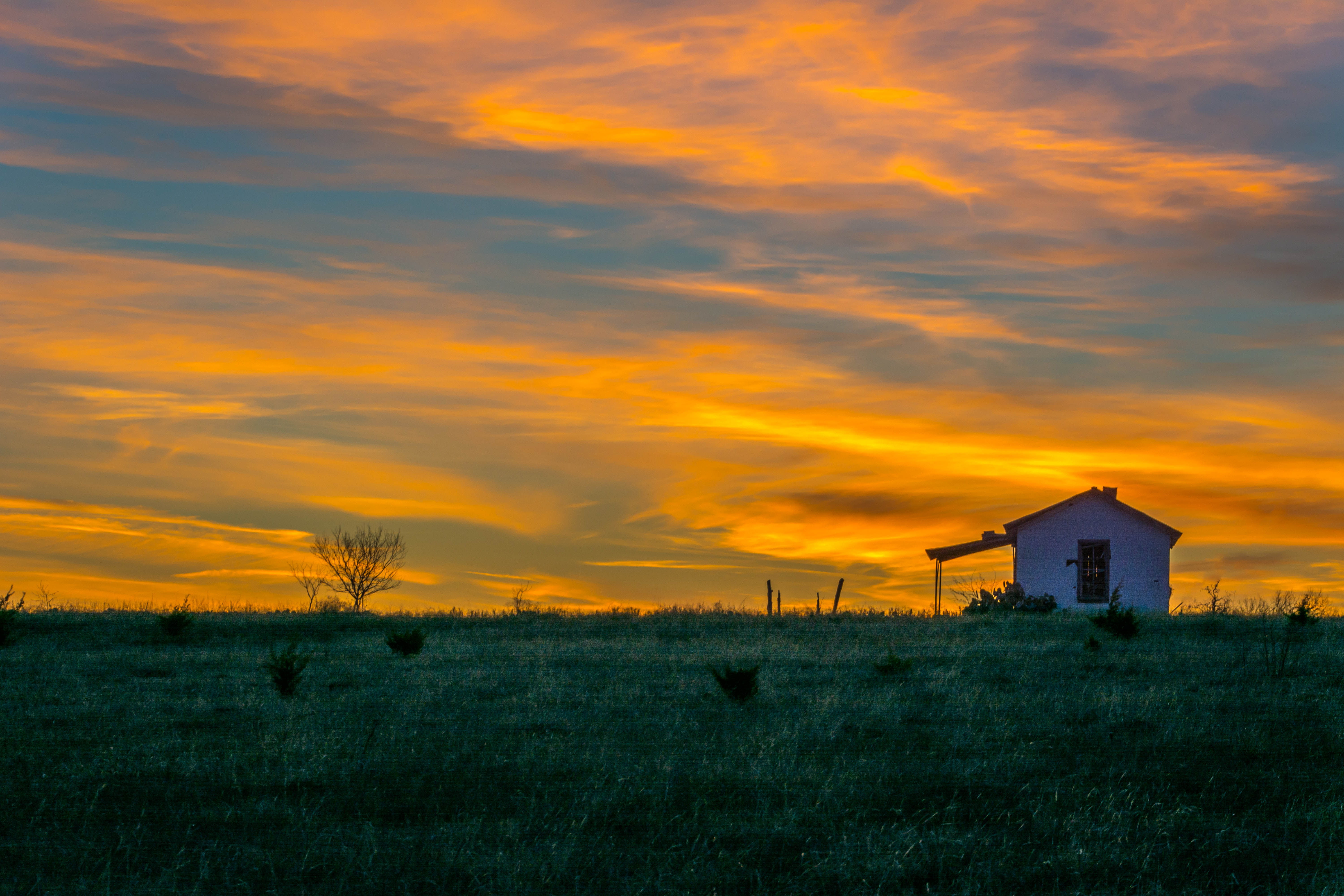
Bertram, Texas
Beyond the end of the park.
Burnet Joppa Lake Victor_CR210 and FM963_66
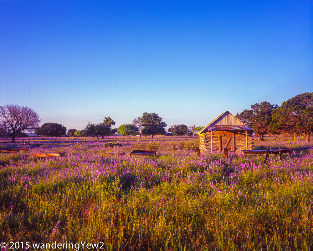
BurnetCountyWildflowers2015-750
Topographic Map of Farm to Market, Bertram, TX, USA
Find elevation by address:

Places near Farm to Market, Bertram, TX, USA:
County Road
Bertram
531 Co Rd 268
102 Estrella
5412 Co Rd 202
955 Co Rd 250
601 Rolling Block Dr
651 Cedar Break Ln
FM, Burnet, TX, USA
Leffingwell Lane
1200 E Polk St
Cedar Break Lane
FM, Florence, TX, USA
220 S Pierce St
Burnet
1500 Double File Trce
125 Sunrise Cir
Burnet County
125 Deer Trail
Briggs
Recent Searches:
- Elevation of Corso Fratelli Cairoli, 35, Macerata MC, Italy
- Elevation of Tallevast Rd, Sarasota, FL, USA
- Elevation of 4th St E, Sonoma, CA, USA
- Elevation of Black Hollow Rd, Pennsdale, PA, USA
- Elevation of Oakland Ave, Williamsport, PA, USA
- Elevation of Pedrógão Grande, Portugal
- Elevation of Klee Dr, Martinsburg, WV, USA
- Elevation of Via Roma, Pieranica CR, Italy
- Elevation of Tavkvetili Mountain, Georgia
- Elevation of Hartfords Bluff Cir, Mt Pleasant, SC, USA