Elevation of FM, Burnet, TX, USA
Location: United States > Texas > Burnet County > Burnet >
Longitude: -98.193188
Latitude: 30.908408
Elevation: 423m / 1388feet
Barometric Pressure: 96KPa
Elevation Map:
Satellite Map:
Related Photos:

Our view for a couple of nights. A pecan orchard and a few horses.

Texas style dragon

Sunset-38.jpg

Sunset-28.jpg
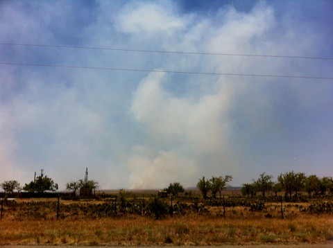
Fire in the Hill Country!
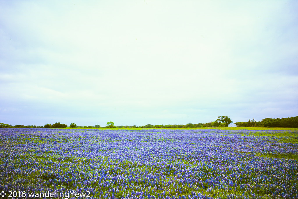
Burnet County Bluebonnets (film -- 6x9)
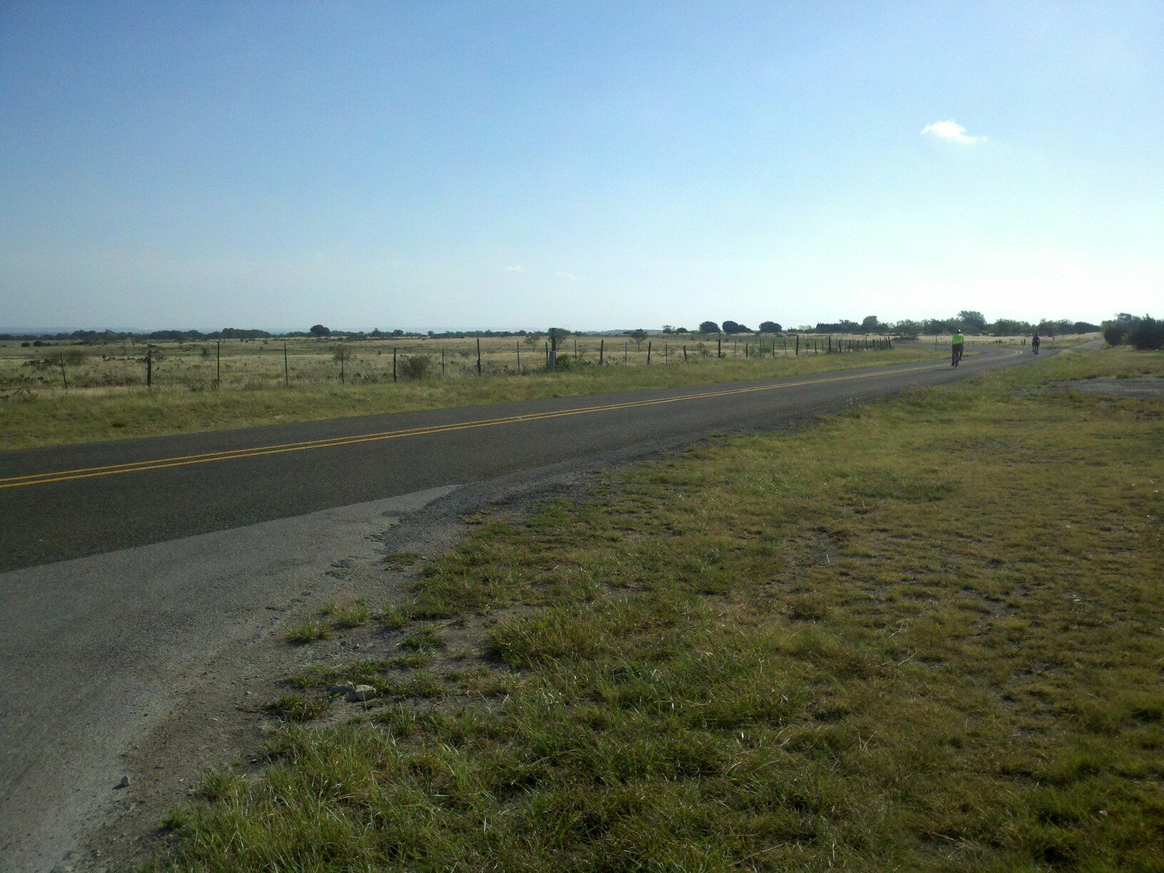
Burnet Joppa Lake Victor_CR210 and FM963_66
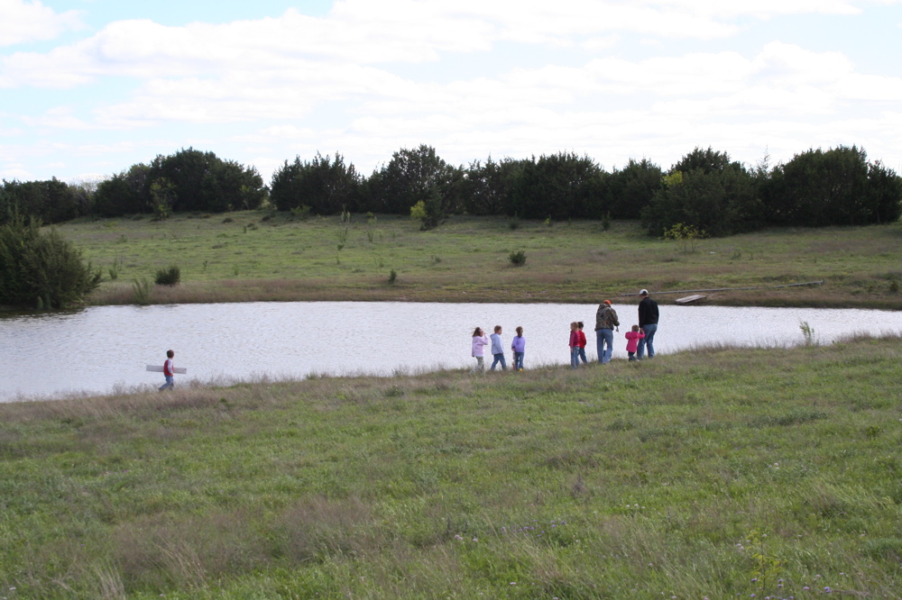
Father and Kids Campout April 2007 - 9

DJI_0079.JPG
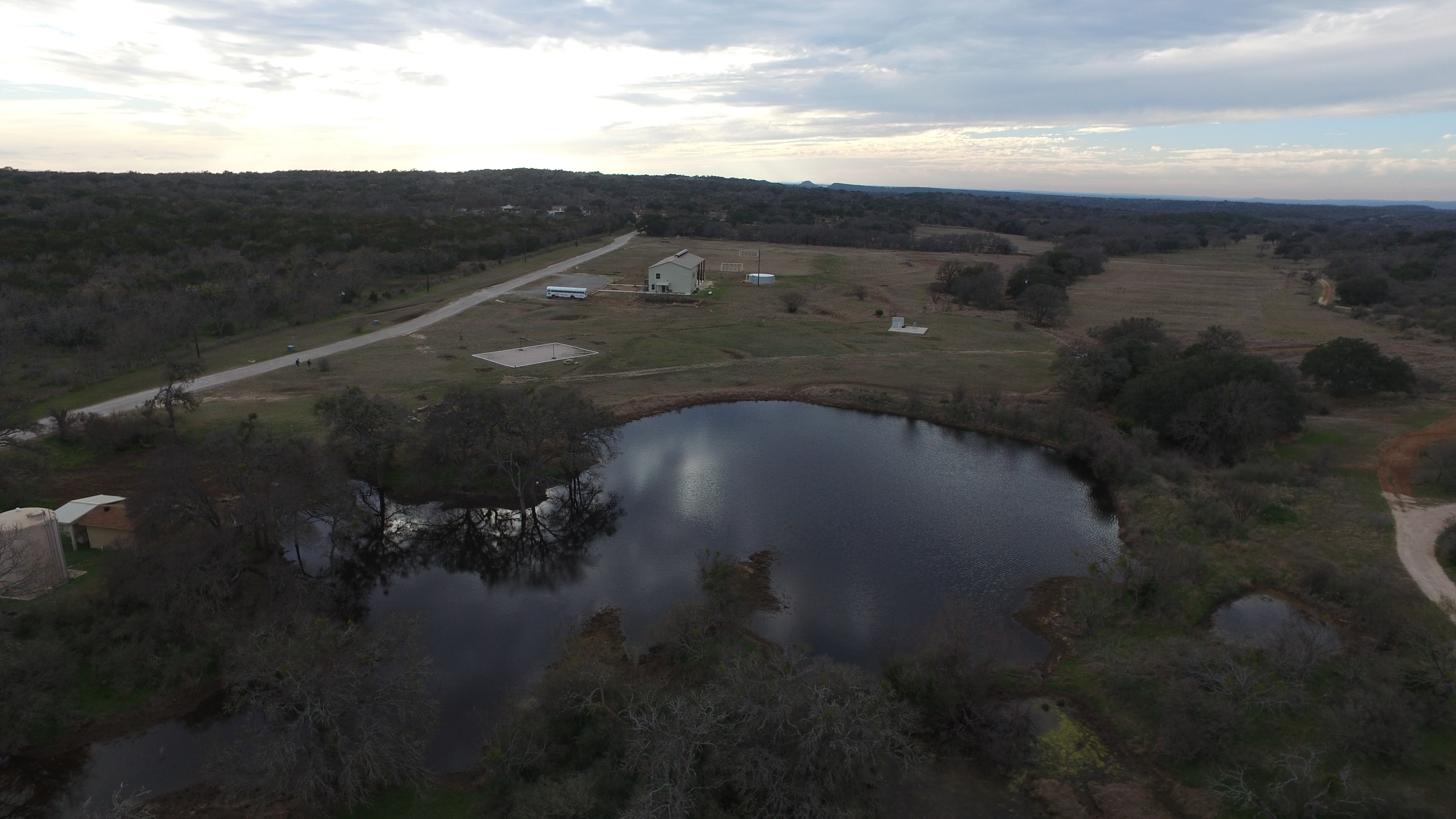
DJI_0080.JPG
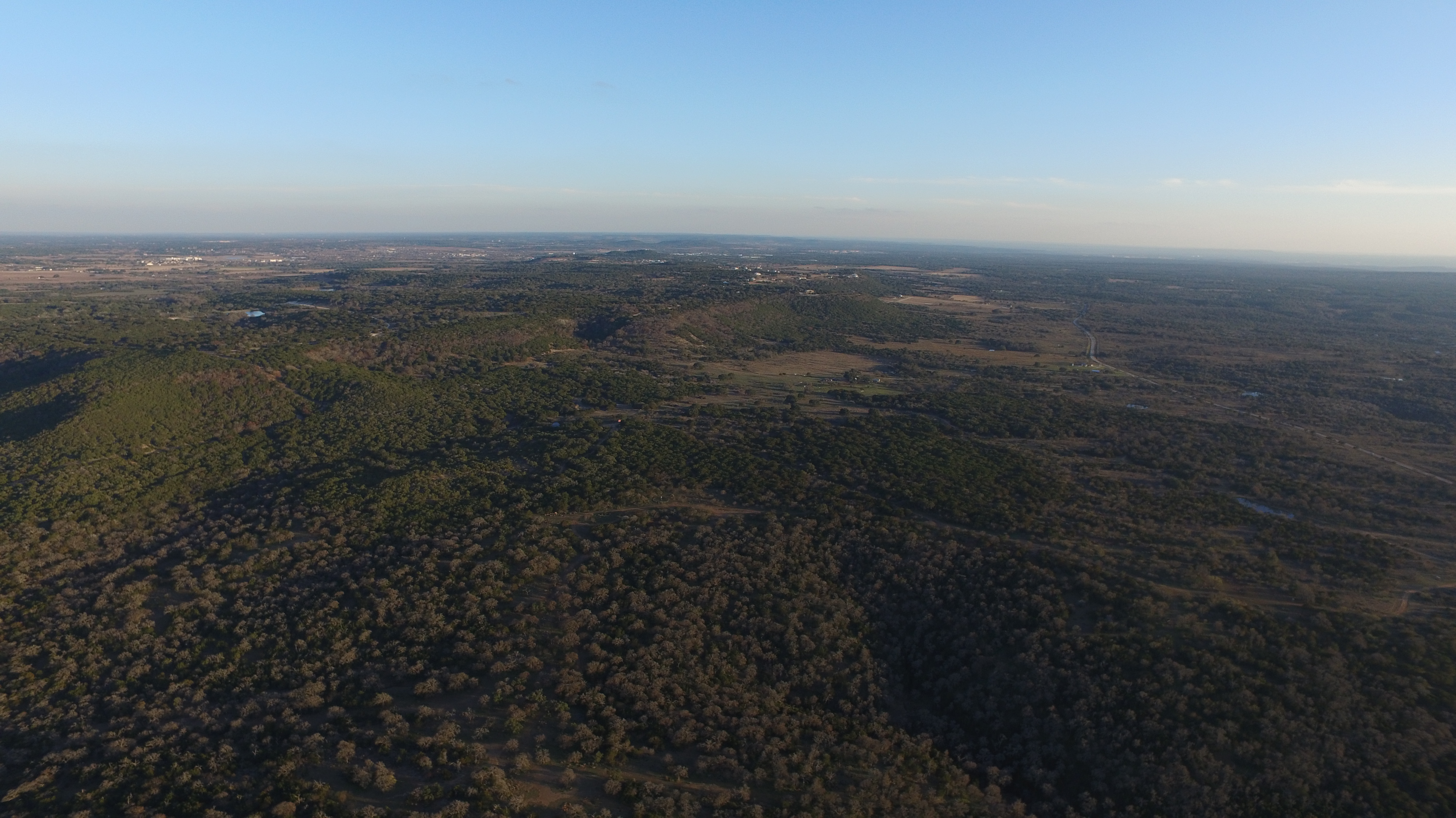
DJI_0120.JPG

DJI_0121.JPG

DJI_0122.JPG
Topographic Map of FM, Burnet, TX, USA
Find elevation by address:

Places near FM, Burnet, TX, USA:
5412 Co Rd 202
Blackbuck Ridge
955 Co Rd 250
Farm to Market, Bertram, TX, USA
Leffingwell Lane
1200 E Polk St
Burnet
220 S Pierce St
411 Eagle Ridge
411 Eagle Ridge
513 Alice Ave
609 Sycamore Rd
651 Cedar Break Ln
Seton Highland Lakes Specialty Clinic
Cedar Break Lane
Burnet County
County Road
Sandy Ln, Burnet, TX, USA
Bertram
531 Co Rd 268
Recent Searches:
- Elevation of Congressional Dr, Stevensville, MD, USA
- Elevation of Bellview Rd, McLean, VA, USA
- Elevation of Stage Island Rd, Chatham, MA, USA
- Elevation of Shibuya Scramble Crossing, 21 Udagawacho, Shibuya City, Tokyo -, Japan
- Elevation of Jadagoniai, Kaunas District Municipality, Lithuania
- Elevation of Pagonija rock, Kranto 7-oji g. 8"N, Kaunas, Lithuania
- Elevation of Co Rd 87, Jamestown, CO, USA
- Elevation of Tenjo, Cundinamarca, Colombia
- Elevation of Côte-des-Neiges, Montreal, QC H4A 3J6, Canada
- Elevation of Bobcat Dr, Helena, MT, USA