Elevation of FM, Florence, TX, USA
Location: United States > Texas > Burnet County >
Longitude: -97.927692
Latitude: 30.8224037
Elevation: 315m / 1033feet
Barometric Pressure: 98KPa
Elevation Map:
Satellite Map:
Related Photos:

Cowboys & Angels

200?
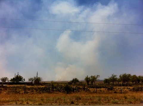
Fire in the Hill Country!
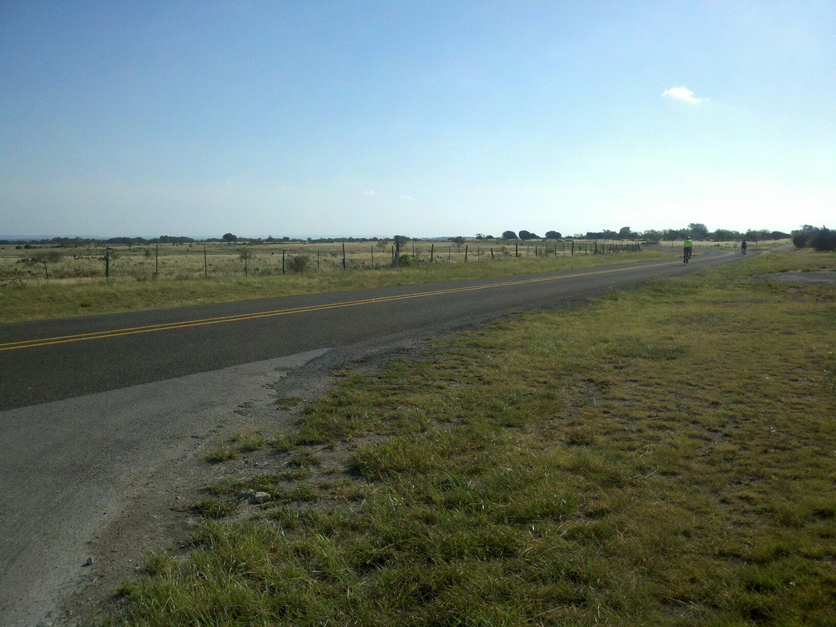
Burnet Joppa Lake Victor_CR210 and FM963_66
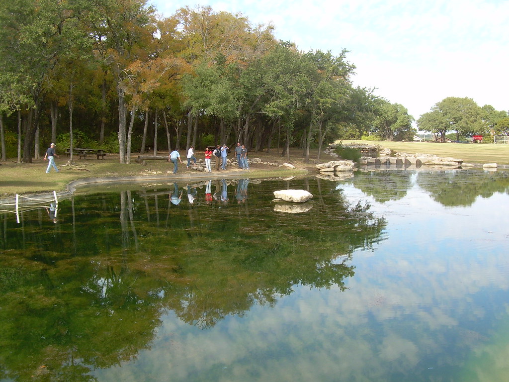
Across the pond
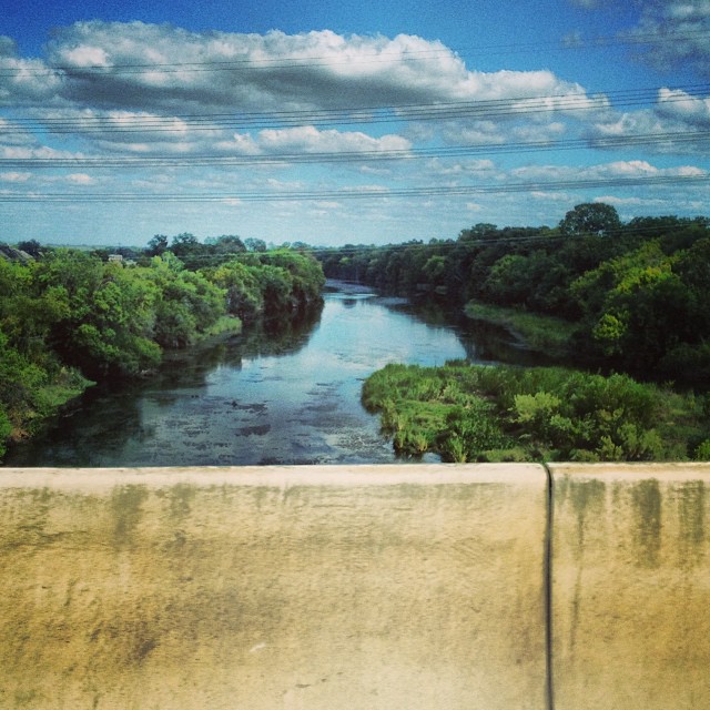
#downstreamfromdowntown #backhand #imdrivinghere #texasrivers #coloradoriver
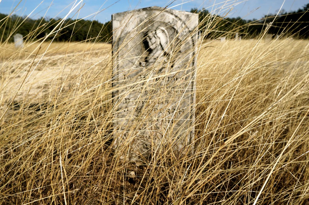
San Gabriel Cemetery

NightSky-11.jpg
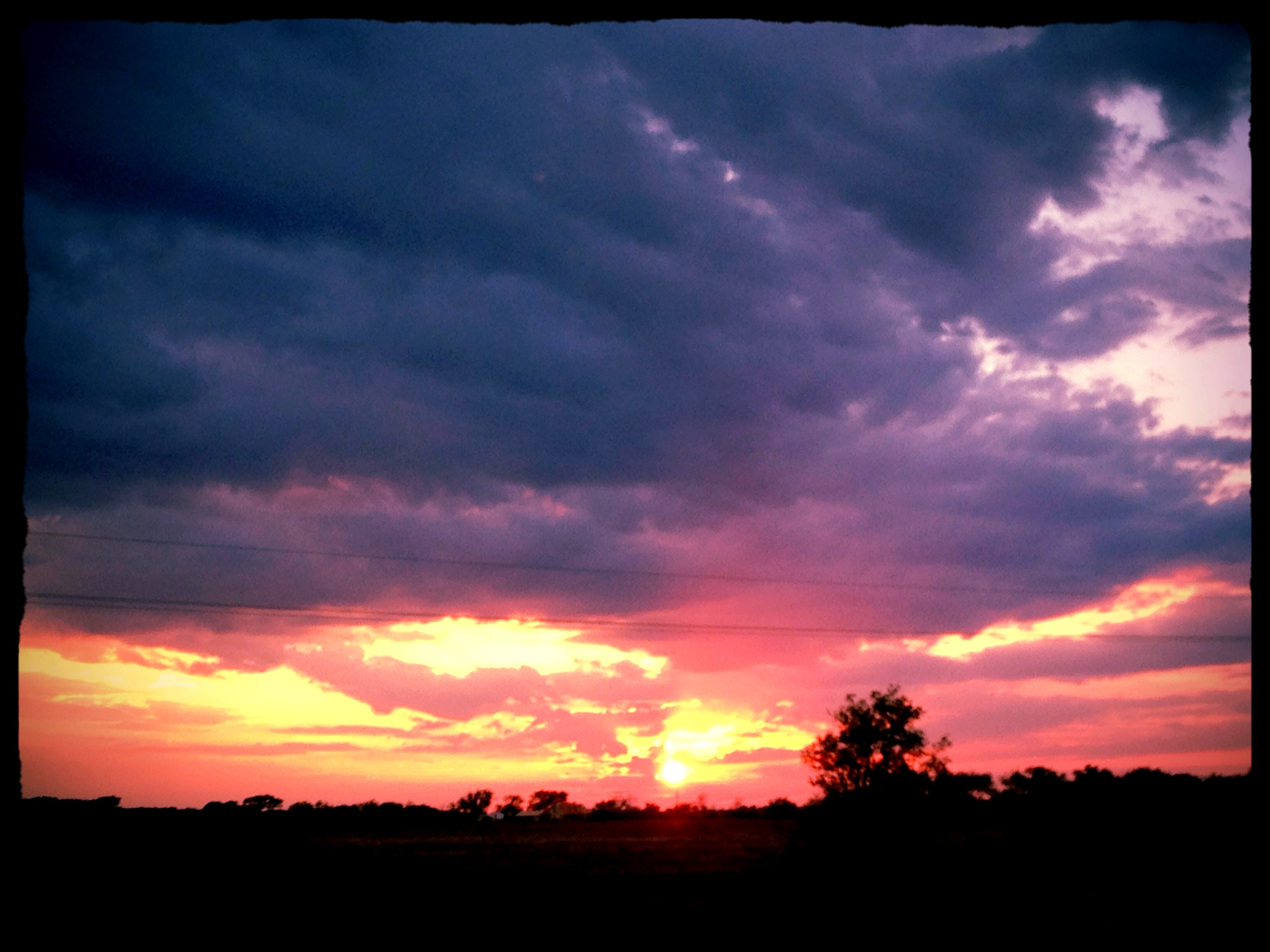
I have a thing for sunsets...here's another one. :)
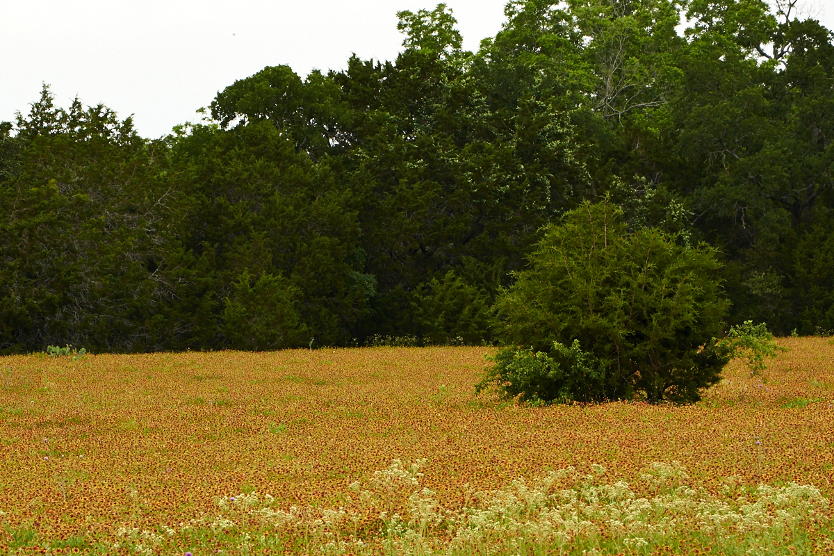
Indian Blanket Blanket

Among the TX bluebonnets
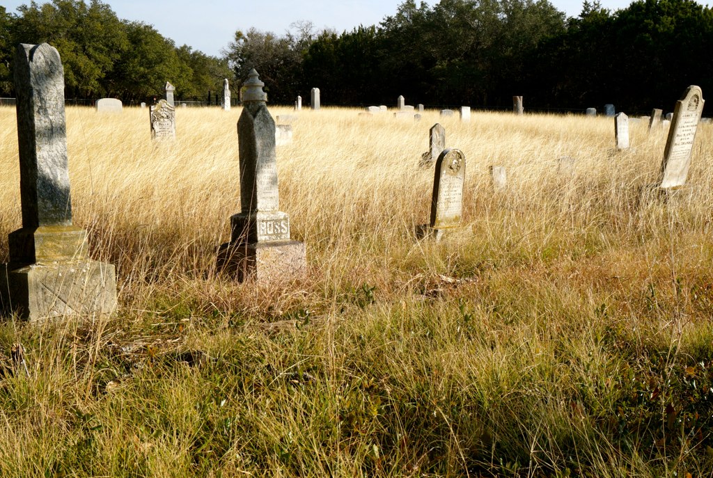
San Gabriel Cemetery
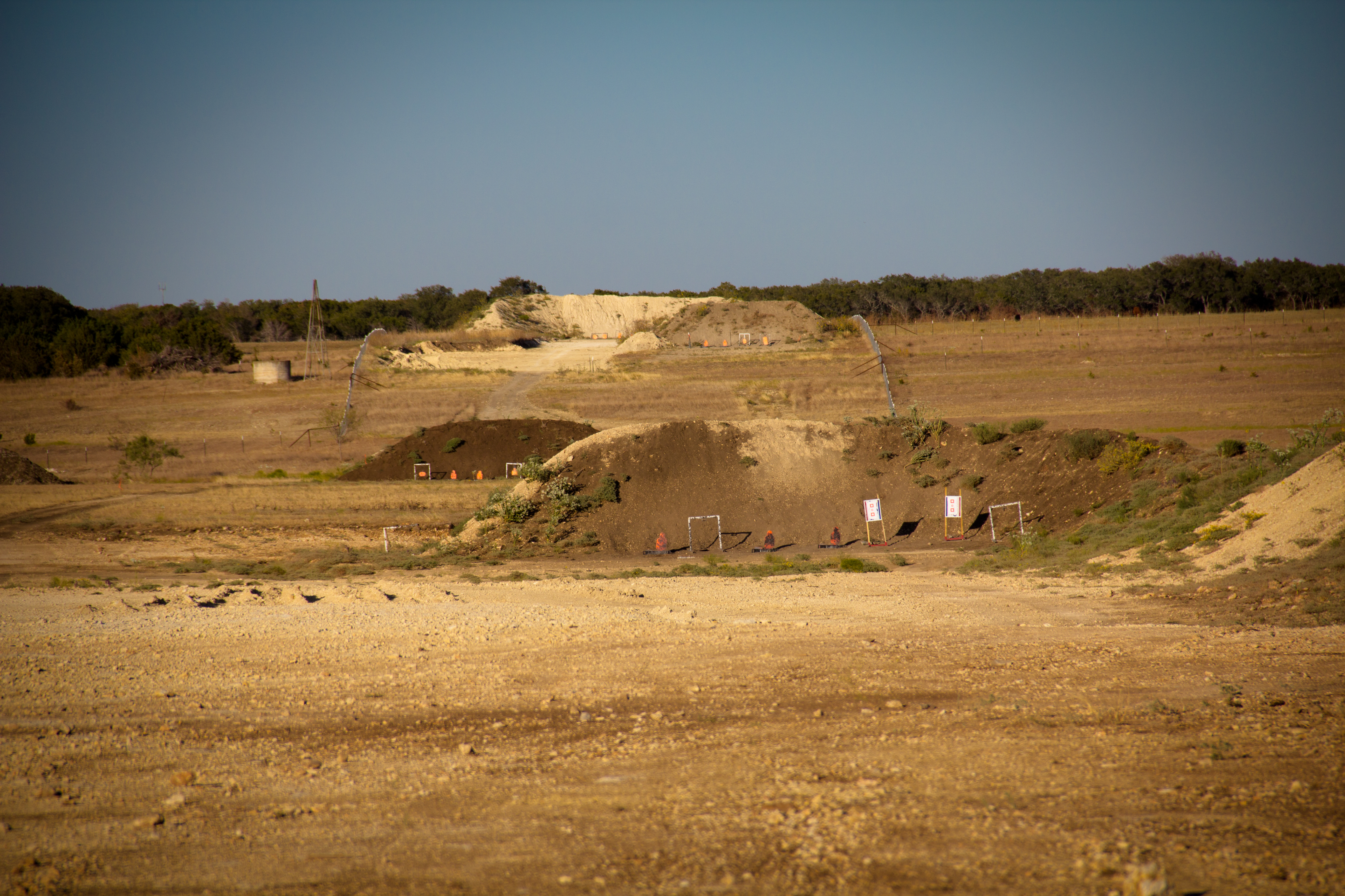
(2011-10-15) Best of the West with Slow Motion!
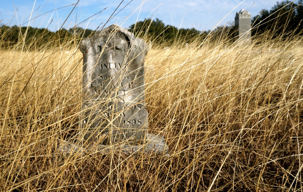
Infant Son
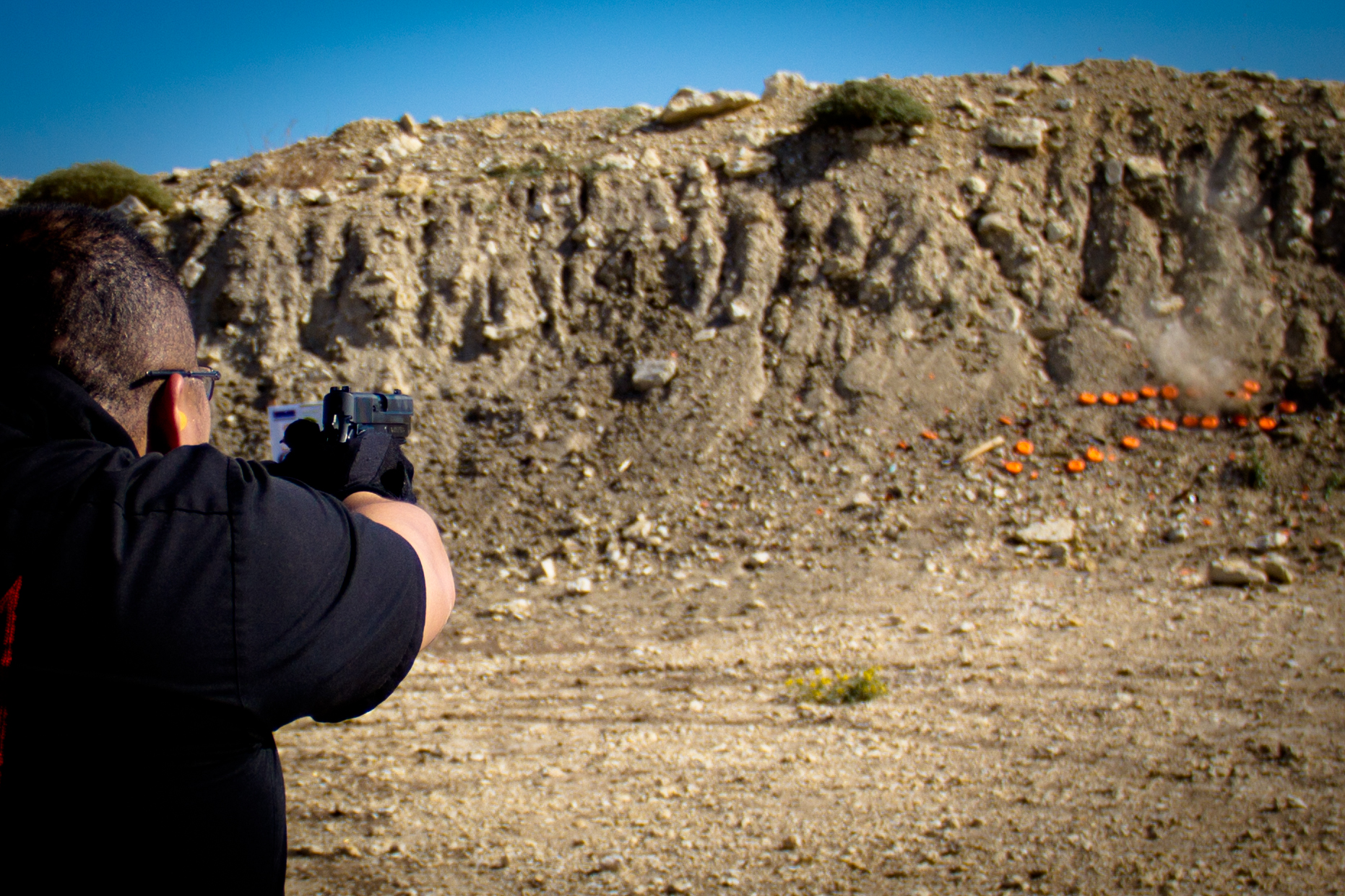
(2011-10-01) Best of the West!
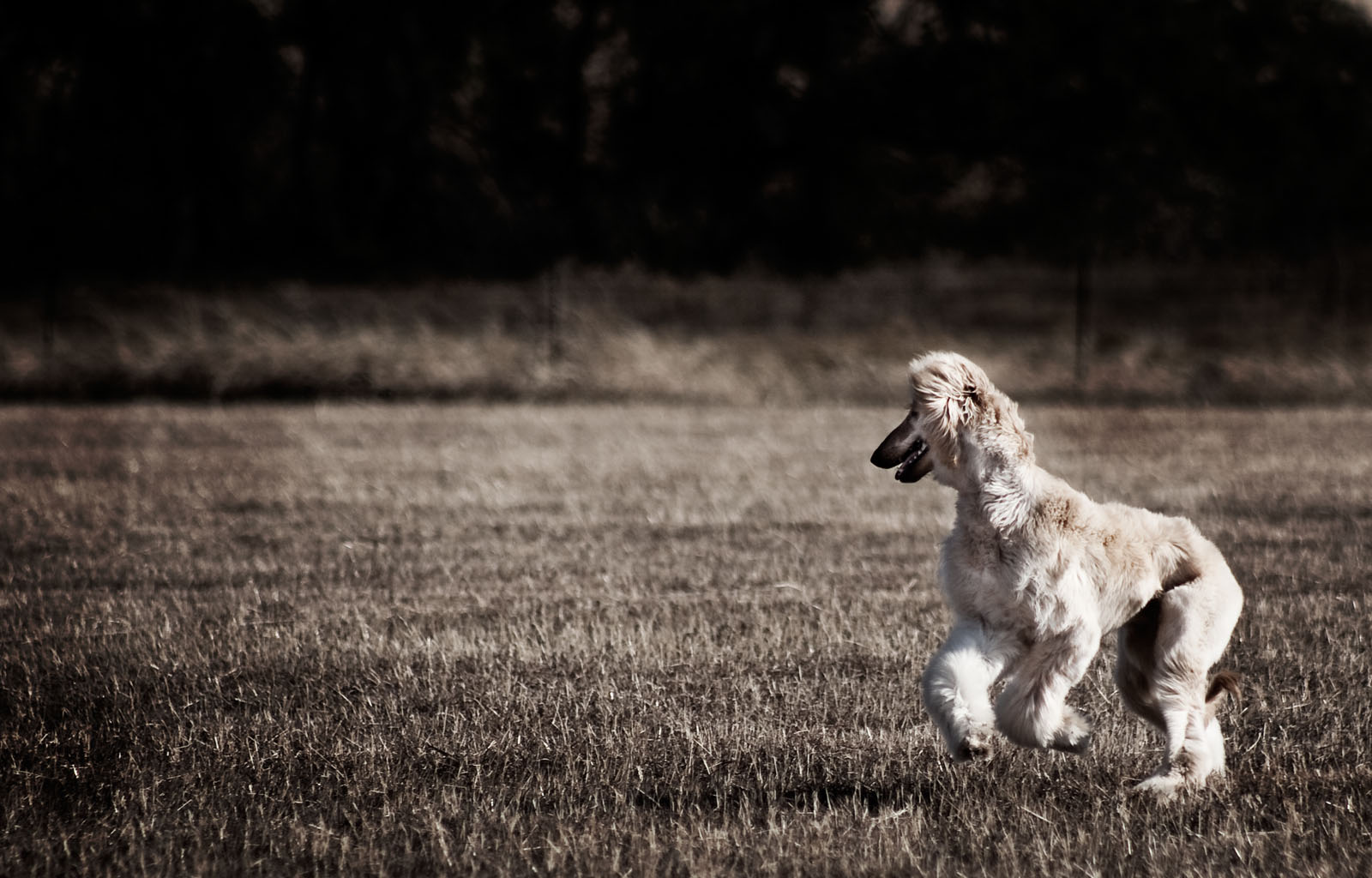
Laika's First Lure Course Run
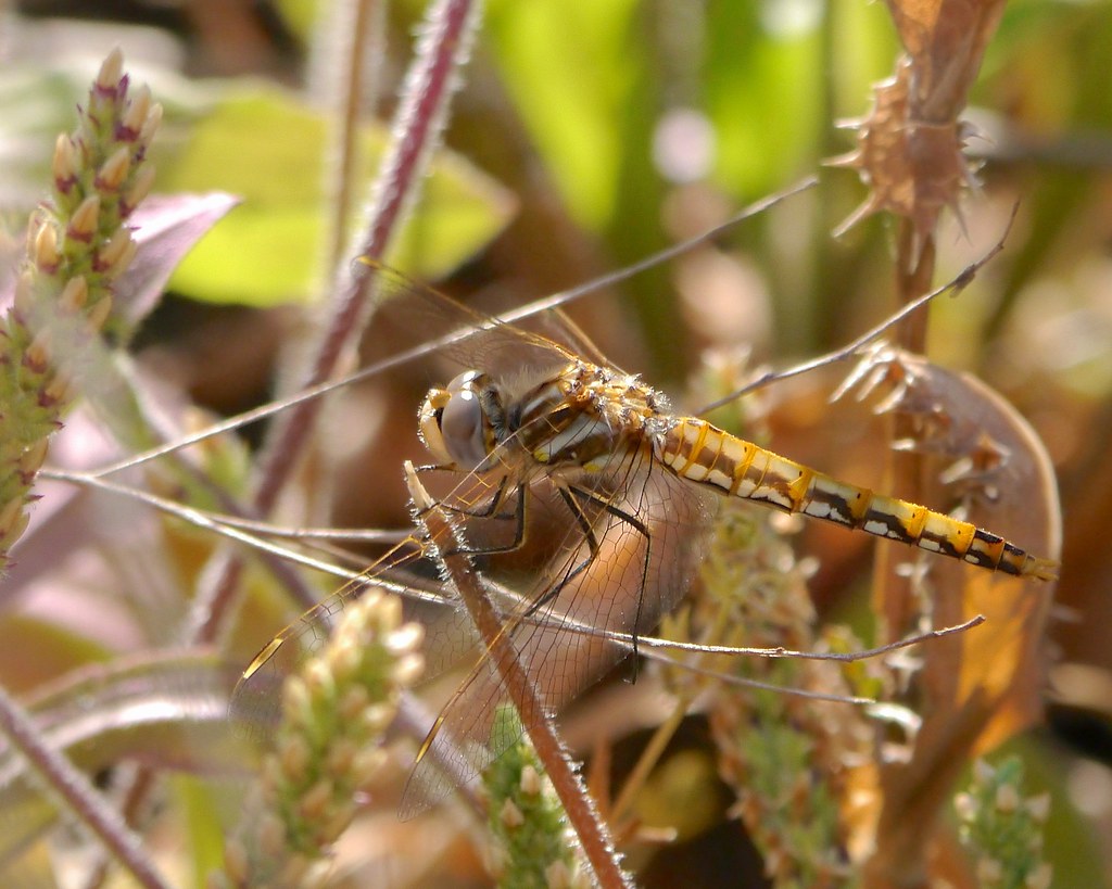
Variegated Meadowhawk
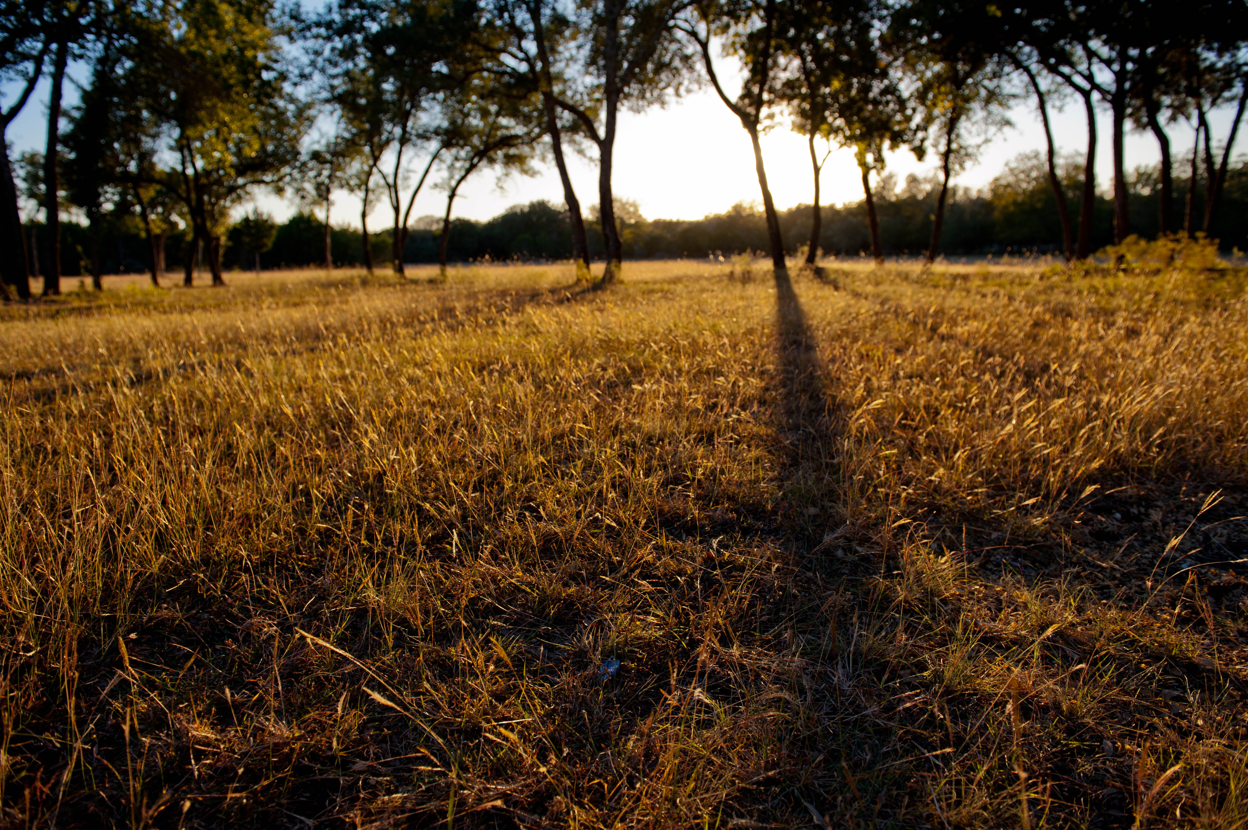
Long Shadows
Fisheye Test

Pilot Knob Sunset

Bertram, Texas

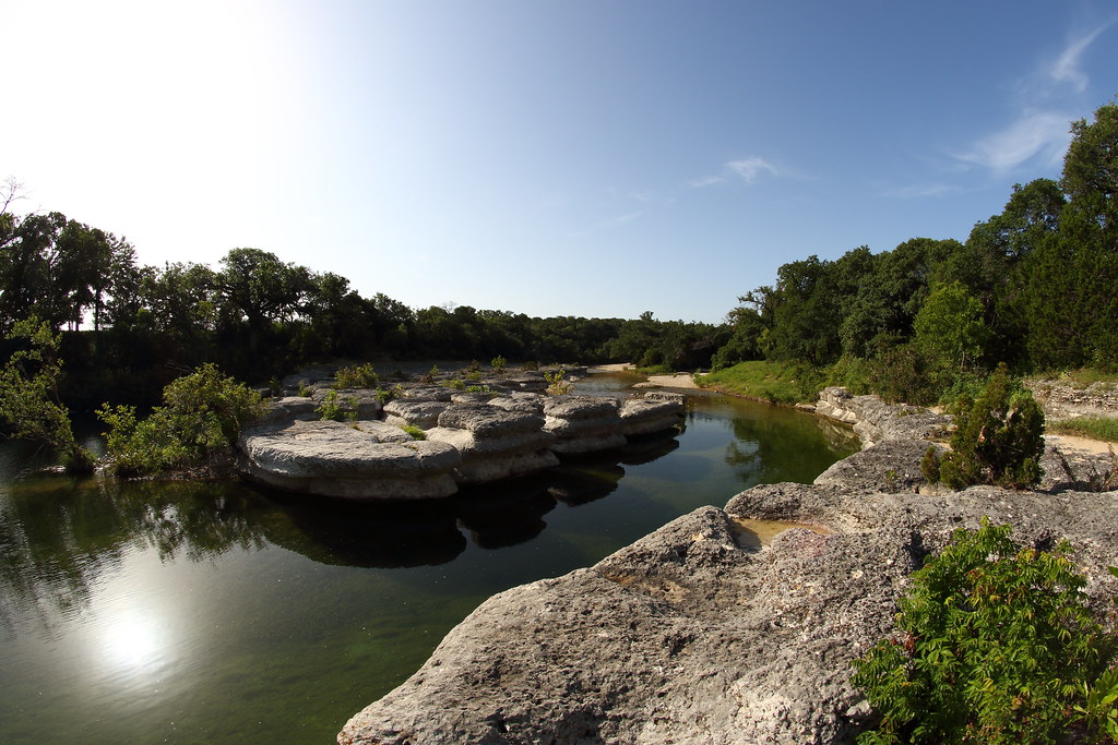
North Rocky Creek
Topographic Map of FM, Florence, TX, USA
Find elevation by address:

Places near FM, Florence, TX, USA:
1890 Co Rd 218
Briggs
125 Sunrise Cir
454 Co Rd 219
915 Co Rd 201
531 Co Rd 268
Florence
E Main St, Florence, TX, USA
Texas 195
Bertram
Farm to Market, Bertram, TX, USA
601 Rolling Block Dr
401 Forest St
Liberty Hill
Loop, Liberty Hill, TX, USA
102 Estrella
County Road
900 San Gabriel Dr
508 Fieldstone Rd
1500 Double File Trce
Recent Searches:
- Elevation of Tenjo, Cundinamarca, Colombia
- Elevation of Côte-des-Neiges, Montreal, QC H4A 3J6, Canada
- Elevation of Bobcat Dr, Helena, MT, USA
- Elevation of Zu den Ihlowbergen, Althüttendorf, Germany
- Elevation of Badaber, Peshawar, Khyber Pakhtunkhwa, Pakistan
- Elevation of SE Heron Loop, Lincoln City, OR, USA
- Elevation of Slanický ostrov, 01 Námestovo, Slovakia
- Elevation of Spaceport America, Co Rd A, Truth or Consequences, NM, USA
- Elevation of Warwick, RI, USA
- Elevation of Fern Rd, Whitmore, CA, USA