Elevation of Everest Rd, Lake Arrowhead, CA, USA
Location: United States > California > San Bernardino County > Lake Arrowhead >
Longitude: -117.21144
Latitude: 34.2521836
Elevation: 1654m / 5426feet
Barometric Pressure: 83KPa
Elevation Map:
Satellite Map:
Related Photos:

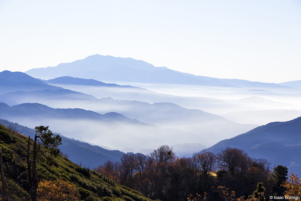
Islands in the Mist

What A Blast!

A Face Only UP Could Love
View From Running Springs

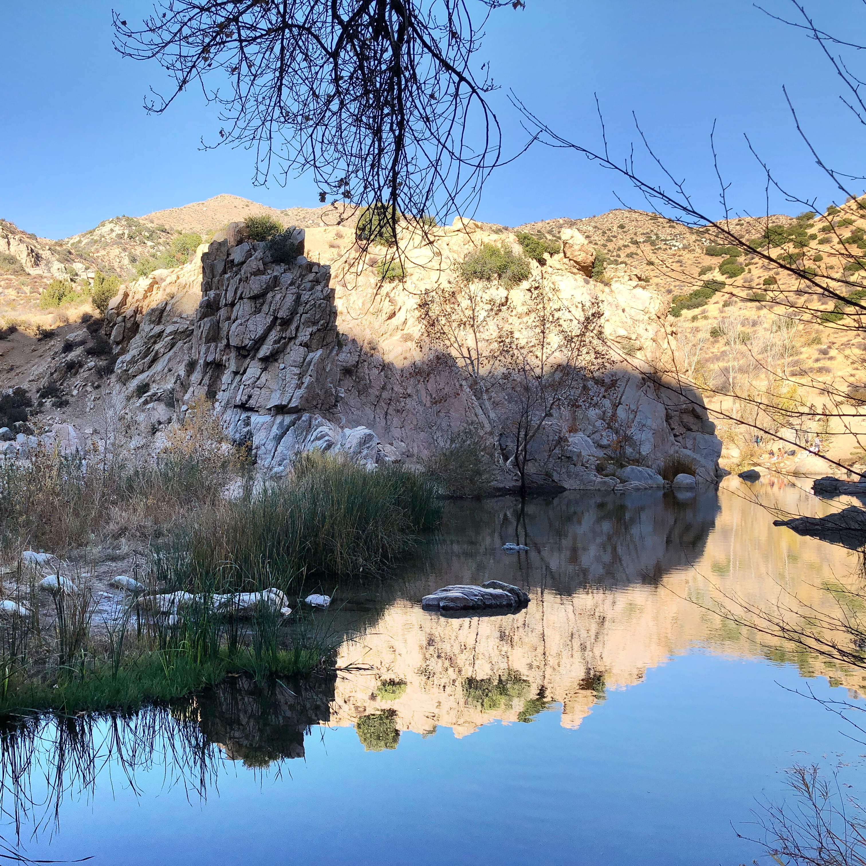
Quiet Beach

Quiet Beach

The White House (of San Bernardino)

Wildwood Park, Recreation & Community Center - San Bernardino

San Bernardino City Unified School District

McDonald's - Blue Jay, California U.S.A. - Dining Room Entrance [1/2]

McDonald's - Blue Jay, California U.S.A. - Front Lawn

A Mixture of Fog and Clouds

View from a chairlift
Keller Peak Road and View, SBNF

Mountain Serenity
After the Storm, Ord Mountains [Explored]

Above the Clouds

Bowen Ranch Campsite

Mountain-Woman

A Beautiful View With A Beautiful Girl

Sunset, Bowen Ranch
Beauty from Ashes

Lake Gregory Reflections

110-365 Fishing Reconnaissance

Silverwood Lake

Santa Ana River Canyon, SBNF

Lake Arrowhead Village, CA 7-15-17

Read the link. BNSF Train under the Old Fire smoke

2074 Vista

San Bernardino Mountains

South from Marie Louise
On the Rim of the World

Lake Arrowhead

Top of the World Highway, California

Fading Storm, San Bernardino Mountains [Explored]

Deserted highway

San Bernardino National Forest, California
Morning Creek

Sunset over Lake Arrowhead
Topographic Map of Everest Rd, Lake Arrowhead, CA, USA
Find elevation by address:

Places near Everest Rd, Lake Arrowhead, CA, USA:
177 Grizzly Rd
177 Grizzly Rd
177 Grizzly Rd
Huron Road
26900 Everest Rd
26880 Huron Rd
Blue Jay
250 Golf Course Rd
CA-, Rimforest, CA, USA
383 Golf Course Rd
532 Rainier Rd
532 Pioneer Rd
180 Brentwood Dr
272 Fairway Dr
26619 Thunderbird Dr
27378 Bernina Dr
366 Annandale Dr
Herrick Kevin Md
27523 N Bay Rd
26540 Placer Ln
Recent Searches:
- Elevation of Congressional Dr, Stevensville, MD, USA
- Elevation of Bellview Rd, McLean, VA, USA
- Elevation of Stage Island Rd, Chatham, MA, USA
- Elevation of Shibuya Scramble Crossing, 21 Udagawacho, Shibuya City, Tokyo -, Japan
- Elevation of Jadagoniai, Kaunas District Municipality, Lithuania
- Elevation of Pagonija rock, Kranto 7-oji g. 8"N, Kaunas, Lithuania
- Elevation of Co Rd 87, Jamestown, CO, USA
- Elevation of Tenjo, Cundinamarca, Colombia
- Elevation of Côte-des-Neiges, Montreal, QC H4A 3J6, Canada
- Elevation of Bobcat Dr, Helena, MT, USA