Elevation of Blue Jay, CA, USA
Location: United States > California > San Bernardino County >
Longitude: -117.20764
Latitude: 34.2474498
Elevation: 1571m / 5154feet
Barometric Pressure: 84KPa
Elevation Map:
Satellite Map:
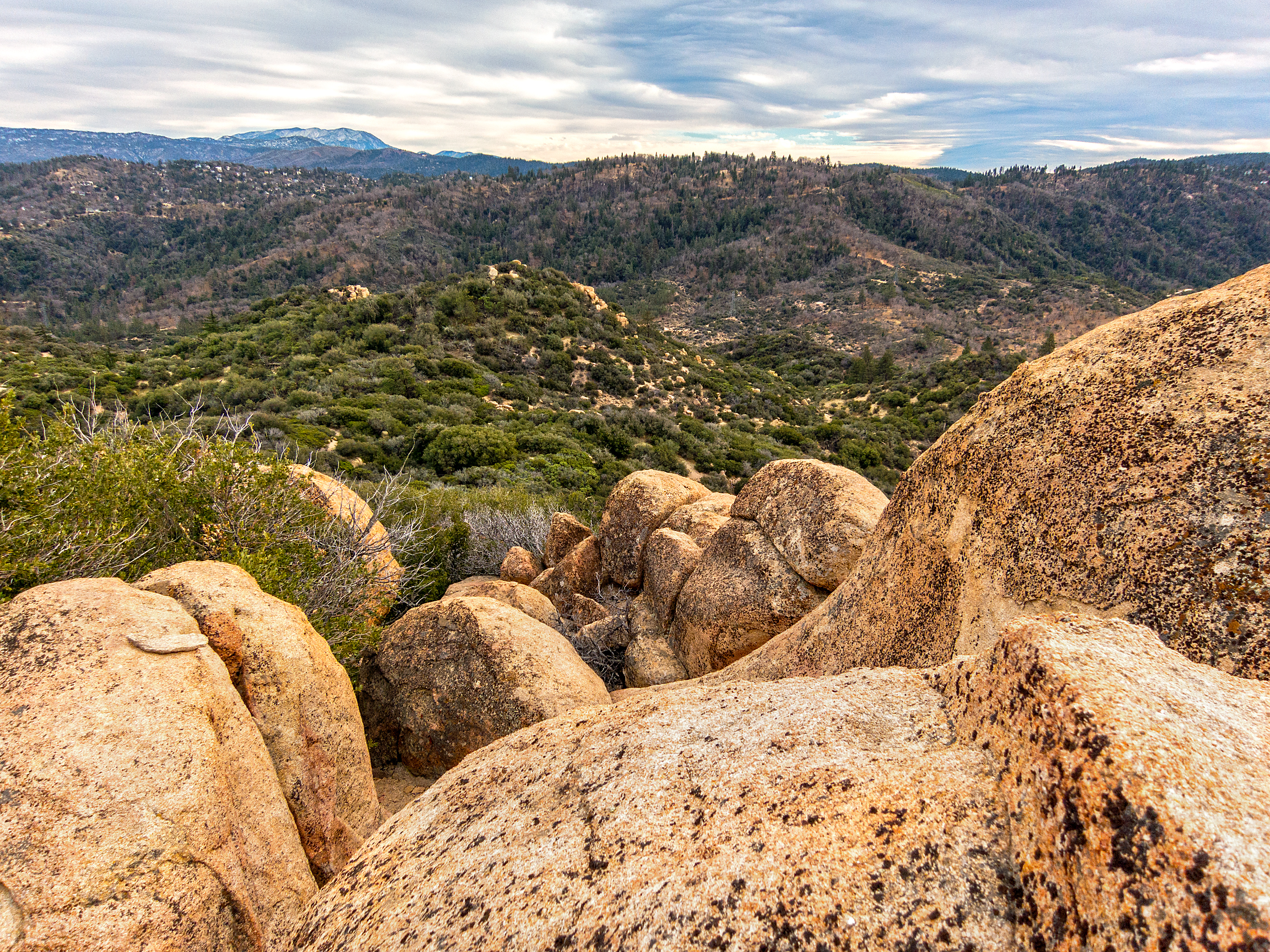
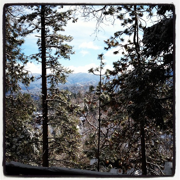
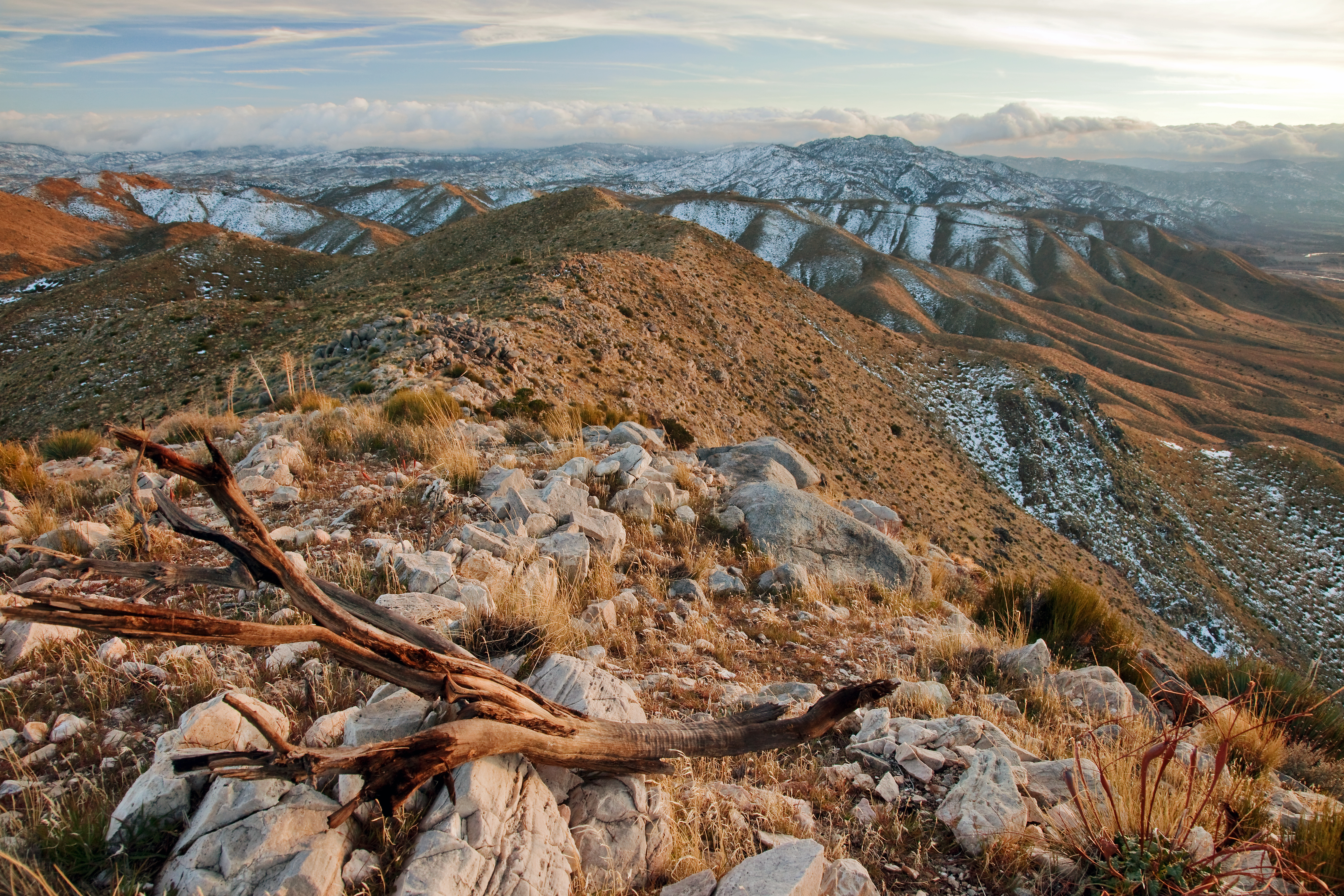
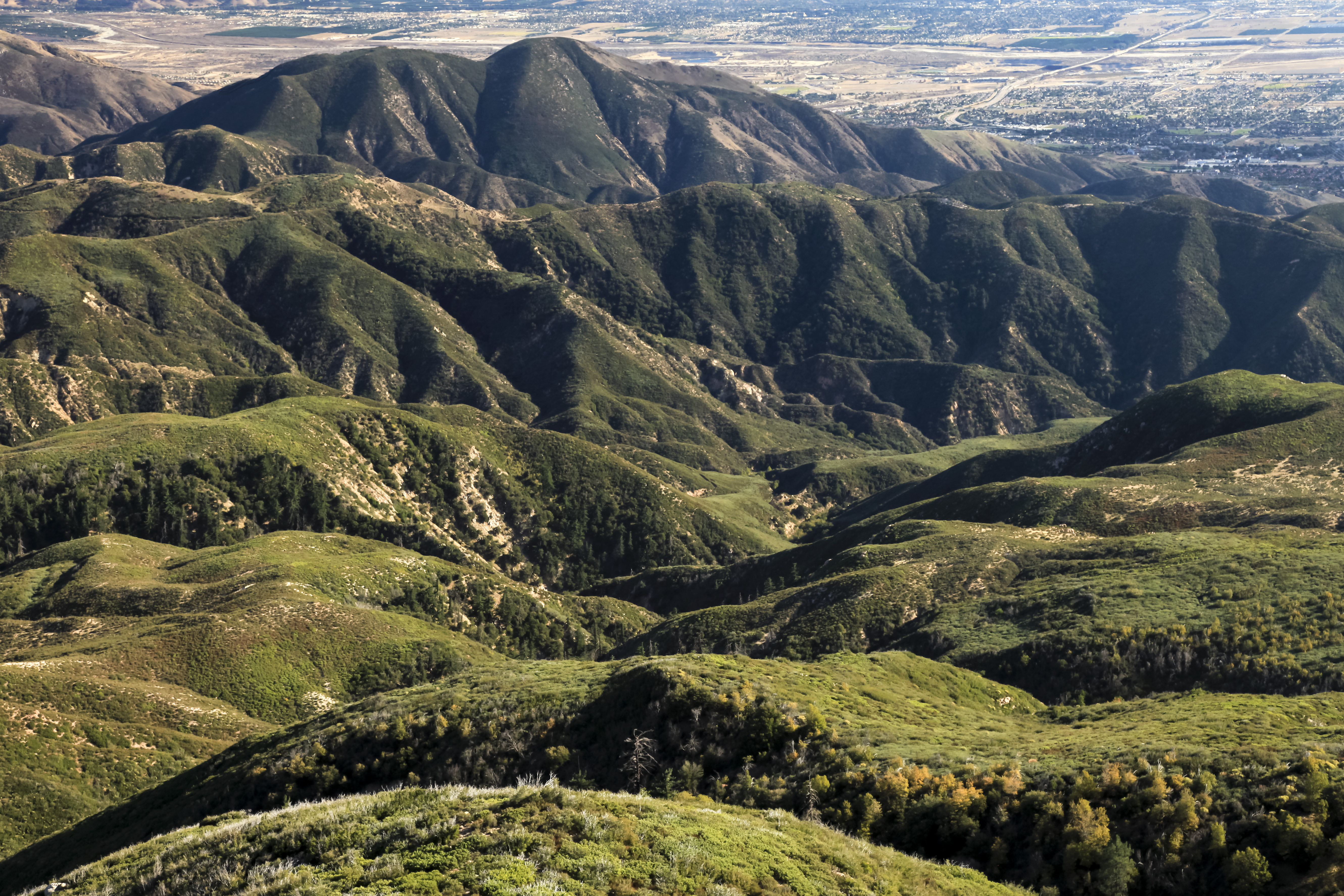
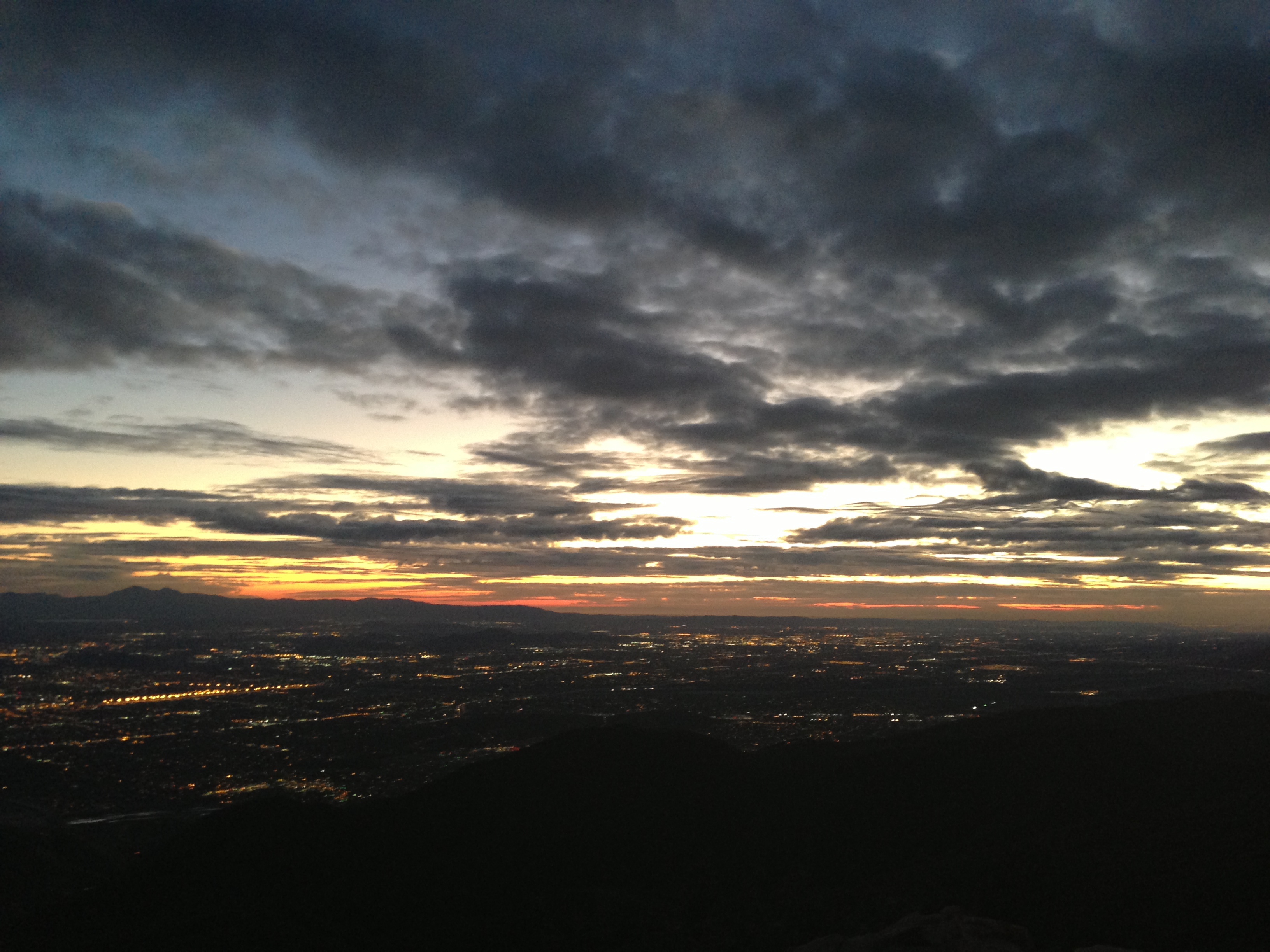
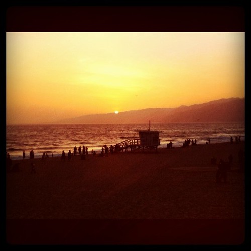
Related Photos:

A Face Only UP Could Love

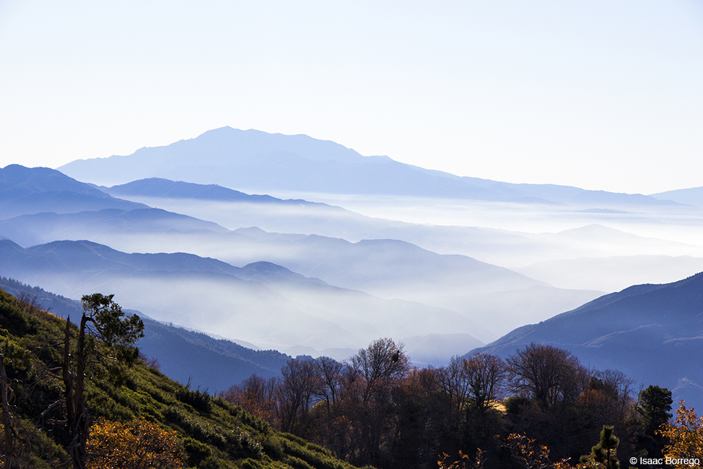
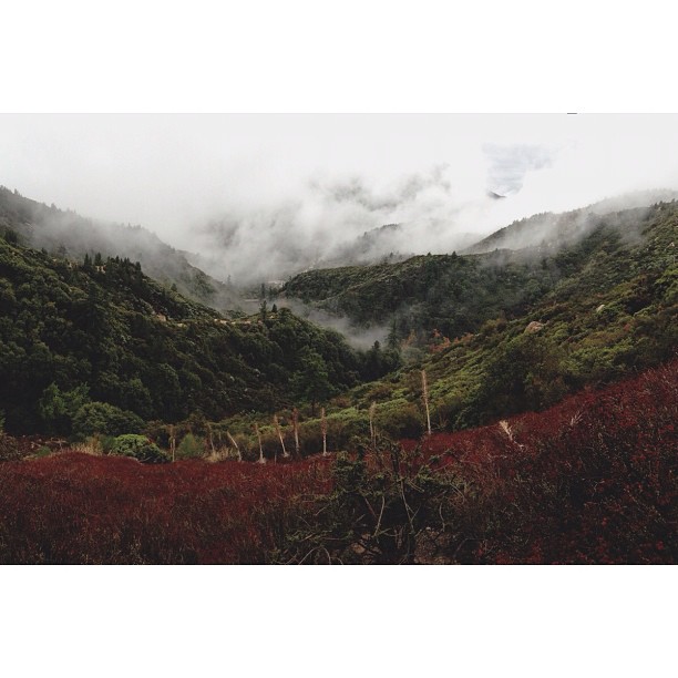
A Mixture of Fog and Clouds
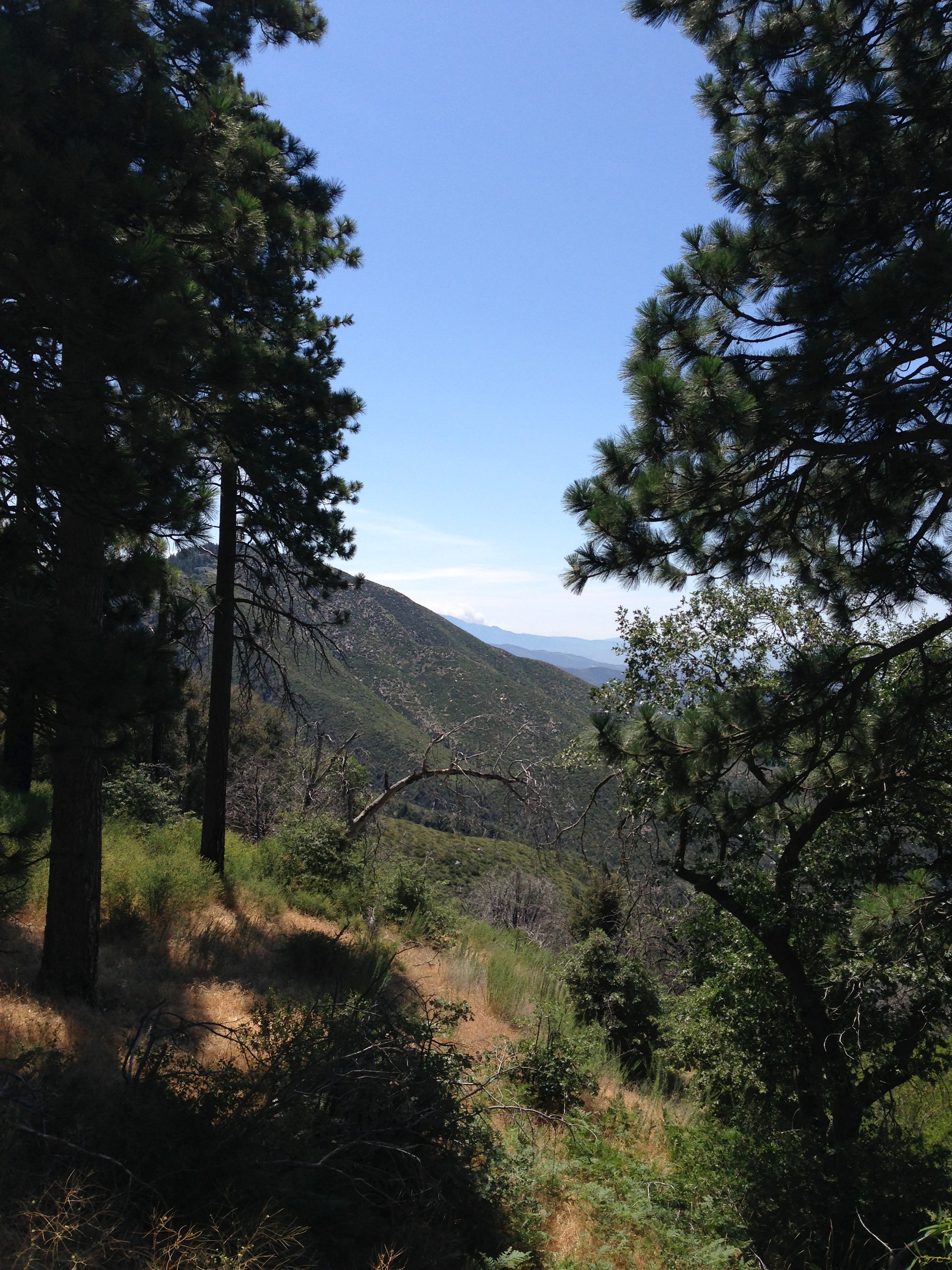
South from Marie Louise

El Cajon Motel

Above the Clouds

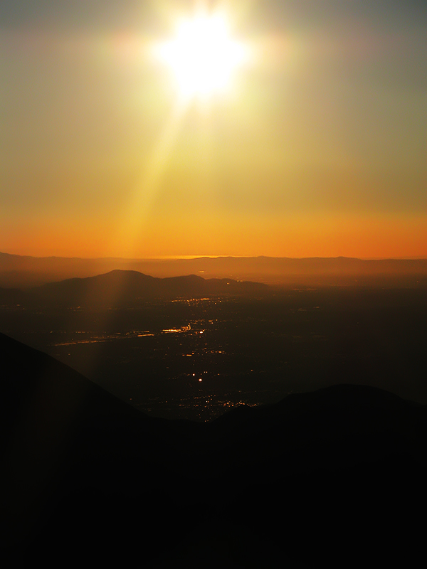
Thanksgiving Sunset HDR

prcssd. combat camera. san bernardino, ca. 2011.

View from a chairlift

After the Storm, Ord Mountains [Explored]

air combat camera service. san bernardino, ca. 2011.
Morning #view #snow
View South from Point 4948
Green Topographic
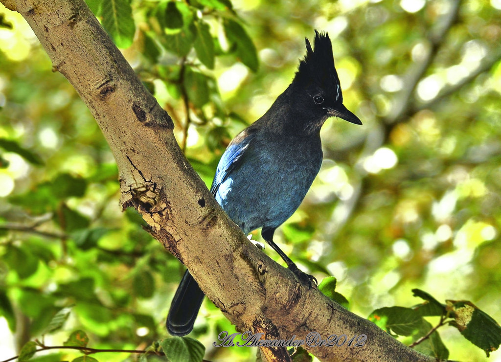
AXA_3660Style creek San Bernardino ca(Steller Jay)
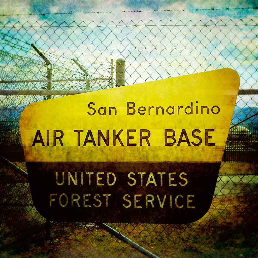
prcssd. air tanker base. san bernardino, ca. 2011.
View from the ladder
The Distant Pacific

Islands in the Mist
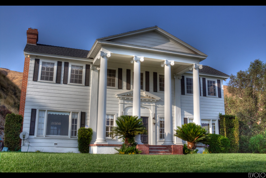
The White House (of San Bernardino)
Cal-3 024
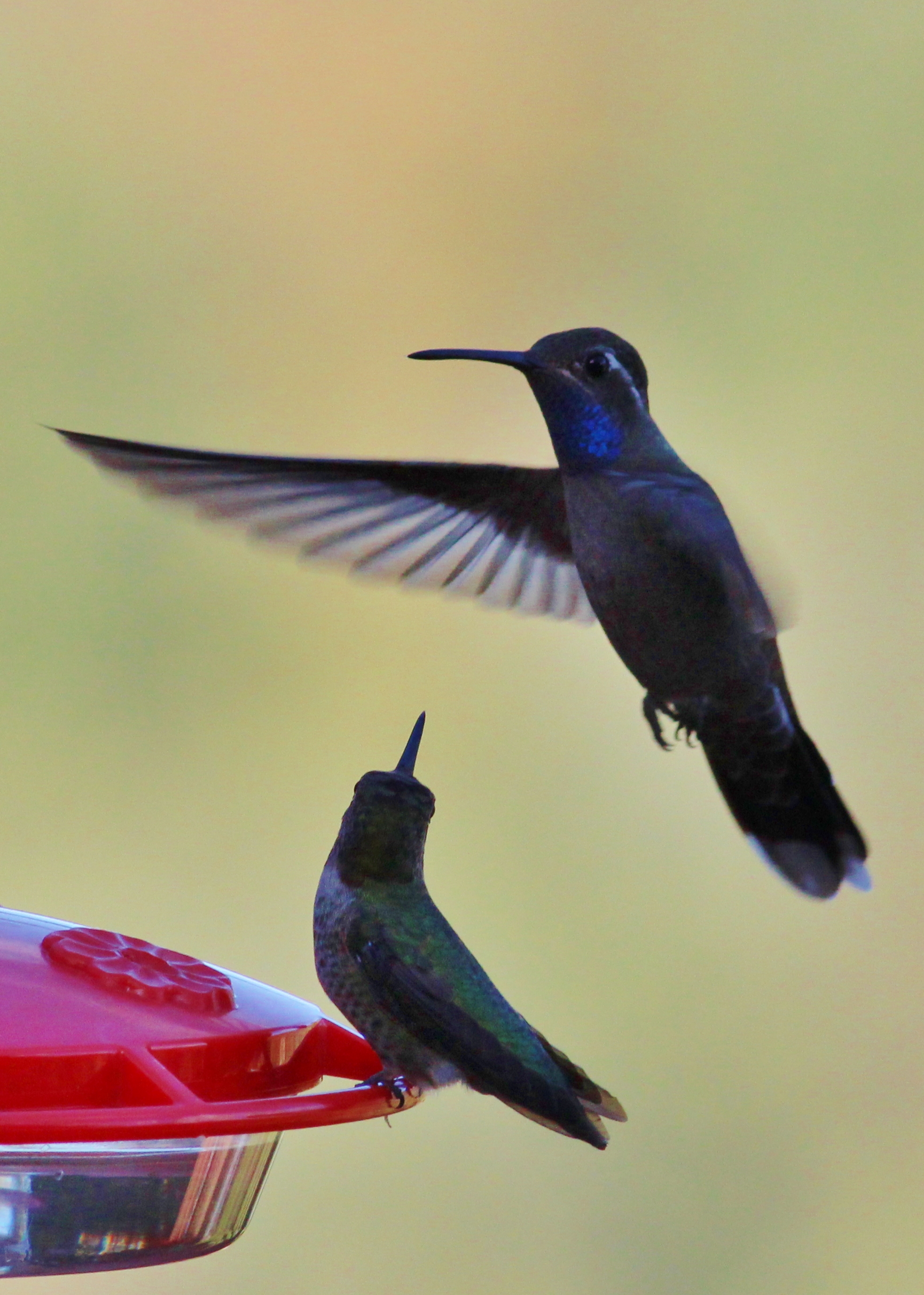
Blue-throated Hummingbird
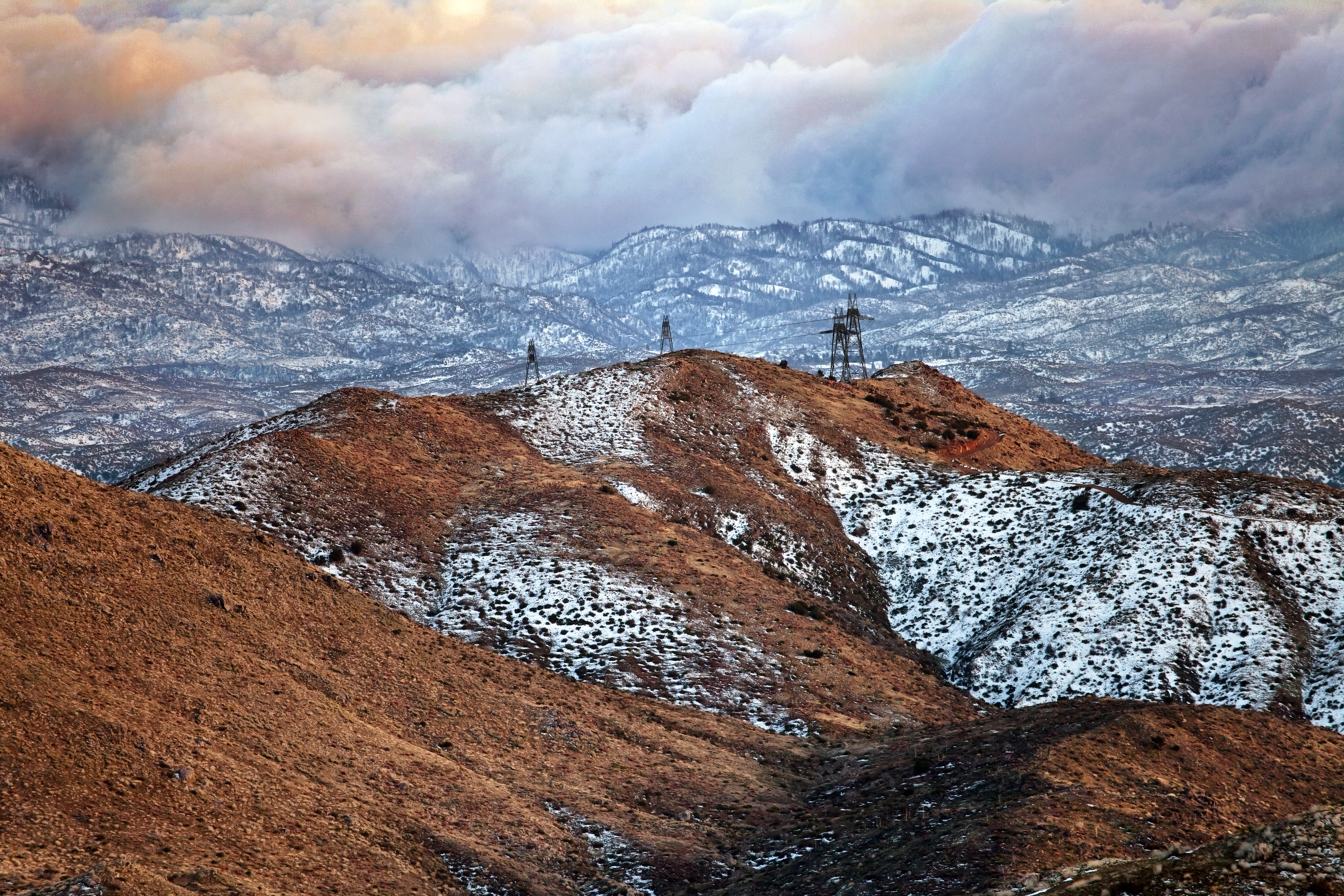
Fading Storm, San Bernardino Mountains [Explored]

#GreenValleyLake

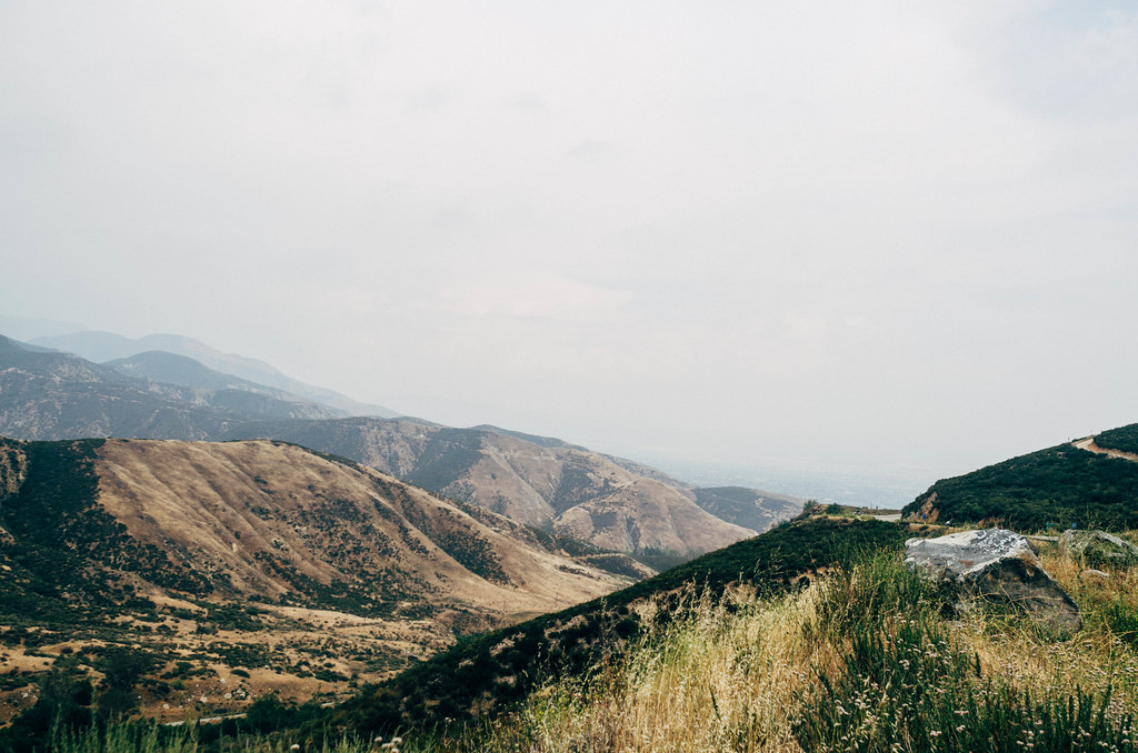
San Bernardino city and National Forest
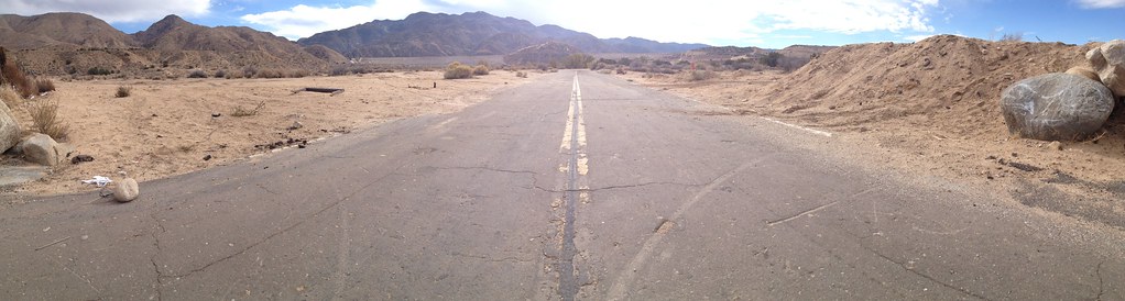
Deserted highway

Above it all

110-365 Fishing Reconnaissance
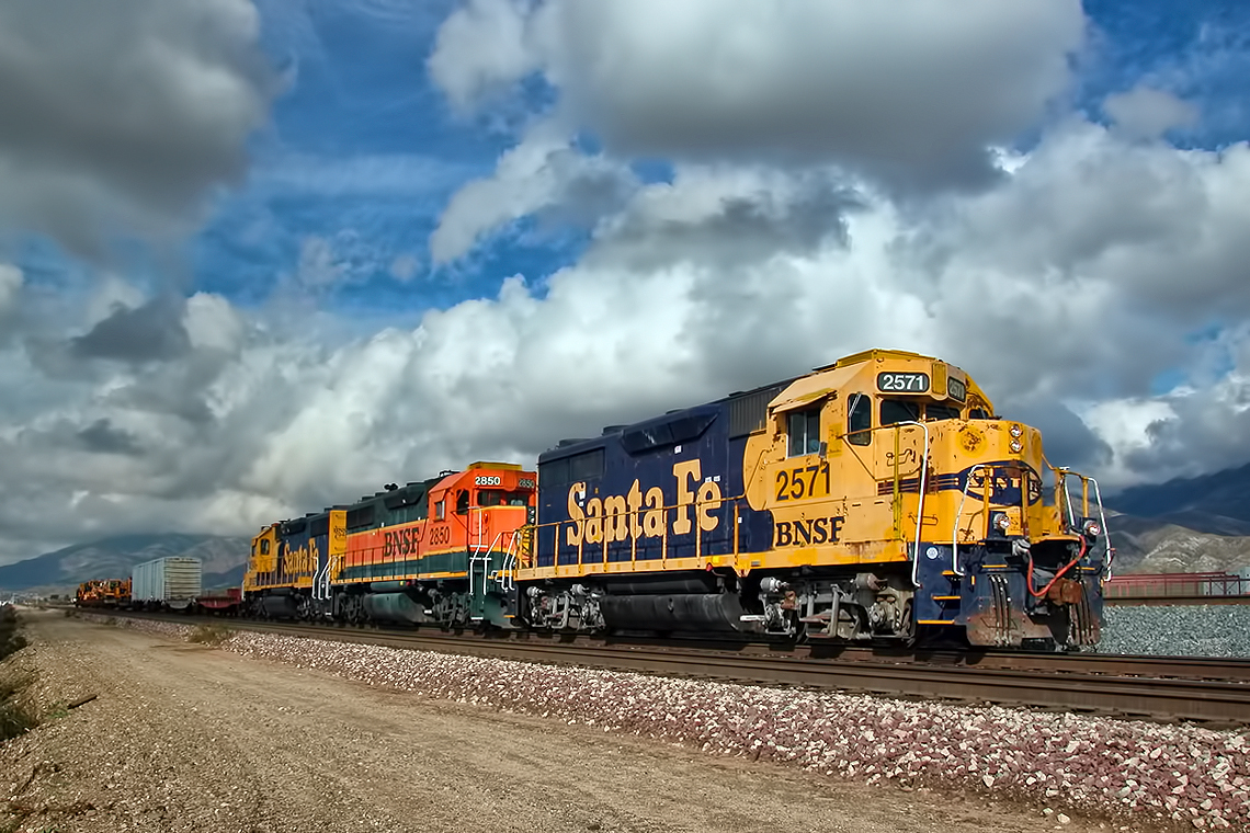
2004 Westbound MoW train in Verdemont, from my collection.

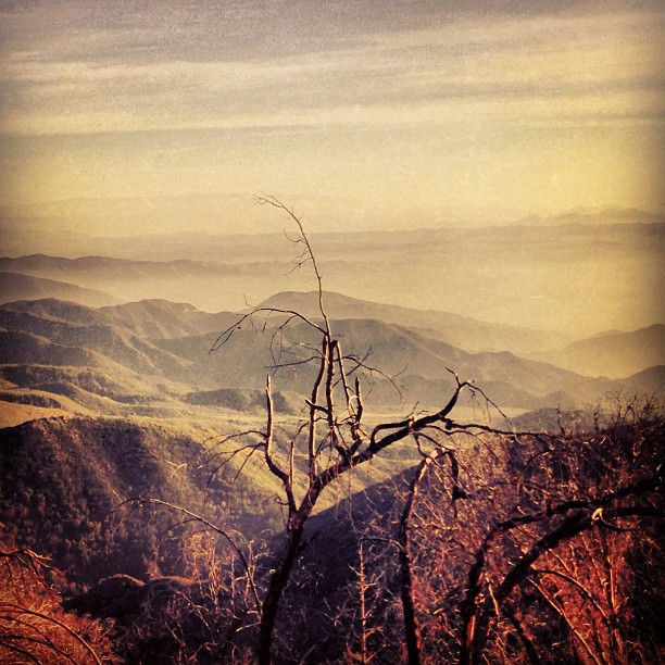
Dead But Still Living
On the Rim of the World
2074 Vista
San Bernardino National Forest, California
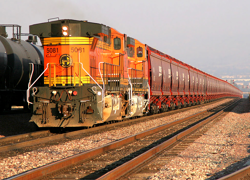
New Hoppers Going Away
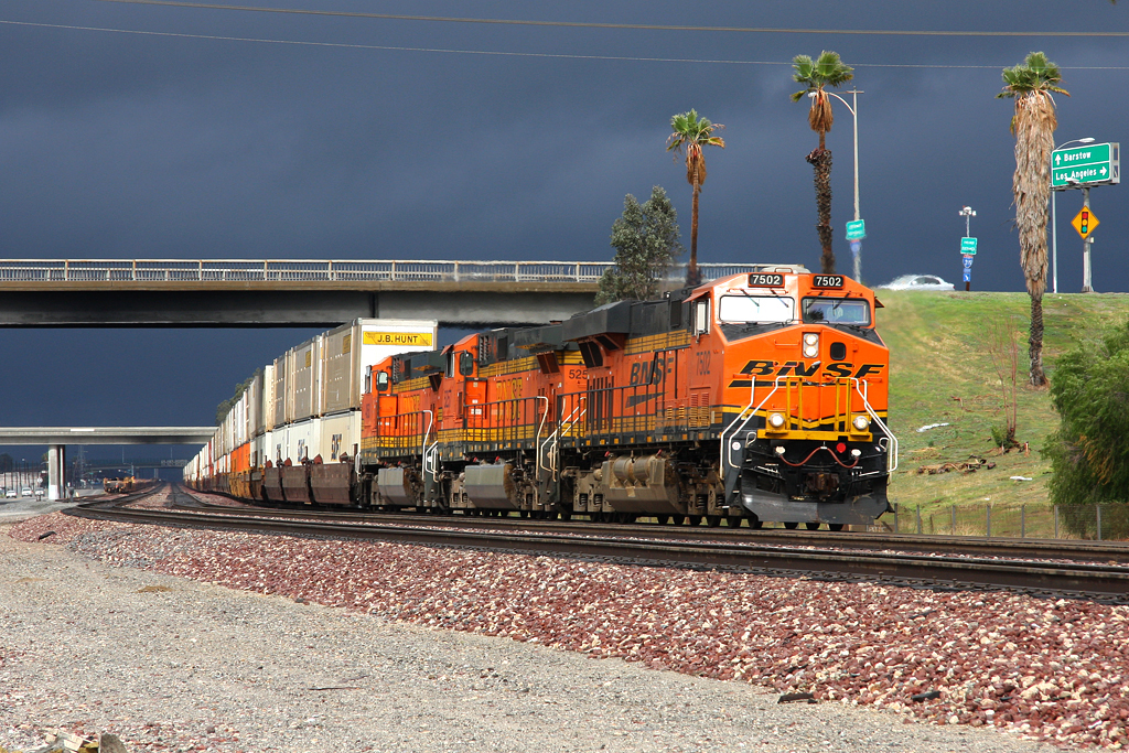
Westbound Intermodal out of the Storm
"Just #go." #saturday #goodmorning #runningsprings

Snow at Lake Silverwood

#sanbernardinomountains #mountains #runningsprings #hwy18

Blue lake. #LakeArrowhead
dark city
Sundown with sundowners
Topographic Map of Blue Jay, CA, USA
Find elevation by address:

Places in Blue Jay, CA, USA:
Places near Blue Jay, CA, USA:
CA-, Rimforest, CA, USA
177 Grizzly Rd
177 Grizzly Rd
177 Grizzly Rd
27121 Everest Rd
26900 Everest Rd
Huron Road
26880 Huron Rd
Herrick Kevin Md
250 Golf Course Rd
383 Golf Course Rd
532 Rainier Rd
532 Pioneer Rd
272 Fairway Dr
26619 Thunderbird Dr
180 Brentwood Dr
27378 Bernina Dr
27523 N Bay Rd
366 Annandale Dr
664 Maxson Dr
Recent Searches:
- Elevation of 30 Oak Lawn Dr, Barkhamsted, CT, USA
- Elevation of Luther Road, Luther Rd, Auburn, CA, USA
- Elevation of Unnamed Road, Respublika Severnaya Osetiya — Alaniya, Russia
- Elevation of Verkhny Fiagdon, North Ossetia–Alania Republic, Russia
- Elevation of F. Viola Hiway, San Rafael, Bulacan, Philippines
- Elevation of Herbage Dr, Gulfport, MS, USA
- Elevation of Lilac Cir, Haldimand, ON N3W 2G9, Canada
- Elevation of Harrod Branch Road, Harrod Branch Rd, Kentucky, USA
- Elevation of Wyndham Grand Barbados Sam Lords Castle All Inclusive Resort, End of Belair Road, Long Bay, Bridgetown Barbados
- Elevation of Iga Trl, Maggie Valley, NC, USA