Elevation of Ermelo, South Africa
Location: South Africa > Mpumalanga > Eastvaal District Council >
Longitude: 29.9856157
Latitude: -26.512358
Elevation: 1711m / 5614feet
Barometric Pressure: 82KPa
Elevation Map:
Satellite Map:
Related Photos:

ZA-110913
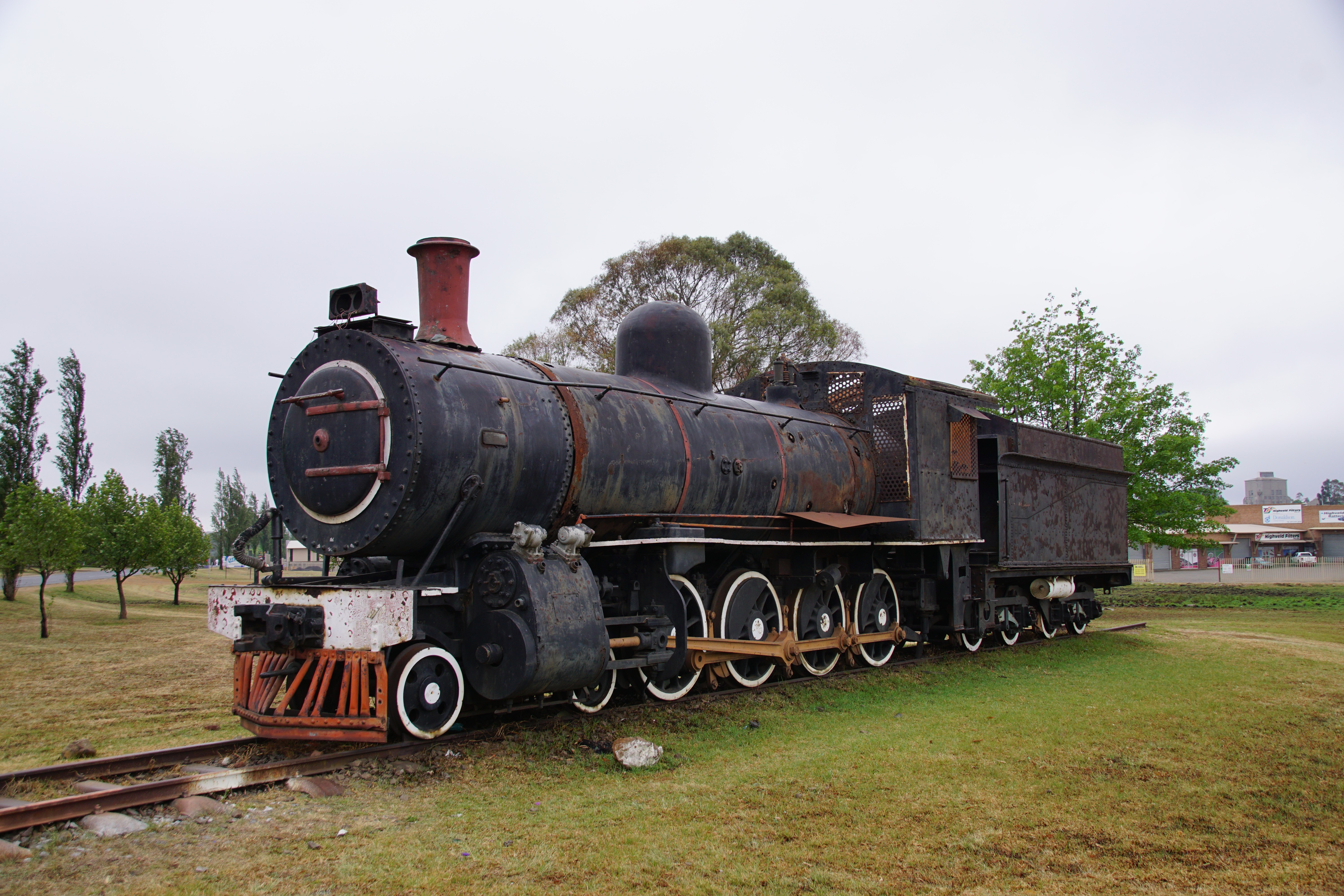
SAR Class 8A: No. 1106, Ermelo / Msukaligwa, Mpumalanga. 14.10.2016.

IMG-20130405-00462
Topographic Map of Ermelo, South Africa
Find elevation by address:

Places in Ermelo, South Africa:
Places near Ermelo, South Africa:
Eastvaal District Council
Witbank 267-it
Anthra Siding
Witpuntspruit
Maviristad
Groot Drakenstein
Blinkpan
Nkangala
Total Petroport N4 Alzu
Belfast
Nhlazatshe 1
Tranquilitas Adventure Farm
Belfast
Emgwenya
Elukwatini
Highland Gate Golf And Trout Estate
Mpumalanga
Dullstroom
Schoemanskloof
Recent Searches:
- Elevation of Lampiasi St, Sarasota, FL, USA
- Elevation of Elwyn Dr, Roanoke Rapids, NC, USA
- Elevation of Congressional Dr, Stevensville, MD, USA
- Elevation of Bellview Rd, McLean, VA, USA
- Elevation of Stage Island Rd, Chatham, MA, USA
- Elevation of Shibuya Scramble Crossing, 21 Udagawacho, Shibuya City, Tokyo -, Japan
- Elevation of Jadagoniai, Kaunas District Municipality, Lithuania
- Elevation of Pagonija rock, Kranto 7-oji g. 8"N, Kaunas, Lithuania
- Elevation of Co Rd 87, Jamestown, CO, USA
- Elevation of Tenjo, Cundinamarca, Colombia