Elevation of ANTHRA SIDING, Witbank -It, Ermelo, South Africa
Location: South Africa > Mpumalanga > Eastvaal District Council > Ermelo > Witbank 267-it >
Longitude: 30.0219243
Latitude: -26.560790
Elevation: -10000m / -32808feet
Barometric Pressure: 295KPa
Elevation Map:
Satellite Map:
Related Photos:

Vaalriver

ZA-110913
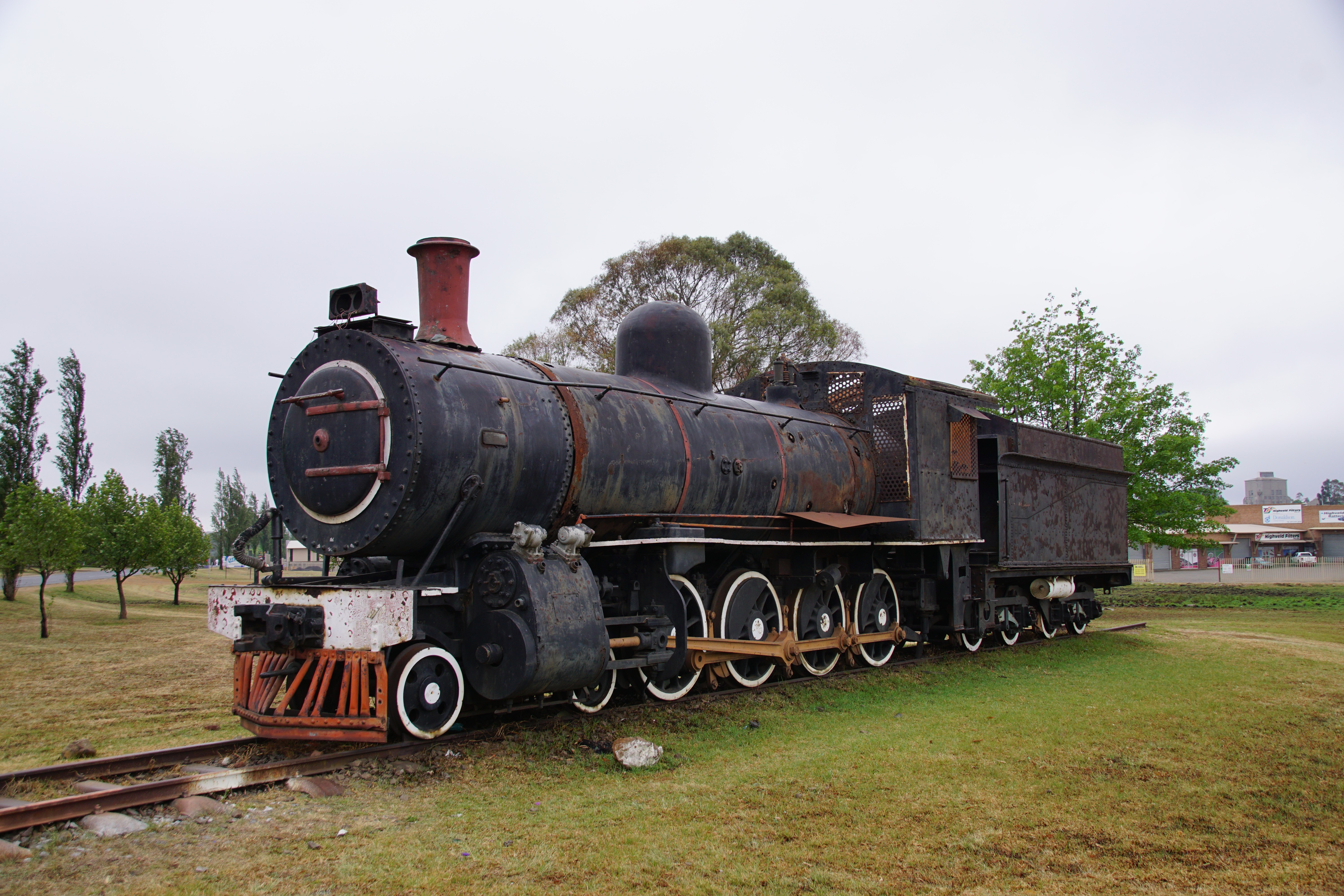
SAR Class 8A: No. 1106, Ermelo / Msukaligwa, Mpumalanga. 14.10.2016.

Purple and yellow veldflower weed

Purple veldflower

Inquisitive horses

Old stone fencepole with lichen

Old stone fencepole
Topographic Map of ANTHRA SIDING, Witbank -It, Ermelo, South Africa
Find elevation by address:

Places near ANTHRA SIDING, Witbank -It, Ermelo, South Africa:
Witbank 267-it
Eastvaal District Council
Ermelo
Witpuntspruit
Maviristad
Groot Drakenstein
Blinkpan
Nkangala
Total Petroport N4 Alzu
Belfast
Nhlazatshe 1
Elukwatini
Tranquilitas Adventure Farm
Emgwenya
Belfast
Mpumalanga
Highland Gate Golf And Trout Estate
Dullstroom
Schoemanskloof
Recent Searches:
- Elevation of Woolwine, VA, USA
- Elevation of Lumagwas Diversified Farmers Multi-Purpose Cooperative, Lumagwas, Adtuyon, RV32+MH7, Pangantucan, Bukidnon, Philippines
- Elevation of Homestead Ridge, New Braunfels, TX, USA
- Elevation of Orchard Road, Orchard Rd, Marlborough, NY, USA
- Elevation of 12 Hutchinson Woods Dr, Fletcher, NC, USA
- Elevation of Holloway Ave, San Francisco, CA, USA
- Elevation of Norfolk, NY, USA
- Elevation of - San Marcos Pass Rd, Santa Barbara, CA, USA
- Elevation of th Pl SE, Issaquah, WA, USA
- Elevation of 82- D Rd, Captain Cook, HI, USA