Elevation of Witpuntspruit, South Africa
Location: South Africa > Mpumalanga > Eastvaal District Council >
Longitude: 30.0962594
Latitude: -26.589604
Elevation: 1638m / 5374feet
Barometric Pressure: 83KPa
Elevation Map:
Satellite Map:
Related Photos:

Vaalriver

ZA-110913
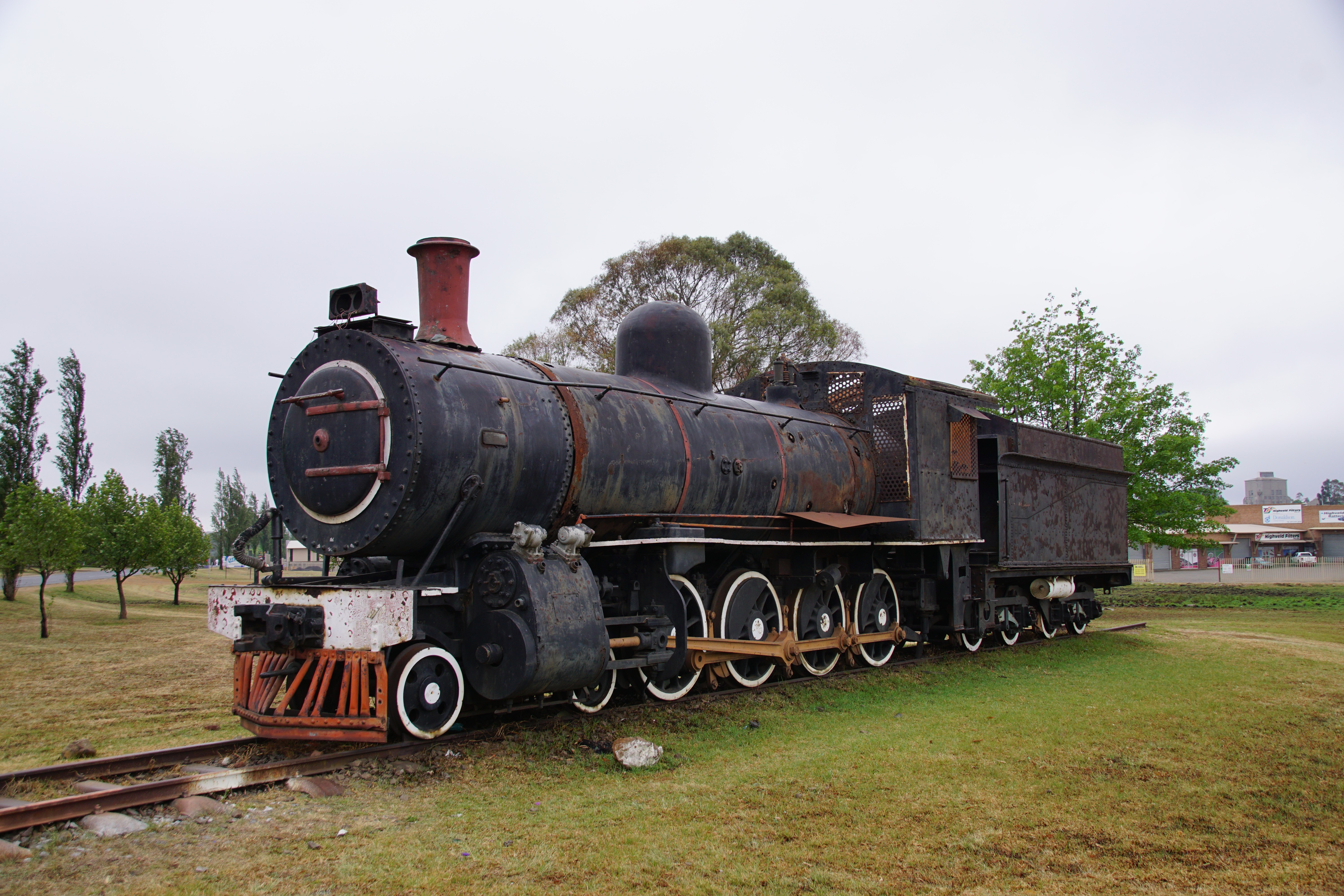
SAR Class 8A: No. 1106, Ermelo / Msukaligwa, Mpumalanga. 14.10.2016.

Purple and yellow veldflower weed

Purple veldflower

Inquisitive horses

Old stone fencepole with lichen

Old stone fencepole
Topographic Map of Witpuntspruit, South Africa
Find elevation by address:

Places near Witpuntspruit, South Africa:
Anthra Siding
Witbank 267-it
Eastvaal District Council
Ermelo
Maviristad
Groot Drakenstein
Blinkpan
Nkangala
Total Petroport N4 Alzu
Nhlazatshe 1
Elukwatini
Belfast
Tranquilitas Adventure Farm
Emgwenya
Belfast
Mpumalanga
Highland Gate Golf And Trout Estate
Dullstroom
Schoemanskloof
Recent Searches:
- Elevation of Warwick, RI, USA
- Elevation of Fern Rd, Whitmore, CA, USA
- Elevation of 62 Abbey St, Marshfield, MA, USA
- Elevation of Fernwood, Bradenton, FL, USA
- Elevation of Felindre, Swansea SA5 7LU, UK
- Elevation of Leyte Industrial Development Estate, Isabel, Leyte, Philippines
- Elevation of W Granada St, Tampa, FL, USA
- Elevation of Pykes Down, Ivybridge PL21 0BY, UK
- Elevation of Jalan Senandin, Lutong, Miri, Sarawak, Malaysia
- Elevation of Bilohirs'k