Elevation of Endy, NC, USA
Location: United States > North Carolina > Stanly County >
Longitude: -80.265584
Latitude: 35.2932921
Elevation: 137m / 449feet
Barometric Pressure: 100KPa
Elevation Map:
Satellite Map:
Related Photos:

RED BRICKS AND BLUE SKY

The Rust of Autumn

Approaching Winds

That Golden Light

Great White Egret

Randall Memorial Church

Uwharrie Vineyards-Survived The Harvest

Autumn Gold

Uwharrie Vineyards 4

The Sudden Incendiary Splash of Dawn

IMG_4443-Edit-Edit

Beginning of the Trail

NC Sunrise

NC countryside

old farm barn

Charles Plane - N46561
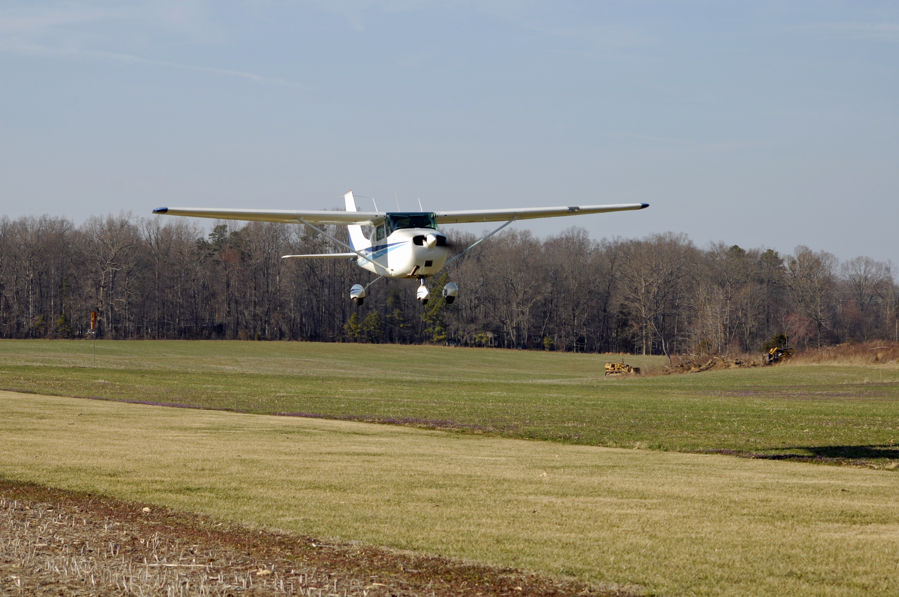
Charles Plane - N46561
Topographic Map of Endy, NC, USA
Find elevation by address:

Places in Endy, NC, USA:
Places near Endy, NC, USA:
Endy
Efird Road
Stanly County
24381 St Martin Rd
St Martin Rd, Albemarle, NC, USA
12611 St Martin Rd
Winfield Road
36804 Mauldin Rd
33515 S Stanly School Rd
33640 W Rd
Tyson
Silver Springs Road
Silver Springs Road
20199 State Rd 1908
Lakewood Road
Trailblazers Road
12084 Southern Rd
Big Lick
South Albemarle
Oakboro
Recent Searches:
- Elevation of Crocker Dr, Vacaville, CA, USA
- Elevation of Pu Ngaol Community Meeting Hall, HWHM+3X7, Krong Saen Monourom, Cambodia
- Elevation of Royal Ontario Museum, Queens Park, Toronto, ON M5S 2C6, Canada
- Elevation of Groblershoop, South Africa
- Elevation of Power Generation Enterprises | Industrial Diesel Generators, Oak Ave, Canyon Country, CA, USA
- Elevation of Chesaw Rd, Oroville, WA, USA
- Elevation of N, Mt Pleasant, UT, USA
- Elevation of 6 Rue Jules Ferry, Beausoleil, France
- Elevation of Sattva Horizon, 4JC6+G9P, Vinayak Nagar, Kattigenahalli, Bengaluru, Karnataka, India
- Elevation of Great Brook Sports, Gold Star Hwy, Groton, CT, USA