Elevation of St Martin Rd, Albemarle, NC, USA
Location: United States > North Carolina > Stanly County > Endy > Endy >
Longitude: -80.228362
Latitude: 35.3214711
Elevation: 167m / 548feet
Barometric Pressure: 99KPa
Elevation Map:
Satellite Map:
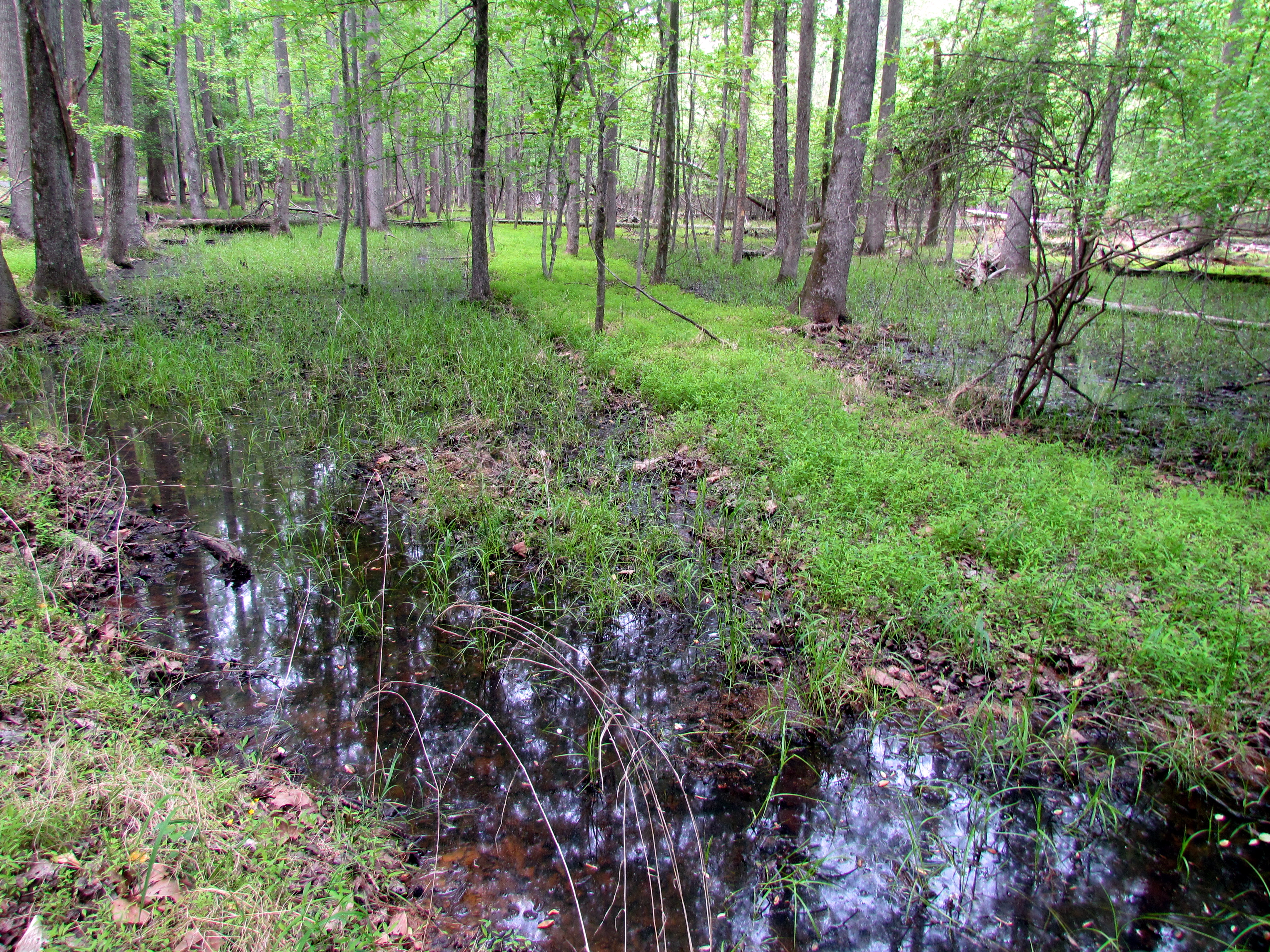
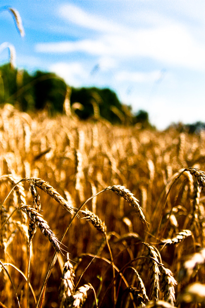
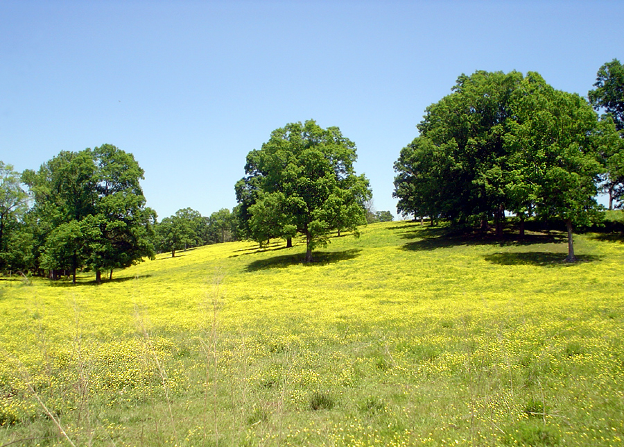
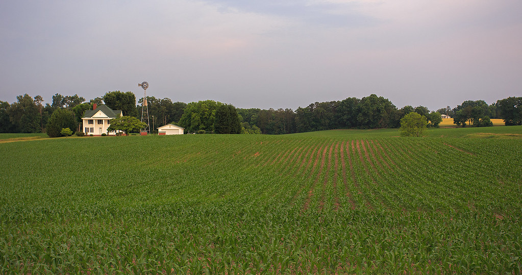
Related Photos:

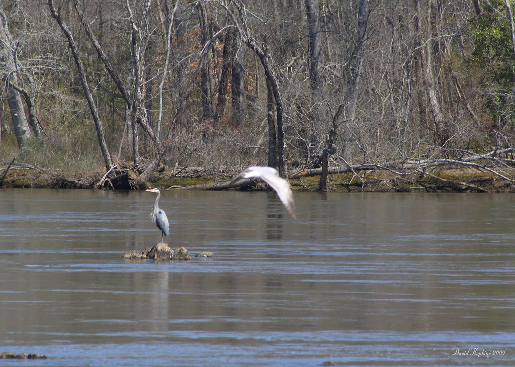
Great Blue Heron

Flight of the Eagle
Heading back down the mountain
Herron and Gull
View from the cliff above the waterfall

The Lovers

Approaching Winds
"It's so beautiful!"

Petals After Morning Rain (2)

The Rust of Autumn
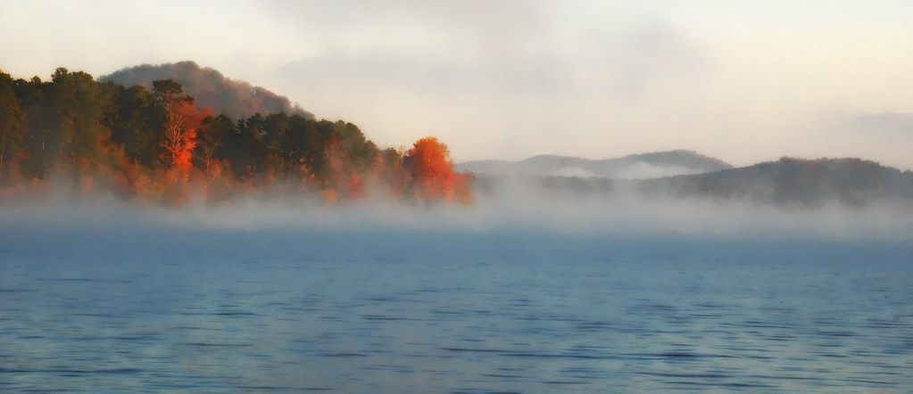
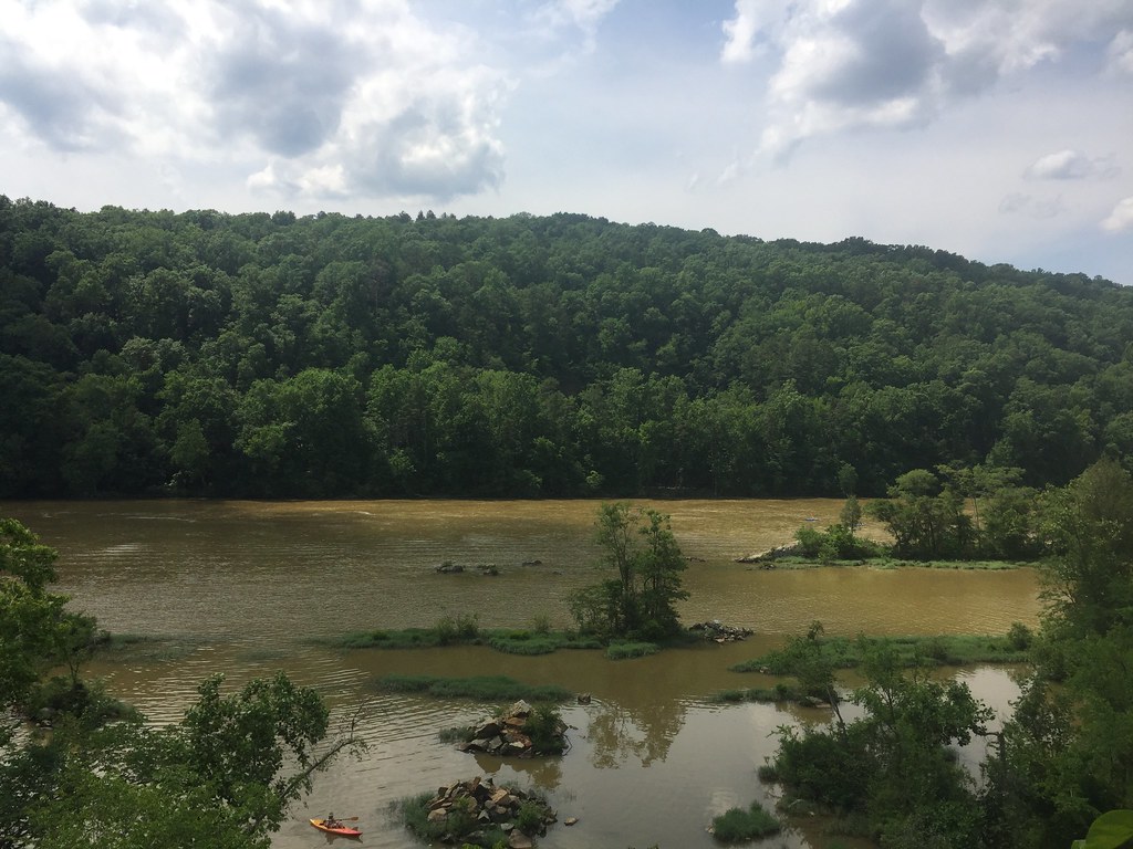
Lake Tillery from Woodrun DSC_2147 c e
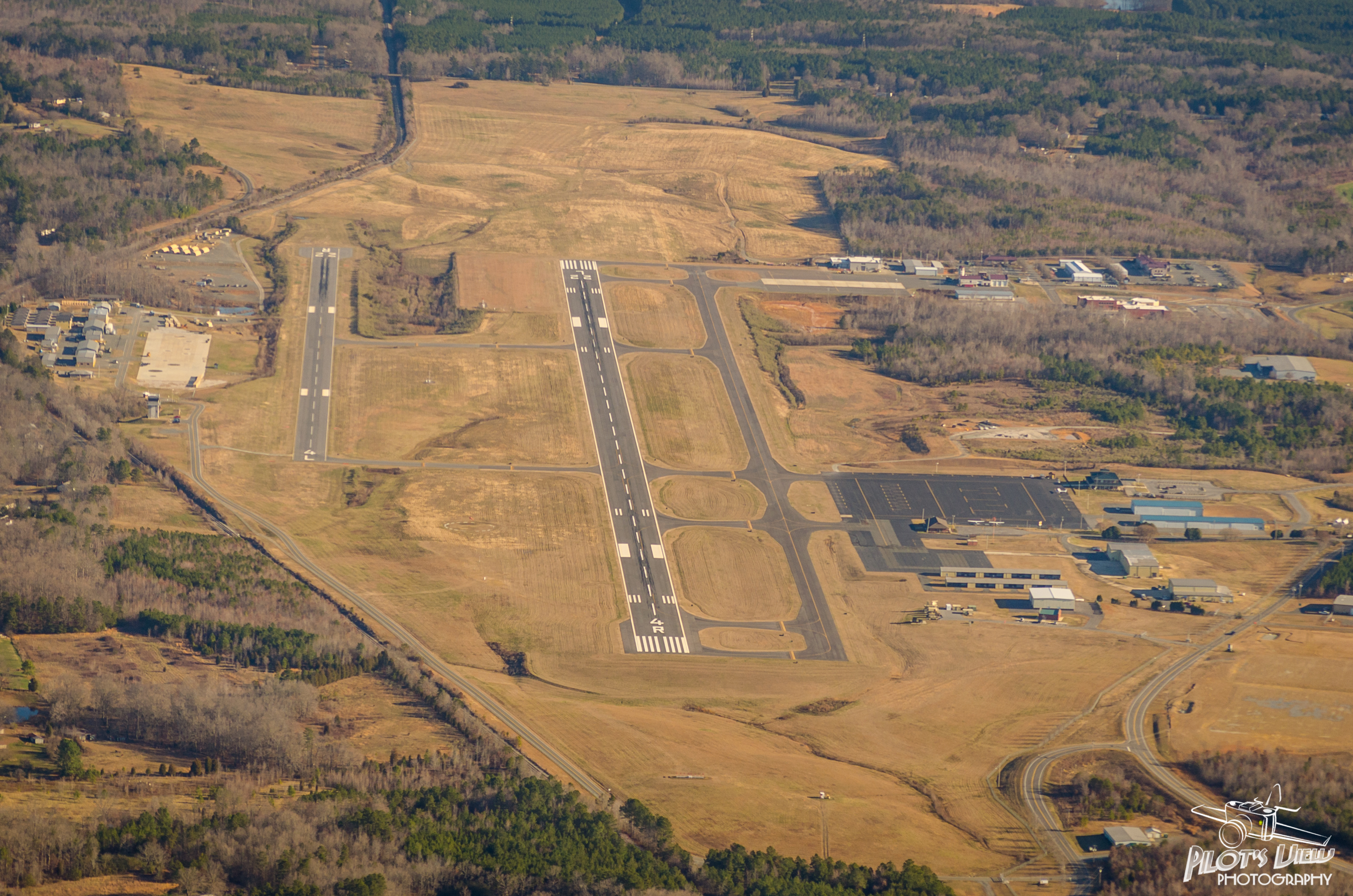
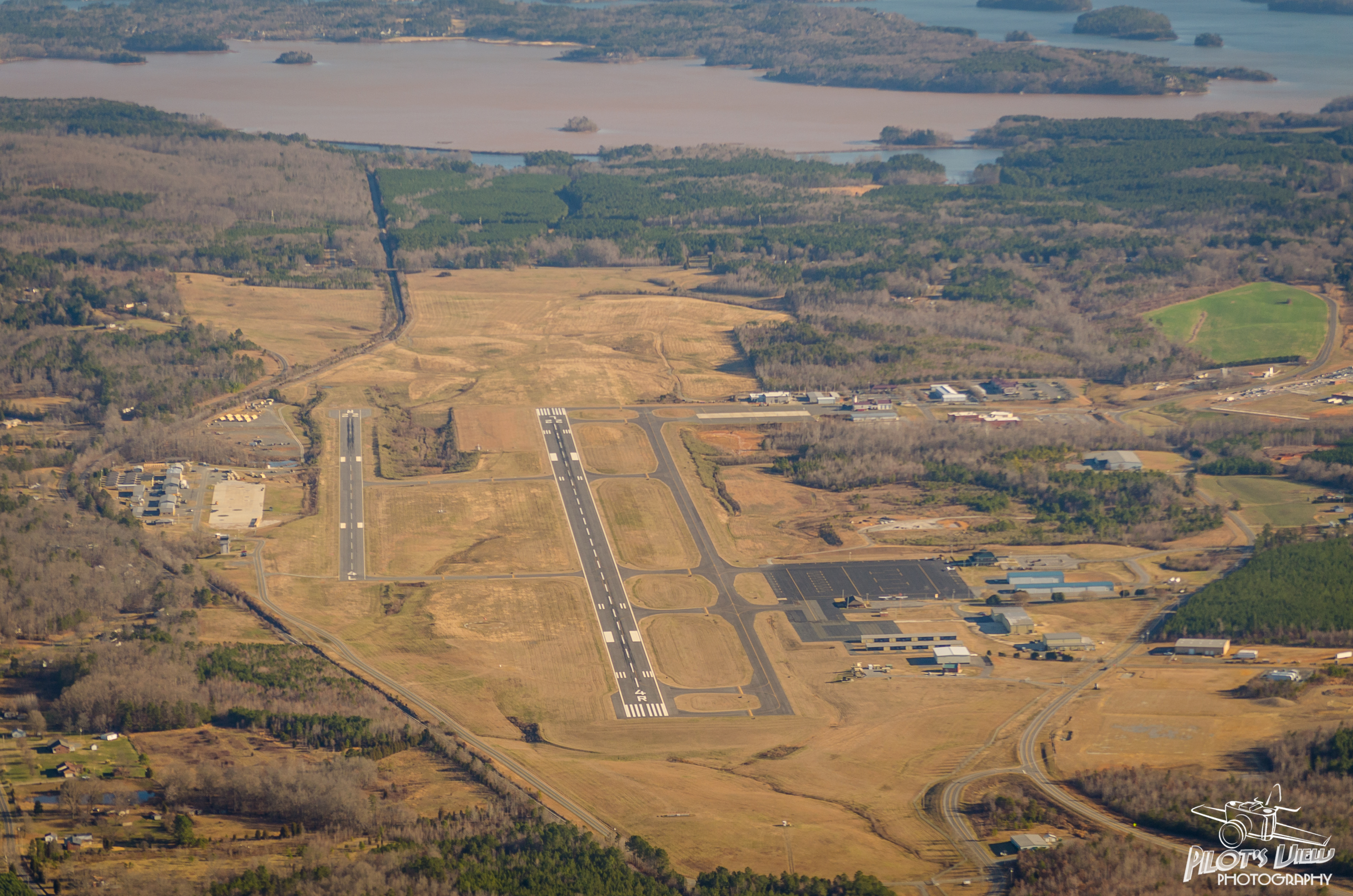
KVUJ Aerial PVP 2013-2

Petals After Morning Rain

Autumn Gold
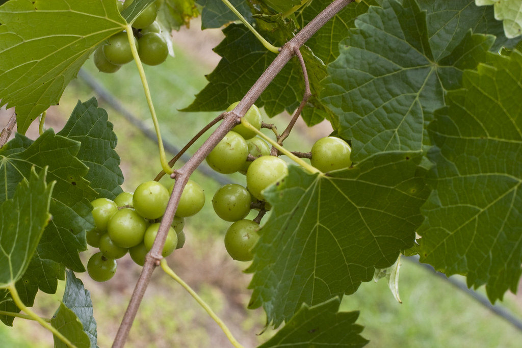
Uwharrie Vineyards-Survived The Harvest
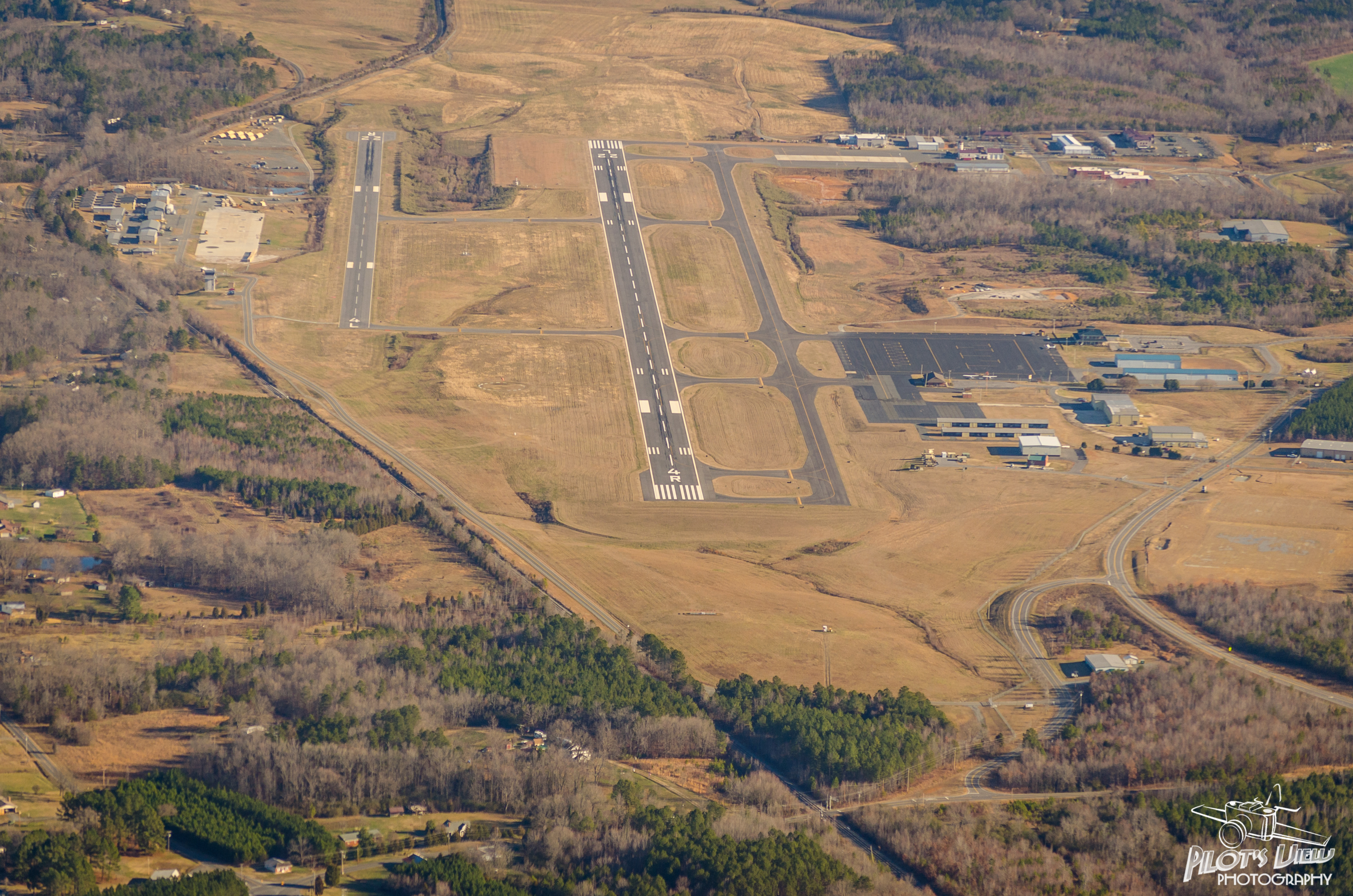
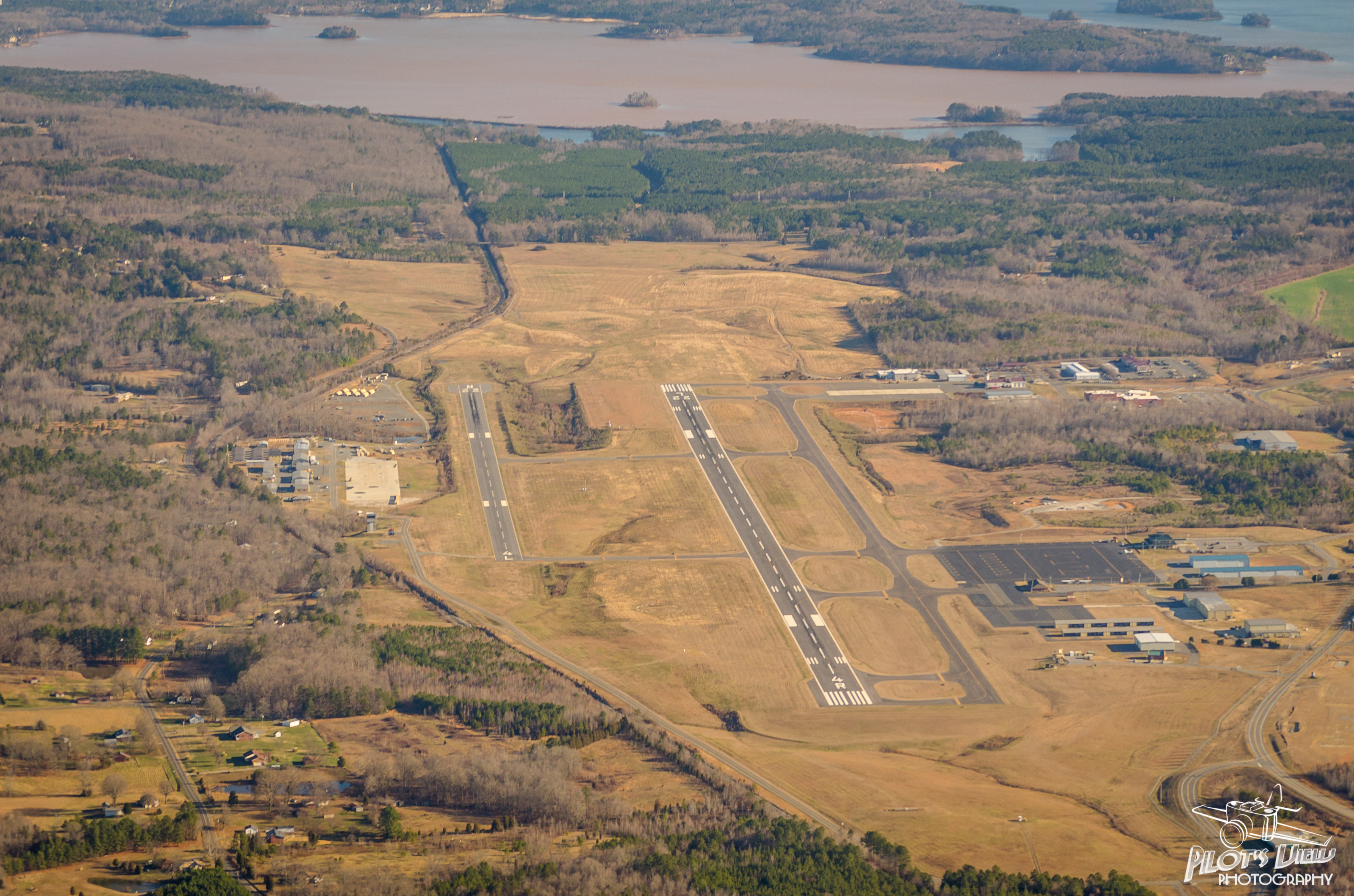
KVUJ Aerial PVP 2013-1

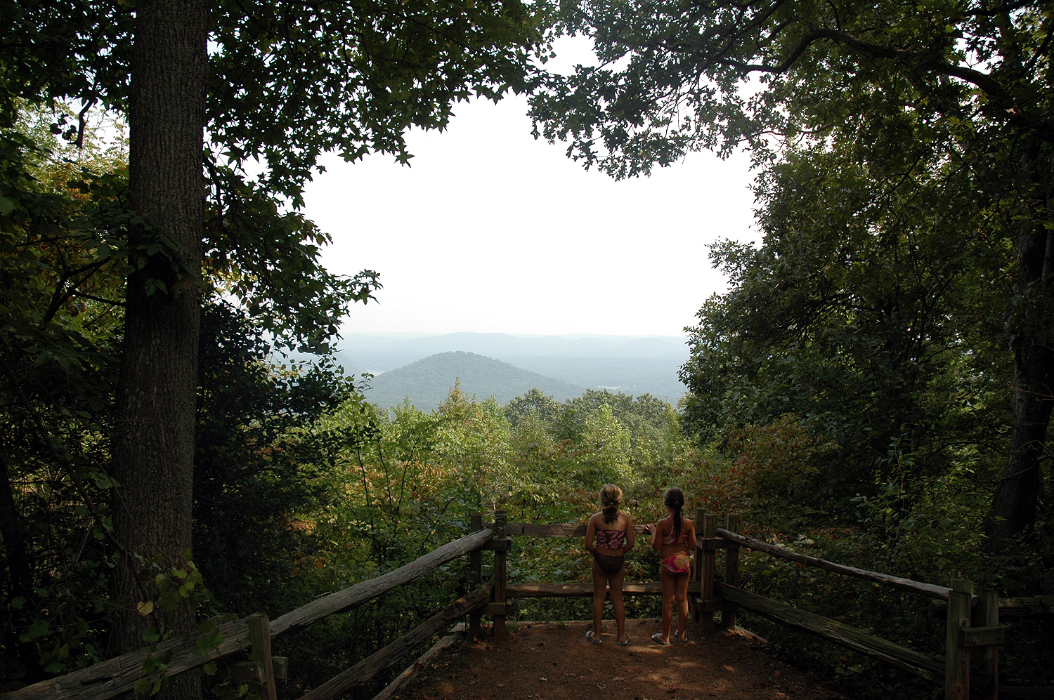
Shaded at the top of the mountain
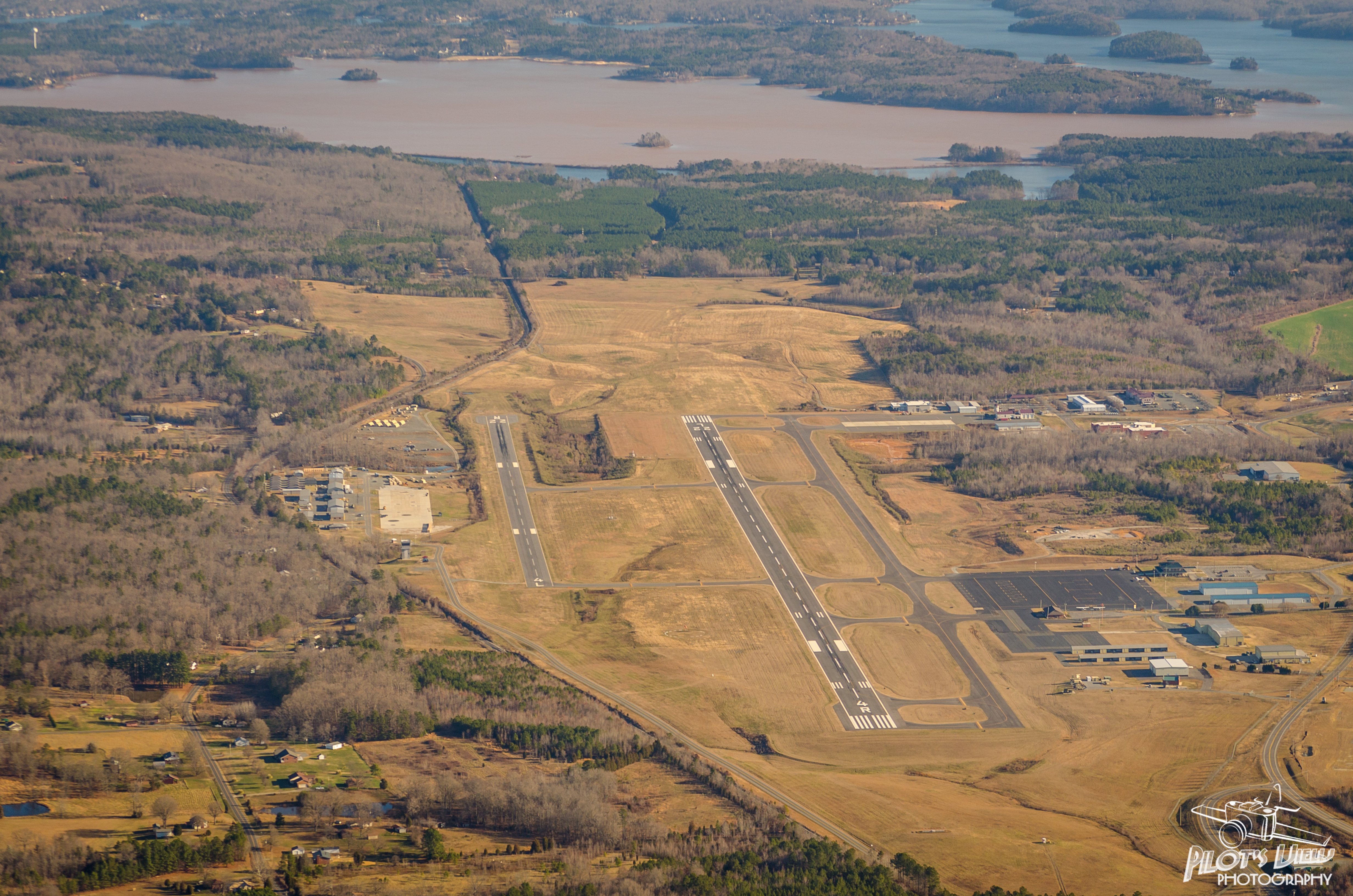
KVUJ Aerial PVP 2013-3
KVUJ Aerial PVP 2013-5
Just sittin' there
KVUJ Aerial PVP 2013-6
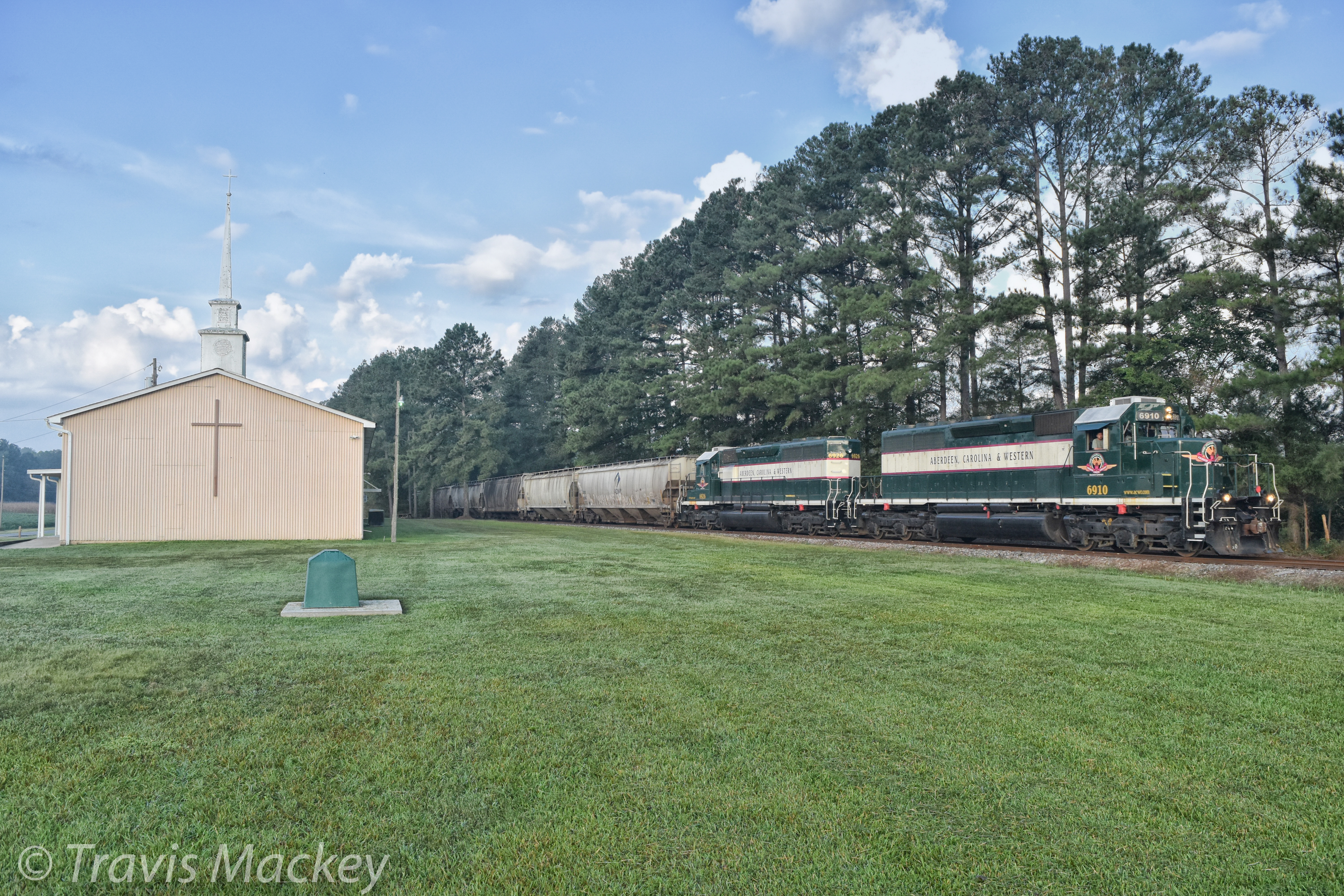
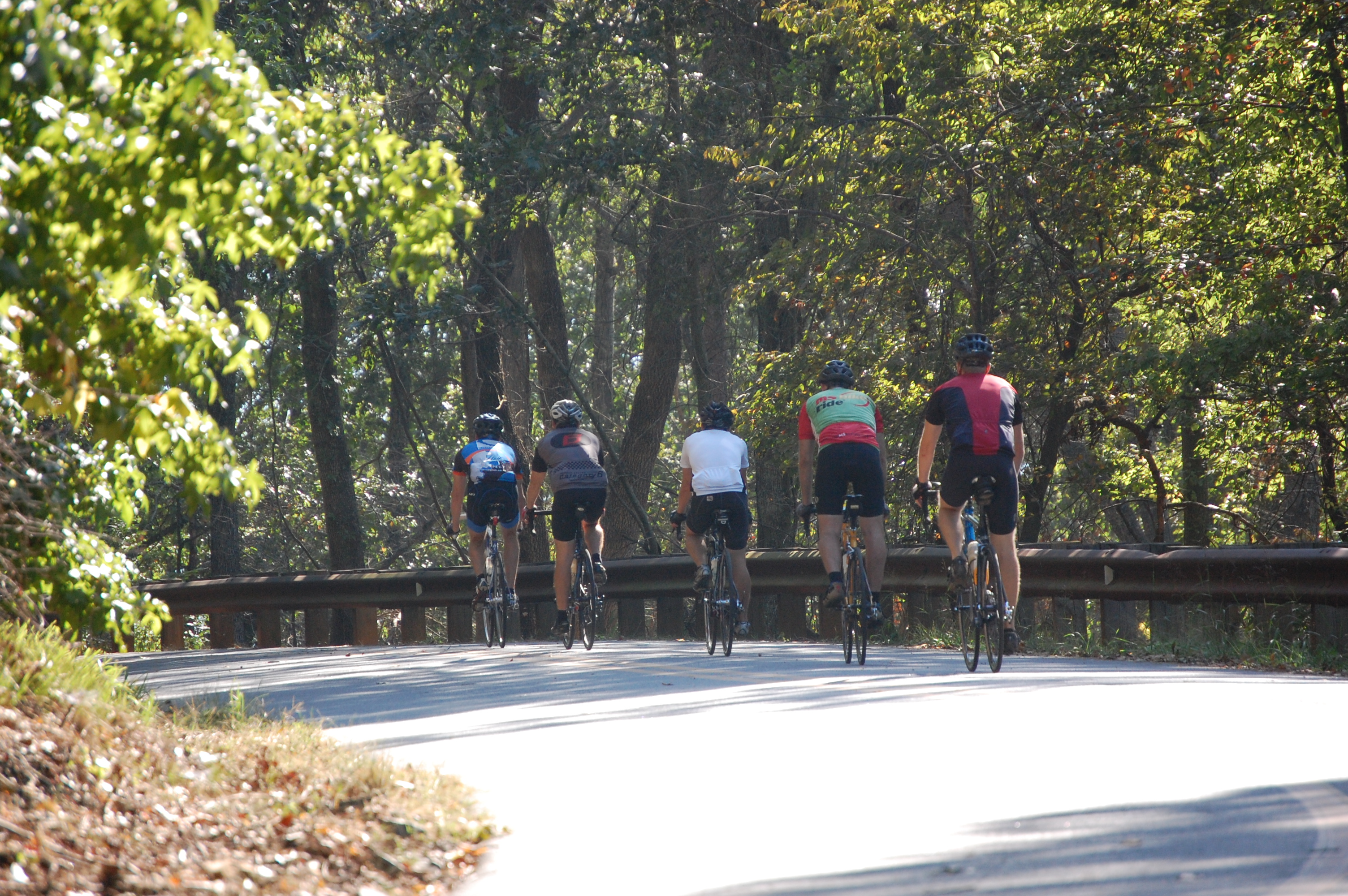
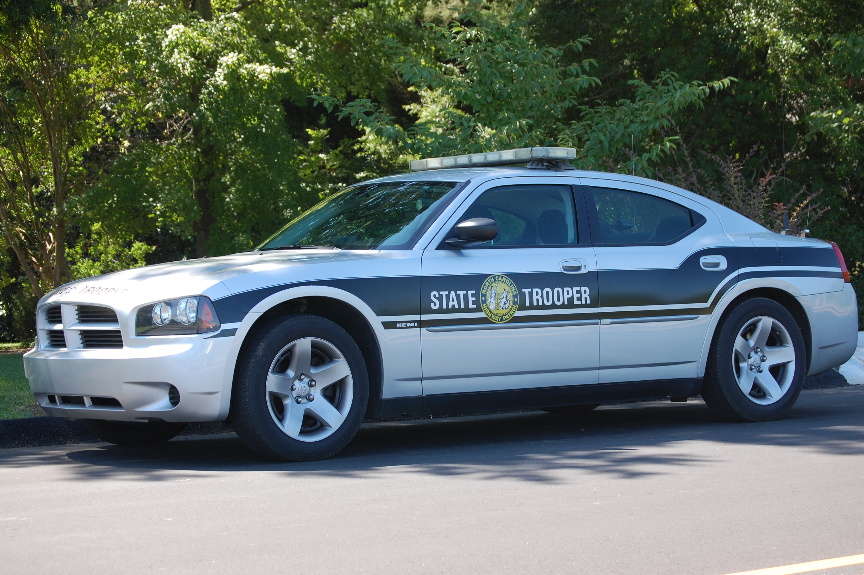
ACWR 300 at Barbees Grove RD
Morrow Mt SP NC 1116

Morrow Mt SP NC 1087
Morrow Mt SP NC 1115
Morrow Mt SP NC 1055
Morrow Mt SP NC 1112
Now that it's all over, what did you really do yesterday that's worth mentioning?
Yellow Field on McNeil Road

Rural NC
IMG_4443-Edit-Edit

24-27 AT LAKE TILLERY BRIDGE
MORROW MT
20141115-DSC_4780
20141115-DSC_4781

20141115-DSC_4731

20141115-DSC_4754

KVUJ Aerial PVP 2013-4
20171106-DSC_1003
Topographic Map of St Martin Rd, Albemarle, NC, USA
Find elevation by address:

Places near St Martin Rd, Albemarle, NC, USA:
St Martin Rd, Albemarle, NC, USA
Stanly County
Endy
Endy
South Albemarle
20199 State Rd 1908
36804 Mauldin Rd
Efird Road
Silver Springs Road
Silver Springs Road
Winfield Road
Tyson
33515 S Stanly School Rd
12084 Southern Rd
Ugly Creek
33640 W Rd
12611 St Martin Rd
Plank Rd, Norwood, NC, USA
Lakewood Road
Trailblazers Road
Recent Searches:
- Elevation of Pykes Down, Ivybridge PL21 0BY, UK
- Elevation of Jalan Senandin, Lutong, Miri, Sarawak, Malaysia
- Elevation of Bilohirs'k
- Elevation of 30 Oak Lawn Dr, Barkhamsted, CT, USA
- Elevation of Luther Road, Luther Rd, Auburn, CA, USA
- Elevation of Unnamed Road, Respublika Severnaya Osetiya — Alaniya, Russia
- Elevation of Verkhny Fiagdon, North Ossetia–Alania Republic, Russia
- Elevation of F. Viola Hiway, San Rafael, Bulacan, Philippines
- Elevation of Herbage Dr, Gulfport, MS, USA
- Elevation of Lilac Cir, Haldimand, ON N3W 2G9, Canada