Elevation of Ems Tower Rd, Woodbine, GA, USA
Location: United States > Georgia > Camden County > Woodbine >
Longitude: -81.67676
Latitude: 30.858838
Elevation: 6m / 20feet
Barometric Pressure: 101KPa
Elevation Map:
Satellite Map:
Related Photos:

Crossing Into Florida II

Two Generations Of Steel

Sunset Satilla River_IMG_20141203_2569

Augusts Showers

Spectrums From The West

DON'T FORGET THE SOUVENIRS

Fox Sparrow (Red)

St. Marys, Georgia
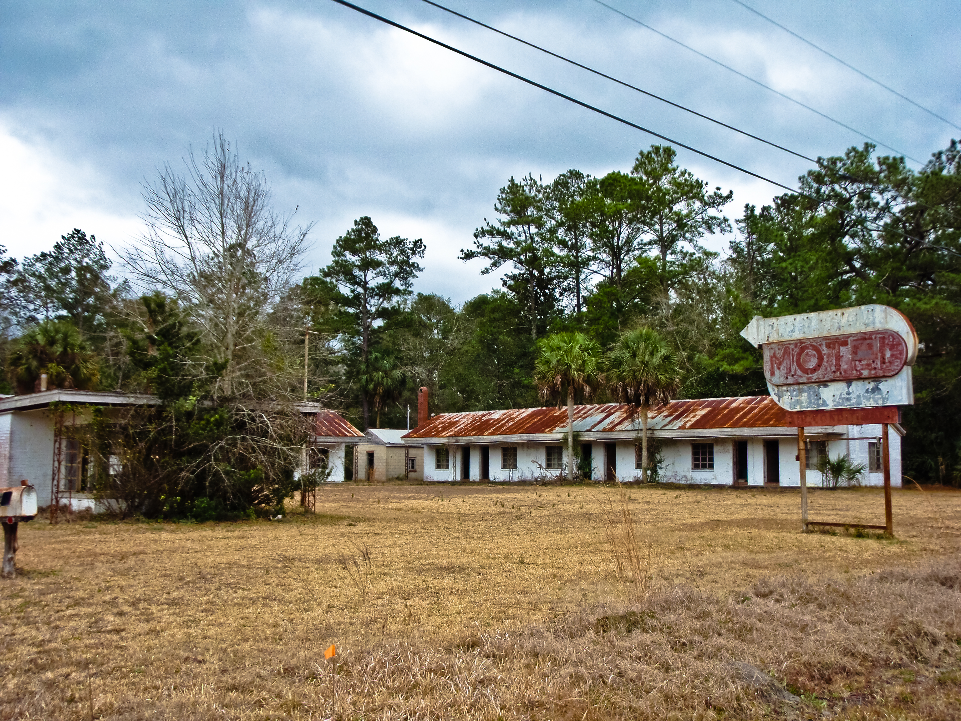
BORDER MOTEL
Deeper than Any Forest Primeval...

Fox Sparrow (Red)

We're Glad Georgia's On Your Mind
2013.04.04.19 Woodbine

Entering Florida

My lunch--IT WAS GOOD!

Entering Florida

Sunday Morning III_IMG_5463

Sunday Morning I_IMG_5419
Time for hydration--again!

Further to my front

To my front

Last northbound run across the Marshes

A Good Sunday

Like a Dream

Mitzi & Brent's wedding venue.

Marsh at High Tide_IMG_0979

Waiting for the sun

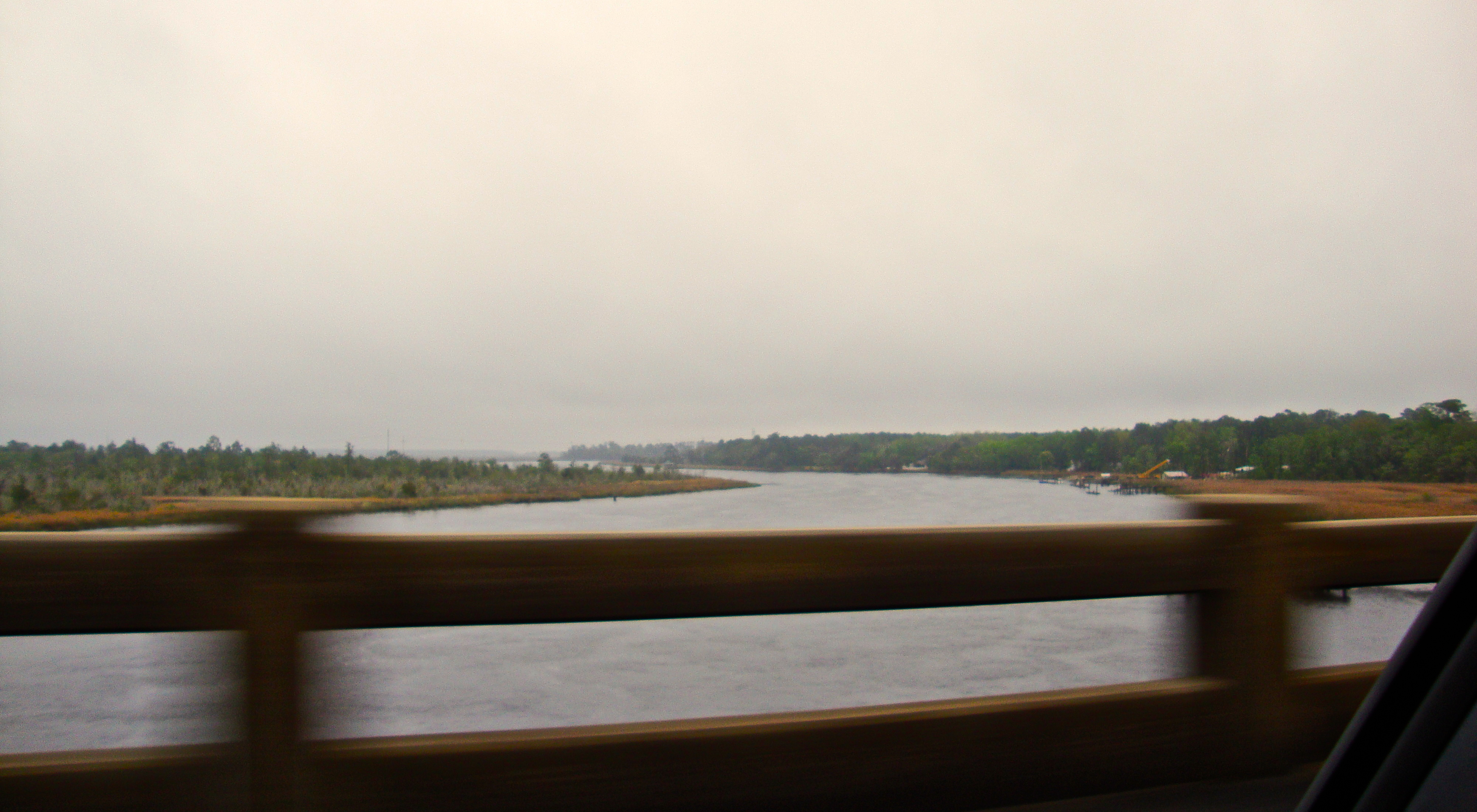
Satilla River_IMG_20150418_2785

Lines IMG_0994

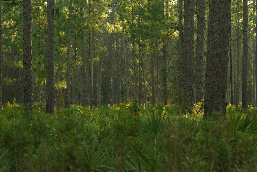
Forest Path

Sunrise on the River_IMG_0173
St Mary's Steam Express

Calm Morning IMG_8588

Reflection IMG_0903_HDR

Crooked River State Park 16

Crooked River Before Sunrise_IMG_8562

Crooked River State Park 14

Morning Calm_IMG_7410

After Sunset_IMG_20141124_2511

On the River_IMG_20150502_2745

River from the Dock_IMG_8701
Topographic Map of Ems Tower Rd, Woodbine, GA, USA
Find elevation by address:

Places near Ems Tower Rd, Woodbine, GA, USA:
Old Still Rd, Woodbine, GA, USA
7525 Ocean Hwy
7525 Ocean Hwy
Harrietts Bluff Rd, Woodbine, GA, USA
US-17, Kingsland, GA, USA
104 Old Still Rd W
Brazell Road
378 Sheffield Island Rd
Pine Dr, Woodbine, GA, USA
Old Jefferson Hwy, Woodbine, GA, USA
Sheffield Cemetery
28 Wood Duck Dr
64 Josephs Ct
106 Wood Duck Dr
136 Wood Duck Dr
201 Wood Duck Dr
Wildcat Drive
256 Wood Duck Dr
29 Green Wing Rd
422 Deerwood Village Dr
Recent Searches:
- Elevation of Corso Fratelli Cairoli, 35, Macerata MC, Italy
- Elevation of Tallevast Rd, Sarasota, FL, USA
- Elevation of 4th St E, Sonoma, CA, USA
- Elevation of Black Hollow Rd, Pennsdale, PA, USA
- Elevation of Oakland Ave, Williamsport, PA, USA
- Elevation of Pedrógão Grande, Portugal
- Elevation of Klee Dr, Martinsburg, WV, USA
- Elevation of Via Roma, Pieranica CR, Italy
- Elevation of Tavkvetili Mountain, Georgia
- Elevation of Hartfords Bluff Cir, Mt Pleasant, SC, USA