Elevation of Harrietts Bluff Rd, Woodbine, GA, USA
Location: United States > Georgia > Camden County > Woodbine >
Longitude: -81.654437
Latitude: 30.845985
Elevation: 7m / 23feet
Barometric Pressure: 101KPa
Elevation Map:
Satellite Map:
Related Photos:

Crossing Into Florida II

Sunset Satilla River_IMG_20141203_2569

Two Generations Of Steel

DON'T FORGET THE SOUVENIRS
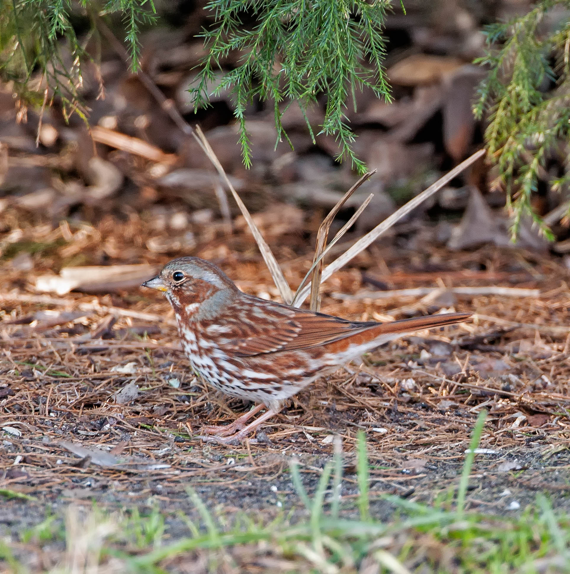
Fox Sparrow (Red)
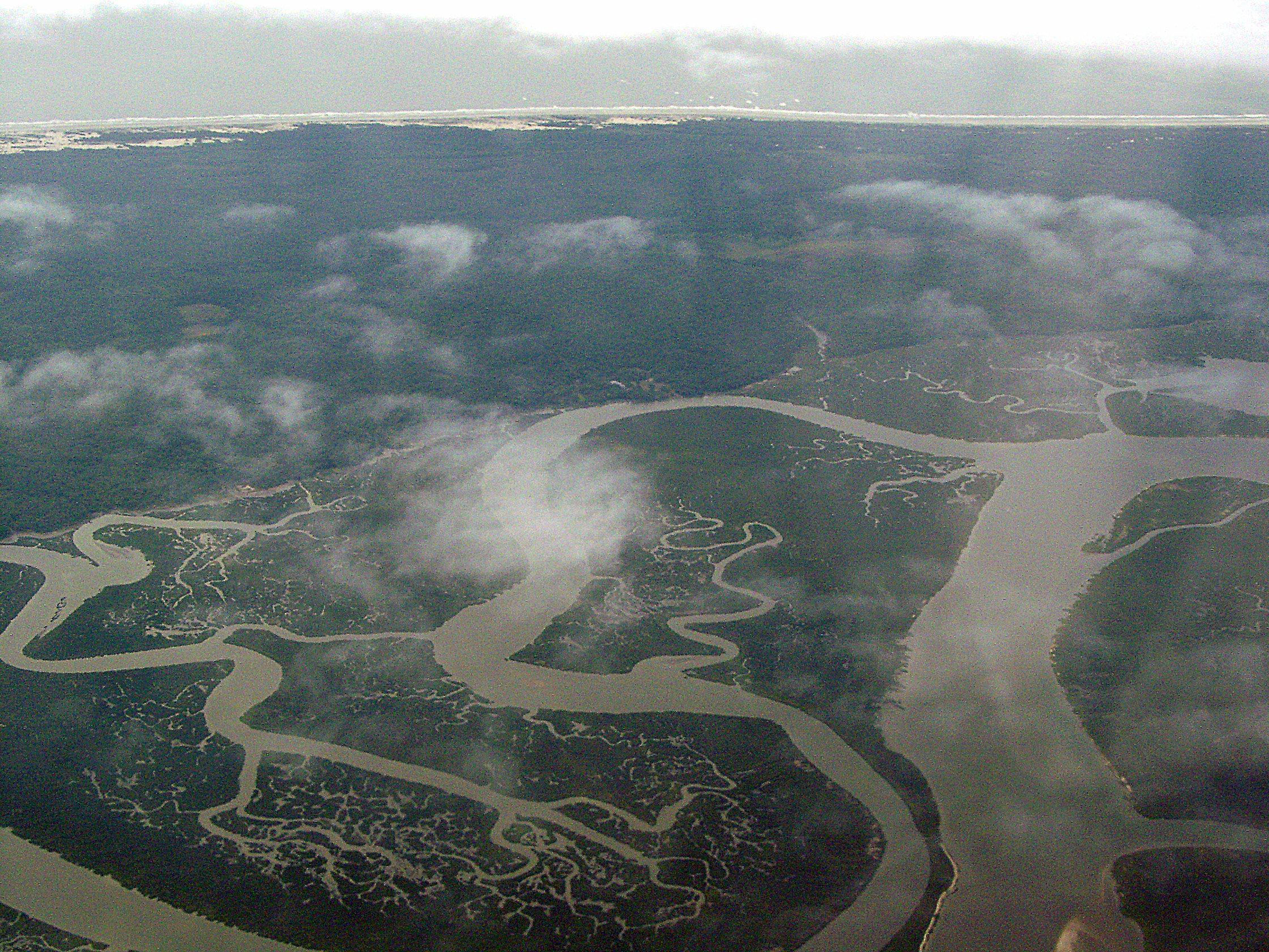
Cumberland River, Brickhill River, and Cumberland Island, Georgia
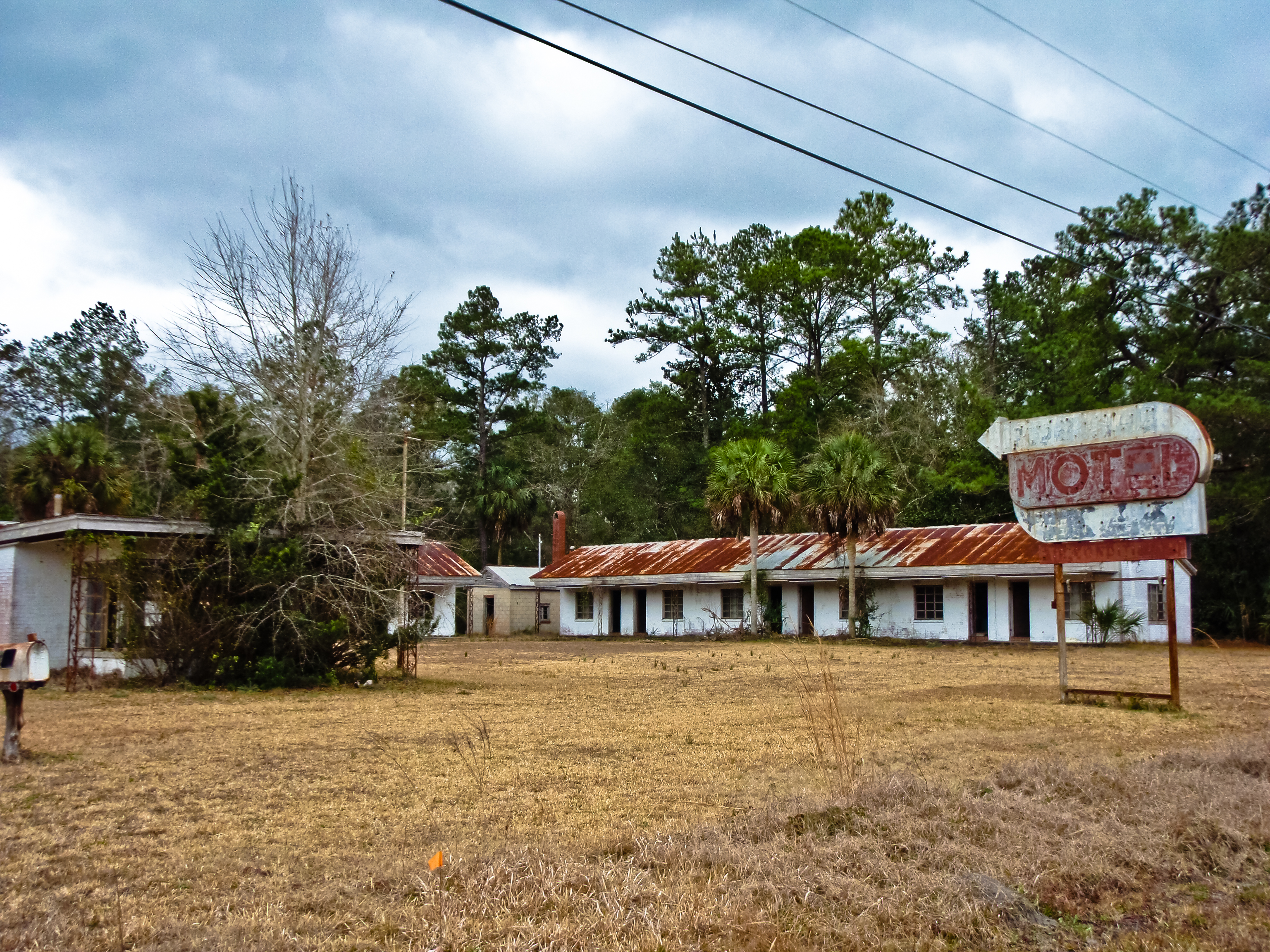
BORDER MOTEL
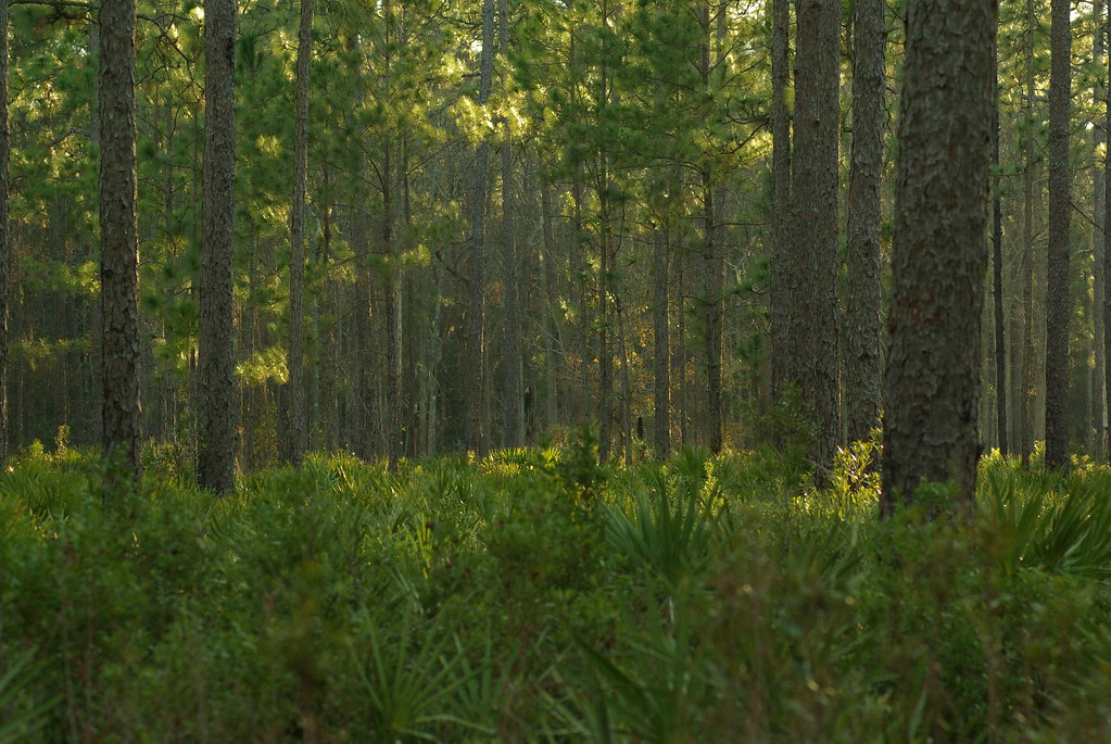
Deeper than Any Forest Primeval...
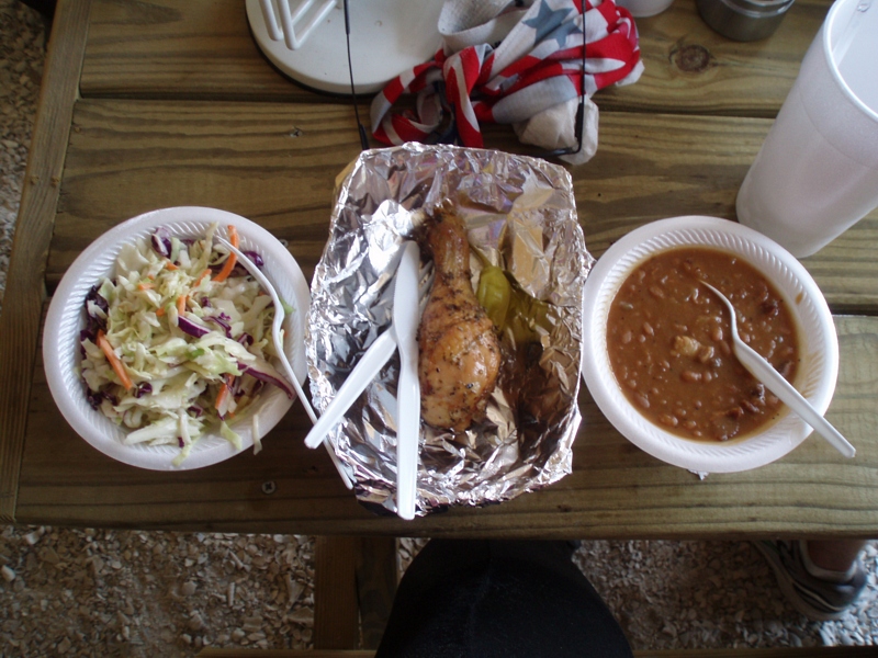
My lunch--IT WAS GOOD!

Entering Florida

Sunday Morning III_IMG_5463
Time for hydration--again!
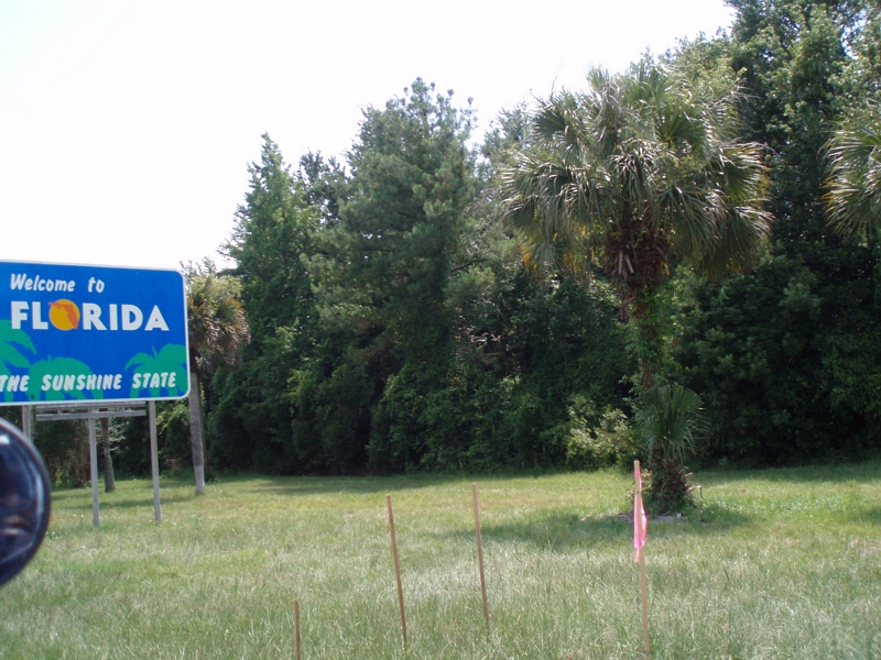
Our 4th state in as many days
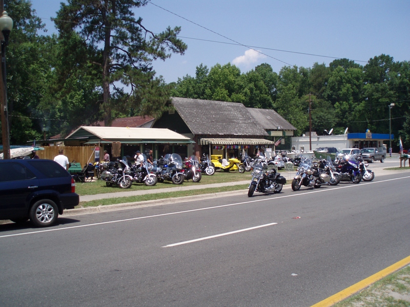
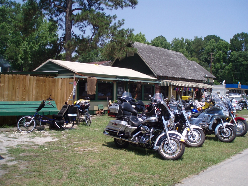
More bikes
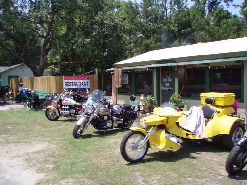
This is where we had lunch
Lots of bikes
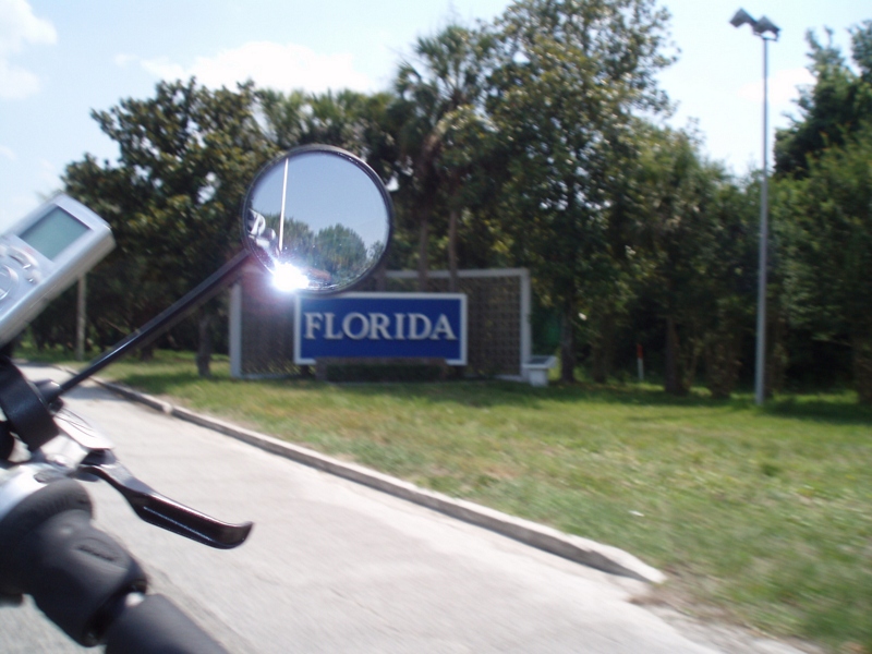
Our last state--now to bike the length of FL--Tropical storm on the way...
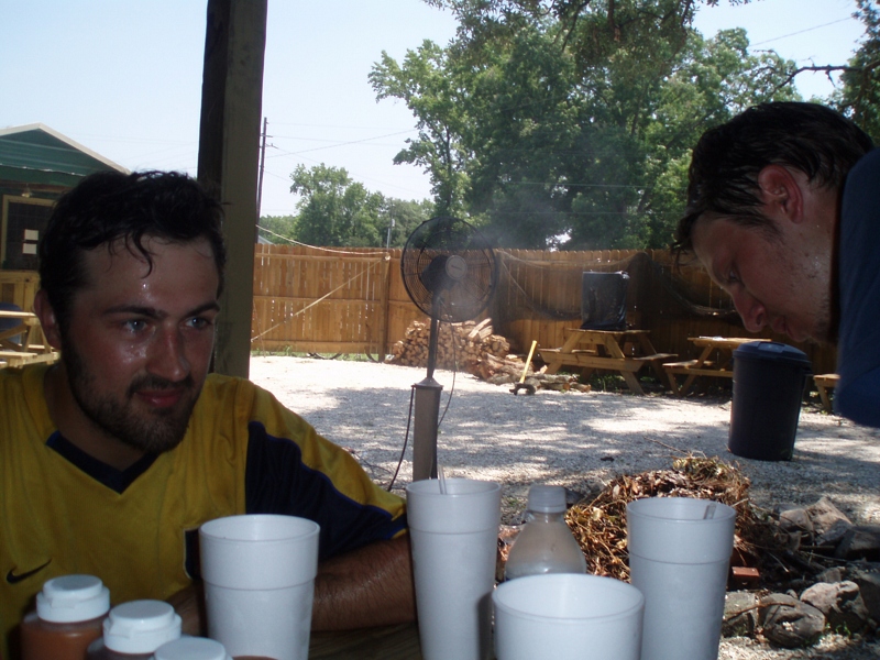
Our lunch
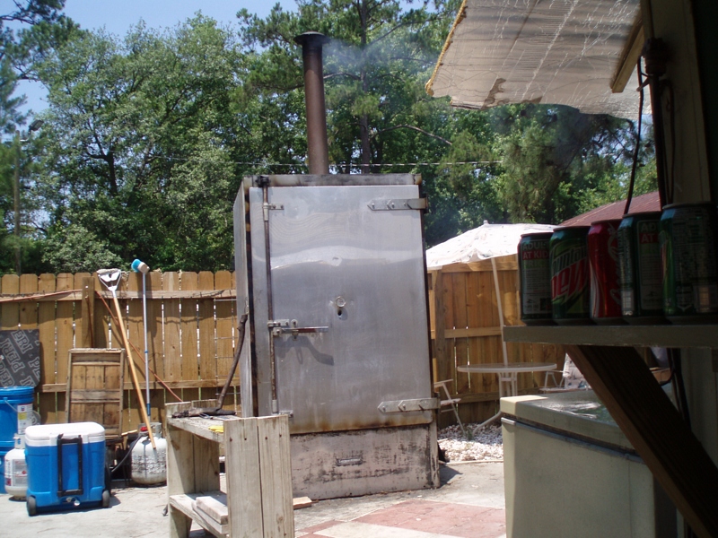
The smoker
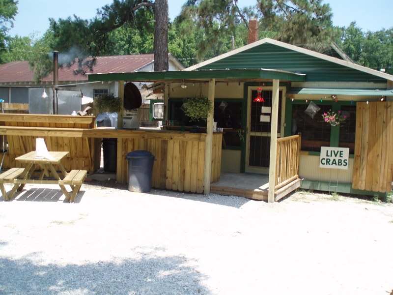
The bar & grill area

Sunday Morning II_IMG_5430

Waiting for the sun

Marsh at High Tide_IMG_0979

Satilla River_IMG_20150418_2785

Reflection IMG_0903_HDR

Lines IMG_0994

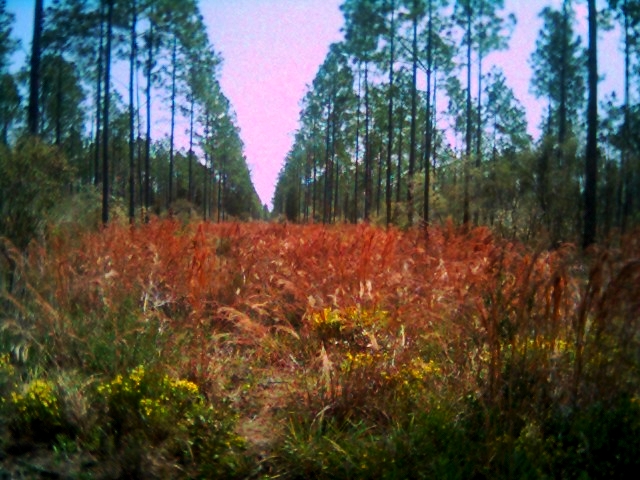
Forest Path

Morning Calm_IMG_7410

Sunrise on the River_IMG_0173

Calm Morning IMG_8588

After Sunset_IMG_20141124_2511

Crooked River Before Sunrise_IMG_8562

Steel Truss Bridge (IR)

Crooked River State Park 16

On the River_IMG_20150502_2745
Row thin

Crooked River State Park 14

Saint Marys sunset

2013 Project 365 - 279

Crooked River State Park 3

Kings Bay Naval Submarine Base 2
Topographic Map of Harrietts Bluff Rd, Woodbine, GA, USA
Find elevation by address:

Places near Harrietts Bluff Rd, Woodbine, GA, USA:
378 Sheffield Island Rd
Brazell Road
Old Still Rd, Woodbine, GA, USA
Pine Dr, Woodbine, GA, USA
Ems Tower Rd, Woodbine, GA, USA
Riley Hunter Dr, Kingsland, GA, USA
Cason Noah Drive
104 Old Still Rd W
28 Wood Duck Dr
Wildcat Drive
136 Wood Duck Dr
422 Deerwood Village Dr
106 Wood Duck Dr
201 Wood Duck Dr
256 Wood Duck Dr
29 Green Wing Rd
Wildcat Boulevard
321 Daniel Trent Way
60 Sadler Cove Dr
Harrietts Bluff Rd, Woodbine, GA, USA
Recent Searches:
- Elevation of Rojo Ct, Atascadero, CA, USA
- Elevation of Flagstaff Drive, Flagstaff Dr, North Carolina, USA
- Elevation of Avery Ln, Lakeland, FL, USA
- Elevation of Woolwine, VA, USA
- Elevation of Lumagwas Diversified Farmers Multi-Purpose Cooperative, Lumagwas, Adtuyon, RV32+MH7, Pangantucan, Bukidnon, Philippines
- Elevation of Homestead Ridge, New Braunfels, TX, USA
- Elevation of Orchard Road, Orchard Rd, Marlborough, NY, USA
- Elevation of 12 Hutchinson Woods Dr, Fletcher, NC, USA
- Elevation of Holloway Ave, San Francisco, CA, USA
- Elevation of Norfolk, NY, USA