Elevation of Old Still Rd, Woodbine, GA, USA
Location: United States > Georgia > Camden County > Woodbine >
Longitude: -81.677027
Latitude: 30.842293
Elevation: 6m / 20feet
Barometric Pressure: 101KPa
Elevation Map:
Satellite Map:
Related Photos:

Two Generations Of Steel
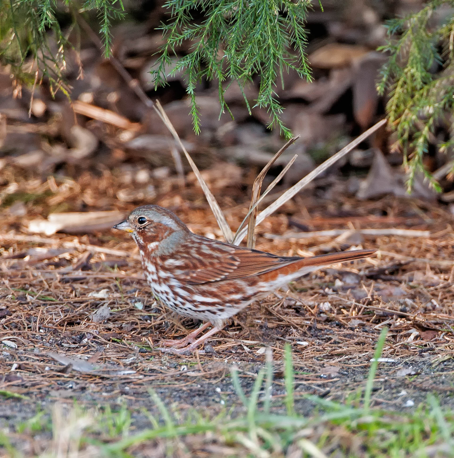
Fox Sparrow (Red)
Deeper than Any Forest Primeval...

Sunday Morning III_IMG_5463
Time for hydration--again!

Sunday Morning II_IMG_5430

Sunday Morning I_IMG_5419

SWFLANT_Glow_IMG_8912 View full screen.

Fox Sparrow (Red)

Spectrums From The West
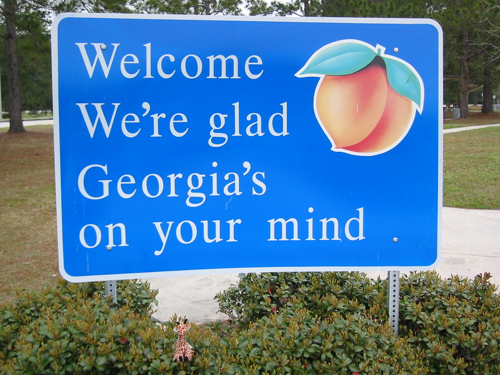
We're Glad Georgia's On Your Mind

Augusts Showers

St. Marys, Georgia

Crossing Into Florida II

Sunset Satilla River_IMG_20141203_2569

DON'T FORGET THE SOUVENIRS
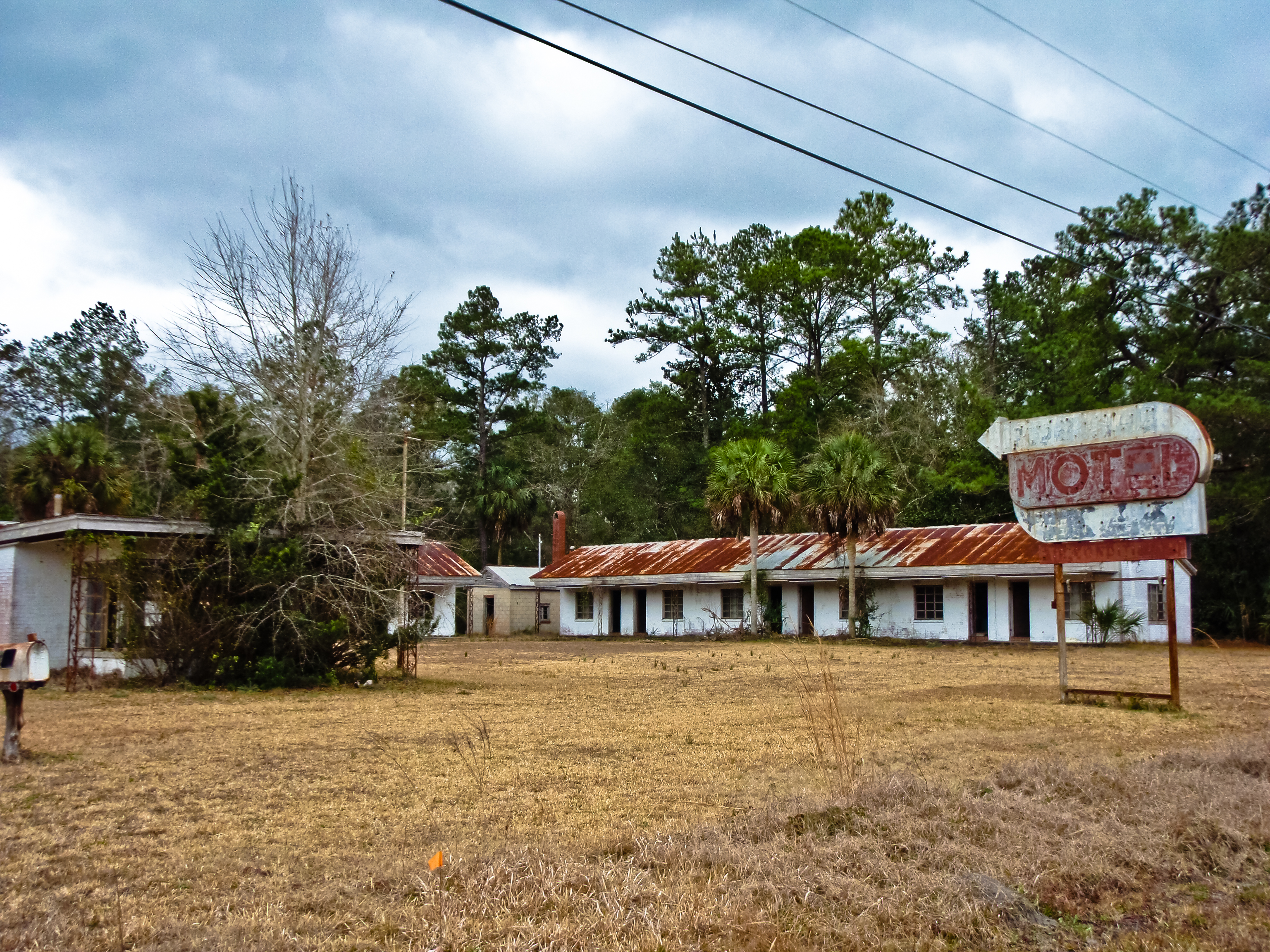
BORDER MOTEL
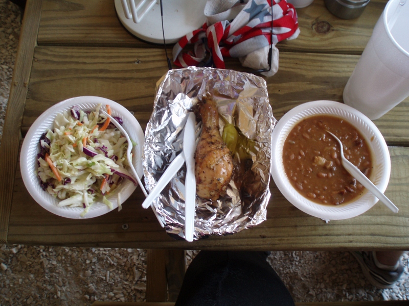
My lunch--IT WAS GOOD!

Entering Florida

Further to my front

To my front

Reflection IMG_0903_HDR

Lines IMG_0994

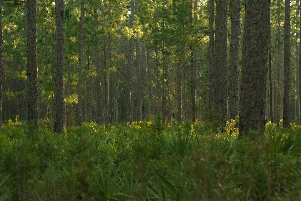
Forest Path

Sunrise on the River_IMG_0173

Wide open road

Crooked River Before Sunrise_IMG_8562

On the River_IMG_20150502_2745

Crooked River State Park 14

2013 Project 365 - 279

Crooked River State Park 3

Kings Bay Naval Submarine Base 2

2013 Project 365 - 278

Crooked River State Park 15

Waiting for the sun

Marsh at High Tide_IMG_0979

Satilla River_IMG_20150418_2785

Morning Calm_IMG_7410
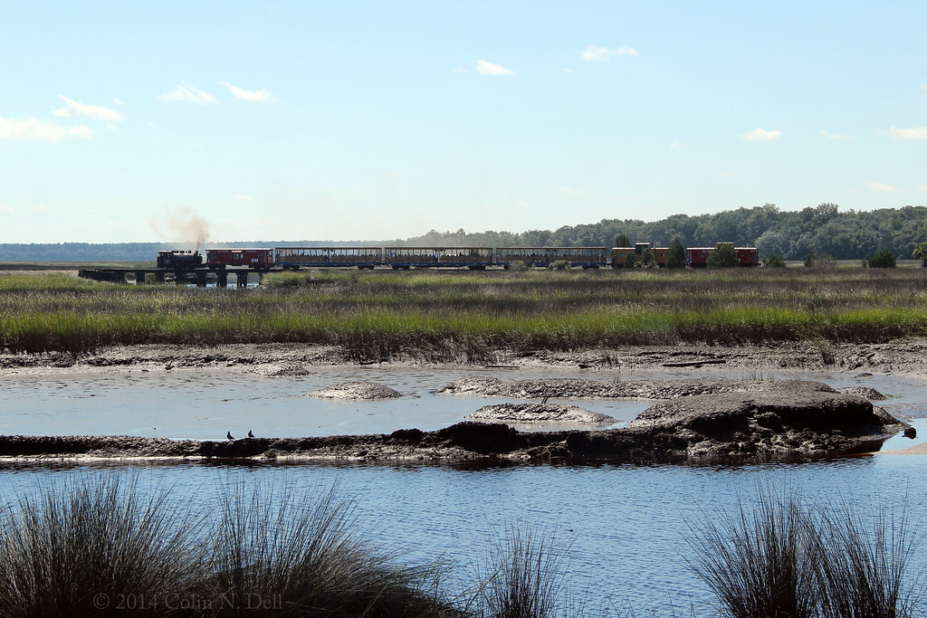
St Mary's Steam Express

Calm Morning IMG_8588

After Sunset_IMG_20141124_2511
Topographic Map of Old Still Rd, Woodbine, GA, USA
Find elevation by address:

Places near Old Still Rd, Woodbine, GA, USA:
104 Old Still Rd W
Ems Tower Rd, Woodbine, GA, USA
Brazell Road
Harrietts Bluff Rd, Woodbine, GA, USA
7525 Ocean Hwy
7525 Ocean Hwy
Sheffield Cemetery
64 Josephs Ct
US-17, Kingsland, GA, USA
Wildcat Boulevard
Wildcat Drive
378 Sheffield Island Rd
Kingsland
102 Pin Oak Ct
Pine Dr, Woodbine, GA, USA
Riley Hunter Dr, Kingsland, GA, USA
Cason Noah Drive
100 Woodhaven Dr
104 Sheffield St
116 Crestwood Ct
Recent Searches:
- Elevation of W Granada St, Tampa, FL, USA
- Elevation of Pykes Down, Ivybridge PL21 0BY, UK
- Elevation of Jalan Senandin, Lutong, Miri, Sarawak, Malaysia
- Elevation of Bilohirs'k
- Elevation of 30 Oak Lawn Dr, Barkhamsted, CT, USA
- Elevation of Luther Road, Luther Rd, Auburn, CA, USA
- Elevation of Unnamed Road, Respublika Severnaya Osetiya — Alaniya, Russia
- Elevation of Verkhny Fiagdon, North Ossetia–Alania Republic, Russia
- Elevation of F. Viola Hiway, San Rafael, Bulacan, Philippines
- Elevation of Herbage Dr, Gulfport, MS, USA