Elevation of Empire Rd, Dickinson, ND, USA
Location: United States > North Dakota > Stark County > Dickinson >
Longitude: -102.80589
Latitude: 46.890949
Elevation: 754m / 2474feet
Barometric Pressure: 93KPa
Elevation Map:
Satellite Map:
Related Photos:

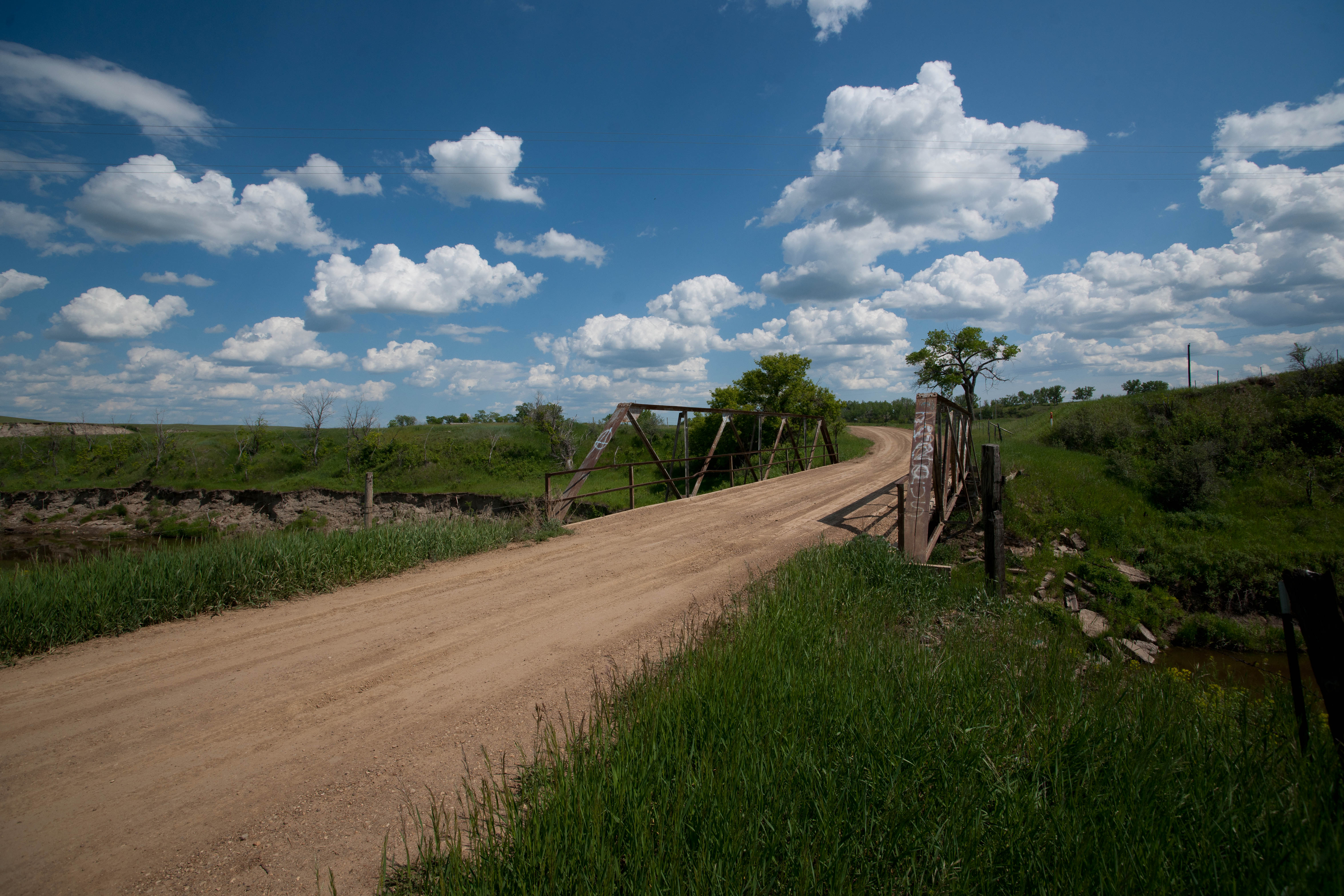
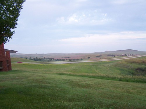
the road
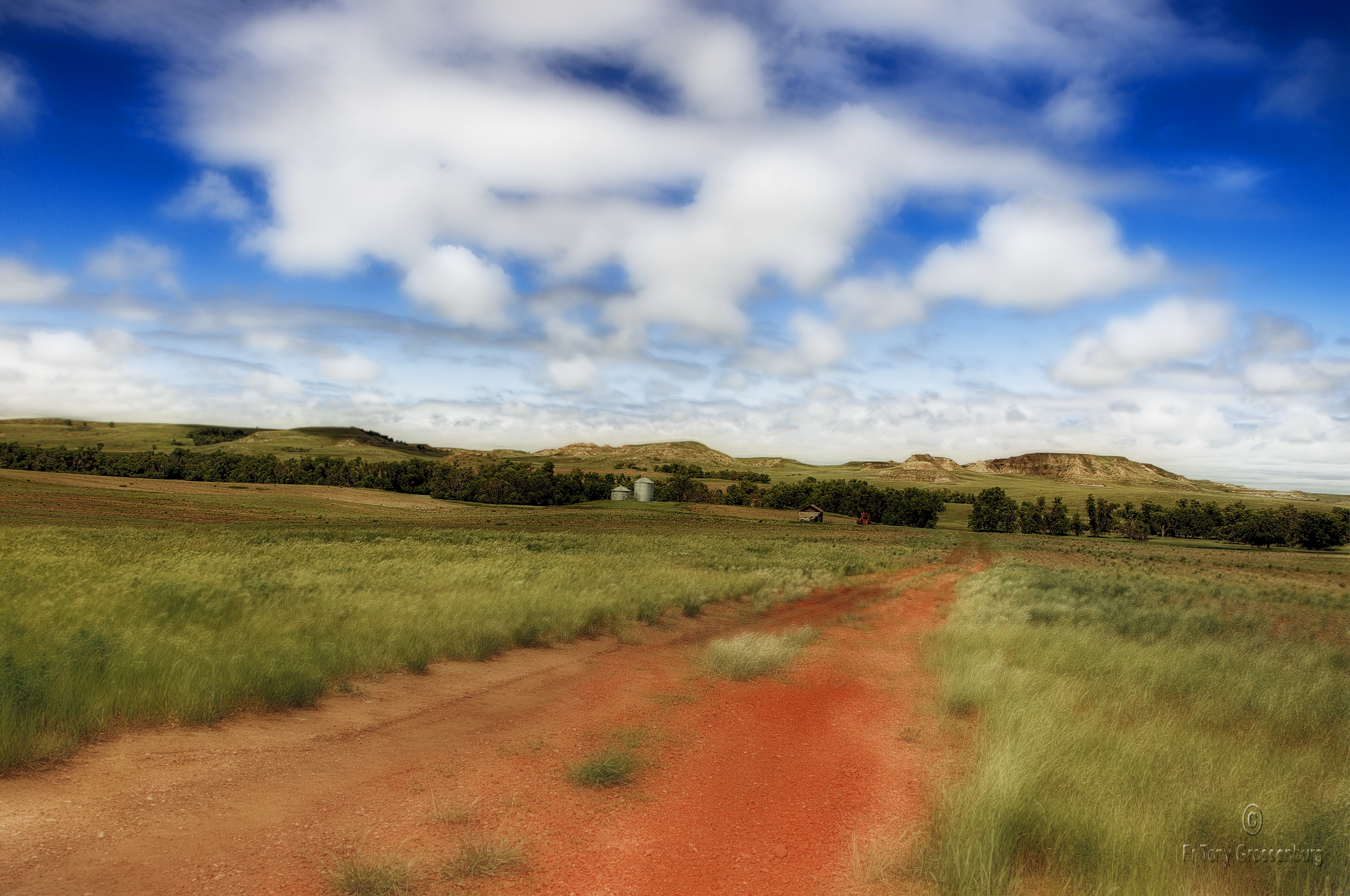
red road in ND

Roof line of the E145XR
Dickinson, ND
North Dakota
Lehigh, North Dakota
Lehigh, North Dakota
Lehigh, North Dakota
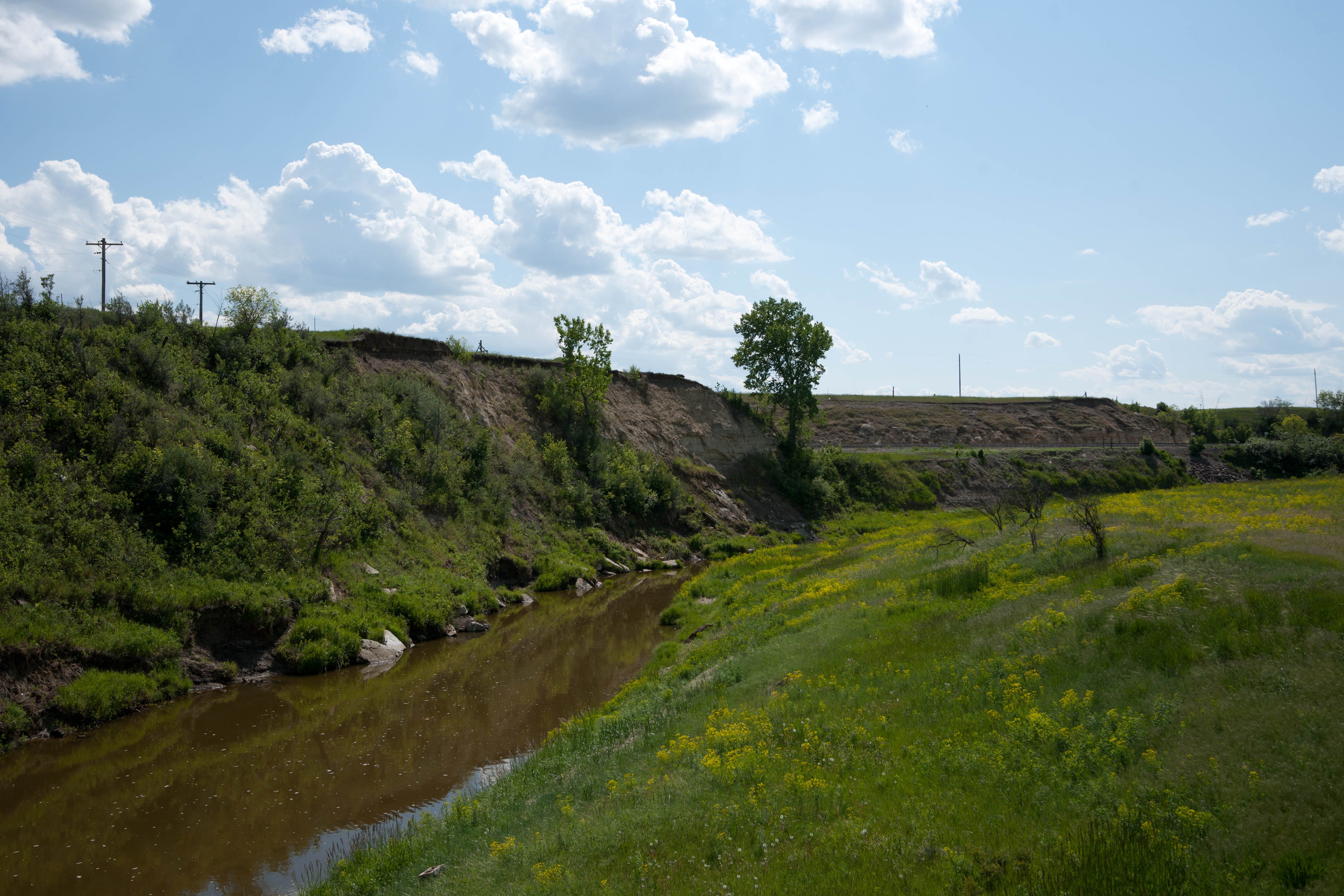
North Dakota
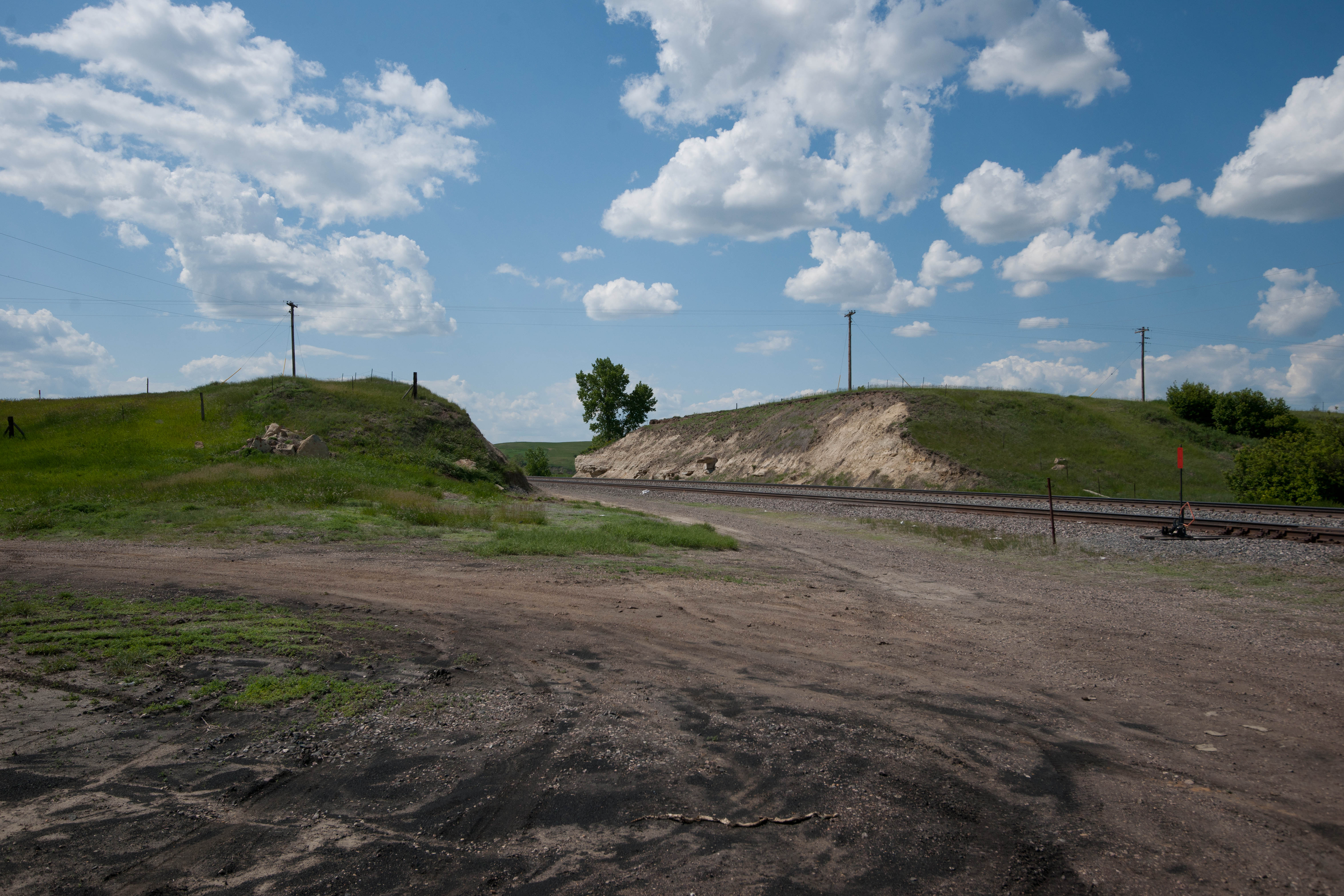
North Dakota
North Dakota
North Dakota
North Dakota
North Dakota
North Dakota
North Dakota

North Dakota
Topographic Map of Empire Rd, Dickinson, ND, USA
Find elevation by address:

Places near Empire Rd, Dickinson, ND, USA:
Dickinson
1st Avenue East
1st Avenue East
1st Avenue East
3rd Avenue East
4th Avenue East
4th Avenue East
4th Avenue East
13th Street East
North Park Campground
15th Avenue East
11471 Hwy 10 W
11126 30g St Sw
Dickinson North
11209 47th St Sw
West Stark
Dunn County
New England
3565 130th Ave Sw
3565 130th Ave Sw
Recent Searches:
- Elevation of Woodland Oak Pl, Thousand Oaks, CA, USA
- Elevation of Brownsdale Rd, Renfrew, PA, USA
- Elevation of Corcoran Ln, Suffolk, VA, USA
- Elevation of Mamala II, Sariaya, Quezon, Philippines
- Elevation of Sarangdanda, Nepal
- Elevation of 7 Waterfall Way, Tomball, TX, USA
- Elevation of SW 57th Ave, Portland, OR, USA
- Elevation of Crocker Dr, Vacaville, CA, USA
- Elevation of Pu Ngaol Community Meeting Hall, HWHM+3X7, Krong Saen Monourom, Cambodia
- Elevation of Royal Ontario Museum, Queens Park, Toronto, ON M5S 2C6, Canada