Elevation of Dickinson, ND, USA
Location: United States > North Dakota > Stark County >
Longitude: -102.78962
Latitude: 46.8791756
Elevation: 736m / 2415feet
Barometric Pressure: 93KPa
Elevation Map:
Satellite Map:
Related Photos:
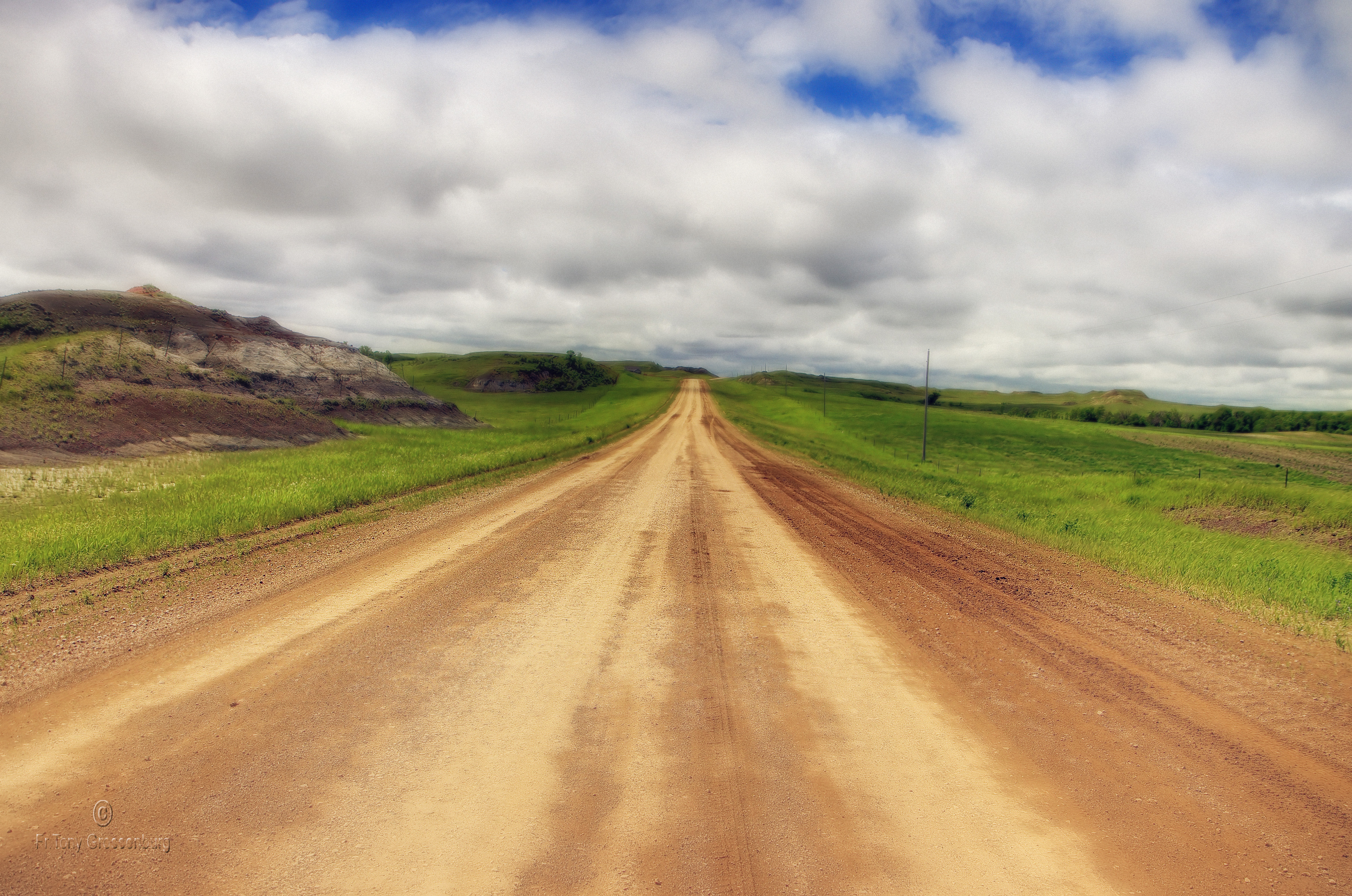
the road
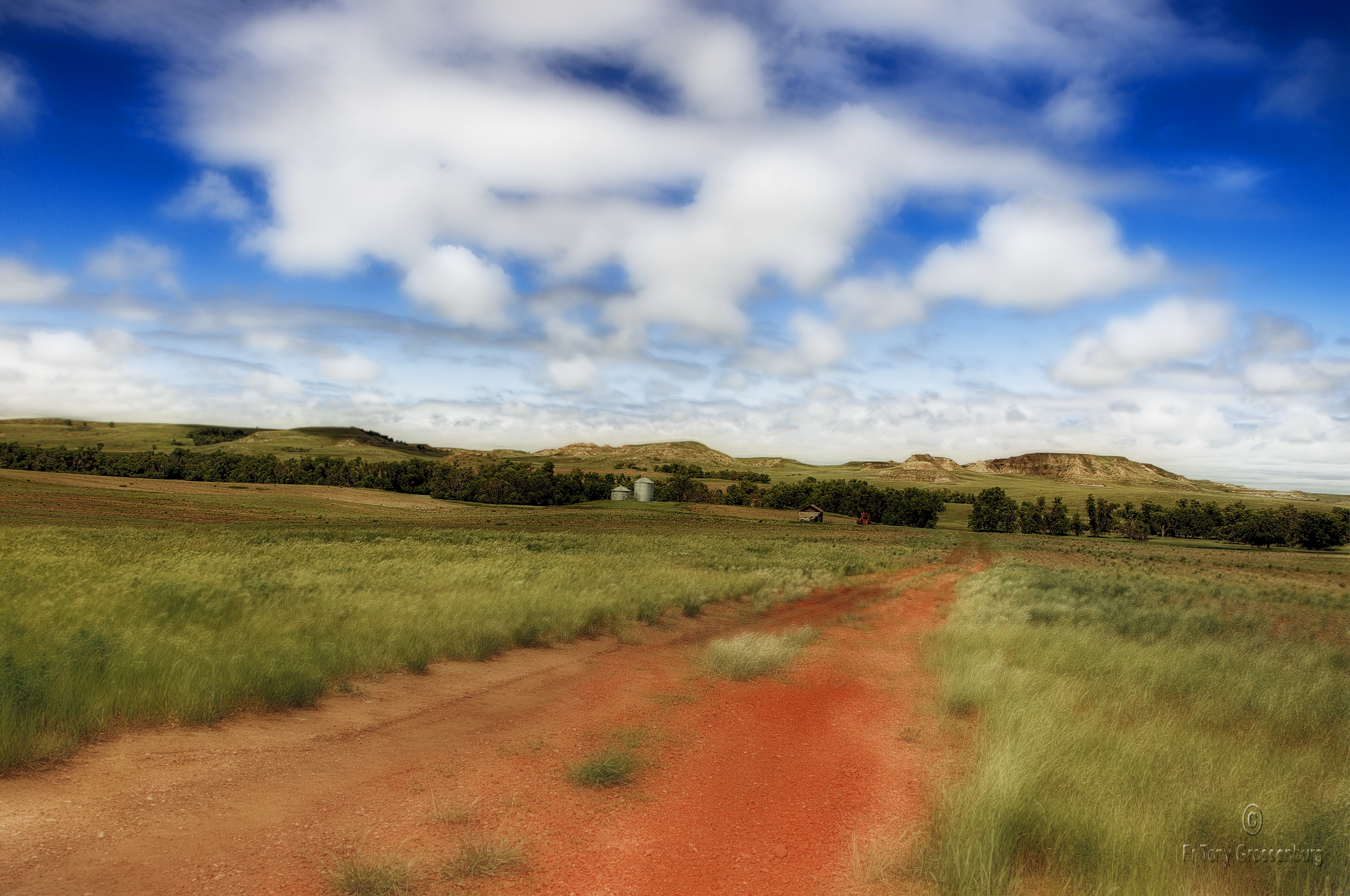
red road in ND
Topographic Map of Dickinson, ND, USA
Find elevation by address:

Places in Dickinson, ND, USA:
1st Avenue East
4th Avenue East
4th Avenue East
3rd Avenue East
15th Avenue East
13th Street East
1st Avenue East
1st Avenue East
4th Avenue East
Places near Dickinson, ND, USA:
3rd Avenue East
1st Avenue East
1st Avenue East
1st Avenue East
1334 Empire Rd
4th Avenue East
4th Avenue East
4th Avenue East
13th Street East
15th Avenue East
North Park Campground
Dickinson North
11471 Hwy 10 W
11126 30g St Sw
11209 47th St Sw
West Stark
Dunn County
New England
3565 130th Ave Sw
3565 130th Ave Sw
Recent Searches:
- Elevation of Corso Fratelli Cairoli, 35, Macerata MC, Italy
- Elevation of Tallevast Rd, Sarasota, FL, USA
- Elevation of 4th St E, Sonoma, CA, USA
- Elevation of Black Hollow Rd, Pennsdale, PA, USA
- Elevation of Oakland Ave, Williamsport, PA, USA
- Elevation of Pedrógão Grande, Portugal
- Elevation of Klee Dr, Martinsburg, WV, USA
- Elevation of Via Roma, Pieranica CR, Italy
- Elevation of Tavkvetili Mountain, Georgia
- Elevation of Hartfords Bluff Cir, Mt Pleasant, SC, USA