Elevation of Elma McCleary Rd, McCleary, WA, USA

Location: United States > Washington > Grays Harbor County > Mccleary >

Longitude: -123.31913

Latitude: 47.043195

Elevation: 56m / 184feet

Barometric Pressure: 101KPa

Elevation Map:

elevation map of Elma McCleary Rd, McCleary, WA, USA
Satellite Map:

Satellite map of Elma McCleary Rd, McCleary, WA, USA

Related Photos:

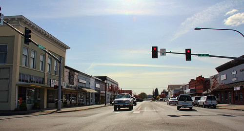
town washington community mainstreet downtown district business wa storefronts elma mappingmainstreet
Main Street Elma
uploaded:by=flicksquare foursquare:venue=4de29aeb1f6e3190cd143835 geo:lat=4697397375733042 geo:lon=12314731880743815
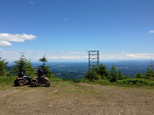
View from Rolling Thunder 1 cache
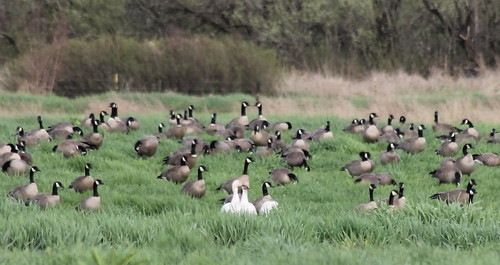
snowgoose ansercaerulescens chencaerulescens cacklinggoose brantahutchinsii cackler brantahutchinsiiminima
IMG_4273 Cacklers and Snow Geese
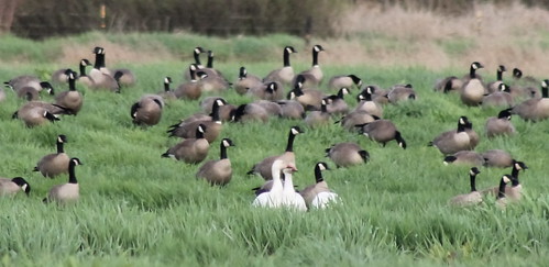
snowgoose ansercaerulescens chencaerulescens cacklinggoose brantahutchinsii cackler brantahutchinsiiminima tavernerscacklinggoose
IMG_4274 Snow Geese and Cacklers
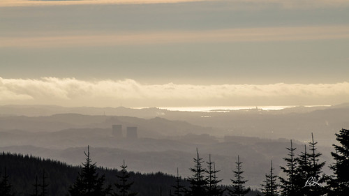
nuclearpower capitolpeak w7wrg graysharbor capitolforest wppss 2016 hamwaninstall hamradio olympia washington unitedstates us
Nuclear View
uploaded:by=flicksquare foursquare:venue=4de29aeb1f6e3190cd143835 geo:lat=4697397375733042 geo:lon=12314731880743815
View from Rolling Thunder 1 cache
life seattle street camera new leica old city light people usa white black look car contrast truck dark lens observation person see washington construction paint downtown noir fuji view traffic spirit pavement politics watch crowd dream documentary machine police social noflash sidewalk uptown identity vision human destination imagination civic metropolis isolation conversation moment cracks noise obscured attention curb markings threat opinion refection blacktop aware physical assessment decisive inorganic definitive streetshooter xpro1 devtank irq506
20120818.STSP.JO©.063
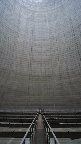
park plant industry monument monster architecture concrete idea construction silent power view humanity empty wide large nuclear panoramic stack business national future homer infrastructure vista unfinished layers diffusion lush visual atomic functional immense redundant 76 incomplete cooling simson satsop hydrothermal vacuous envision vacate megawatt streetshooter devtank irq506
20120818.STSP.JO©.052
acme pontoons satsop
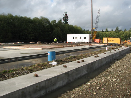
Satsop testing site
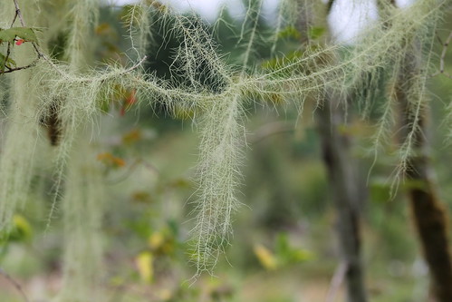
lichen usnea longissima usnealongissima methuselahsbeard schaferstatepark dolichousnea dolichousnealongissima
IMG_1451 Usnea longissima
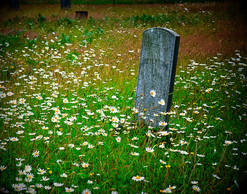
flowers summer usa flower color art nature overgrown cemetery grass daisies rural cool weeds colorful nw mood headstone july sharon pacificnorthwest grasses washingtonstate pnw damp sentiment dandelions 2011 schnoor simplelogic graysharborcounty southbankroad mrwitsman tooheavyonthevignetteasyoucansee processedforadarkmatte
Sharon Cemetery . mr. witsman
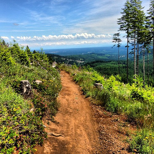
geocaching mountainbiking capitolpeak capitolstateforest
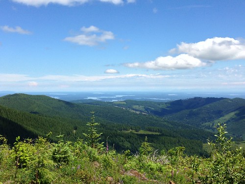
View from Capitol Peak
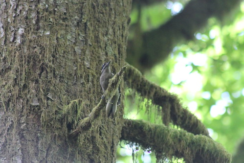
hairywoodpecker picoidesvillosus picoides villosus schaferstatepark
IMG_1461 Hairy Woodpecker
usa washington unitedstates biking mountainbiking capitalforest greenline6
View From Greenline #6
geocaching mountainbiking capitolpeak capitolstateforest
View from Capitol Peak
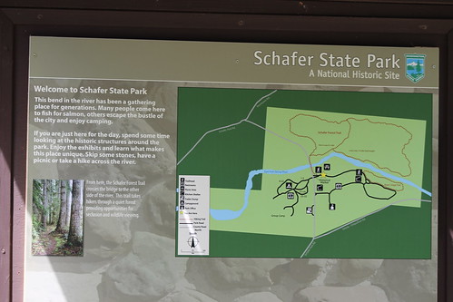
schaferstatepark
IMG_1467 Schafer Park
usa washington unitedstates biking mountainbiking capitalforest greenline6
View From Greenline #6
usa washington unitedstates biking mountainbiking capitalforest greenline6
Capital Forest View Capital Forest Panoramic From Green Line #6
usa washington unitedstates biking mountainbiking capitalforest greenline6
View From Greenline #6
usa washington unitedstates biking mountainbiking capitalforest greenline6
Capital Forest View Capital Forest Panoramic From Green Line #6
november sun earthquake fault elma satsop vancecreek
Reeling in the Gold
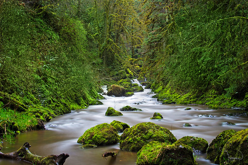
longexposure trees green water creek canon river rapids le pnw t4i kennedycreek 1riverat matthewreichel
Kennedy Creek
sky clouds river washington nuclear coolingtowers satsop satsopriver satsopnuclearpowerplant
Nuclear Nature
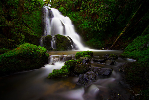
longexposure green water creek canon waterfall stream wideangle tokina hidden le lee lush ferns washingtonstate pnw gem t4i 10stop 1riverat matthewreichel
A Gem of A Waterfall
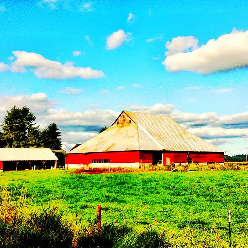
square squareformat iphoneography instagramapp uploaded:by=instagram foursquare:venue=4c3d0dfe15cb1b8d59857bdc
#washington #clouds #scenic #barns #old #driving #hiking
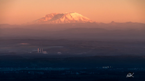
cascades hamwaninstall mtsthelens w7wrg capitolforest pnw 2016 capitolpeak cascademountains hamradio olympia washington unitedstates us
Volcano in the distance
Looks b/ w but isn't. Snowing again.
Hoodsport to Aberdeen, WA
usa washington unitedstates biking mountainbiking capitalforest quackhack mimaporter mosstunnel
Moss Tunnel On Mima Porter Trail
statepark usa creek washington unitedstates capitalforest mimaporter
Creek On The Mima Porter Trail
usa washington unitedstates biking mountainbiking capitalforest quackhack mimaporter
Moss Covered Trees
Hoodsport to Aberdeen, WA
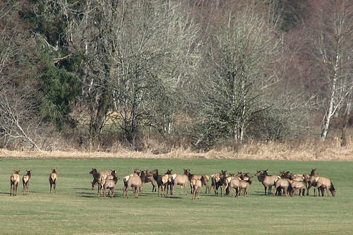
herd elks mccleary kamileche skoookumcreek
Elks gathering
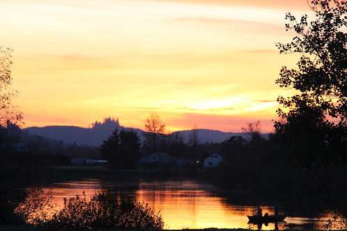
sunset iso100 washington satsop chehalisriver 1024mmf3545 nikond7000
Day's End
Hoodsport to Aberdeen, WA
sky panorama reflection clouds river washington nuclear panoramic stitched coolingtowers satsop satsopriver satsopnuclearpowerplant
Satsop River Mirroring Action
usa mountain mountains washington unitedstates mountrainier biking mountainbiking capitalforest
Looking Towards Mount Rainier
Mt Molly Porter and Trail 30 intersection
mountain mountains airplane flying washington unitedstates mountrainier cascademountains mccleary
Mount Rainier From The Air
usa washington unitedstates moses biking mountainbiking capitalforest quackhack mimaporter
Mima Porter Trail
Simple Panorama
usa mountain mountains washington unitedstates mountrainier biking mountainbiking capitalforest
Looking Towards Mount Rainier