Elevation of 9 Stillson Rd, McCleary, WA, USA
Location: United States > Washington > Grays Harbor County > Mccleary >
Longitude: -123.30853
Latitude: 47.0515778
Elevation: 65m / 213feet
Barometric Pressure: 101KPa
Elevation Map:
Satellite Map:
Related Photos:
20120818.STSP.JO©.063
20120818.STSP.JO©.052
Tripple-icious
Satsop testing site
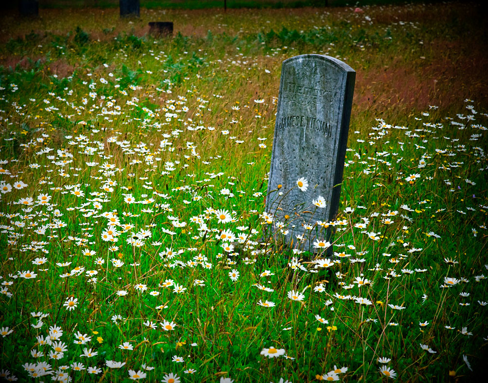
Sharon Cemetery . mr. witsman
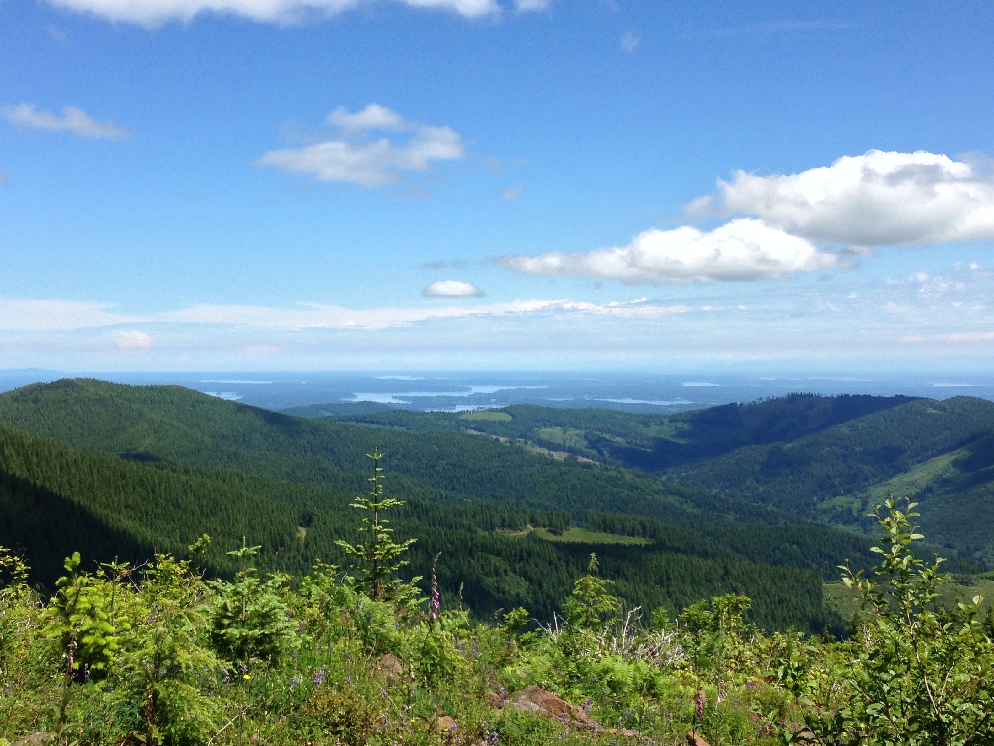
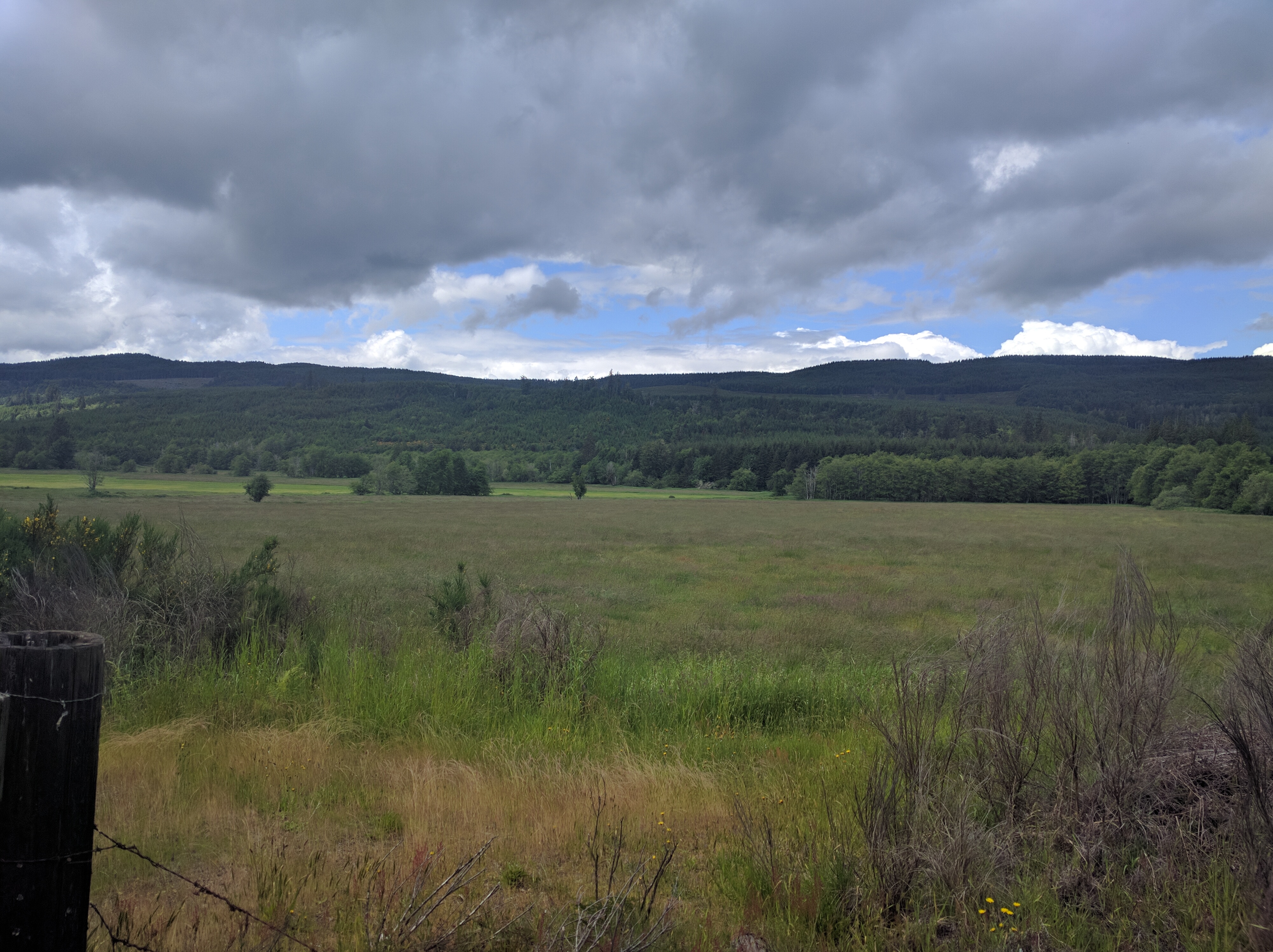
View from Capitol Peak
View West Along Capitol Peak Rd
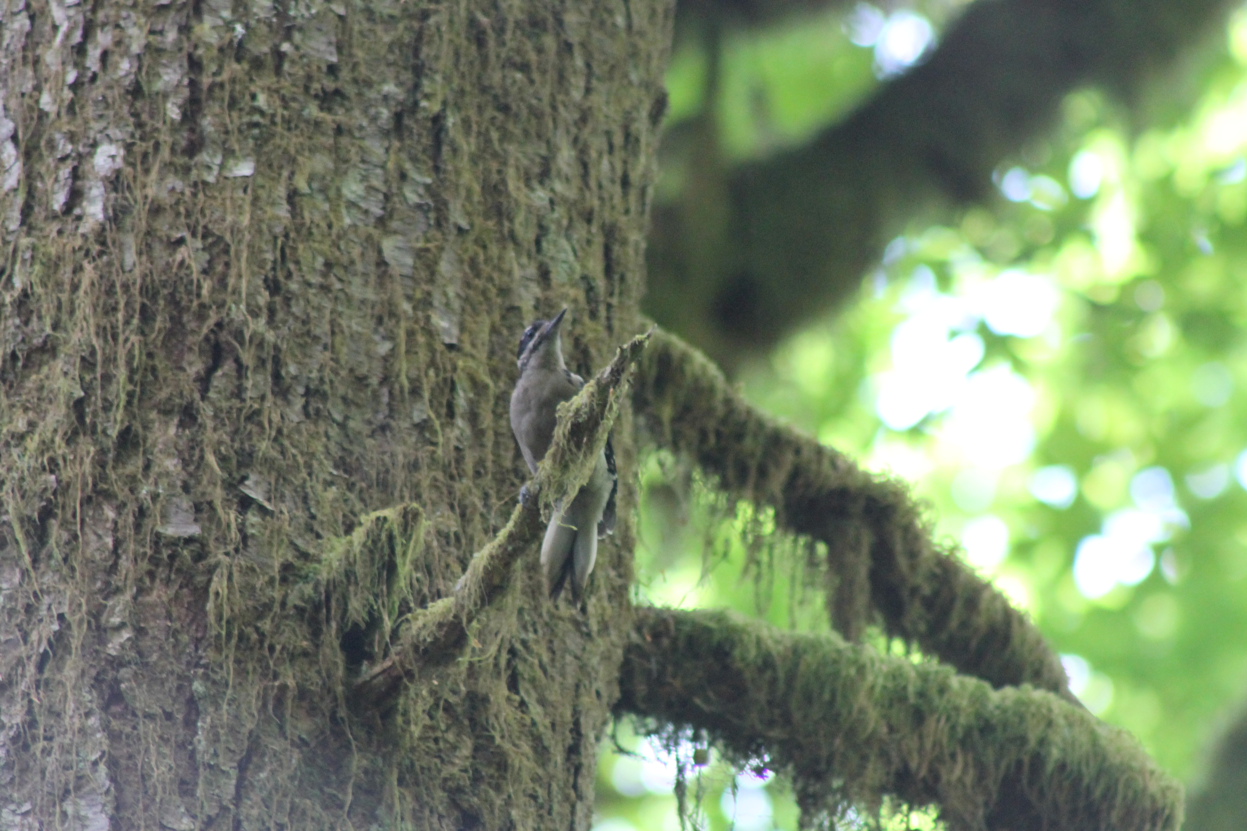
IMG_1461 Hairy Woodpecker
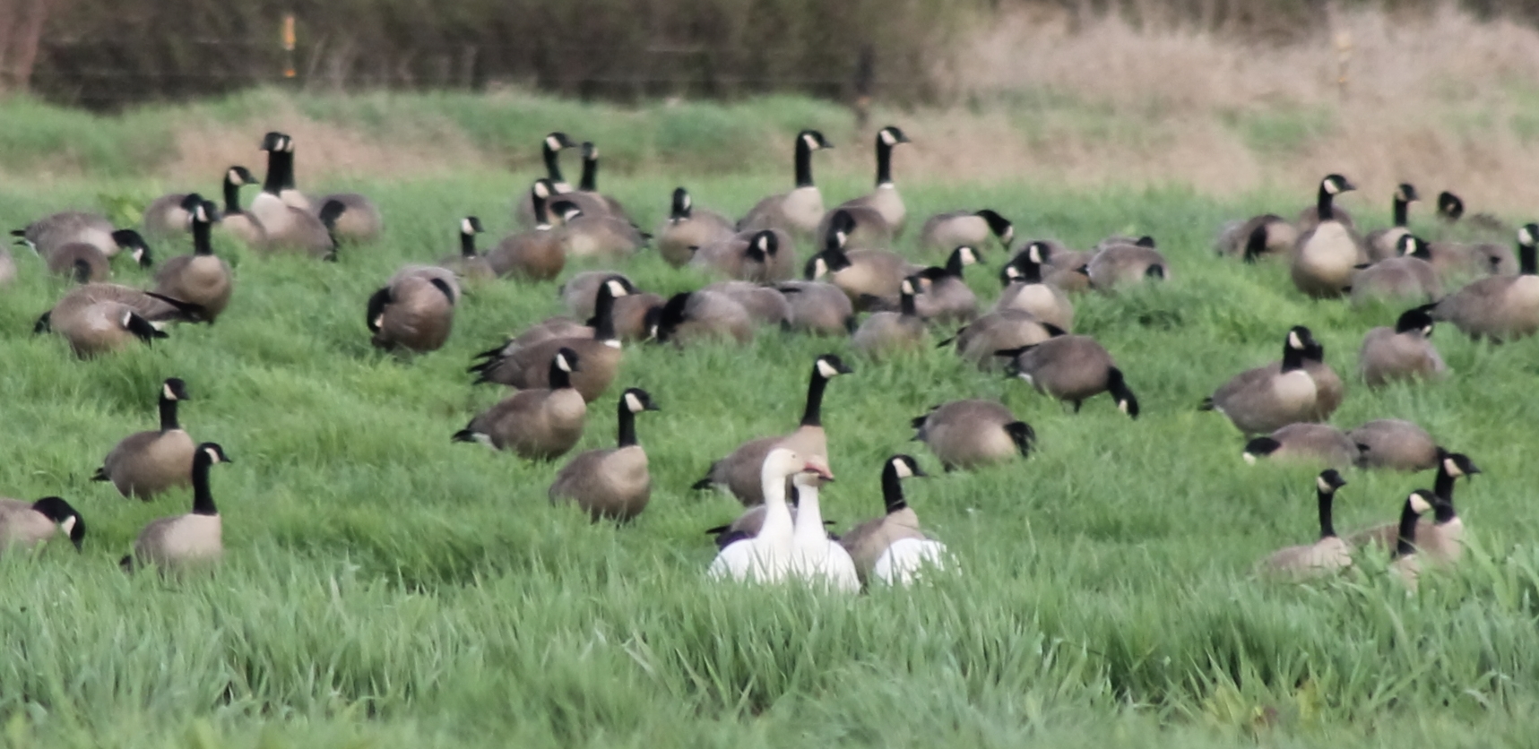
IMG_4274 Snow Geese and Cacklers
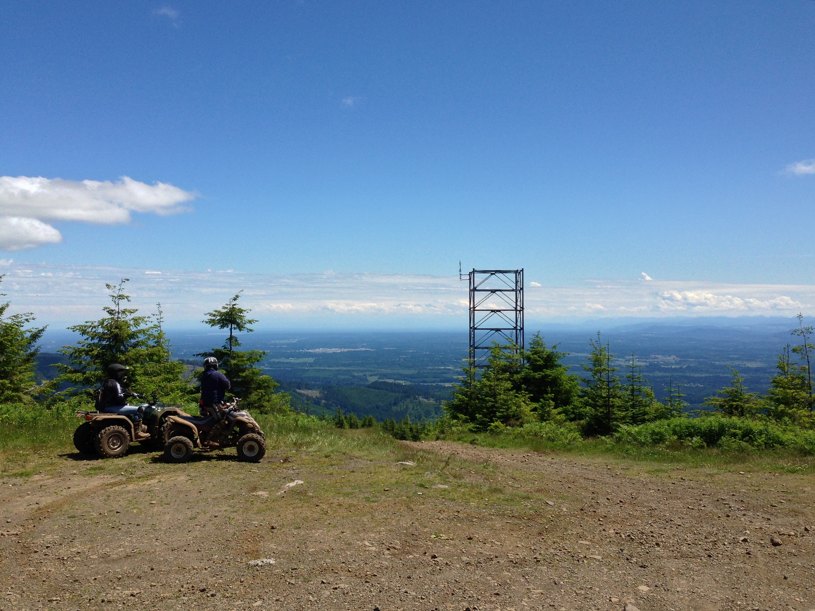
View from Capitol Peak

View From Greenline #6

Capital Forest View Capital Forest Panoramic From Green Line #6
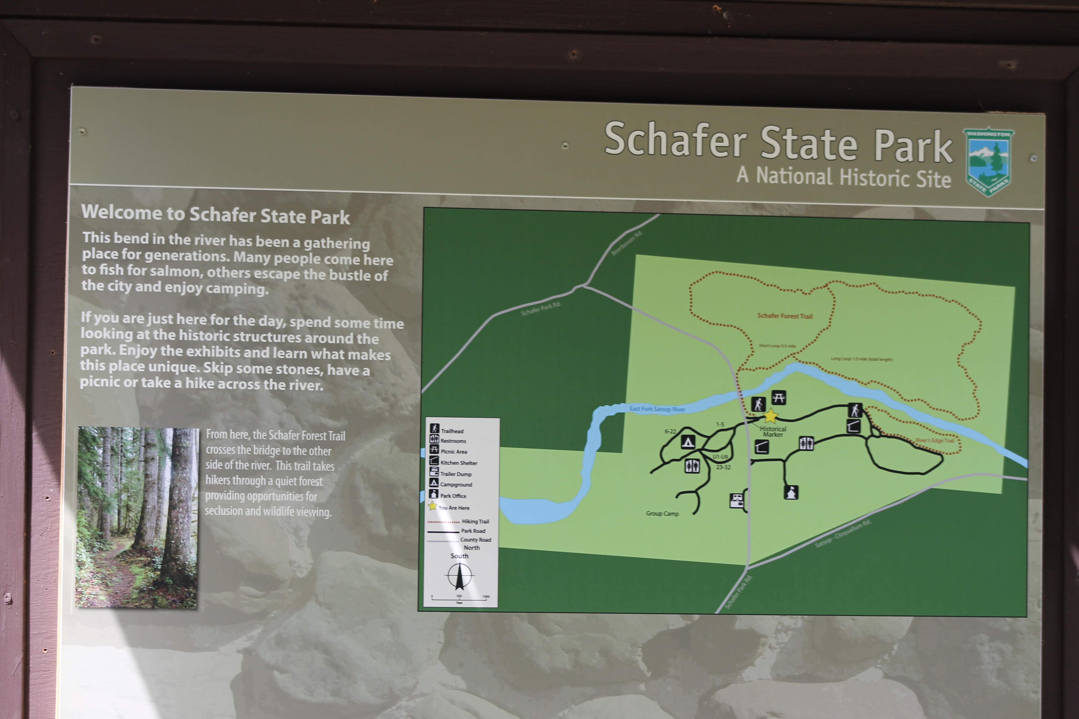
IMG_1467 Schafer Park

Capital Forest View Capital Forest Panoramic From Green Line #6

View From Greenline #6
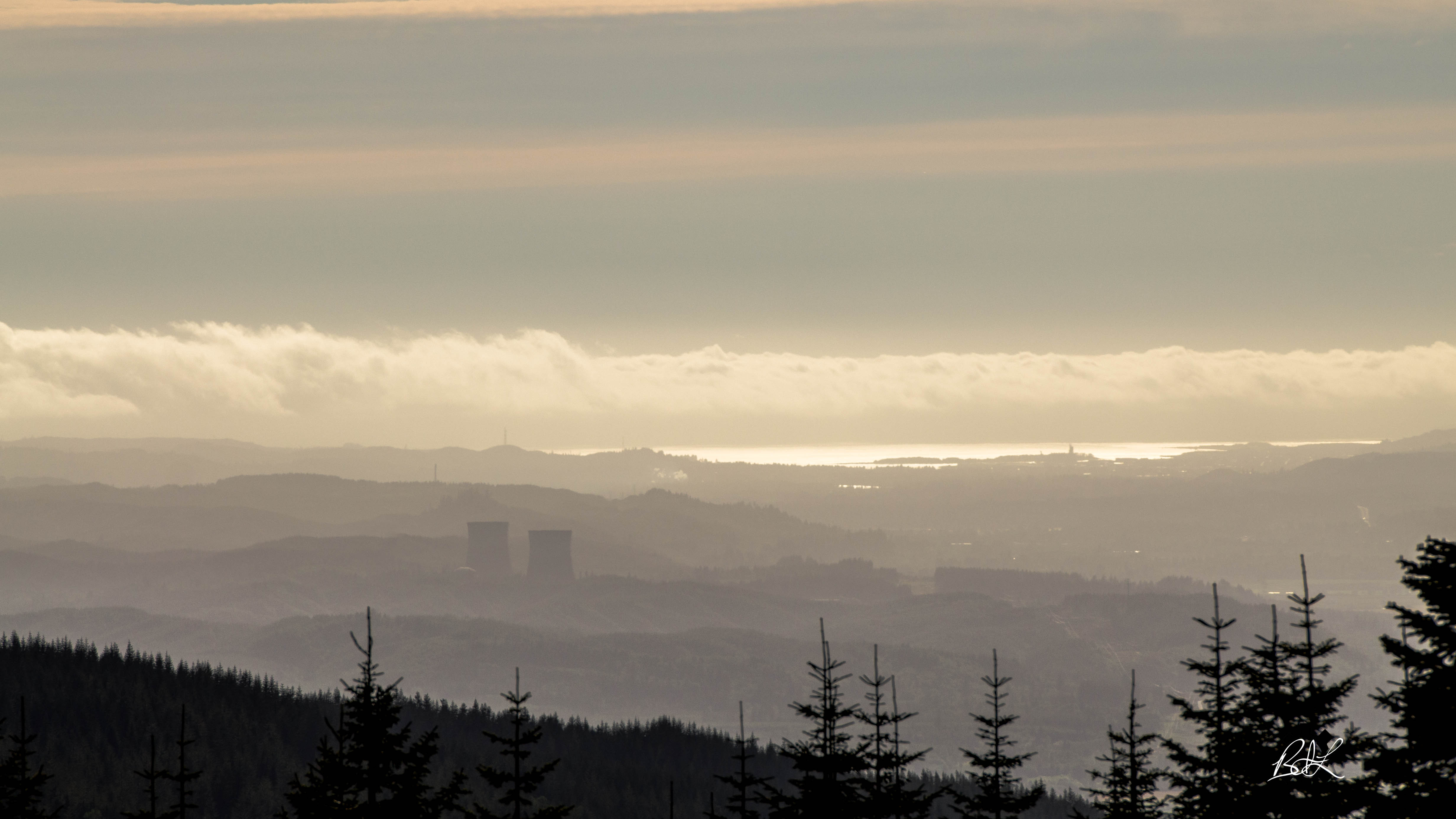
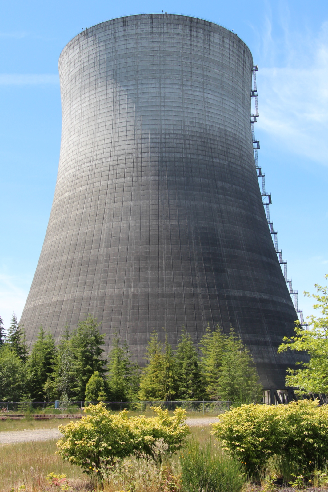
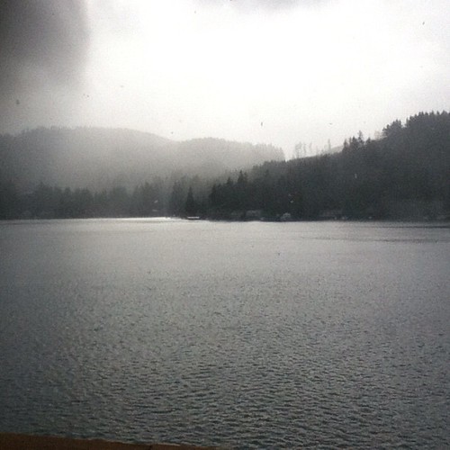
Nuclear View

IMG_0343 Townsend's Solitaire - Myadestes townsendi
View from our deck
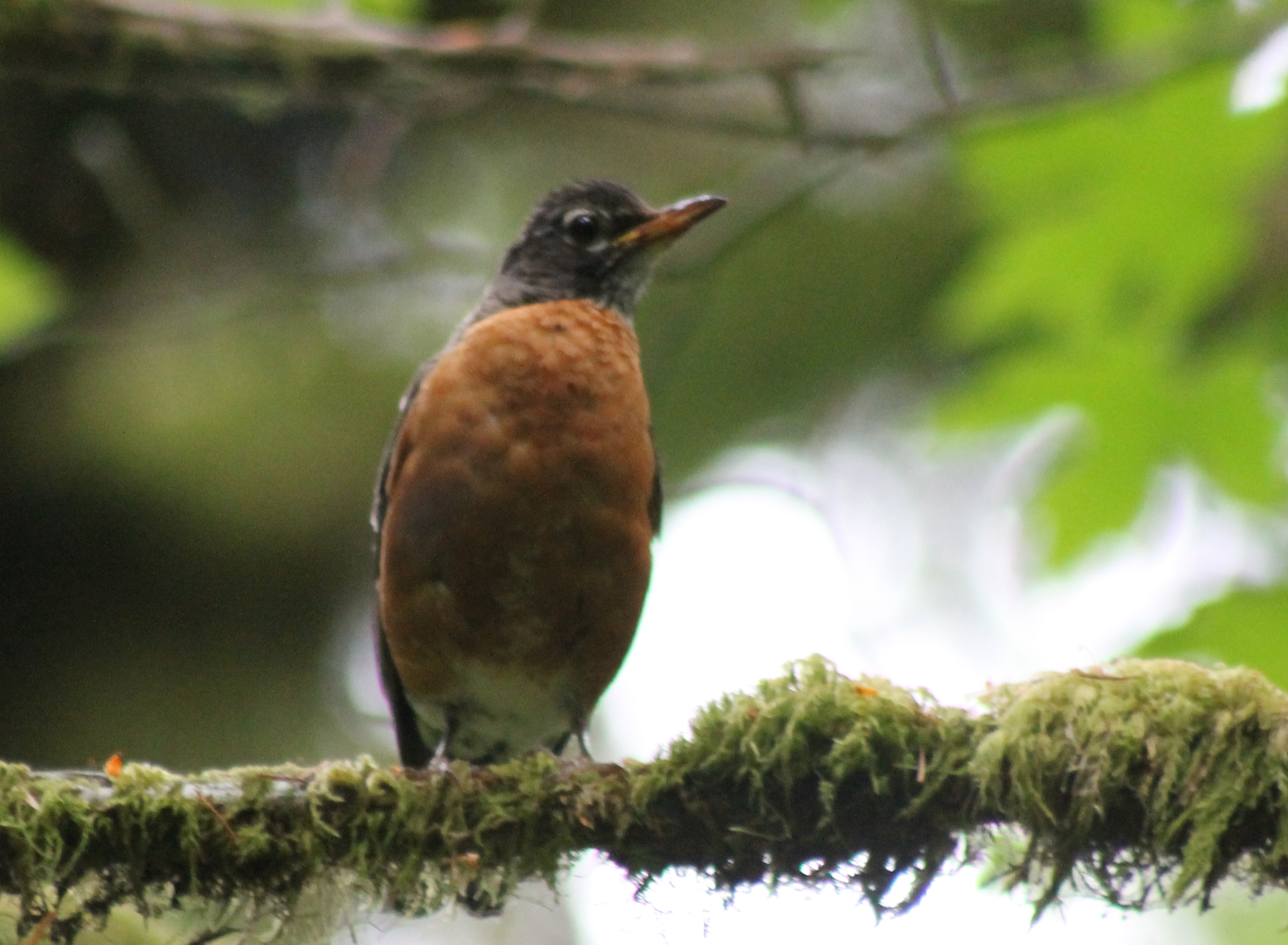
IMG_8263 American robin - Turdus migratorius
Another View
View from Rolling Thunder 1 cache
Kennedy Creek
Summit Lake
Summit Lake
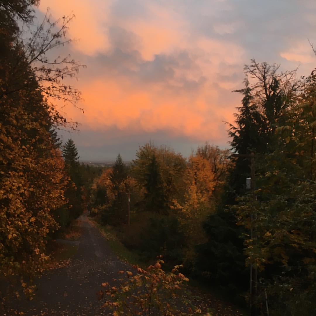
#washington #clouds #scenic #barns #old #driving #hiking
Looks b/ w but isn't. Snowing again.

AWB at Green Diamond Resources
Nuclear Nature

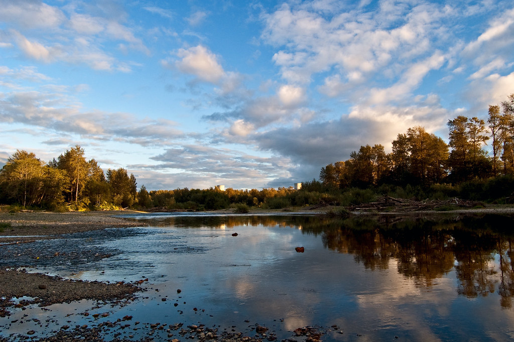
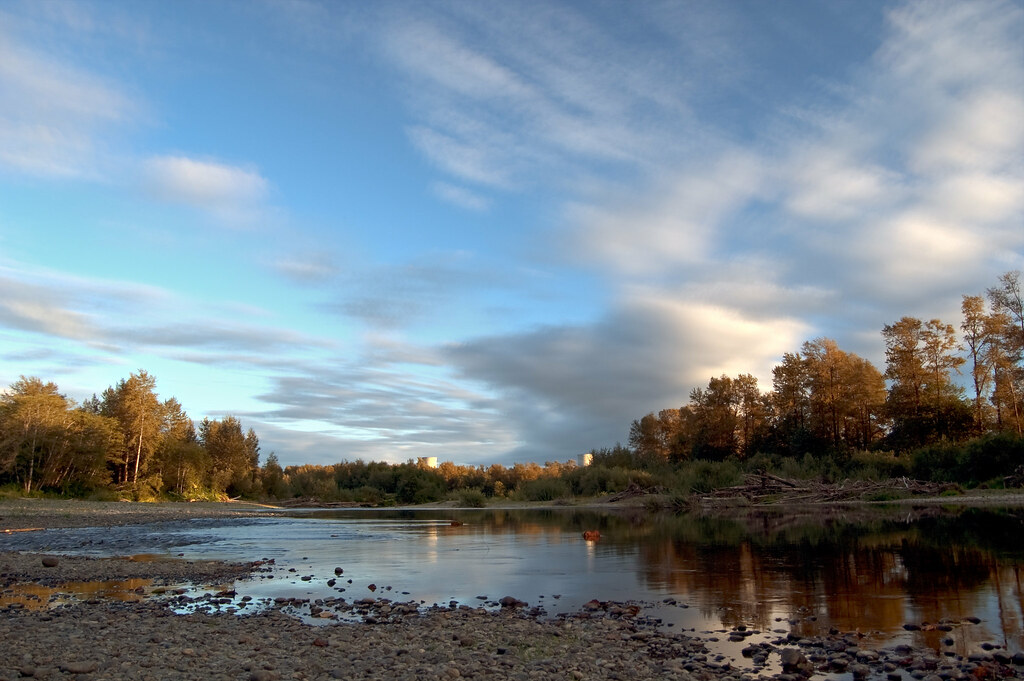
Hoodsport to Aberdeen, WA
The Two Towers

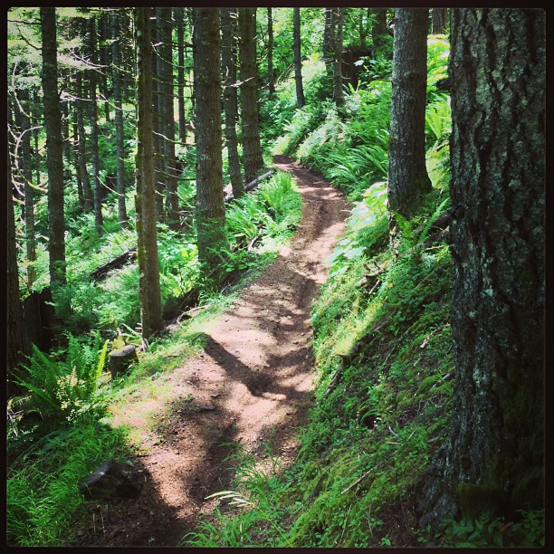
Mima Porter Trail

Moss Tunnel On Mima Porter Trail

Creek On The Mima Porter Trail
Hoodsport to Aberdeen, WA
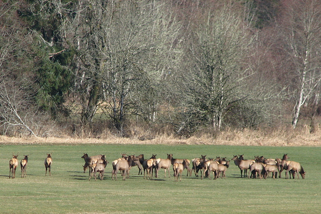
Elks gathering

Hoodsport to Aberdeen, WA
Old Tree

Moss Covered Trees

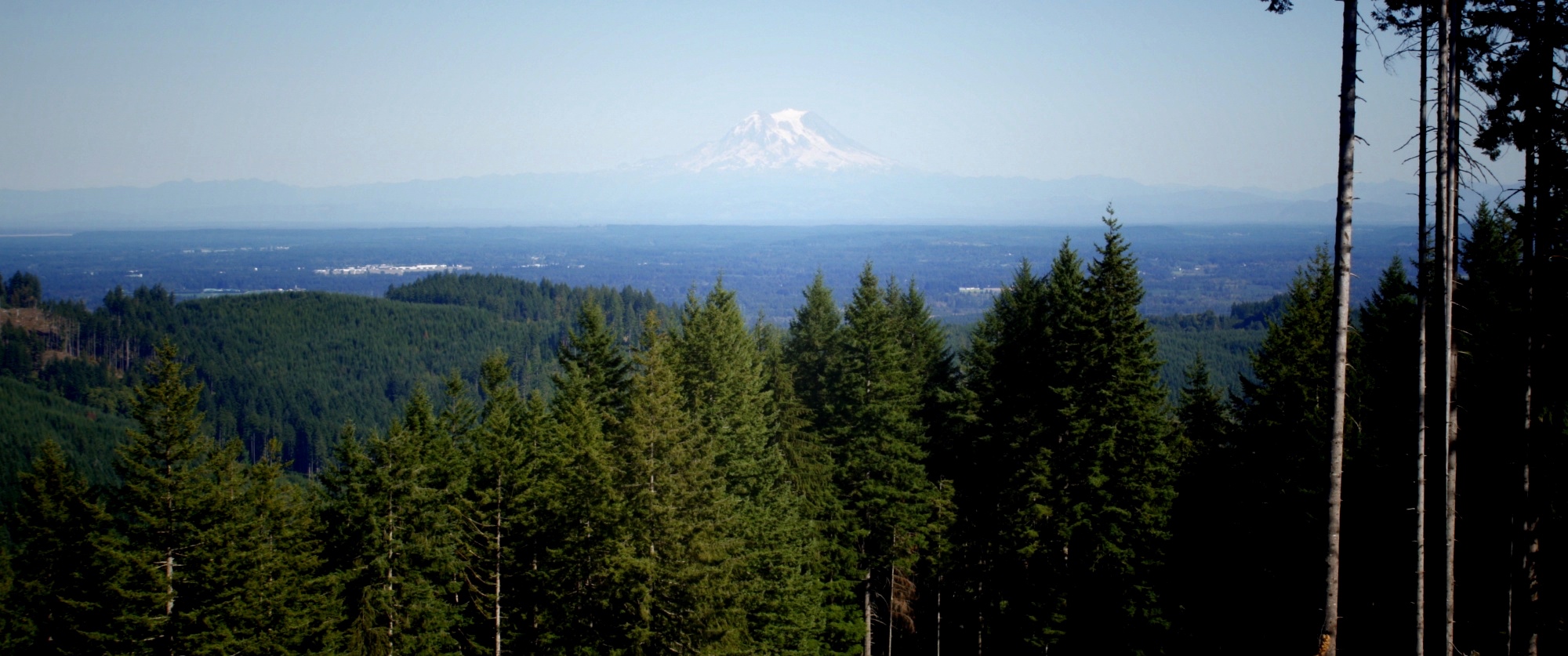
Looking Towards Mount Rainier
Simple Panorama

Mt Molly Porter and Trail 30 intersection

Mount Rainier
Topographic Map of 9 Stillson Rd, McCleary, WA, USA
Find elevation by address:

Places near 9 Stillson Rd, McCleary, WA, USA:
618 Elma Mccleary Rd
234 N Sand Creek Rd
24 Overlake Ln
Mccleary Cemetery
McCleary, WA, USA
419 W Oak St
Mccleary
657 West Camas Court
190 Wildcat Dr
29 Evans Ln
115 Powers Creek Rd
195 Mccleary Rd
215 Malone Hill Rd
215 Malone Hill Rd
N Blockhouse Rd, Elma, WA, USA
W State Route Rte, Shelton, WA, USA
Porter
13 Porter Creek Rd, Elma, WA, USA
Main Street
911 Summit Lake Shore Rd Nw
Recent Searches:
- Elevation of Elwyn Dr, Roanoke Rapids, NC, USA
- Elevation of Congressional Dr, Stevensville, MD, USA
- Elevation of Bellview Rd, McLean, VA, USA
- Elevation of Stage Island Rd, Chatham, MA, USA
- Elevation of Shibuya Scramble Crossing, 21 Udagawacho, Shibuya City, Tokyo -, Japan
- Elevation of Jadagoniai, Kaunas District Municipality, Lithuania
- Elevation of Pagonija rock, Kranto 7-oji g. 8"N, Kaunas, Lithuania
- Elevation of Co Rd 87, Jamestown, CO, USA
- Elevation of Tenjo, Cundinamarca, Colombia
- Elevation of Côte-des-Neiges, Montreal, QC H4A 3J6, Canada