Elevation of McCleary Rd, McCleary, WA, USA
Location: United States > Washington > Grays Harbor County > Mccleary >
Longitude: -123.24982
Latitude: 47.0461829
Elevation: 100m / 328feet
Barometric Pressure: 100KPa
Elevation Map:
Satellite Map:
Related Photos:
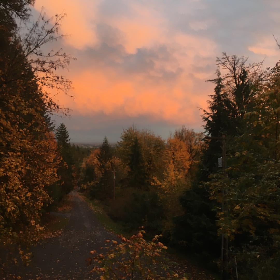
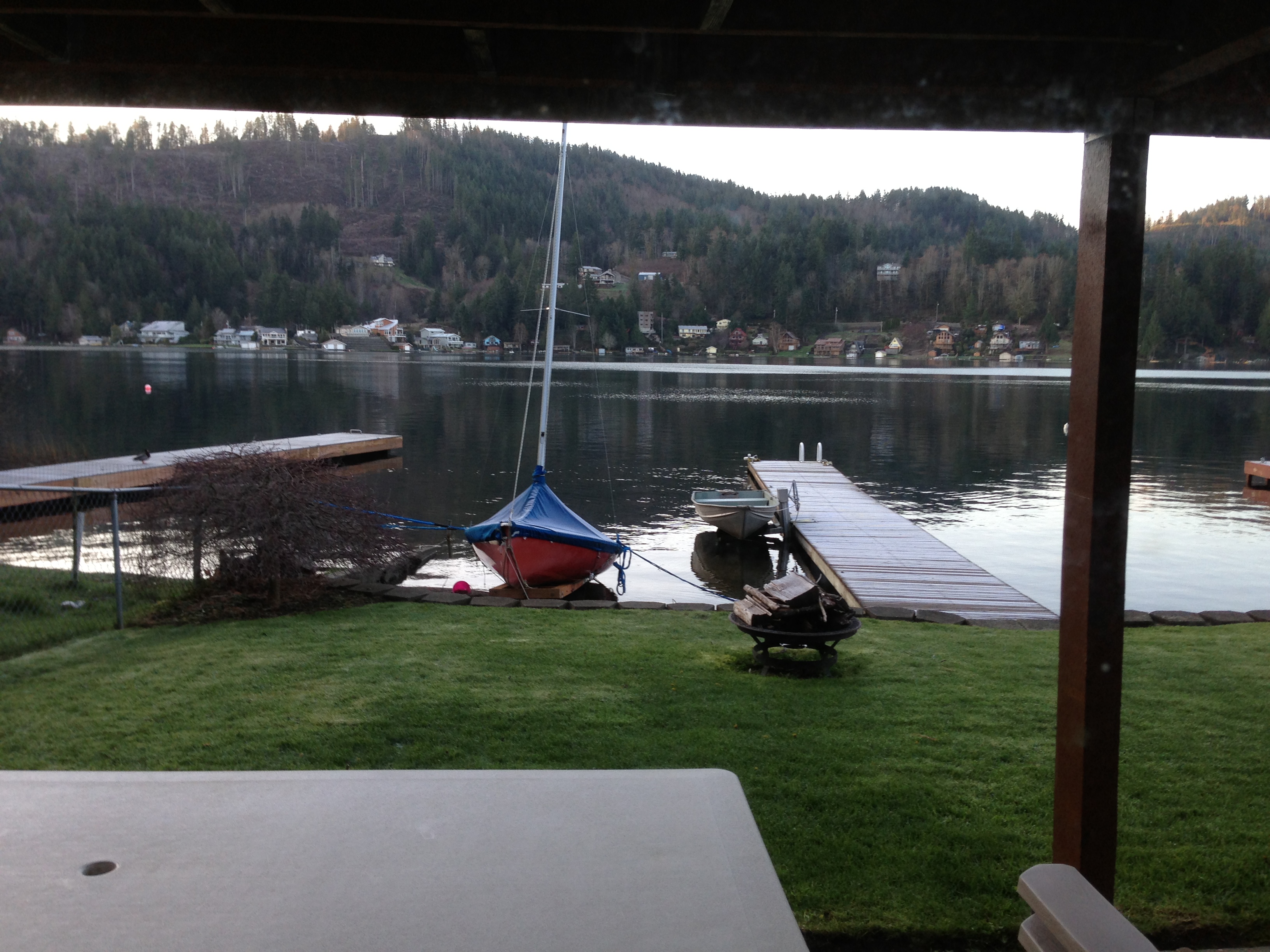
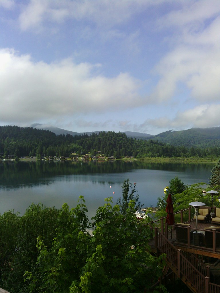
View from our deck
Tripple-icious
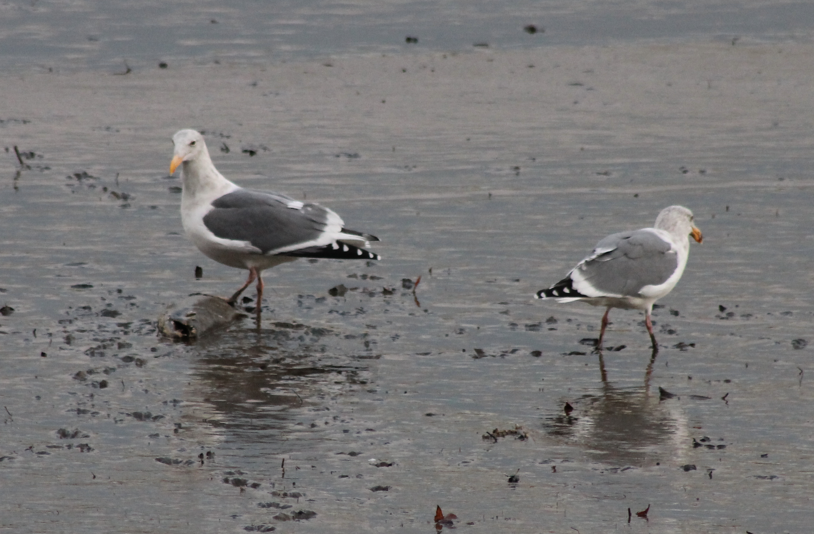
IMG_6145 Kennedy Creek gulls and chum

MexiGo in View

Sharon Cemetery . mr. witsman
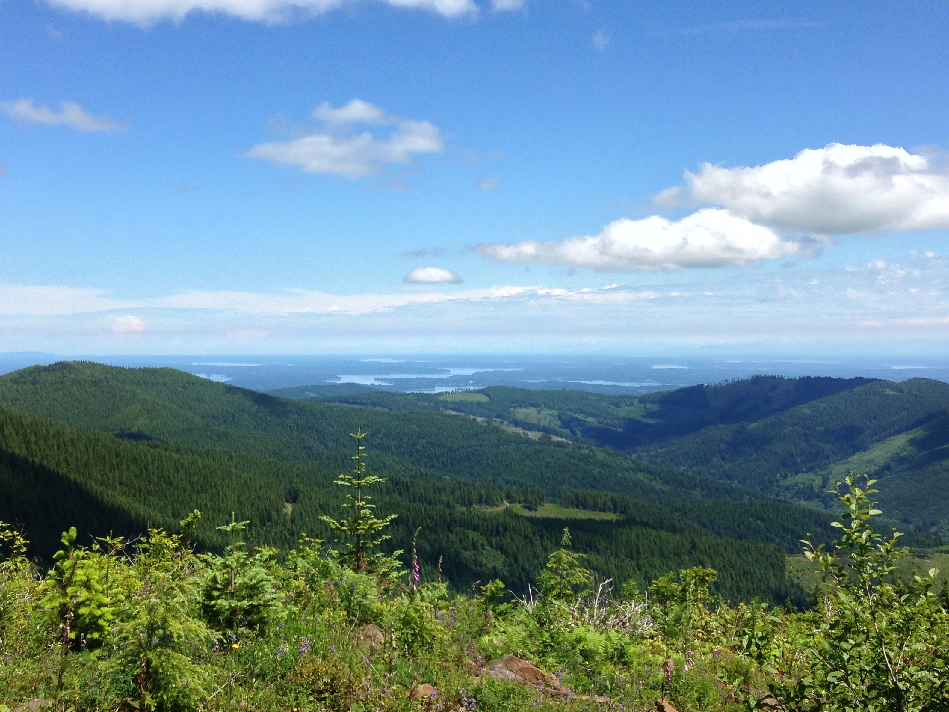
View from Capitol Peak
View West Along Capitol Peak Rd
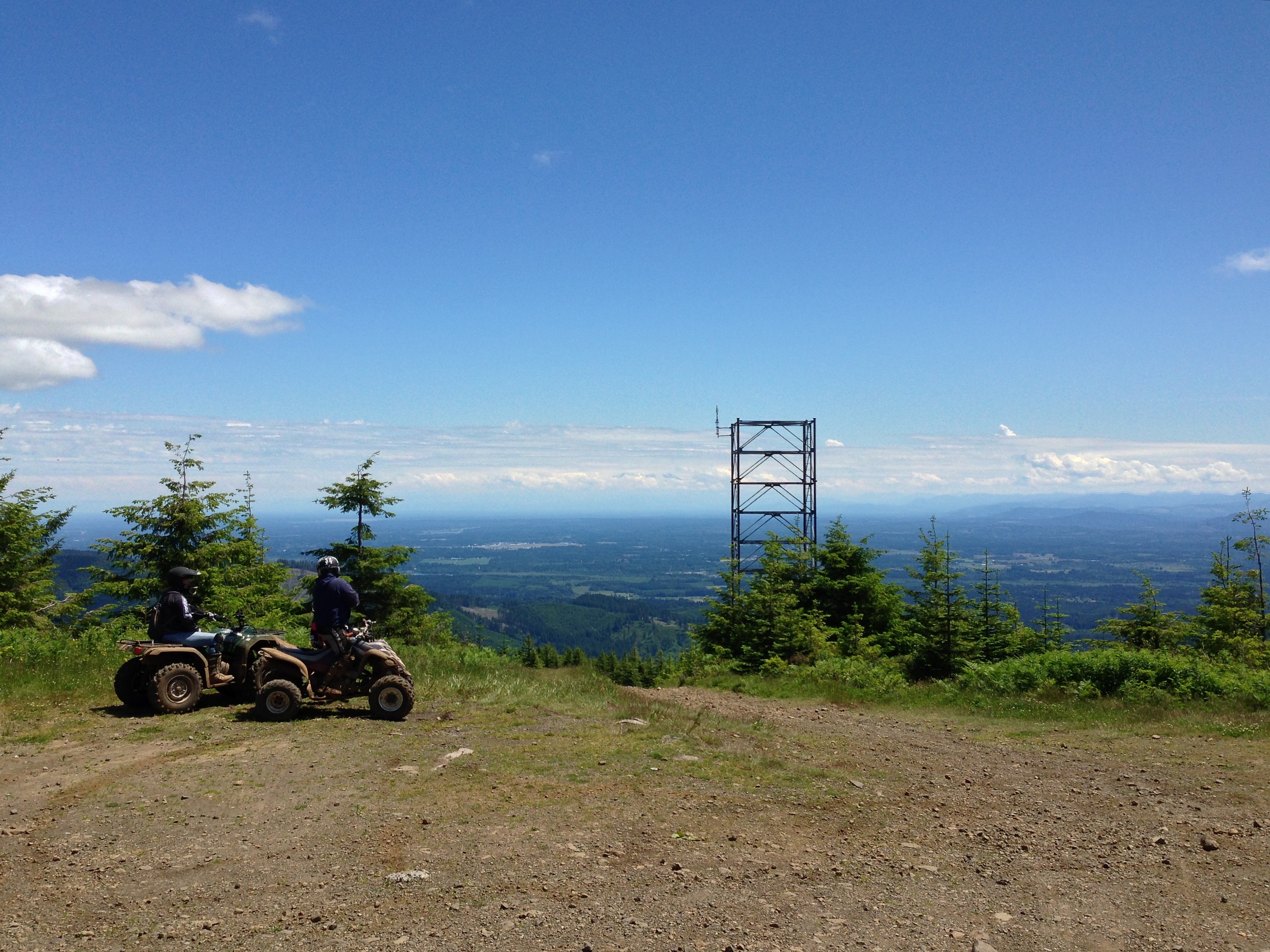
View from Capitol Peak

View From Greenline #6

Capital Forest View Capital Forest Panoramic From Green Line #6

Capital Forest View Capital Forest Panoramic From Green Line #6

View From Greenline #6
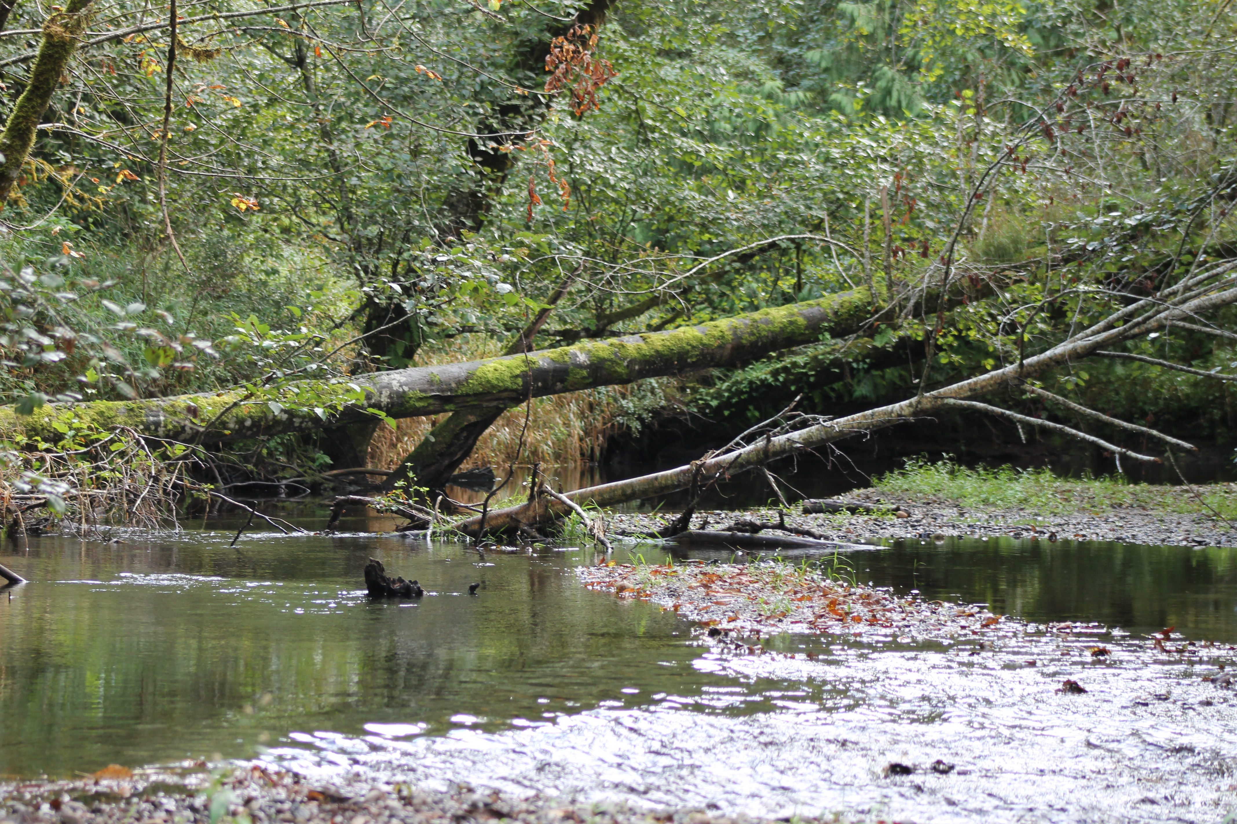
IMG_2093 Kennedy Creek
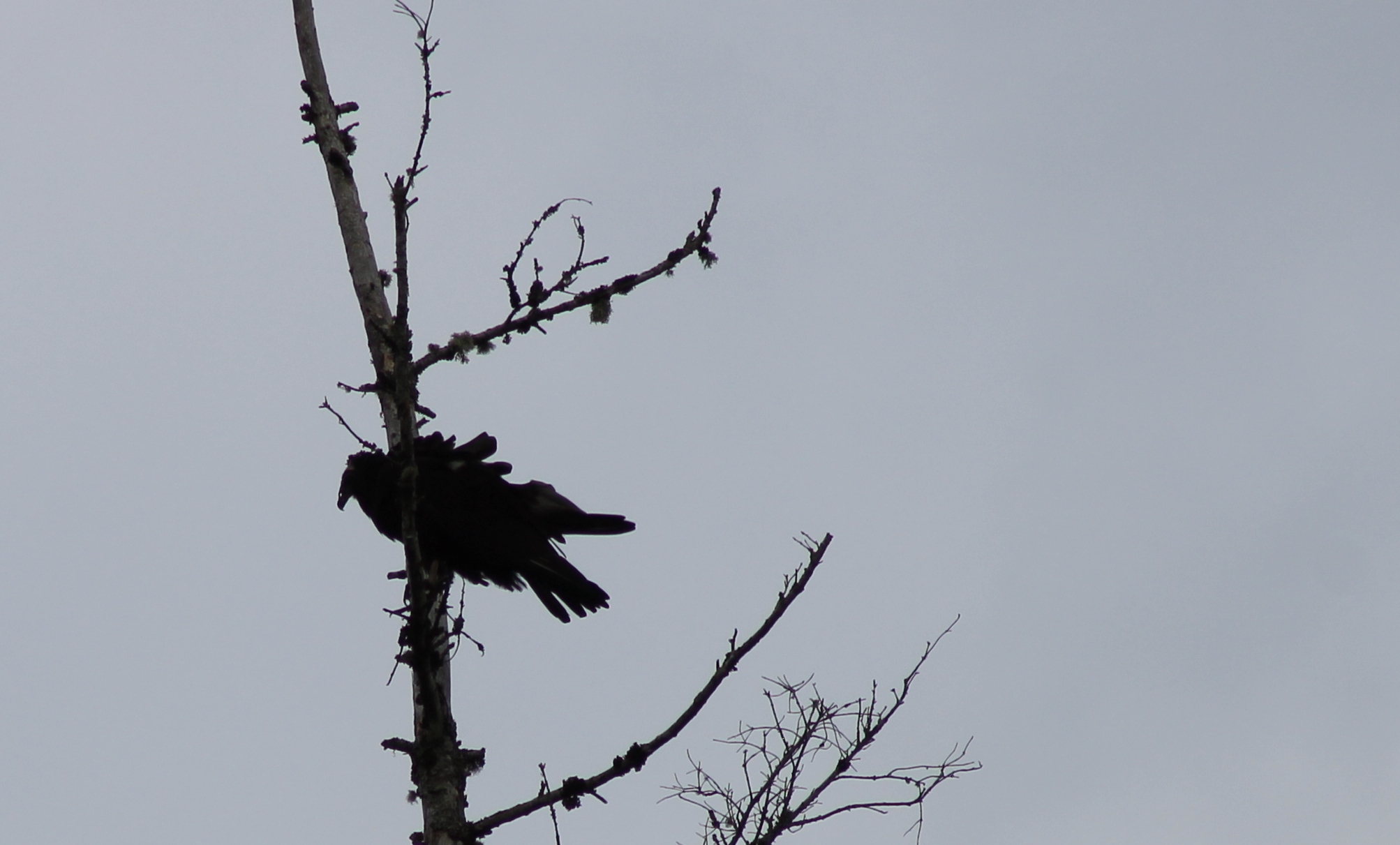
IMG_2096 Turkey Vulture
Good Morning Summit Lake
IMG_6819 Kennedy Creek estuary
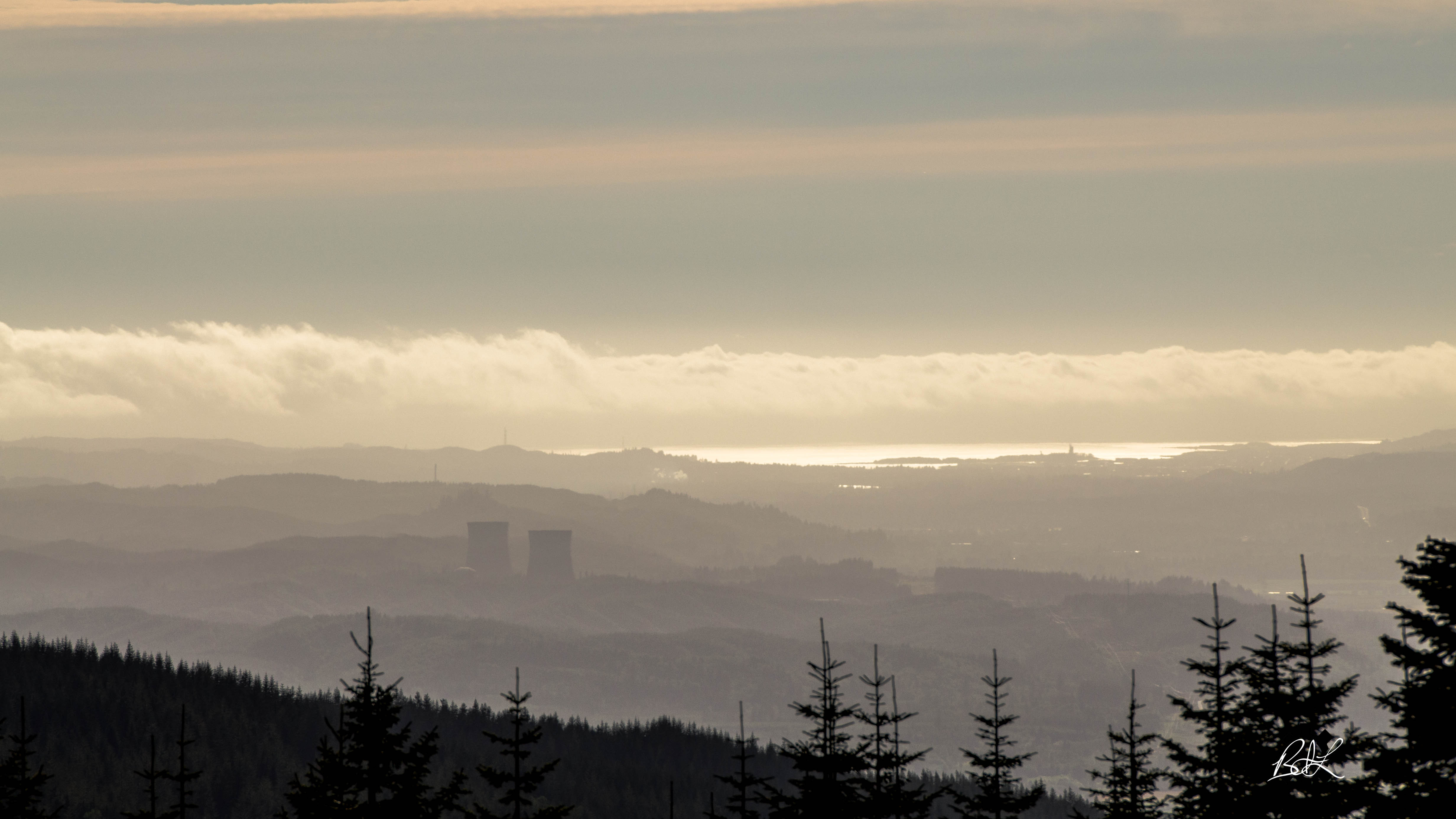
Nuclear View

Another Show View

IMG_0343 Townsend's Solitaire - Myadestes townsendi

IMG_7159 Kennedy Creek
View from Rolling Thunder 1 cache
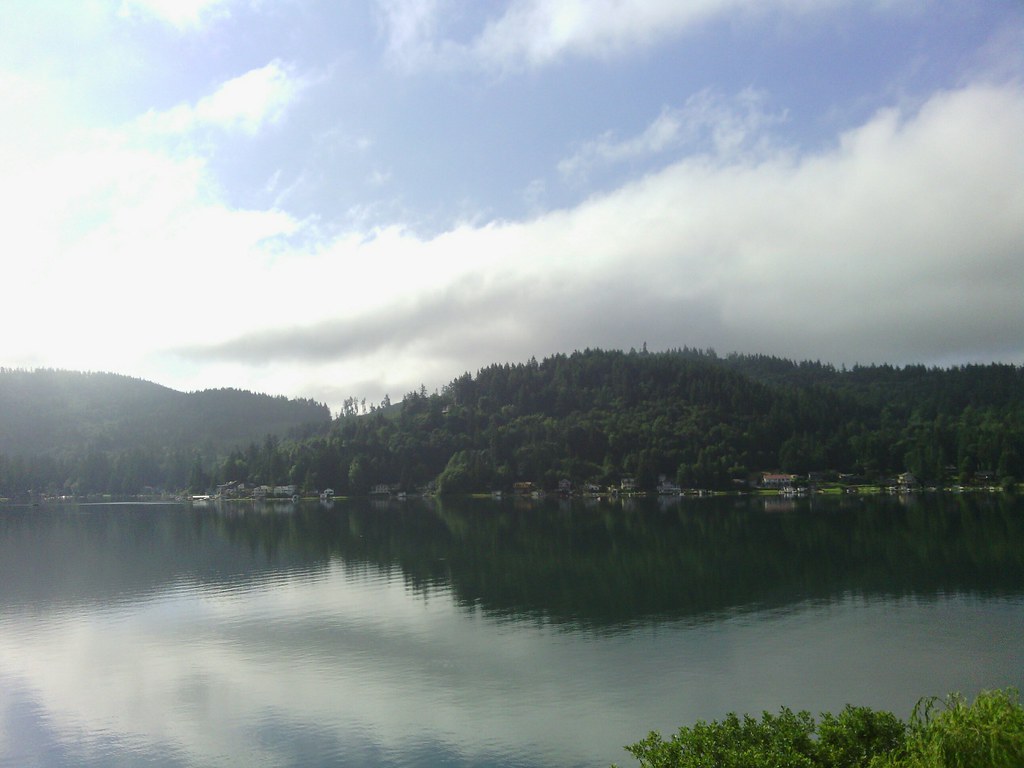
Summit Lake

Mt Molly Porter and Trail 30 intersection
Summit Lake
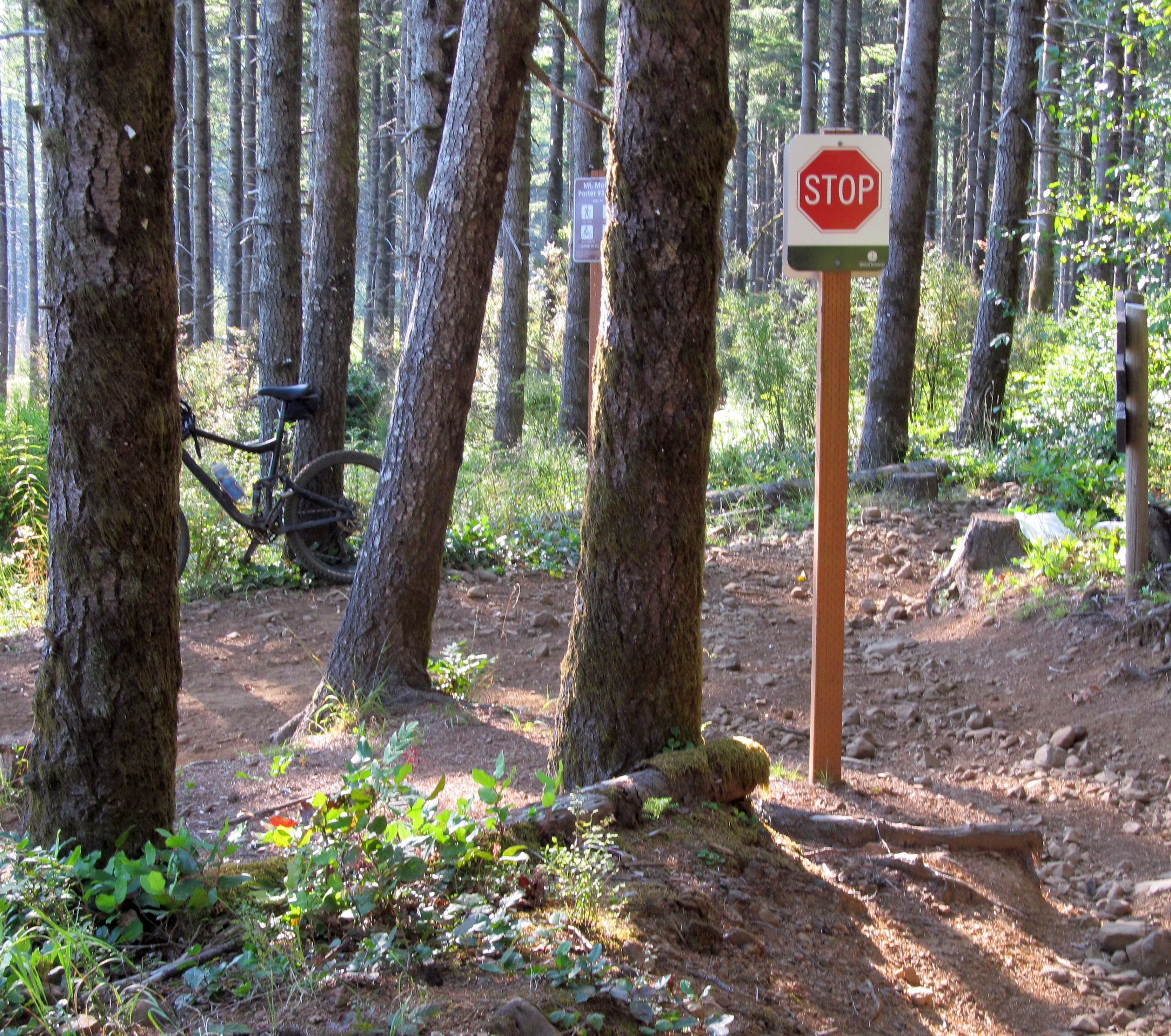
Stop Sign - Busy Intersection??
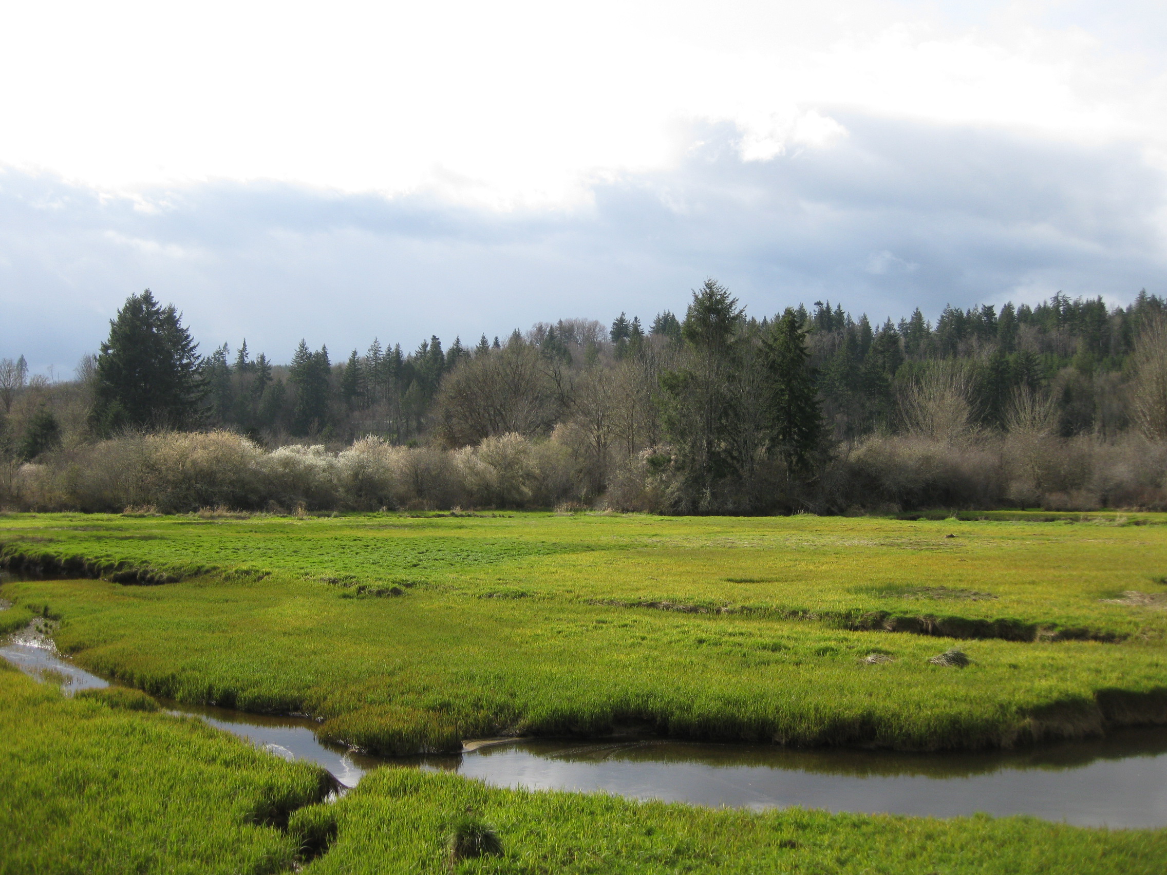
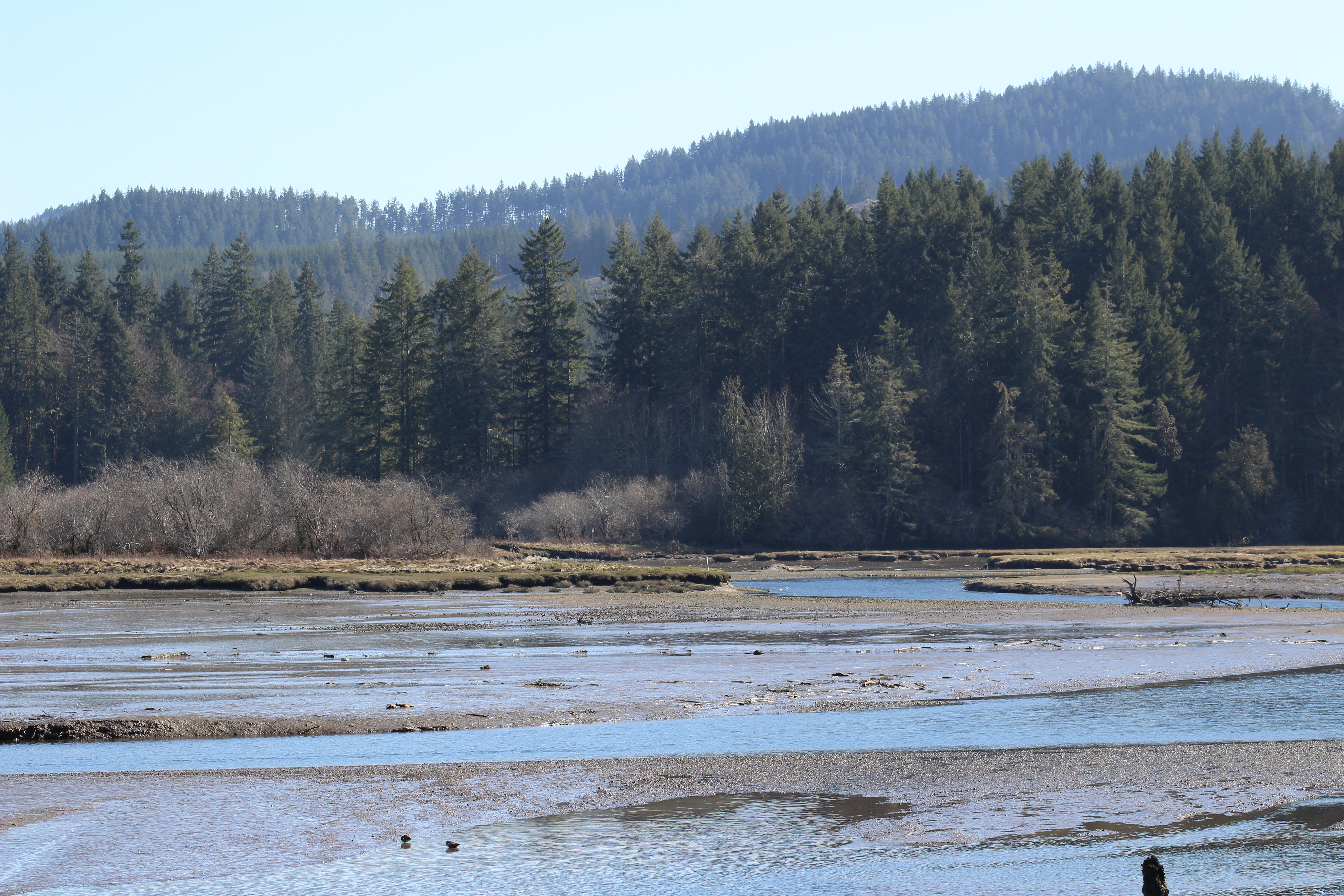
Kennedy Creek Estuary
Kennedy Creek
#washington #clouds #scenic #barns #old #driving #hiking
Looks b/ w but isn't. Snowing again.

AWB at Green Diamond Resources

Hoodsport to Aberdeen, WA

Mima Porter Trail

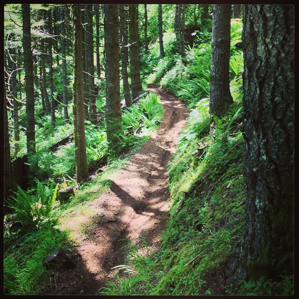
Moss Tunnel On Mima Porter Trail

Creek On The Mima Porter Trail
Hoodsport to Aberdeen, WA
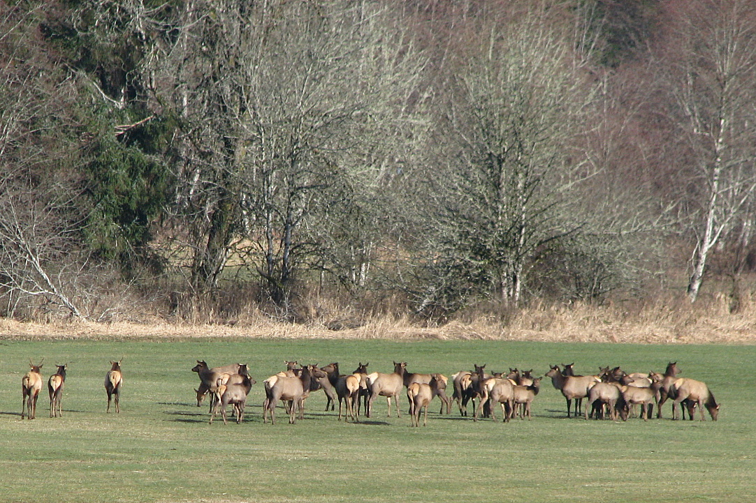
Elks gathering

Hoodsport to Aberdeen, WA
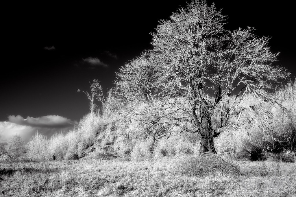
Old Tree

Moss Covered Trees

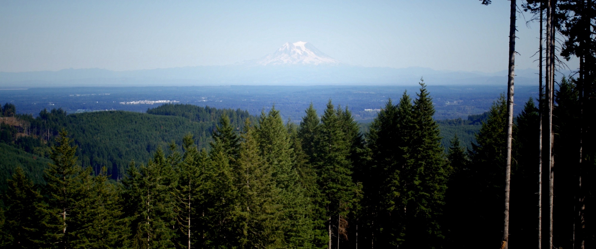
Looking Towards Mount Rainier
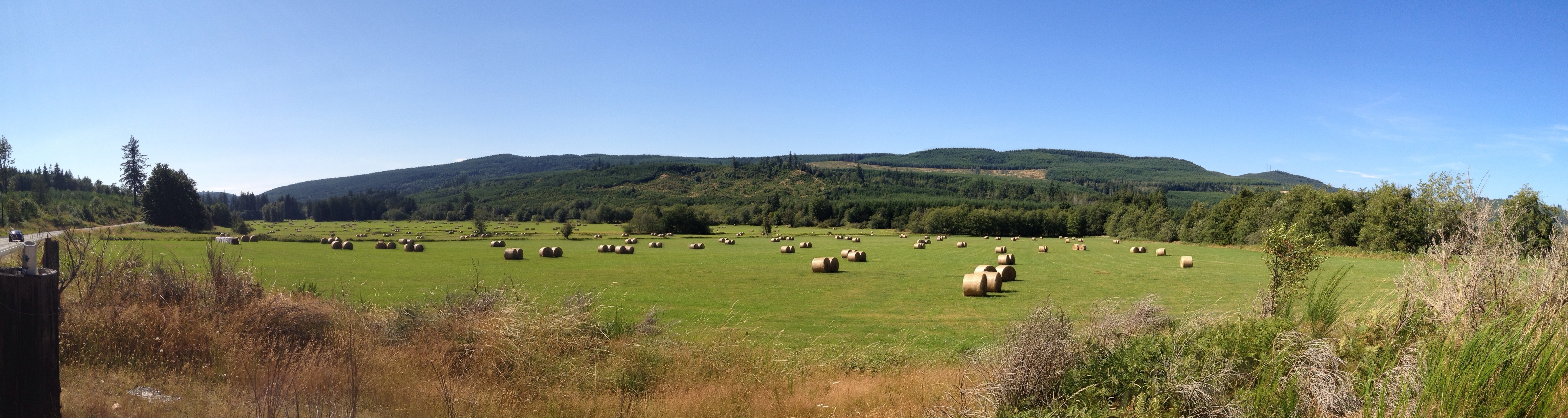
Simple Panorama

Mount Rainier
Topographic Map of McCleary Rd, McCleary, WA, USA
Find elevation by address:

Places near McCleary Rd, McCleary, WA, USA:
Mccleary
419 W Oak St
190 Wildcat Dr
Mccleary Cemetery
24 Overlake Ln
McCleary, WA, USA
657 West Camas Court
234 N Sand Creek Rd
W State Route Rte, Shelton, WA, USA
9 Stillson Rd
618 Elma Mccleary Rd
29 Evans Ln
215 Malone Hill Rd
215 Malone Hill Rd
115 Powers Creek Rd
Porter
Main Street
13 Porter Creek Rd, Elma, WA, USA
N Blockhouse Rd, Elma, WA, USA
911 Summit Lake Shore Rd Nw
Recent Searches:
- Elevation of Rojo Ct, Atascadero, CA, USA
- Elevation of Flagstaff Drive, Flagstaff Dr, North Carolina, USA
- Elevation of Avery Ln, Lakeland, FL, USA
- Elevation of Woolwine, VA, USA
- Elevation of Lumagwas Diversified Farmers Multi-Purpose Cooperative, Lumagwas, Adtuyon, RV32+MH7, Pangantucan, Bukidnon, Philippines
- Elevation of Homestead Ridge, New Braunfels, TX, USA
- Elevation of Orchard Road, Orchard Rd, Marlborough, NY, USA
- Elevation of 12 Hutchinson Woods Dr, Fletcher, NC, USA
- Elevation of Holloway Ave, San Francisco, CA, USA
- Elevation of Norfolk, NY, USA