Elevation of Elbow Mountain, Montana, USA
Location: United States > Montana > Pondera County >
Longitude: -113.11507
Latitude: 48.1769028
Elevation: 2149m / 7051feet
Barometric Pressure: 78KPa
Elevation Map:
Satellite Map:
Related Photos:

Tent camping on a moonlight night in the Great Bear Wilderness area of Montana. This image was enhanced using Adobe Photoshop Lightroom and Adobe Photoshop CS5.<br/><br/>Learn more about my digital photography field workshops and Adobe Photoshop Lightroo
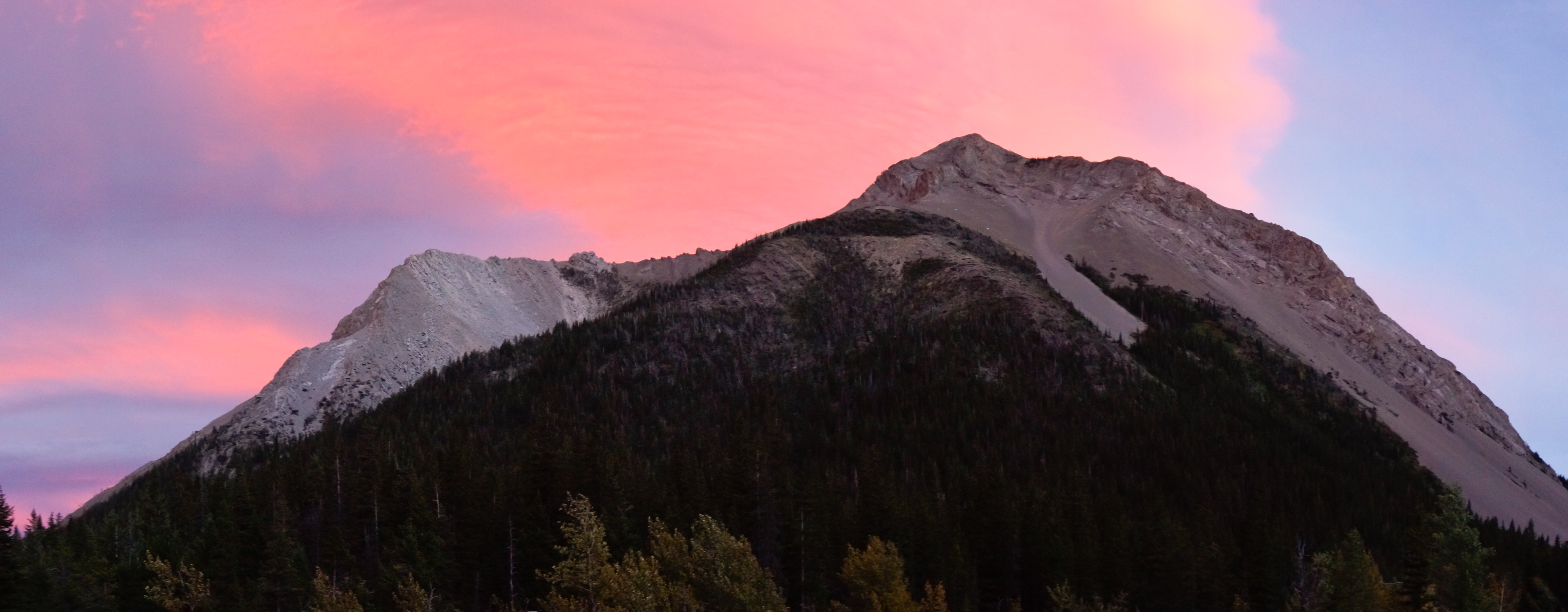
Sunset and Mount Richmond

Sunset in the North Fork Birch Creek Valley
Blind Creek Drainage
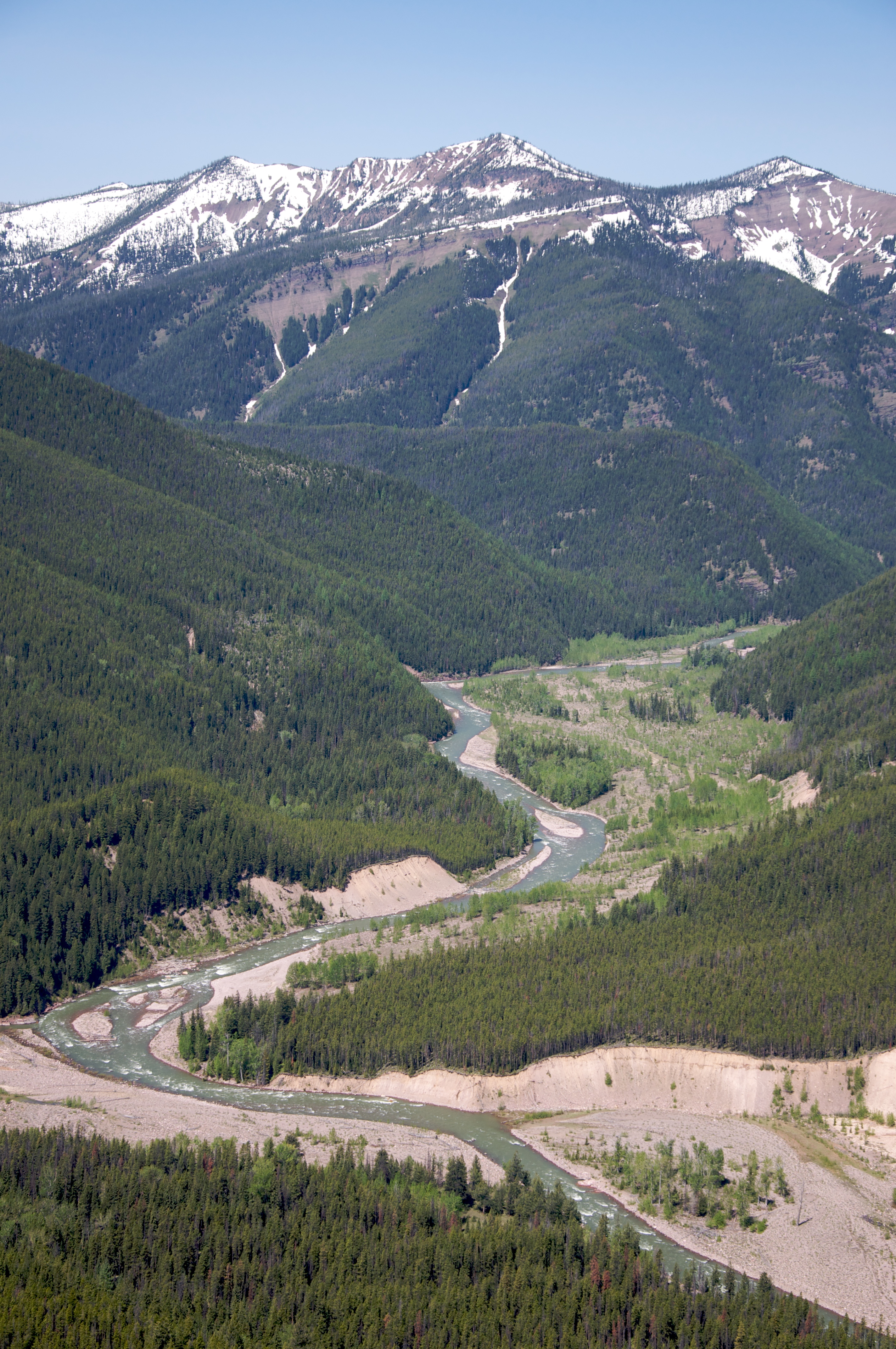
Flathead River, Montana
North Fork Birch Creek
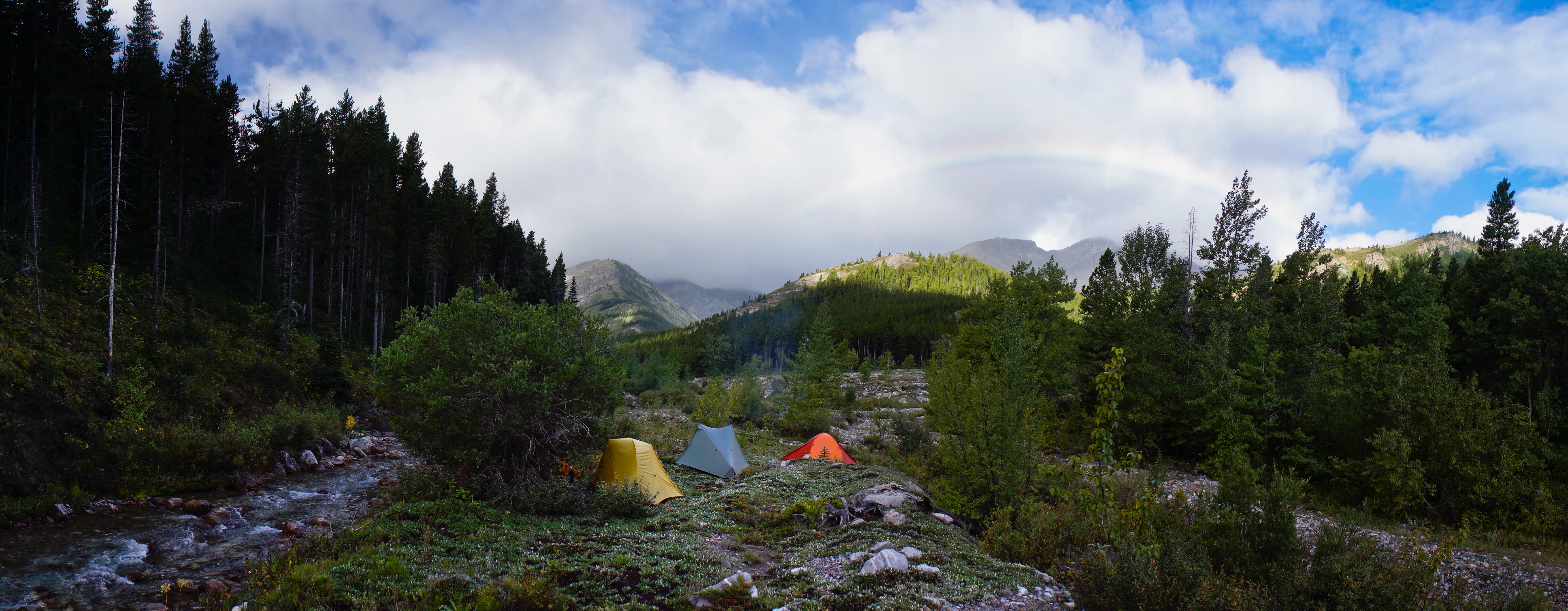
Rainbow from Middle Fork Birch Creek Camp
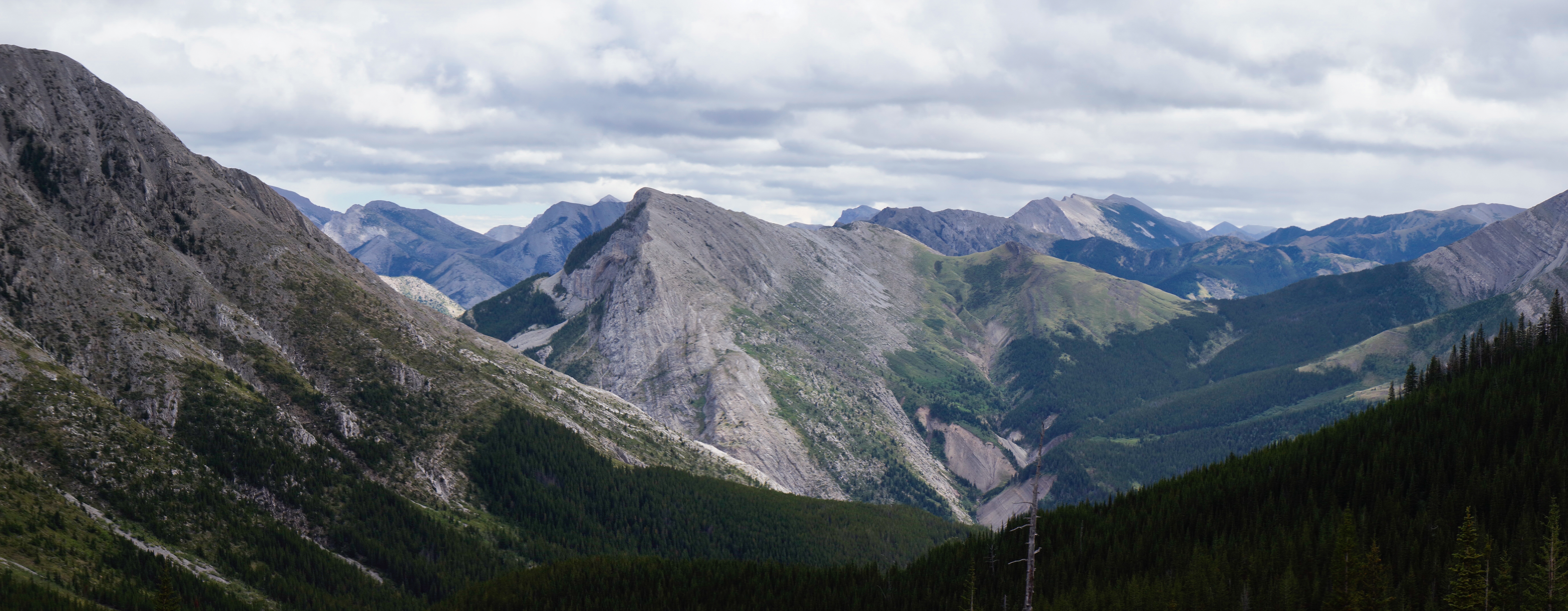
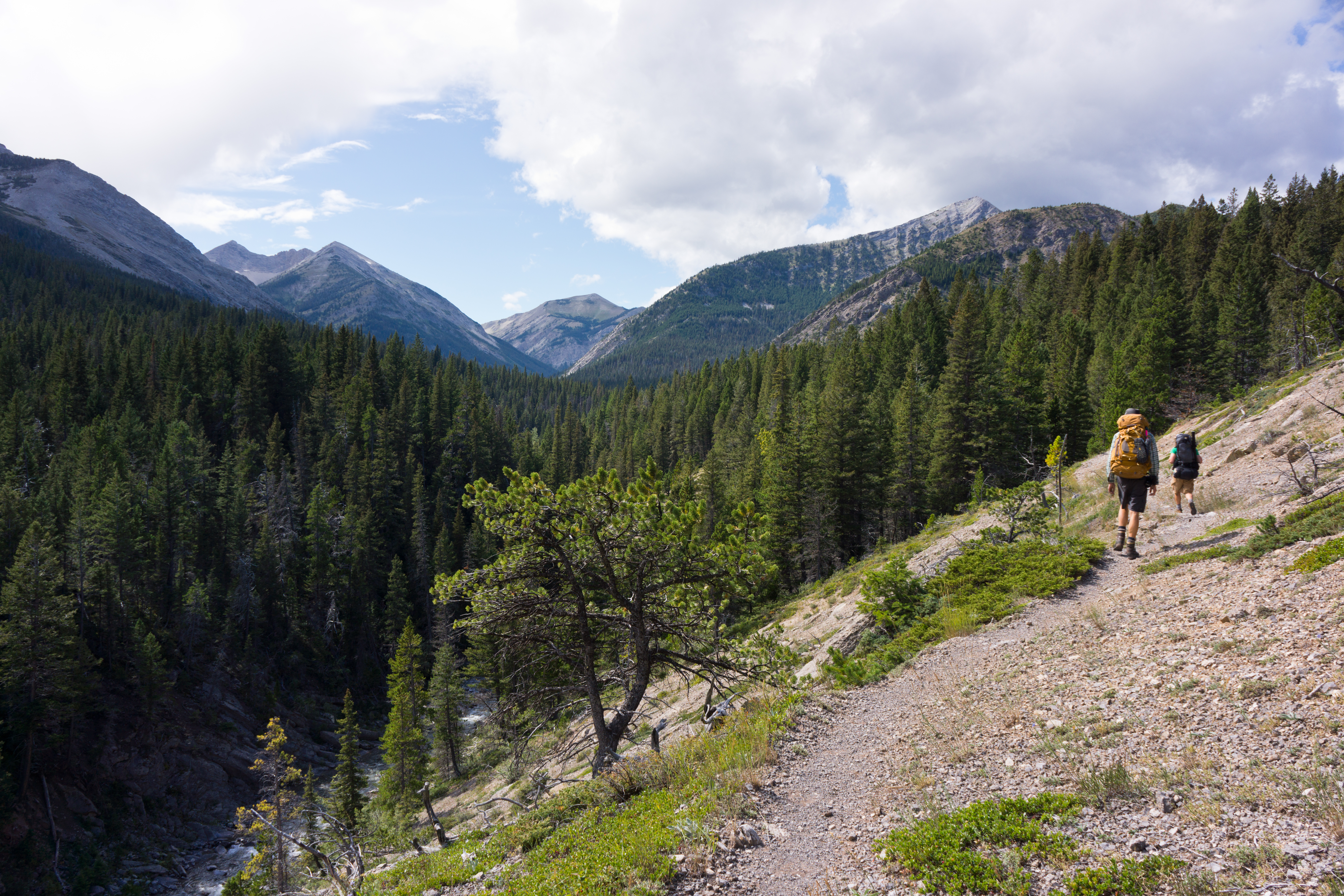
South from Blind-Tubby Pass
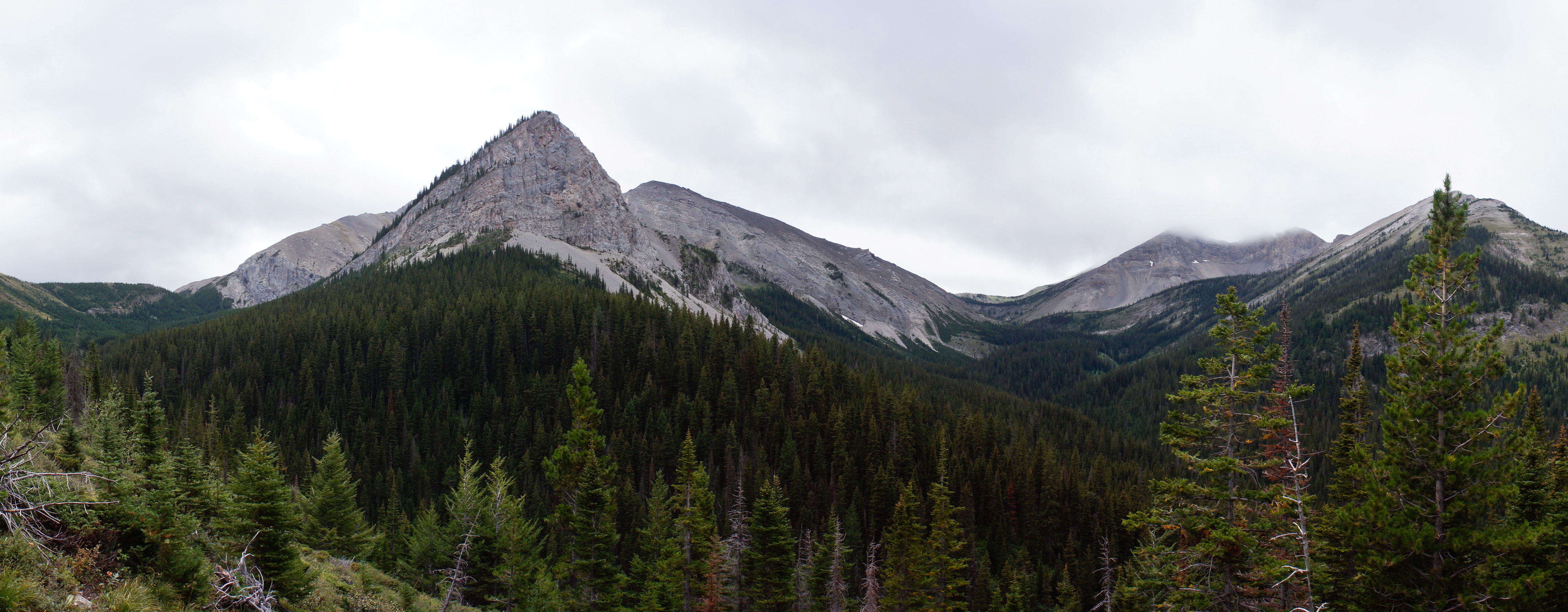
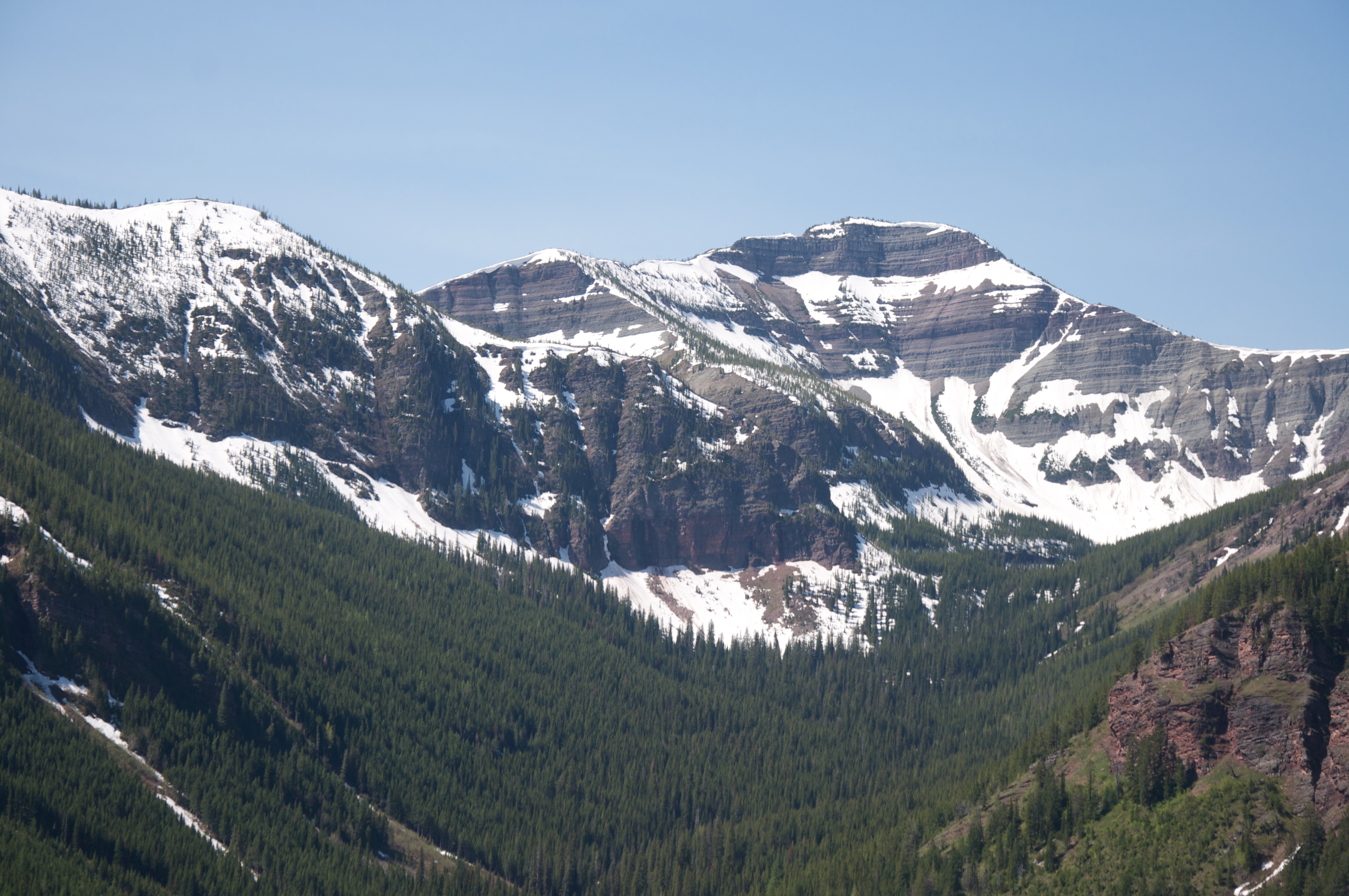
Mount Field
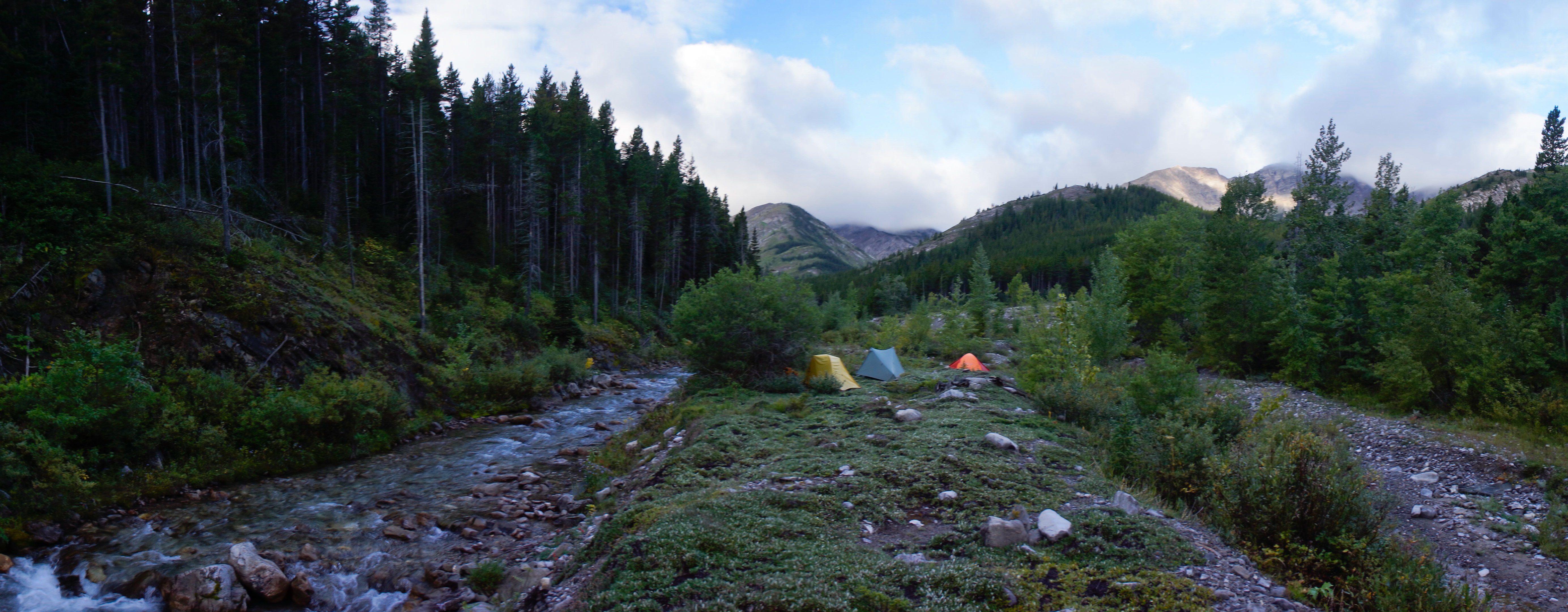
Middle Fork Birch Creek Camp
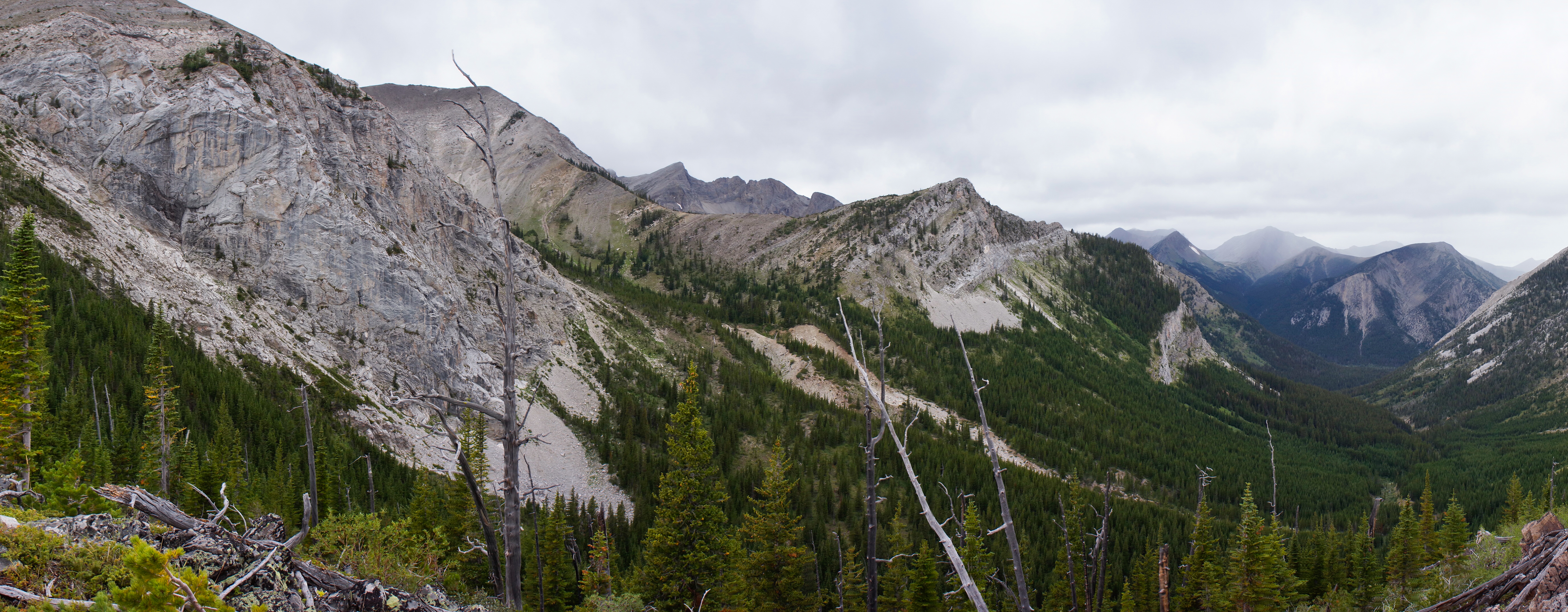
Tubby Creek Drainage
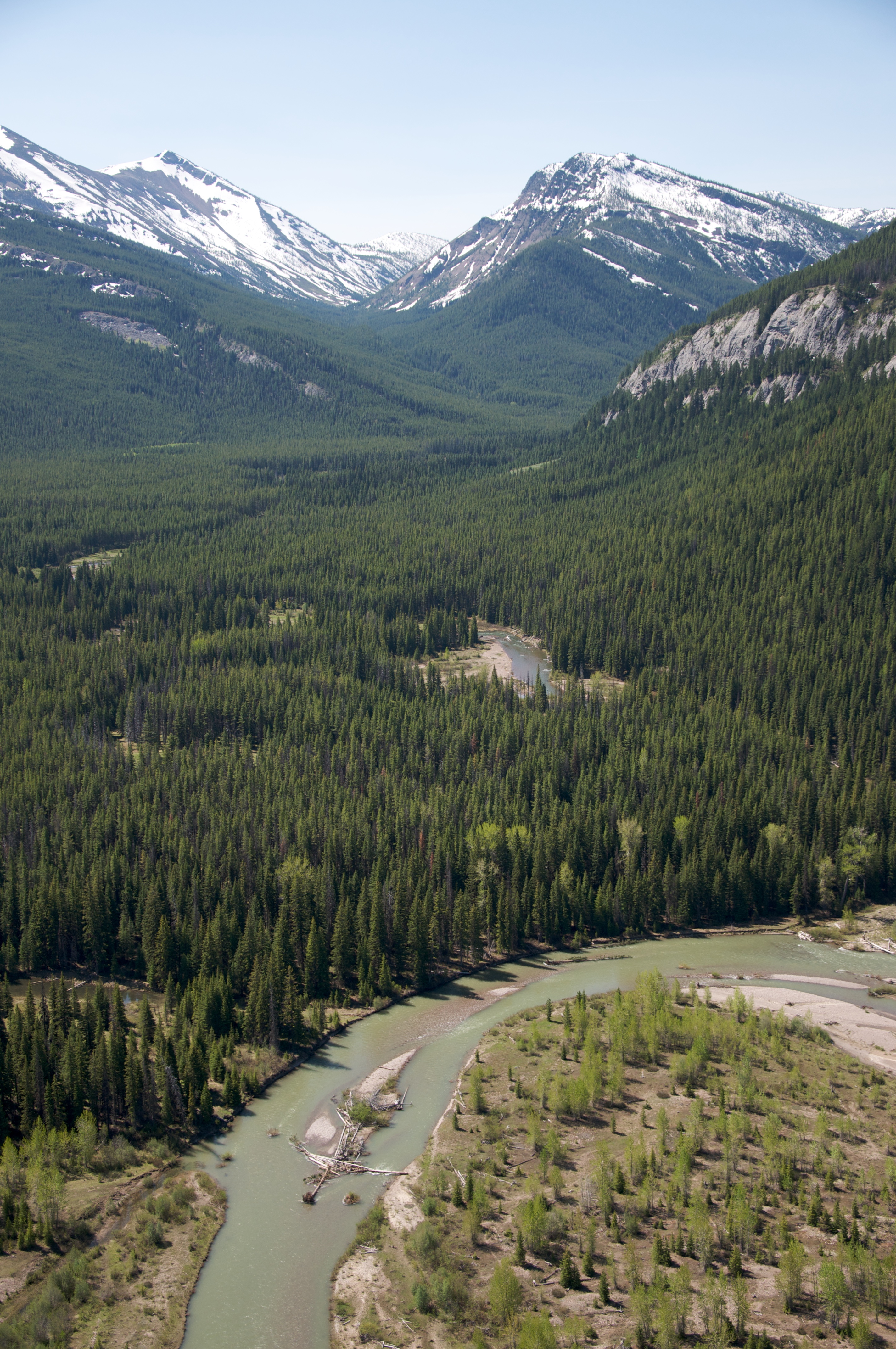
Middle Fork of the Flathead River
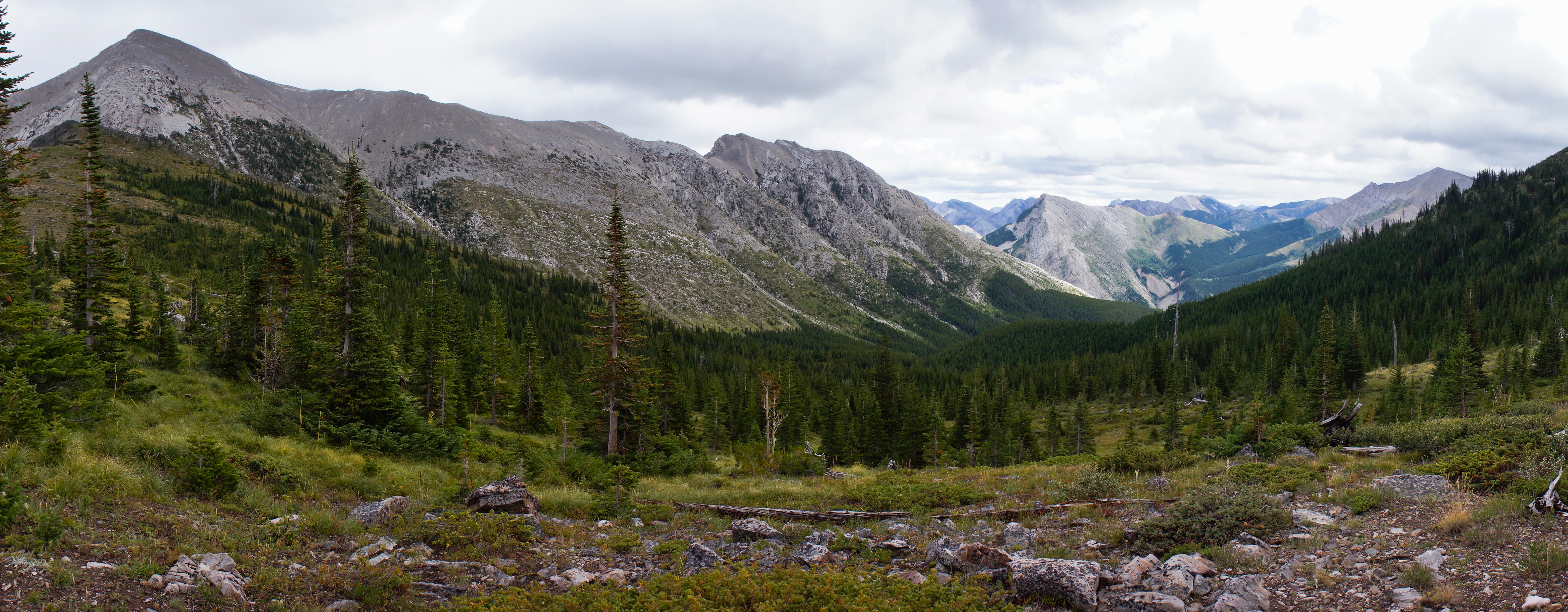
Somewhere in the Great Bear Wilderness
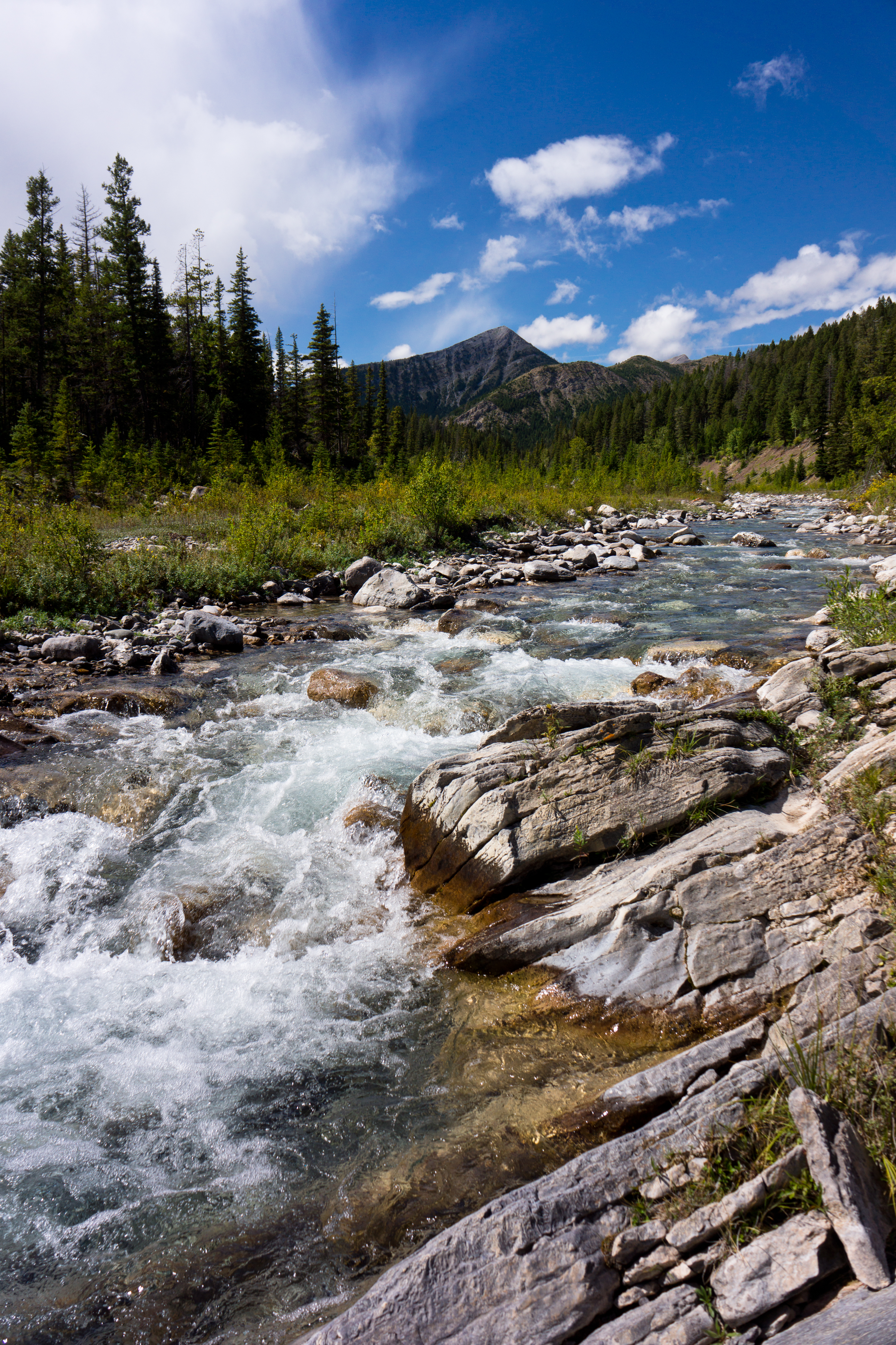
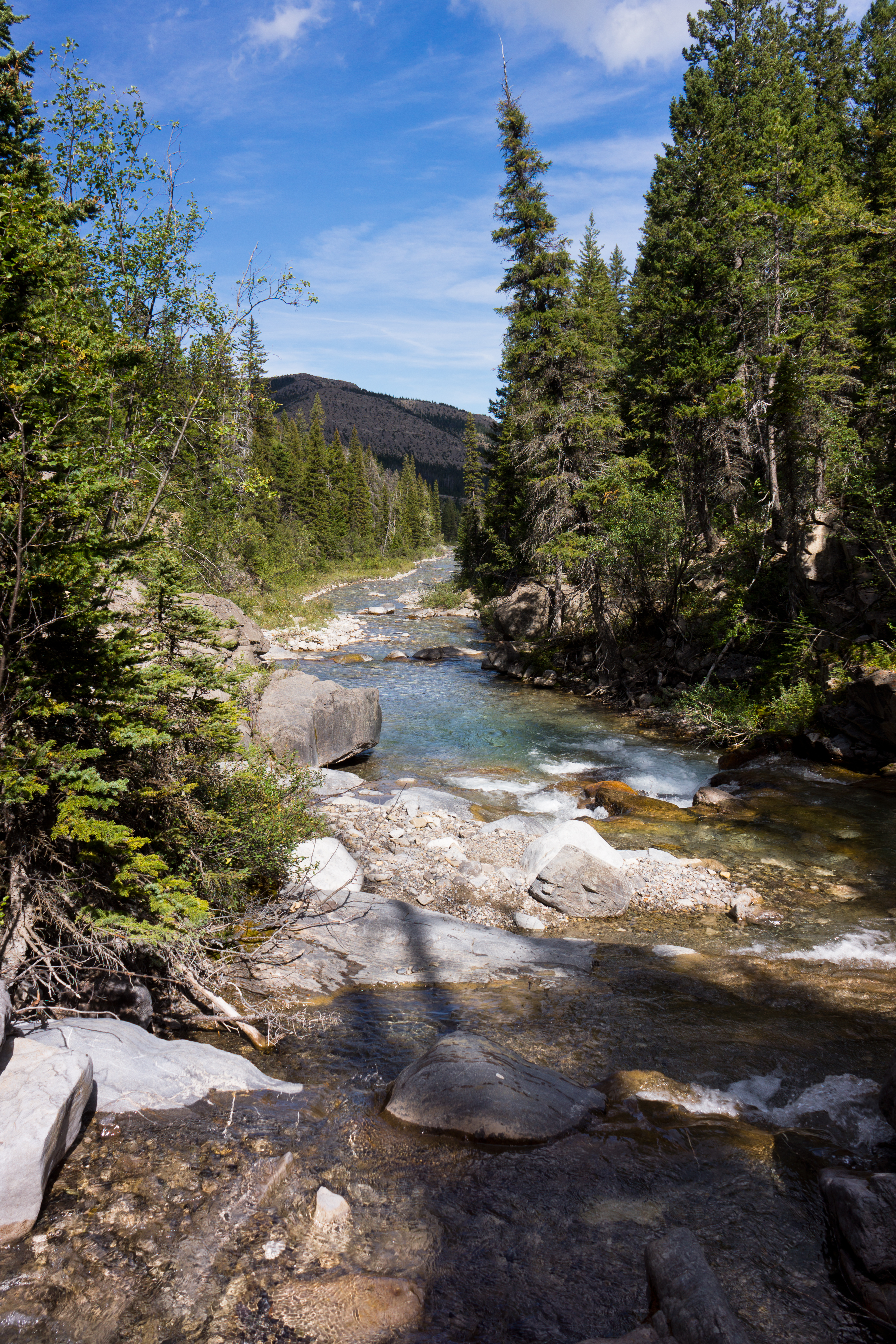
North Fork Birch Creek
North Fork Birch Creek
Topographic Map of Elbow Mountain, Montana, USA
Find elevation by address:

Places near Elbow Mountain, Montana, USA:
Spotted Eagle Mountain
Goat Mountain
Morningstar Mountain
Running Owl Mountain
Big Lodge Mountain
Family Peak
Half Dome Crag
Crescent Cliff
Mount Poia
Bullshoe Mountain
Lookout Ridge South
Pondera County Hp
Running Crane Mountain
Little Plume Peak
Slippery Bill Mountain South
Slippery Bill Mountain North
Feather Woman Mountain
Two Medicine Ridge East
Mount Richmond
Major Steele Backbone
Recent Searches:
- Elevation of Corso Fratelli Cairoli, 35, Macerata MC, Italy
- Elevation of Tallevast Rd, Sarasota, FL, USA
- Elevation of 4th St E, Sonoma, CA, USA
- Elevation of Black Hollow Rd, Pennsdale, PA, USA
- Elevation of Oakland Ave, Williamsport, PA, USA
- Elevation of Pedrógão Grande, Portugal
- Elevation of Klee Dr, Martinsburg, WV, USA
- Elevation of Via Roma, Pieranica CR, Italy
- Elevation of Tavkvetili Mountain, Georgia
- Elevation of Hartfords Bluff Cir, Mt Pleasant, SC, USA