Elevation of Major Steele Backbone, Montana, USA
Location: United States > Montana > Pondera County >
Longitude: -112.9336111
Latitude: 48.2077777
Elevation: 2148m / 7047feet
Barometric Pressure: 0KPa
Related Photos:
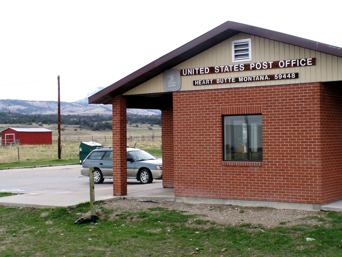
Heart Butte, Montana 59448
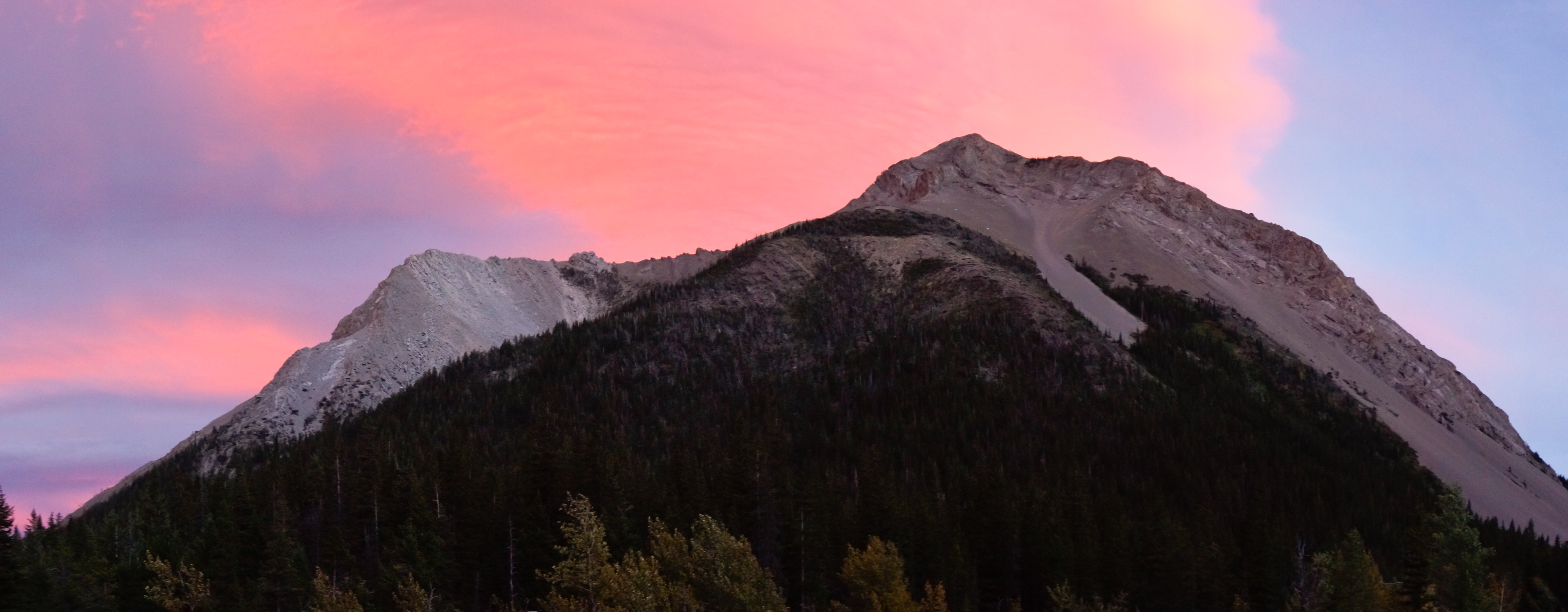
Sunset and Mount Richmond

Sunset in the North Fork Birch Creek Valley
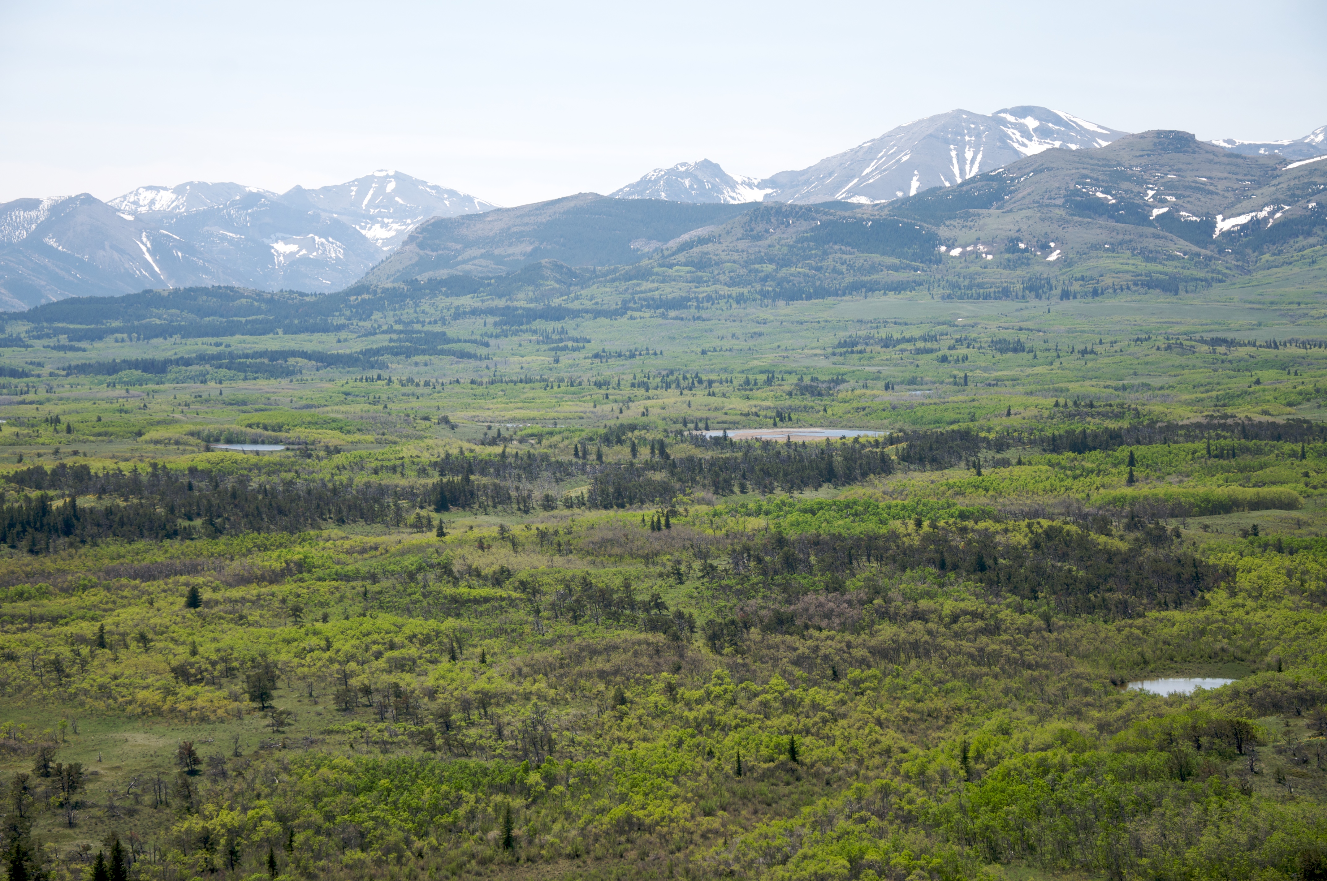
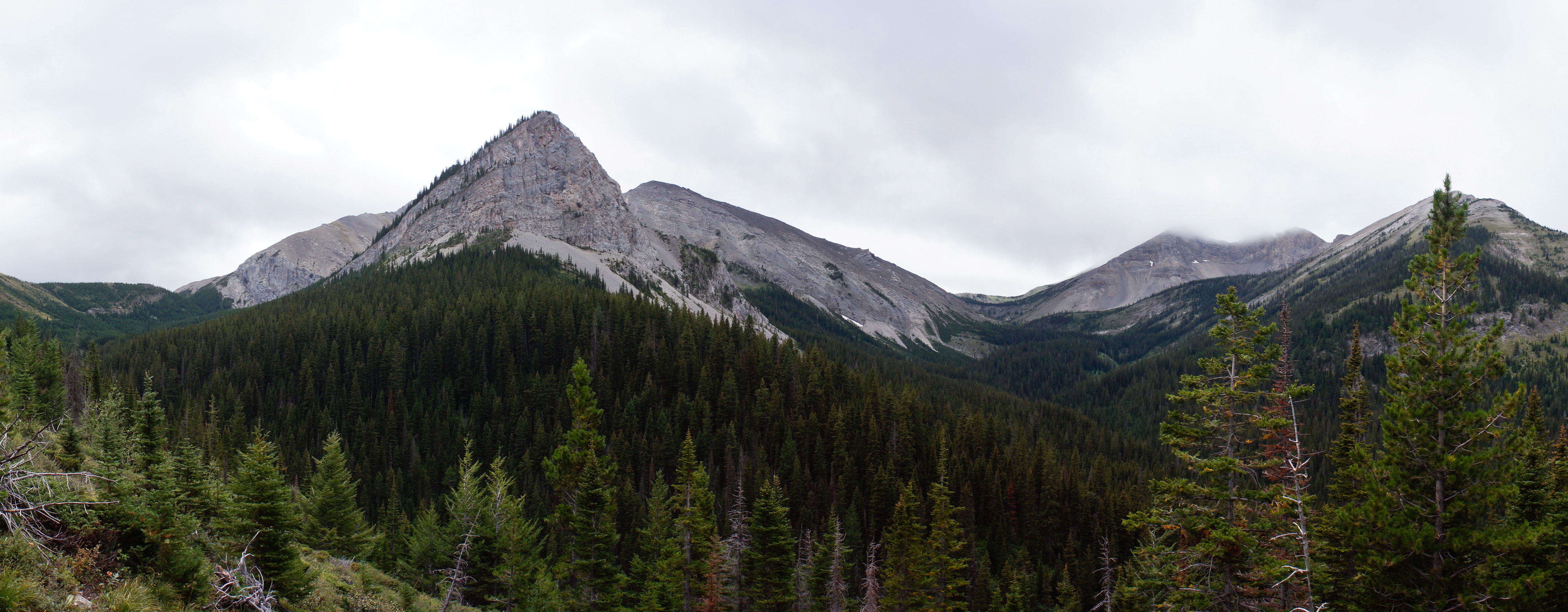
Rocky Mountain Front forest
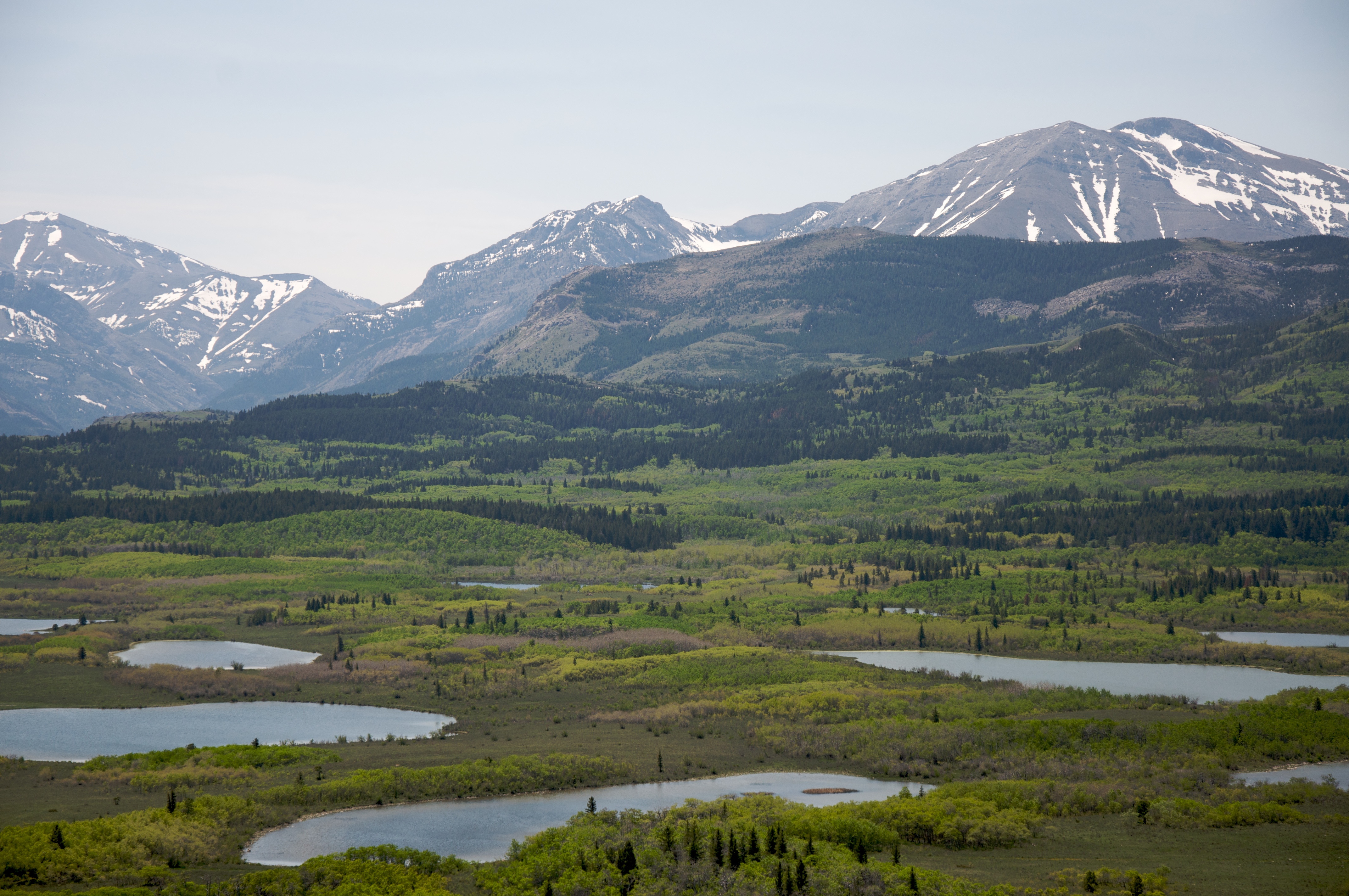
Rocky Mountain Front forest and lakes
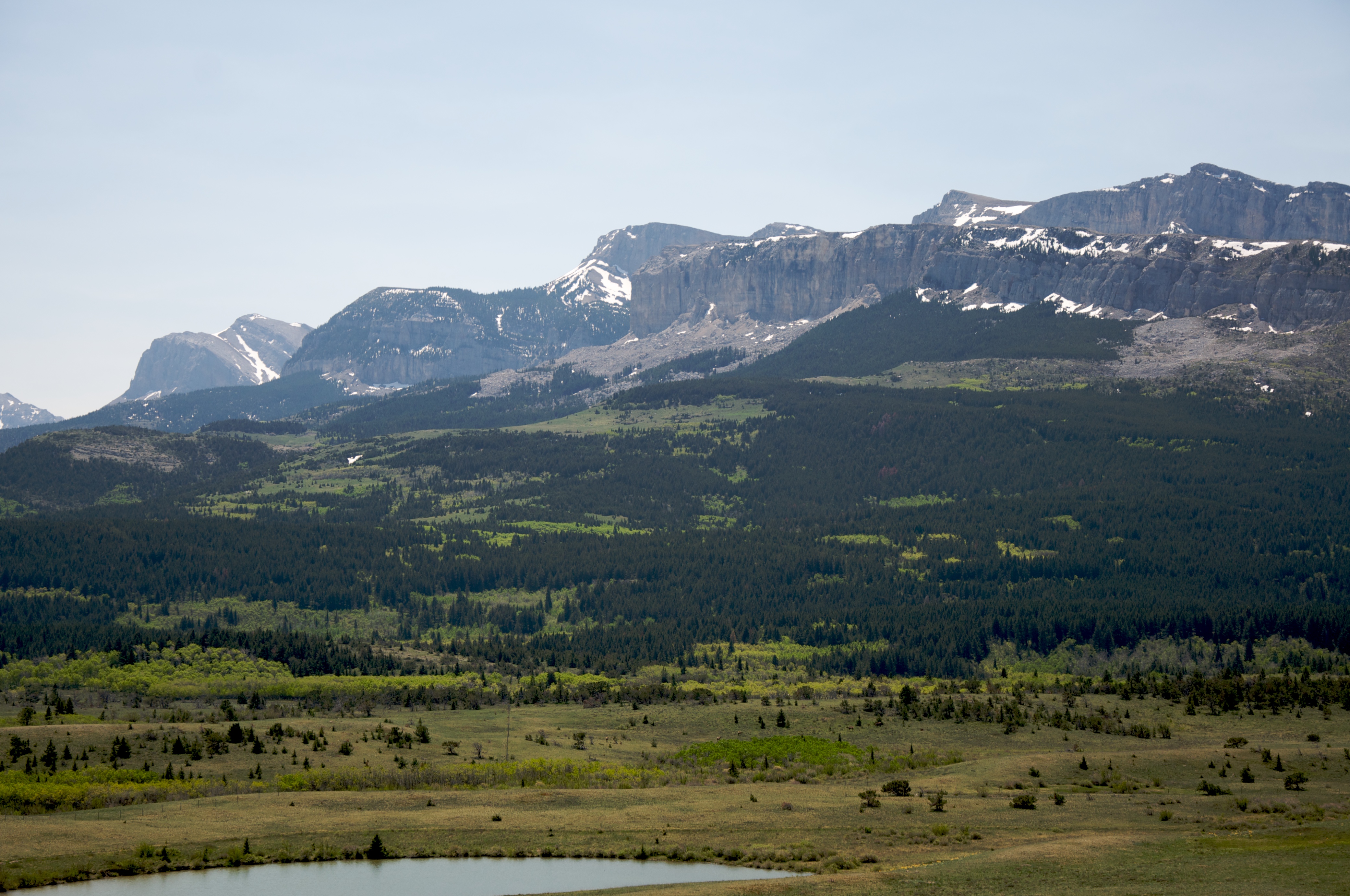
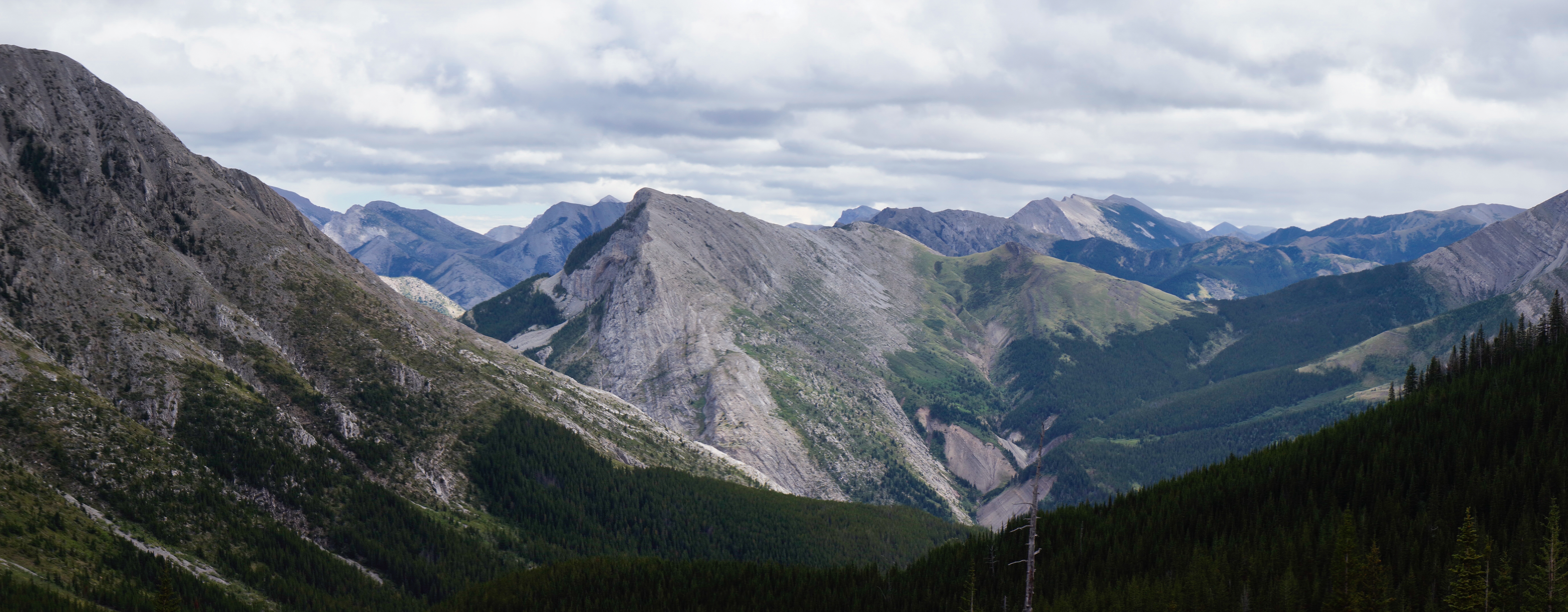
Rocky Mountain Front
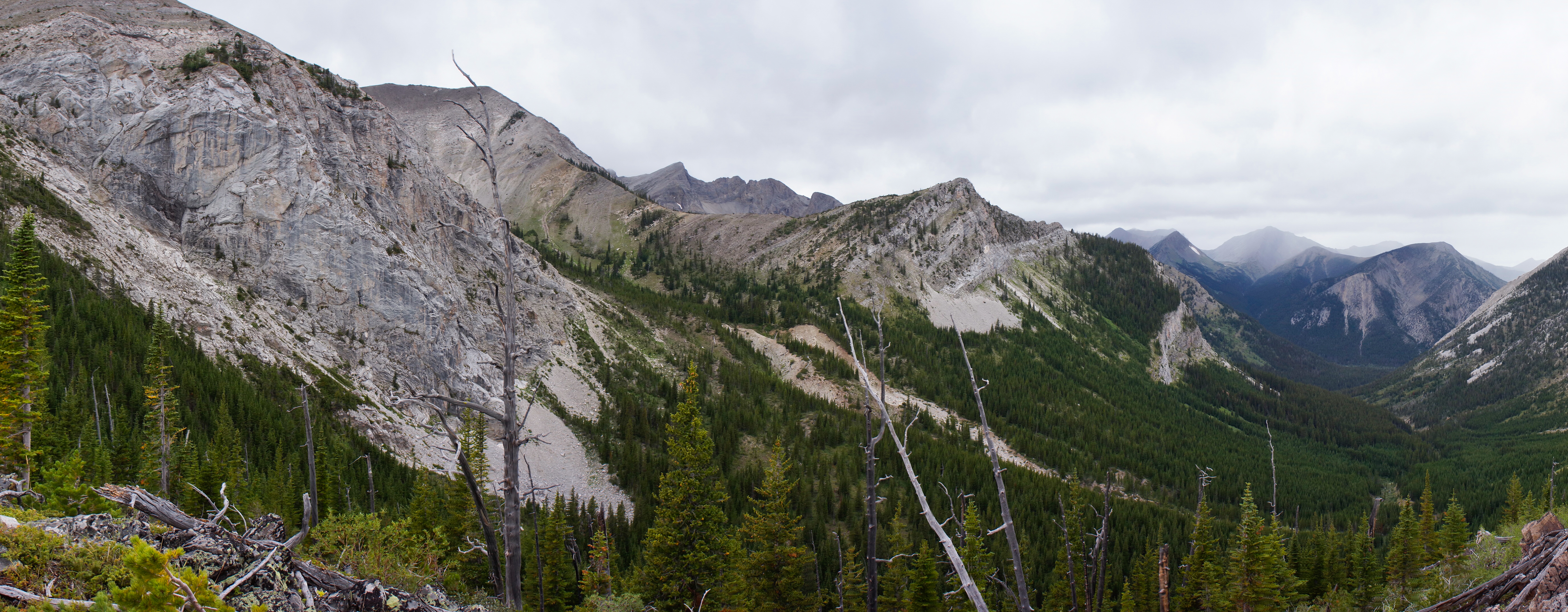
Blind Creek Drainage
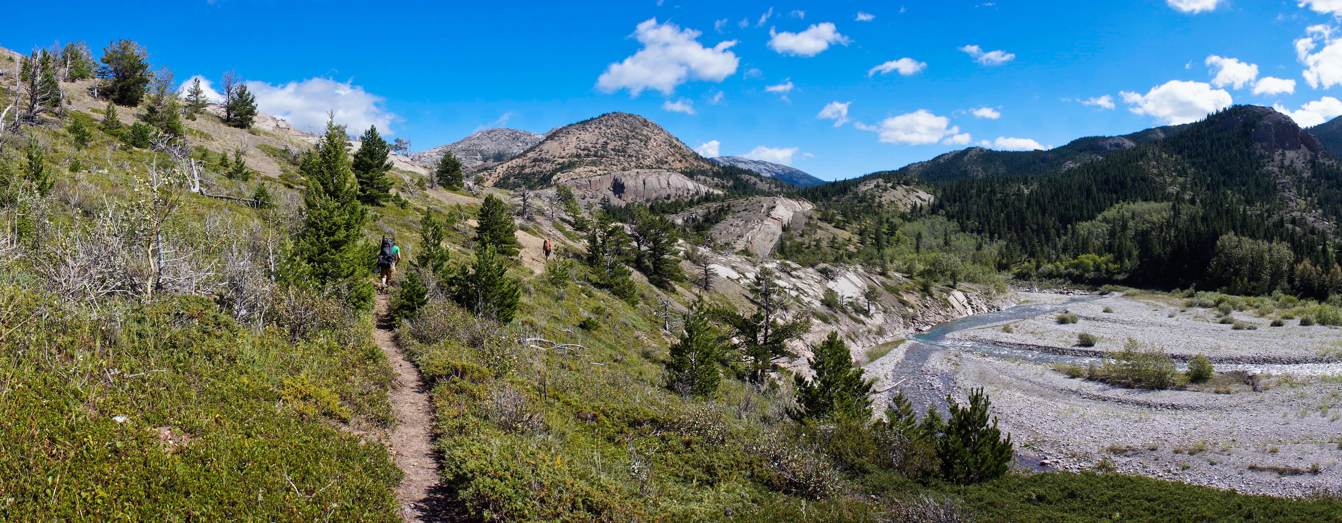
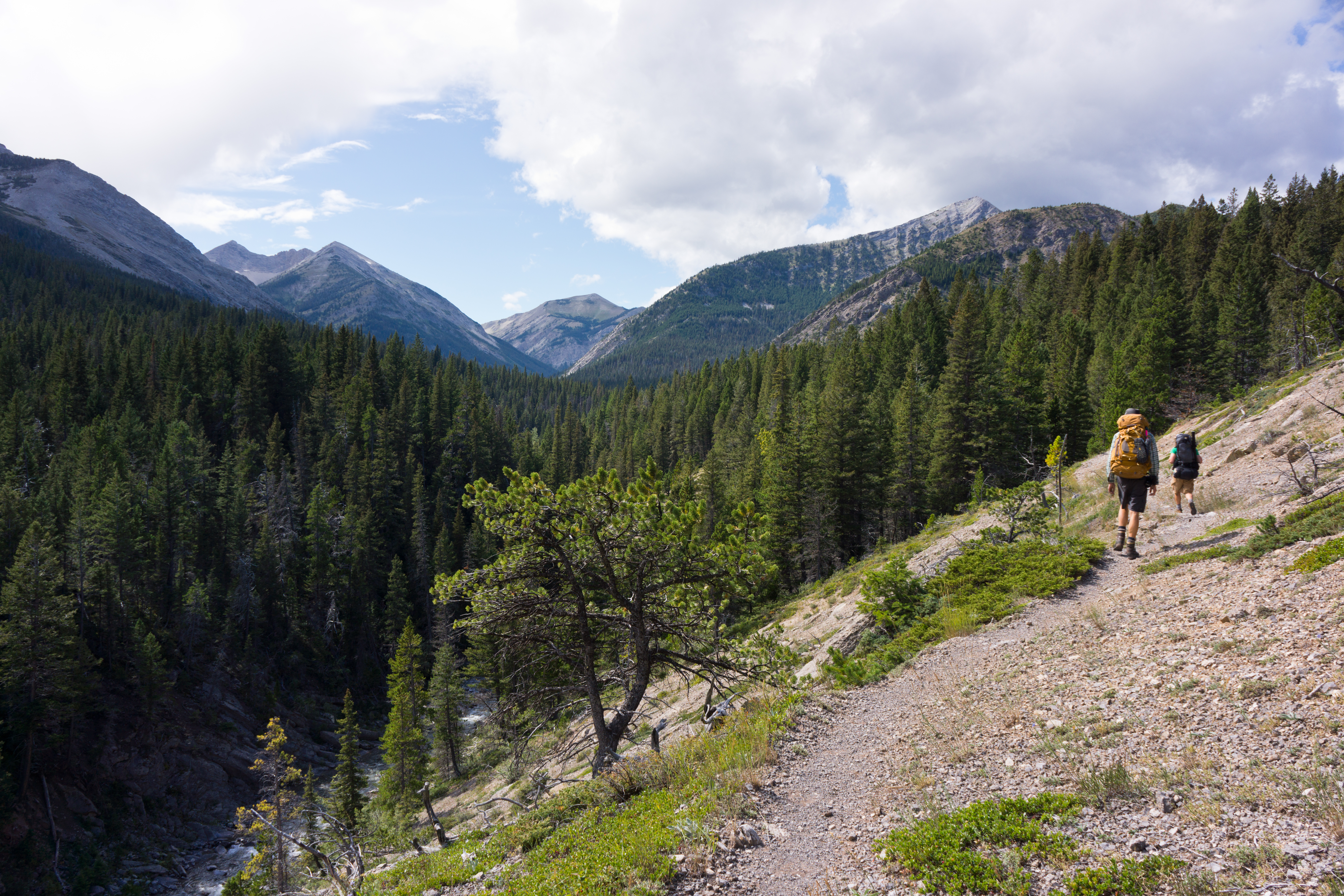
South Fork Birch Creek Trail
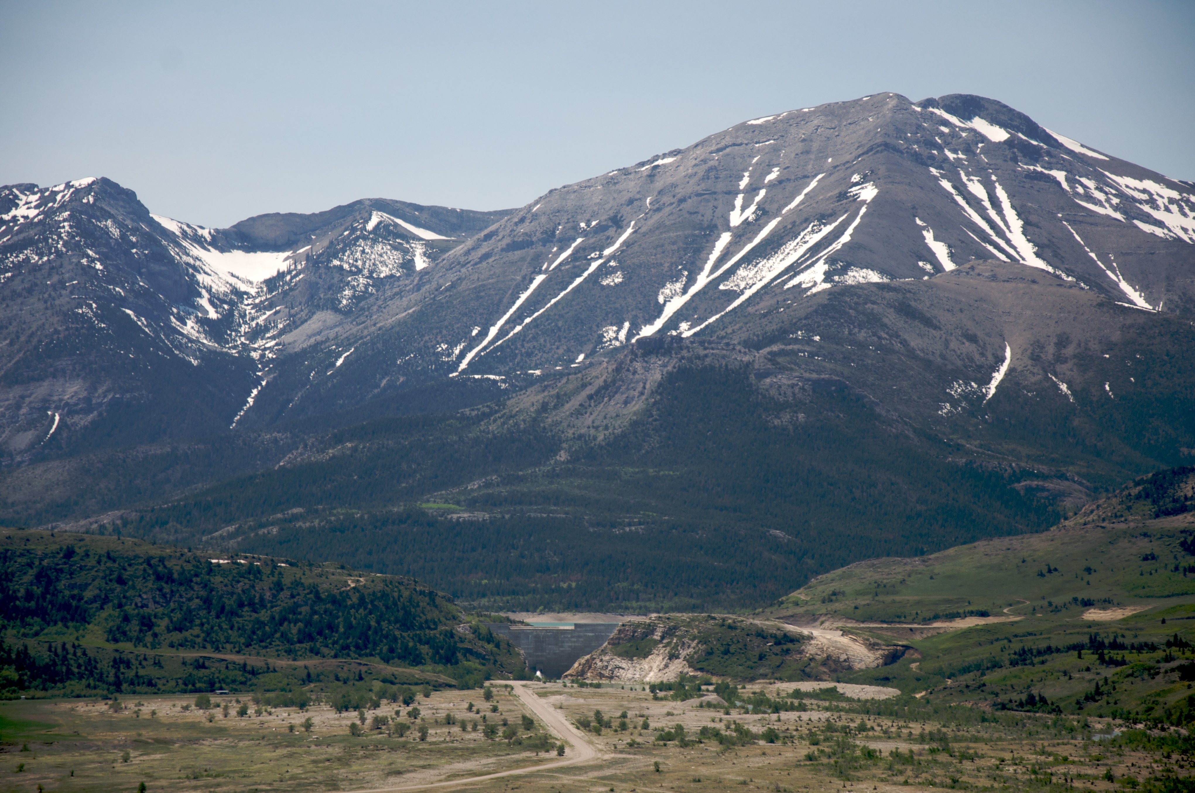
Swift Dam on Birch Creek, Montana
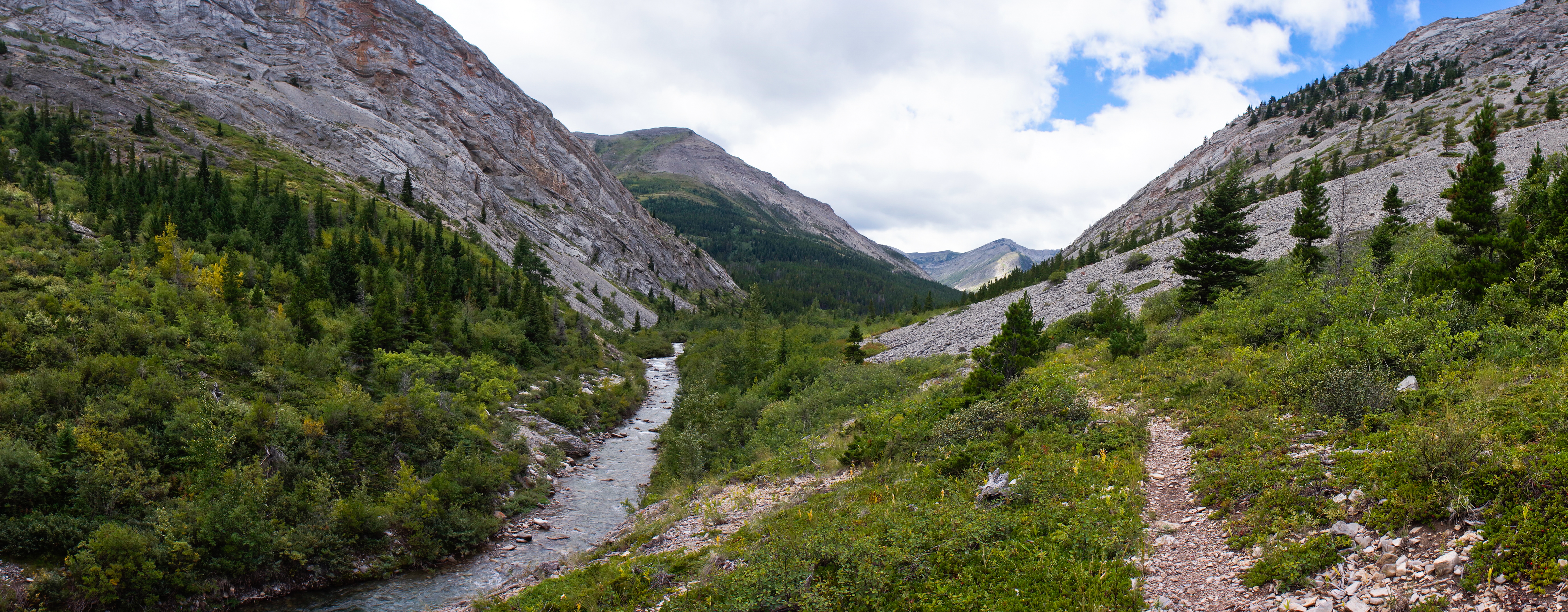
Middle Fork Birch Creek Valley
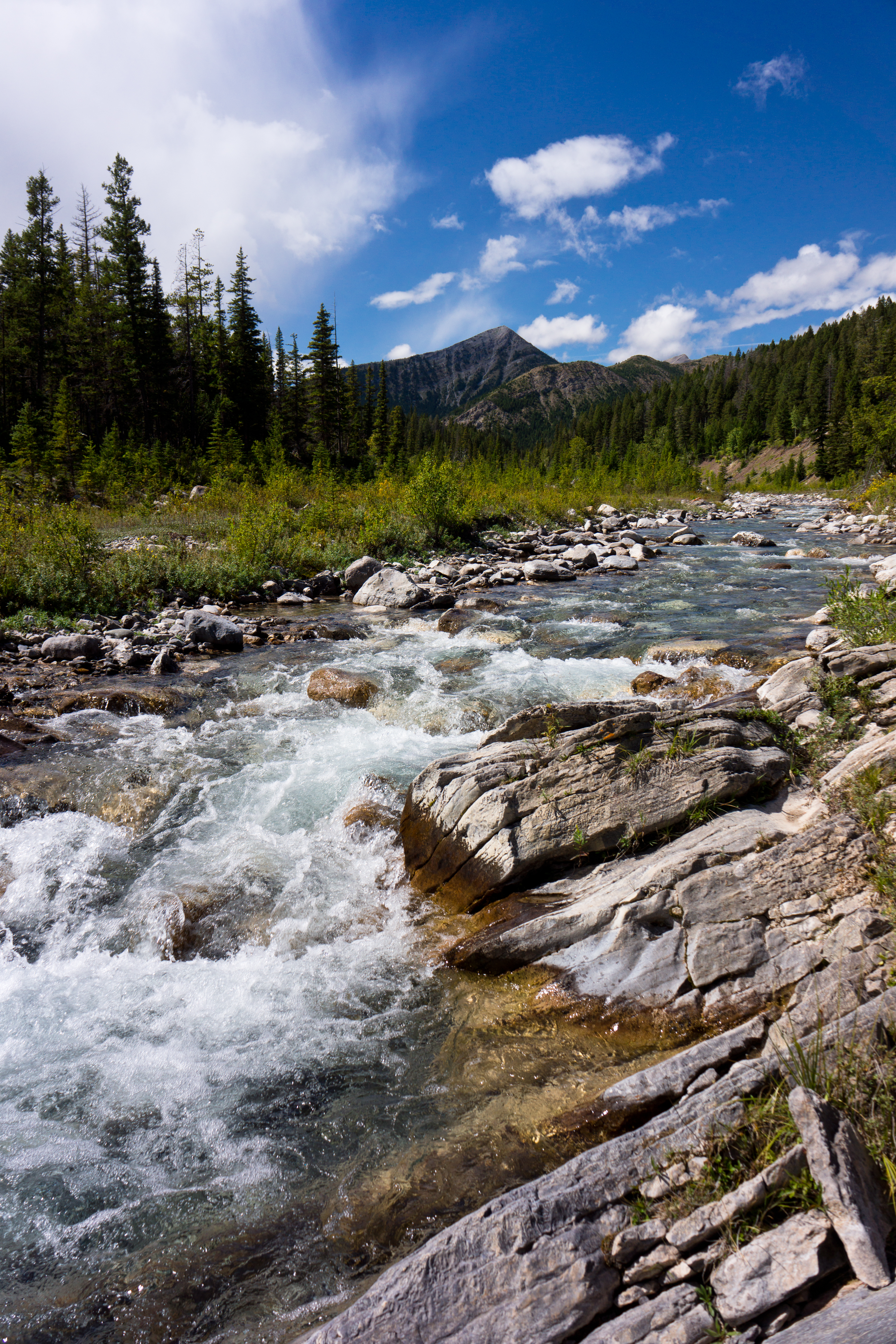
North Fork Birch Creek
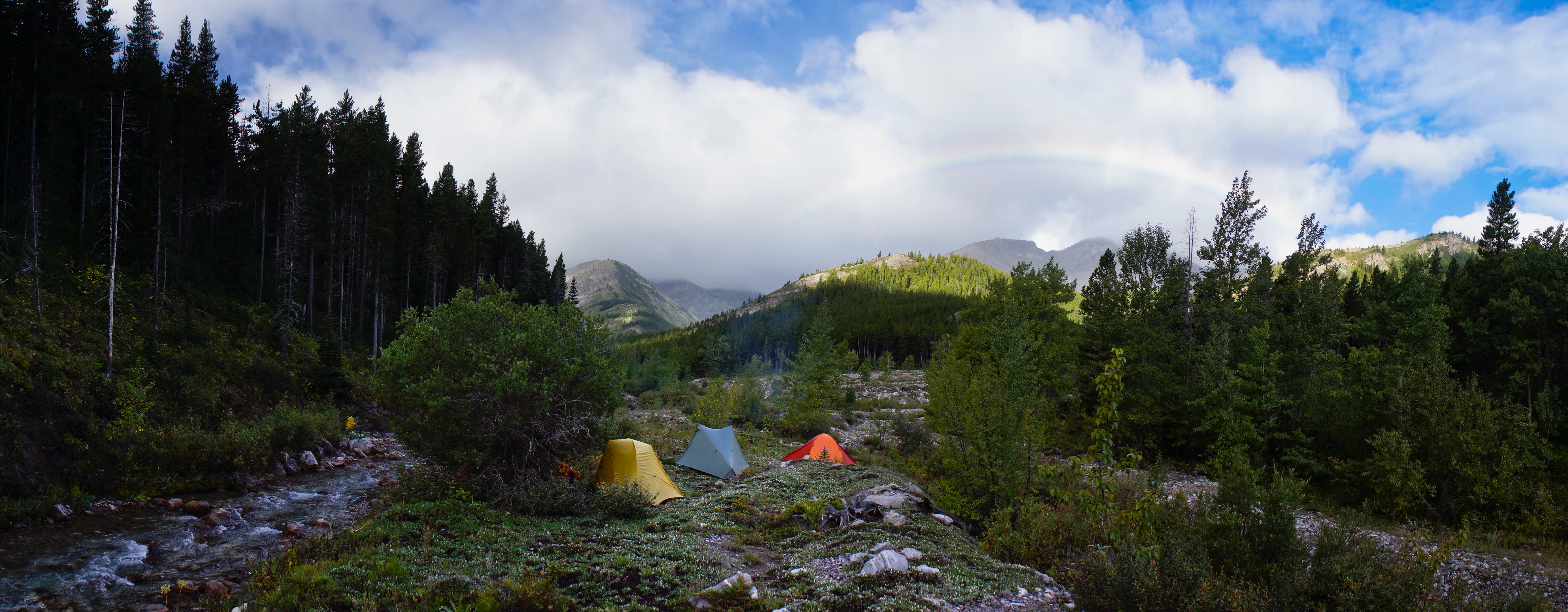
Rainbow from Middle Fork Birch Creek Camp
South from Blind-Tubby Pass
Mount Field
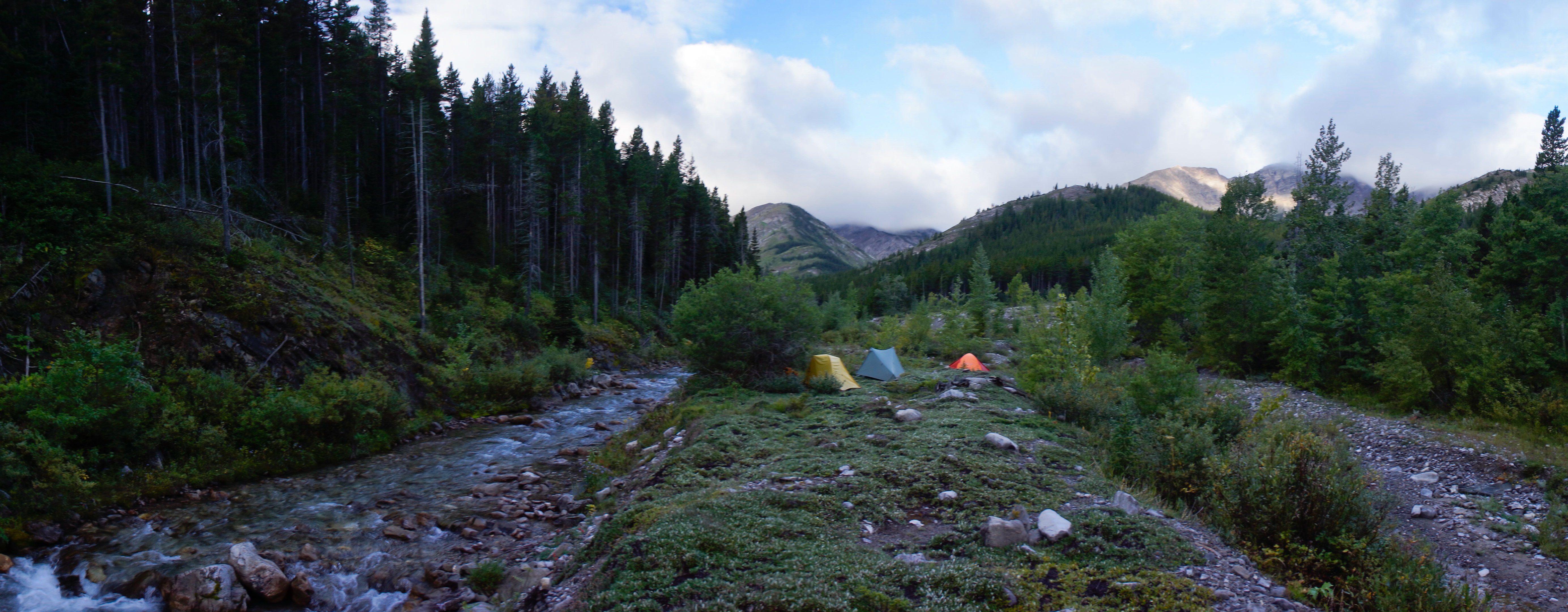
Middle Fork Birch Creek Camp
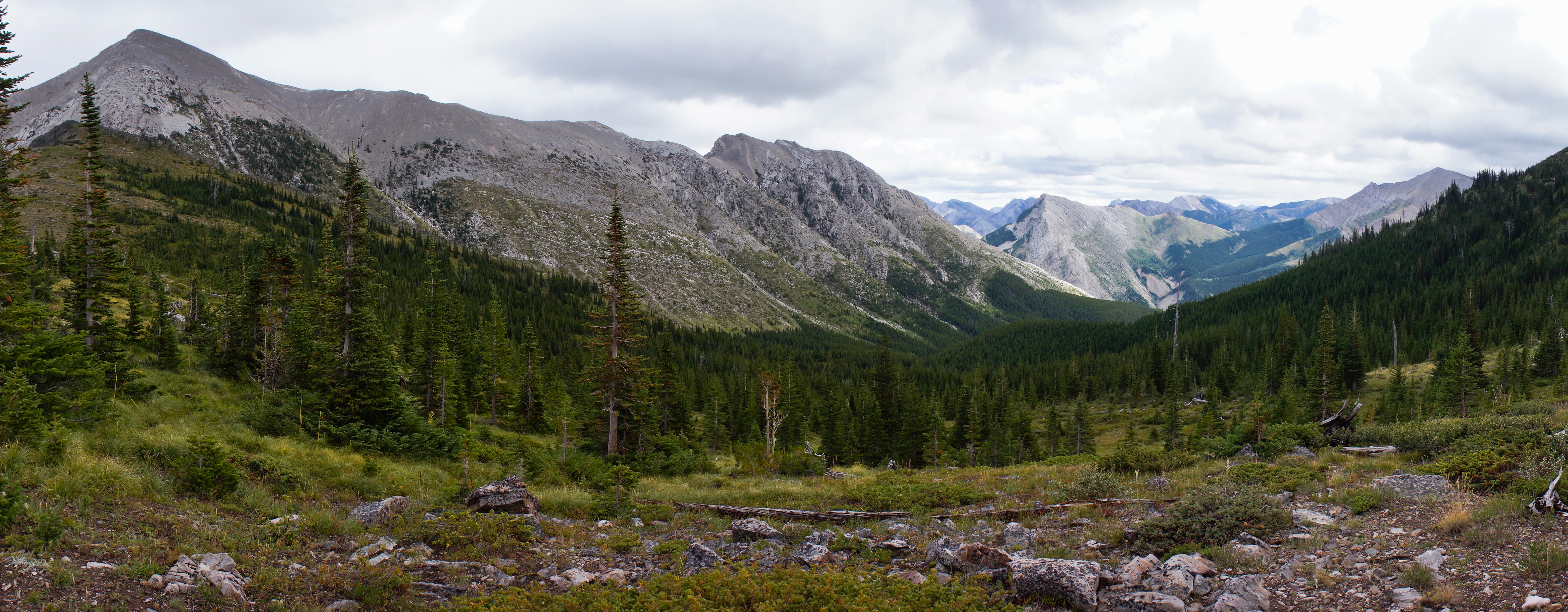
Tubby Creek Drainage
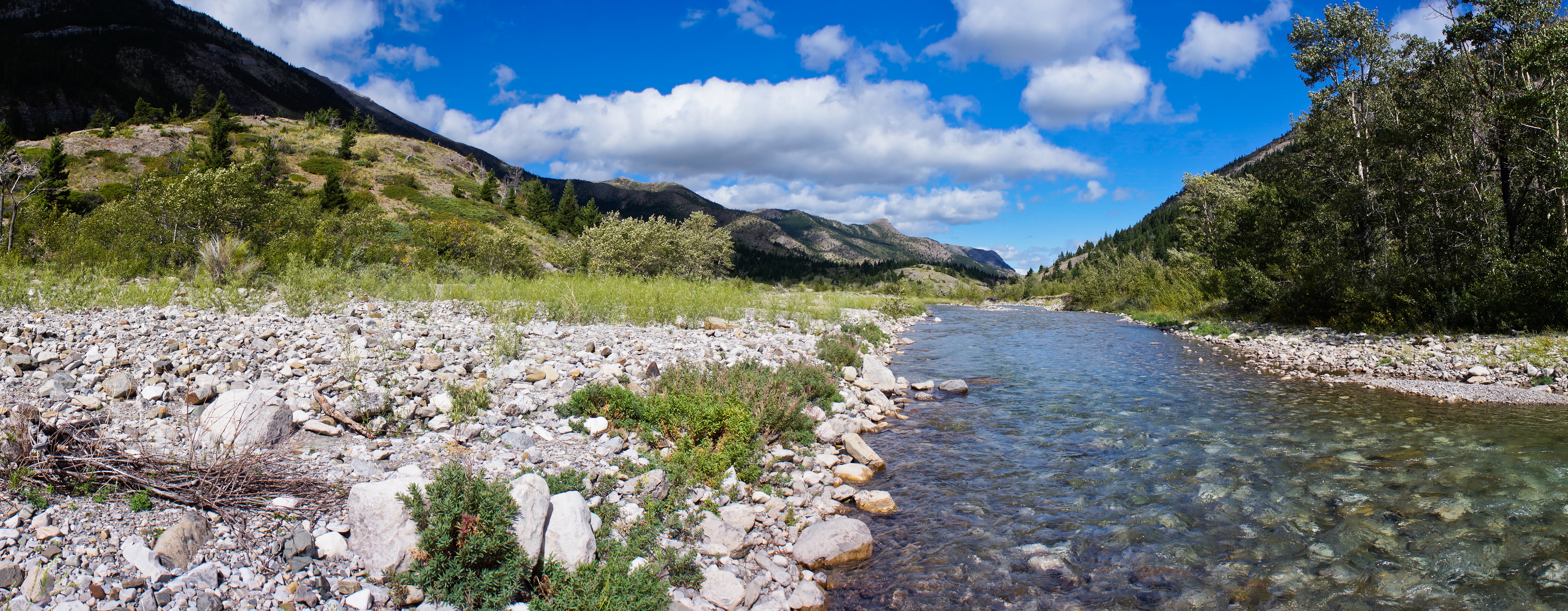
South Fork Birch Creek
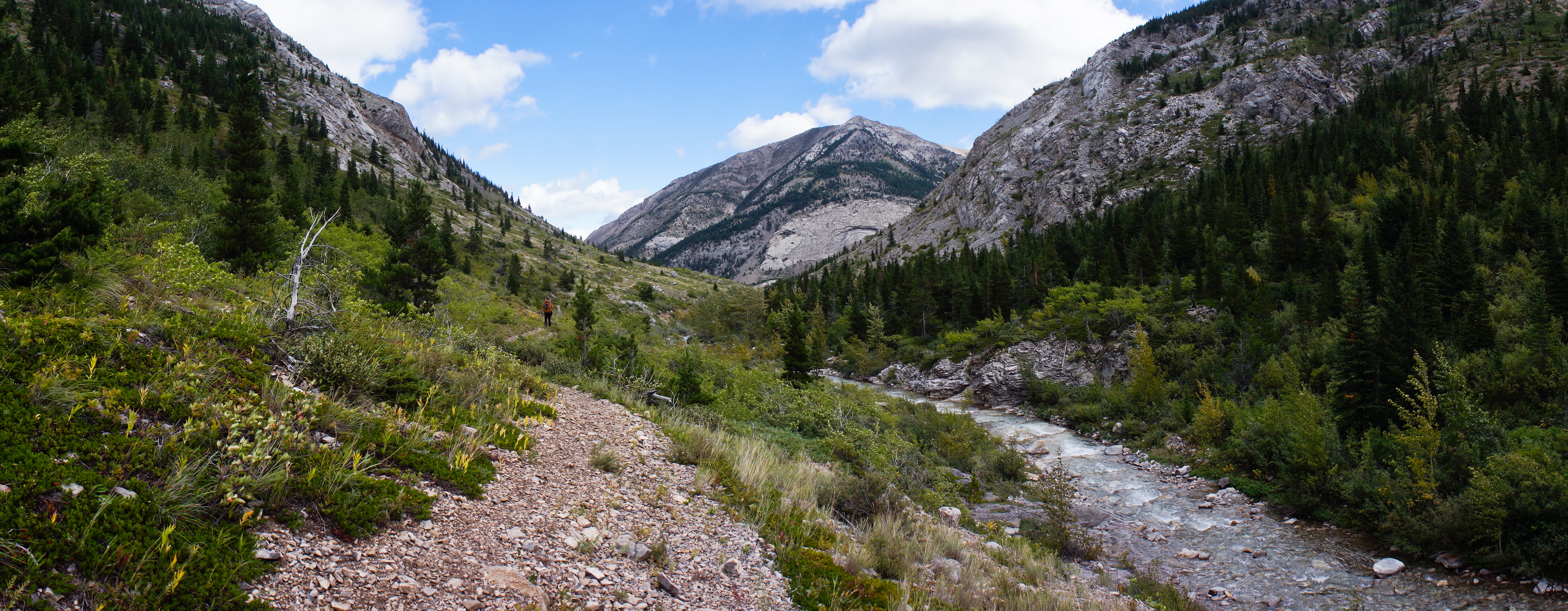
Middle Fork Birch Creek Valley
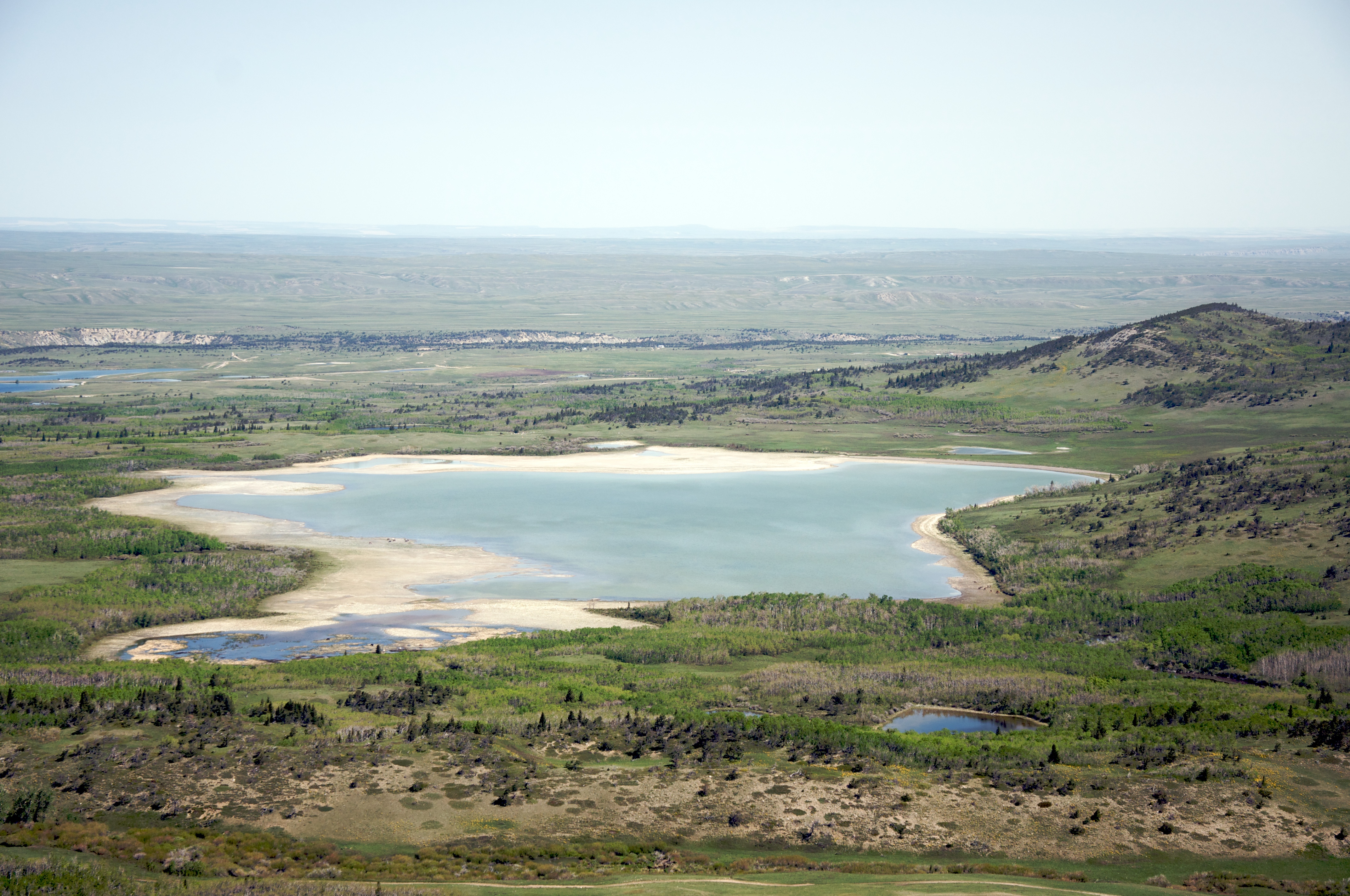
A lake west of Heart Butte, Montana

Rocky Mountain Front
North Fork Birch Creek
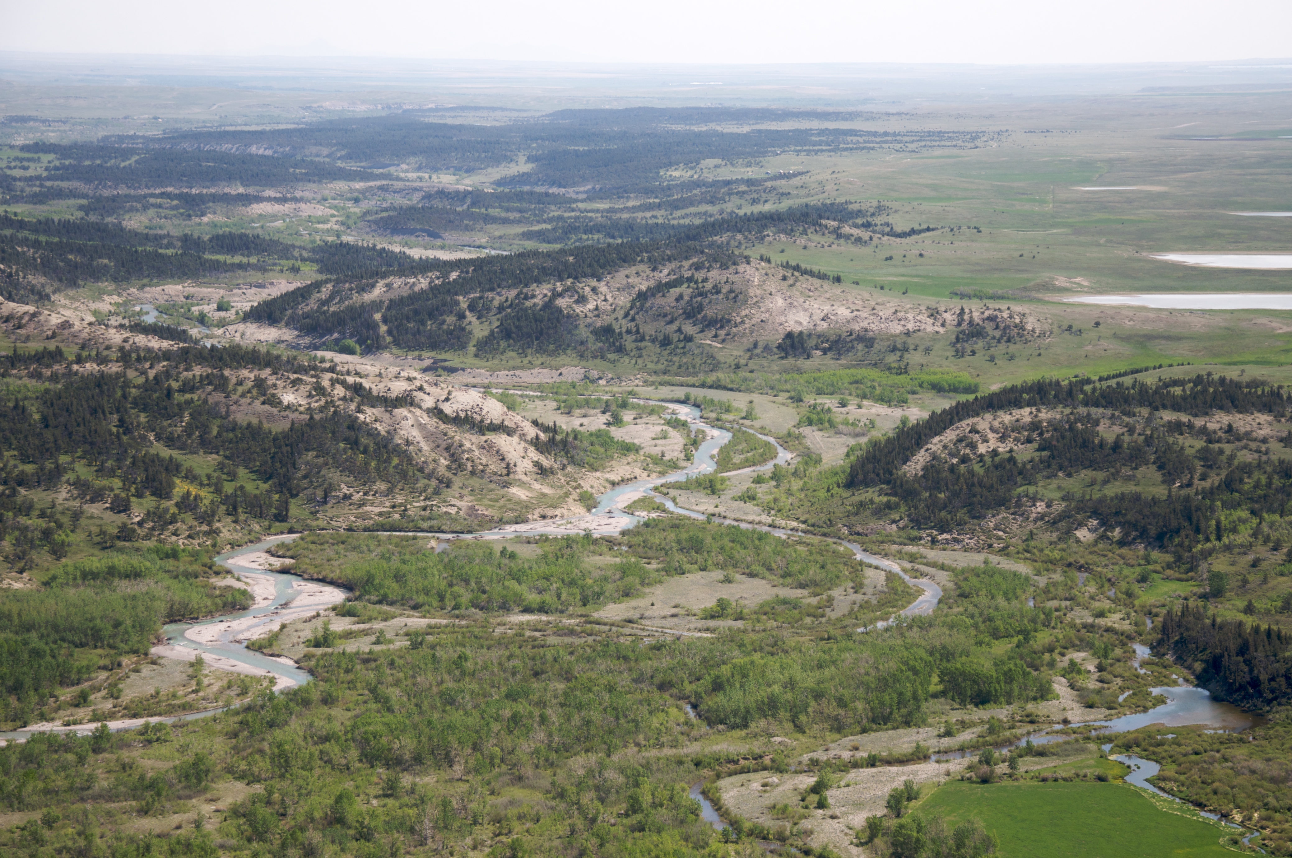
Birch Creek, Montana
Topographic Map of Major Steele Backbone, Montana, USA
Find elevation by address:

Places near Major Steele Backbone, Montana, USA:
Feather Woman Mountain
Mount Richmond
Mount Poia
Lookout Ridge South
Mount Sentinel
Pondera County Hp
Morningstar Mountain
Little Plume Peak
Crooked Mountain
Family Peak
Heart Butte
Hurricane Mountain
Spotted Eagle Mountain
Bum Shot Mountain
Half Dome Crag
Bennie Hill
Bighorn Mountain
Elbow Mountain
Mount Patrick Gass
Walling Reef
Recent Searches:
- Elevation map of Greenland, Greenland
- Elevation of Sullivan Hill, New York, New York, 10002, USA
- Elevation of Morehead Road, Withrow Downs, Charlotte, Mecklenburg County, North Carolina, 28262, USA
- Elevation of 2800, Morehead Road, Withrow Downs, Charlotte, Mecklenburg County, North Carolina, 28262, USA
- Elevation of Yangbi Yi Autonomous County, Yunnan, China
- Elevation of Pingpo, Yangbi Yi Autonomous County, Yunnan, China
- Elevation of Mount Malong, Pingpo, Yangbi Yi Autonomous County, Yunnan, China
- Elevation map of Yongping County, Yunnan, China
- Elevation of North 8th Street, Palatka, Putnam County, Florida, 32177, USA
- Elevation of 107, Big Apple Road, East Palatka, Putnam County, Florida, 32131, USA
- Elevation of Jiezi, Chongzhou City, Sichuan, China
- Elevation of Chongzhou City, Sichuan, China
- Elevation of Huaiyuan, Chongzhou City, Sichuan, China
- Elevation of Qingxia, Chengdu, Sichuan, China
- Elevation of Corso Fratelli Cairoli, 35, Macerata MC, Italy
- Elevation of Tallevast Rd, Sarasota, FL, USA
- Elevation of 4th St E, Sonoma, CA, USA
- Elevation of Black Hollow Rd, Pennsdale, PA, USA
- Elevation of Oakland Ave, Williamsport, PA, USA
- Elevation of Pedrógão Grande, Portugal